The best walks and hikes around Masera
4.5
(137)
738
hikers
23
hikes
Hiking around Masera, nestled in Italy's Ossola Valley, offers diverse landscapes characterized by wide ridges cultivated with vineyards and historic woods of chestnut and oak. The region features rural landscapes with traditional stone houses and cultivated meadows, providing views of the Ossola plain and the surrounding Alps. Trails often follow ancient mule tracks, connecting charming hamlets and leading to natural attractions like Lake Onzo and the Melezzo river. The terrain varies from gentle slopes through vineyards to more challenging ascents…
Last updated: September 26, 2026
18
hikers
10.7km
05:05
990m
1,010m
Hard hike. Very good fitness required. Mostly accessible paths. Sure-footedness required.
4.5
(2)
5
hikers
4.64km
01:52
380m
380m
Moderate hike. Good fitness required. Easily-accessible paths. Suitable for all skill levels.

5.0
(1)
1
hikers
7.20km
03:08
670m
660m
Moderate hike. Good fitness required. Easily-accessible paths. Suitable for all skill levels.
4.9
(9)
34
hikers
9.95km
03:10
360m
360m
Moderate hike. Good fitness required. Mostly accessible paths. Sure-footedness required.
4.3
(4)
24
hikers
6.50km
02:22
380m
380m
Moderate hike. Good fitness required. Mostly accessible paths. Sure-footedness required.
Get access to more routes and recommendations from other explorers.
Already have an account?
Our route recommendations are based on thousands of hikes, rides, and runs completed by other people on komoot.
Start today with a free account
Your next adventure awaits.

Tips from the Community

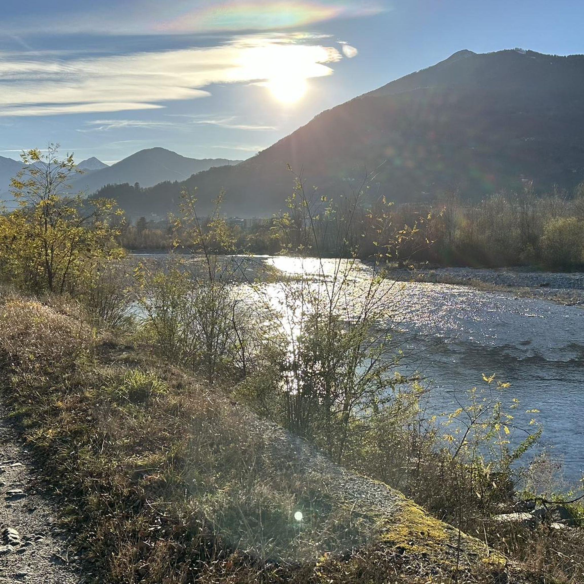
Lake Onzo and its dam.
0
0

Place of worship in the municipality of Masera
0
0
Hamlet of Masera (VB) at an altitude of 380m above sea level
0
0
Ancient mills in the municipality of Trontano (VB) which exploited the waters of the Rio Graglia for grinding rye
0
0
Hamlet of the municipality of Trontano (VB) at an altitude of 600m above sea level
0
0

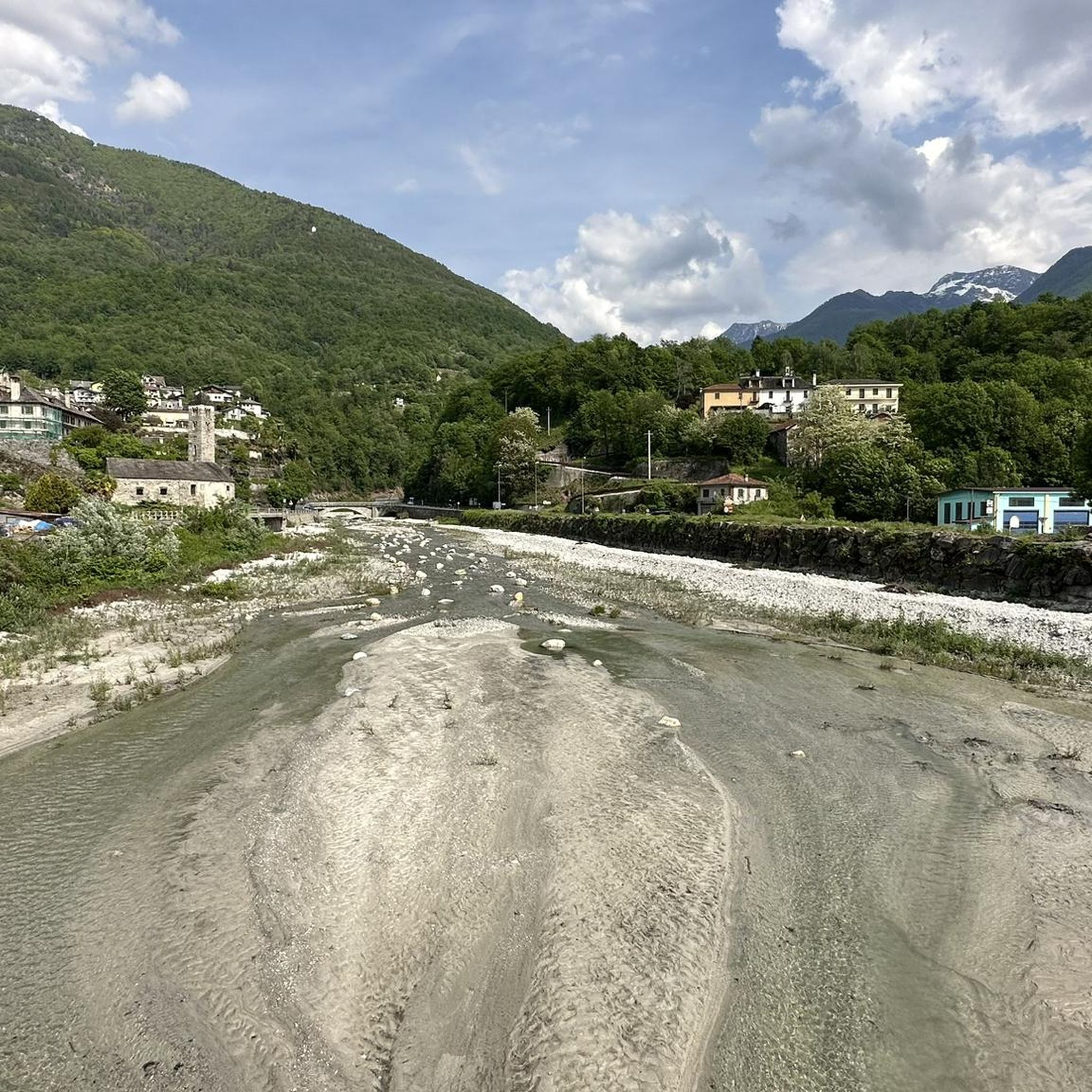
Trontano is a small town at the entrance to Val Vigezzo and also an access area for some excursions in Valgrande. It is certainly worth a visit to admire its houses, the Church and also the thirteenth-century tower of Creggio.
1
0
Small hamlet of Masera with a charming and well-kept church. It is located at approximately 490m.
1
0
One of the towns above Masera, beautiful to visit as is the entire surrounding area. Not very touristy and very authentic area.
1
0
Frequently Asked Questions
How many hiking trails are available around Masera?
Masera offers a diverse network of over 20 hiking trails, catering to various skill levels. These routes range from leisurely walks through vineyards to more challenging ascents into higher elevations.
What kind of terrain can I expect on hikes around Masera?
The terrain around Masera is quite varied. You'll find wide ridges cultivated with picturesque vineyards, historic chestnut and oak woods, and rural landscapes dotted with traditional stone houses. Many trails follow ancient mule tracks, offering views of the Ossola plain and the surrounding Alps. You can also expect to encounter natural features like the Melezzo river and Lake Onzo.
Are there family-friendly hiking options in Masera?
Yes, Masera has several routes suitable for families. There are 4 easy trails that are perfect for a relaxed outing. Many paths through the hamlets and vineyards offer gentle slopes and interesting cultural sights, making them enjoyable for all ages.
Can I bring my dog on the hiking trails in Masera?
While specific regulations can vary, generally, dogs are welcome on trails in Masera. It's always recommended to keep your dog on a leash, especially in populated areas or near livestock, and to carry waste bags to maintain the cleanliness of the paths.
Are there any circular hiking routes around Masera?
Yes, Masera offers several circular routes. A popular choice is the Via del Mercato: Masera Hamlets Loop, which takes you through ancient trade routes and picturesque hamlets. Another great option is the Lake Onzo Filippini – Oratorio di San Rocco in Ranco loop from Masera, offering scenic views of Lake Onzo.
What historical or cultural sights can I see while hiking in Masera?
Masera's trails are rich in history. You can explore charming hamlets like Paiesco, Verigo, and Ranco, which feature traditional architecture, ancient wine presses, and historic ovens. The ancient Via del Mercato (Market Route) is a significant historical path. You might also encounter historical buildings such as the 19th-century Villa Caselli and the old Oratory of Sant'Abbondio perched on a rocky precipice.
What do other hikers enjoy most about hiking in Masera?
The hiking routes in Masera are highly rated by the komoot community, with an average score of 4.6 stars from over 120 reviews. Hikers often praise the diverse landscapes, the well-maintained ancient mule tracks, and the charming hamlets that offer a blend of natural beauty and cultural insight.
Are there any routes that lead to lakes or offer water features?
Yes, several routes in the Val d'Ossola region lead to natural attractions like Lake Onzo. The Lake Onzo Filippini – Oratorio di San Rocco in Ranco loop from Masera is a moderate path that offers beautiful views of the lake. The Melezzo river and other alpine streams also contribute to the region's natural beauty along various trails.
How can I reach the hiking trailheads in Masera using public transport?
Masera is accessible, and the Vigezzina-Centovalli Railway, connecting Domodossola to Locarno, can be a convenient way to access the region. This scenic railway can be incorporated into your hiking plans, allowing you to reach various starting points or enjoy the landscape from a different perspective. For specific trailhead access, local bus services or taxi options from the train station might be available.
Are there any viewpoints or panoramic spots along the trails?
Absolutely. Many trails offer expansive views of the Ossola plain and the surrounding Alps. The vineyard-laden slopes provide picturesque vistas, and routes leading to higher elevations, such as the A06 Masera - Alpe Pescia Trail, will reward you with stunning panoramas.
What is the best time of year for hiking in Masera?
Masera is an excellent hiking destination throughout much of the year. Spring and autumn offer pleasant temperatures and vibrant scenery, with vineyards changing colors in the fall. Summer is also popular, though some higher elevation trails might be more challenging in the heat. Winter hiking is possible, but conditions can vary, especially at higher altitudes.
Are there any specific trails that highlight the vineyards of Masera?
Yes, Masera is known for its vineyard-cultivated ridges, particularly those producing Ossola wine. Specific routes lead directly through these vineyards, allowing hikers to experience the agricultural landscape up close and enjoy scenic views over the Ossola Valley. These paths are generally less strenuous and offer a unique regional experience.
Most popular attractions around Masera

Get inspired with the komoot mobile app


Explore more
Browse the best Hikes in other regions.
