The best road cycling routes around Tambre
4.6
(156)
4,246
riders
60
rides
Road cycling around Tambre offers diverse landscapes, characterized by a blend of mountains, forests, and a significant lake. The region is situated at the foot of Monte Cavallo, providing a mountainous backdrop and varied terrain for cyclists. Extensive forests like the Cansiglio Forest and the presence of Lake Santa Croce contribute to the scenic routes available. This area provides a range of road cycling options, from routes around the lake to more challenging climbs.
Best road cycling routes around Tambre
…Last updated: July 19, 2026
4.2
(11)
373
riders
66.7km
03:20
1,000m
1,000m
Hard road ride. Very good fitness required. Some segments of this route may be unpaved and difficult to ride.
5.0
(1)
38
riders
52.2km
02:52
1,070m
1,070m
Hard road ride. Very good fitness required. Mostly well-paved surfaces and easy to ride.

Sign up for free
5.0
(3)
73
riders
46.8km
02:44
1,070m
1,070m
Hard road ride. Very good fitness required. Some segments of this route may be unpaved and difficult to ride.
5.0
(1)
24
riders
20.5km
01:04
360m
360m
Moderate road ride. Good fitness required. Mostly well-paved surfaces and easy to ride.
5.0
(1)
14
riders
12.3km
00:45
310m
310m
Moderate road ride. Good fitness required. Some segments of this route may be unpaved and difficult to ride.
Get access to more routes and recommendations from other explorers.
Sign up for free
Already have an account?
Our route recommendations are based on thousands of hikes, rides, and runs completed by other people on komoot.
Start today with a free account
Your next adventure awaits.
Login or Signup
Popular around Tambre
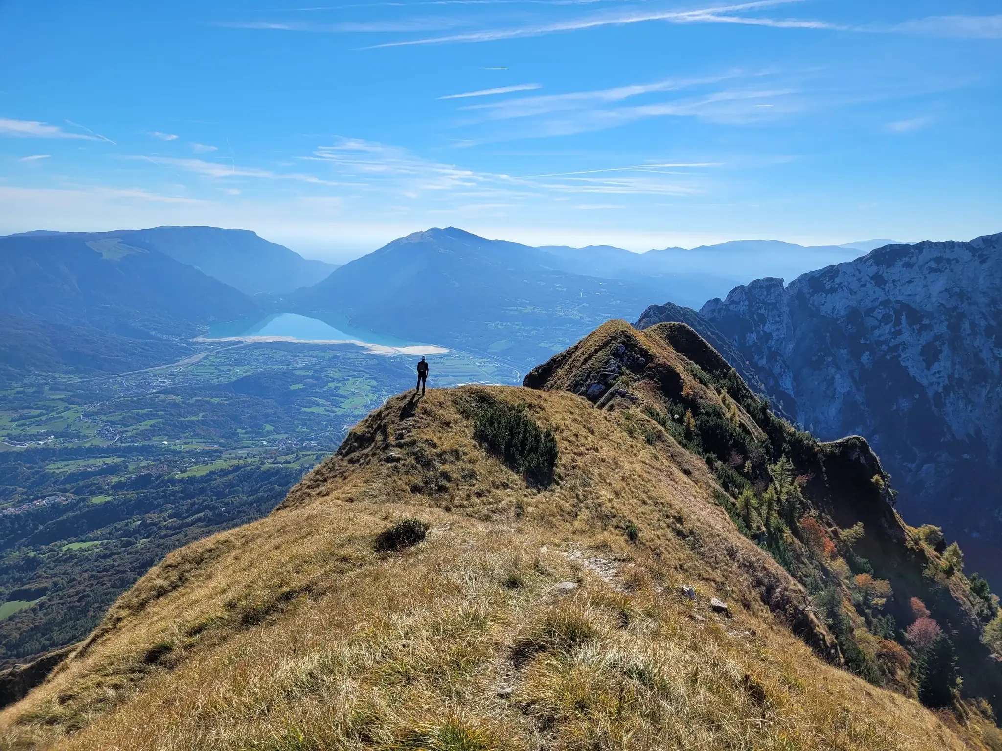
A fairytale hike in Italy’s Pale Mountains – Alta Via delle Dolomiti 7

A trail running adventure in the Dolomites – Alta Via 6

Via delle Prealpi – On the way with the MTB in the Venetian Prealps
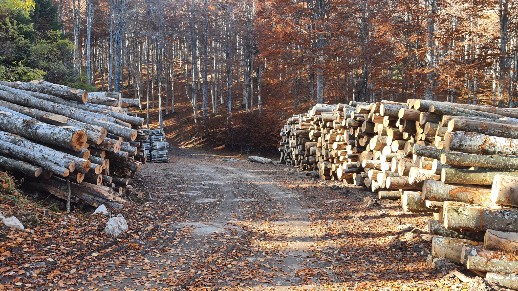
Between dirt roads and forests – Grande Anello Bellunese in Italy
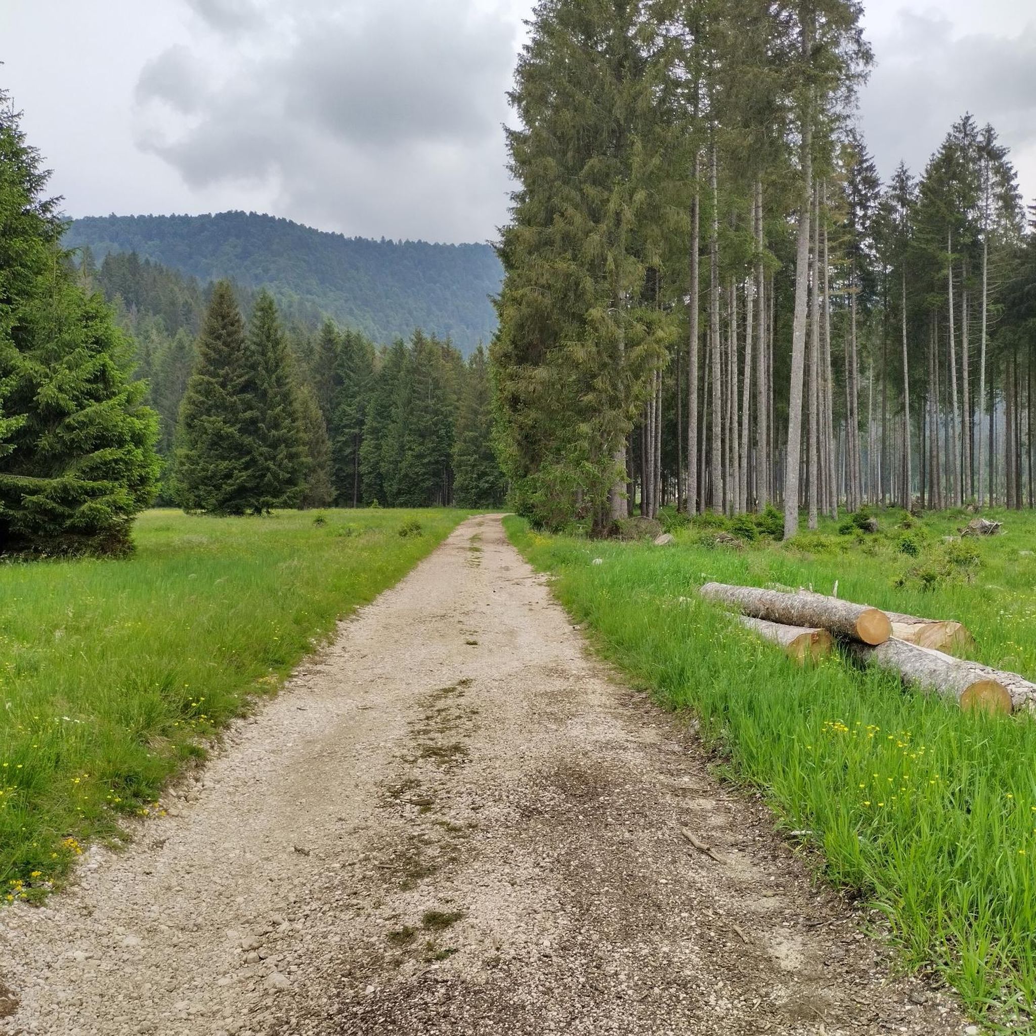
Hiking around Tambre
MTB Trails around Tambre

Gravel biking around Tambre
Cycling around Tambre
Running Trails around Tambre

Mountain Hikes around Tambre
Other adventures around Tambre


Tips from the Community

Passo della Crosetta, located at an altitude of 1,127 meters, is a strategic Alpine pass that connects the Treviso plain, in the municipality of Fregona, to the Cansiglio plateau and the province of Belluno. Nestled in a majestic setting of ancient woods, dominated by beech and fir trees, the pass represents a privileged gateway to one of the most fascinating natural areas in the Veneto region. A very popular destination in every season, it is a reference point for motorcyclists and cyclists who appreciate its scenic hairpin bends, but also an ideal starting point for hikers, ski mountaineers, and trekking enthusiasts heading towards Monte Pizzoc or the Cansiglio plain. At the pass, the presence of the historic refreshment area and rest stops allows for a regenerating break, combining the wild beauty of the mountains with the typical hospitality of the area.
0
0
Il Ristoro Crosetta, located at an altitude of 1,118 meters on the homonymous pass that connects the Treviso plain to the Cansiglio plateau, is a historic and unmissable stop for hikers, cyclists, and motorcyclists. This cozy stone and wood structure embodies the quintessence of mountain hospitality, offering a regenerating refuge in every season. The cuisine offers the authentic flavors of the Veneto-Belluno tradition, featuring game dishes, typical Cansiglio cheeses, warm polenta, and fresh mushrooms, all accompanied by homemade desserts and a good glass of local wine. Nestled in a centuries-old beech and fir forest, the establishment boasts a strategic position that makes it the ideal starting point or refreshment stop for exploring the numerous surrounding nature trails, offering an old-world atmosphere for relaxation and good food.
0
0
Lake Santa Croce, located in the picturesque basin of Alpago in the province of Belluno, is the largest body of water in the province and the second largest in the Veneto region. Surrounded by the majestic peaks of the Belluno Prealps, this natural lake is famous for its scenic beauty and its particular thermal conditions. The constant wind that blows regularly from early afternoon has made it an internationally renowned destination for lovers of water sports such as kitesurfing, windsurfing, and sailing. For those who prefer dry land or a more relaxed pace, the shores offer equipped beaches, a cycle path that circles the entire basin, and the extraordinary Sbarai Nature Oasis, a site of great value for birdwatching where you can walk admiring a rich avian fauna among majestic white willows.
0
0


Lake Santa Croce, the largest in the province of Belluno and the second largest in the Veneto region, is a natural lake formed by a landslide that closed off the Val Lapisina, blocking the Piave River's descent towards Vittorio Veneto and creating the Sella del Fadalto. Located in the Alpago area between Farra d'Alpago, Puos d'Alpago, and Ponte nelle Alpi, on the border with the province of Treviso, it is a body of water that reflects the mountains of the Alpago and the Nevegal in its crystal-clear waters. The villages along the shores still preserve examples of typical stepped-house architecture with roofs made of stone slabs, straw, and marsh reeds.
2
0

The beautiful Santa Croce lake in Farra d'Alpago.
17
0
Beautiful lake for water sports.
17
0

Rifugio Pian de Guera da Mauro fantastic place
0
0
Frequently Asked Questions
How many road cycling routes are available around Tambre?
Tambre offers a wide selection of road cycling routes, with over 40 distinct tours available. These routes cater to various skill levels, including 8 easy, 26 moderate, and 12 difficult options, ensuring there's something for every cyclist.
What kind of terrain can I expect when road cycling in Tambre?
Road cycling around Tambre features diverse landscapes, characterized by a blend of mountains, extensive forests like the Cansiglio Forest, and the significant Lake Santa Croce. You'll encounter mountainous backdrops from Monte Cavallo, scenic lake views, and routes that vary from gentle lakeside loops to more challenging climbs with varied elevation gains.
What natural features can I see while road cycling in Tambre?
Many routes offer stunning natural sights. You can cycle around Lake Santa Croce, explore the ancient Cansiglio Forest, or even pass by the beautiful Cornolade Waterfalls. The area also features dramatic viewpoints like the First Viewpoint (Skywalk del Dint), offering panoramic vistas.
Are there any cultural attractions or landmarks near the cycling routes?
Yes, beyond the natural beauty, Tambre and its surroundings offer unique cultural sites. You might encounter the Alchemist's House in Valdenogher or the singular House of Books in Sant'Anna. For a historical perspective, the town of Tambre itself has a rich history.
What is the best time of year for road cycling in Tambre?
The region is particularly popular for cycling in July and August due to favorable weather. However, the vibrant autumn foliage in the Cansiglio Forest also makes for a spectacular cycling experience. While winter offers cross-country skiing, road cycling is best enjoyed from late spring through early autumn.
Are there family-friendly road cycling routes in Tambre?
Yes, Tambre offers easy rides suitable for any fitness level, including families. These routes often feature gentler gradients and scenic paths, such as those around Lake Santa Croce, providing a pleasant experience for all ages. There are 8 easy routes available in the area.
Are there circular road cycling routes available?
Many of the road cycling routes around Tambre are designed as loops, allowing you to start and end in the same location. Examples include the Santa Croce Lake – View of Lake Santa Croce loop from Tambre and the Santa Croce Lake – Lake Morto loop from Farra d'Alpago, which are popular choices.
What do other road cyclists enjoy most about road cycling in Tambre?
The area is highly rated by the komoot community, with an average score of 4.5 stars from over 100 reviews. Cyclists often praise the diverse landscapes, the stunning views of Lake Santa Croce, and the challenging yet rewarding climbs through the mountainous terrain and forests.
Can I find routes that pass by waterfalls?
Yes, one notable route, the Lake Santa Croce – Cornolade Waterfalls loop from Farra d'Alpago, specifically passes by the beautiful Cornolade Waterfalls, offering a refreshing natural highlight during your ride.
Are there options for advanced road cyclists seeking a challenge?
Absolutely. Tambre provides several challenging routes, with 12 difficult options available. These often feature significant elevation gains and longer distances, such as the Lake Barcis – Water Fountain loop from Piancavallo / Plancjaval, which leads through mountainous terrain and requires good to very good fitness.
Is it possible to combine road cycling with other outdoor activities in Tambre?
Yes, Tambre d'Alpago is a hub for various outdoor pursuits. Besides road cycling, you can enjoy hiking and trekking on trails like the Col Indes path, water sports on Lake Santa Croce, or even paragliding from Mount Dolada. In winter, the Cansiglio Forest transforms into a cross-country skiing destination.
Most popular attractions around Tambre

Get inspired with the komoot mobile app


Explore more
Browse the best Road cycling routes in other regions.
