The best MTB trails around Tambre
4.7
(490)
2,497
riders
31
rides
Mountain bike trails around Tambre are characterized by diverse terrain, including extensive forest roads and challenging climbs. The region features areas like the Candaglia Forest and the Foresta del Cansiglio, offering varied landscapes for mountain biking. Riders can expect routes that traverse forested areas and include significant elevation changes. The network provides options for different skill levels, from moderate to difficult.
Best mountain bike trails around Tambre
- The most popular mountain bike trail is Candaglia Forest Road – Strada del…
Last updated: July 19, 2026
4.1
(15)
47
riders
19.3km
01:39
320m
320m
Hard mountain bike ride. Good fitness required. Advanced riding skills necessary. Some portions of the route may require you to push your bike.
4.7
(239)
1,355
riders
49.1km
04:41
1,170m
1,170m
Hard mountain bike ride. Very good fitness required. Advanced riding skills necessary. Some portions of the route may require you to push your bike.

Sign up for free
4.7
(64)
272
riders
43.8km
03:53
1,190m
1,190m
Hard mountain bike ride. Very good fitness required. Advanced riding skills necessary. Some portions of the route may require you to push your bike.
4.6
(50)
278
riders
36.5km
02:59
720m
720m
Moderate mountain bike ride. Good fitness required. Suitable for all skill levels.
4.4
(33)
83
riders
25.3km
02:21
670m
670m
Hard mountain bike ride. Good fitness required. Advanced riding skills necessary. Some portions of the route may require you to push your bike.
Get access to more routes and recommendations from other explorers.
Sign up for free
Already have an account?
Our route recommendations are based on thousands of hikes, rides, and runs completed by other people on komoot.
Start today with a free account
Your next adventure awaits.
Login or Signup
Popular around Tambre

Via delle Prealpi – On the way with the MTB in the Venetian Prealps
A fairytale hike in Italy’s Pale Mountains – Alta Via delle Dolomiti 7

A trail running adventure in the Dolomites – Alta Via 6
Between dirt roads and forests – Grande Anello Bellunese in Italy
Hiking around Tambre

Gravel biking around Tambre
Cycling around Tambre
Road Cycling Routes around Tambre
Running Trails around Tambre

Mountain Hikes around Tambre
Other adventures around Tambre


Tips from the Community

Il Ristoro Crosetta, located at an altitude of 1,118 meters on the homonymous pass that connects the Treviso plain to the Cansiglio plateau, is a historic and unmissable stop for hikers, cyclists, and motorcyclists. This cozy stone and wood structure embodies the quintessence of mountain hospitality, offering a regenerating refuge in every season. The cuisine offers the authentic flavors of the Veneto-Belluno tradition, featuring game dishes, typical Cansiglio cheeses, warm polenta, and fresh mushrooms, all accompanied by homemade desserts and a good glass of local wine. Nestled in a centuries-old beech and fir forest, the establishment boasts a strategic position that makes it the ideal starting point or refreshment stop for exploring the numerous surrounding nature trails, offering an old-world atmosphere for relaxation and good food.
0
0

Together with Pian Cansiglio and Cornesega, Valmenera is one of the three depressions that make up the central part of the Cansiglio Plateau. The largest in terms of area. This evocative basin is particularly known for its cold microclimate, where record thermal inversions are recorded with temperatures that, in the winter months, can drop to extreme levels. A historical peak was reached in March 2005, when ARPA Veneto analyses recorded a temperature of -35.4°C. Located in the municipal territory of Tambre (BL), it has a wide and flat bottom, called Piano di Valmenera. It represents a typical polje, whose slopes are largely covered by arboreal vegetation; the western slopes, on the other hand, are characterized by meadows, with rather degraded herbaceous vegetation, due to exploitation in the form of mowing and grazing. The dairy farm of the same name, which today operates as a farm stay, is in fact surrounded by 74 hectares of meadows used for grazing its own livestock. Up to here, through the Campon valley, came a tongue of the ancient and vast Piave Glacier. The Piano di Valmenera and part of the basin are part of the "Pian di Landro-Baldassarre" Oriented Nature Reserve.
1
0

the charm of this forest and the silence
0
0

It's supposed to be a shelter hut.
0
0

beautiful beech forest, gravel road
0
0

Unlike the classic Cansiglio loop, from Crosetta we descended towards Fregona for about 500 meters until reaching the 14% climb that leads to the Malghe trail. The route runs through Friuli Venezia Giulia, in the municipalities of Caneva and Polcenigo, through pastures. At km 7.41, we turn left to reach the Candaglia Forestry House and then resume the classic tour. We then reach Sant'Anna and Broz. From there, we climb back up to Campon to join the Taffarel.
1
0

If you climb the hill on a clear day, you have a view of Venice, the Jesolo coast and the entire Veneto-Friuli plain.
0
0

Frequently Asked Questions
How many mountain bike trails are available in Tambre?
Tambre offers a good selection of mountain bike trails, with over 25 routes available for exploration. These trails cater to various skill levels, from moderate to difficult, ensuring a diverse riding experience.
What kind of terrain can I expect on mountain bike trails around Tambre?
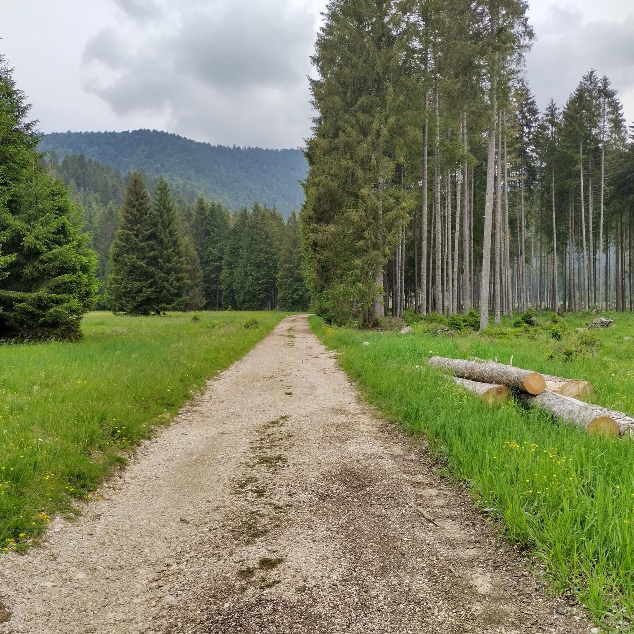
Mountain bike trails around Tambre are characterized by diverse terrain, including extensive forest roads and challenging climbs. You'll traverse forested areas like the Candaglia Forest and the Foresta del Cansiglio, encountering significant elevation changes and varied landscapes. The region offers a mix of smooth sections and technical elements.
Are there mountain bike trails suitable for beginners in Tambre?
While Tambre is known for its more challenging routes, there are a few options suitable for beginners. The guide lists 4 easy trails, providing a gentler introduction to mountain biking in the area. These routes are a great way to experience the region's beauty without overly technical demands.
What are some of the most challenging mountain bike routes in Tambre?
Tambre is home to many challenging mountain bike routes, with 17 difficult trails available. Notable examples include the Candaglia Forest Road – Strada del Taffarel loop from Area Wilderness Pian de le Stele, which features substantial elevation gain over 30.5 miles, and the Candaglia Forest Road – Strada della Candaglia loop from Area Wilderness Pian de le Stele, a 27.2-mile trail through dense forest with significant climbing.
Are there any circular mountain bike routes in Tambre?
Yes, many of the mountain bike routes in Tambre are designed as loops, offering a convenient way to start and end your ride in the same location. Examples include the Candaglia Forest Road – Strada del Taffarel loop and the Malga Col dei Scios – Candaglia Forest Road loop, both providing extensive circular tours through the region's forests and hills.
What is the best time of year to go mountain biking in Tambre?
Based on the characteristics of the region, the best time for mountain biking in Tambre is typically during the warmer months, from late spring through early autumn. This period offers more stable weather conditions and clear trails, allowing for optimal enjoyment of the forest roads and climbs. Winter conditions can make many trails impassable or require specialized gear.
What do other mountain bikers enjoy most about Tambre?
The mountain biking experience in Tambre is highly rated by the komoot community, with an average score of 4.5 stars from over 400 reviews. Riders frequently praise the extensive forest roads, the challenging nature of the climbs, and the varied terrain that makes each ride unique. The opportunity to explore areas like the Candaglia Forest and the Foresta del Cansiglio is also a major draw.
Are there any natural features or landmarks to see along the mountain bike trails?
Yes, Tambre and its surroundings offer several natural features and landmarks that can be incorporated into your mountain biking adventures. You might encounter beautiful bodies of water such as Lake Santa Croce or Lake Morto. The Strada del Taffarel itself is a notable trail feature.
Can I find any historical sites or castles near the mountain bike routes?
Yes, the region around Tambre is rich in history and features several interesting sites. You can explore castles such as Caneva Castle, Castrum di Serravalle, or the Castle of Aviano. There are also historical remnants like the Ruins of Turris Nigra (Black Tower), offering a glimpse into the area's past.
Are there any specific points of interest or viewpoints accessible by mountain bike?
While specific viewpoints are not detailed for every route, the significant elevation changes and forested landscapes of Tambre often lead to scenic vistas. The Col Visentin Hut is a notable point of interest that could offer panoramic views, often accessible via mountain bike trails.
What is the typical elevation gain on mountain bike trails in Tambre?
Mountain bike trails in Tambre are known for significant elevation changes. For example, the Candaglia Forest Road – Strada del Taffarel loop involves over 1,100 meters of ascent, while the Candaglia Forest Road – Strada della Candaglia loop also features over 1,100 meters of climbing. Riders should be prepared for substantial uphill sections.
Are there any trails that explore the Foresta del Cansiglio?
Yes, the Foresta del Cansiglio is a prominent feature of the Tambre region and is explored by several mountain bike routes. An example is the Esplorando la Foresta del Cansiglio route, which offers a challenging 19 km ride through this beautiful forest.
Most popular routes around Tambre
Most popular attractions around Tambre

Get inspired with the komoot mobile app


Explore more
Browse the best MTB trails in other regions.
