The best mountain hikes around Argentera
4.7
(7)
74
hikers
10
hikes
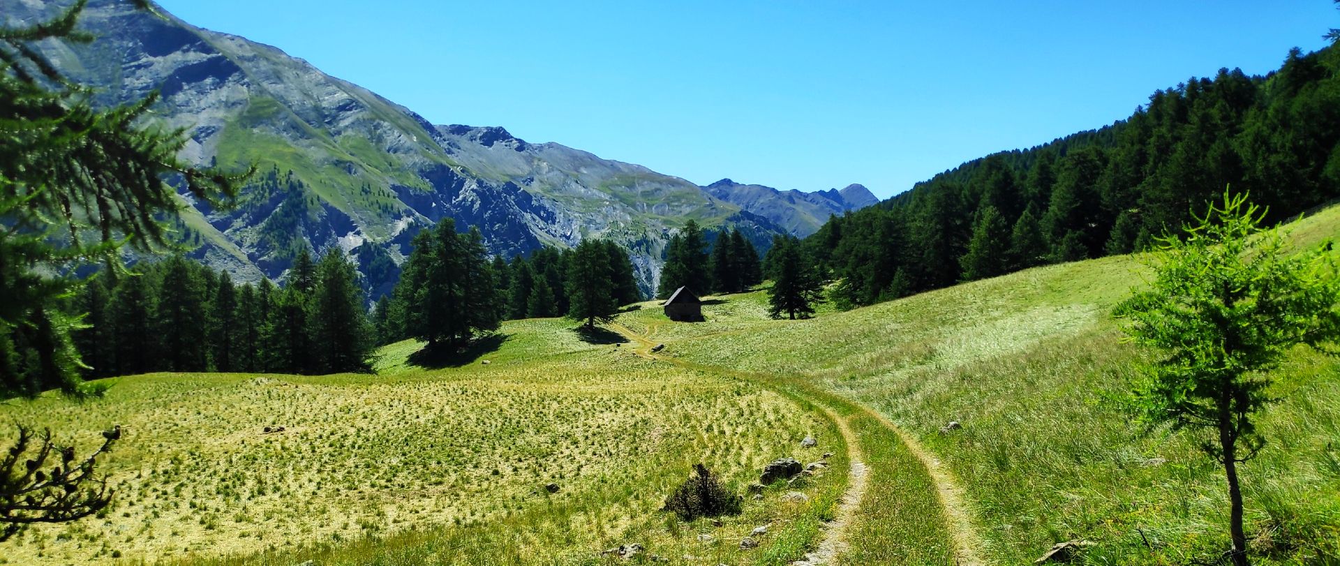
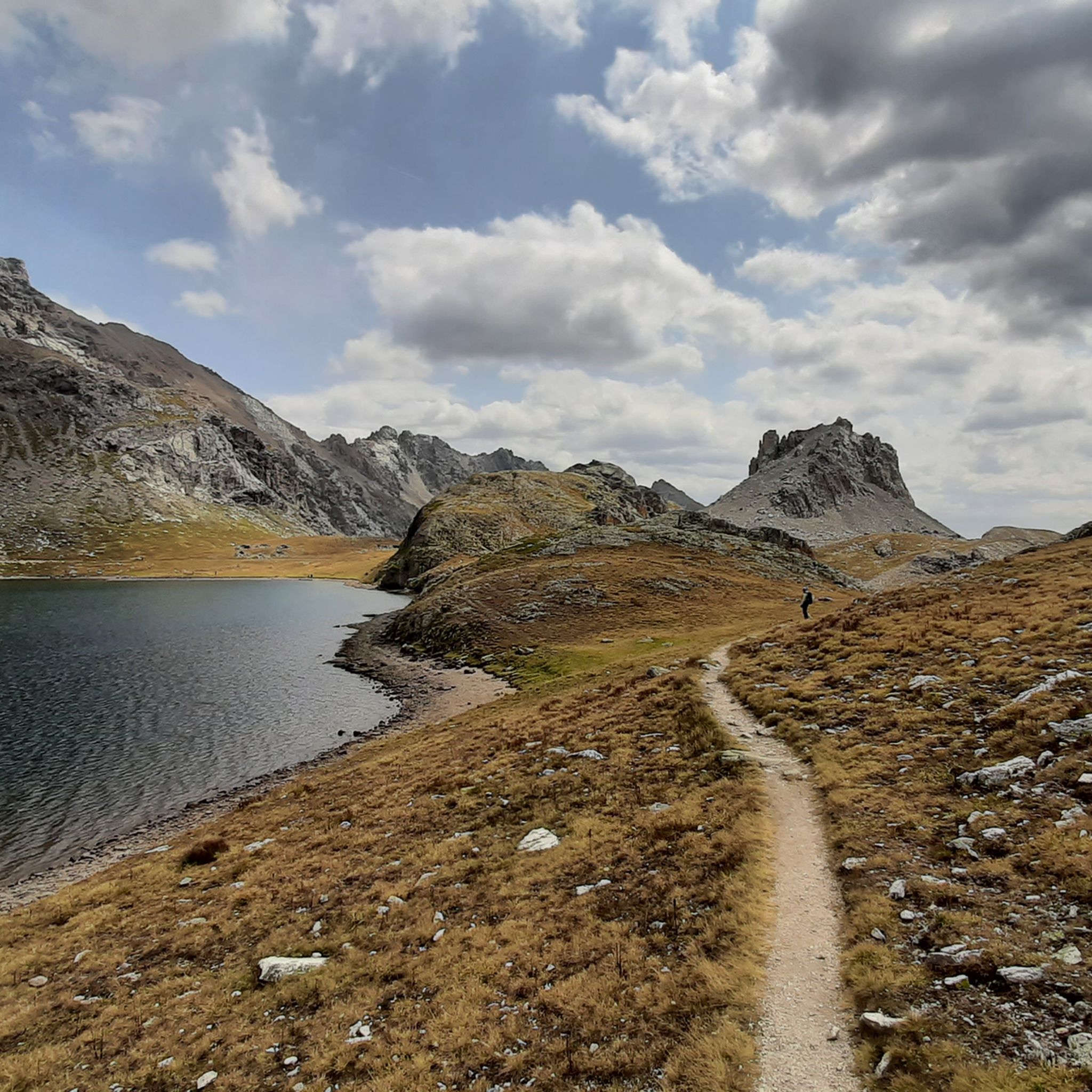
Mountaineering around Argentera provides access to the challenging peaks and diverse alpine landscapes of Italy's Piedmont region, bordering France. This area is characterized by towering mountains like Monte Oserot and Enciastraia, set within the larger Mercantour-Argentera massif. The terrain features striking high-mountain environments, including glacial lakes such as the Roburent Lakes, and is geologically formed by gneiss with local granite outcrops.
Best mountaineering routes around Argentera
- The most popular mountaineering route is Bonelli Bivouac – Mont Souberyan Summit loop from…
Last updated: September 28, 2026
17
hikers
Hard mountaineering route. Very good fitness required. Sure-footedness, sturdy shoes and alpine experience required.
12
hikers
Moderate mountaineering route. Good fitness required. Mostly accessible paths. Sure-footedness required.

7
hikers
Hard mountaineering route. Very good fitness required. Sure-footedness, sturdy shoes and alpine experience required.
5.0
(2)
6
hikers
17.5km
08:01
1,350m
1,350m
Hard mountaineering route. Very good fitness required. Sure-footedness, sturdy shoes and alpine experience required.
4.7
(3)
8
hikers
8.82km
04:31
710m
710m
Moderate mountaineering route. Good fitness required. Mostly accessible paths. Sure-footedness required.
Get access to more routes and recommendations from other explorers.
Already have an account?
Our route recommendations are based on thousands of hikes, rides, and runs completed by other people on komoot.
Start today with a free account
Your next adventure awaits.
Popular around Argentera

Seven MTB routes in the Southern Alps – nature, passes and valleys
MTB Tour of the Ubaye Valley – La Transubayenne

MigrAction – Generations in Motion
Hiking around Argentera
MTB Trails around Argentera
Road Cycling Routes around Argentera
Cycling around Argentera
Running Trails around Argentera

Gravel biking around Argentera


Tips from the Community

Stunning landscapes and fantastic descent!!!
0
0

Breathtaking views. You always have to push the first few meters of altitude, but then it becomes more flowing and particularly beautiful
0
0

Important pass between France and Italy, it is surrounded by a frame of wonderful mountains, which make you want to return to the valley. Several points of interest "anthropogenic" - including: French side, a contour line model of the area of the pass; Italian side, memorial monuments to Tazio Nuvolari and Fausto Coppi, protagonist on this pass of the legendary feat of the Cuneo-Pinerolo stage in 1949.
1
0
Important pass between France and Italy, it is surrounded by a frame of wonderful mountains, which make you want to return to the valley. Several points of interest "anthropogenic" - including: French side, a contour line model of the pass area; Italian side, memorial monuments to Tazio Nuvolari and Fausto Coppi, protagonist on this pass of the legendary feat of the Cuneo-Pinerolo stage in 1949.
0
0


Magnificent, not to be missed, the effort is worth it.
0
0
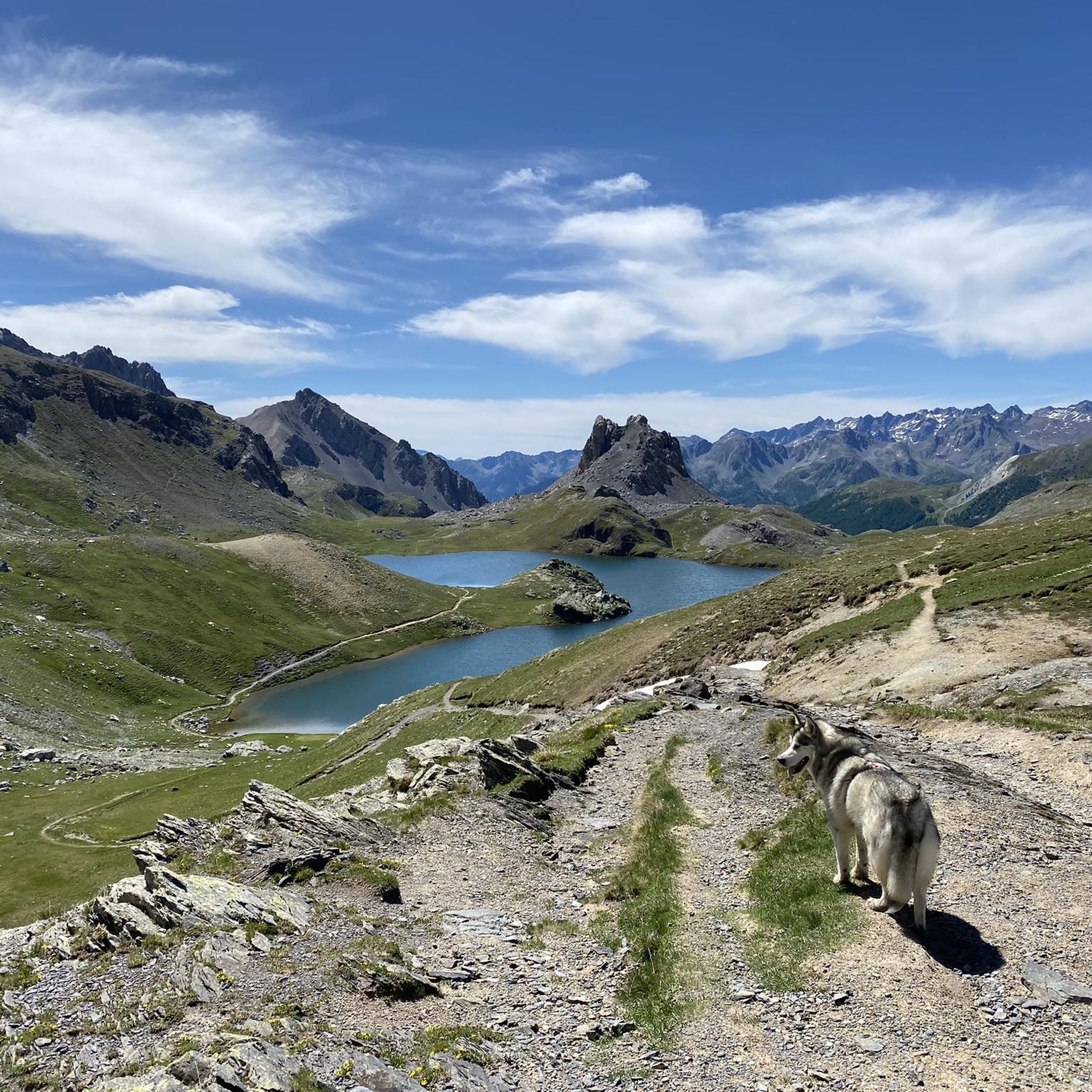
A first step before the magnificent Roburent lake 🇮🇹
0
0
Very beautiful lake in a superb landscape. Few people in September so very pleasant. Just watch out for the sheepdogs, not aggressive but impressive.
0
0
Frequently Asked Questions
How many mountaineering routes can I find around Argentera?
There are 19 mountaineering routes around Argentera, offering a range of experiences from moderate to difficult. These routes are highly rated by the komoot community, with an average score of 4.8 stars.
What kind of terrain and difficulty can I expect on Argentera's mountaineering routes?
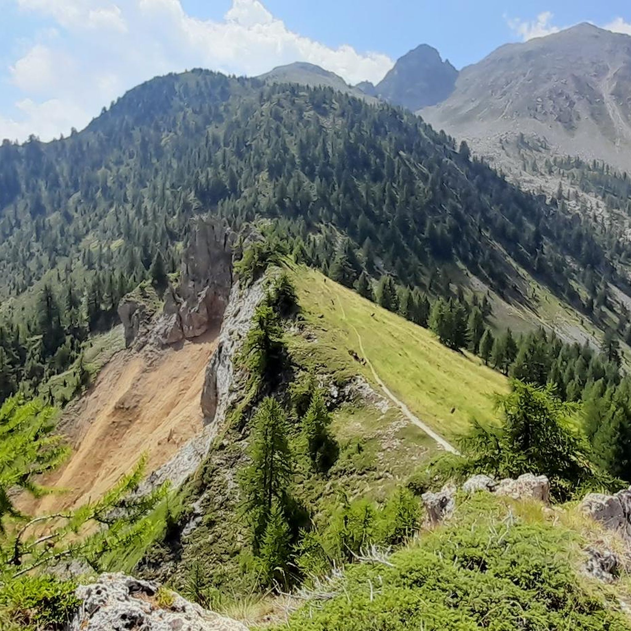
Argentera offers a mix of moderate and difficult routes, characterized by stunning high-mountain landscapes. You'll encounter towering peaks, diverse alpine environments, and challenging sections, sometimes with exposed climbing or equipped with metal cables. The geology features gneiss with local granite outcrops, adding to the varied terrain.
Are there any circular mountaineering routes in Argentera?
Yes, several routes offer a circular experience. For example, the Bonelli Bivouac – Mont Souberyan Summit loop from Sorgenti del Maira is a challenging 13.8 km loop, while the Borgata Preit (1540 m) loop from Preit offers a moderate 12.8 km option. Another popular choice is the Roburent Lakes – Upper Roburent Lake loop from Col de Larche / Colle della Maddalena, which takes you through glacial lake landscapes.
What natural features or landmarks can I see along the mountaineering routes?
The region is rich in natural beauty. You can explore numerous glacial lakes, such as the scenic Roburent Lakes and Maddalena Lake. Notable peaks include Monte Oserot and Enciastraia. You might also encounter significant natural monuments like the Source of the Maira or the serene Lago Nero (Valle Maira). The area is part of the Mercantour-Argentera massif, known for its unparalleled biodiversity.
What is the best time of year for mountaineering in Argentera?
The best time for summer mountaineering is typically from late spring through early autumn, when trails are clear of snow and weather conditions are more stable. However, Argentera is also a renowned destination for ski mountaineering, with possibilities extending into spring due to excellent snow quality and northern exposure.
Are there any family-friendly mountaineering options around Argentera?
While many routes are challenging, some moderate options might be suitable for families with older children who have some hiking experience. For instance, the L. de Oronaye loop from Meyronnes is a moderate 11.2 km route with less elevation gain, offering a good introduction to the alpine environment.
Can I bring my dog on the mountaineering trails in Argentera?
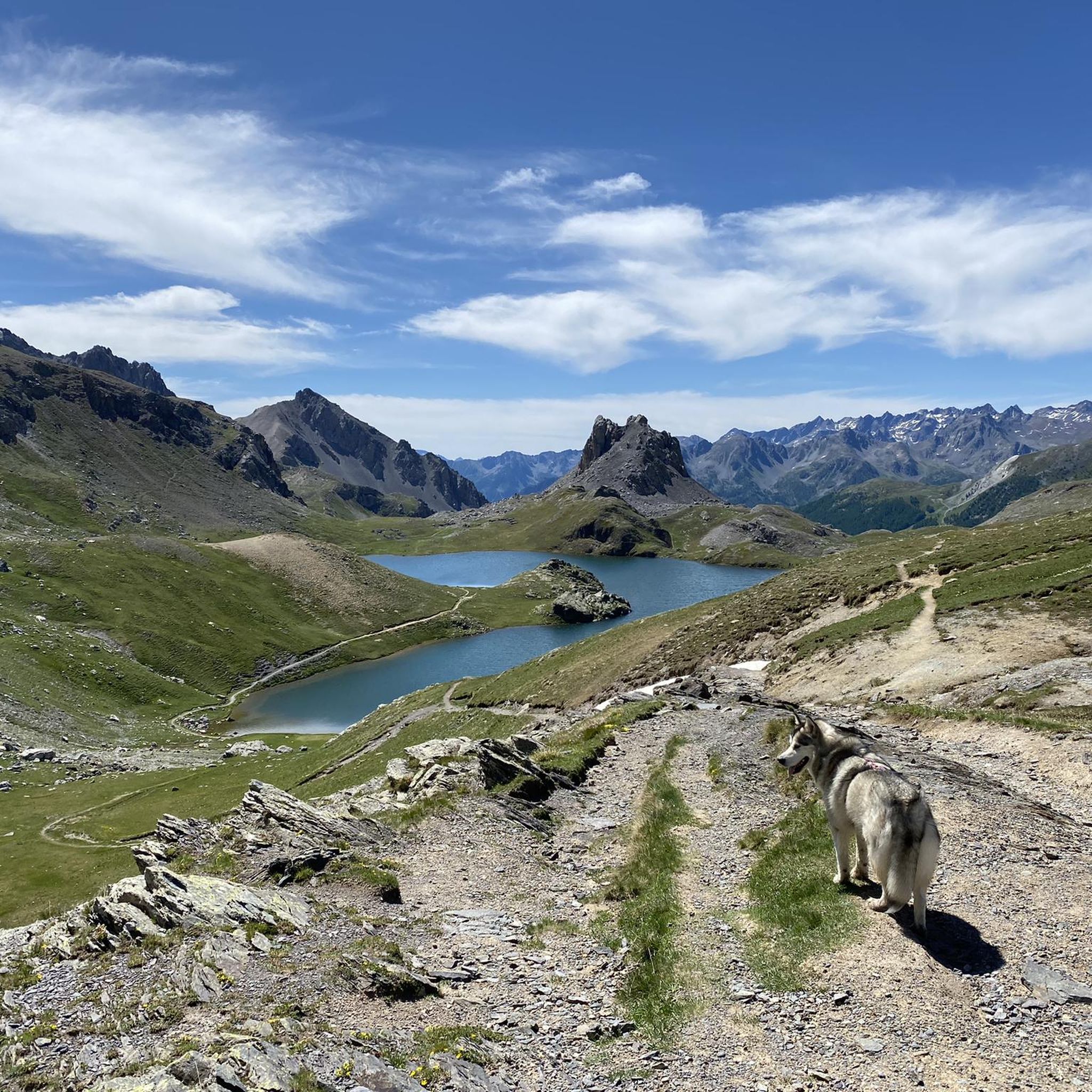
Many trails in the Argentera region are dog-friendly, but it's always advisable to check specific regulations for protected areas like the Maritime Alps Natural Park or Mercantour National Park, which border the area. Always keep your dog under control, especially in areas with wildlife or livestock.
Are there places to stay or eat near the mountaineering routes?
Yes, there are various options for accommodation and refreshments. You can find mountain huts like the Gardetta Hut or the Guglielmo Migliorero Hut, which offer shelter and often food. The hamlets of Argentera, such as Bersezio and Ferrere, also provide local amenities and a glimpse into traditional Alpine architecture.
Do I need a permit for mountaineering in Argentera?
Generally, permits are not required for mountaineering on most routes in Argentera. However, if your route takes you into specific protected areas like the Maritime Alps Natural Park or across the border into Mercantour National Park, it's always wise to check their specific regulations regarding access, camping, or other activities.
What are some less crowded mountaineering routes in Argentera?
While the region is popular, exploring routes slightly off the main paths can offer a more solitary experience. Consider routes that venture into the wider side valleys, which are numerous in Argentera. The Rifugio Viviere – Monte Scaletta loop from Viviere, for example, offers a challenging 15.3 km journey through diverse landscapes.
What kind of wildlife might I encounter while mountaineering in Argentera?
The Mercantour-Argentera massif is known for its rich biodiversity, protected by the Mercantour National Park and Maritime Alps Natural Park. You might spot chamois, ibex, marmots, and various bird species, including eagles. Always observe wildlife from a distance and avoid disturbing their natural habitat.
Most popular routes around Argentera
Most popular attractions around Argentera

Get inspired with the komoot mobile app


Explore more
Browse the best Mountain Hikes & Routes in other regions.
