The best running trails around Longarone
4.1
(74)
4,842
runners
143
runs
Jogging around Longarone offers diverse terrain within the province of Belluno, serving as a gateway to the Dolomites, a UNESCO World Heritage site. The region features dramatic mountain peaks and scenic routes along the Piave River, where it meets the Maè stream. Runners can explore the unique landscapes of the Vajont Gorge and the extensive Cajada Forest, characterized by dense woods and undulating glades. The area provides a range of options from mostly paved, easy routes to more strenuous trails…
Last updated: August 1, 2026
5.0
(2)
158
runners
21.3km
03:03
900m
910m
Hard run. Very good fitness required. Sure-footedness, sturdy shoes and alpine experience required.
23
runners
10.5km
01:06
90m
90m
Moderate run. Good fitness required. Mostly paved surfaces. Suitable for all skill levels.

Sign up for free
19
runners
Moderate run. Good fitness required. Mostly paved surfaces. Suitable for all skill levels.
3.0
(1)
18
runners
4.55km
00:29
70m
70m
Easy run. Great for any fitness level. Mostly paved surfaces. Suitable for all skill levels.
15
runners
8.09km
00:51
80m
80m
Moderate run. Good fitness required. Mostly paved surfaces. Suitable for all skill levels.
Get access to more routes and recommendations from other explorers.
Sign up for free
Already have an account?
Our route recommendations are based on thousands of hikes, rides, and runs completed by other people on komoot.
Start today with a free account
Your next adventure awaits.
Login or Signup
Popular around Longarone
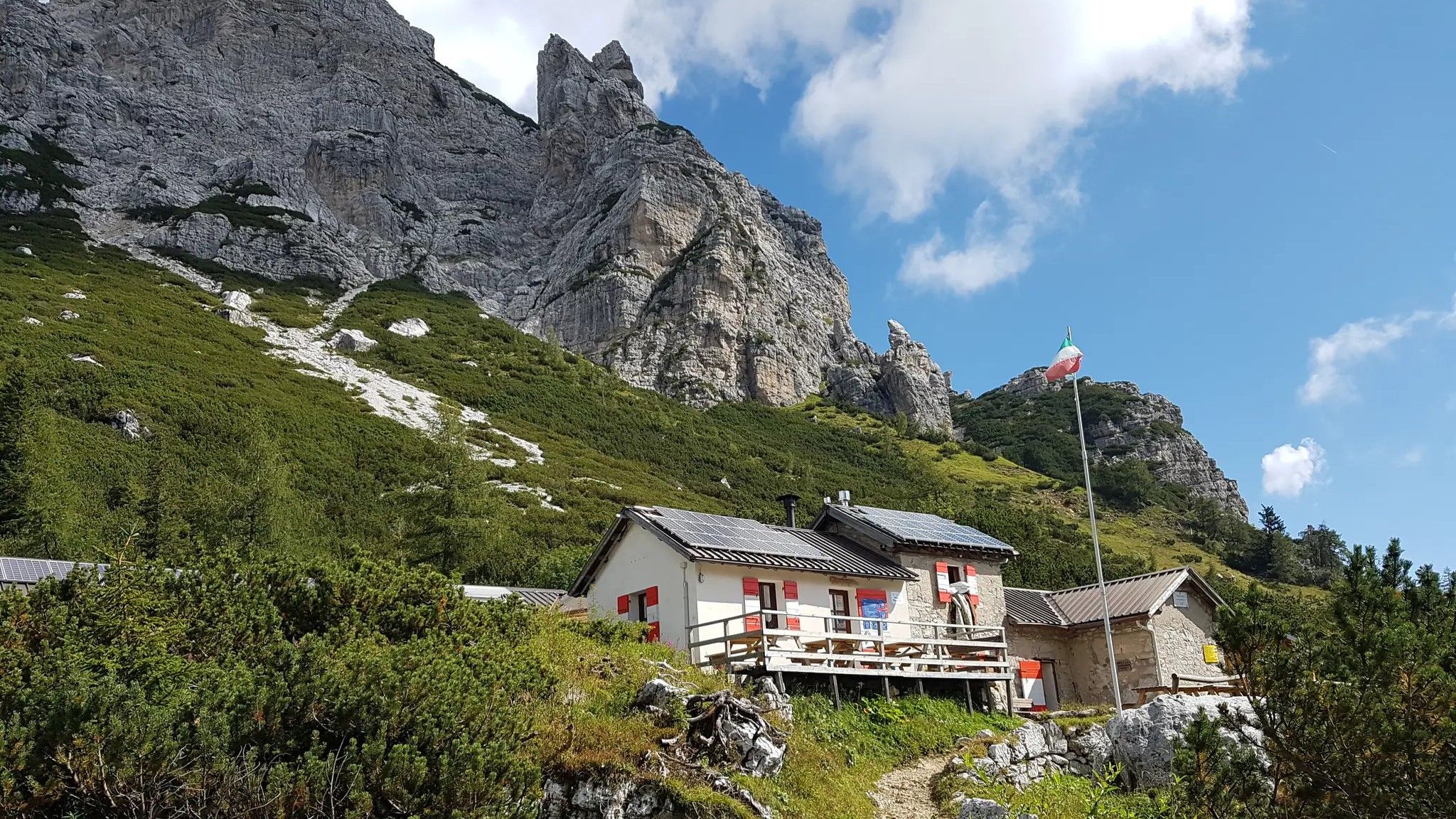
Alta Via Dolomiti Bellunesi – the wild Dolomiti Bellunesi National Park

Via Venezia Alpina – hiking across the Alps to the Adriatic Sea

The "Dream Path" hiking trail – From Munich to Venice in 28 stages
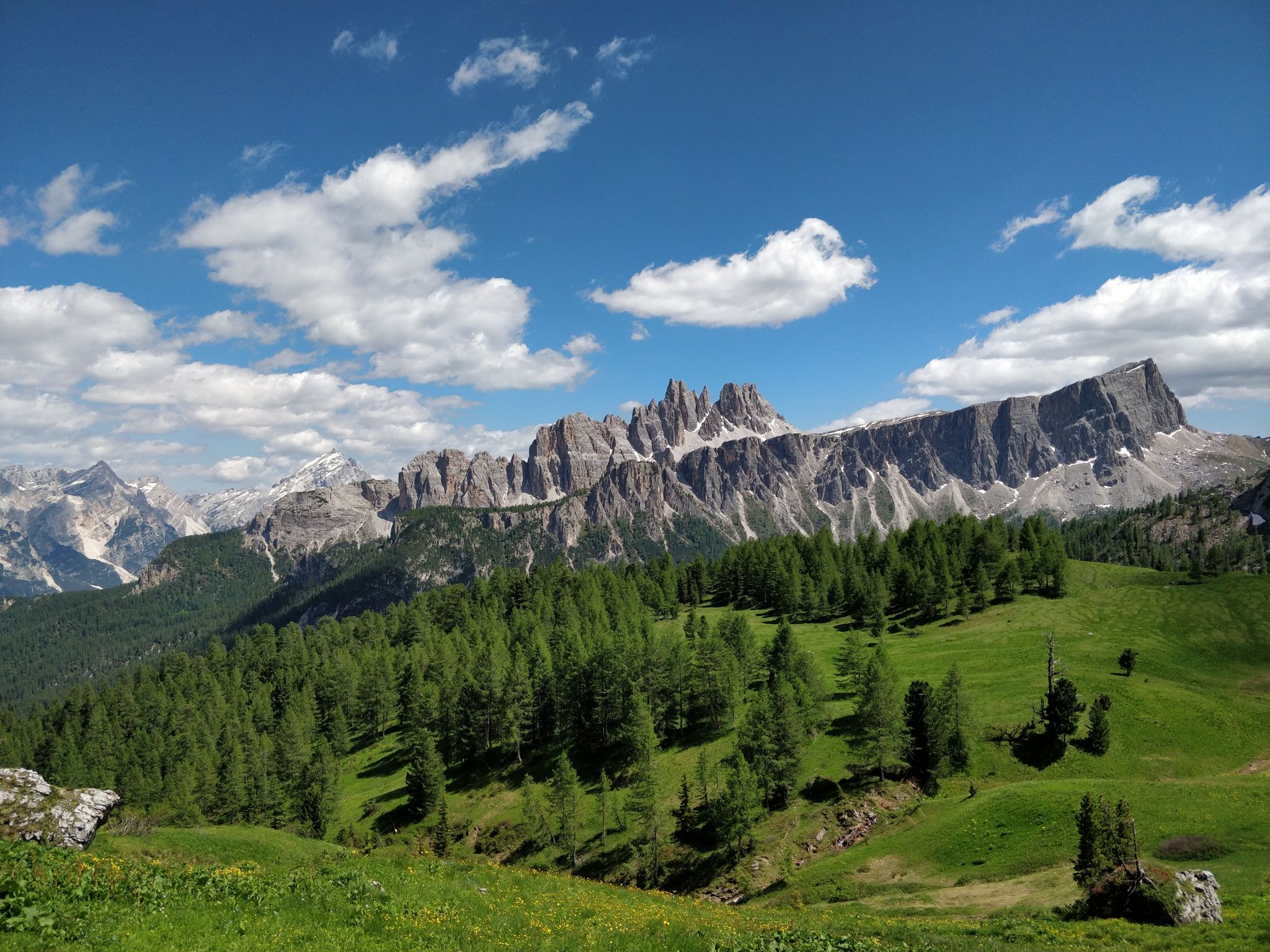
Hiking one step from heaven – Alta Via delle Dolomiti 1
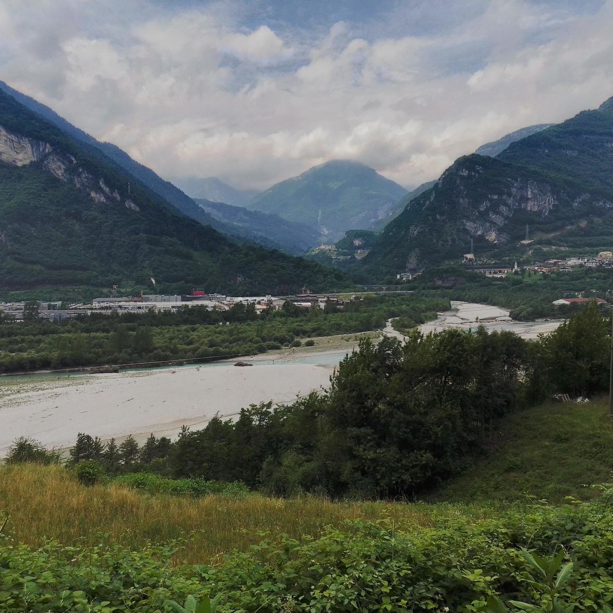
Hiking around Longarone
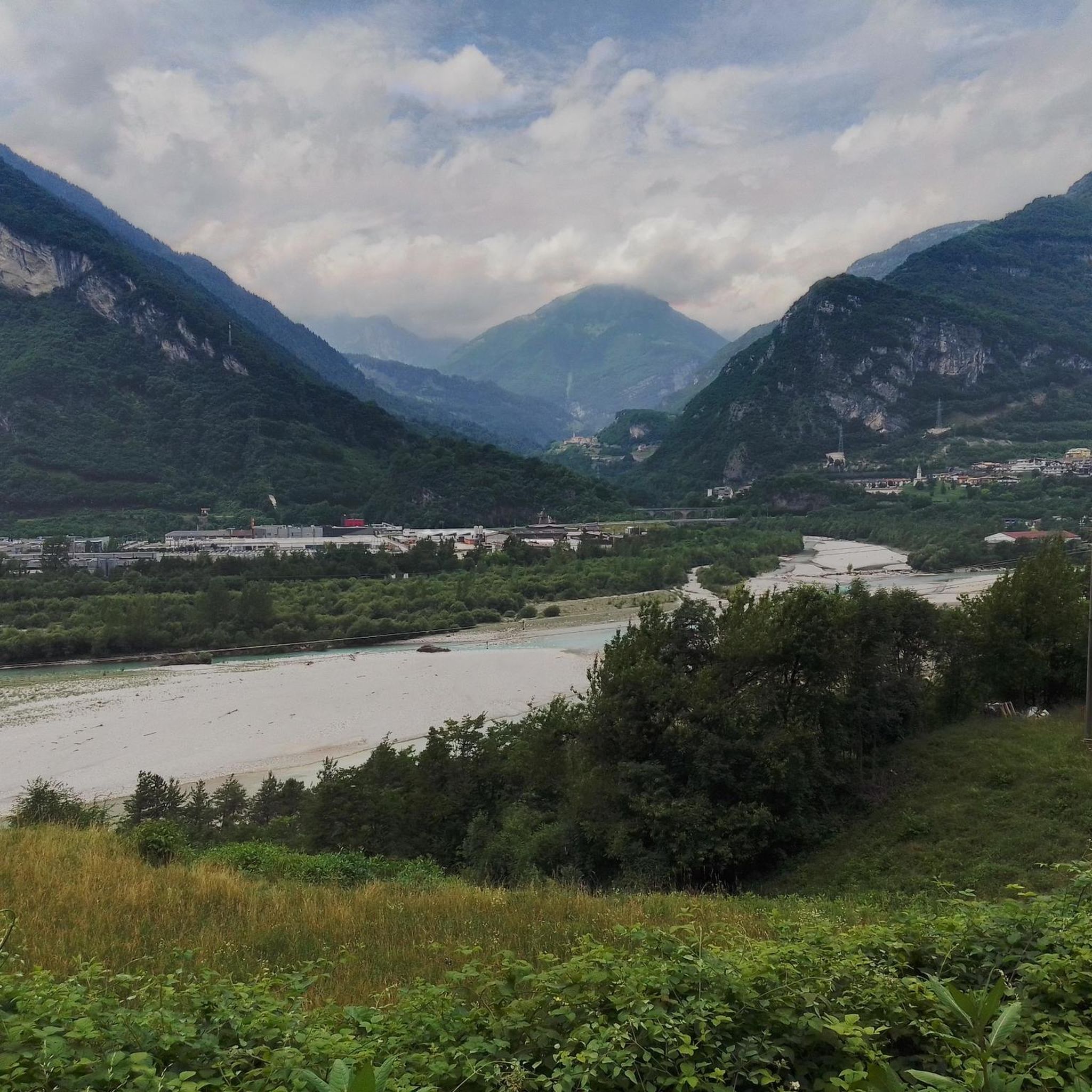
Cycling around Longarone
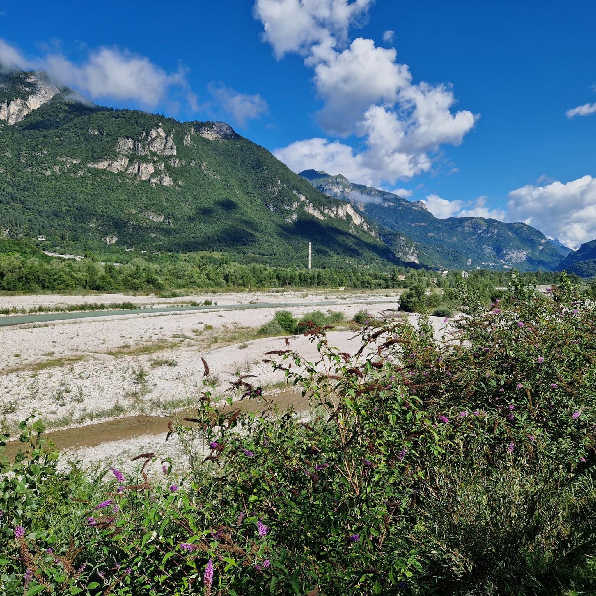
Road Cycling Routes around Longarone
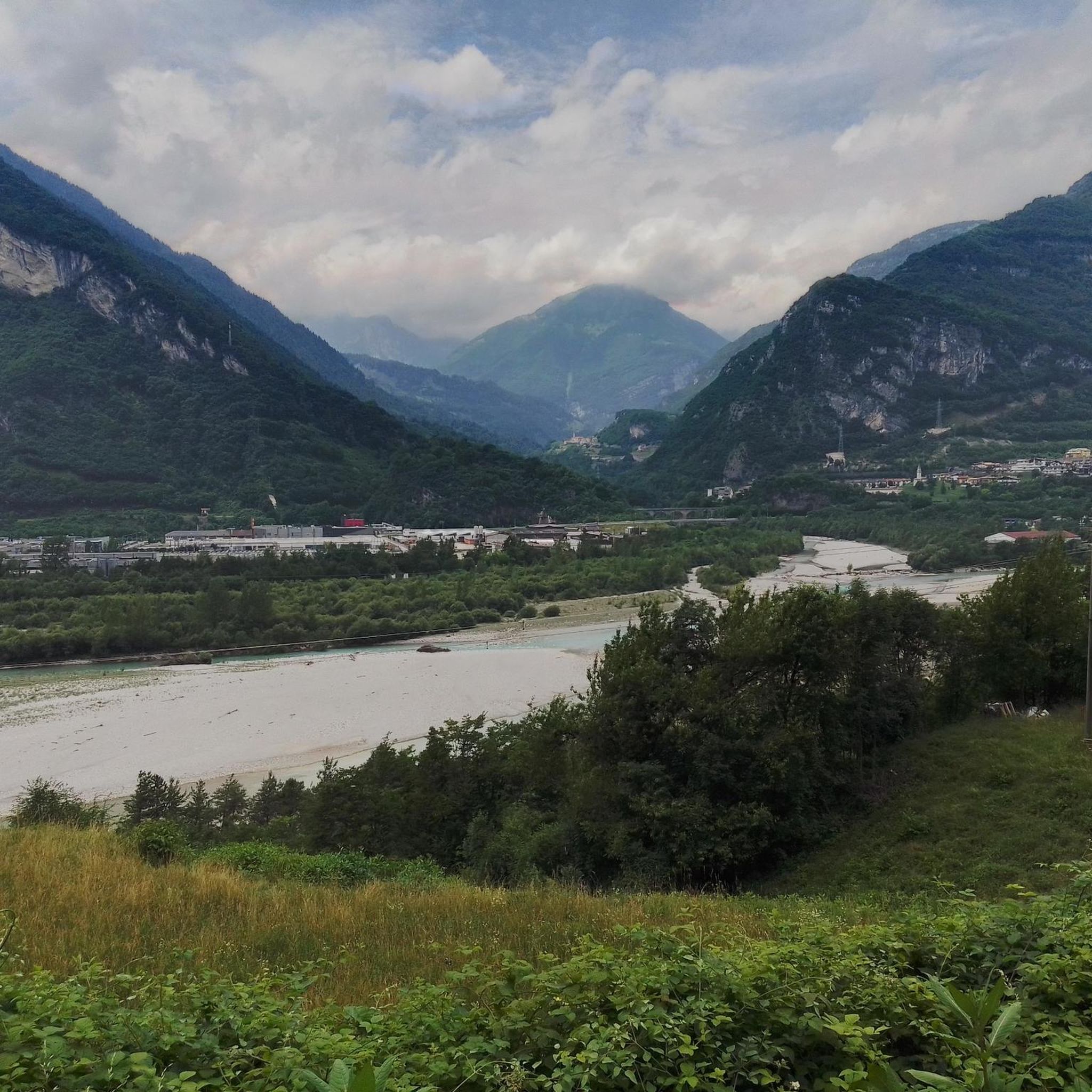
MTB Trails around Longarone

Gravel biking around Longarone

Mountain Hikes around Longarone
Other adventures around Longarone


Tips from the Community

Simply beautiful, absolutely worth it...
0
0

Church of Santa Maria Immacolata (Longarone).
0
0

Attention!!! Closed from Dogna August 25th to October 31st, 2025 The view of the dam is certainly beautiful, but it's better to drive towards Venice on the other side until you reach the next bridge.
0
0
Attention! The road from Dogna is closed from August 25th to October 31st. Today, our alternative was to drive along the other side of the river to Provagna, after having driven to the closure.
0
0
You don't have to cross the bridge, but can also follow the cycle path to the right from the direction of the Alps.
0
0

as you continue along the via ferrata you pass right above the tunnel and you can hear the cars passing by
2
1

The Vajont Dam, located in the valley of the same name in the province of Belluno, is one of the highest dams in Italy, with a height of 262 meters. Built between 1956 and 1960 for the production of hydroelectric energy, the dam blocked the Vajont River, creating an artificial basin. On October 9, 1963, the dam was involved in a tragedy: a huge landslide that broke away from Mount Toc slid into the basin, causing a wave that overwhelmed the dam and destroyed the town of Longarone, causing over 2,000 victims. Today, the Vajont Dam is a symbolic site of the tragedy, with a museum and a memorial to remember the victims and raise awareness of hydrogeological risk.
1
0

Stream that forms Lake Vajont.
13
0
Frequently Asked Questions
What kind of running routes can I expect around Longarone?
Longarone, nestled in the Piave Valley, offers a wide variety of running routes. You'll find everything from easy, mostly paved paths suitable for a casual jog to challenging mountain trails with significant elevation gain, especially as it serves as an 'open door' to the Belluno Dolomites National Park. The terrain includes riverside paths, rolling hills, and dense forests.
Are there any easy jogging routes suitable for beginners or families?
Yes, Longarone has several easy options. A great choice for a relaxed run is the Vajont Gorge and Waterfall loop from Longarone. This 4.9 km route is largely on paved surfaces, making it accessible for all skill levels and perfect for a family outing or a gentle jog.
Where can I find routes with significant elevation for a challenging run?
For those seeking a more demanding experience, Longarone offers several challenging routes. The Vajont Dam loop from Longarone-Zoldo is a difficult 22.8 km trail with over 1000 meters of elevation gain, requiring good fitness and sure-footedness. Another option is the Rifugio Cava Buscada loop from Casera di Conte, which is 14.2 km with over 800 meters of ascent.
Are there any running trails that feature waterfalls or scenic gorges?
Absolutely! The region is known for its natural beauty. You can explore the dramatic Vajont Gorge and enjoy a waterfall on the Malcolm Bridge over the Piave – Vajont Gorge and Waterfall loop from Longarone. This moderate 10.9 km route offers stunning views along the Piave River and through the gorge. The Pissandol Waterfall is also a notable scenic point in the area.
What are some natural features or landmarks I might see while running in Longarone?
Beyond the impressive Vajont Dam, you'll be running in the foothills of the Belluno Dolomites National Park, a UNESCO World Heritage site. Keep an eye out for the dense coniferous forests of the Cajada Forest, the serene Val de Grisol with its streams and potholes, and the panoramic views of the Piave Valley. You might also encounter historical sites like the Monte Celo World War I Bunker or the Bunker of the Mandre.
What do other runners say about the jogging routes in Longarone?
The running routes around Longarone are highly regarded by the komoot community, boasting an average rating of 4.2 stars from over 60 reviews. Runners often praise the diverse terrain, the breathtaking Dolomite mountain backdrops, and the variety of options available for different fitness levels, from riverside paths to challenging mountain trails.
Are there any circular running routes available?
Yes, many of the routes around Longarone are designed as loops, allowing you to start and finish in the same location. Examples include the challenging Vajont Dam loop from Longarone-Zoldo and the easier Vajont Gorge and Waterfall loop from Longarone. These circular paths are convenient for exploring the area.
What is the best time of year for jogging in Longarone?
Longarone offers great running conditions for much of the year. Spring and autumn provide pleasant temperatures and vibrant scenery, making them ideal. Summer can be warm, but higher elevation routes offer cooler air. Winter running is possible, especially on lower, paved paths, but some mountain trails may be affected by snow and ice, requiring appropriate gear and caution.
Are there any specific permits required for jogging on trails in the Belluno Dolomites National Park?
Generally, no specific permits are required for jogging on marked trails within the Belluno Dolomites National Park. However, it's always a good idea to check with local tourist information for any specific regulations, especially if you plan to venture off established paths or into protected areas. You can find more general information about the region at visitlongarone.it.
Can I find running routes that are accessible by public transport or have nearby parking?
Many routes in and around Longarone are accessible from the town center, which has public transport connections. For routes further afield, parking is generally available near trailheads, especially for popular spots like the Vajont Dam area. It's advisable to check specific route details on komoot for parking information or public transport options for your chosen starting point.
Are there any routes that offer views of the distant Apennine mountains?
Yes, the diverse terrain around Longarone, including its rolling hills and cultivated plateaus, provides panoramic views. On clear days, you can often enjoy distant vistas of the Apennine mountains, adding another layer of scenic beauty to your run through the Secchia Valley and surrounding areas.
Most popular routes around Longarone
Most popular attractions around Longarone

Get inspired with the komoot mobile app


Explore more
Browse the best Running Trails & Routes in other regions.
