The best mountain hikes around Longarone
4.8
(21)
136
hikers
13
hikes
Mountaineering routes around Longarone offer access to the majestic Dolomites and the Belluno Dolomites National Park, a UNESCO World Heritage Site. The terrain is characterized by dramatic peaks, secluded valleys like Val de Grisol with waterfalls, and dense woodlands such as the Cajada Forest. This region provides a diverse landscape for mountaineering, ranging from challenging ascents to routes through untouched natural environments.
Best mountaineering routes around Longarone
- The most popular mountaineering route is Mountaineering loop from Longarone, a 3.3…
Last updated: August 1, 2026
4.7
(6)
38
hikers
5.27km
02:41
410m
410m
Hard mountaineering route. Good fitness required. Sure-footedness, sturdy shoes and alpine experience required.
5.0
(1)
15
hikers
12.2km
05:43
1,150m
1,150m
Hard mountaineering route. Very good fitness required. Mostly accessible paths. Sure-footedness required.

Sign up for free
5.0
(1)
13
hikers
3.34km
01:40
230m
240m
Hard mountaineering route. Great for any fitness level. Sure-footedness, sturdy shoes and alpine experience required.
4.3
(3)
13
hikers
5.01km
01:39
220m
220m
Moderate mountaineering route. Great for any fitness level. Mostly accessible paths. Sure-footedness required.
8
hikers
12.6km
06:55
1,280m
1,300m
Hard mountaineering route. Very good fitness required. Sure-footedness, sturdy shoes and alpine experience required.
Get access to more routes and recommendations from other explorers.
Sign up for free
Already have an account?
Our route recommendations are based on thousands of hikes, rides, and runs completed by other people on komoot.
Start today with a free account
Your next adventure awaits.
Login or Signup
Popular around Longarone
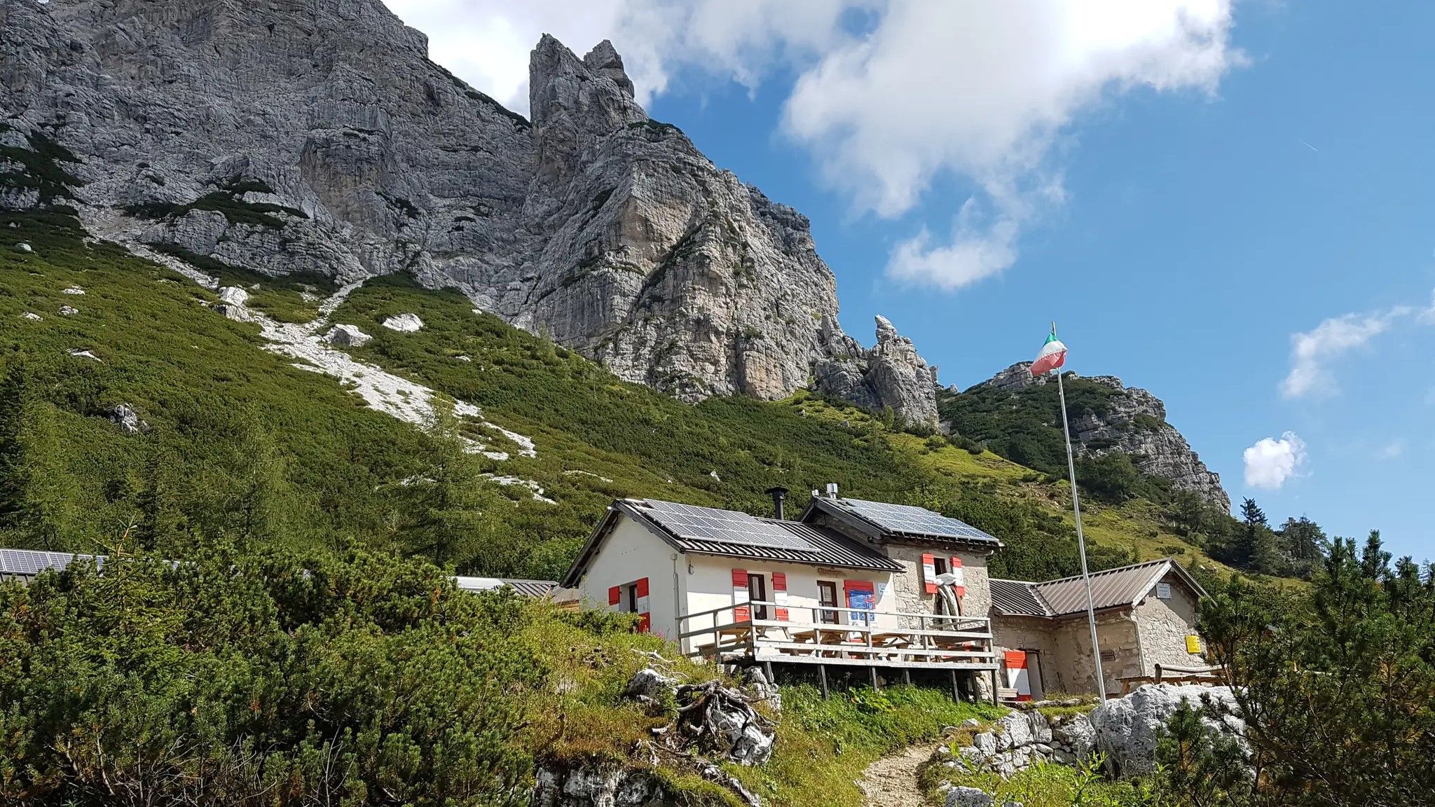
Alta Via Dolomiti Bellunesi – the wild Dolomiti Bellunesi National Park

Via Venezia Alpina – hiking across the Alps to the Adriatic Sea

The "Dream Path" hiking trail – From Munich to Venice in 28 stages
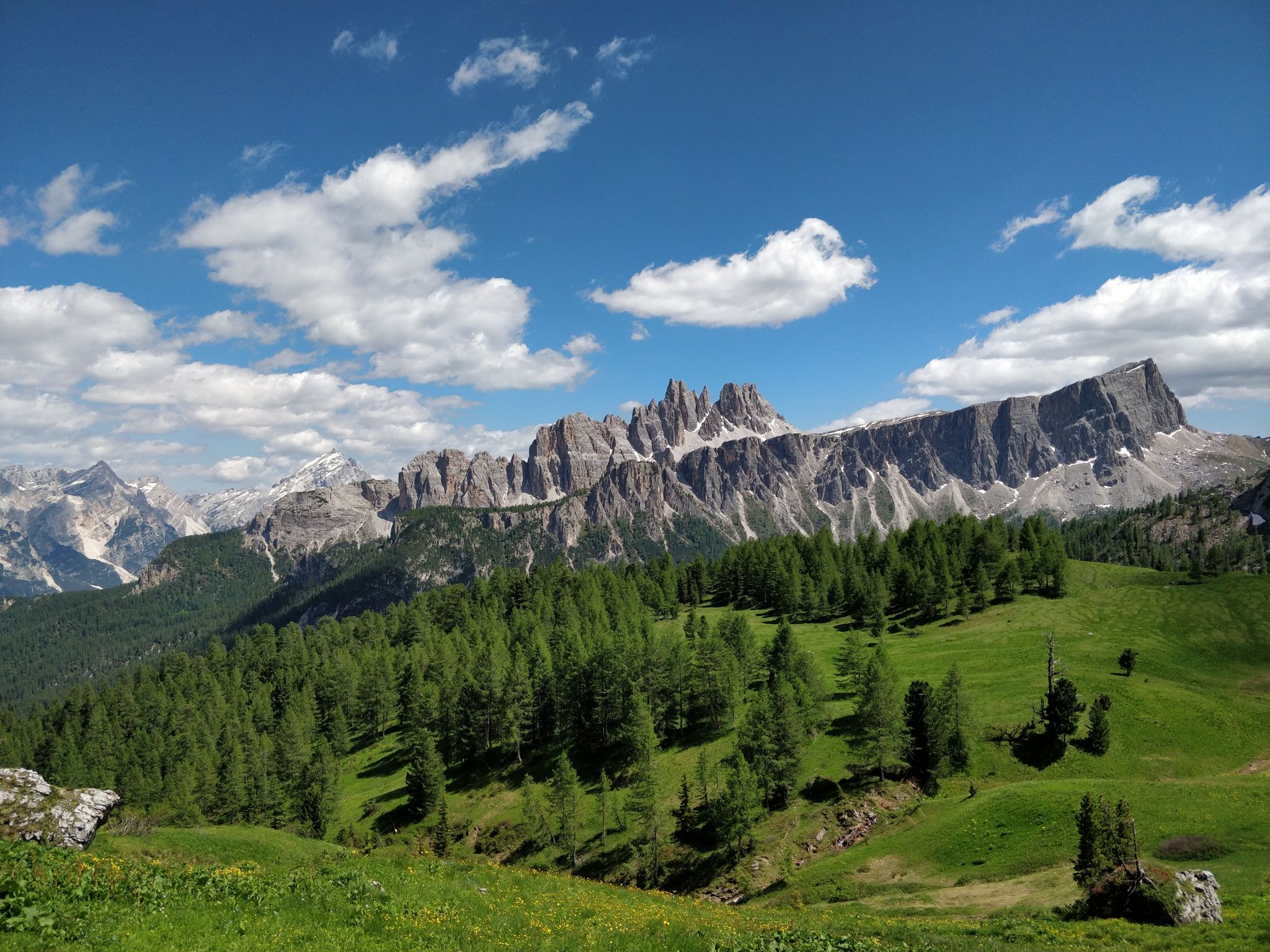
Hiking one step from heaven – Alta Via delle Dolomiti 1
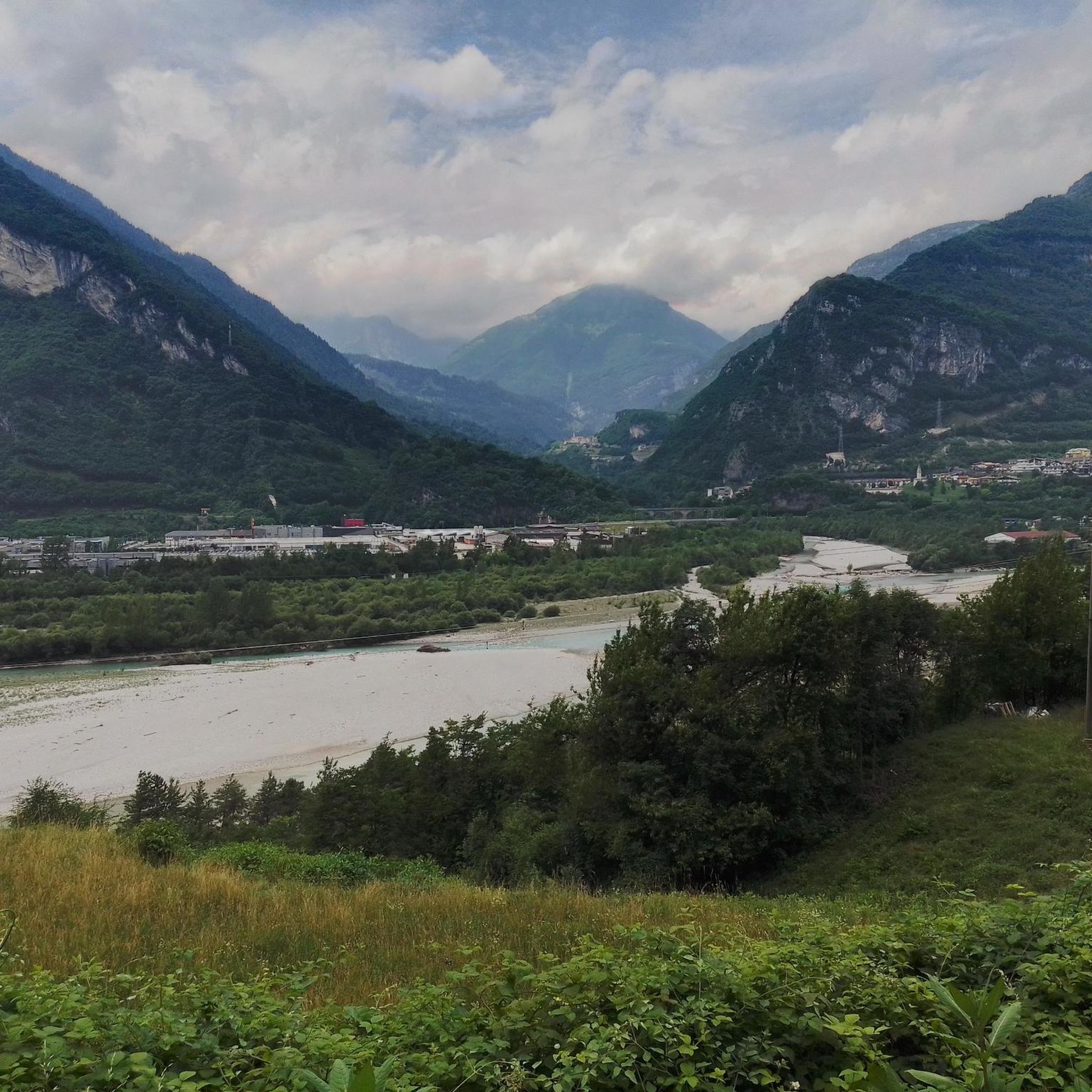
Hiking around Longarone
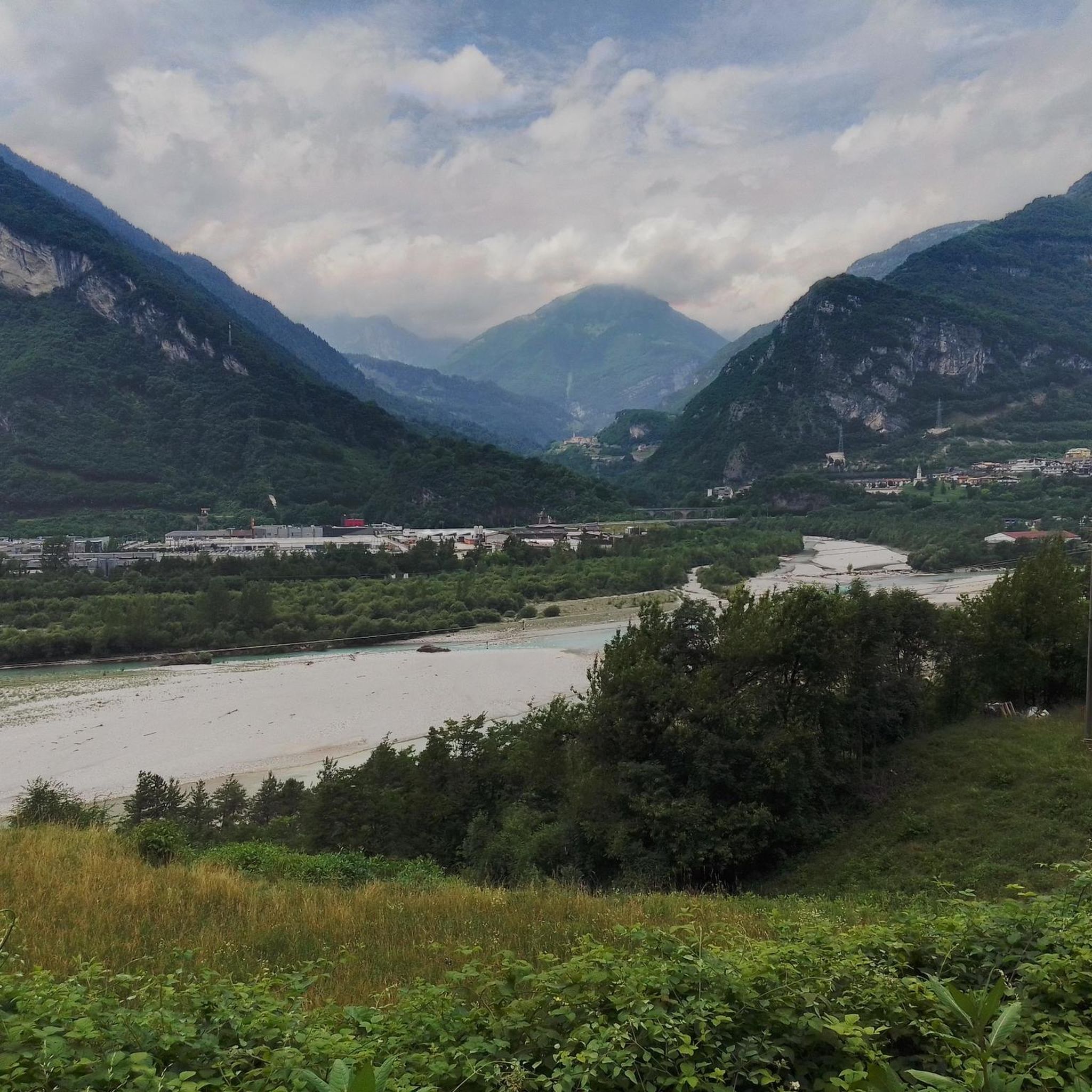
Cycling around Longarone
Road Cycling Routes around Longarone
MTB Trails around Longarone
Running Trails around Longarone

Gravel biking around Longarone
Other adventures around Longarone


Tips from the Community

The Vajont Dam Memorial and the connected "diffuse museum" constitute a solemn historical and civil itinerary dedicated to the disaster of October 9, 1963. The Vajont Dam is located in the municipality of Erto e Casso (PN), while the main centers of historical memory and exhibition develop in Longarone.
0
0

The Vajont Dam, located in the deep gorge between Friuli Venezia Giulia and Veneto, stands imposingly as a silent and monumental warning against human hubris. Having survived almost intact the catastrophic wave of October 9, 1963, caused by the landslide of Monte Toc, the structure is today a sacred place of collective memory. The dam's crest can be traversed through touching guided tours that allow you to walk close to the precipice, observing on one side the enormous landslide body and on the other the valley below of Longarone. Near the structure stands the Memorial, where a moving spread of colorful flags commemorates the children lost in the tragedy. The entire area, combined with the nearby Visitor Center of Erto and Casso, offers a historical and educational journey essential for understanding, remembering, and honoring the victims of the disaster.
0
0

Vajont is worth visiting, for the memory of the 1963 tragedy
0
0

A tragedy dictated by human greed.
13
0

The first section of the via ferrata is the most challenging. The rock is smooth, with few holds and grips, and is particularly slippery. The second section is more fun. Highly not recommended with wet rock.
0
0

as you continue along the via ferrata you pass right above the tunnel and you can hear the cars passing by
2
1

Beautiful tour with wonderful views and good paths.
0
0

The Carestiato Refuge (1,834 m) stands on the panoramic Còl dei Pass, at the base of the southern faces of the Moiazza. It was built after World War II thanks to a courageous initiative by the Agordina Section of the Italian Alpine Club (CAI). The project was largely supported by the Carestiato family, in memory of their young son Bruto (1921-1943), who died in the Civetta massif. Còl dei Pass, chosen for the refuge, was at that time accessible only by a path used by herds from the nearby mountain pasture: all the necessary materials were therefore carried on the shoulders of endless teams of volunteers who ascended from Passo Duràn. Later, the collaboration of the Alpine troops from the XXII Marzo 1848 Barracks, who intervened several times with their pack animal unit, proved providential. Only the framework was prepared by sourcing wood from the adjacent wooded area and transported to the hill via rudimentary cableways. Over the years, the refuge has undergone technical and structural modernizations to provide logistical assistance to its numerous hikers. The current access (trail 549) was completed in 1978 and subsequently expanded several times. A unique feature is the crossing of the enormous Val di Vie gravel flow, which often blocks the dirt road. The water intake for the refuge's aqueduct is located here, supplied by a modern pumping station. The old structure underwent a radical renovation in 2005-2006, bringing the refuge to a modern and efficient standard through the expansion and modernization of the sleeping accommodations, kitchen area, and outdoor terrace. These works began under the presidency of Giorgio Fontanive and were completed thanks to funding from the Veneto Region, along with funds acquired from the sale of the "Cesare Tomè" refuge at Passo Duràn. The Carestiato Refuge has 8 bedrooms, each with 4 bunk beds, and an additional 4 bedrooms in the annex at the back. From here, the view sweeps across the Agordina Valley and its surrounding mountains: Monte Célo, Monti del Sole, Vette Feltrine, and the Croda Granda-Agnèr mountain range. www.rifugiocarestiato.com
1
0
Frequently Asked Questions
How many mountaineering routes are available around Longarone?
There are nearly 20 mountaineering routes around Longarone, offering diverse experiences in the Dolomites and the Dolomiti Bellunesi National Park. These routes are generally considered difficult, with 15 out of 19 routes falling into this category.
What kind of terrain can I expect on mountaineering routes near Longarone?
Mountaineering routes near Longarone traverse dramatic Dolomite peaks, secluded valleys like Val de Grisol with its alternating waterfalls and potholes, and extensive protected forest areas such as the Cajada Forest. You'll encounter diverse landscapes, from challenging ascents to paths through untouched natural environments.
Are there any routes suitable for beginners or families?
The mountaineering routes listed for Longarone are predominantly difficult, with no easy routes and only a few moderate options. For families or beginners, it's advisable to seek out specific trails within the Dolomiti Bellunesi National Park that are explicitly marked as family-friendly or easier hikes, as the listed mountaineering routes are generally challenging.
Are there any circular mountaineering routes in the area?
Yes, several mountaineering routes around Longarone are circular. Examples include the Mountaineering loop from Longarone, the Col Cavalin – Monte Serva loop from Cargadór, and the Vajont Dam Memorial – Straßentunnel loop from Longarone. These loops allow you to start and end at the same point, offering varied scenery along the way.
What natural attractions or viewpoints can I see while mountaineering?
Many routes offer spectacular panoramas of the Dolomites. You can find stunning views from peaks like Mount Serva, often called "the mountain of Belluno." The Val de Grisol features fascinating corners carved by the Grisol stream, with waterfalls and potholes. The Cajada Forest also provides a magnificent natural amphitheater.
Can I bring my dog on the mountaineering trails?
While many trails in the Dolomites are dog-friendly, it's always best to check specific regulations for the Dolomiti Bellunesi National Park and individual routes. Ensure your dog is well-behaved, kept on a leash where required, and that you carry out all waste. Some protected areas may have restrictions on dogs to protect wildlife.
What is the best time of year for mountaineering in Longarone?
The best time for mountaineering in Longarone is typically from late spring to early autumn (May to October). During these months, the weather is generally more stable, snow has melted from higher elevations, and mountain huts are open. Always check current weather conditions and trail status before heading out, as conditions can change rapidly in the mountains.
Are there any specific permits required for mountaineering or climbing in the area?
For general mountaineering on marked trails, permits are typically not required. However, if you plan on rock climbing in specific areas like the Vajont Rock Gym or Grotte del Mis, or attempting advanced multi-day expeditions, it's advisable to check with local authorities or mountain guides for any specific permits or regulations, especially within the Dolomiti Bellunesi National Park.
How do other mountaineers rate the routes in Longarone?
The mountaineering routes in Longarone are highly rated by the komoot community, with an average score of 4.8 stars from nearly 30 reviews. Mountaineers often praise the dramatic Dolomite peaks and the direct experience of the local mountain environment.
What historical landmarks can be visited near the mountaineering routes?
A significant historical landmark near Longarone is the Vajont Dam. While a somber reminder of a past event, it offers guided tours and a visitor center. The immense landslide scar on Monte Toc is also visible from various viewing points, including along the Vajont Dam Memorial – Straßentunnel loop from Longarone.
How accessible are the mountaineering routes by public transport or car?
Longarone is a gateway to the Dolomites, and while some trailheads might be accessible by local buses, having a car generally offers more flexibility to reach various starting points. Parking availability varies by trailhead; it's recommended to research specific route access points in advance. For broader information on the region, you can visit visitlongarone.it.
Most popular routes around Longarone
Most popular attractions around Longarone

Get inspired with the komoot mobile app


Explore more
Browse the best Mountain Hikes & Routes in other regions.
