The best walks and hikes around Agordo
4.4
(324)
2,028
hikers
32
hikes
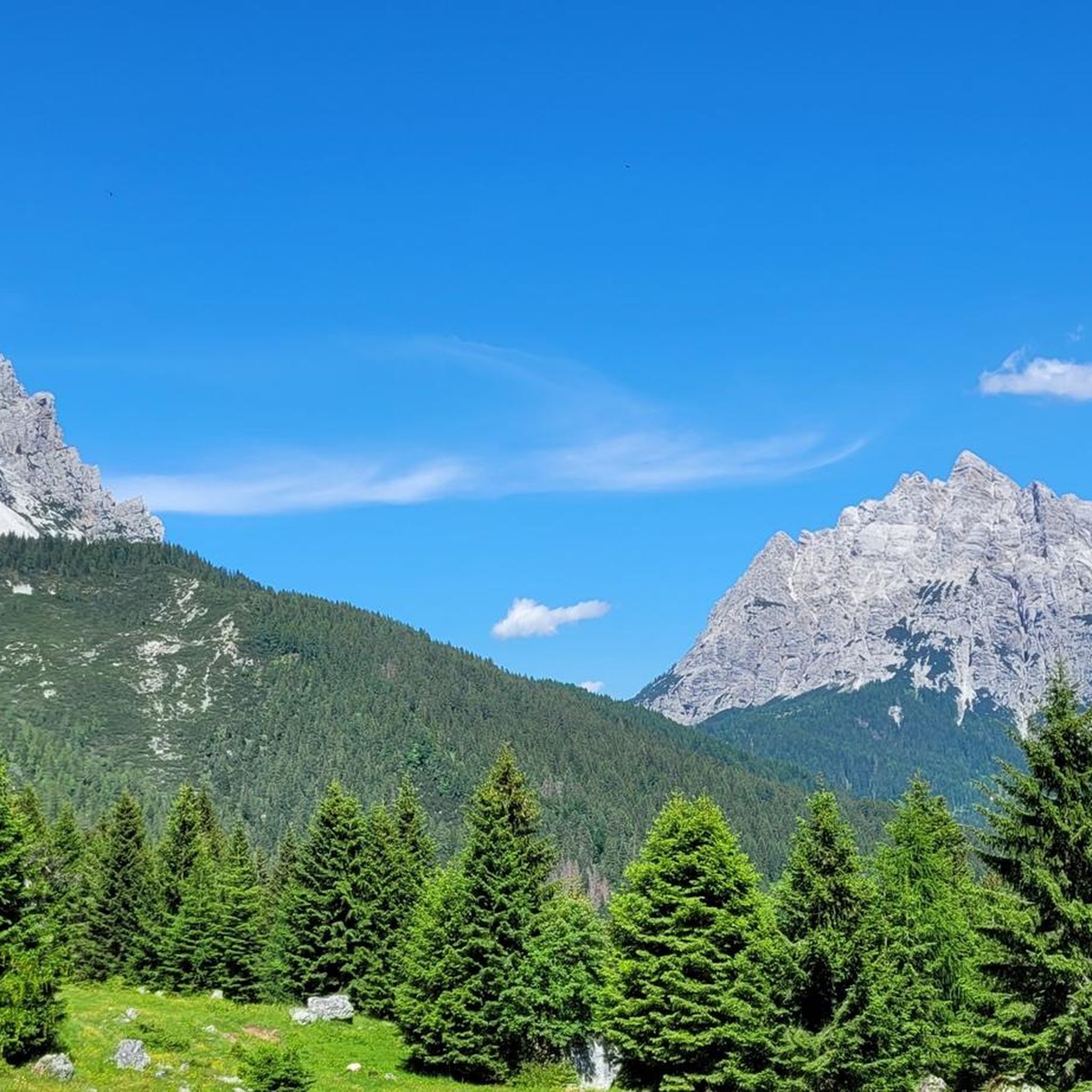
Hiking around Agordo offers access to the central Dolomites, a UNESCO World Natural Heritage Site. The region is characterized by imposing Dolomite peaks such as Framont, Moiazza, and the Agner Group, alongside remote valleys like Val Canali and Valle di Gares. An extensive network of paths and mule tracks provides varied terrain, from high alpine routes to trails along the Cordevole Stream. These features define the landscape for outdoor activities in Agordo.
Best hiking trails around Agordo
- The most popular…
Last updated: July 20, 2026
4.1
(13)
141
hikers
13.6km
06:15
1,180m
1,180m
Forest hike from mural-decorated Agordo to a sunny refuge with complete Dolomites UNESCO views.
4.6
(16)
51
hikers
8.35km
03:30
540m
560m
This difficult 5.2-mile hike to Rifugio Bruto Carestiato from Nele offers challenging terrain and panoramic views in the Belluno Dolomites.

Sign up for free
1.0
(1)
3
hikers
7.87km
03:15
650m
650m
Ancient mule track through Dolomites passes haunting ghost village of perfectly preserved stone houses.
4
hikers
6.67km
02:38
490m
490m
Quiet Dolomites trail beneath Moiazza's towering limestone walls, rarely visited by crowds.
3.0
(1)
2
hikers
6.17km
03:31
920m
930m
Tackle the Ferrata Gianni Costantini, an extremely difficult 3.8-mile via ferrata in the Dolomites with 3033 feet of gain.
Get access to more routes and recommendations from other explorers.
Sign up for free
Already have an account?
Our route recommendations are based on thousands of hikes, rides, and runs completed by other people on komoot.
Start today with a free account
Your next adventure awaits.
Login or Signup
Popular around Agordo

The "Dream Path" hiking trail – From Munich to Venice in 28 stages
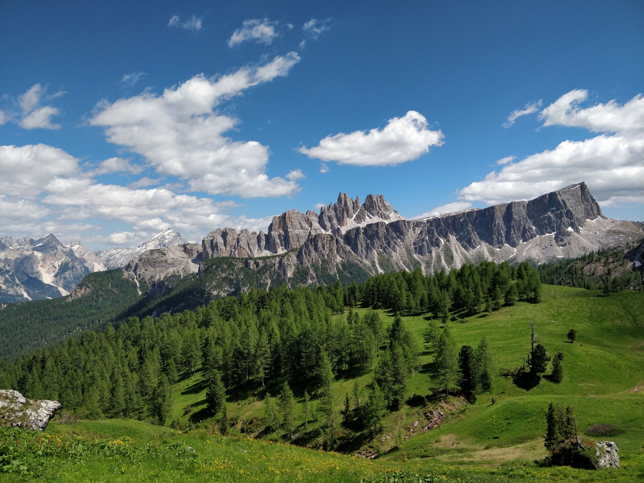
Hiking one step from heaven – Alta Via delle Dolomiti 1
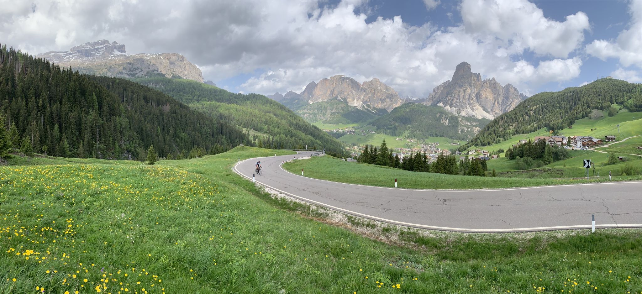
Up and down the Alps – Dolomites by road bike

Road Cycling Routes around Agordo
Cycling around Agordo
MTB Trails around Agordo

Mountain Hikes around Agordo
Running Trails around Agordo

Gravel biking around Agordo
Other adventures around Agordo


Tips from the Community

Beautiful tour with wonderful views and good paths.
0
0

The Carestiato Refuge (1,834 m) stands on the panoramic Còl dei Pass, at the base of the southern faces of the Moiazza. It was built after World War II thanks to a courageous initiative by the Agordina Section of the Italian Alpine Club (CAI). The project was largely supported by the Carestiato family, in memory of their young son Bruto (1921-1943), who died in the Civetta massif. Còl dei Pass, chosen for the refuge, was at that time accessible only by a path used by herds from the nearby mountain pasture: all the necessary materials were therefore carried on the shoulders of endless teams of volunteers who ascended from Passo Duràn. Later, the collaboration of the Alpine troops from the XXII Marzo 1848 Barracks, who intervened several times with their pack animal unit, proved providential. Only the framework was prepared by sourcing wood from the adjacent wooded area and transported to the hill via rudimentary cableways. Over the years, the refuge has undergone technical and structural modernizations to provide logistical assistance to its numerous hikers. The current access (trail 549) was completed in 1978 and subsequently expanded several times. A unique feature is the crossing of the enormous Val di Vie gravel flow, which often blocks the dirt road. The water intake for the refuge's aqueduct is located here, supplied by a modern pumping station. The old structure underwent a radical renovation in 2005-2006, bringing the refuge to a modern and efficient standard through the expansion and modernization of the sleeping accommodations, kitchen area, and outdoor terrace. These works began under the presidency of Giorgio Fontanive and were completed thanks to funding from the Veneto Region, along with funds acquired from the sale of the "Cesare Tomè" refuge at Passo Duràn. The Carestiato Refuge has 8 bedrooms, each with 4 bunk beds, and an additional 4 bedrooms in the annex at the back. From here, the view sweeps across the Agordina Valley and its surrounding mountains: Monte Célo, Monti del Sole, Vette Feltrine, and the Croda Granda-Agnèr mountain range. www.rifugiocarestiato.com
1
0

graffiti focused on the themes of peasant life, childhood and the inhabitants of the hamlets (Parech, Toccol, Prompicai)
0
0

Be careful, very slippery and wet in summer because of the nearby stream.
0
0


The now uninhabited village of Dugon. Beautiful and in any case always looked after by the owners of the buildings. It is located along the CAI 547 path that goes up towards Binatega and the Carestiato refuge.
0
0

Delicious food and a great place to stay.
0
1
At the foot of the Moiazza, the Carestiato refuge owned by the CAI Agordo section is an excellent point of arrival or passage for hikers but also for cyclists thanks to the convenient forestry road that winds from the provincial road of the Duran pass.
0
0
Frequently Asked Questions
How many hiking trails are available around Agordo?
Agordo offers a diverse network of over 30 hiking routes, catering to various skill levels. You'll find everything from moderate valley walks to challenging alpine ascents amidst the Dolomite peaks.
What is the best time of year to go hiking in Agordo?
The ideal time for hiking in Agordo is typically from late spring to early autumn, specifically June to September. During these months, the weather is mild, trails are generally clear of snow, and the alpine meadows are in full bloom, offering breathtaking scenery.
Are there any easy or family-friendly hikes in Agordo?
Yes, Agordo provides options for less strenuous walks. While many routes are moderate to difficult, you can find easier paths, particularly in the valleys. For instance, the Valle di San Lucano offers an easy trail leading to the Cascate Inferno waterfalls, perfect for a family outing.
What kind of natural features and landmarks can I expect to see on hikes around Agordo?
Hiking around Agordo immerses you in stunning Dolomite landscapes. You'll encounter majestic peaks like Framont, Moiazza, and the Agner Group, as well as picturesque valleys such as Val Canali and Valle di Gares. Notable attractions include the glacial Col dei Baldi, offering panoramic views, and the Val Imperina Mining Center, an open-air museum providing an educational outdoor experience.
Are there any circular hiking routes in the Agordo area?
Yes, there are circular routes available. For example, the Rifugio Bruto Carestiato Loop Trail is a challenging 8.3 km path that offers stunning views of the surrounding Dolomite peaks and valleys, bringing you back to your starting point.
Can I find mountain huts or refuges along the trails in Agordo?
Absolutely. The Agordo region is dotted with welcoming mountain huts that offer rest and spectacular views. The Adolfo Sonino Mountain Hut at Coldai provides splendid vistas of Val Zoldana and peaks like Monte Pelmo, while Attilio Tissi Hut offers panoramic views of Lake Alleghe and Mount Civetta. These are great spots to refuel or even stay overnight.
What do other hikers say about the trails in Agordo?
The hiking trails in Agordo are highly regarded by the komoot community, boasting an average rating of 4.4 stars from over 300 reviews. Hikers frequently praise the diverse terrain, from high alpine routes to serene valley paths, and the breathtaking Dolomite scenery.
Are there any historical sites or unique cultural experiences along the hiking routes?
Yes, Agordo offers a blend of natural beauty and historical interest. You can explore the Ancient mule track to Dugon ghost village (via CAI 547), a moderate 7.9 km trail that leads through historical landscapes. Additionally, the Agordo Geologic Path is a recently developed ring route connecting the town center with the Alta Via delle Dolomiti 1, offering cultural and natural exploration.
Are there any challenging hikes for experienced trekkers in Agordo?
For experienced hikers seeking a challenge, Agordo has several difficult routes. The From Agordo to Rifugio Bruto Carestiato (via CAI Path 548) is a demanding 13.6 km trail with significant elevation gain, ascending through varied terrain towards a mountain hut. Another option is the Ferrata Gianni Costantini, a difficult 6.1 km route for those looking for a more technical ascent.
What are the options for public transport to reach hiking trailheads from Agordo?
Agordo serves as a central point, and while specific bus routes to every trailhead vary, local bus services connect the town to surrounding villages and some popular starting points. It's advisable to check local bus schedules for connections to areas like Val di San Lucano or other key access points for the Dolomite trails.
Are there any long-distance trails that pass through or start in Agordo?
Yes, Agordo is strategically located along significant long-distance routes. It serves as a starting point or lies along famous trails such as the Alta Via delle Dolomiti 1 and the extensive "Dream Path" from Munich to Venice, which spans over 550 km. The Cammino delle Dolomiti - Stage 08 is one such segment that passes through the area.
Are there any specific regulations for hiking with dogs in the Agordo Dolomites?
While the Dolomites are generally dog-friendly, specific regulations can vary by protected area or private land. It's always recommended to keep dogs on a leash, especially in areas with livestock or wildlife, and to clean up after them. Check local signage or inquire at tourist information centers for any specific rules pertaining to certain trails or natural parks within the Agordo region.
Most popular attractions around Agordo

Get inspired with the komoot mobile app


Explore more
Browse the best Hikes in other regions.
