The best mountain hikes around Sagron Mis
4.9
(19)
213
hikers
15
hikes
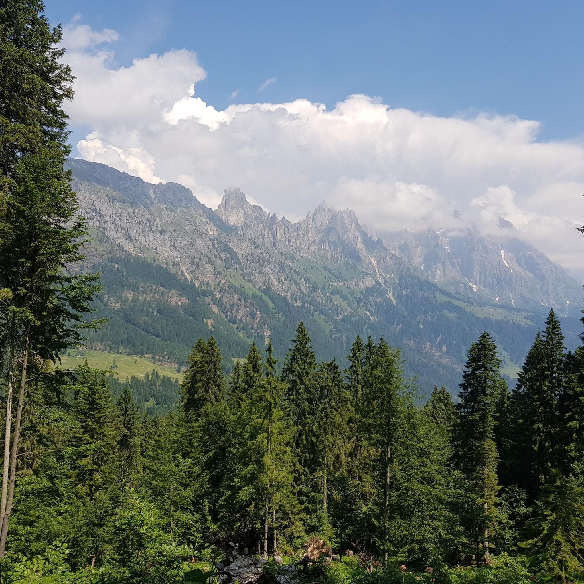
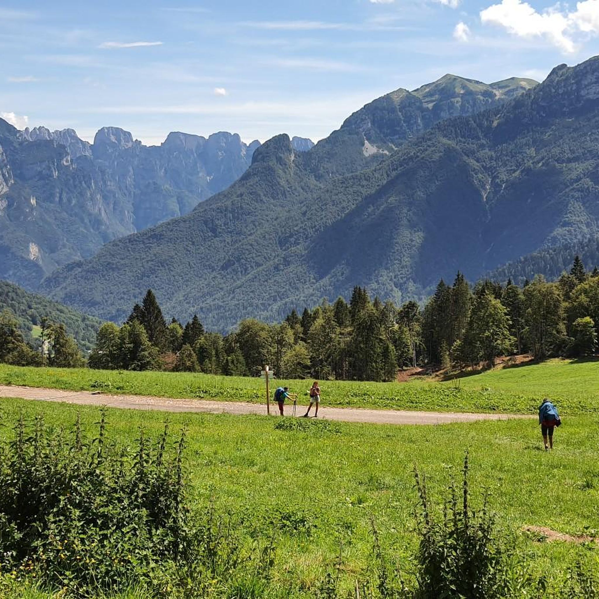
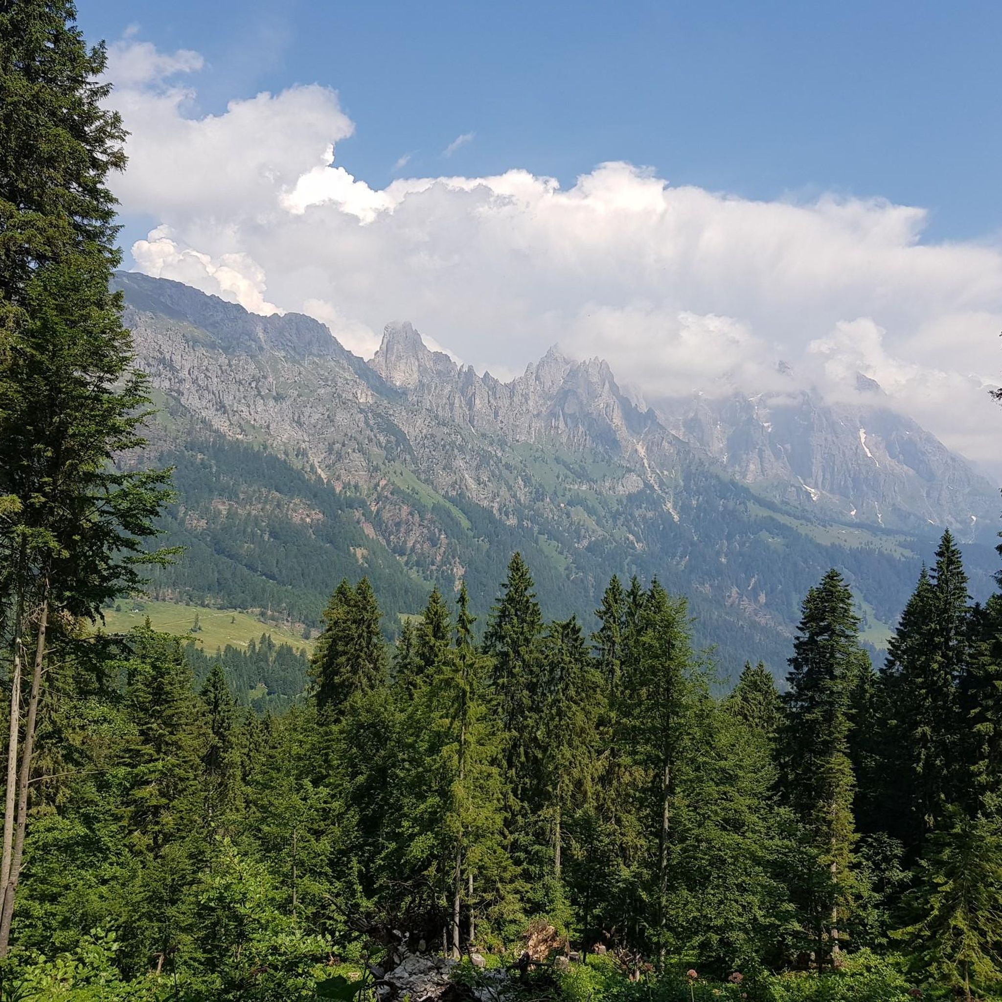
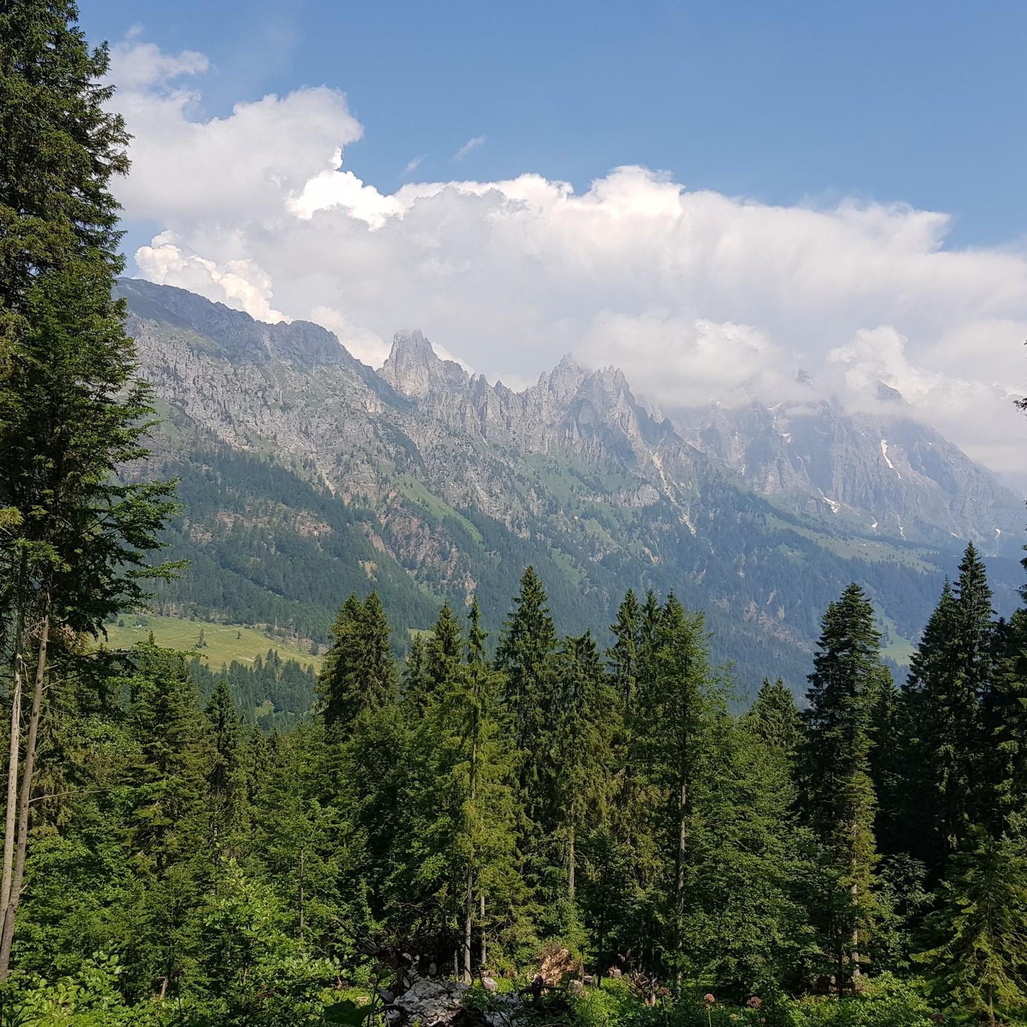
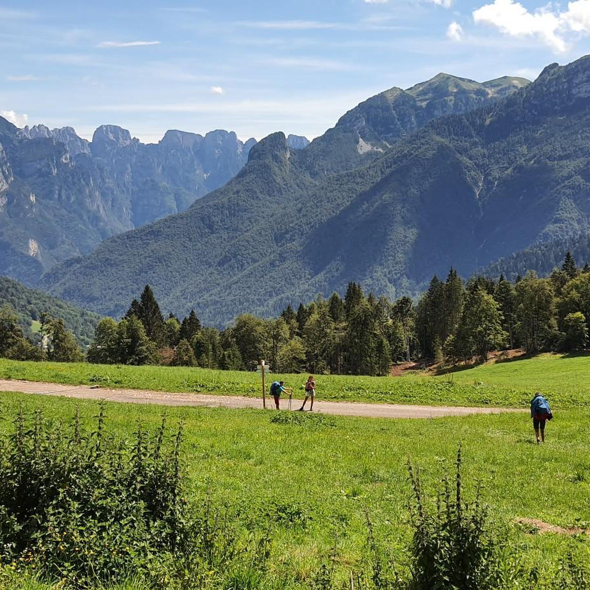
Mountaineering routes around Sagron Mis are set within the dramatic Dolomite landscapes of Trentino, situated between the Paneveggio-Pale di San Martino Nature Park and the Parco Nazionale delle Dolomiti Bellunesi. The region features an unusual variety of mountain shapes, including spires, pinnacles, and towers, alongside ridges and plateaus, all formed by significant geological processes. Valleys embraced by forests are crisscrossed by streams and waterfalls, offering a diverse environment for alpine exploration.
Best mountaineering routes around Sagron Mis
- The most popular mountaineering route is Rifugio Pradidali loop from Tonadico, a 6.8 miles (11.0 km) trail that takes 6 hours 10 minutes to complete. This challenging route offers significant elevation gain through the rugged Pale di San Martino group.
- Another top favourite among local mountaineers is Velo della Madonna Hut – Ferrata della Vecia loop from San Martino di Castrozza, a difficult 7.9 miles (12.7 km) path. This route provides access to high alpine terrain and impressive Dolomite formations.
- Local mountaineers also love the Rifugio Rosetta Pedrotti – Passo Pradidali Basso (2658 m) loop from Pale di San Martino, a 6.8 miles (10.9 km) trail leading through the high mountain passes of the Pale di San Martino, often completed in about 4 hours 27 minutes.
- Mountaineering around Sagron Mis is defined by dramatic Dolomite peaks, deep forested valleys, and challenging high-alpine passes. The extensive network offers options for experienced mountaineers seeking demanding ascents and multi-day expeditions.
- The routes in Sagron Mis are highly rated by the komoot community with an average score of 4.8 stars from over 20 reviews. More than 200 mountaineers have used komoot to explore Sagron Mis's varied terrain.
Last updated: July 18, 2026
30
hikers
11.4km
06:13
1,060m
1,060m
Hard mountaineering route. Very good fitness required. Sure-footedness, sturdy shoes and alpine experience required.
5.0
(1)
20
hikers
12.7km
06:12
1,180m
1,180m
Hard mountaineering route. Very good fitness required. Sure-footedness, sturdy shoes and alpine experience required.

Sign up for free
5.0
(2)
17
hikers
Hard mountaineering route. Good fitness required. Sure-footedness, sturdy shoes and alpine experience required.
4.0
(1)
9
hikers
10.8km
05:10
700m
700m
Hard mountaineering route. Very good fitness required. Sure-footedness, sturdy shoes and alpine experience required.
5.0
(3)
14
hikers
7.75km
04:50
760m
760m
Hard mountaineering route. Good fitness required. Sure-footedness, sturdy shoes and alpine experience required.
Get access to more routes and recommendations from other explorers.
Sign up for free
Already have an account?
Our route recommendations are based on thousands of hikes, rides, and runs completed by other people on komoot.
Start today with a free account
Your next adventure awaits.
Login or Signup
Tips from the Community

I was a bit disappointed with the food at the Rifugio Pradidali: - small bowl of minestrone, €10 (4 spoonfuls) - potatoes and eggs, €14 (tiny plate, about 2 bites) - bread basket, €2.50 - large bottle of water, €5 Total €31.50 If a family of four has to spend almost €130 to eat at the refuge, the mountains are only for the rich. I'm all for "supporting" refuges, but with high prices and ridiculous portions, I understand those who bring their own sandwiches. And I don't expect to find gourmet dishes, much less trucker-sized portions at a trattoria. PS: It's in a stunning location, and the staff is very kind and friendly.
3
0

The Rifugio Velo della Madonna is located in the heart of the Pale di San Martino. It is a starting point for excursions and mountaineering routes, including the famous "Spigolo del Velo" route. The refuge offers hospitality with beds and a restaurant service, offering typical dishes of the local cuisine. It is open during the summer season, for more information: https://www.rifugiovelodellamadonna.it/
1
0

The summit of Vezzana, or more simply Vezzana, is the highest mountain of the Pale di San Martino (3,192 m above sea level) and is located on the border between the municipal territory of Canale d'Agordo and Primiero San Martino di Castrozza.
0
0

last stage on a towering height
0
0

Superb alpine excursion from the cant del gal to the legendary Pradidali refuge
1
0

especially in winter it is advisable to stay on the pre-summit, without risking avalanches by crossing the snow cornices to reach the real summit
1
0

La Vezzana, at 3192 meters, is the highest peak of the Pale di San Martino massif. Crowned by the statue of a virgin and a cross, it offers an infinite panoramic view of a sea of rocks. It's impossible to count the number of peaks seen from here, so take a few minutes to commit it to your memory.
2
2

Lunar scenery at the highest point accessible by MTB in the Dolomites. https://youtu.be/NpcIJShAvHw
1
0
Frequently Asked Questions
How many mountaineering routes are available in Sagron Mis?
Sagron Mis offers a diverse range of mountaineering opportunities, with 18 routes documented on komoot. The majority, 15 routes, are classified as difficult, with 2 moderate and 1 easy option.
Are there any easy mountaineering routes suitable for beginners in Sagron Mis?
While most mountaineering routes in Sagron Mis are challenging, there is at least one route classified as easy. For those new to mountaineering, it's advisable to start with this option and consider guided tours or routes with minimal technical difficulty.
What kind of natural features and viewpoints can I expect on mountaineering routes in Sagron Mis?
Mountaineering in Sagron Mis offers breathtaking views of the Dolomites, including the majestic Pale di San Martino and the Cimonega Group. You'll encounter dramatic Dolomite spires, pinnacles, and towers, alongside forested valleys, streams, and waterfalls. The region is an ideal crossroads between the Paneveggio-Pale di San Martino Nature Park and the Dolomiti Bellunesi National Park, ensuring spectacular natural scenery throughout your journey.
Are there any circular mountaineering routes in Sagron Mis?
Yes, several circular routes are available. An example is the Rifugio Pradidali loop from Tonadico, which is a challenging 6.8-mile (11.0 km) trail. Another option is the Rifugio Rosetta Pedrotti – Passo Pradidali Basso (2658 m) loop from Pale di San Martino, covering 6.8 miles (10.9 km) through high mountain passes.
What are some notable attractions or landmarks along the mountaineering routes?
Along your mountaineering adventures, you might encounter several points of interest. The Rifugio Rosetta Pedrotti and Treviso Hut in Val Canali serve as important stops. You can also explore natural highlights like Lake del Mis or Lake Calaita. For a unique experience, the Val Falcina Nature Trail offers insights into local geology and flora.
What do other mountaineers say about the routes in Sagron Mis?
The mountaineering routes in Sagron Mis are highly regarded by the komoot community, boasting an average rating of 4.8 stars from over 20 reviews. Mountaineers frequently praise the dramatic Dolomite peaks, the challenging high-alpine passes, and the diverse environment for alpine exploration.
Is Sagron Mis suitable for family-friendly mountaineering?
While many routes are challenging, the region does offer some easier trails. For families, consider exploring interpretive paths like the "Intrecci del tempo" or the Val Falcina Nature Trail, which provide easier loops through wild environments and insights into local history and nature. Always check the difficulty and length of a route before setting out with family.
Are dogs allowed on the mountaineering trails in Sagron Mis?
The Paneveggio-Pale di San Martino Nature Park and the Dolomiti Bellunesi National Park, which encompass Sagron Mis, generally have regulations regarding dogs. It's best to check specific park rules or local signage for each trail, as some areas may require dogs to be on a leash or might restrict access to protect wildlife.
What is the best time of year for mountaineering in Sagron Mis?
The best time for mountaineering in Sagron Mis is typically from late spring to early autumn (June to September) when the weather is most stable, and trails are clear of snow. During these months, you'll experience pleasant temperatures and optimal conditions for exploring the high-alpine terrain. Always check local weather forecasts and trail conditions before your trip.
Are there options for public transport to reach trailheads in Sagron Mis?
Sagron Mis is nestled in a more secluded part of the Dolomites. While public transport options exist within the Trentino region, direct access to all trailheads might be limited. It's advisable to research local bus schedules or consider a combination of public transport and local taxi services to reach specific starting points for your mountaineering routes. For general information about the region, you can visit visittrentino.info.
Are there any specific permits required for mountaineering in the nature parks around Sagron Mis?
Generally, permits are not required for hiking or mountaineering on marked trails within the Paneveggio-Pale di San Martino Nature Park and the Dolomiti Bellunesi National Park. However, certain activities, such as camping outside designated areas or specific climbing routes, might require authorization. It's always a good practice to consult the official websites of the respective nature parks for the most up-to-date regulations before your visit.
Most popular routes around Sagron Mis
Most popular attractions around Sagron Mis

Get inspired with the komoot mobile app


Explore more
Browse the best Mountain Hikes & Routes in other regions.
