The best road cycling routes around Campo San Martino
4.4
(81)
3,650
riders
102
rides
Road cycling routes around Campo San Martino are primarily characterized by the flat terrain of the Province of Padua, situated near the Brenta River. This area features a network of waterways, irrigation canals, and extensive forage fields, providing a consistent landscape for cycling. The region's topography is generally low-lying, with minimal elevation changes, making it suitable for various road cycling experiences.
Best road cycling routes around Campo San Martino
- The most popular road cycling route is View of the Raposso…
Last updated: May 16, 2026
63
riders
Moderate road ride. Good fitness required. Mostly well-paved surfaces and easy to ride.
60
riders
65.1km
02:58
570m
570m
Moderate road ride. Good fitness required. Some segments of this route may be unpaved and difficult to ride.

Sign up for free
34
riders
Moderate road ride. Great for any fitness level. Some segments of this route may be unpaved and difficult to ride.
17
riders
Moderate road ride. Great for any fitness level. Some segments of this route may be unpaved and difficult to ride.
8
riders
92.7km
03:45
370m
370m
Moderate road ride. Good fitness required. Some segments of this route may be unpaved and difficult to ride.
Get access to more routes and recommendations from other explorers.
Sign up for free
Already have an account?
Our route recommendations are based on thousands of hikes, rides, and runs completed by other people on komoot.
Start today with a free account
Your next adventure awaits.
Login or Signup

Tips from the Community

The former Cocche station is located along the route of the Treviso-Ostiglia, the historic military railway, now transformed into one of the most spectacular cycle paths in the Veneto region. Situated in the territory of Vigasio, in the province of Verona, this station represented a fundamental rural hub for the transport of goods and people in the lower Veronese area. Today, the station building is an iconic stop for those travelling along the cycle path. The building retains the sober and functional style typical of early 20th-century railway infrastructure, immersed in the silence of the countryside. Its position along the green corridor of the Treviso-Ostiglia makes it a landmark for cycle tourists crossing the plain, offering a nostalgic glimpse of what was once called "the unfinished railway".
0
0

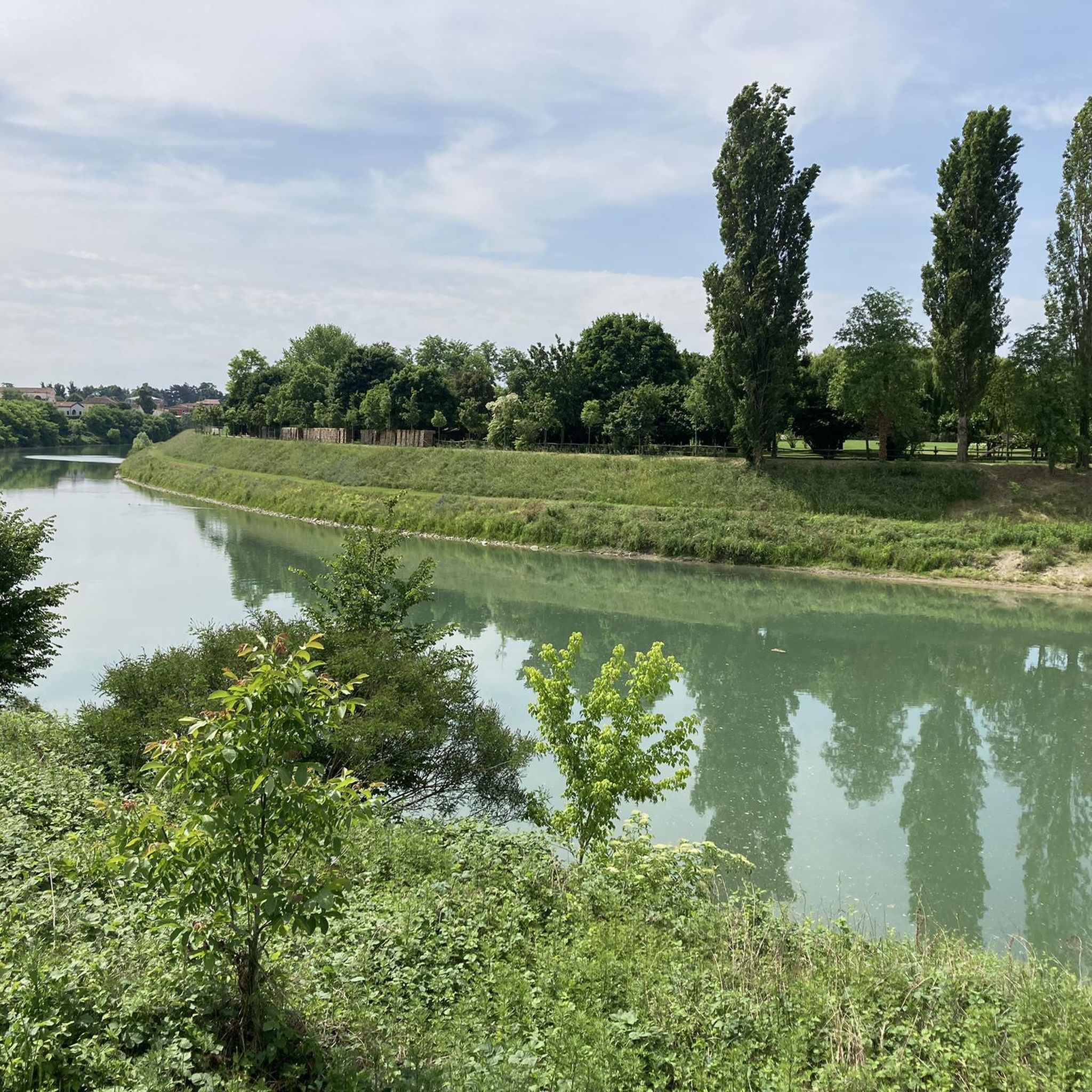
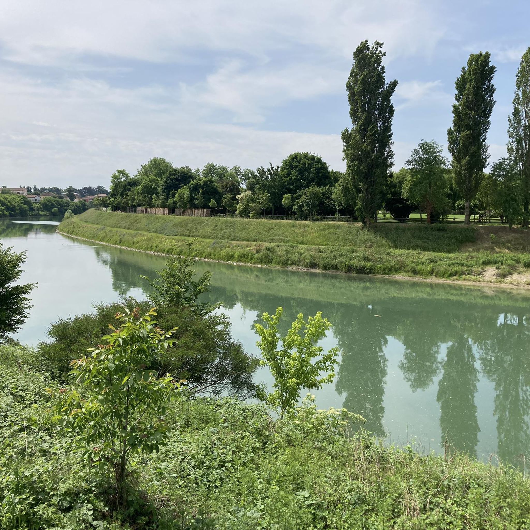
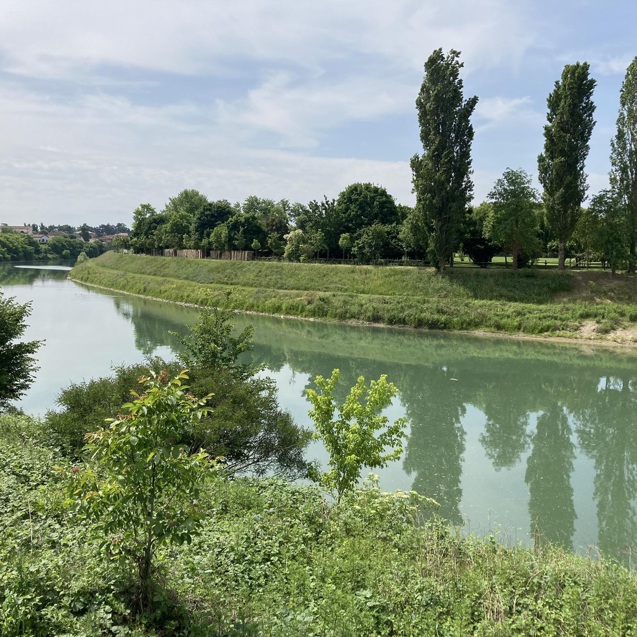
Safe routes for gravel running lovers, corroborated by unique countryside environments, poplar groves and small woods traversable via white roads and trails.
0
0

A park and biodiversity oasis where lavender reigns supreme. A great place for mental respite, with a small children's play area. Products for sale.
0
0

Equipped refreshment point
0
0

This part of the Treviso Ostiglia is certainly one of the most interesting to travel, well shaded.
0
0


route suitable for everyone
1
0

What to say about Treviso Ostiglia always beautiful to do best period spring but it is passable all year round
0
0
Frequently Asked Questions
How many road cycling routes are available around Campo San Martino?
There are over 100 road cycling routes around Campo San Martino, catering to various skill levels. This includes 17 easy routes, 79 moderate routes, and 7 more challenging options, ensuring there's something for every cyclist.
What kind of terrain can I expect when road cycling in Campo San Martino?
The road cycling routes in Campo San Martino are primarily characterized by the flat terrain of the Province of Padua, situated near the Brenta River. You'll encounter a network of waterways, irrigation canals, and extensive forage fields, offering a consistent and generally low-lying landscape with minimal elevation changes.
Are there road cycling routes suitable for beginners in Campo San Martino?
Yes, Campo San Martino offers 17 easy road cycling routes, perfect for beginners or those looking for a relaxed ride. These routes typically feature flat terrain and are ideal for enjoying the scenic surroundings without significant climbs.
Can I find loop routes for road cycling in the area?
Absolutely. Many of the road cycling routes around Campo San Martino are designed as loops, allowing you to start and finish in the same location. For example, the View of the Raposso Valley – View of the Vineyard Landscape loop from Piazzola sul Brenta is a popular moderate loop covering 67.4 km.
What scenic viewpoints or attractions can I see along the road cycling routes?
While cycling, you can enjoy views of the Brenta River and its surrounding natural environment. Notable attractions include the functional Brenta Cycle Bridge, which offers impressive viewpoints, and the historical Villa Contarini, a significant landmark in Piazzola sul Brenta.
Are there any historical sites to visit while cycling?
Yes, the region is home to historical sites like Villa Contarini in Piazzola sul Brenta. This impressive villa, built on the remains of a 10th-century castle, is often featured on cycling routes, such as the Villa Contarini – View of Lapio from Villabalzana loop from Piazzola sul Brenta, offering a glimpse into the area's rich past.
Where can I find parking for my car when starting a road cycling tour?
Piazzola sul Brenta serves as a common starting point for many road cycling routes in the area. While specific parking lots aren't detailed, its role as a hub suggests readily available parking options for cyclists looking to explore the surrounding trails.
Are there cafes or places to stop for refreshments along the routes?
Yes, you'll find places to stop for refreshments. For instance, the Ostiglia Refreshment Kiosk and the Kiosk at the Treviso-Ostiglia and Via del Santo Cycle Path Junction are located along popular routes, providing convenient spots to take a break and refuel.
What do other road cyclists enjoy the most about road cycling in Campo San Martino?
The area is highly rated by the komoot community, with an average score of 4.5 stars from over 80 reviews. Cyclists often praise the flat, well-paved surfaces, the scenic views along the Brenta River, and the variety of routes that cater to different fitness levels, making it an enjoyable experience for many.
What is the best time of year for road cycling in Campo San Martino?
The spring and autumn months generally offer the most pleasant conditions for road cycling in Campo San Martino, with milder temperatures and less humidity. Summer can also be suitable, especially during early mornings or late afternoons, to avoid the peak heat.
Are there any longer road cycling routes for endurance training?
For those seeking longer rides, routes like the View of Valstagna – Villa Contarini loop from Piazzola sul Brenta offer a substantial distance of over 90 km. These routes provide ample opportunity for endurance training amidst the region's characteristic flat landscapes and river views.
Is public transport available to reach the cycling routes in Campo San Martino?
While specific public transport links directly to trailheads are not detailed, Piazzola sul Brenta is a central point in the region and a common starting location for many routes. It is generally well-connected, suggesting that public transport options to reach this town are available, from where you can easily access the cycling network.
Most popular routes around Campo San Martino
Most popular attractions around Campo San Martino

Get inspired with the komoot mobile app


Explore more
Browse the best Road cycling routes in other regions.
