The best road cycling routes around Carro
4.5
(524)
7,353
riders
64
rides
Road cycling routes around Carro feature a diverse landscape characterized by significant elevation changes, offering both challenging climbs and rewarding descents. The region includes coastal areas with panoramic sea views and inland routes that traverse mountain passes and valleys. Road cyclists can expect varied terrain, from winding roads through forested hills to open stretches with distant vistas.
Best road cycling routes around Carro
- The most popular road cycling route is View of La Spezia – Panoramic view of Monterosso loop…
Last updated: November 15, 2026
4.6
(13)
191
riders
58.2km
03:16
1,280m
1,280m
Hard road ride. Very good fitness required. Mostly well-paved surfaces and easy to ride.
4.1
(43)
114
riders
57.4km
02:26
470m
470m
Moderate road ride. Good fitness required. Mostly well-paved surfaces and easy to ride.

4.2
(9)
83
riders
65.5km
03:21
890m
890m
Moderate road ride. Good fitness required. Some segments of this route may be unpaved and difficult to ride.
31
riders
36.1km
01:59
760m
760m
Moderate road ride. Good fitness required. Mostly well-paved surfaces and easy to ride.
4.0
(2)
31
riders
59.8km
03:07
1,050m
1,050m
Hard road ride. Very good fitness required. Mostly well-paved surfaces and easy to ride.
Get access to more routes and recommendations from other explorers.
Already have an account?
Our route recommendations are based on thousands of hikes, rides, and runs completed by other people on komoot.
Start today with a free account
Your next adventure awaits.

Tips from the Community

The Marco Pantani Fountain on the Passo di Guaitarola is a characteristic fountain for cyclists located on the pass of the same name, on the slopes of the mountain of the same name between the coast and the Passo del Bracco.
0
0
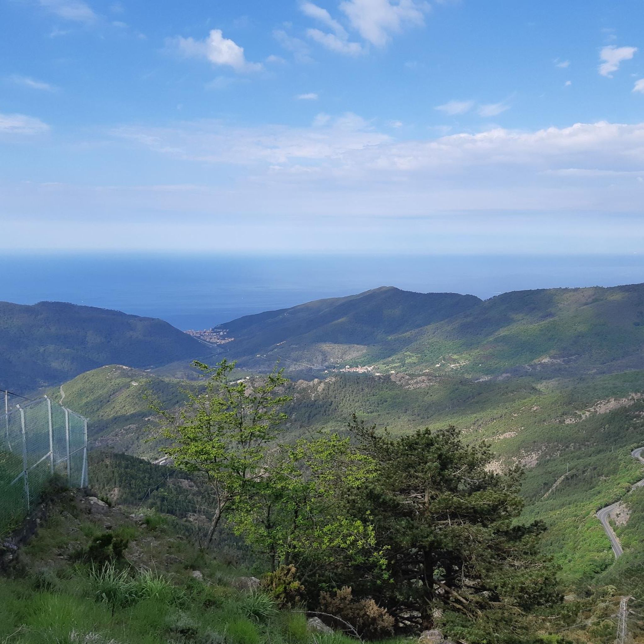
Passo della Mola (or Valico della Mola) is a mountain pass at an altitude of approximately 650-655 meters, located in Liguria, between the province of La Spezia and the metropolitan city of Genoa. It connects the coastal area to the Val di Vara (municipality of Carro). Main characteristics Altitude: 650 - 655 m a.s.l. Location: Connects the area of Carro and Velva, serving as an alternative to the better-known Passo del Bracco. Road: It is traversed via the Provincial Road 50 (SP50). The road has a narrow carriageway, generally moderate gradients, but with several curves and tight hairpin bends. Panorama: On clear days, it offers a view stretching from the Maritime Alps to the Apuan Alps.
0
0

After the fork from Bracco towards Levanto..very fresh water..🤩
1
0

Refreshingly cold fountain water and a small shrine in homage to Marco Pantani; definitely worth a detour
1
0

Update September 2025: Fieschi Castle is temporarily closed for renovations
0
0
A small, quiet town in the Vara Valley. A good starting point for a circular tour of Lunigiana (Rastrello Pass or Calzavitello Pass).
0
0

The name Calice al Cornoviglio combines two distinctive elements of the village: "Calice," of uncertain origin but perhaps derived from the Latin calix (cup), referring to the site's concave shape, and "Cornoviglio," the mountain (561 m) that overlooks the village and lends its name to the entire ridge. This toponym appears in medieval documents and recalls the village's ancient connection with the surrounding Apennine territory. Calice was long ruled by the Malaspina dello Spino Secco family, who built a strategic castle there, documented since the 11th century and modified several times over the centuries. Today, the fortress houses the Diocesan Museum of Sacred Art and the Chestnut Documentation Center, two testimonies to the profound intertwining of history, spirituality, and the territory's resources. A short distance away is the parish church of Santa Maria Lauretana, an elegant 18th-century Baroque building with exquisite decorations and a polychrome marble high altar. The village comes alive throughout the year with traditional events such as the Feast of Our Lady of Loreto (September), the Chestnut Festival (October) and various summer festivals, which highlight the historical and cultural roots of the place.
0
0
The houses of the oldest part of the village of Rocchetta di Vara have been extensively remodeled in the past, when no attention was paid to the conservation of the original architecture, which has therefore been lost. The most interesting monument is undoubtedly the parish church of Santa Giustina. Dating back to the 16th century and built on the foundations of the ancient chapel of San Pantaleone, it houses a statue of the church's patron saint.
0
0
Frequently Asked Questions
Are there road cycling routes suitable for beginners around Carro?
Yes, Carro offers a diverse range of routes. While many feature significant elevation changes, there is at least 1 easy route available, alongside 27 moderate options, making it possible for beginners to find suitable rides.
What kind of terrain can I expect on road cycling routes near Carro?
Road cycling around Carro is characterized by significant elevation changes, offering both challenging climbs and rewarding descents. You'll find varied terrain, from winding roads through forested hills to open stretches with distant vistas, including coastal areas with panoramic sea views and inland routes traversing mountain passes and valleys.
Are there any circular road cycling routes in the Carro area?
Many of the road cycling routes around Carro are designed as loops, allowing you to start and finish in the same location. For example, the difficult route View of La Spezia – Panoramic view of Monterosso loop from Carrodano is a 98.8 km loop, and the moderate Varese Ligure - start – Piazza Marconi, Sesta Godano loop from Carrodano is a 65.7 km loop.
What are some scenic viewpoints or attractions I can see along the road cycling routes?
The routes often pass by stunning locations. You can enjoy the Nice view of Levanto, or explore the coastal town of Bonassola. Many routes also traverse significant mountain passes like Bracco Pass, offering expansive views.
How long do road cycling routes around Carro typically take to complete?
Route durations vary significantly based on distance and elevation. For instance, the challenging View of La Spezia – Panoramic view of Monterosso loop from Carrodano takes approximately 5 hours 51 minutes, while the moderate Varese Ligure - start – Piazza Marconi, Sesta Godano loop from Carrodano can be completed in about 3 hours 21 minutes.
What is the best time of year for road cycling in Carro?
The region's diverse landscape, including coastal and inland routes, makes it enjoyable across multiple seasons. Summer offers warm conditions ideal for coastal rides, but be prepared for significant climbs. Spring and autumn provide milder temperatures, which can be more comfortable for tackling the mountain passes.
Are there any particularly challenging road cycling routes for experienced riders?
Yes, Carro is well-known for its challenging routes, with 40 out of 68 routes classified as difficult. An example is the Passo di Cento Croci (1,055 m) – Historic Center of Pontremoli loop from Sesta Godano, which covers 118 km with over 2,600 meters of elevation gain.
What do other road cyclists enjoy most about road cycling in Carro?
The area is highly rated by the komoot community, with an average score of 4.5 stars from over 300 reviews. Road cyclists often praise the extensive panoramic views of the Ligurian coast, the challenging mountain passes, and the varied inland terrain.
Are there any specific mountain passes that are popular among road cyclists in Carro?
Yes, the region features several notable mountain passes. The Bracco Pass is a well-known landmark, and routes often incorporate climbs to locations like Passo del Biscia or the Passo di Cento Croci.
How many road cycling routes are available around Carro?
There are over 60 road cycling routes available around Carro, offering a wide variety of options for different skill levels and preferences. This includes 1 easy, 27 moderate, and 40 difficult routes.
Can I find routes that offer views of the Ligurian coast?
Absolutely. Many routes in the Carro area provide stunning coastal vistas. For example, the difficult route View of La Spezia – Panoramic view of Monterosso loop from Carrodano offers extensive panoramic views of the Ligurian coast, and Panorama on Levanto – View over Levanto loop from Sesta Godano provides scenic overlooks of Levanto.
Are there any routes that explore the inland areas and valleys around Carro?
Yes, beyond the coastal views, Carro's road cycling network includes routes that delve into the varied inland terrain, traversing mountain passes and valleys. The moderate route Varese Ligure - start – Piazza Marconi, Sesta Godano loop from Carrodano is a good example of a trail leading through these diverse landscapes.
Most popular attractions around Carro

Get inspired with the komoot mobile app


Explore more
Browse the best Road cycling routes in other regions.
