The best road cycling routes around Antey-Saint-André
4.3
(147)
2,921
riders
56
rides
Road cycling around Antey-Saint-André is characterized by its alpine valleys and challenging mountain passes within the Aosta Valley. The region features significant elevation changes, with routes often traversing through river valleys and ascending towards higher ground, offering views of the Matterhorn. Cyclists can expect varied terrain, from valley floors to steep climbs through alpine meadows and coniferous forests.
Best road cycling routes around Antey-Saint-André
- The most popular road cycling route is Châtillon to Breuil-Cervinia Climb, a 35.0 miles (56.4…
Last updated: August 2, 2026
5.0
(5)
210
riders
56.4km
03:33
1,570m
1,570m
Hard road ride. Very good fitness required. Mostly well-paved surfaces and easy to ride.
4.8
(9)
128
riders
37.6km
02:31
1,210m
1,210m
Hard road ride. Very good fitness required. Some segments of this route may be unpaved and difficult to ride.

Sign up for free
3.9
(35)
608
riders
62.1km
02:57
570m
570m
Moderate road ride. Good fitness required. Some segments of this route may be unpaved and difficult to ride.
5.0
(2)
100
riders
54.0km
03:31
1,680m
1,680m
Hard road ride. Very good fitness required. Mostly well-paved surfaces and easy to ride.
5.0
(1)
126
riders
Hard road ride. Very good fitness required. Mostly well-paved surfaces and easy to ride.
Get access to more routes and recommendations from other explorers.
Sign up for free
Already have an account?
Our route recommendations are based on thousands of hikes, rides, and runs completed by other people on komoot.
Start today with a free account
Your next adventure awaits.
Login or Signup
Popular around Antey-Saint-André
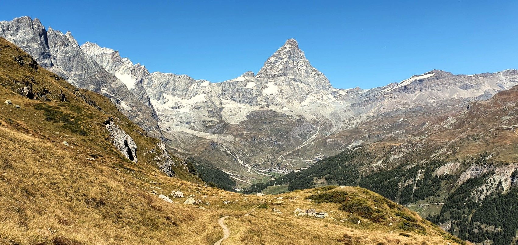
Running with the King – Great Balcony of the Matterhorn
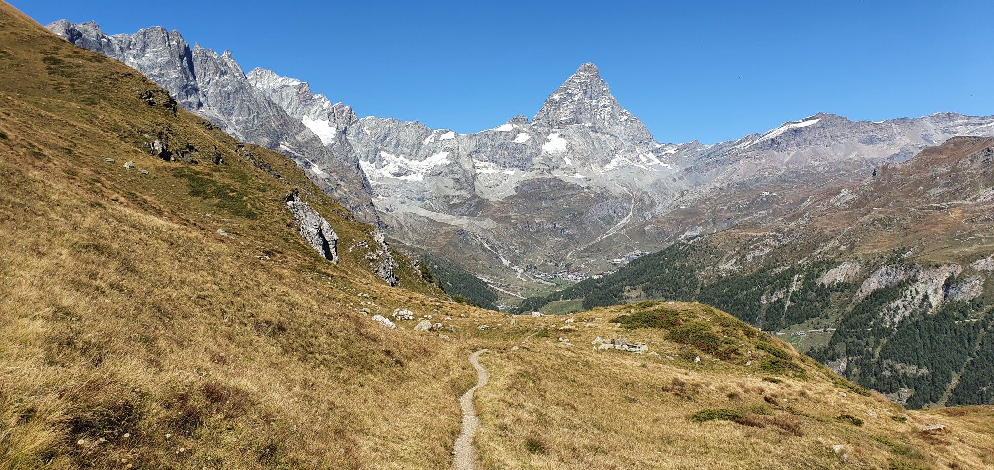
A breath away from the king — Grand Balcony of the Matterhorn
Hiking around Antey-Saint-André
MTB Trails around Antey-Saint-André

Gravel biking around Antey-Saint-André
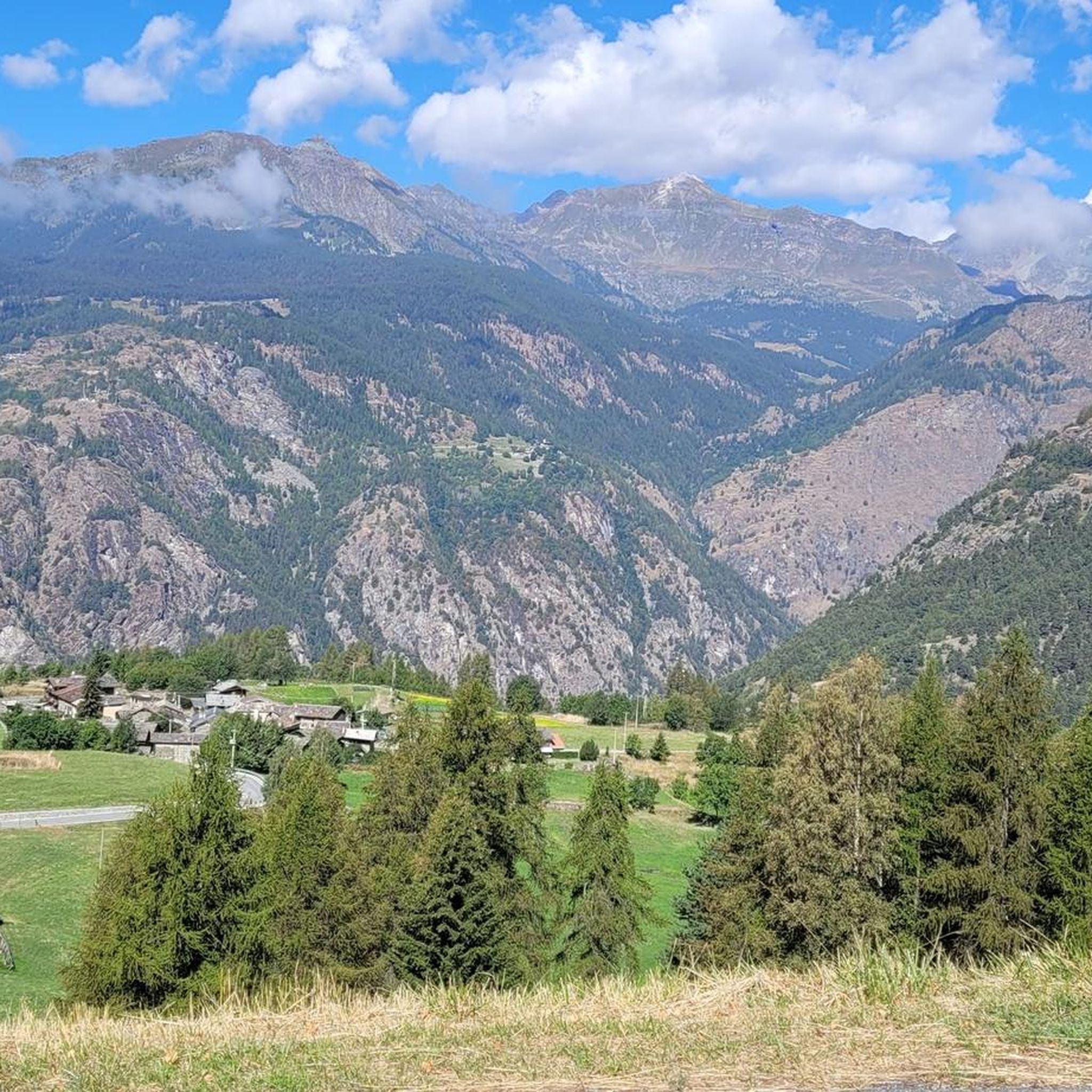
Running Trails around Antey-Saint-André
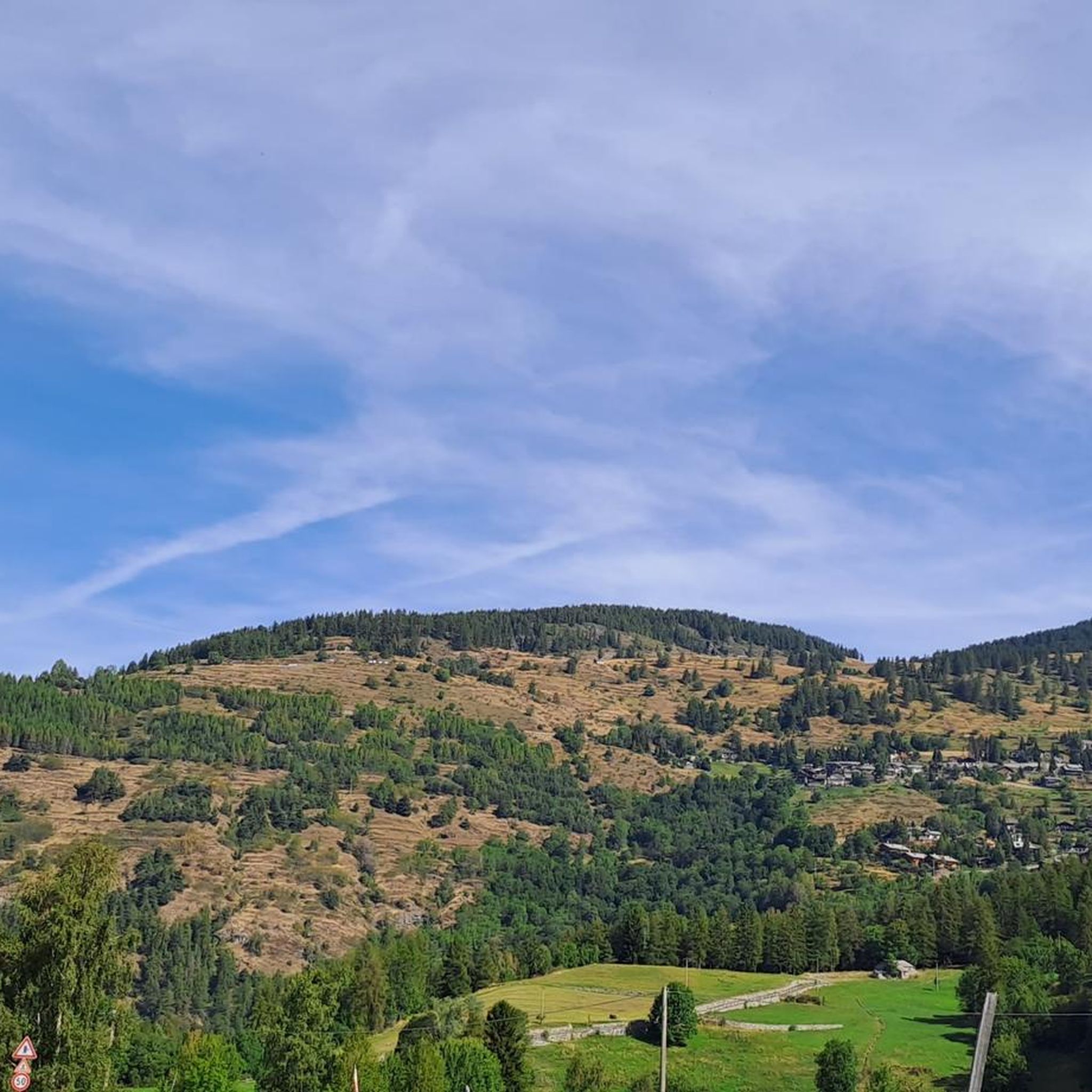
Cycling around Antey-Saint-André
Mountain Hikes around Antey-Saint-André


Tips from the Community

Arvier is located in a small basin in the central valley, surrounded by terraced vineyards and crossed by the Dora Baltea river. The village preserves traces of its medieval past, such as the Castello di La Mothe and the Romanesque bell tower, and is one of the access points to Valgrisenche, from where various ascents to more alpine environments begin.
0
0

After crossing the bridge over the Dora Baltea, State Road 26 now winds along a straight stretch with almost zero gradients, the perfect place to look up and enjoy the view of the highest mountain in Europe.
6
0

Once you drive past Runaz you can have stunning views on the peak and the glaciers, showing 4000 vertical meters of the massif. Impressive how it stands out in the valley!!
0
0


Mandatory passage for the Valle de Clavaritè from Fenils...
0
0


watch out for bumps in the asphalt caused by roots
0
0
Frequently Asked Questions
How many road cycling routes are available around Antey-Saint-André?
There are over 50 road cycling routes documented around Antey-Saint-André on komoot, offering a wide range of options for different skill levels and preferences.
Are there easy road cycling routes suitable for beginners in Antey-Saint-André?
Yes, Antey-Saint-André offers a few easy road cycling routes. While the region is known for its challenging alpine terrain, there are options that provide a gentler introduction to road cycling in the area.
What are some challenging road cycling routes for experienced riders near Antey-Saint-André?
For experienced riders seeking a challenge, the region offers numerous difficult routes. A notable option is the Châtillon to Breuil-Cervinia Climb, which features a substantial ascent towards Breuil-Cervinia over 35 miles (56 km).
Are there any loop road cycling routes in Antey-Saint-André?
Yes, several loop routes are available. A popular choice is the Chambave - Colle San Pantaleone - Torgnon Loop, which covers 23.4 miles (37.6 km) and includes significant climbs over mountain passes.
What kind of terrain can I expect on road cycling routes in Antey-Saint-André?
Road cycling around Antey-Saint-André is characterized by its alpine valleys and challenging mountain passes within the Aosta Valley. You can expect varied terrain, from valley floors along rivers like the Dora Baltea to steep climbs towards higher ground.
What do other road cyclists say about the routes in Antey-Saint-André?
The routes in Antey-Saint-André are highly rated by the komoot community, with an average score of 4.4 stars from over 100 reviews. Many road cyclists praise the varied terrain and the scenic beauty of the alpine landscapes.
What scenic viewpoints can I discover while road cycling around Antey-Saint-André?
The region offers breathtaking alpine views. While cycling, you might encounter natural monuments such as Lago di Lod or the Fenêtre du Tsan, providing stunning vistas of the surrounding mountains and valleys.
Are there any historical landmarks along the road cycling routes?
Yes, some routes pass through areas with historical significance. For example, the Arch of Augustus (Aosta) – Dora Baltea River Bridge loop from Châtillon-Saint-Vincent leads through historical areas and along the Dora Baltea River, offering glimpses of ancient structures like the Arch of Augustus in Aosta.
What is the best season for road biking in Antey-Saint-André?
Given its alpine location, the best season for road biking in Antey-Saint-André is typically from late spring to early autumn (May to October). During these months, mountain passes are usually clear of snow, and the weather is more favorable for cycling, though conditions can vary at higher elevations.
Can I find places to stop for refreshments or rest along the routes?
While specific cafes are not listed for every route, the region has various huts and farm stays that can offer refreshments. For instance, you might find options like La Tchavana farm stay in Metsan or various mountain refuges, especially on longer routes.
Are there any less crowded road bike routes in Antey-Saint-André?
While popular routes can see more traffic, exploring some of the less-traveled paths or cycling during off-peak hours (early mornings or weekdays) can offer a more serene experience. The region has 51 routes, so there are many options beyond the most popular ones to discover quieter roads.
What is the longest road cycling route available?
One of the longer and more demanding routes is the Great St Bernard Hospice – Dora Baltea River Bridge loop from Châtillon-Saint-Vincent, which spans approximately 73 miles (117 km) and involves significant elevation changes.
Most popular routes around Antey-Saint-André
Most popular attractions around Antey-Saint-André

Get inspired with the komoot mobile app


Explore more
Browse the best Road cycling routes in other regions.
