The best traffic-free bike rides around Antey-Saint-André
4.3
(74)
1,695
riders
12
rides
No traffic road cycling routes around Antey-Saint-André are set within Italy's Aosta Valley, a region characterized by diverse alpine terrain and the iconic Matterhorn views. The landscape features forests, rivers, and majestic mountain ranges, with elevations starting around 1,100 meters above sea level. Ancient glaciers have sculpted distinctive amphitheater-like valleys and an organized pattern of prairies and woodlands, providing varied backdrops for road cyclists. The area includes scenic mountain passes like Col Saint Pantaléon, offering challenging climbs and quieter routes…
Last updated: May 19, 2026
5
riders
15.6km
01:07
530m
530m
Moderate road ride. Good fitness required. Mostly well-paved surfaces and easy to ride.
5.0
(3)
88
riders
42.8km
02:58
1,500m
1,500m
Hard road ride. Very good fitness required. Mostly well-paved surfaces and easy to ride.

Sign up for free
4.1
(7)
63
riders
25.8km
01:46
900m
900m
Moderate road ride. Good fitness required. Mostly well-paved surfaces and easy to ride.
37
riders
42.7km
02:47
1,300m
1,300m
Hard road ride. Very good fitness required. Mostly well-paved surfaces and easy to ride.
18
riders
24.9km
01:28
630m
630m
Moderate road ride. Good fitness required. Mostly well-paved surfaces and easy to ride.
Get access to more routes and recommendations from other explorers.
Sign up for free
Already have an account?
Our route recommendations are based on thousands of hikes, rides, and runs completed by other people on komoot.
Start today with a free account
Your next adventure awaits.
Login or Signup




Tips from the Community

First Chambave-Pantaleon, then up to the Matterhorn. Make sure to have a rear light on your bike, as you will go through tunnels with a lot of traffic.
0
0

Brusson is a renowned mountain resort, renowned for its tranquil atmosphere and Alpine landscapes. Its heart is the lake, an easily accessible body of water perfect for relaxing walks, picnics, and outdoor activities. In winter, the town becomes a hub for cross-country skiing.
1
0

Alpine pass with a large green plateau, where we find the path that climbs to Testa di Comagna
0
0

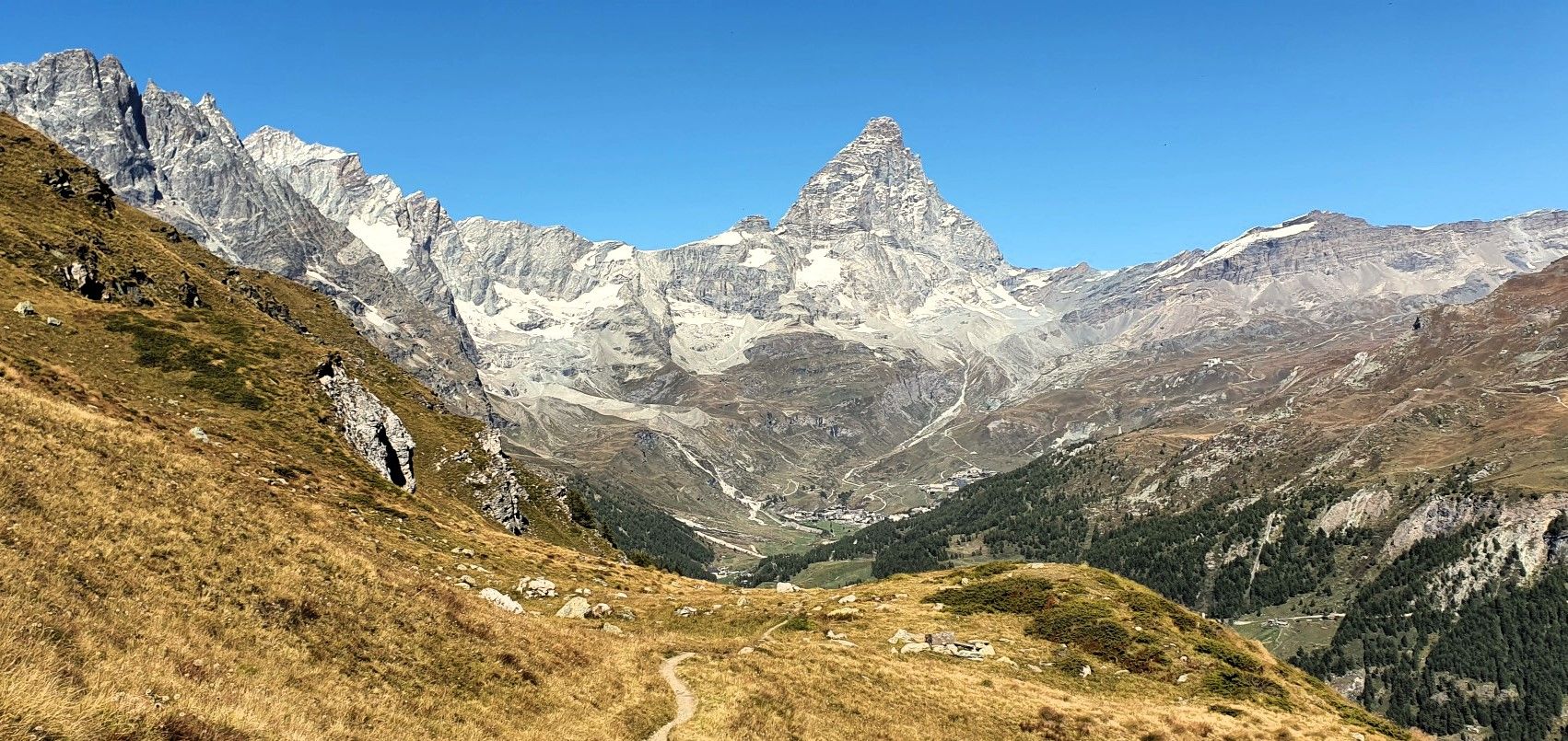
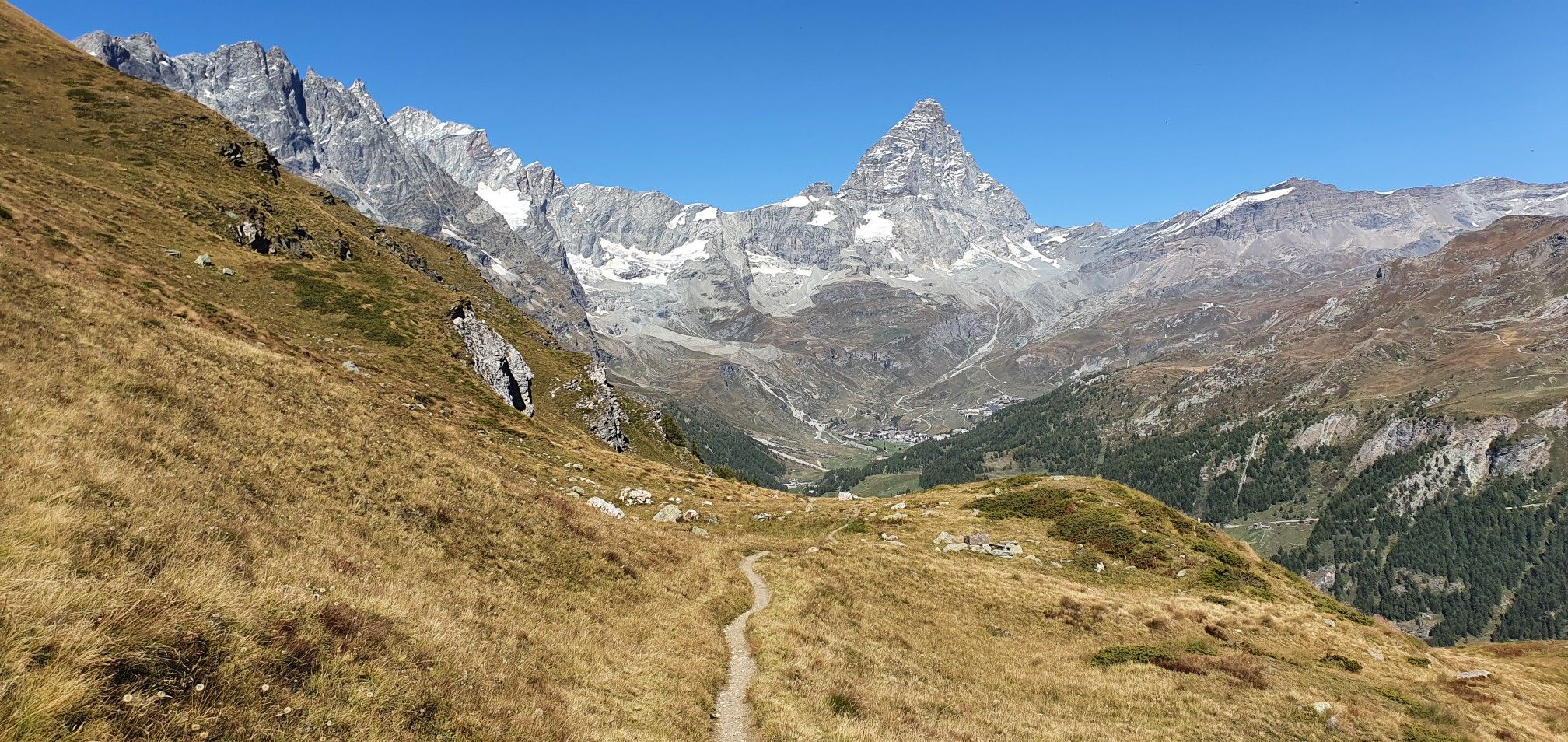
Beautiful view of the Matterhorn and its valley
0
0

Mandatory passage for the Valle de Clavaritè from Fenils...
0
0

A green lung with benches in the middle of a hill
0
0

Railway over the Dora. Worse were the consequences of the previous floods. The cycle path was no longer recognisable and transformed into a single sandy plain.
7
0
Frequently Asked Questions
How many no-traffic road cycling routes are available around Antey-Saint-André?
There are 12 dedicated no-traffic road cycling routes around Antey-Saint-André. These routes offer a mix of challenges, with 5 classified as moderate and 7 as difficult, ensuring options for various skill levels.
What kind of terrain can I expect on these no-traffic road cycling routes?
The no-traffic road cycling routes around Antey-Saint-André traverse diverse alpine terrain. You'll find everything from challenging climbs on mountain passes like Col Saint Pantaléon to more undulating roads through forests and prairies. The region's landscape, shaped by ancient glaciers, offers visually engaging routes with stunning views of the Matterhorn and surrounding valleys.
Are there any scenic landmarks or natural features to see along the no-traffic road cycling routes?
Absolutely! The routes offer breathtaking views of the iconic Matterhorn (Cervino). You can also discover beautiful natural features such as Lago di Lod, a picturesque lake, or the Ancient Petit Rouge Vine. The region is rich with forests, rivers, and mountain ranges, providing a dynamic backdrop for your ride.
What do other road cyclists enjoy most about cycling in Antey-Saint-André?
The area is highly rated by the komoot community, with an average score of 4.4 stars from 120 ratings. Reviewers often praise the spectacular panoramic views of the Matterhorn, the quiet roads, and the diverse alpine terrain that offers both challenging climbs and scenic, peaceful rides away from traffic.
Are there any challenging no-traffic road cycling routes for experienced cyclists?
Yes, experienced cyclists will find plenty of challenging options. For instance, the Col de Joux Pass – Colle Tzecore Picnic Area loop from Châtillon-Saint-Vincent is a difficult route spanning nearly 49 km with over 1600 meters of elevation gain. Another demanding option is the Colle Tzecore Picnic Area loop from Saint-Vincent, which covers almost 28 km with over 1000 meters of ascent.
Can I find a moderate no-traffic road cycling route that includes a mountain pass?
Certainly. The Chambave - Col San Pantaleone - Torgnon Loop is a moderate 15.6 km route that takes you over Col Saint Pantaléon. This pass is particularly favored by cyclists for its quiet roads, curves, and exceptional views of the Matterhorn from the summit.
What is the best time of year for no-traffic road cycling in Antey-Saint-André?
The best time for road cycling in Antey-Saint-André is typically from late spring through early autumn. The town, situated at 1,100 meters above sea level, offers a temperate climate during these months, making for pleasant riding conditions. Always check local weather forecasts for mountain conditions before heading out.
Are there any cultural or historical sites accessible from these no-traffic cycling routes?
While the focus is on no-traffic routes, many rides offer opportunities to incorporate cultural stops. The Aosta Valley is rich in history, with numerous castles nearby. You could also explore sites like the 16th-century Rû du pain perdu, an ancient irrigation canal, or the Parish Church of Sant'Andrea in Antey-Saint-André itself, which features remnants of a castle tower.
Are there any longer, more challenging no-traffic road cycling routes available?
Yes, for those seeking a longer and more challenging ride, the Dora Baltea River Bridge – Castello di Fénis loop from Chambave is a difficult route spanning approximately 37 km with over 1100 meters of elevation gain. This route allows you to explore more of the scenic Aosta Valley.
What kind of views can I expect on a no-traffic road cycling route from Saint-Vincent?
From Saint-Vincent, routes like the Col de Joux loop from Saint-Vincent offer stunning alpine panoramas. You'll experience the characteristic amphitheater-like valleys, orderly alternations of prairies and woods, and often captivating glimpses of the high peaks of the Western Alps, including the Matterhorn.
Is Antey-Saint-André a good base for exploring other alpine areas by road bike?
Yes, Antey-Saint-André's central position in the Aosta Valley makes it an excellent base. It provides easy access to other significant alpine destinations and ski resorts like Cervinia-Valtournenche, Torgnon, and Chamois, expanding the possibilities for longer and more varied road cycling tours within the highest peaks of the Western Alps.
Most popular routes around Antey-Saint-André
Most popular attractions around Antey-Saint-André

Get inspired with the komoot mobile app


Explore more
Browse the best Road cycling routes in other regions.
