The best mountain hikes around Bionaz
4.7
(50)
719
hikers
4
hikes
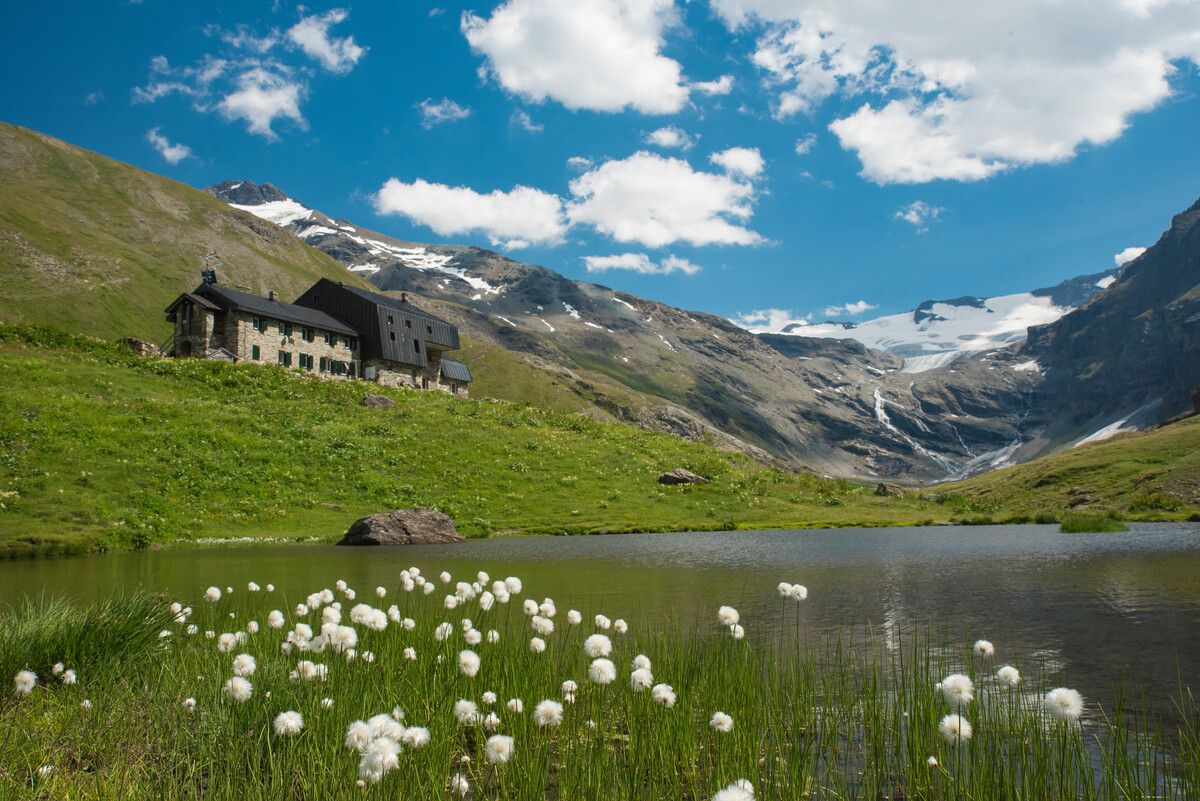
Mountaineering around Bionaz, nestled in Italy's Aosta Valley, is characterized by a dramatic alpine environment. The region is encircled by numerous peaks, many exceeding 4,000 meters, and features twenty glaciers, offering challenging terrain. High valleys, alpine meadows, and extensive natural reserves define the landscape, providing a rugged backdrop for mountaineering routes.
Best mountaineering routes around Bionaz
- The most popular mountaineering route is Rifugio Nacamuli to Col Collon loop from Bionaz, a 10.1 miles (16.3 km) trail that takes 7…
Last updated: September 24, 2026
4.6
(24)
427
hikers
10.5km
06:01
630m
630m
Hard mountaineering route. Very good fitness required. Sure-footedness, sturdy shoes and alpine experience required.
4.9
(10)
127
hikers
Hard mountaineering route. Good fitness required. Sure-footedness, sturdy shoes and alpine experience required.

4.9
(8)
117
hikers
8.75km
04:42
660m
660m
Hard mountaineering route. Good fitness required. Sure-footedness, sturdy shoes and alpine experience required.
3.0
(1)
20
hikers
2.01km
00:58
180m
180m
Moderate mountaineering route. Great for any fitness level. Mostly accessible paths. Sure-footedness required.
5.0
(2)
3
hikers
12.3km
05:05
620m
610m
Hard mountaineering route. Very good fitness required. Sure-footedness, sturdy shoes and alpine experience required.
Our route recommendations are based on thousands of hikes, rides, and runs completed by other people on komoot.
Start today with a free account
Your next adventure awaits.



Tips from the Community

departure from the Guide del Cervino refuge, the easiest of the 4000m peaks, incredible landscape in an alpine environment, few crevasses on the route but the excursion always requires mountaineering equipment, rope and harness
0
0

The Matterhorn can be seen well from here.
0
0

The Theodulsee is located at around 2,800 meters in a high alpine landscape shaped by glaciers, rocks, and scree. The lake owes its milky turquoise water to the finest rock particles carried by the meltwater. To the west, the view opens across the lake to the distinctive Matterhorn. To the east, just a few meters above the shore, is the Trockener Steg cable car station, one of the most important starting points for hikers, mountaineers, and winter sports enthusiasts. The outflow of the Theodulsee flows into the Furggbach a little later. The Theodulsee is one of the scenic highlights of the Matterhorn Glacier Trail, combining impressive nature with the high-alpine infrastructure around the Matterhorn.
0
0
On the Matterhorn Glacier Trail, a modern metal bridge crosses the Furggbach, which is fed by the meltwater of the Matterhorn Glacier. It replaced the former wooden bridge and allows for a safe crossing even with high meltwater levels. Below it, the milky-grey glacial water rushes down into the valley, framed by the mighty rock faces of the Matterhorn. The bridge is one of the striking waypoints of the Glacier Trail and impressively conveys the power of the high mountain landscape shaped by ice, water, and rock.
0
0
Hirli (2780 m) forms the transition between the high-alpine glacier world at the Matterhorn and the hiking trails towards Schwarzsee and Zermatt. Here, the Hörnliweg and the Matterhorn Glacier Trail meet. Directly next to it is the mountain station of the Hirli-Bahn (Joscht–Hirli), which in winter is part of the Zermatt ski area. A special eye-catcher is the stele of Sri Chinmoy Peace Mountain, which honors the Matterhorn as a symbol of peace, beauty, and the connecting power of nature. From Hirli, an impressive view opens up once again back to the Matterhorn and over the glacier landscape. At the same time, the signposts indicate the further descent via Schwarzsee and later down to Zermatt.
0
0
The most spectacular section of the approach to the Hörnlihütte begins with the actual Hörnliweg. The path quickly gains height via narrow rock ledges, metal walkways embedded in the rock, and stairs. Far below your feet, the glacier landscape stretches out, while the Matterhorn appears mightier with every step. A signpost along the path reminds you with the words "Fear God and give Him glory!" to approach the mighty mountain world with respect and humility. Nevertheless, the technically well-developed path requires sure-footedness, a head for heights, and concentration – and rewards you with one of the most impressive approaches in the Alps.
0
0
The deep blue Schwarzsee is one of the most beautiful viewpoints of the Matterhorn. Nestled in gentle mountain meadows, the surrounding world of peaks is reflected in its clear water in calm weather. Directly on the shore stands the idyllic chapel Maria zum Schnee, which lends the place a special tranquility and atmosphere. After the rugged rocks and glaciers around the Hörnlihütte, the Schwarzsee seems like a small oasis – an ideal place for a rest before the path continues towards Zermatt.
0
0

If you want to get up close to the Matterhorn, the views are beautiful, but the route is only semi-rideable. Coming from the Theodul Glacier, there are some pushing sections on the descent and two longer climbs where you also have to push. So, if you just want to get back down, you're better off ski-ing from Trockener Steg.
0
0
Frequently Asked Questions
What kind of mountaineering routes can I expect around Bionaz?
Bionaz offers a range of mountaineering experiences, primarily characterized by high alpine terrain, majestic peaks, and glaciers. You'll find routes leading through high valleys and alpine meadows. The komoot community rates these routes highly, with an average score of 4.7 stars.
Are there any easier mountaineering routes suitable for beginners or families in Bionaz?
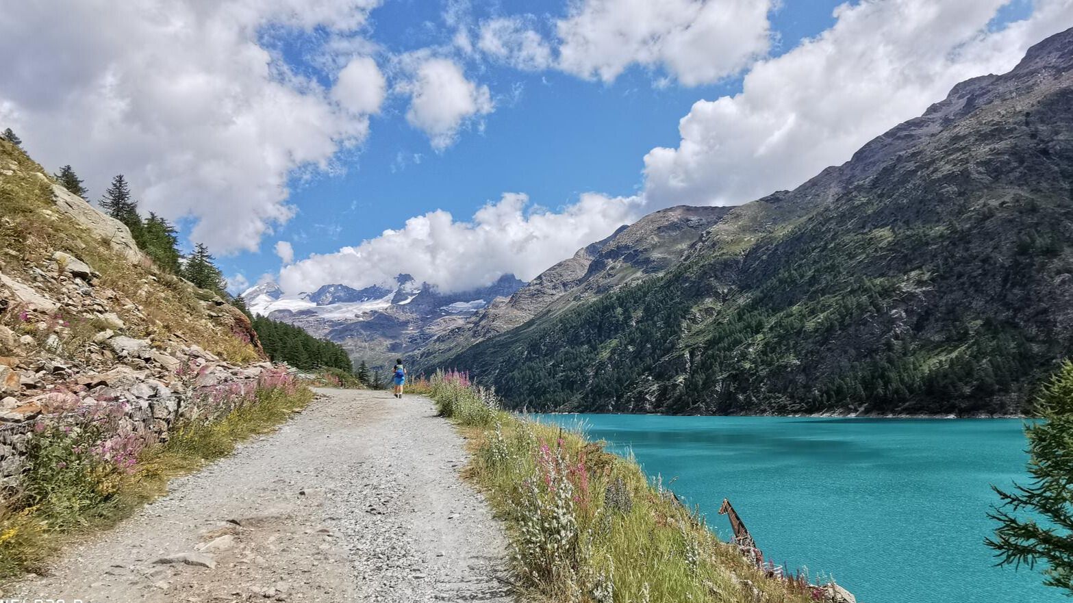
While many routes are challenging, there are some moderate options. For a less strenuous experience, the largely flat 6 km path along the Place Moulin dam to Rifugio Prarayer offers accessible walking. The area around Lake Lexert also provides enchanting forest trails suitable for easier rambles.
How challenging are the mountaineering routes around Bionaz?
The routes around Bionaz are generally quite demanding. Out of the 11 mountaineering routes listed, 7 are classified as difficult and 4 as moderate. These often involve significant elevation gain and high-altitude landscapes, requiring good physical condition and experience.
What are some notable natural features or attractions to see while mountaineering in Bionaz?
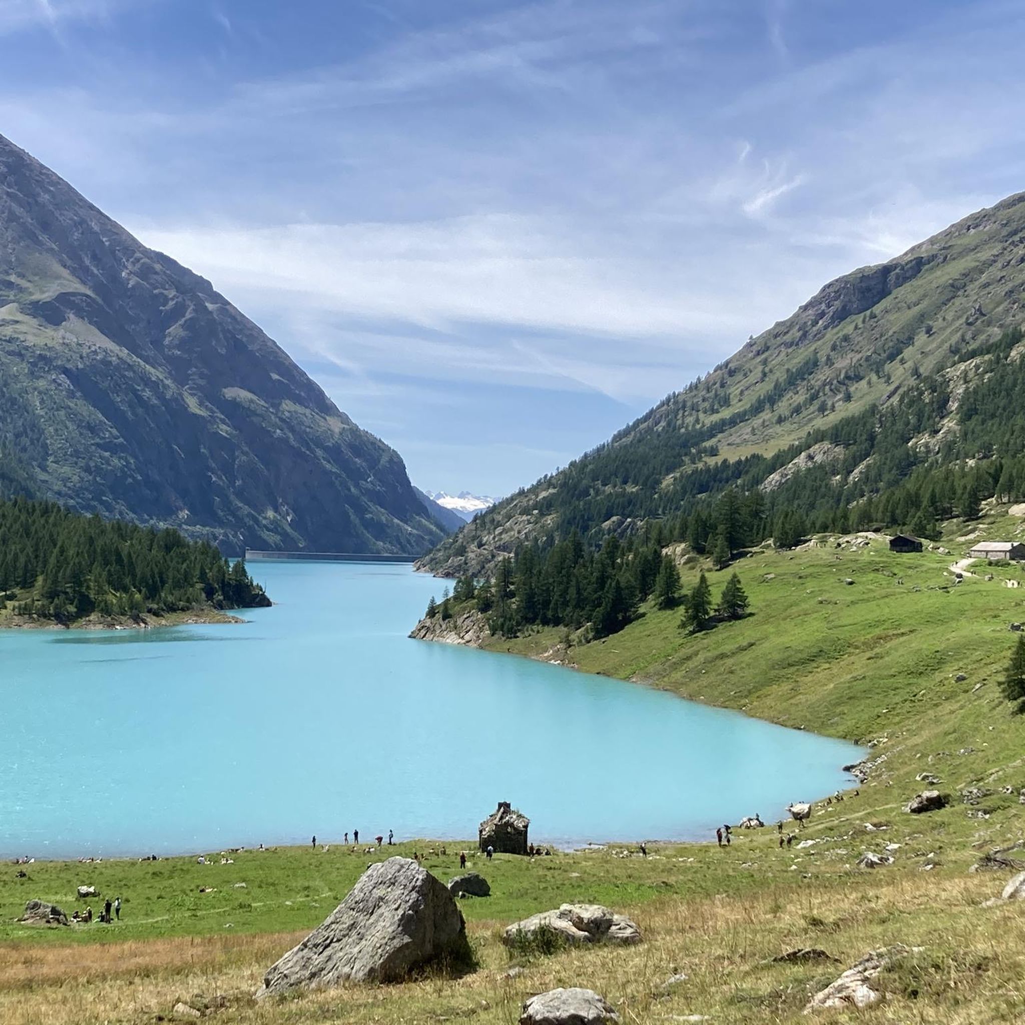
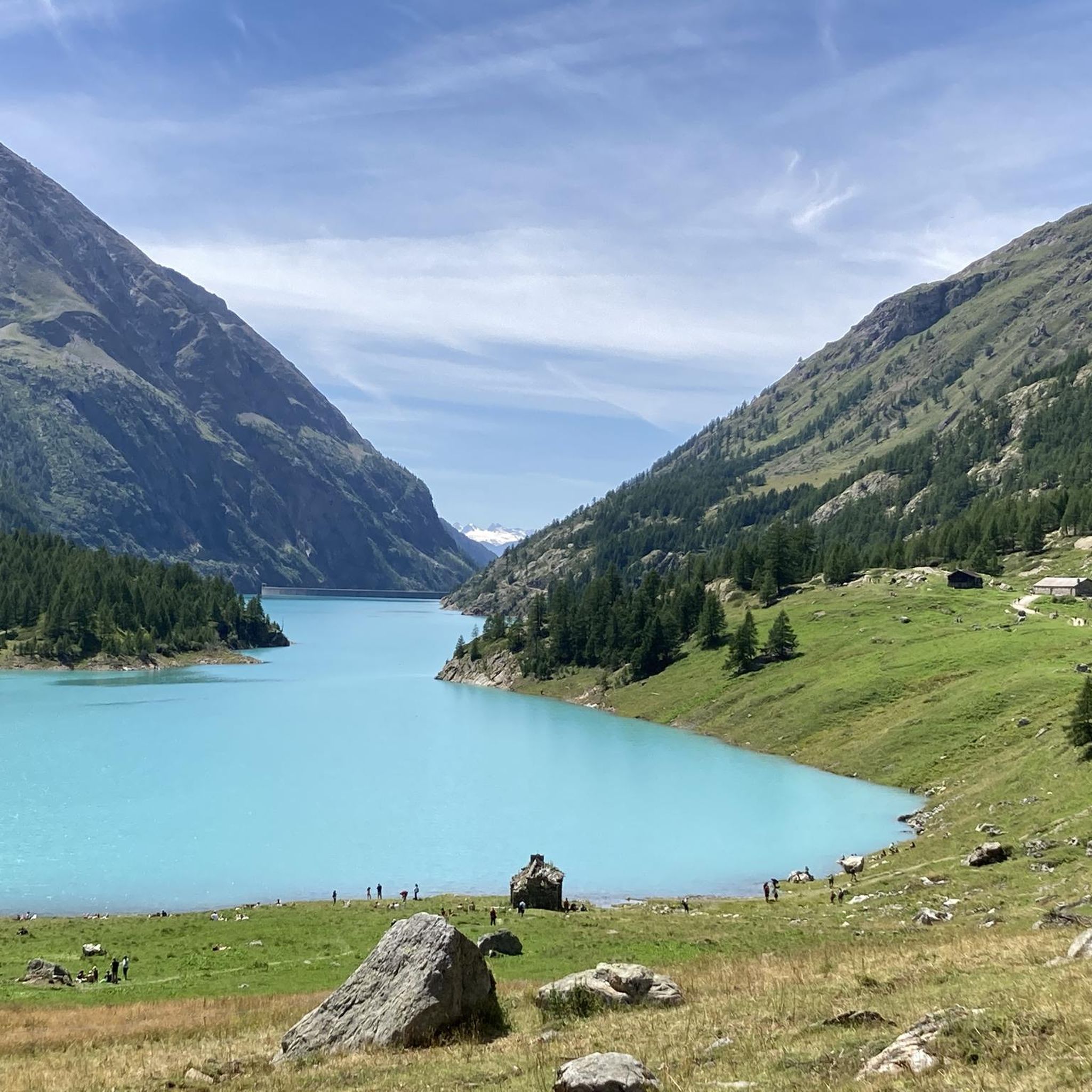
The region is rich in natural beauty. You can encounter the impressive Place Moulin dam with its emerald green waters, or the serene Lake Lexert. The Montagnayes Natural Reserve, spanning from the valley floor to over 3,300 meters, offers diverse alpine flora and fauna, including chamois, ibex, and golden eagles.
Are there any waterfalls or gorges to explore near the mountaineering routes?
Yes, the region features several impressive natural water formations. You can visit the Busserailles Caves and Waterfall or the Freideron Stream Waterfalls. The Saint-Barthélemy Valley also offers scenic gorge landscapes.
What is the best season for mountaineering in Bionaz?
Summer is generally ideal for mountaineering in Bionaz, offering the best conditions for accessing high-altitude routes and witnessing the beautiful blooms of rare alpine flora. The region is also popular for ski mountaineering in winter, but this requires specialized skills and equipment.
Can I find circular mountaineering routes in Bionaz?
Yes, several routes are designed as loops. For example, the Rifugio Nacamuli to Col Collon loop from Bionaz is a difficult 16.3 km route. Another option is the Oriondé Hut (2802 m) – Plan Maison Cable Car Station loop from Breuil-Cervinia, which is 12.6 km long and also considered difficult.
What kind of wildlife might I encounter in the Bionaz area?
The Montagnayes Natural Reserve is a haven for diverse wildlife. You might spot chamois, ibex, deer, roe deer, hares, marmots, foxes, badgers, martens, and weasels. Birds of prey like the golden eagle and pygmy owl are also present in the skies above.
Are there any huts or refuges along the mountaineering routes where I can rest or eat?
Yes, Bionaz serves as a starting point for expeditions to several alpine refuges, including Prarayer, Crête Sèche, Nacamuli, and Aosta. These refuges often offer traditional mountain meals and accommodation. The Rifugio Nacamuli to Col Collon loop, for instance, passes by the Nacamuli Refuge.
What are some other outdoor activities available in Bionaz besides mountaineering?
Beyond mountaineering, Bionaz offers a variety of activities. You can enjoy rock climbing and via ferrata at Les Crêtes, trekking and hiking on extensive networks, ski mountaineering in winter, Nordic walking, mountain biking, and trout fishing. The 'Rebel Park' adventure park provides family-friendly options.
How can I access Bionaz for mountaineering, and is parking available?
Bionaz is an alpine village located at the head of the Valpelline valley in Aosta Valley, Italy. Access is typically by road. Parking is generally available at key starting points for routes, such as near the Place Moulin dam or in the village itself, though it's always advisable to check local signage.
Most popular attractions around Bionaz

Get inspired with the komoot mobile app


Explore more
Browse the best Mountain Hikes & Routes in other regions.
