The best walks and hikes around Villeneuve
4.3
(1083)
5,546
hikers
15
hikes
Hiking around Villeneuve, located in Italy's Aosta Valley, offers access to trails through alpine landscapes and historic routes. The region is characterized by its mountainous terrain, river valleys, and ancient Roman infrastructure. Hikers can explore paths connecting historic villages and significant archaeological sites, with varying elevations and natural features.
Best hiking trails around Villeneuve
- The most popular hiking route is Cammino Balteo from Villeneuve to Aymavilles (via Pont d'Ael Roman Bridge), a 9.4 miles (15.1 km) trail that takes 6 hours 10 minutes to complete. This difficult route follows a historic path connecting two towns and passes a notable Roman aqueduct.
- Another top favourite among local hikers is Historic mule track from Introd to Villeneuve (Cammino Balteo), a difficult 14.9 miles (24.0 km) path. This trail offers a longer journey along an ancient mule track, connecting the village of Introd with Villeneuve.
- Local hikers also love the Ancient Roman trail to Pont d'Aël aqueduct, a 4.0 miles (6.5 km) trail leading through the valley landscape, often completed in about 2 hours 32 minutes.
- Hiking around Villeneuve is defined by mountain valleys, historic Roman paths, and the Dora Baltea river. The network offers options for both moderate and difficult ability levels.
- The routes in Villeneuve are highly rated by the komoot community with an average score of 4.4 stars from over 900 reviews. More than 5000 hikers have used komoot to explore Villeneuve's varied terrain.
Last updated: September 26, 2026
4.7
(6)
52
hikers
15.1km
06:11
960m
960m
Hike the difficult Cammino Balteo Stage 17 from Villeneuve to Aymavilles, featuring Roman history, Alpine views, and charming villages.
3.5
(2)
9
hikers
24.0km
07:23
680m
690m
Hike the difficult 14.9-mile Historic mule track from Introd to Villeneuve (Cammino Balteo) for stunning Mont Blanc views and historic villa

4.0
(1)
7
hikers
14.2km
05:23
920m
920m
Historic mountain trail through Valle d'Aosta chapels and hamlets to peaceful Petit Poignon.
3.0
(1)
4
hikers
8.44km
03:14
580m
580m
Forest trail through Valle d'Aosta wilderness with Roman bridges and fragrant pine canopies.
6.48km
02:32
320m
320m
Ancient Roman trail ending at a 2,000-year-old aqueduct bridge you can walk through.
Get access to more routes and recommendations from other explorers.
Already have an account?
Our route recommendations are based on thousands of hikes, rides, and runs completed by other people on komoot.
Start today with a free account
Your next adventure awaits.
Popular around Villeneuve

Cammino Balteo – castles, vineyards and trails of the Aosta Valley

Paths, castles and views of Italy’s Aosta Valley – Cammino Balteo
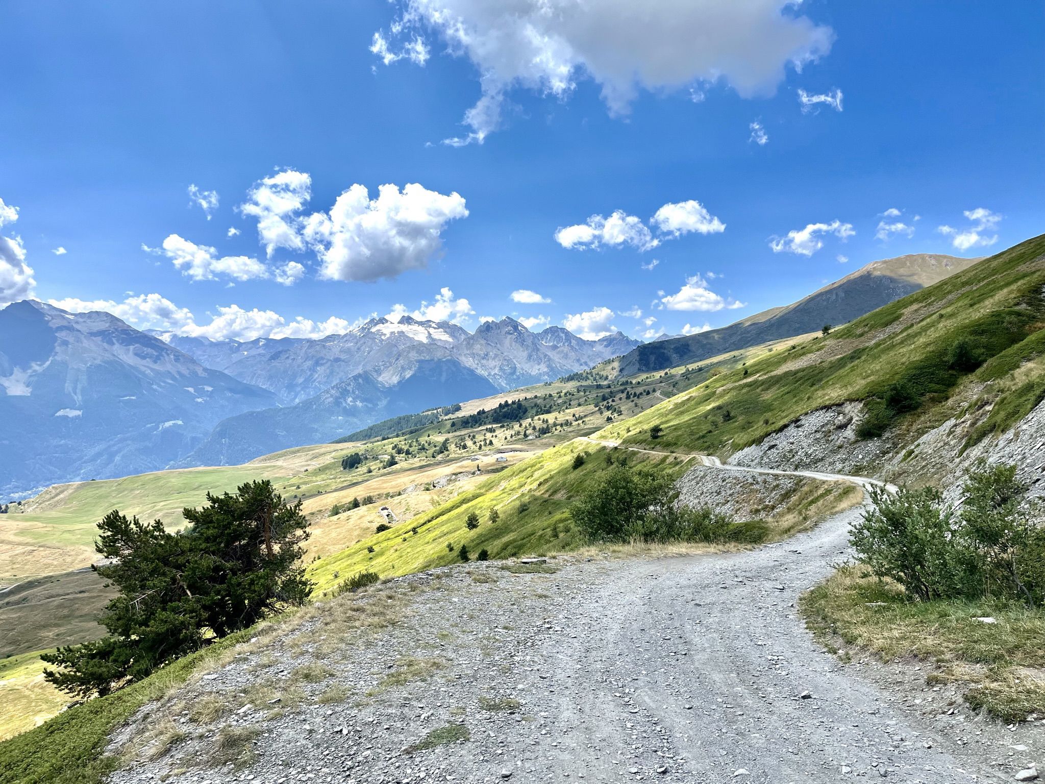
Mountain biking with a glacier backdrop – rides in Italy’s Aosta Valley
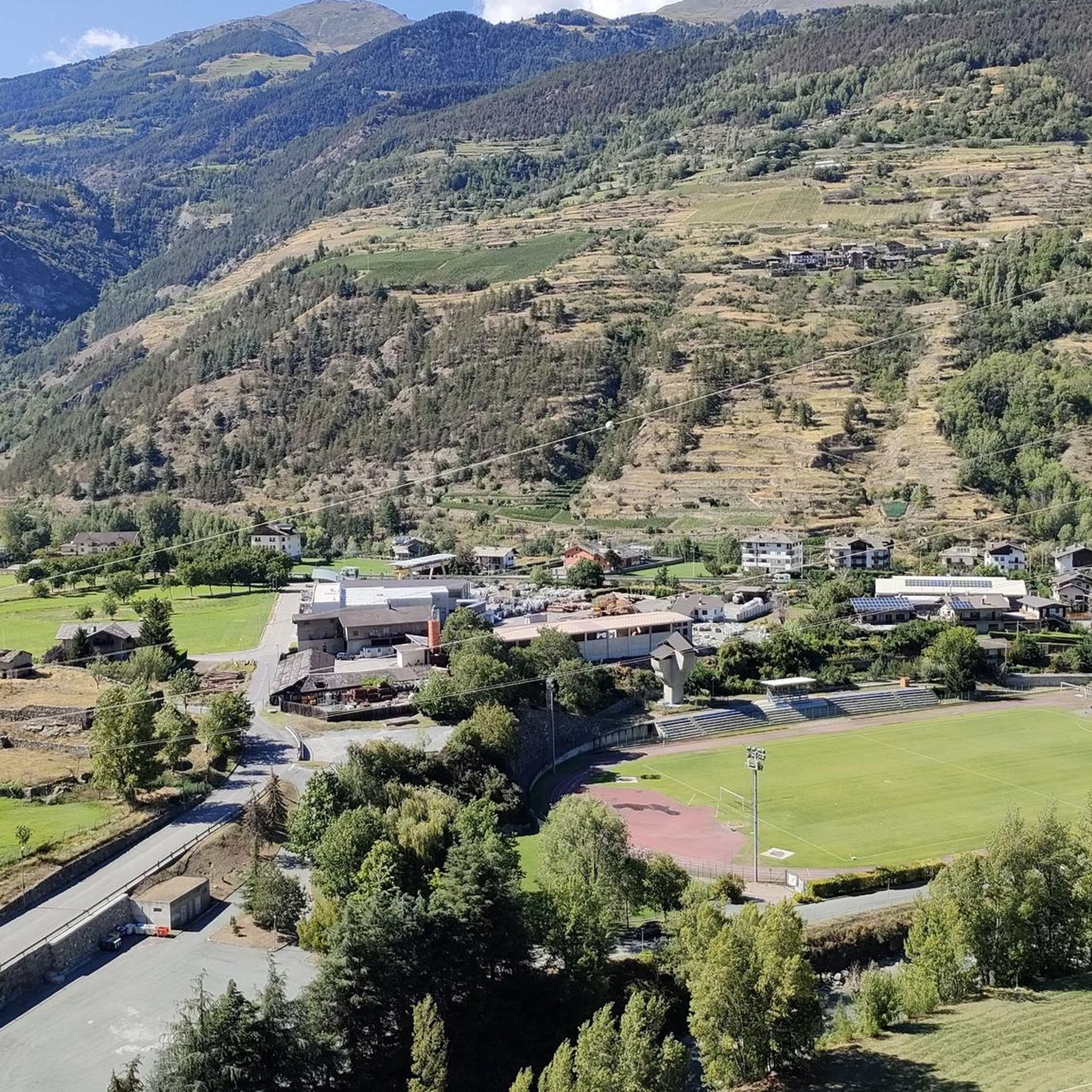
Road Cycling Routes around Villeneuve
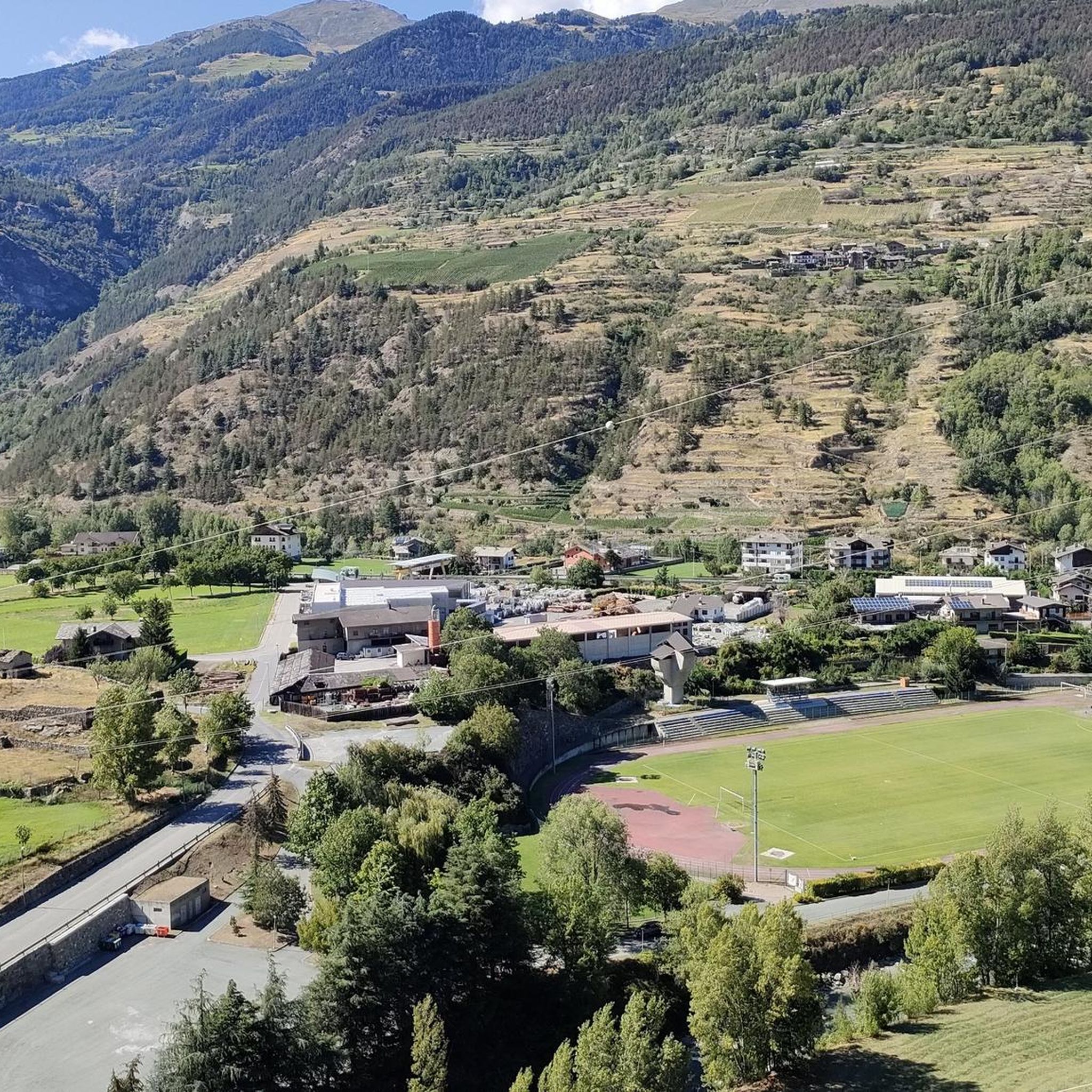
MTB Trails around Villeneuve
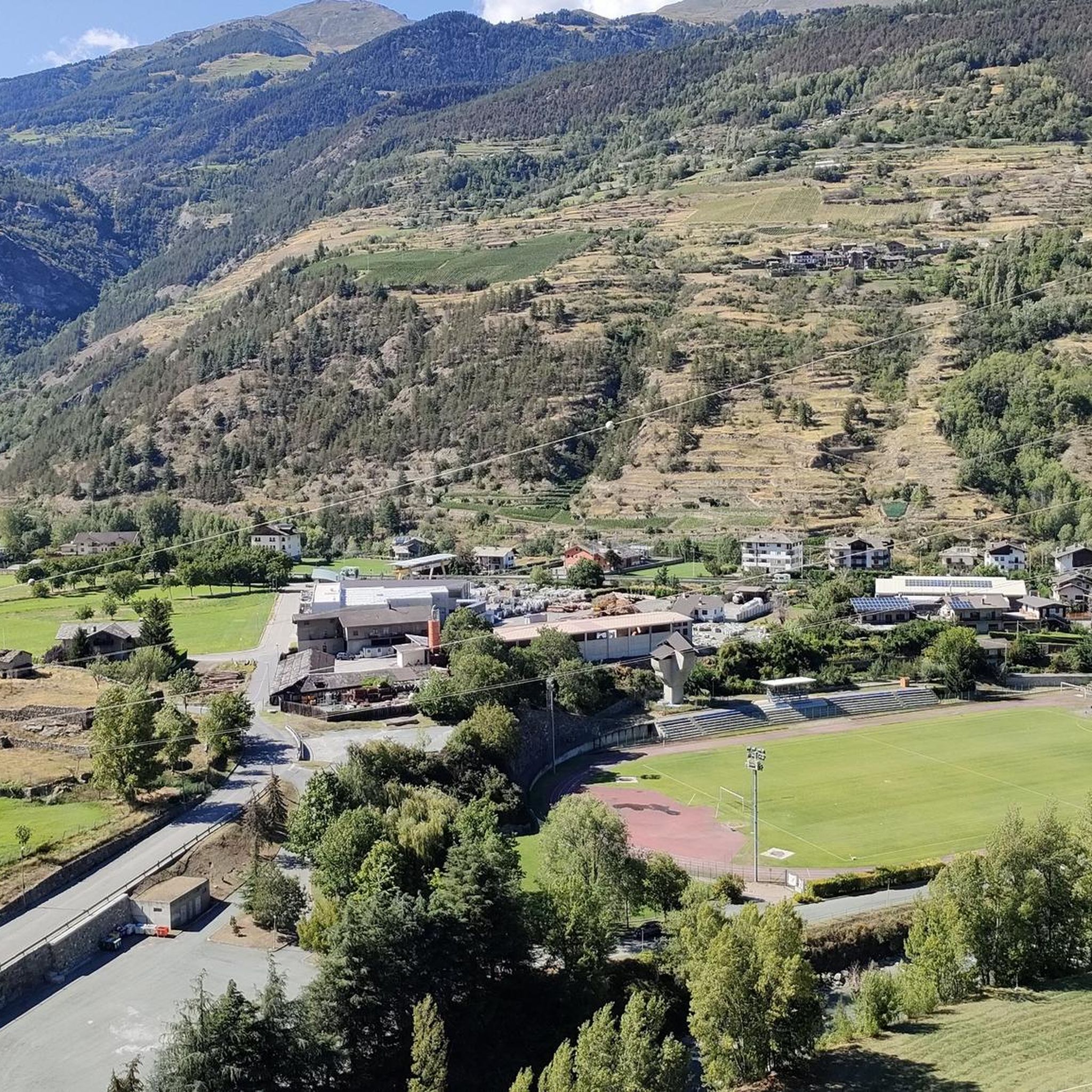
Cycling around Villeneuve
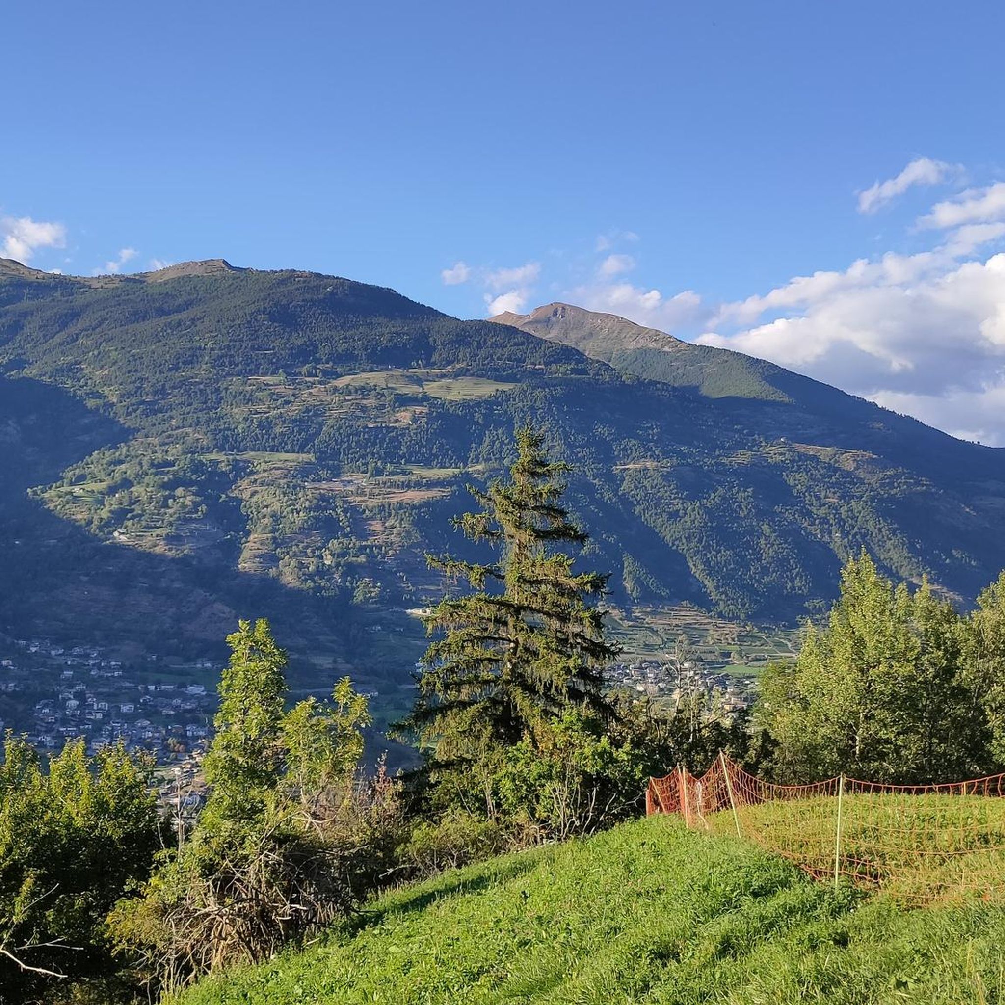
Running Trails around Villeneuve

Gravel biking around Villeneuve
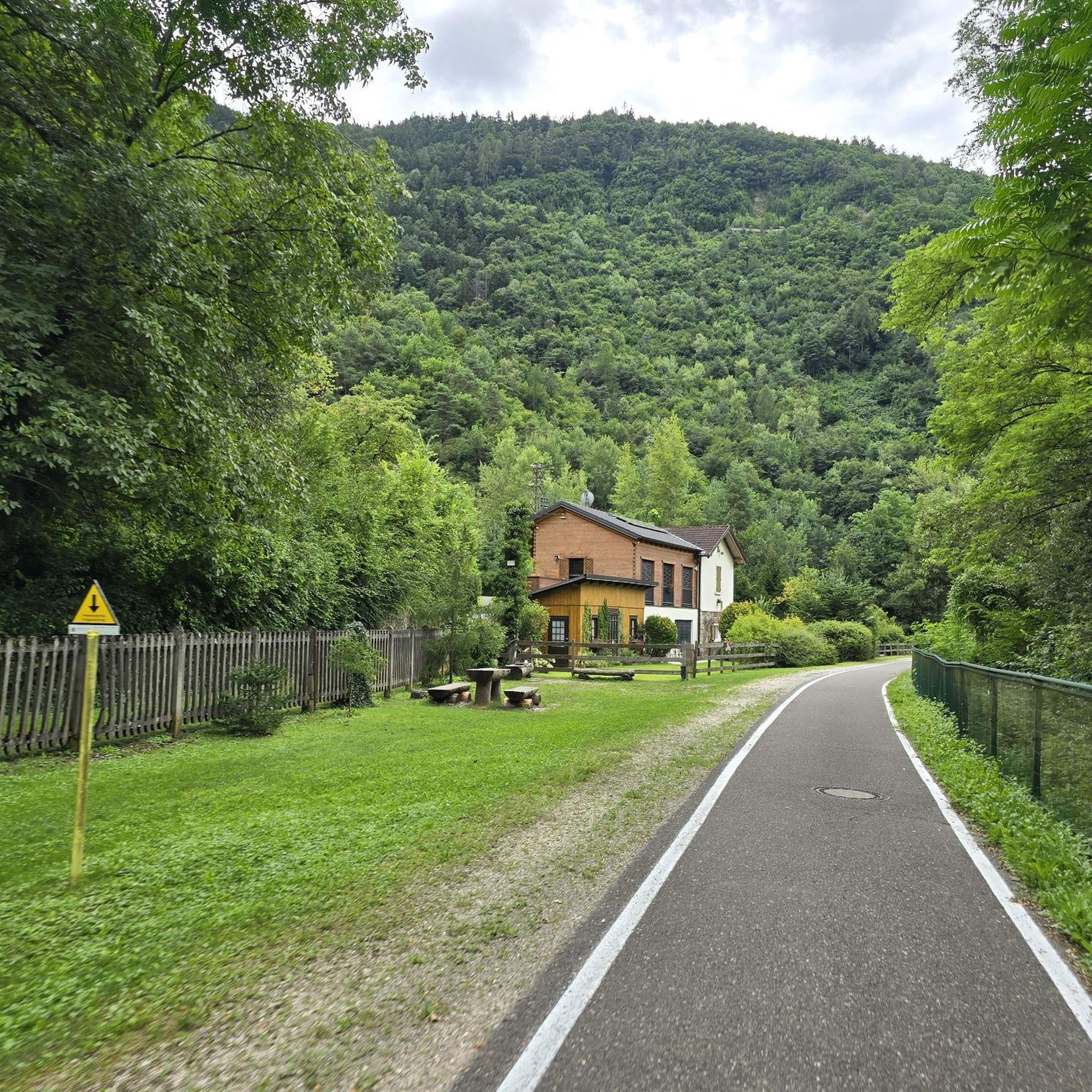
Mountain Hikes around Villeneuve
Other adventures around Villeneuve


Tips from the Community

Incorrect marking of the tunnel entrance, approx. 200m further towards Amayvilles
0
0

Definitely take the path with the tunnel crossing (probably closed for several months in winter), preferably on the way back to Aymavilles. Totally brilliant
0
0
Consequences of forest fires still clearly visible, beautiful path and tunnel currently (August 2025) open
1
0

You walk behind the waterfall. Path currently closed.
0
0


Gallery open, there are lights, additional light recommended, you can still pass without it. Tunnel is open, there is some light, but I suggest to bring one with you
0
0

Absolutely impressive, very old building - a guided tour of the interior is worthwhile!
0
0

This fantastic mule track in the woods leads from Ozein to Aymavilles and allows you to enjoy excellent views of Mont Blanc, Grivola and the Grand Combin.
0
0
Frequently Asked Questions
How many hiking trails are available around Villeneuve?
Villeneuve, located in Italy's Aosta Valley, offers a selection of over 15 hiking trails. These routes traverse alpine landscapes, river valleys, and historic Roman paths, providing diverse options for exploration.
What do other hikers enjoy most about the trails in Villeneuve?
The komoot community highly rates the trails in Villeneuve, with an average score of 4.4 stars from over 900 reviews. Hikers often appreciate the region's mountainous terrain, the historic Roman infrastructure, and the scenic paths along the Dora Baltea river.
Are there easy hiking trails suitable for beginners in Villeneuve?
While Villeneuve is known for its mountainous terrain, there are a couple of easier routes available. The region offers options for various ability levels, including some less strenuous paths that allow you to enjoy the scenery without significant challenge.
What are some challenging hikes around Villeneuve?
For those seeking a challenge, Villeneuve offers several difficult routes. Notable options include the Cammino Balteo from Villeneuve to Aymavilles (via Pont d'Ael Roman Bridge), a 9.4-mile trail, and the longer Historic mule track from Introd to Villeneuve (Cammino Balteo), spanning 14.9 miles.
Are there any circular or loop trails in Villeneuve?
Many trails in Villeneuve are designed as point-to-point routes, often following historic paths connecting villages. However, some routes, like the Forest trail to Monte Di Poignon from Champlong dessus, offer a loop experience, allowing you to return to your starting point.
What interesting landmarks or attractions can I see along the hiking trails?
Hiking in Villeneuve allows you to discover significant historical and natural landmarks. The Ancient Roman trail to Pont d'Aël aqueduct leads directly to a notable Roman aqueduct. Additionally, the region is dotted with beautiful lakes such as Lake Chamolé and Lago delle Rane, which can be explored via nearby routes.
Are there family-friendly hiking options in Villeneuve?
While the region features mountainous terrain, some trails are suitable for families. Look for routes with moderate difficulty and shorter distances. The area's natural beauty and historical sites can make for engaging family outings.
Can I bring my dog on the hiking trails in Villeneuve?
Many trails in the Aosta Valley are dog-friendly, but it's always advisable to check local regulations for specific paths, especially those passing through protected areas or private land. Keep your dog on a leash and ensure you clean up after them.
What is the best time of year for hiking in Villeneuve?
The best time for hiking in Villeneuve is typically from late spring to early autumn (May to October) when the weather is milder and trails are clear of snow. Summer offers lush landscapes, while autumn provides vibrant foliage. Winter hiking is possible but requires appropriate gear and awareness of snow conditions.
Are there viewpoint hikes offering panoramic views in Villeneuve?
Given Villeneuve's location in the mountainous Aosta Valley, many trails naturally offer stunning panoramic views of the surrounding alpine landscape and river valleys. Routes that ascend to higher elevations, such as Trail 1 from Villeneuve to Petit Poignon, are likely to provide excellent vistas.
How long do hikes in Villeneuve typically take?
Hike durations in Villeneuve vary significantly based on the trail's length and difficulty. Shorter, moderate routes like the Ancient Roman trail to Pont d'Aël aqueduct can be completed in about 2.5 hours, while more challenging and longer routes, such as the Cammino Balteo from Villeneuve to Aymavilles, can take over 6 hours.
Is public transport available to reach hiking trailheads in Villeneuve?
Villeneuve is part of the Aosta Valley's transport network. While specific trailheads might require a short walk or local bus connection, the main villages and towns are generally accessible by public transport, making it possible to reach many starting points without a car.
Most popular routes around Villeneuve
Most popular attractions around Villeneuve

Get inspired with the komoot mobile app


Explore more
Browse the best Hikes in other regions.
