The best mountain hikes around Villeneuve
5.0
(1)
37
hikers
5
hikes
Mountaineering routes around Villeneuve are situated in Italy's Aosta Valley, a region renowned for its high-alpine environment. The area is characterized by towering peaks, including iconic 'four-thousanders' like Mont Blanc and Gran Paradiso. Mountaineers can expect challenging terrain with significant elevation gains, natural climbing walls, and historic alpine paths.
Best mountaineering routes around Villeneuve
- The most popular mountaineering route is Punta della Valletta (3,090 m) – Lago di Chamolé loop from Pila, a 5.5 miles (8.9 km) trail that…
Last updated: May 11, 2026
5.0
(1)
12
hikers
8.87km
05:25
800m
800m
Hard mountaineering route. Very good fitness required. Sure-footedness, sturdy shoes and alpine experience required.
13
hikers
16.4km
08:09
1,270m
1,260m
Hard mountaineering route. Very good fitness required. Sure-footedness, sturdy shoes and alpine experience required.

Sign up for free
5
hikers
12.9km
07:55
1,350m
1,350m
Hard mountaineering route. Very good fitness required. Sure-footedness, sturdy shoes and alpine experience required.
4
hikers
12.8km
06:32
990m
980m
Hard mountaineering route. Very good fitness required. Sure-footedness, sturdy shoes and alpine experience required.
3
hikers
12.5km
05:49
890m
890m
Hard mountaineering route. Very good fitness required. Sure-footedness, sturdy shoes and alpine experience required.
Our route recommendations are based on thousands of hikes, rides, and runs completed by other people on komoot.
Start today with a free account
Your next adventure awaits.
Login or Signup
Popular around Villeneuve

Paths, castles and views of Italy’s Aosta Valley – Cammino Balteo
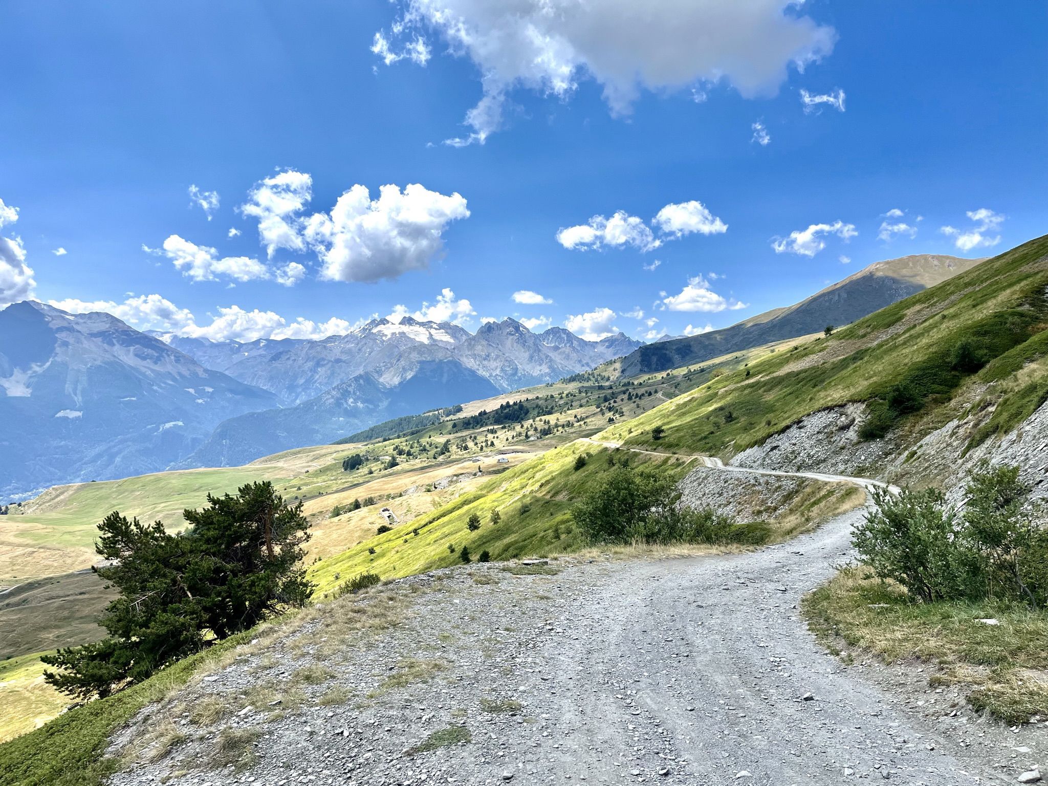
Mountain biking with a glacier backdrop – rides in Italy’s Aosta Valley
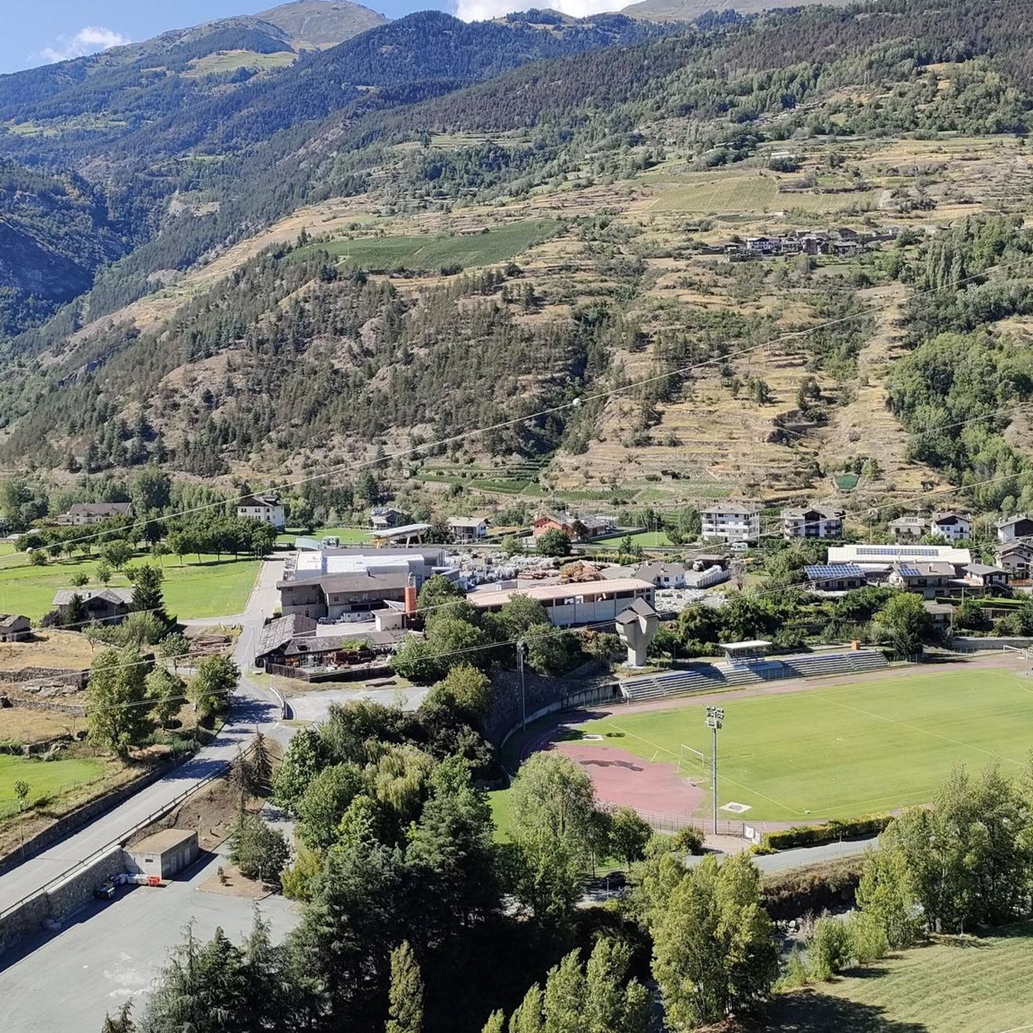
Road Cycling Routes around Villeneuve
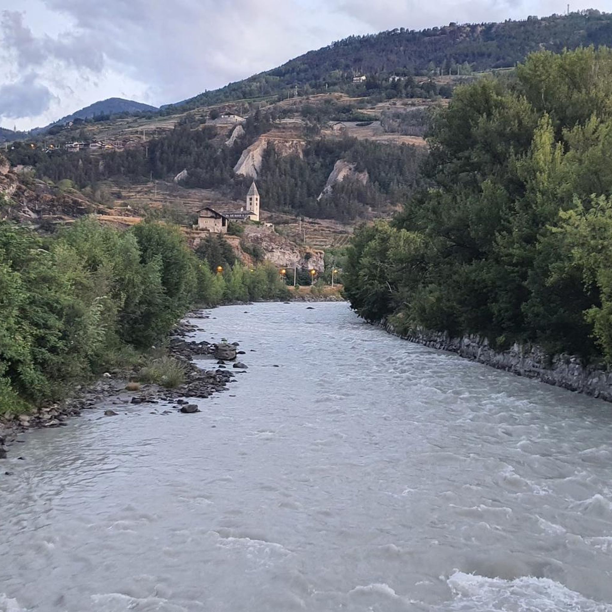
Hiking around Villeneuve
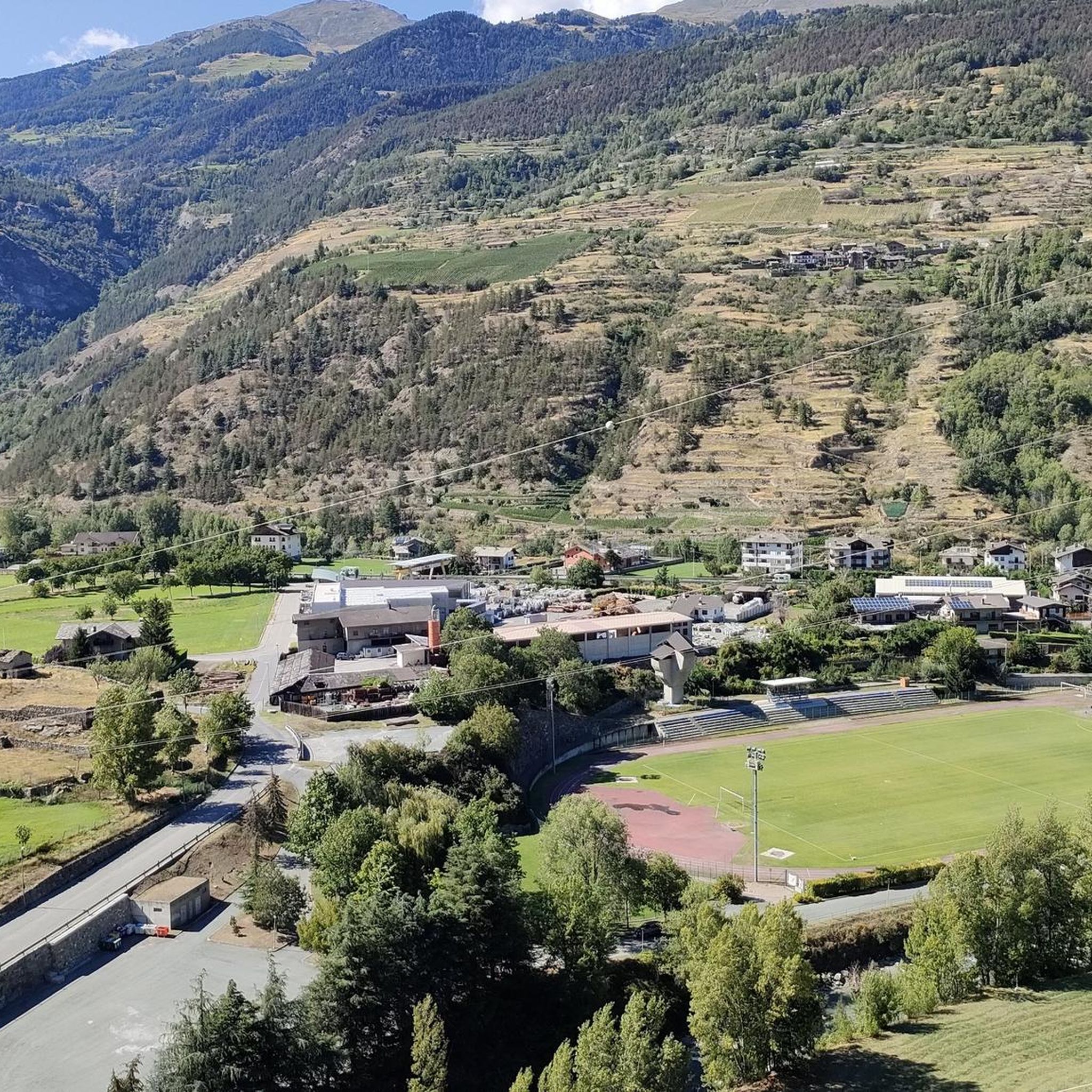
MTB Trails around Villeneuve
Cycling around Villeneuve
Running Trails around Villeneuve

Gravel biking around Villeneuve


Tips from the Community

Amazing 360 degree view of Mont Blanc, Gran Paradiso and Matterhorn.
1
0

https://youtu.be/Pxndx9TNM5U?si=mH5XT38nxmCVjLSr Push, lift, and drag until you're over it, then you have a beautiful descent to Cogne.
0
0

A fantastic view, weather permitting: Mont Blanc, Grandes Jorasses, Matterhorn, Punta Rosa. The overview board tells you where each peak is located.
0
0

Beautiful but challenging hike! A steep climb and descent. Beautiful views of the Aosta Valley. Unfortunately, there are no food or drink options at the top in Bellun. You can refill your water bottles there, though.
0
0

In May lined with alpine flowers and gentian
0
0

The Mont Fallère Refuge, at 2,385 m, is located in the valley between Mont Fallère and Monte Rosso di Vertosan. It offers 50 beds in rooms with bathrooms, and has a restaurant with typical cuisine. Open in summer, it can be reached on foot or by mountain bike.
1
1

You reach Punta Valletta, where you can sit at the base of its cross. ⚠️ In July 2024, we were unable to locate path 19A which would have closed the return loop. So we did the via ferrata again in reverse.
0
0
Frequently Asked Questions
What is the general difficulty level of mountaineering routes around Villeneuve?
Mountaineering routes in Villeneuve, situated in Italy's Aosta Valley, are generally challenging. All routes listed in this guide are rated as difficult, featuring significant elevation gains and technical sections. For example, the Wooden Chamois Sculptures loop from I galliformi involves over 4,100 feet (1,260 meters) of ascent.
Are there any circular mountaineering routes in the Villeneuve area?
Yes, several mountaineering routes around Villeneuve are circular, allowing you to start and end at the same point. Examples include the Punta della Valletta (3,090 m) – Lago di Chamolé loop from Pila and the Pointe de la Pierre loop from Pont D'Aël, both offering extensive alpine experiences.
What is the best time of year for mountaineering in Villeneuve?
The Aosta Valley, where Villeneuve is located, is a high-alpine region. While summer offers the most accessible conditions for mountaineering, the season can extend from late spring to early autumn. Ski mountaineering is popular from November to June. Always check local conditions and weather forecasts, as routes at higher altitudes may require specialized equipment like ice axes and crampons depending on the season.
What kind of natural features or attractions can I expect to see along the mountaineering routes?
The routes around Villeneuve offer stunning high-alpine scenery, including views of iconic peaks like Mont Blanc and Gran Paradiso. You might encounter beautiful alpine lakes, such as Lake Chamolé or Lago delle Rane. The region also features historic Roman paths and ancient mule tracks, adding a cultural dimension to the natural beauty.
Are there any options for winter mountaineering or ski mountaineering in Villeneuve?
Yes, Villeneuve and the broader Aosta Valley are excellent for winter mountaineering and ski mountaineering. From November to June, diverse routes are available, ranging from shorter tours on open slopes to multi-day glacier expeditions. Peaks like Gran Paradiso can even be reached on skis, offering a unique winter alpine experience.
How long do mountaineering routes around Villeneuve typically take to complete?
The duration of mountaineering routes in Villeneuve varies depending on the specific trail and your pace. For instance, the Punta della Valletta (3,090 m) – Lago di Chamolé loop from Pila typically takes around 5 hours 25 minutes, while the Lago di Chamolé – Bivacco Federigo Zullo loop from Pila can take over 7 hours.
What do other mountaineers say about the routes in Villeneuve?
The mountaineering routes around Villeneuve are highly regarded by the komoot community, with an average score of 5.0 stars from over 4 reviews. More than 52 mountaineers have used komoot to explore the varied and challenging terrain, often praising the high-alpine scenery and the demanding nature of the ascents.
Are there any less-known or 'hidden gem' mountaineering routes in the area?
While all routes in this guide are popular for their challenging nature, exploring trails like the Lago di Chamolé – Bivacco Federigo Zullo loop from Pila can offer a sense of discovery. The Aosta Valley is vast, and with certified mountain guides available, you can explore less-trafficked paths that still provide significant alpine challenges and stunning views.
Are there any facilities or cafes near the mountaineering trailheads in Villeneuve?
Villeneuve itself offers amenities. For routes starting from areas like Pila, you might find facilities or cafes, especially in the ski resort areas. However, for high-alpine routes, it's crucial to be self-sufficient and carry all necessary supplies, as services become scarce quickly once you leave the main access points.
Is Villeneuve suitable for family-friendly mountaineering?
The mountaineering routes specifically highlighted in this guide around Villeneuve are rated as difficult and involve significant elevation gain and technical terrain, making them generally unsuitable for young children or beginners. The Aosta Valley does offer other hiking opportunities, but for true mountaineering, a good level of fitness and experience is required.
Where can I find parking for mountaineering routes near Villeneuve?
Parking availability will depend on the specific trailhead. For routes starting from popular access points like Pila or Pont D'Aël, designated parking areas are usually available. It's advisable to check the starting point of your chosen route on komoot or local maps for specific parking information before you set out.
Most popular routes around Villeneuve
Most popular attractions around Villeneuve

Get inspired with the komoot mobile app


Explore more
Browse the best Mountain Hikes & Routes in other regions.
