The best walks and hikes around Lodè
4.5
(274)
1,057
hikers
18
hikes
Hiking around Lodè offers diverse experiences within Sardinia's unspoiled natural landscapes, primarily centered around the Monte Albo mountain range. This region is characterized by its distinctive grey-white limestone karst formations, which create a dramatic backdrop of steep walls and interspersed meadows. Trails often follow ancient mule tracks, providing a connection to the area's history, and lead to peaks offering panoramic views across the island. The Rio Mannu river and Sos Golleos waterfall also contribute to the natural features accessible to…
Last updated: May 11, 2026
4.8
(77)
270
hikers
4.14km
01:37
230m
230m
Moderate hike. Great for any fitness level. Mostly accessible paths. Sure-footedness required.
4.8
(53)
190
hikers
4.14km
01:39
230m
230m
Moderate hike. Great for any fitness level. Mostly accessible paths. Sure-footedness required.

Sign up for free
4.5
(27)
63
hikers
Moderate hike. Good fitness required. Mostly accessible paths. Sure-footedness required.
4.5
(27)
88
hikers
Moderate hike. Great for any fitness level. Mostly accessible paths. Sure-footedness required.
4.5
(4)
30
hikers
Moderate hike. Good fitness required. Mostly accessible paths. Sure-footedness required.
Get access to more routes and recommendations from other explorers.
Sign up for free
Already have an account?
Our route recommendations are based on thousands of hikes, rides, and runs completed by other people on komoot.
Start today with a free account
Your next adventure awaits.
Login or Signup

Tips from the Community


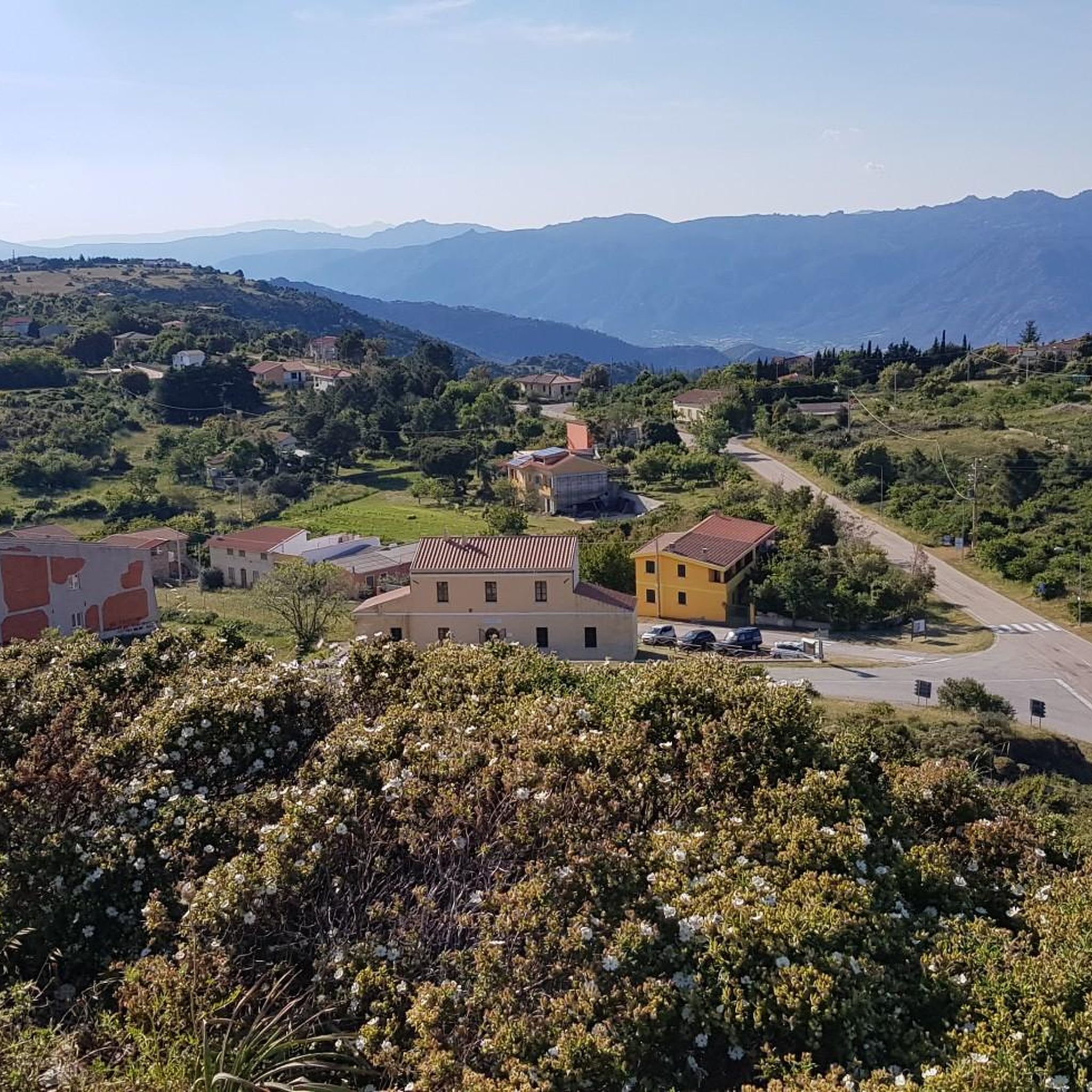
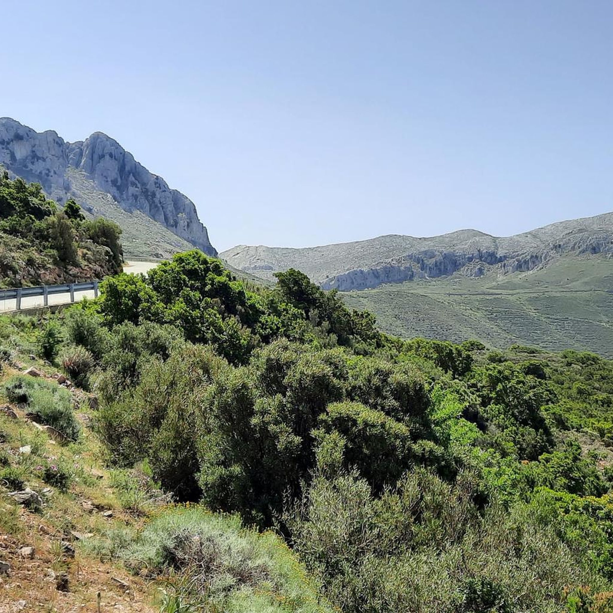
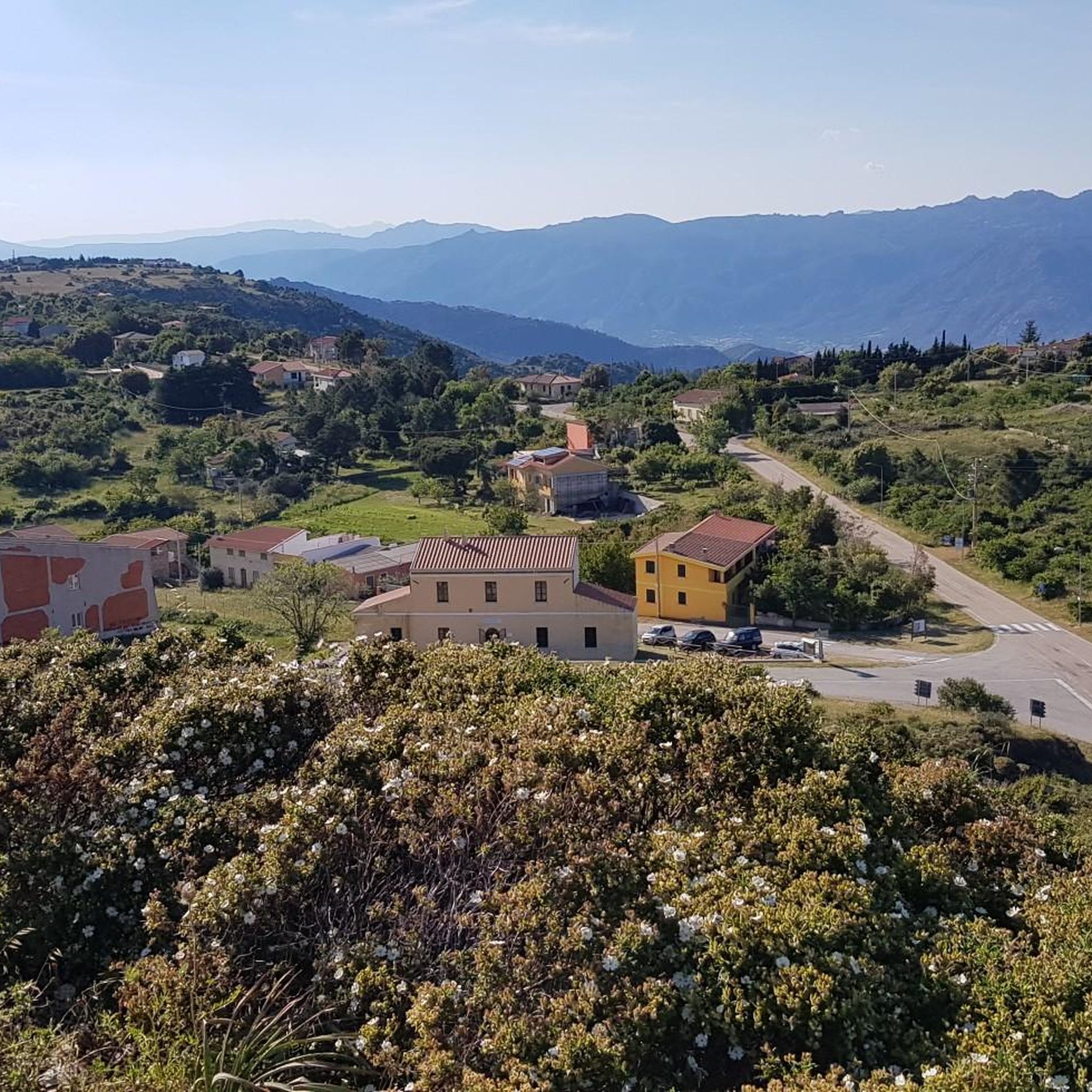
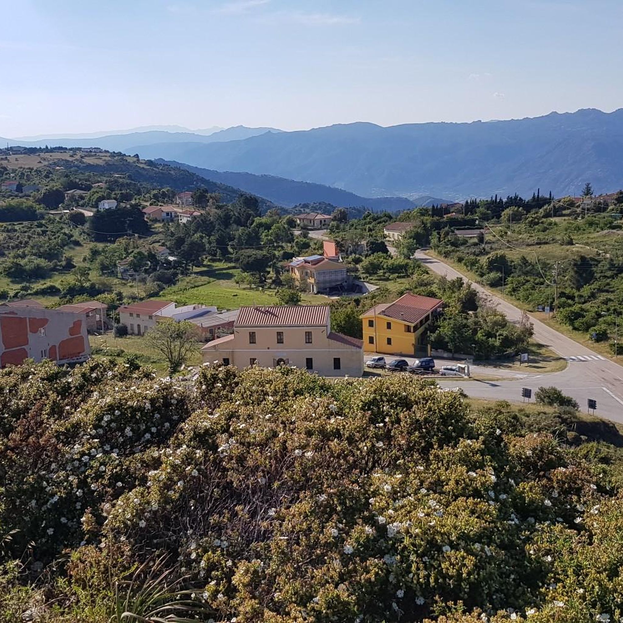
Punta Cupeti is a 1029 m high peak in the Monte Albo massif. This narrow mountain range ("white mountain") consists of grayish-white limestone. In the karstified highlands, there are hardly any trees left, only tough plants, which is what makes this landscape so appealing.
0
0

Resembles a tightrope walk, with occasional animal 🐄 visits
1
0

We also went up with the bike (MTB).. sometimes you have to push 😅
0
0
Frequently Asked Questions
What kind of hiking difficulty can I expect around Lodè?
Lodè offers a diverse range of hiking experiences. While there is one easy route, the majority of the 18 available trails are considered moderate (12 routes), with 5 routes classified as difficult. This variety ensures options for different fitness levels, from leisurely walks to challenging ascents on Monte Albo.
Are there any family-friendly hiking options near Lodè?
While many trails in the Monte Albo range can be challenging, there is at least one easy route available, which might be suitable for families. For more specific family-friendly options, consider shorter, less strenuous sections of trails or explore the historic center of Lodè itself, which offers cultural itineraries.
Can I hike with my dog in the Lodè area?
The natural landscapes around Lodè, particularly the ancient mule tracks and open spaces of Monte Albo, can be wonderful for hiking with dogs. However, always ensure your dog is kept under control, especially in areas with wildlife or livestock, and check for any specific local regulations regarding pets on trails.
Are there any waterfalls or significant natural features to see on the trails?
Yes, the region boasts beautiful natural features. Near the village, the Rio Mannu river flows, featuring the picturesque Sos Golleos waterfall. Additionally, you can find the Rio Pitrisconi Natural Pools and Waterfalls, which are notable natural monuments in the area. The entire Monte Albo range is characterized by its unique grey-white limestone karst formations.
What are the best times of year to go hiking in Lodè?
Sardinia generally offers pleasant hiking conditions outside of the peak summer heat. Spring (April-June) and autumn (September-November) are often ideal, with milder temperatures and lush landscapes. Winter hiking is also possible, but be prepared for cooler weather and potentially more challenging conditions at higher altitudes on Monte Albo.
Are there any circular hiking routes available?
Yes, several routes around Lodè are designed as loops. For example, the Punta Su Pizzu, Monte Albo – Monte Albo Summit loop from Punta Cupeti is a moderate 2.6-mile circular trail that takes about 1 hour 36 minutes to complete. Another option is the Punta Gurugius (Monte Albo) – Summit Ascent of Monte Albo loop from Punta Gurturgius, a moderate 4.4-mile loop.
What are some notable landmarks or viewpoints along the hiking trails?
The Monte Albo mountain range itself offers stunning landmarks. Peaks like Ferulargiu (1057 m) and Corru de sa Mandra (983 m) provide panoramic views across the island, including the Barbagia region, Baronia, and even Tavolara Island. You can also experience the Monte Albo Scenic Mountain Road and various panoramic viewpoints.
How long do hikes around Lodè typically take?
Hike durations vary significantly based on difficulty and length. Shorter, moderate routes like the Punta Su Pizzu, Monte Albo – Monte Albo Summit loop from Punta Cupeti can be completed in about 1 hour 36 minutes. More challenging or longer trails, such as the Punta Gurugius (Monte Albo) – View of Monte Albo loop from Punta Cupeti, might take around 2 hours 14 minutes, while expert-level hikes on Montalbo can extend to 7 hours.
Is public transport available to reach the trailheads?
While Lodè is a typical mountain village, public transport options directly to remote trailheads on Monte Albo may be limited. It's generally advisable to have private transportation to access the starting points of many hiking routes. For general travel information to the region, you might find resources on the official Sardinia tourism website.
Where can I find parking for the hiking trails?
Specific parking information for each trailhead is best found on individual route pages. However, as a general rule, parking is often available near the start of popular trails or in designated areas within or just outside the village of Lodè. Always check local signage for any restrictions.
What makes the geology of Monte Albo unique for hikers?
Monte Albo, meaning 'white mountain,' is renowned for its distinctive grey-white limestone karst formations. These geological features create a dramatic landscape of steep walls, caves, and interspersed idyllic meadows, offering a unique and visually striking environment for hikers to explore. The trails often traverse these ancient formations, providing a sense of geological history.
What do other hikers enjoy most about the trails in Lodè?
The hiking trails around Lodè are highly rated by the komoot community, with an average score of 4.5 stars from over 250 reviews. Hikers often praise the unspoiled natural landscapes, the panoramic views from the peaks, and the sense of history provided by the ancient mule tracks. The diverse terrain and unique limestone formations are also frequently highlighted.
Most popular attractions around Lodè

Get inspired with the komoot mobile app


Explore more
Browse the best Hikes in other regions.
