The best walks and hikes around Massa Marittima
4.3
(127)
648
hikers
80
hikes
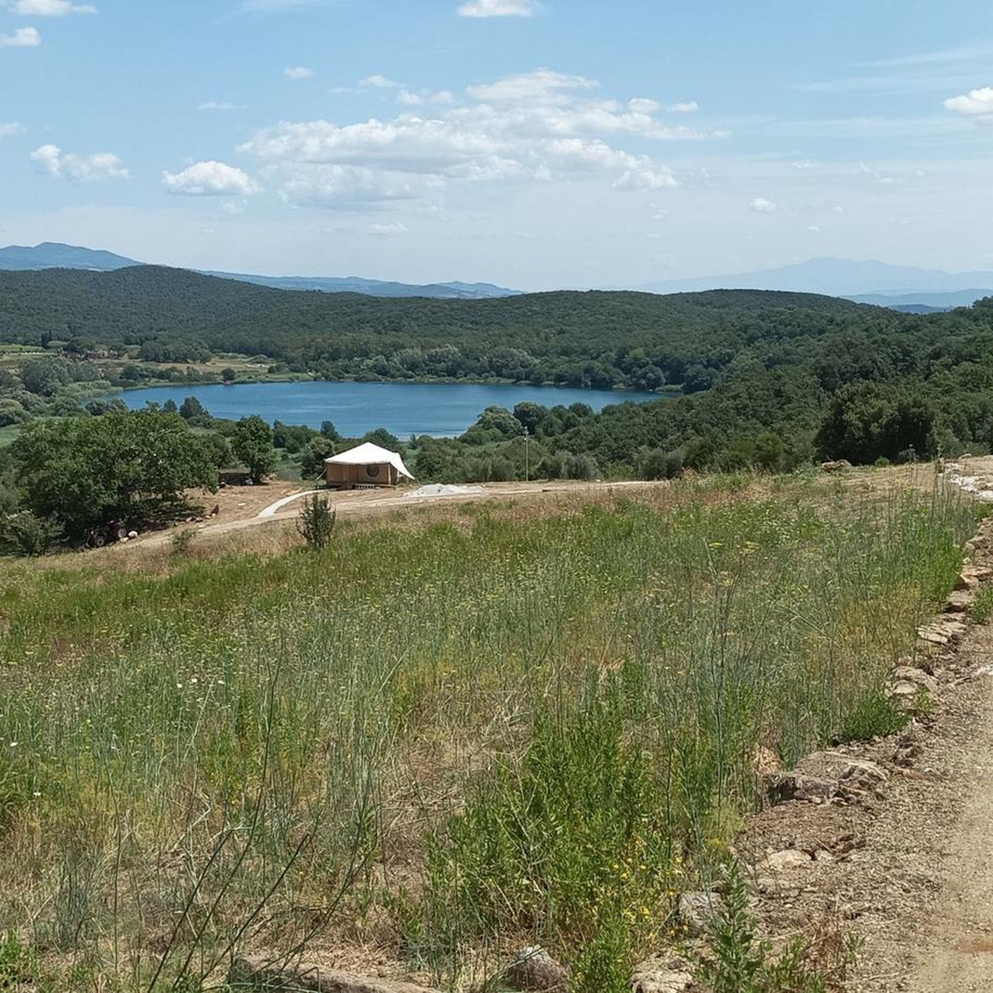
Hiking around Massa Marittima offers diverse landscapes, from hilly terrain with agricultural areas to natural vegetation and oak forests. The region features a karstic lake, Lago dell'Accesa, and areas with olive groves and vineyards. Trails traverse varied elevations, providing views of the Maremma countryside and the island of Elba. The area also holds historical significance with its mining heritage.
Best hiking trails around Massa Marittima
- The most popular hiking route is Lago dell'Accesa – Miniera della Pesta loop from Lago…
Last updated: November 8, 2026
4.2
(11)
36
hikers
10.8km
03:03
230m
230m
Moderate hike. Good fitness required. Easily walkable paths.
3.3
(12)
65
hikers
3.59km
00:56
30m
30m
Easy hike. Easily walkable paths.

4.5
(4)
19
hikers
13.7km
04:22
560m
560m
Moderate hike. Good fitness required. Easily walkable paths.
3.9
(9)
26
hikers
11.4km
03:07
180m
180m
Moderate hike. Good fitness required. Easily walkable paths.
3.8
(5)
30
hikers
8.50km
02:23
170m
170m
Moderate hike. Good fitness required. Easily walkable paths.
Get access to more routes and recommendations from other explorers.
Already have an account?
Our route recommendations are based on thousands of hikes, rides, and runs completed by other people on komoot.
Start today with a free account
Your next adventure awaits.
Popular around Massa Marittima
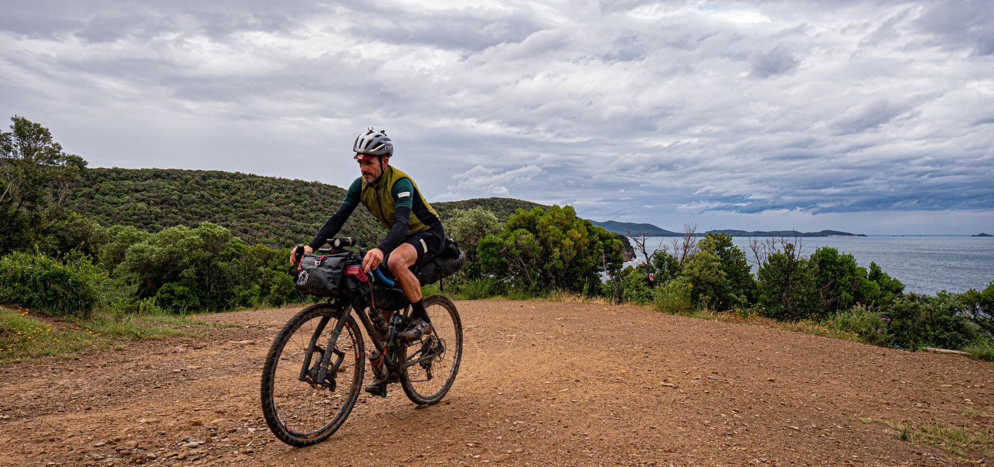
Maremma Challenge — A Tuscan, mixed terrain bikepacking loop
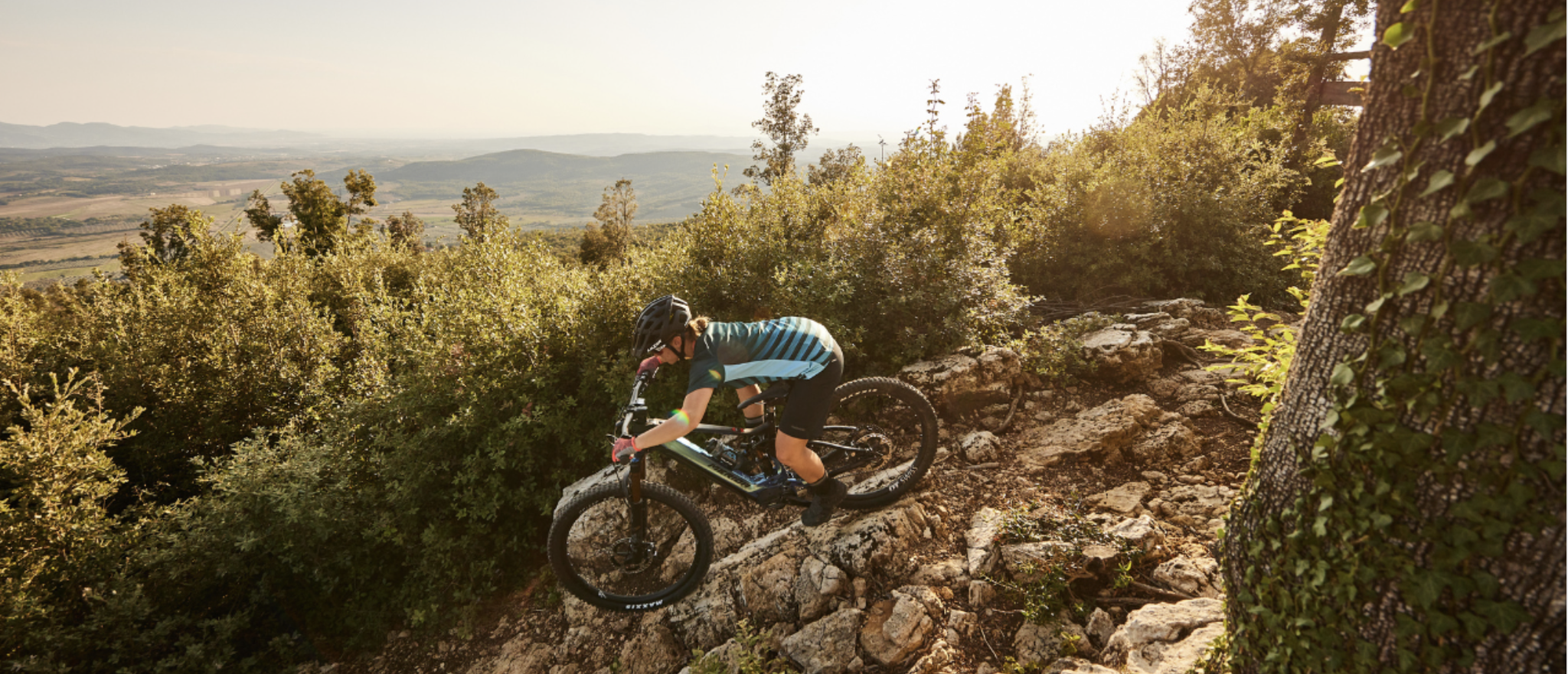
Cycling adventures in Tuscany from Pian dei Mucini Bike Resort
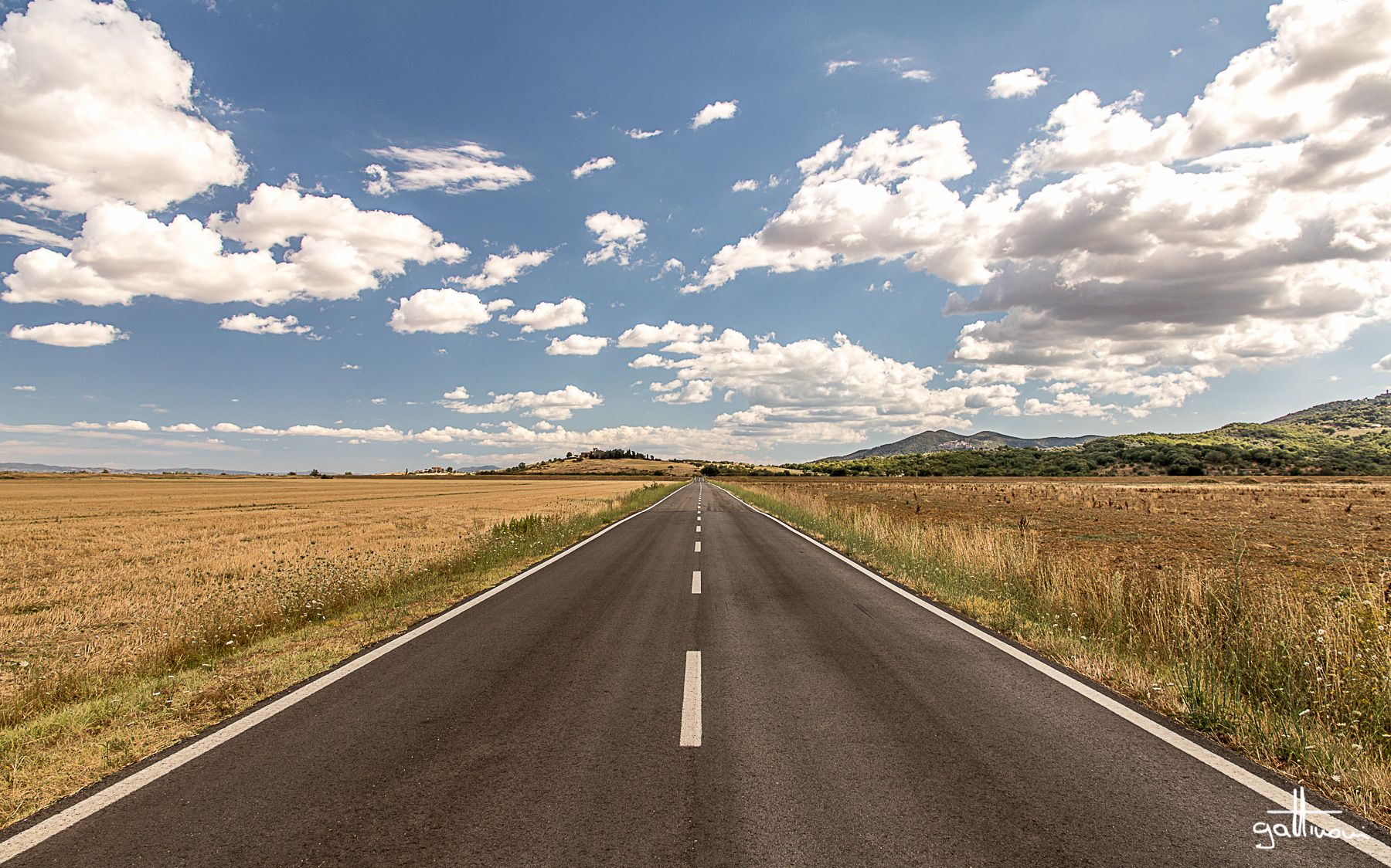
Discover a hidden side of Tuscany – Grand Tour of the Maremma
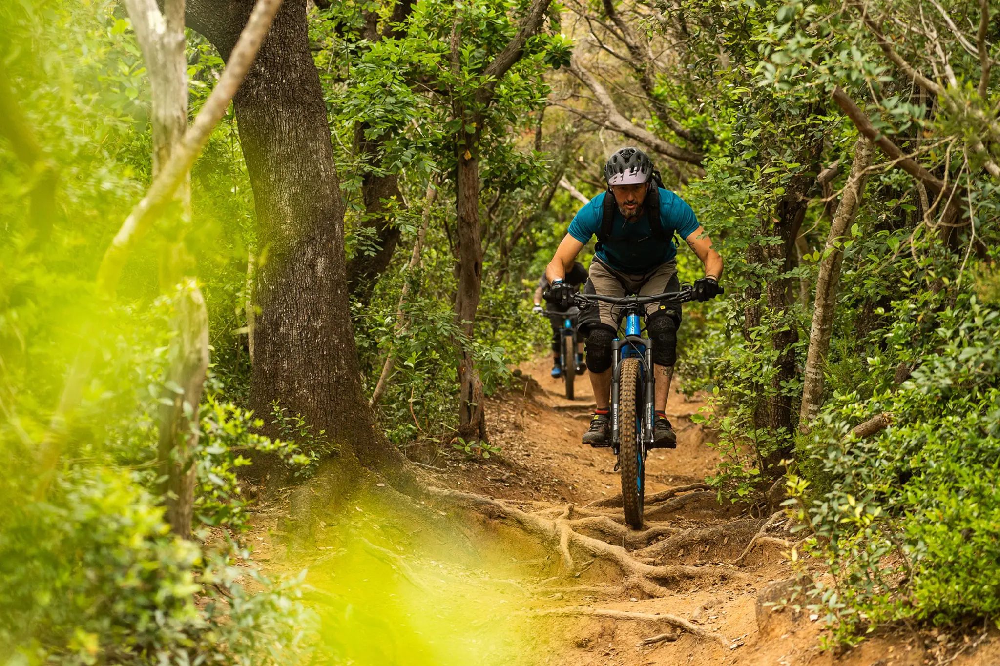
Sun, sea and adventure – MTB trails around Punta Ala
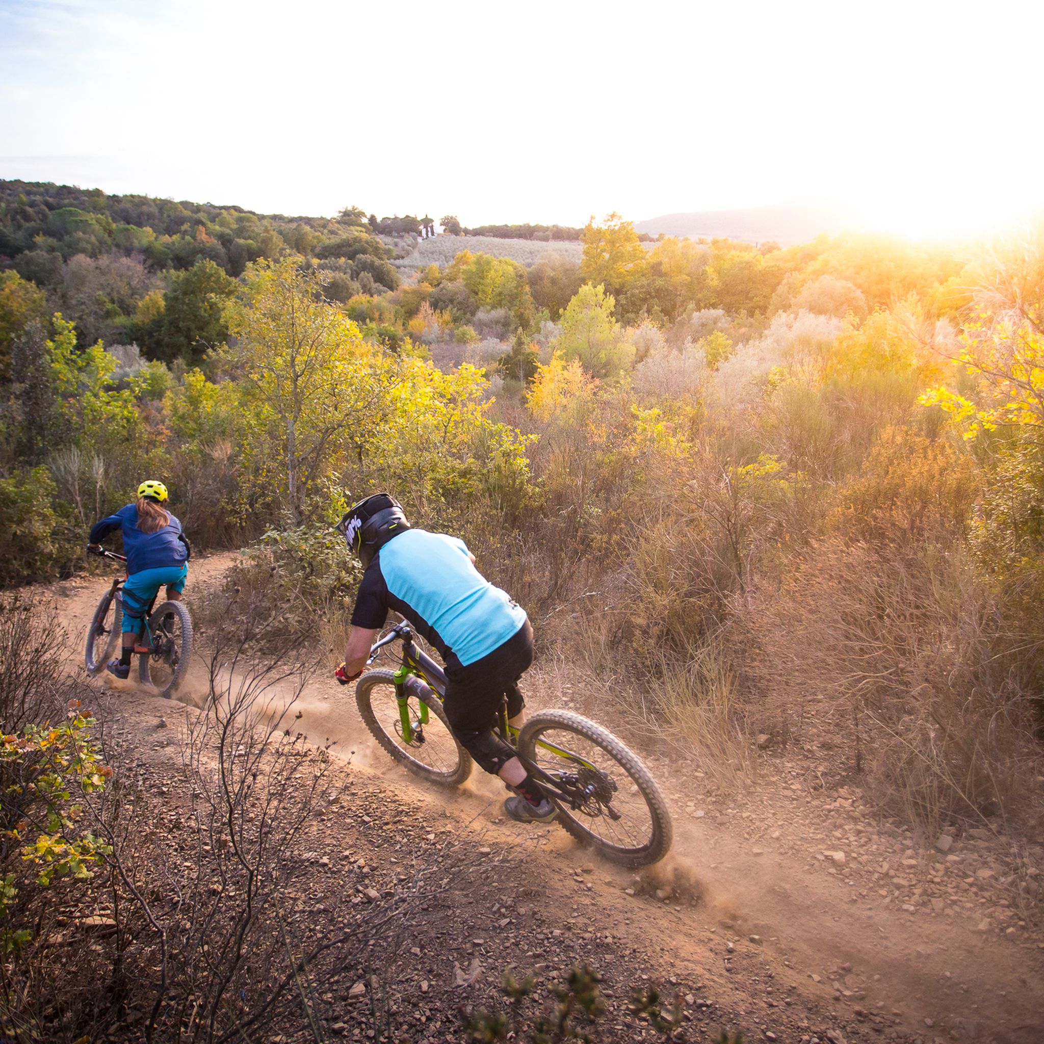
MTB Trails around Massa Marittima
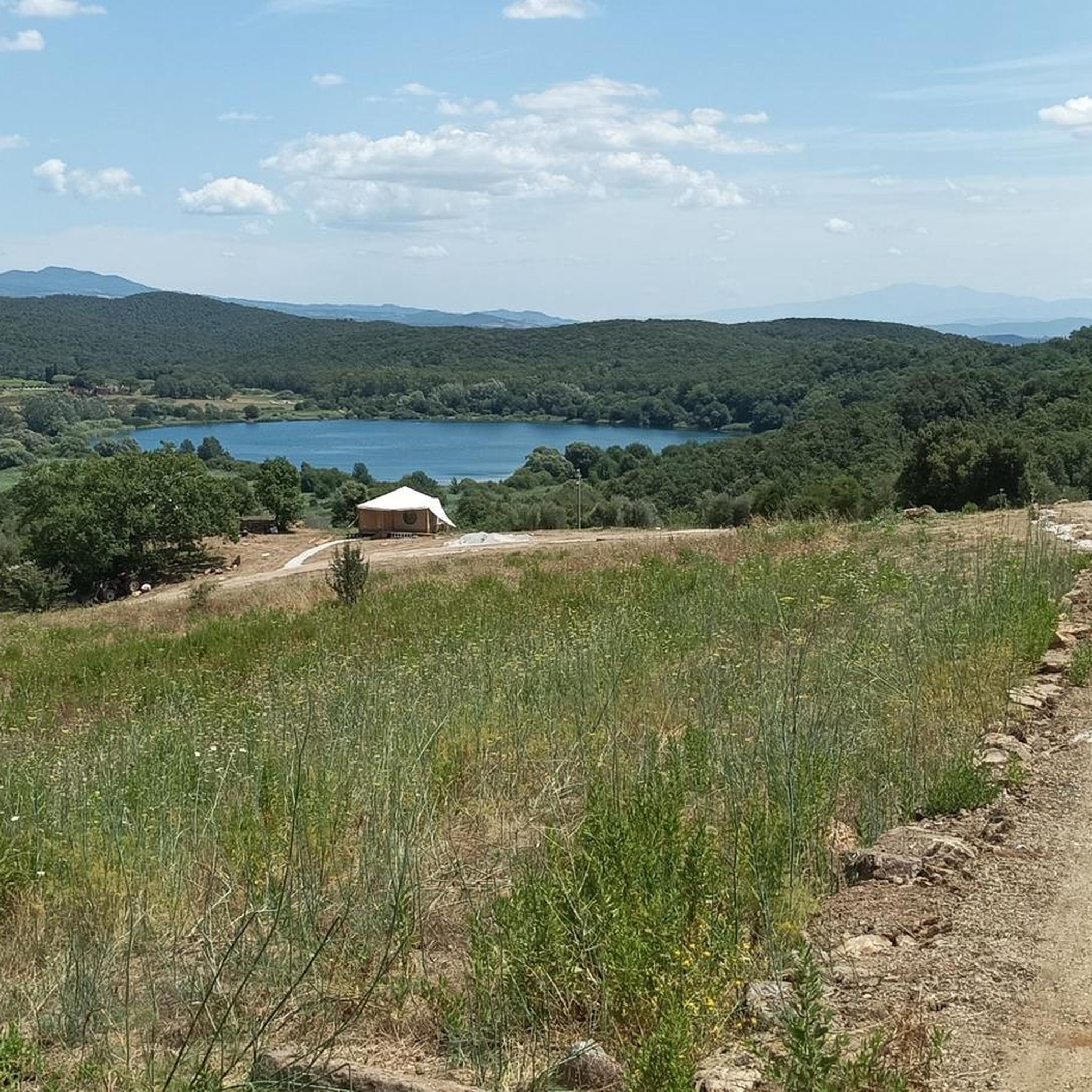
Road Cycling Routes around Massa Marittima
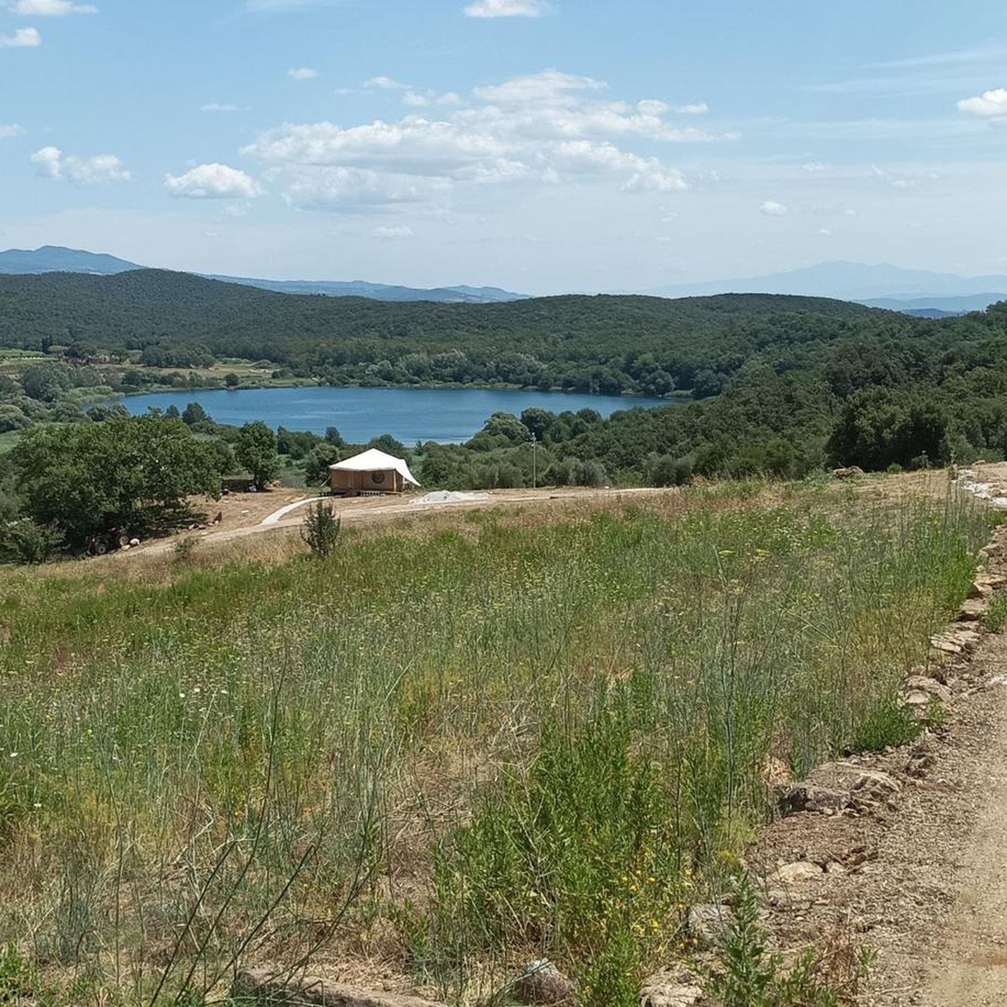
Cycling around Massa Marittima
Gravel biking around Massa Marittima
Running Trails around Massa Marittima
Other adventures around Massa Marittima


Tips from the Community

The Accesa area is also interesting from an archaeological point of view: in the Macchia del Monte locality, excavations in the 1930s and 1980s brought to light the remains of four Etruscan villages, dating from the 9th to the 6th century BC, of which only the foundations can be seen. Given the location, it is hypothesized that these villages were linked to mining, especially of copper from the Fenice Capanne and Serrabottini mines. These remains have provided evidence of significant importance and today it is possible to admire the findings at the Archaeological Museum of Massa Marittima. Furthermore, for MTB lovers, there are many trails and a territory to discover.
0
0
The Accesa area is also interesting from an archaeological point of view: in the Macchia del Monte locality, excavations in the 1930s and 1980s brought to light the remains of four Etruscan villages, dating from the 9th to the 6th century BC, of which only the foundations can be seen today. Given the location, it is hypothesized that these villages were linked to mining, especially copper from the Fenice Capanne and Serrabottini mines. These remains have provided evidence of significant importance and today it is possible to admire the artifacts at the Archaeological Museum of Massa Marittima. Furthermore, for MTB lovers, there are many trails and a territory to discover.
0
0
It originates from springs fed by Lago dell'Accesa (in the area of Loc. Serre / Forni dell'Accesa) and flows for about 42 km through the Colline Metallifere until it flows into the Tyrrhenian Sea at Castiglione della Pescaia. The Cascatelle del Bruna: Along the course of the river, there are spectacular waterfalls and characteristic travertine formations
0
0

The Bruna is an important Italian river about 42 kilometers long, located entirely in the northern part of the province of Grosseto, in Tuscany. It rises from the Colline Metallifere south of Massa Marittima, formally originating as the emissary of the picturesque Lago dell'Accesa. It flows south, skirting various localities (including the Ribolla plain) and collecting the waters of tributaries such as the Carsia stream. In its final stretch, it marks the naturalistic border between the municipalities of Grosseto, Gavorrano, and Castiglione della Pescaia. It flows into the Tyrrhenian Sea right in the town of Castiglione della Pescaia, where its terminal stretch and its outlet channel have historically been used as a canal port for boats.
2
0
But it would be good to also limit the introduction of human beings
2
0
The Archaeological Park of Lago dell'Accesa is located about 7 km from Massa Marittima (GR) and represents one of the rare, well-preserved examples of an Etruscan urban and mining settlement. The area has been inhabited since the Villanovan age (second half of the 9th – 8th century BC), with significant development of the settlement during the Orientalizing and Archaic periods (7th – 6th century BC). The settlement depended on the nearby Etruscan metropolis of Vetulonia and was closely linked to the exploitation of the mineral resources of the Colline Metallifere. The neighborhood-based settlement: The inhabited center is not a single agglomeration, but is divided into distinct neighborhoods (known as Quartiere A, B, C, D, and E), characterized by stone foundations of dwellings (3-7 rooms) and craft areas. The necropolises: Around the settlement, there are several funerary sites (Macchia del Monte, Podere del Lago, Sodacavalli, Campo al Ginepro, Podere Nuovo) with pit tombs, trench tombs with stone circles, tumulus tombs, and chamber tombs.
2
0

wonderful and welcoming village
0
0

Magical place crystal clear water
0
0
Frequently Asked Questions
How many hiking trails are available around Massa Marittima?
Massa Marittima offers a wide variety of hiking experiences, with over 75 trails recorded. These routes cater to different preferences, ranging from easy strolls to more challenging treks through diverse landscapes.
What kind of terrain can I expect on hikes in Massa Marittima?
The region around Massa Marittima features a diverse and hilly landscape. You'll encounter agricultural areas, evergreen sclerophyll copses, oak forests, and even vineyards. Trails often provide scenic views of the Maremma countryside and the island of Elba, with some routes exploring historical mining sites.
Are there easy hiking trails suitable for beginners or leisurely walks?
Yes, there are plenty of easy options. Approximately 33 of the trails are rated as easy, perfect for beginners or those seeking a relaxed outing. A great example is the Lago dell'Accesa loop from La Pesta, an easy 2.1-mile path offering a peaceful walk along the lake's banks.
Can I find challenging or difficult hikes in the area?
For more experienced hikers, Massa Marittima also offers challenging routes. There are 9 trails rated as difficult, providing significant elevation changes and longer distances. These routes often lead through rugged terrain and offer rewarding views.
Are there any circular hiking routes around Massa Marittima?
Yes, many trails in the area are circular, allowing you to start and end at the same point. The Lago dell'Accesa – Miniera della Pesta loop from Lago dell'Accesa is a popular moderate circular route, and the Monte Arsenti area is also known for its circular trails through olive groves and vineyards.
What natural attractions or landmarks can I see while hiking?
Hikers can discover a wealth of natural and historical attractions. The picturesque Lago dell'Accesa is a highlight, surrounded by oak forests. You can also explore the Marsiliana Nature Park, known for its biodiversity, or enjoy panoramic views of the Maremma from various vantage points. Some trails even lead past natural caves and galleries.
Are there family-friendly hiking options in Massa Marittima?
Absolutely. Many of the easy trails are suitable for families. The areas around Lago dell'Accesa, for instance, offer gentle paths perfect for walks with children, combining natural beauty with opportunities for picnics and refreshing stops. The Lago dell'Accesa loop from Lago dell'Accesa is another excellent family-friendly option.
Are dogs allowed on the hiking trails?
Generally, dogs are welcome on many hiking trails in the Massa Marittima region, especially in natural areas. However, it's always advisable to keep them on a leash, especially in protected areas or near wildlife, and to check specific park regulations if you plan to visit a nature reserve like Marsiliana Nature Park.
What is the best time of year to go hiking in Massa Marittima?
Spring and autumn are generally ideal for hiking in Massa Marittima, offering pleasant temperatures and vibrant landscapes. Summer can be warm, but trails around lakes or in shaded forests, and the opportunity to explore natural caves, can still make it enjoyable. Winter offers milder conditions compared to northern regions, suitable for hiking if you're prepared for cooler weather.
Are there any historical sites or cultural points of interest along the trails?
Yes, the region is rich in history. Lago dell'Accesa is also an Archaeological Park of Etruscan Civilization. Massa Marittima itself has a significant mining heritage, with trails that offer a glimpse into the region's past, including old mine shafts. You can also visit the Massa Marittima Historic Center, which is a highlight in itself.
How well-marked are the hiking trails in Massa Marittima?
The hiking trails in the Massa Marittima area benefit from a well-established CAI (Club Alpino Italiano) trekking signage system. This helps hikers navigate and discover the natural beauty of the region with confidence, ensuring routes are generally easy to follow.
What do other hikers say about the trails in Massa Marittima?
The hiking routes in Massa Marittima are highly regarded by the komoot community, with an average score of 4.3 stars from over 100 reviews. Hikers often praise the diverse landscapes, the well-maintained paths, and the blend of natural beauty with historical interest found throughout the region.
Are there waterfalls to see on hikes in Massa Marittima?
While the region is not primarily known for large waterfalls, some routes may feature smaller cascades, especially after rainfall. For example, the Cascate della Bruna – Lake of the Tenuta del Fontino loop from Lago dell'Accesa suggests the presence of such features, offering a refreshing element to your hike.
Most popular routes around Massa Marittima
Most popular attractions around Massa Marittima

Get inspired with the komoot mobile app


Explore more
Browse the best Hikes in other regions.
