The best MTB trails in the Southern Uplands Mountains
4.4
(321)
9,901
riders
251
rides
Mountain biking in the Southern Uplands Mountains offers diverse terrain across rolling hills, expansive moorlands, and wild forests. This region, characterized by numerous hill ranges like the Galloway Hills and Cheviot Hills, provides a variety of experiences from challenging climbs to scenic, long-distance routes. The landscape features extensive areas of open moorland and heathered moors, with many lochs and rivers adding to the natural beauty. The Southern Uplands are less populous than other Scottish regions, offering a sense of remoteness…
Last updated: October 10, 2026
4.1
(8)
333
riders
25.5km
02:31
560m
550m
Hard mountain bike ride. Good fitness required. Advanced riding skills necessary. Some portions of the route may require you to push your bike.
4.8
(8)
137
riders
17.7km
01:47
480m
480m
Challenging 11.0-mile mountain bike trail in Innerleithen with significant climbs and technical descents, offering great views from Minch Mo

4.5
(2)
12
riders
39.4km
03:33
900m
900m
Moderate mountain bike ride. Good fitness required. Suitable for all skill levels.
3.0
(2)
6
riders
38.1km
03:48
1,020m
1,020m
This difficult 23.7-mile mountain biking loop near Peebles offers challenging terrain and scenic views across the Tweed Valley.
3.0
(1)
2
riders
20.9km
02:16
580m
580m
The Glentrool Big Country Ride is a moderate 13.0-mile (20.9 km) mountain biking route in Galloway Forest Park, offering challenging climbs
10
riders
16.9km
01:59
770m
770m
Moderate mountain bike ride. Good fitness required. Advanced riding skills necessary.
3.0
(1)
3
riders
44.6km
03:57
810m
810m
Moderate mountain bike ride. Good fitness required. Suitable for all skill levels.
4.0
(2)
14
riders
19.1km
01:30
260m
260m
This easy 11.9-mile (19.1 km) mountain bike loop from Newton Stewart explores the renowned Kirroughtree trails in Galloway Forest Park.
5.0
(1)
7
riders
66.6km
04:54
1,040m
1,040m
Hard mountain bike ride. Very good fitness required. Advanced riding skills necessary.
2
riders
40.2km
03:39
1,020m
1,020m
This difficult 25.0-mile mountain biking loop around Daer Reservoir offers 3345 feet of elevation gain and takes about 3 hours and 38 minute
Get access to more routes and recommendations from other explorers.
Already have an account?
Our route recommendations are based on thousands of hikes, rides, and runs completed by other people on komoot.
Start today with a free account
Your next adventure awaits.
Popular around Southern Uplands Mountains
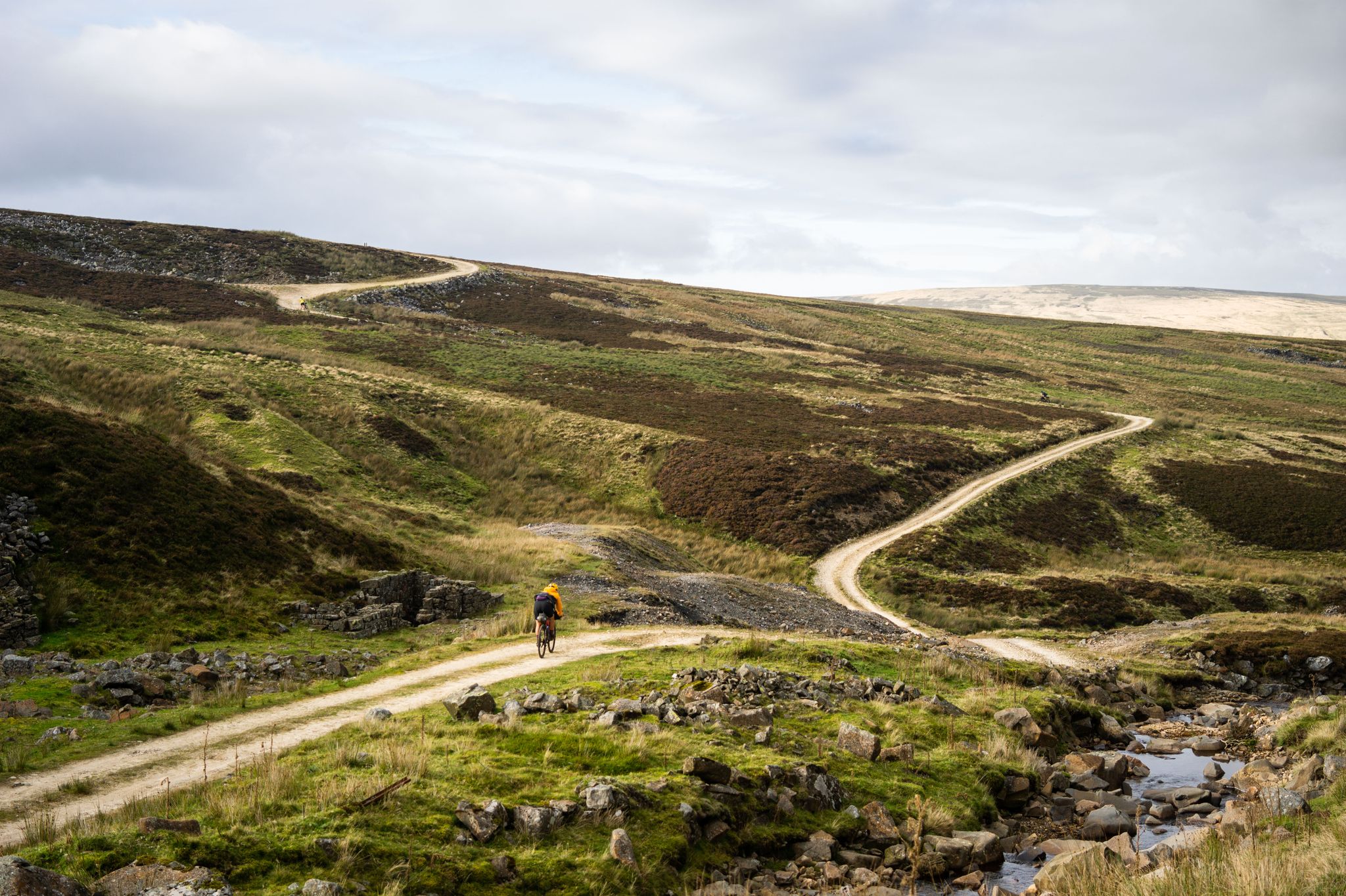
Second City Divide — Rough Stuff Of The North
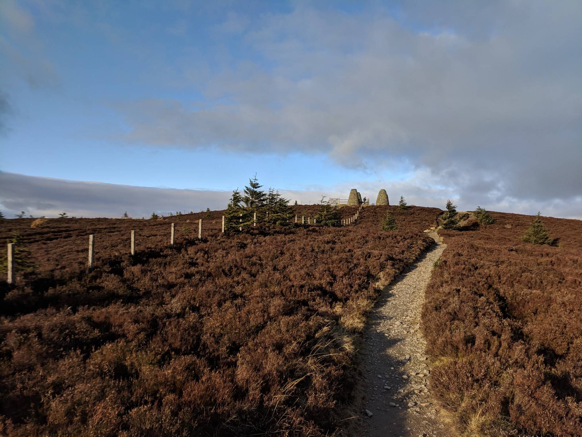
The Central Belter — Gravel trails of the coast and Cairngorms
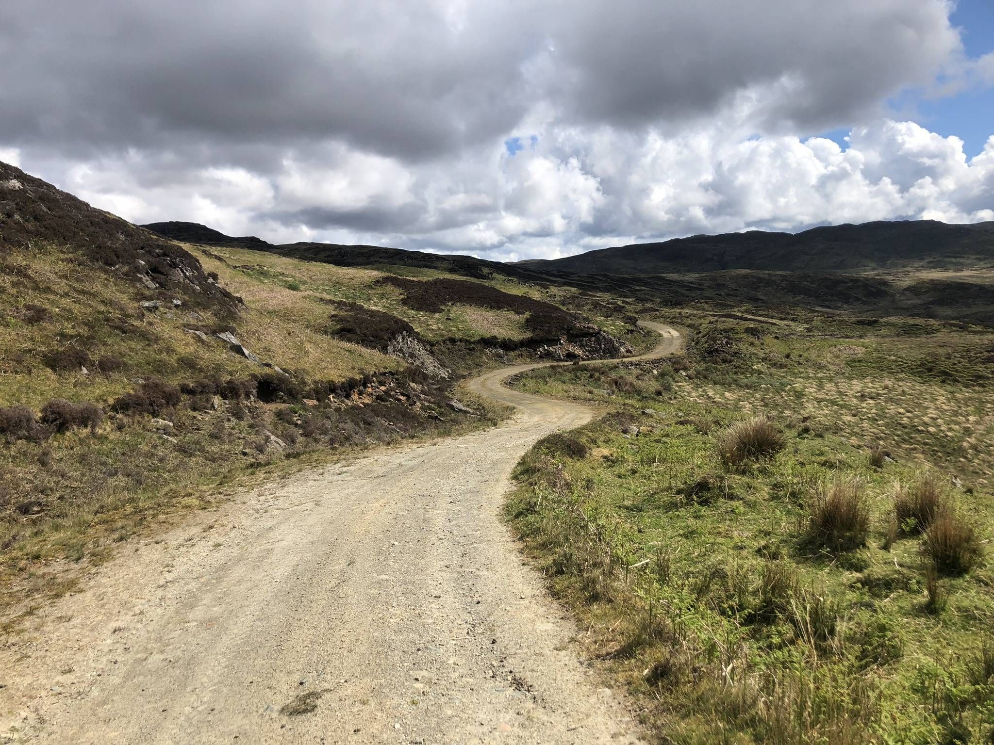
The Faultline Trail — Scotland tip to tip
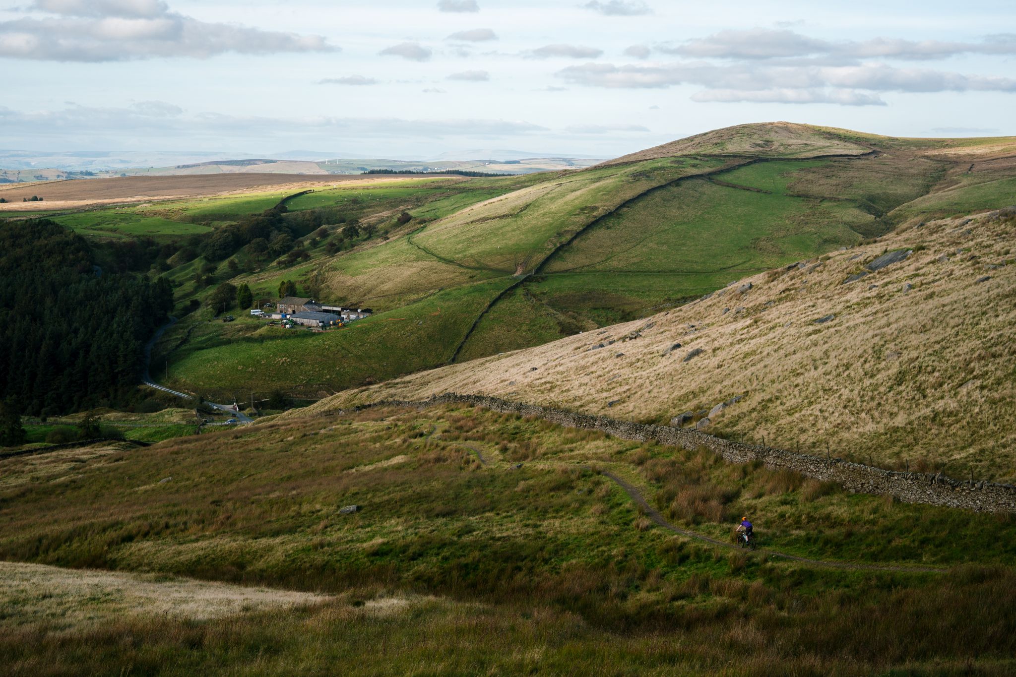
Great North Trail — From the Pennine Hills to the tip of Scotland
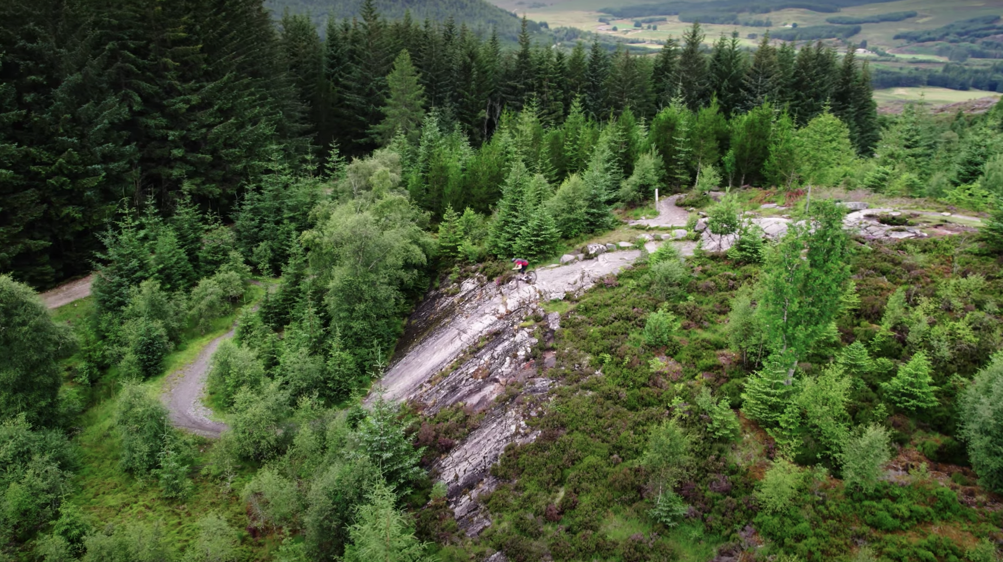
Scotty's Scotland Showcase — A sustainable tour of the country's best trails
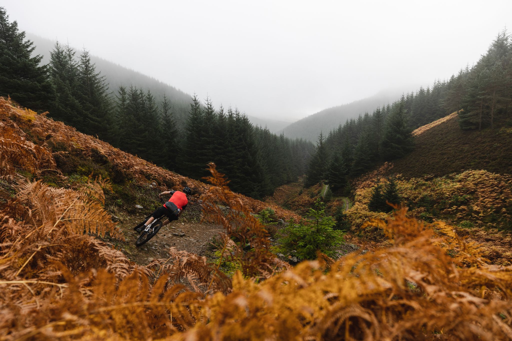
The Tweed Valley — Scotty's Scotland Showcase
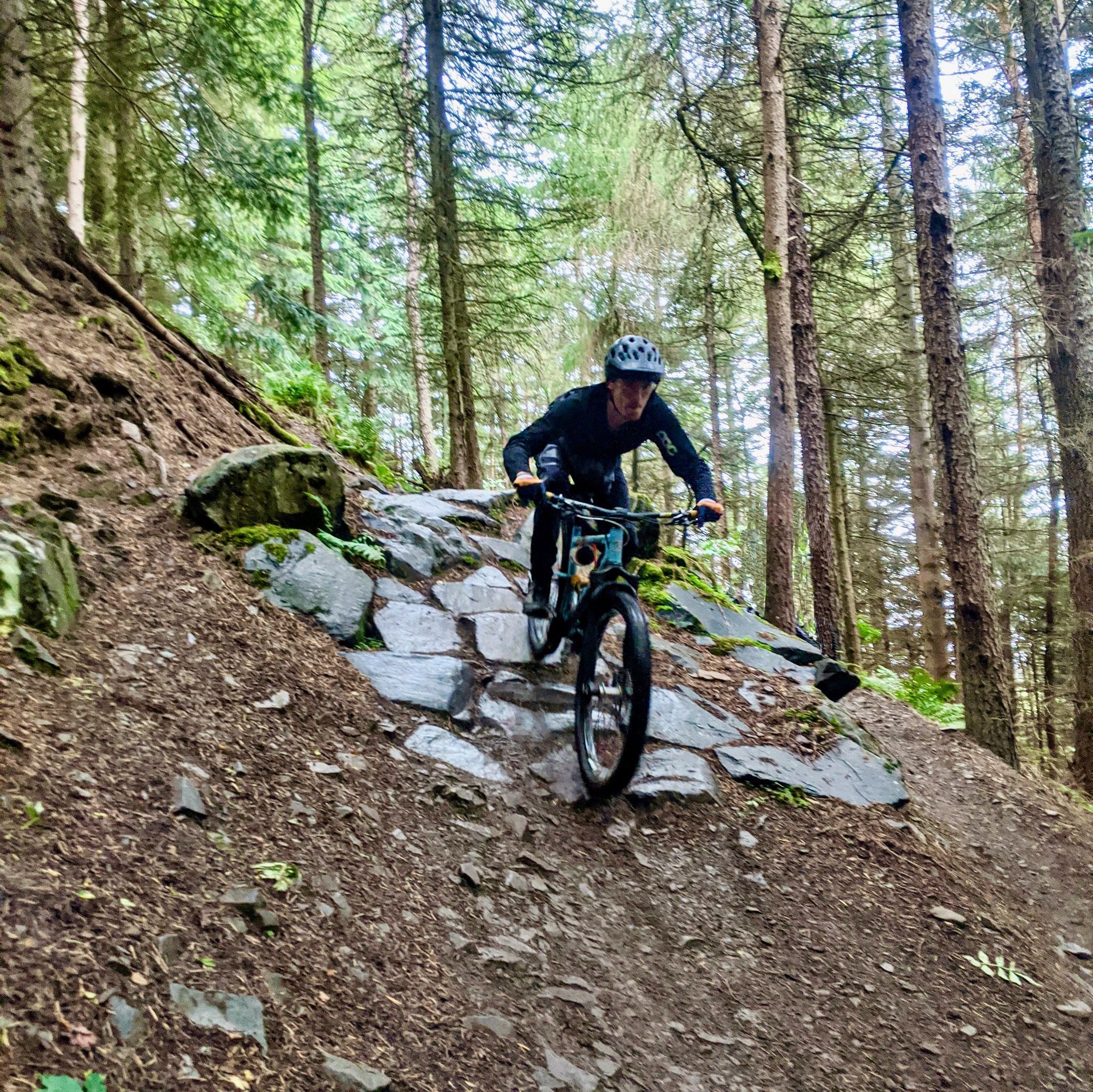
Innerleithen — World-class 7Stanes MTB in the Tweed Valley
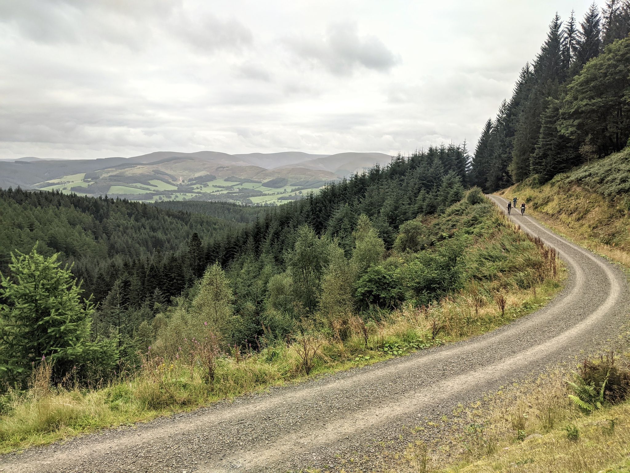
Glentress Forest — 7Stanes mountain biking in the Tweed Valley
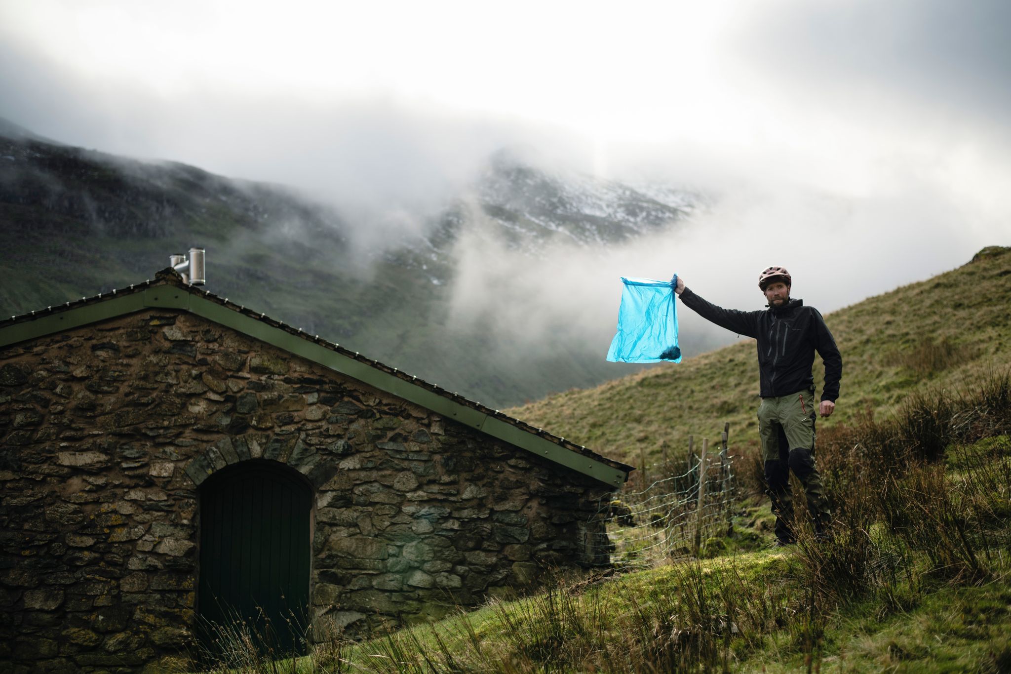
The Trash Free Trails Autumn Litter Watch
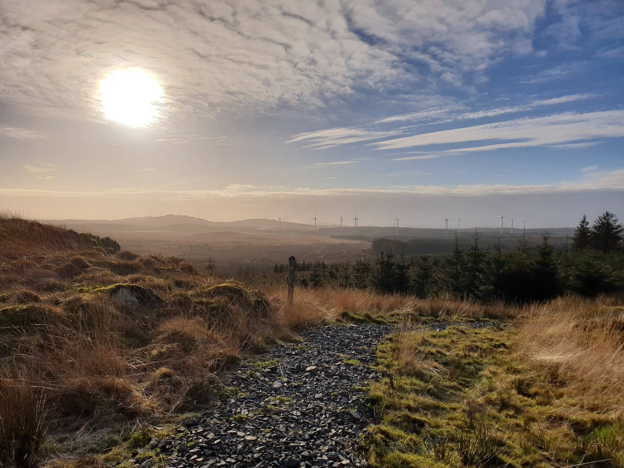
Bikepacking the breadth of the Borderlands — Southern Upland Way
Other adventures in the Southern Uplands Mountains


Tips from the Community


This excursion from the Southern Upland Way and the Cross Borders Drove Road is well worth the effort. On a clear day, you can see the hills surrounding the Tweed and Yarrow valleys. It's a special feeling, standing in a place where travelers, shepherds, and (Roman) armies passed through centuries ago.
0
0

Heading North, the climb is great - very steep but a decent surface - but the descent is not fun without suspension. Lots of dried cow hoofprints and grassy knolls when I did it
0
0

I had my head torch which only just let me see through the pitch blackness. I wouldn't want to come through here late at night as it's very creepy.
1
0
This tunnel is pitch black and goes on for a fair distance,bring a good head torch or bike lights.
0
0

Long and steady, but always a manageable gradient.
0
0

From this viewpoint near Minch Moor summit, you are afforded wonderful panoramic views of the surrounding landscape. On a clear day, you can see the rolling hills and valleys of the Scottish Borders region, with the Tweed Valley stretching out before you. You may also spot towns and villages such as Peebles and Innerleithen nestled among the greenery.
1
0

I had my lights with me this time. The Neiderpath tunnel has water dropping from above onto you, just like rain
0
0
Frequently Asked Questions
How many mountain bike trails are available in the Southern Uplands Mountains?
The Southern Uplands Mountains offer a wide variety of mountain bike trails, with over 270 routes available on komoot. These range from easy, family-friendly rides to challenging, technical trails, catering to all skill levels.
Are there mountain bike trails suitable for beginners or families in the Southern Uplands Mountains?
Yes, the Southern Uplands Mountains have numerous options for beginners and families. There are over 50 easy mountain bike routes available. A great option is the Kirroughtree trails loop from Newton Stewart, an easy 11.9-mile (19.1 km) route with minimal elevation gain, perfect for a relaxed ride.
Where can I find challenging mountain bike trails in the Southern Uplands Mountains?
For experienced riders seeking a challenge, the Southern Uplands Mountains offer over 100 difficult mountain bike routes. The Peebles to Drumelzier loop is a demanding 23.7-mile (38.1 km) trail with over 1000 meters of elevation gain. Another option is the Southern Upland Way: Daer Reservoir Loop, a difficult 25-mile (40.2 km) route that provides significant climbs and remote sections.
Are there any circular mountain bike routes in the Southern Uplands Mountains?
Many of the mountain bike trails in the Southern Uplands Mountains are circular, allowing you to start and finish at the same point. Examples include the Newton Stewart to Loch Trool loop, a moderate 27.7-mile (44.6 km) ride, and the Fruid Reservoir and Meggett Water loop from Broughton, a difficult 41.4-mile (66.6 km) route.
What kind of natural attractions can I see along the mountain bike trails?
The Southern Uplands Mountains are rich in natural beauty. You can encounter impressive waterfalls like the Grey Mare's Tail Waterfall, which plunges 60 meters near Loch Skeen. The region also features numerous lochs, especially in the western parts, such as Loch Trool within Galloway Forest Park. For stunning views, consider routes near peaks like The Merrick Summit or Cairnsmore of Fleet Summit Trig Point.
Are there any historical sites or landmarks to explore while mountain biking?
Yes, the Southern Uplands Mountains offer several historical sites. You can ride past impressive structures like Drumlanrig Castle, a grand estate near Thornhill, or explore the ruins of Loch Doon Castle. The region also has ancient standing stones and charming villages, adding cultural interest to your ride.
What do other mountain bikers say about the trails in the Southern Uplands Mountains?
The mountain bike trails in the Southern Uplands Mountains are highly rated by the komoot community, with an average score of 4.5 stars from over 240 reviews. More than 10,000 mountain bikers have used komoot to explore the varied terrain, often praising the extensive network of routes, the sense of remoteness, and the diverse landscapes from rolling hills to wild forests.
What is the best time of year for mountain biking in the Southern Uplands Mountains?
The Southern Uplands Mountains offer mountain biking opportunities throughout the year. Spring and autumn provide pleasant temperatures and vibrant scenery, while summer allows for longer daylight hours. Winter riding is possible, but be prepared for colder, potentially wet conditions and shorter days. Always check local weather forecasts before heading out.
Are there specific trail centers for mountain biking in the region?
Yes, the Southern Uplands are home to parts of the renowned 7stanes mountain biking centres. Notable locations include Glentress and Innerleithen. The Glentress Trail Centre loop from Peebles is a popular 15.8-mile (25.5 km) route, and the Innerleithen XC Trail is an 11-mile (17.7 km) path known for its climbs and technical sections.
Can I find mountain bike routes that pass by pubs or places to eat?
While specific routes passing directly by pubs aren't detailed in the data, many trails start or finish near towns and villages where you can find local establishments. For example, routes like the Drumlanrig Castle loop from Thornhill begin near Thornhill, which offers amenities. It's always a good idea to check the map for nearby services when planning your ride.
What kind of wildlife might I encounter while mountain biking in the Southern Uplands Mountains?
The Southern Uplands Mountains, with their expansive moorlands, wild forests, and lochs, are home to diverse wildlife. You might spot various bird species, including raptors, and potentially deer or other mammals in the more remote areas. Galloway Forest Park, a Dark Sky Park, also offers exceptional stargazing opportunities, adding to the natural experience.
Most popular routes in the Southern Uplands Mountains
Most popular attractions in the Southern Uplands Mountains

Get inspired with the komoot mobile app


Explore more
Browse the best MTB trails in other regions.
