The best running trails around Bagno Di Romagna
3.8
(20)
542
runners
47
runs
Jogging around Bagno Di Romagna offers diverse routes within the Tuscan-Romagna Apennines, primarily in the Foreste Casentinesi, Monte Falterona, Campigna National Park. The landscape features extensive woodlands, mountains, and picturesque bodies of water like Lake Ridracoli and the Savio River. This region provides a network of trails with varying elevations, from challenging mountain paths to more leisurely forest loops. The area is characterized by its natural beauty, making it suitable for a range of running experiences.
Best jogging routes around…
Last updated: July 20, 2026
22
runners
12.0km
02:23
580m
580m
This difficult 7.5-mile (12.0 km) jogging loop near Bagno di Romagna offers 1912 feet (583 metres) of elevation gain and panoramic views.
1.5
(2)
61
runners
36.5km
06:10
1,940m
1,940m
Hard run. Very good fitness required. Sure-footedness, sturdy shoes and alpine experience required.

Sign up for free
46
runners
7.92km
00:49
40m
40m
Moderate run. Good fitness required. Mostly paved surfaces. Suitable for all skill levels.
3.0
(1)
36
runners
18.4km
03:14
1,000m
1,000m
Hard run. Very good fitness required. Sure-footedness, sturdy shoes and alpine experience required.
5.0
(1)
34
runners
17.2km
02:51
840m
840m
Hard run. Very good fitness required. Sure-footedness, sturdy shoes and alpine experience required.
Get access to more routes and recommendations from other explorers.
Sign up for free
Already have an account?
Our route recommendations are based on thousands of hikes, rides, and runs completed by other people on komoot.
Start today with a free account
Your next adventure awaits.
Login or Signup
Popular around Bagno Di Romagna



Tips from the Community

Here the splendor of nature, unaltered over millennia, as in Sasso Fratino, meets the needs of man who, with the collected waters of the Bidente river, after 13 years of studies, created the dam in 1982, intended to quench the thirst of all of Romagna in the worst moments of drought, a splendid example of integration between man and the environment.
0
0
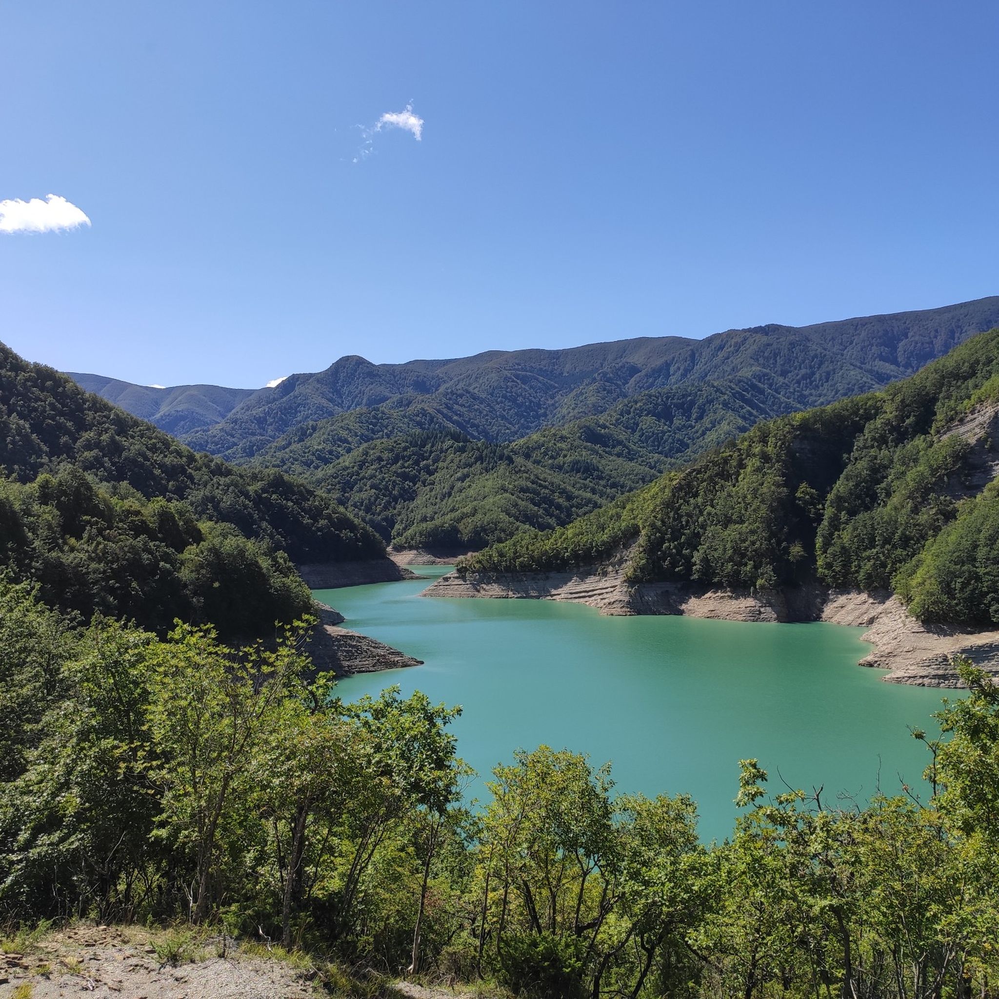
In the heart of the Casentinesi Forests National Park, an imposing and fascinating dam has given rise to a suggestive lake surrounded by pristine forests, creating a unique ecosystem where nature and engineering coexist in perfect harmony; here it is possible to take boat or canoe excursions, mountain bike or e-bike itineraries, or combine them into a single solution throughout the day in the famous Casentinesi Forests Triathlon, but only for the most trained.
0
0
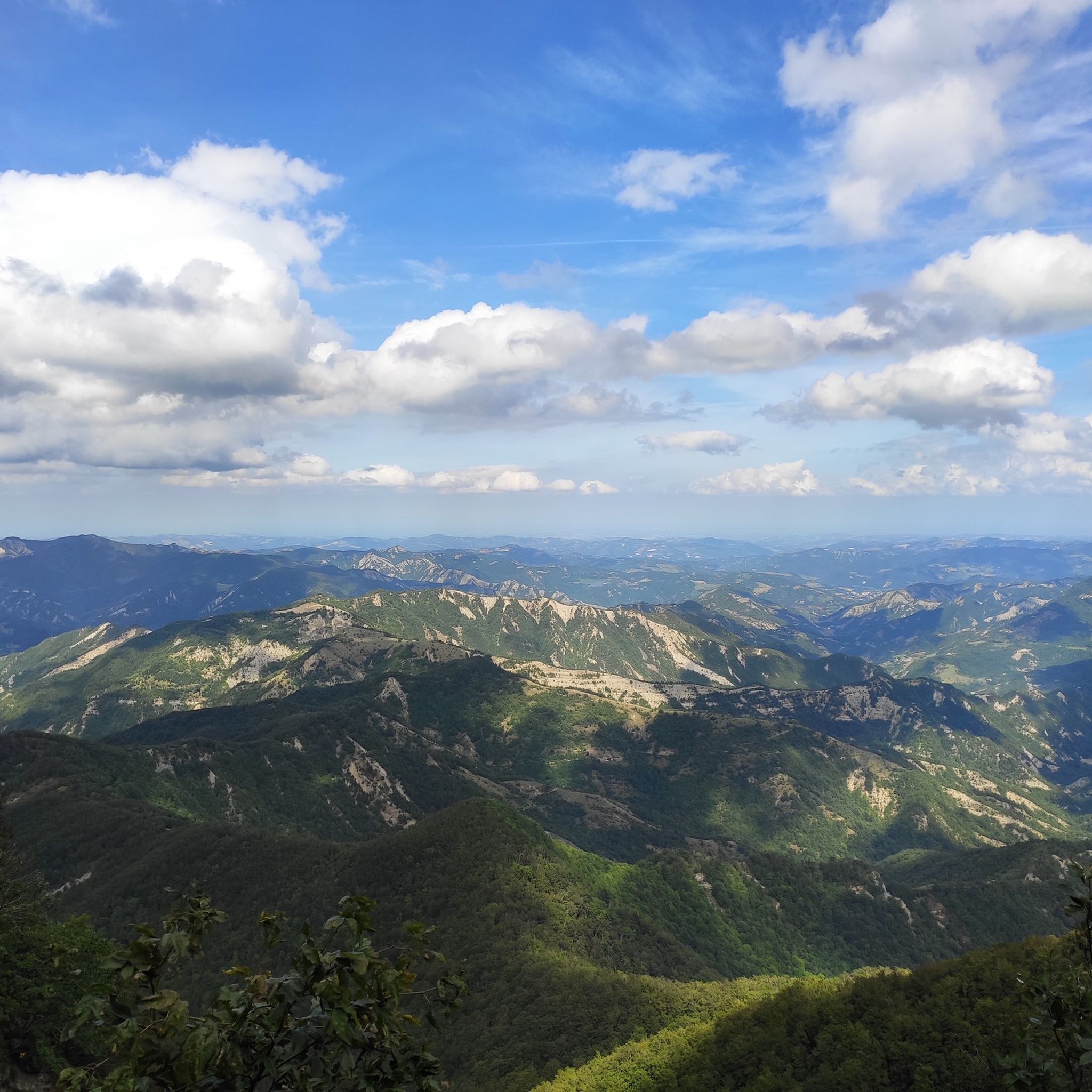
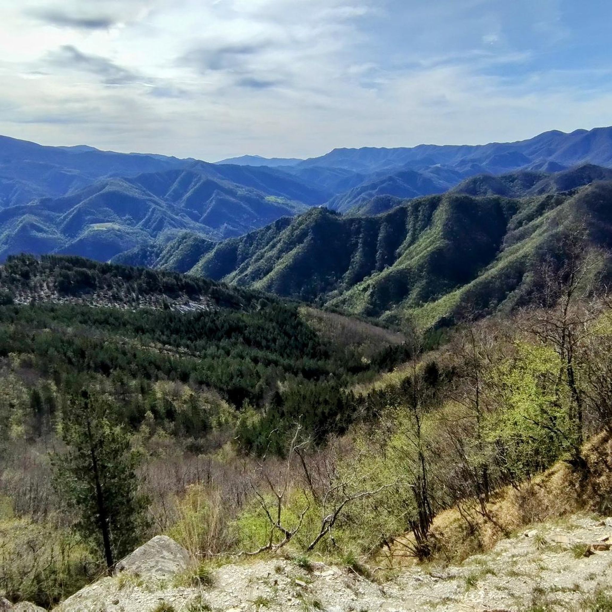
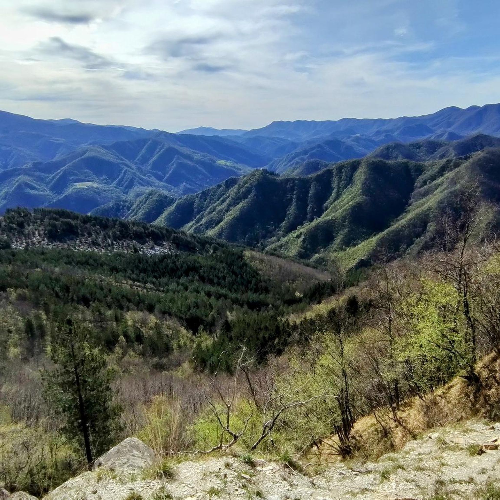
After just 5 km, the spectacular stretch of the Scalacce begins, an imposing marly-arenaceous formation that with its steps runs alongside the road up to the pass and then climbs towards 1173 metres from where you can enjoy a breathtaking view.
0
0

the climb through the woods begins, quite tough in some parts!!
0
0

Impressive place... worth seeing 👌👌
0
0

Passo dei Lupatti (altitude 1171) where majestic beech trees stand and where we cross the 00 ridge path coming from Passo dei Mandrioli and heading to Passo della Crocina: the stretch of the railway that went from Passo dei Lupatti to Cancellino was slightly downhill and for this reason the wagons loaded with wood were slowed down in their run by specially trained men called "brakemen". Now from Passo dei Lupatti to Lama the road will always continue downhill: immersed in the forest we walk crossing the slopes of Mount Cucco and Poggio Rovino until we reach Pian della Saporita (altitude 1051) Beautiful dirt road immersed in an immense beech forest with the possibility of many variations, 90% of the routes are suitable for everyone.
0
0

Compact gravel road @cesare pastorelli?
0
0

Very beautiful lake, it is also possible to take a trip on board an electric boat.
0
0
Frequently Asked Questions
What types of running routes can I find in Bagno di Romagna?
Bagno di Romagna, nestled within the Foreste Casentinesi, Monte Falterona, Campigna National Park, offers a diverse range of running experiences. You'll find everything from challenging mountain trails with significant elevation gains to more leisurely forest loops and scenic paths along rivers and lakes. The area is characterized by dense woodlands, varied terrain, and picturesque water features.
Are there any easy or moderate running trails available in Bagno di Romagna?
While many routes in the region are considered difficult, there are options for less strenuous runs. For a pleasant and accessible experience, consider the Bosco del Benessere (Wellness Forest), a short 1.4-kilometer loop near the town center designed for well-being. Another option is the Sentiero degli Gnomi (Path of the Gnomes), which starts at the public park and offers an enjoyable walk or lighter jog through lush vegetation.
What are some notable landmarks or natural features I might encounter on a run?
The region is rich in natural beauty. You can run past stunning features like Mount Falco and Monte Falterona, or explore areas around picturesque Lake Ridracoli. The Foreste Casentinesi National Park itself is a highlight, featuring ancient beech forests like the UNESCO heritage site of Lama Forest. You might also discover the beautiful Cascata dell'Alferello, known as the 'trout waterfall'.
Are there any circular running routes in the area?
Yes, many of the running routes in Bagno di Romagna are circular, allowing you to start and finish in the same location. For example, The Wolf's Ring Trail is a challenging loop offering panoramic views. Another extensive circular option is the Crocina Pass – Lake Ridracoli loop, which explores the area around the lake.
What do other runners say about the trails in Bagno di Romagna?
The running routes in Bagno di Romagna are highly regarded by the komoot community, with an average rating of 3.25 stars from over 20 reviews. Runners often praise the immersive experience within the national park, the varied terrain, and the opportunity to connect with nature on these well-maintained paths.
Can I bring my dog on the running trails?
While the Foreste Casentinesi, Monte Falterona, Campigna National Park is generally welcoming to visitors, it's always best to check specific regulations regarding pets, especially in protected areas like the Lama Forest or Sasso Fratino Reserve. When running with your dog, ensure they are on a leash, you clean up after them, and respect local wildlife and other trail users.
Are there any family-friendly running or walking options?
Absolutely! The Sentiero degli Gnomi (Path of the Gnomes) is a 'nature and fantasy trail' that begins at the public park in Bagno di Romagna, making it ideal for enjoyable walks or light jogs with the family. The Bosco del Benessere (Wellness Forest) is another short, accessible loop perfect for a pleasant stroll or a gentle run.
What is the best time of year for running in Bagno di Romagna?
Bagno di Romagna offers beautiful running conditions throughout much of the year. The trails are enjoyable in warmer weather, providing shaded paths through the forests. In winter, some routes, like the Sentiero degli Gnomi, can be magical when covered in snow. Spring and autumn generally offer mild temperatures and vibrant scenery, making them excellent seasons for exploring the region's trails.
Are there opportunities for relaxation after a run?
Yes, Bagno di Romagna is renowned for its natural thermal springs, with waters flowing at 45°C. These thermal centers provide a perfect opportunity for relaxation and recovery after your outdoor activities, offering a soothing end to a challenging run.
How many running routes are available in the Bagno di Romagna area?
There are over 45 running routes documented in the Bagno di Romagna area, offering a wide variety of distances and difficulty levels for runners to explore within the stunning Tuscan-Romagna Apennines.
Where can I find parking for the running trails?
While specific parking areas for every trailhead are not detailed, Bagno di Romagna is a town well-equipped for visitors. You can typically find parking within the town center or near popular access points to the national park. For routes starting from specific locations like Ridracoli, designated parking is usually available.
Can I reach the running trails using public transport?
Bagno di Romagna itself is accessible by public transport, which can serve as a starting point for many routes, especially those originating from the town center like the Sentiero degli Gnomi or Bosco del Benessere. For trails deeper within the Foreste Casentinesi National Park, personal transport might be more convenient to reach specific trailheads.
Most popular routes around Bagno Di Romagna
Most popular attractions around Bagno Di Romagna

Get inspired with the komoot mobile app


Explore more
Browse the best Running Trails & Routes in other regions.
