The best traffic-free bike rides around Bagno Di Romagna
4.5
(100)
4,119
riders
9
rides
No traffic road cycling routes around Bagno Di Romagna traverse the Tuscan-Romagna Apennines, characterized by vibrant green forests, rolling hills, and the Savio River valley. A significant portion of the area lies within the Foreste Casentinesi National Park, offering diverse terrain for road cyclists. The region features low-traffic asphalt roads and climbs that provide varied elevation challenges. This landscape combines natural beauty with dedicated cycling infrastructure, making it suitable for exploring by road bike.
Best no traffic road cycling routes…
Last updated: May 19, 2026
42
riders
46.7km
02:39
1,060m
1,060m
Hard road ride. Very good fitness required. Mostly well-paved surfaces and easy to ride.
1.0
(1)
36
riders
51.8km
03:07
1,370m
1,370m
Hard road ride. Very good fitness required. Mostly well-paved surfaces and easy to ride.

Sign up for free
24
riders
64.8km
03:44
1,550m
1,550m
Hard road ride. Very good fitness required. Mostly well-paved surfaces and easy to ride.
5.0
(1)
9
riders
53.9km
03:17
1,450m
1,440m
Hard road ride. Very good fitness required. Mostly well-paved surfaces and easy to ride.
8
riders
33.5km
02:06
960m
960m
Hard road ride. Very good fitness required. Some segments of this route may be unpaved and difficult to ride.
Get access to more routes and recommendations from other explorers.
Sign up for free
Already have an account?
Our route recommendations are based on thousands of hikes, rides, and runs completed by other people on komoot.
Start today with a free account
Your next adventure awaits.
Login or Signup
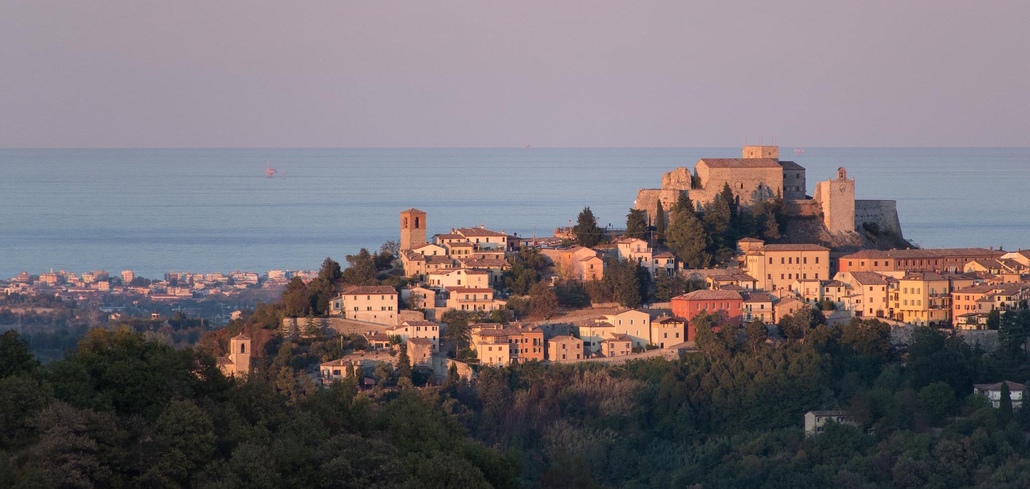
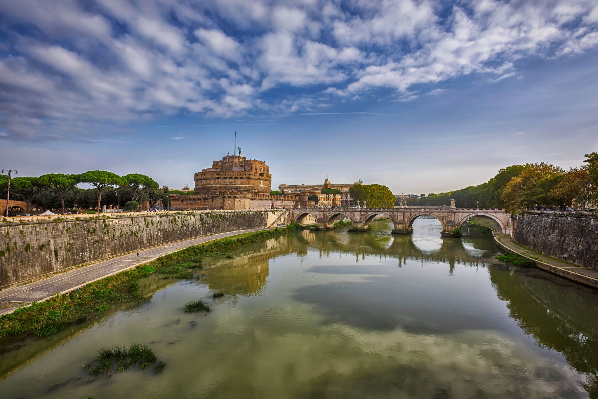




Tips from the Community

In the heart of the Casentinesi Forests National Park, an imposing and fascinating dam has given rise to a suggestive lake surrounded by pristine forests, creating a unique ecosystem where nature and engineering coexist in perfect harmony; here it is possible to take boat or canoe excursions, mountain bike or e-bike itineraries, or combine them into a single solution throughout the day in the famous Casentinesi Forests Triathlon, but only for the most trained.
0
0

very beautiful and streamlined completely in the woods
0
0
Literally cut in two by the Bidente river which for a long time marked the border between the Papal State and the Grand Duchy of Tuscany, Santa Sofia is practically the gateway to the wonderful Casentinesi Forests National Park, which has protected over 36,000 hectares of forests divided between Emilia Romagna and Tuscany since 1993, and also the monumental Ridracoli dam which collects the waters of the river to quench the thirst of the whole of Romagna even in times of worst drought.
0
1

From the center of Civitella di Romagna begins the 'terrible' climb of Monte delle Ruote. Just under 3 km (2,791 meters indicates a plaque on the Sulparo pass) with an average gradient of 13.3% and peaks of 22%, they overcome a difference in altitude of 370 meters. On the Monte delle Ruote there is a monument to the cyclist and a significant plaque that reads: 'Beautiful and impossible of Romagna - Like a lover, first I fascinate you, then I hate you, finally I love you'.
0
0

The history of Sarsina begins with a settlement of the Umbrians on the Savio in the fourth century BC. With the influence of Rome, the city became an ally of the city on the Tiber in 266 BC. With the stationing of troops, the city, known as Sassina, continued to grow in importance until it was destroyed at the end of the third century AD, probably by barbarians. The first bishop of the city, Vizinius, was also named at the end of the third century. The diocese continued to exist until 1986, when it was merged with the diocese of Cesena to form the diocese of Cesena-Sarsina.
2
0

In front of the Camaldoli hermitage, after having filled the water bottle with very fresh water and admired the work of art on the portal of the same, you have 2 possibilities; to the left you go towards Prato alle Cogne, to the right you go towards Prato alla Penna (asphalt) and then Badia Prataglia via a dirt road (wide) for a few km that can also be traveled with a racing bike being careful, then you return on asphalt always downhill to Badia Prataglia.
0
0

Fun MTB descent, steep uphill in some places.
0
0

Very beautiful lake, it is also possible to take a trip on board an electric boat.
0
0
Frequently Asked Questions
How many no-traffic road cycling routes are available in Bagno Di Romagna?
Bagno Di Romagna offers a good selection of dedicated no-traffic road cycling routes. Our guide features 11 such routes, with 3 considered moderate and 8 challenging, ensuring options for various skill levels.
What kind of terrain can I expect on these no-traffic road cycling routes?
The no-traffic routes in Bagno Di Romagna wind through diverse terrain, from low-traffic asphalt roads to scenic paths through woodlands and rolling hills. You'll experience the lush Tuscan-Romagna Apennines, with routes offering significant elevation changes and stunning views, particularly around the Foreste Casentinesi National Park.
Are there any family-friendly no-traffic road cycling options in Bagno Di Romagna?
While many routes offer challenging climbs, Bagno Di Romagna also features a dedicated cycle-pedestrian path connecting Bagno di Romagna to San Piero in Bagno along the Savio River. This path is ideal for quieter, family-friendly rides away from vehicle traffic.
What are some notable landmarks or viewpoints along the no-traffic road cycling routes?
Many routes offer breathtaking views and pass by significant natural and cultural points. For instance, the Ridracoli Dam – Lake Ridracoli loop from Cimitero di Poggio Alla Lastra takes you past the beautiful Lake Ridracoli. You might also encounter highlights like the Icehouse of Cattiglio or the Buca delle Fate (Fairy Hole Cave), offering unique points of interest.
What is the best time of year for no-traffic road cycling in Bagno Di Romagna?
The region is particularly beautiful in autumn when the forests of the Casentino National Park turn vibrant shades of yellow and red. Spring and early summer also offer pleasant temperatures and lush greenery. While some routes are accessible year-round, always check local weather conditions, especially for higher elevations, during colder months.
Are there any challenging no-traffic road cycling routes for experienced riders?
Absolutely. Bagno Di Romagna is known for its challenging climbs and significant elevation gains. Routes like the Santa Sofia Bridge – Carnaio Pass loop from Rocchetta feature over 1300 meters of elevation gain, testing even very fit riders. The area offers plenty of opportunities for advanced cyclists to push their limits.
What services are available for cyclists in Bagno Di Romagna?
Bagno Di Romagna is very cyclist-friendly. Many accommodations are designated 'bike hotels' offering amenities such as secure bicycle storage, workshops for repairs, washing areas, and even laundry service for technical clothing. E-bike rentals and guided tours are also available to enhance your cycling experience.
Where can I find parking for these no-traffic road cycling routes?
Parking availability varies by starting point. For routes originating from towns like San Piero in Bagno or Alfero, you can typically find public parking areas. For specific routes, it's advisable to check the route details on komoot for suggested starting points and parking information.
What do other road cyclists enjoy most about cycling in Bagno Di Romagna?
The area is highly rated by the komoot community, with an average score of 4.5 stars. Reviewers often praise the stunning natural beauty, the quiet and well-maintained roads, and the challenging yet rewarding climbs through the Apennine landscape. The blend of natural scenery and cultural points of interest also receives high marks.
Are there any circular no-traffic road cycling routes available?
Yes, many of the no-traffic road cycling routes in Bagno Di Romagna are designed as circular loops, allowing you to start and end at the same point. Examples include the Monte Fumaiolo Pass – Le Balze Village loop from Alfero, which offers a rewarding circular journey through the mountains.
Can I combine cycling with other activities in Bagno Di Romagna?
Absolutely. Beyond cycling, Bagno Di Romagna is famous for its natural thermal springs, perfect for relaxation after a long ride. The Foreste Casentinesi National Park offers extensive hiking trails, and nearby lakes like Ridracoli provide opportunities for electric boat cruises or pleasant walks. The historic center of Bagno di Romagna also offers cultural exploration.
Most popular routes around Bagno Di Romagna
Most popular attractions around Bagno Di Romagna

Get inspired with the komoot mobile app


Explore more
Browse the best Road cycling routes in other regions.
