The best MTB trails around Alpette
4.6
(469)
1,914
riders
130
rides
Mountain bike trails around Alpette, located in the Metropolitan City of Torino, Italy, offer a diverse and challenging landscape for riders. The region features varied mountainous terrain with an average elevation of 980 meters, reaching up to 1,643 meters. Riders can expect ample meadows and forests of chestnut and birch trees at higher elevations, often involving significant elevation gains on routes. These Alpette mountain bike routes cater to various skill levels, providing a robust environment for outdoor enthusiasts.
Best mountain…
Last updated: July 15, 2026
4.3
(17)
83
riders
35.1km
03:35
1,290m
1,290m
Hard mountain bike ride. Very good fitness required. Suitable for all skill levels.
4.0
(2)
25
riders
27.9km
02:49
990m
990m
Hard mountain bike ride. Very good fitness required. Advanced riding skills necessary. Some portions of the route may require you to push your bike.

Sign up for free
4.5
(8)
19
riders
37.3km
02:22
540m
540m
Moderate mountain bike ride. Good fitness required. Suitable for all skill levels.
5.0
(2)
15
riders
12.4km
01:44
650m
650m
Moderate mountain bike ride. Good fitness required. Suitable for all skill levels.
4.3
(4)
19
riders
39.4km
03:15
1,150m
1,150m
Hard mountain bike ride. Very good fitness required. Suitable for all skill levels.
Get access to more routes and recommendations from other explorers.
Sign up for free
Already have an account?
Our route recommendations are based on thousands of hikes, rides, and runs completed by other people on komoot.
Start today with a free account
Your next adventure awaits.
Login or Signup


Tips from the Community

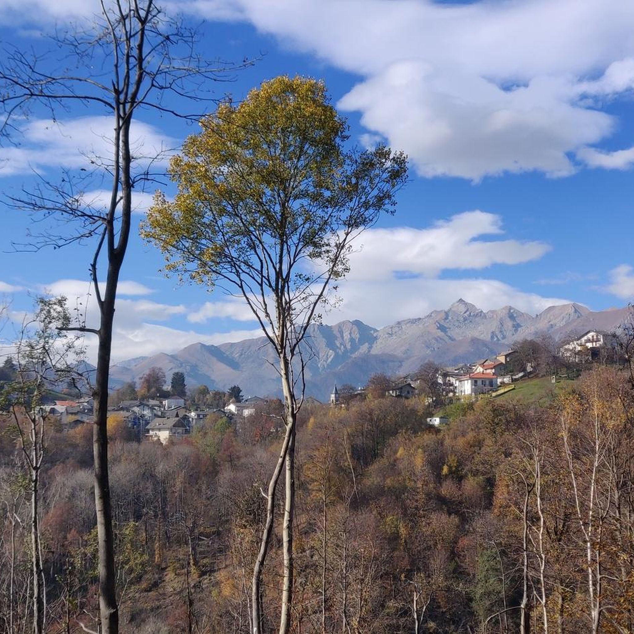
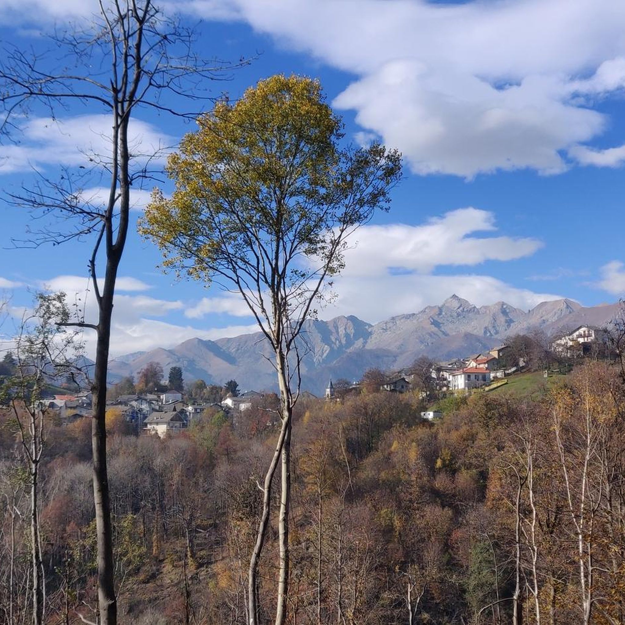
On Cima Mares there isn't much, apart from a cross and the repeaters, but the panorama is worth the effort to climb it, the view actually ranges from the Maritime Alps, which are very clearly distinguishable in conditions of good visibility, then moving your gaze to the right you encounter Monviso, a good part of the peaks of Cuneese and the lower Susa valley, because the upper part is screened by the silhouette of Monte Soglio, which forms the watershed between the Orco valley and the Lanzo valleys. To the right, overlooking the upper part of the valley towards Ceresole, you can admire the satellites of G. Paradiso and other minor peaks, which however almost all exceed 2500 meters and offer a grandiose spectacle.
0
0

Scenic spot to park to start the hike to Punta Quinzeina
1
0

Beautiful Panorama! Steep climbs in the last section from Frassinetto
0
0

The Church of Saint Elizabeth can be seen from tens (perhaps even hundreds) of kilometers away. It's the little white dot you see on clear days when looking toward Quinzeina. Reaching it by bike is wonderful, though quite tiring...
1
0
In reality, this place is not so "flat" because, from when the slopes become less steep to when the descent begins, there will not even be a hundred meters ... but the environment is superb, high mountain, and makes up for the road that, especially towards Frassinetto, is not in such good condition. There is nothing, not a bar, not a fountain ... but it is worth stopping and admiring the splendid panorama. Going up from Frassinetto the slope, after the village, becomes discontinuous and challenging, more gradual if you go up from Colleretto Castelnuovo, where the road alternates beautiful hairpin bends in the woods ... however, it is not a gift from this side either!
1
0


There are many chapels dedicated to the Madonna della Neve, this one is located in the municipality of Canischio, at the entrance to the Sentiero del Gallo
0
0
Frequently Asked Questions
How many mountain bike trails are available around Alpette?
There are over 100 mountain bike trails around Alpette, offering a diverse range of options for riders. The komoot community has mapped 115 routes in total, catering to various skill levels.
What kind of terrain can I expect on mountain bike trails around Alpette?
The mountain bike trails around Alpette feature varied mountainous terrain with an average elevation of 980 meters, reaching up to 1,643 meters. You'll encounter ample meadows and forests of chestnut and birch trees at higher elevations, often involving significant elevation gains. The region is nestled within the larger mountainous landscape of the Piedmont region, providing a naturally rich and challenging environment.
Are there mountain bike trails suitable for beginners or families in Alpette?
While many trails in Alpette are moderate to difficult, there are 11 easy mountain bike routes available, making it possible to find options suitable for less experienced riders or families. These routes typically feature less extreme elevation changes and shorter distances.
What are some notable natural features or viewpoints along the mountain bike trails?
The trails often wind through beautiful forests of chestnut and birch trees and open meadows, offering panoramic views of the surrounding Piedmont region. For specific viewpoints, consider routes that pass near mountain peaks such as Cima Mares or Punta Quinseina Sud Summit Cross, which provide stunning vistas.
Are there any circular mountain bike routes in Alpette?
Yes, many of the mountain bike trails around Alpette are designed as loops. For example, the Frassinetto bids farewell to the tour loop from Pont Canavese and the Pertusio, Town of Bagna Caöda loop from Pont Canavese are popular circular routes that allow you to start and finish in the same location.
What is the best time of year for mountain biking in Alpette?
The best season for mountain biking in Alpette is typically from spring through autumn. During these months, the weather is generally more favorable, and the trails are free of snow, offering optimal riding conditions. Always check local weather and trail conditions before heading out.
What do other mountain bikers enjoy most about the trails in Alpette?
The mountain bike trails in Alpette are highly rated by the komoot community, with an average score of 4.5 stars from over 300 reviews. Riders often praise the diverse and challenging landscape, the beautiful forests and meadows, and the variety of routes available for different skill levels.
Are there any specific attractions or landmarks I can visit near the mountain bike routes?
Beyond the natural beauty, you can find interesting landmarks. For instance, the Torre Cives Trail – Chiara Waterfall loop from Pont Canavese passes by the Chiara Waterfall. You can also explore nearby mountain peaks like Monte Soglio Summit and Madonna Statue or visit the unique Bandit's Chapel and Fountain.
Are there places to stop for refreshments or accommodation near the trails?
Yes, the region offers various options for refreshments and accommodation. You can find cafes and restaurants in nearby towns like Pont Canavese. For those looking for a more rustic experience, there are several huts and bivouacs, such as Alpe Soglia Hut or Rifugio Fornetto, which can serve as resting points or overnight stays.
What are some of the more challenging mountain bike routes in Alpette?
For experienced riders seeking a challenge, Alpette offers several difficult routes. The Frassinetto bids farewell to the tour loop from Pont Canavese is a difficult 27.8 km trail with nearly 1,000 meters of ascent. Another demanding option is the Val Mill (Dutch Mill) – Madonna della Neve Chapel loop from Campore, which covers 41.5 km with over 1,000 meters of elevation gain.
Is it possible to reach the mountain bike trailheads using public transport?
While specific public transport options directly to every trailhead in Alpette can be limited due to its mountainous nature, many routes start from towns like Pont Canavese, which may have better public transport connections. It's advisable to check local bus or train schedules for the most up-to-date information on reaching starting points.
Where can I find parking for mountain biking in Alpette?
Parking is generally available in the towns and villages that serve as starting points for the trails, such as Pont Canavese. Look for designated parking areas or public car parks. Some trailheads might have smaller, informal parking spots, but it's always best to plan your starting location and check for parking availability beforehand.
Most popular attractions around Alpette

Get inspired with the komoot mobile app


Explore more
Browse the best MTB trails in other regions.
