The best road cycling routes around Balangero
4.4
(209)
5,901
riders
12
rides
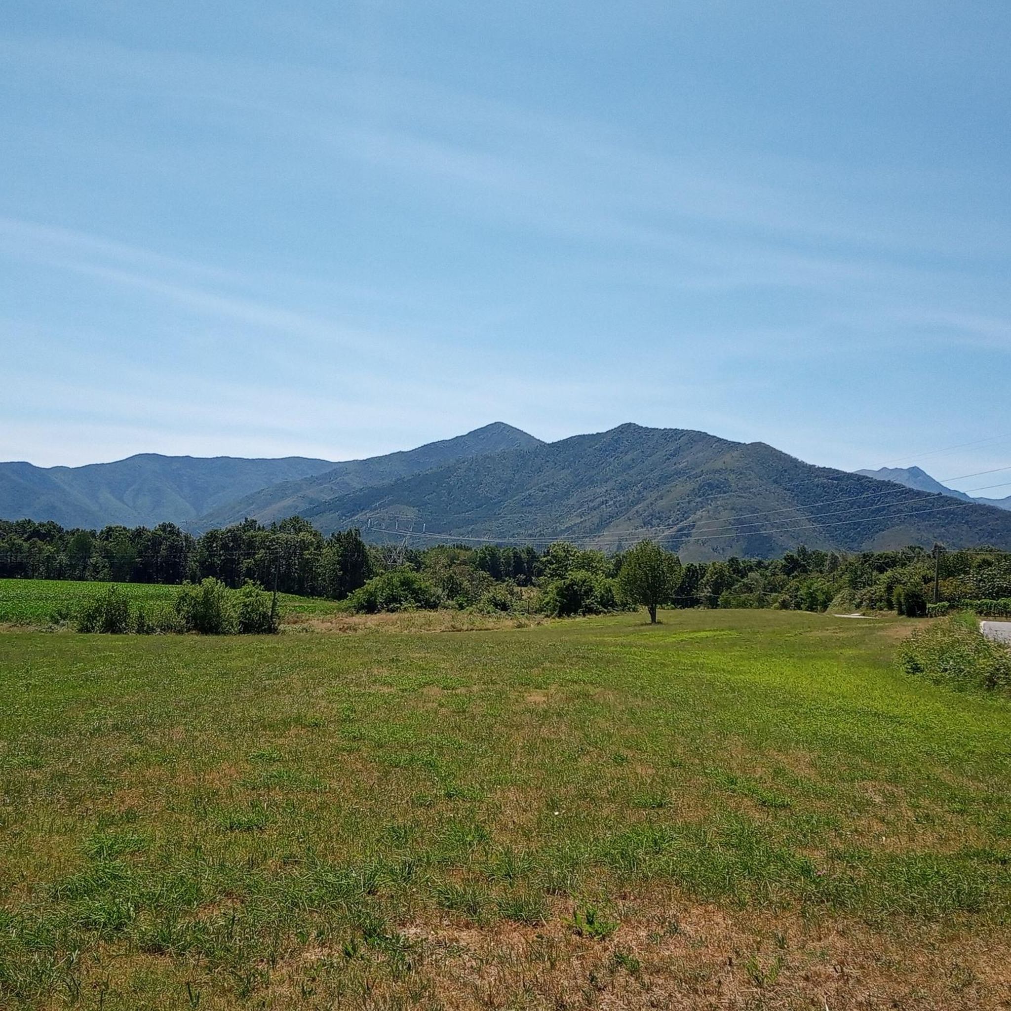
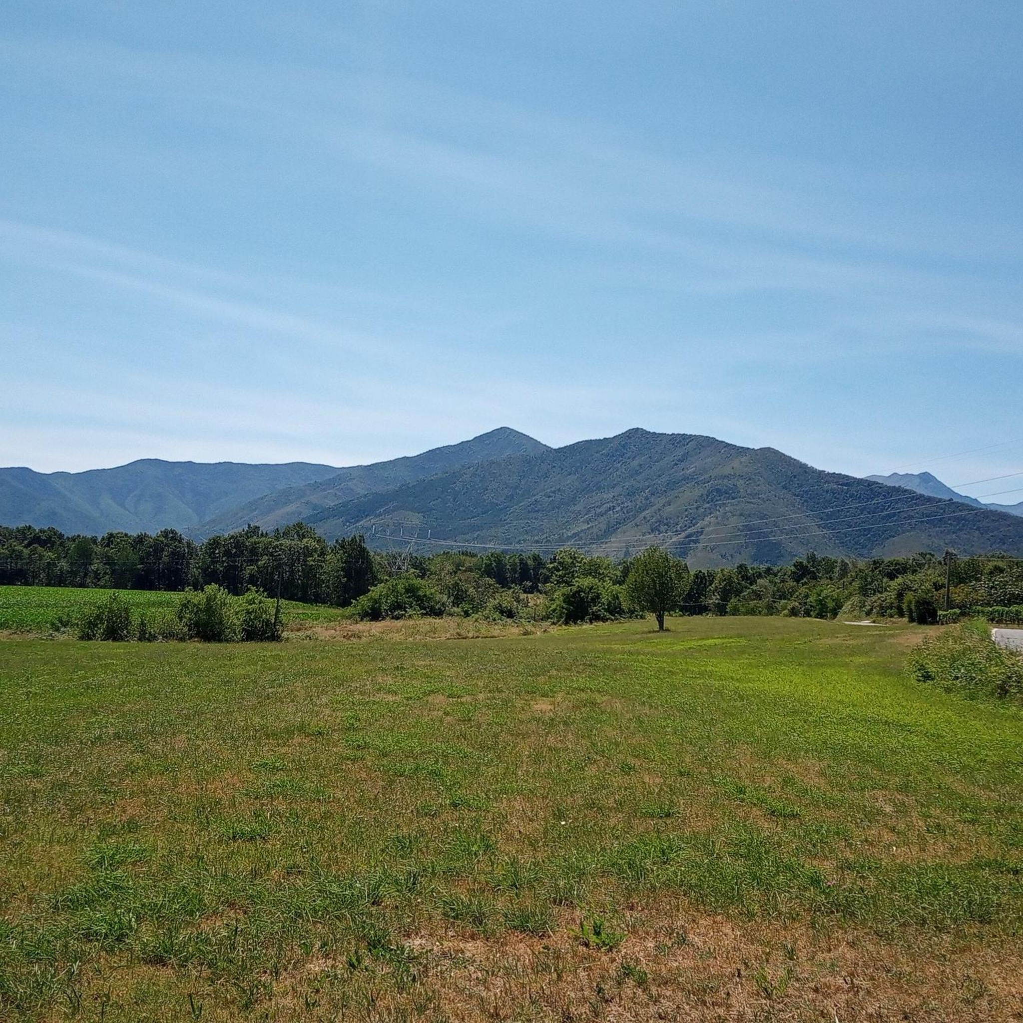
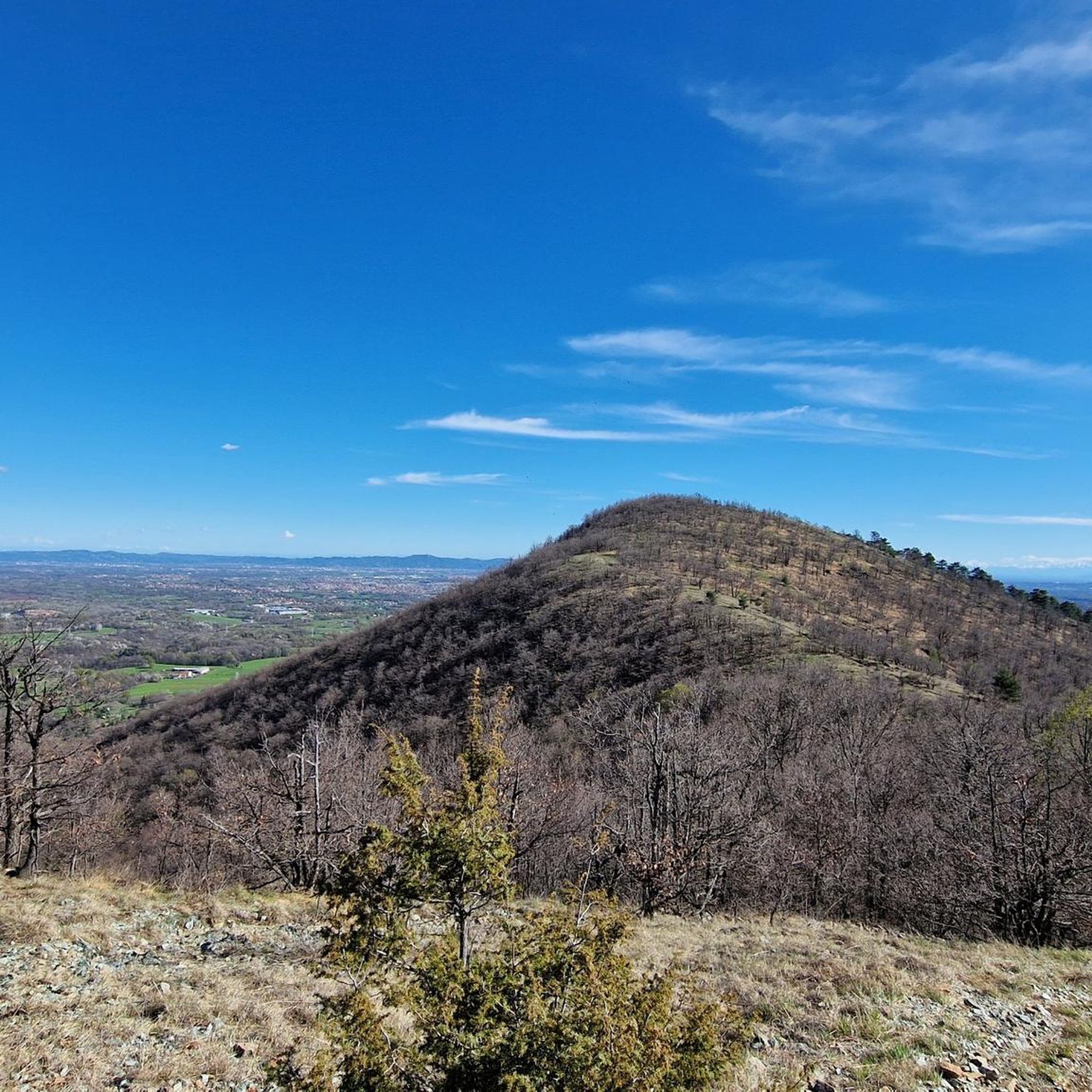
Road cycling routes around Balangero traverse diverse landscapes, from flat plains to pedemontana (foothill) areas within the Metropolitan City of Turin. The region's topography includes the Stura River Valley, offering riverside cycling, and elevations like Monte Giovetto and Bric Forcola. Balangero serves as a gateway to the Valli di Lanzo, characterized by alpine panoramas and varied forest ecosystems. These features provide a range of terrains suitable for road cyclists.
Best road cycling routes around Balangero
- The most popular road cycling…
Last updated: October 1, 2026
4.8
(4)
112
riders
58.8km
02:30
390m
390m
Moderate road ride. Good fitness required. Mostly well-paved surfaces and easy to ride.
4.8
(4)
64
riders
48.3km
02:28
770m
770m
Moderate road ride. Good fitness required. Mostly well-paved surfaces and easy to ride.

5.0
(2)
19
riders
34.9km
01:52
690m
690m
Moderate road ride. Good fitness required. Mostly well-paved surfaces and easy to ride.
16
riders
59.1km
02:46
710m
710m
Moderate road ride. Good fitness required. Mostly well-paved surfaces and easy to ride.
16
riders
57.5km
02:16
240m
240m
Moderate road ride. Good fitness required. Mostly well-paved surfaces and easy to ride.
Get access to more routes and recommendations from other explorers.
Already have an account?
Our route recommendations are based on thousands of hikes, rides, and runs completed by other people on komoot.
Start today with a free account
Your next adventure awaits.

Tips from the Community

Beautiful view of the Devil's Bridge!
0
0

Panoramic and sunny, good road to all
0
0

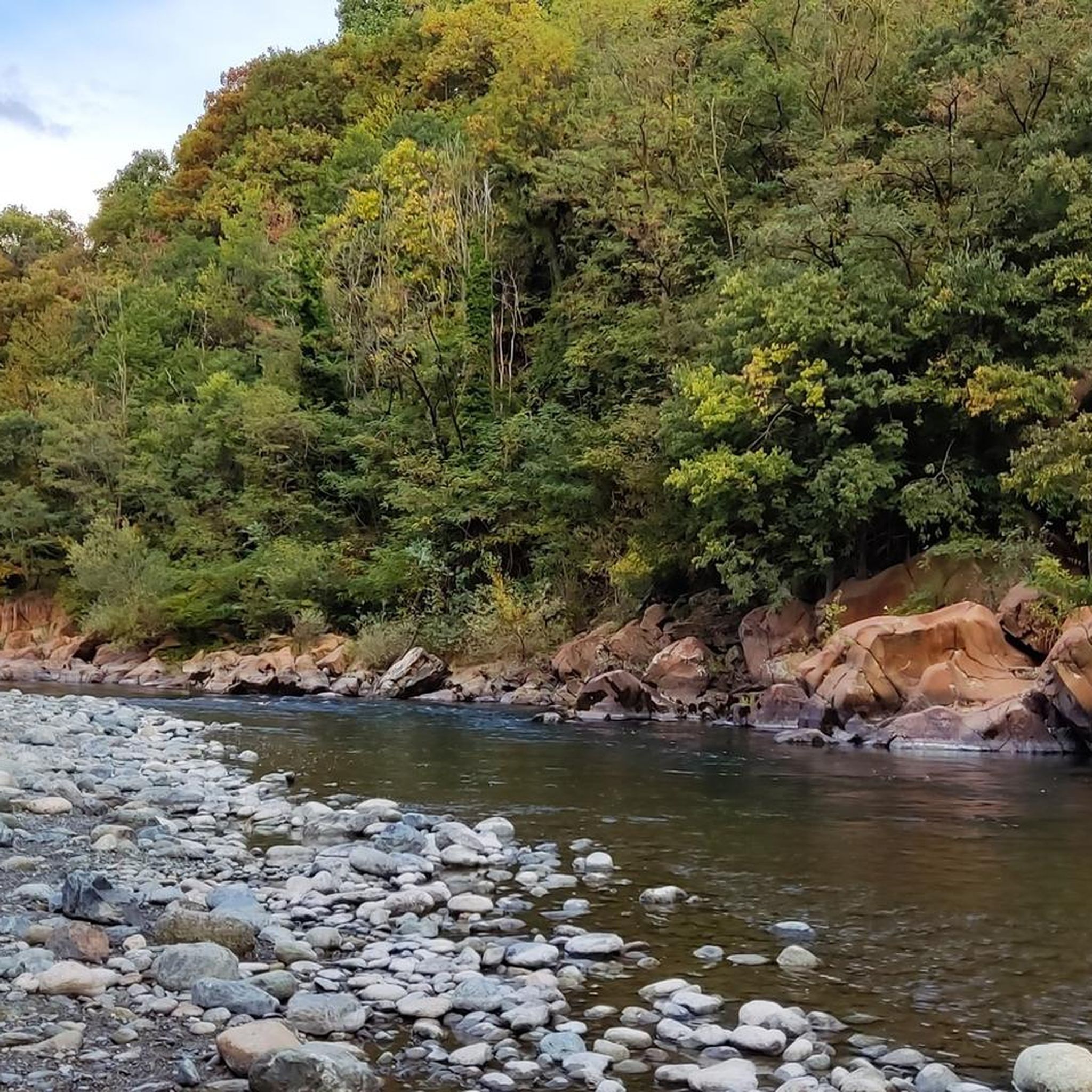
Bridge over the Stura di Lanzo with a view of the river
0
0

Originally built as a hunting and pleasure palace, it is now the second-largest castle in Italy and has been declared a UNESCO World Heritage Site. The complex includes the castle, the 60-hectare castle park, the historic village (Borgo) originally built for the servants, and the Parco della Mandria.
0
0

One of the royal residences of Piedmont, wonderful gardens
1
0

Impressive structure and very beautiful
0
0

really tiny climb but be careful at the intersection, quite dangerous and very busy
0
0
great passage to avoid passing on the side of the cars
0
0
Frequently Asked Questions
How many road cycling routes are available around Balangero?
There are over 10 road cycling routes around Balangero, offering a variety of experiences from moderate to difficult. These routes traverse diverse landscapes, including the Stura River Valley and the pedemontana (foothill) areas.
What kind of terrain can I expect on road cycling routes in Balangero?
Balangero's road cycling routes feature diverse terrain, ranging from flatter sections along the Stura River Valley to more challenging climbs in the pedemontana areas and towards the Valli di Lanzo. You'll encounter both paved roads and quieter paths.
Are there any challenging road cycling routes for experienced cyclists?
Yes, Balangero offers several challenging road cycling routes. For instance, the Stura di Lanzo – Ala di Stura loop from Balangero includes significant elevation gain, providing a good test for advanced riders. The region's topography, including elevations like Monte Giovetto and Bric Forcola, contributes to these more demanding rides.
What are some scenic highlights or landmarks I can see while cycling in Balangero?
Many routes offer scenic views and pass by notable landmarks. You might encounter the historic Devil's Bridge (Ponte del Diavolo) in Lanzo Torinese, or the unique Shrine of the Carved Tree Trunk in Rossignoli. The Strada delle Vigne – Ponte dell'Avvocato loop, for example, leads through vineyard areas.
Are there any places to stop for a break or food along the routes?
Yes, some routes offer opportunities for breaks. The Salvin Hut is a welcoming refuge nestled in nature, known for local cuisine, and can be a great spot to pause during your ride.
What do other road cyclists say about the routes in Balangero?
The road cycling routes in Balangero are highly regarded by the komoot community, with an average rating of 4.6 stars from over 140 reviews. Cyclists often praise the varied terrain, scenic views, and the options available for different skill levels.
Are there any loop trails for road cycling in Balangero?
Yes, many of the popular road cycling routes around Balangero are designed as loops, allowing you to start and finish in the same location. Examples include the Little Climb of Fiano – Truc Mola loop and the Vietti (Hamlet of Coassolo) – Vauda Climb loop.
What is the best time of year for road cycling in Balangero?
The region is excellent for outdoor activities, including road cycling, during spring, summer, and early autumn. These seasons generally offer pleasant weather conditions for exploring the diverse landscapes and enjoying the alpine panoramas.
How can I access the road cycling routes using public transport?
While specific public transport connections to individual route starting points may vary, the Verde Stura Cycle Path provides a scenic connection from Turin to Lanzo, winding through natural landscapes. This path can serve as an access point or part of a longer ride, potentially connecting to public transport hubs in larger towns.
Where can I find parking for road cycling routes in Balangero?
Specific parking information for each route is typically detailed on the individual tour pages. Generally, you can find parking in Balangero itself or at designated starting points for the various loops. It's advisable to check the route details on komoot for the most accurate parking suggestions.
Are there any routes that offer views of the Stura River Valley?
Absolutely. The territory of Balangero extends along the left bank of the Stura torrent, offering picturesque riverside cycling opportunities. The Stura di Lanzo – Ala di Stura loop from Balangero is a prime example, providing scenic views along the Stura River Valley.
What is the average distance and elevation gain for road cycling routes in Balangero?
The road cycling routes around Balangero vary significantly. Distances typically range from around 22 miles (35 km) to over 36 miles (58 km). Elevation gains can also differ, with some routes featuring moderate climbs of a few hundred meters, while others present more challenging ascents exceeding 700 meters.
Most popular attractions around Balangero

Get inspired with the komoot mobile app


Explore more
Browse the best Road cycling routes in other regions.
