The best walks and hikes around Balangero
4.5
(836)
3,486
hikers
24
hikes
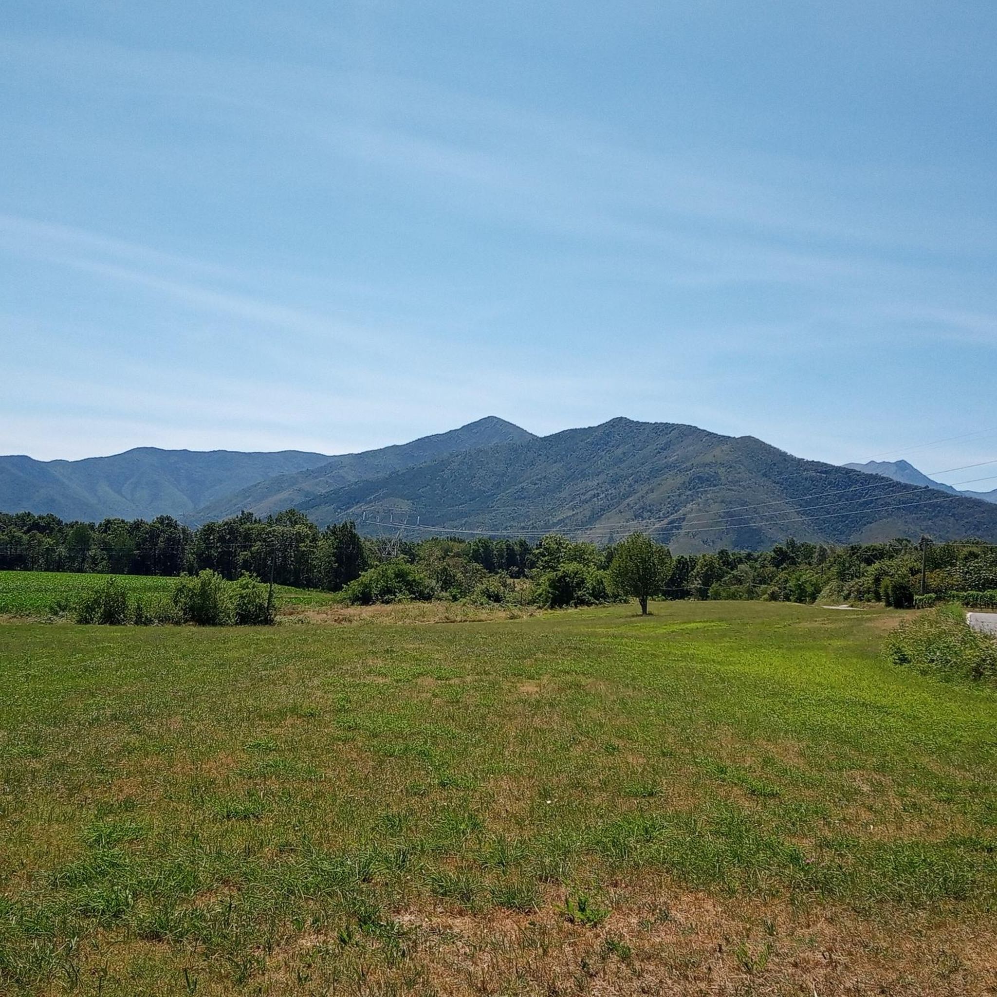
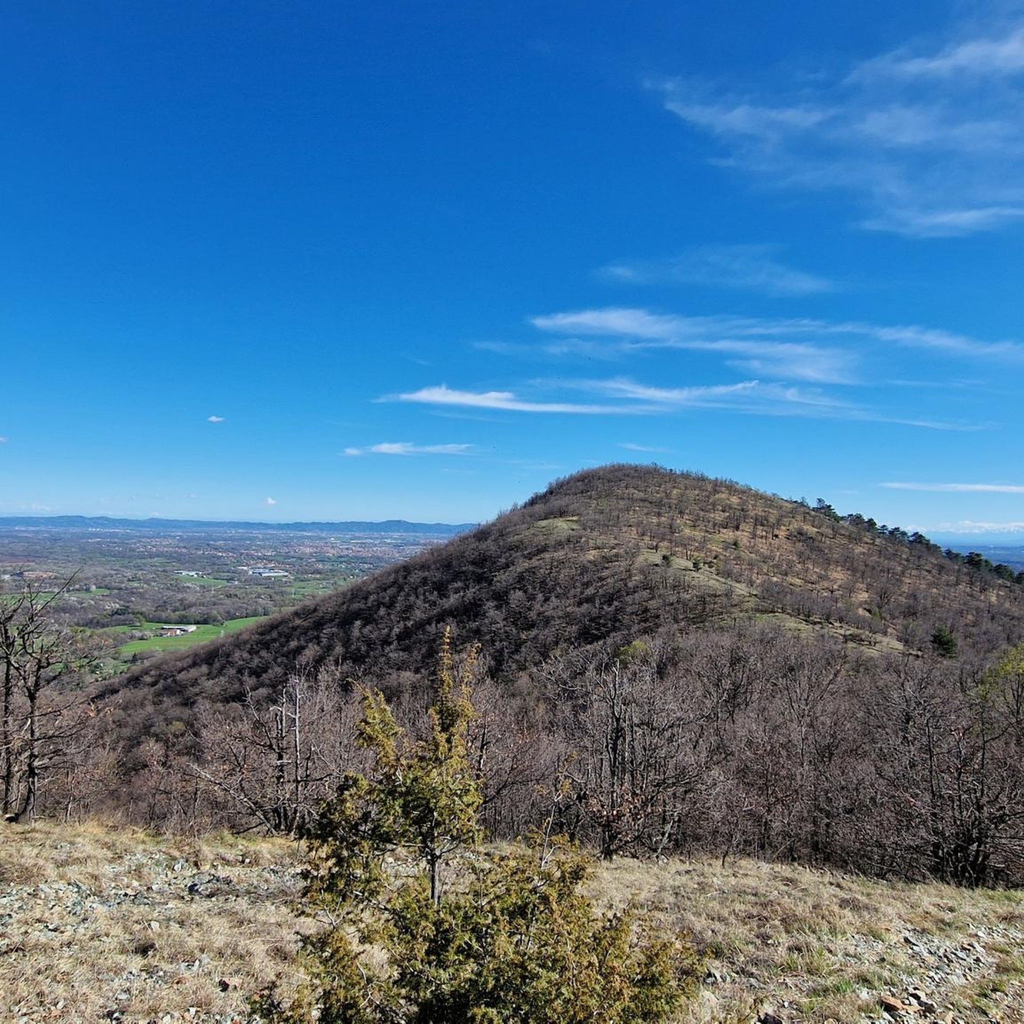
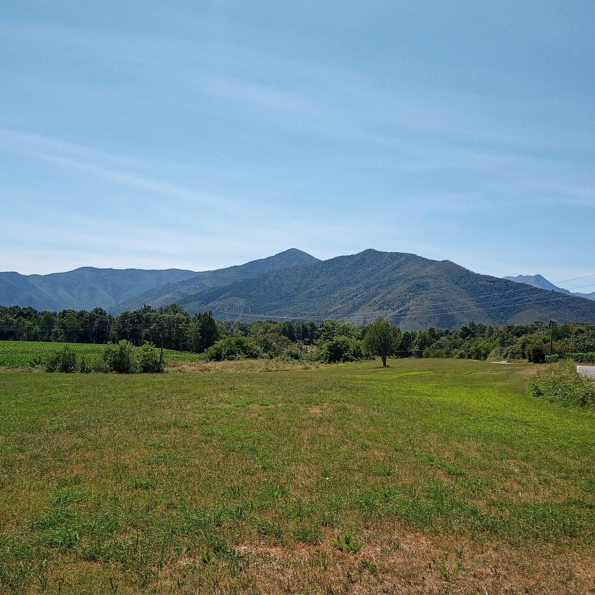
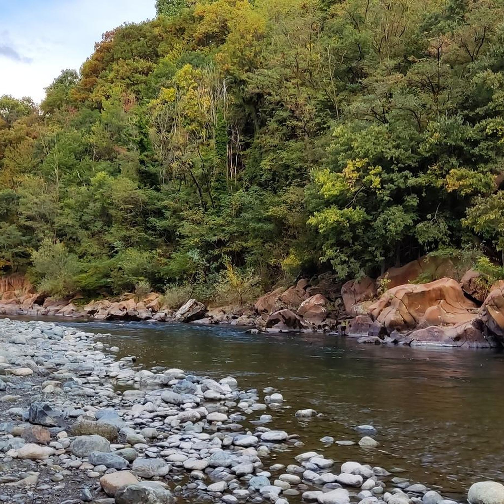
Hiking around Balangero, located in the Valli di Lanzo within the Southern Graie Alps, offers access to diverse landscapes. The region features Alpine panoramas, extensive forested areas of mixed chestnut and oak, and significant geological formations including serpentinites and glacial structures. Stream valleys like the Stura di Lanzo also contribute to the varied terrain, providing a range of hiking environments.
Best hiking trails around Balangero
- The most popular hiking route is Lago dell'Amiantifera – loop tour in the province of Torino, a 10.6 miles (17.0 km) trail that takes 5 hours 11 minutes to complete, featuring unique geological interest.
- Another top favourite among local hikers is Monte Ciovetto loop from Balangero, an easy 3.3 miles (5.4 km) path. This route offers views from Monte Ciovetto and can be completed in about 1 hour 50 minutes.
- Local hikers also love the Hiking loop from Balangero, a 6.1 miles (9.9 km) trail leading through rural roads and forested areas, often completed in about 2 hours 35 minutes.
- Hiking around Balangero is defined by Alpine panoramas, diverse forest ecosystems, and stream valleys, with options available for various ability levels.
- The routes in Balangero are highly rated by the komoot community with an average score of 4.5 stars from over 700 reviews. More than 3,000 hikers have used komoot to explore Balangero's varied terrain.
Last updated: September 30, 2026
4.0
(4)
12
hikers
17.0km
05:11
600m
590m
Embark on the Lago dell'Amiantifera loop tour, a difficult hike spanning 10.6 miles (17.0 km) with a significant 1963 feet (598 metres) of elevation gain. This challenging route, taking around 5 hours and 10 minutes to complete, leads you through a landscape profoundly shaped by its industrial past. You will encounter non-asphalted paths and natural terrain, with varying ground conditions that demand good fitness. The central feature is the striking Lago dell'Amiantifera, a deep lake formed in a former mining basin. From points like Monte San Vittore, you can enjoy panoramic views of the Lanzo Valleys and the unique concentric terraces, once described as "infernal circles," now slowly re-greening.
This difficult trail requires good training and fitness levels, so be prepared for a demanding experience. While some sections are easily walkable, others involve rougher patches and significant elevation changes. It is important to note that direct access to the shores of Lago dell'Amiantifera is prohibited, and you will see warning signs in place for your safety. Plan your visit carefully, ensuring you have adequate time and are well-equipped for the varying terrain.
The Lago dell'Amiantifera area holds profound historical significance as the site of Europe's largest chrysotile asbestos mine, active until 1990. The lake itself is a direct result of this industrial closure; when the pumps draining the basin were stopped, it naturally filled with water. This transformation from a dangerous industrial site to a unique natural lake makes the route a poignant example of environmental change and ongoing reclamation efforts. Literary figures like Primo Levi and Italo Calvino have also written about the mine, adding another layer to its cultural importance.
4.8
(8)
16
hikers
5.40km
01:51
290m
290m
Easy hike. Great for any fitness level. Easily-accessible paths. Suitable for all skill levels.

3.5
(2)
17
hikers
9.92km
02:36
80m
80m
Moderate hike. Good fitness required. Easily-accessible paths. Suitable for all skill levels.
3.8
(4)
24
hikers
10.8km
02:48
70m
70m
Moderate hike. Good fitness required. Easily-accessible paths. Suitable for all skill levels.
3.0
(3)
8
hikers
11.7km
03:52
510m
510m
Moderate hike. Good fitness required. Easily-accessible paths. Suitable for all skill levels.
Get access to more routes and recommendations from other explorers.
Already have an account?
Our route recommendations are based on thousands of hikes, rides, and runs completed by other people on komoot.
Start today with a free account
Your next adventure awaits.

Tips from the Community

⛔ Attention, it is not accessible! It is located within a perimeter marked by no-entry signs.
0
0

Balangero's imposing church stands near the start of various hilly trails. Its balcony offers a beautiful view.
0
0

Ancient Roman Lanzo Bridge
0
0

This is the main entrance
0
0
The "Green Crown" is a beautiful route.
0
0

From this sign begins the path that leads shortly from the village of Lanzo to the Devil's Bridge
0
0

great passage to avoid passing on the side of the cars
0
0

clean, easy and not tiring path, ideal for a leisurely walk
1
0
Frequently Asked Questions
How many hiking trails are available around Balangero?
Balangero and its surroundings offer a wide variety of hiking experiences, with over 20 routes available. These trails cater to different skill levels, ranging from easy walks to more challenging treks through the Valli di Lanzo.
What types of landscapes can I expect to see while hiking near Balangero?
Hiking around Balangero provides access to diverse landscapes, including breathtaking Alpine panoramas, dense forests of mixed chestnut and oak, and unique geological formations like serpentinites. You'll also encounter picturesque stream valleys, such as those along the Stura di Lanzo river, offering varied environments for exploration.
Are there hiking trails suitable for families with children?
Yes, Balangero offers several easy trails perfect for families. For instance, the Monte Ciovetto loop from Balangero is an easy 3.3-mile (5.4 km) path that can be completed in under two hours, offering pleasant views without significant difficulty. The region's lower valleys also feature many well-maintained paths through woodlands that are suitable for younger hikers.
Can I bring my dog on the hiking trails in Balangero?
Many trails around Balangero are dog-friendly, especially those through forested areas and along rural roads. It's always recommended to keep your dog on a leash, particularly in areas where wildlife might be present or near agricultural land, and to carry water for them. Always check local signage for any specific restrictions.
Are there any circular hiking routes starting from Balangero?
Yes, Balangero is a great starting point for circular hikes. The Monte Ciovetto loop from Balangero is a popular easy option. For a longer moderate experience, consider the Hiking loop from Balangero, which takes you through rural roads and forested areas. The Lago dell'Amiantifera – loop tour in the province of Torino is a more challenging circular route with unique geological interest.
What interesting natural features or landmarks can I see along the trails?
The region is rich in natural beauty and historical sites. You can explore the unique geological formations around the former Balangero asbestos mine area, including serpentinites. The Devil's Bridge (Ponte del Diavolo) near Lanzo Torinese is a notable landmark, and the Ponte del Diavolo Municipal Park offers additional scenic points. The Sacro Monte di Belmonte, a UNESCO World Heritage site, also provides a blend of spiritual and natural beauty with panoramic views.
Where can I find parking for hiking trails in Balangero?
Balangero, being a local hub, typically offers various parking options within the town center or near popular trailheads. For specific routes, it's advisable to check the starting point of your chosen trail on komoot, as many routes will indicate nearby parking facilities. Generally, you can find street parking or small public lots in the vicinity of the main access points to the Valli di Lanzo trails.
Is it possible to reach hiking trailheads in Balangero using public transport?
Balangero is connected to the wider region, including Torino, by local public transport services, primarily buses. While direct access to every trailhead might require a short walk from a bus stop, the town itself serves as a good base. It's recommended to check current bus schedules and routes to plan your journey to specific starting points.
What is the best time of year to go hiking in Balangero?
The best time for hiking in Balangero and the Valli di Lanzo is generally from spring to autumn (April to October). During these months, the weather is milder, and the trails are typically clear of snow, offering pleasant conditions for exploring the diverse landscapes, from forested paths to higher alpine views. Autumn also brings beautiful fall foliage.
Are there any challenging hikes for experienced trekkers?
Yes, for experienced hikers seeking a challenge, the Balangero area offers more demanding routes. The Lago dell'Amiantifera – loop tour in the province of Torino is classified as difficult, covering 10.6 miles (17.0 km) with significant elevation gain. The broader Valli di Lanzo also provide access to higher alpine peaks and extensive trail networks for multi-day treks.
What do other hikers enjoy the most about hiking in Balangero?
The area is highly rated by the komoot community, with an average score of 4.5 stars from over 700 reviews. Hikers often praise the diverse landscapes, from tranquil forested paths to expansive Alpine panoramas. The well-maintained network of trails and the blend of natural beauty with historical and spiritual sites, such as the Sacro Monte di Belmonte, are frequently highlighted as enjoyable aspects.
Are there opportunities to observe local flora and fauna?
Absolutely. The varied altitudes and diverse woodlands in the Lanzo Valleys create a rich biodiversity. Hikers can often spot various plant species, including mixed chestnut and oak trees, and observe local wildlife. The region is particularly known for its opportunities to identify different herbs and mushrooms, making it an excellent area for nature enthusiasts.
Most popular routes around Balangero
Most popular attractions around Balangero

Get inspired with the komoot mobile app


Explore more
Browse the best Hikes in other regions.
