The best running trails around Sant'Antonino Di Susa
4.6
(15)
1,371
runners
21
runs
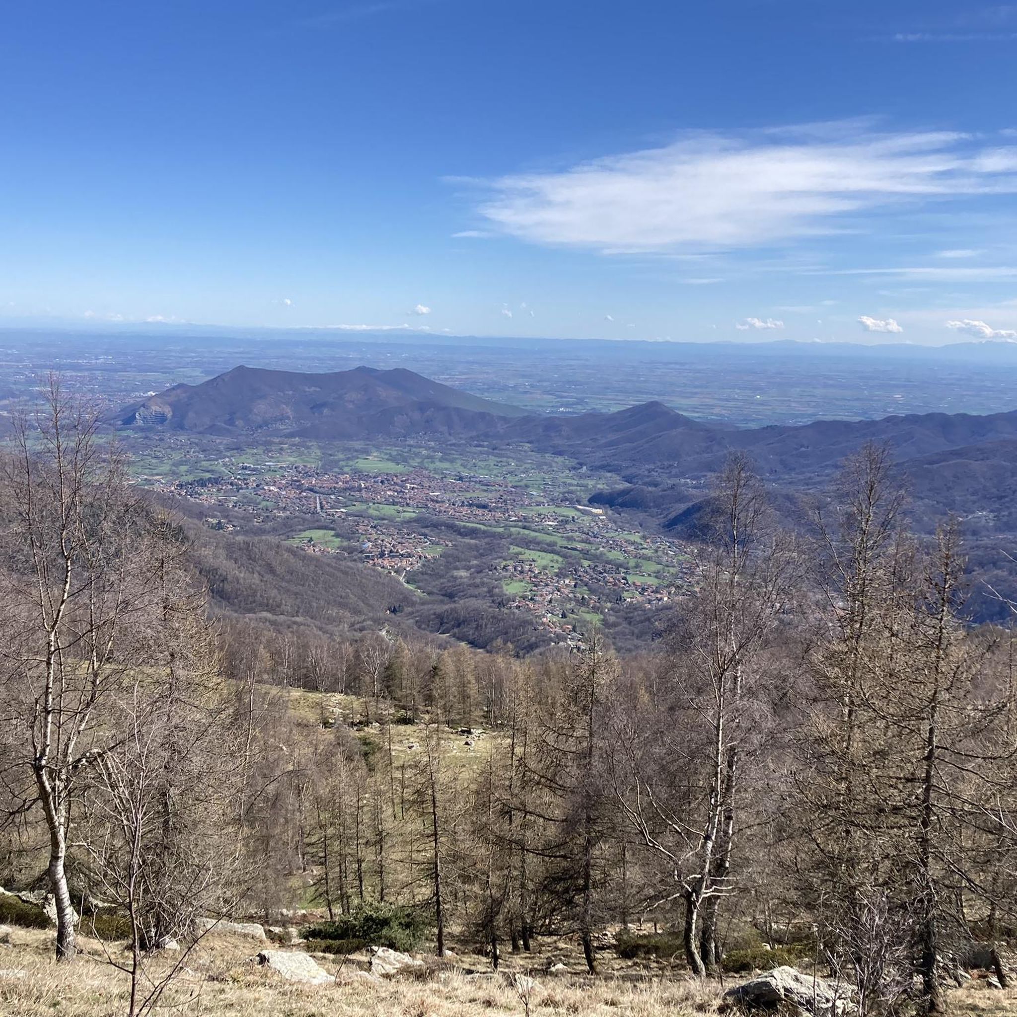
Jogging routes around Sant'Antonino Di Susa are set within the picturesque Val di Susa, characterized by Alpine scenery, green meadows, and gently rolling mountains. The region features an extensive network of trails, including paths through natural parks like Orsiera Rocciavrè and around the serene lakes of Parco Naturale dei Laghi di Avigliana. Runners can explore routes along the Dora Riparia River and through dense woodlands, often tracing ancient Roman and medieval paths.
Best jogging routes around Sant'Antonino Di Susa
- The…
Last updated: May 20, 2026
32
runners
7.73km
00:58
230m
230m
Hard run. Good fitness required. Sure-footedness, sturdy shoes and alpine experience required.
5.0
(1)
14
runners
7.11km
00:46
30m
30m
Moderate run. Good fitness required. Mostly paved surfaces. Suitable for all skill levels.

Sign up for free
16
runners
8.91km
01:14
270m
270m
Hard run. Good fitness required. Sure-footedness, sturdy shoes and alpine experience required.
12
runners
14.0km
01:31
70m
70m
Moderate run. Good fitness required. Mostly paved surfaces. Suitable for all skill levels.
6
runners
7.22km
00:48
60m
70m
Moderate run. Good fitness required. Mostly paved surfaces. Suitable for all skill levels.
Get access to more routes and recommendations from other explorers.
Sign up for free
Already have an account?
Our route recommendations are based on thousands of hikes, rides, and runs completed by other people on komoot.
Start today with a free account
Your next adventure awaits.
Login or Signup


Tips from the Community

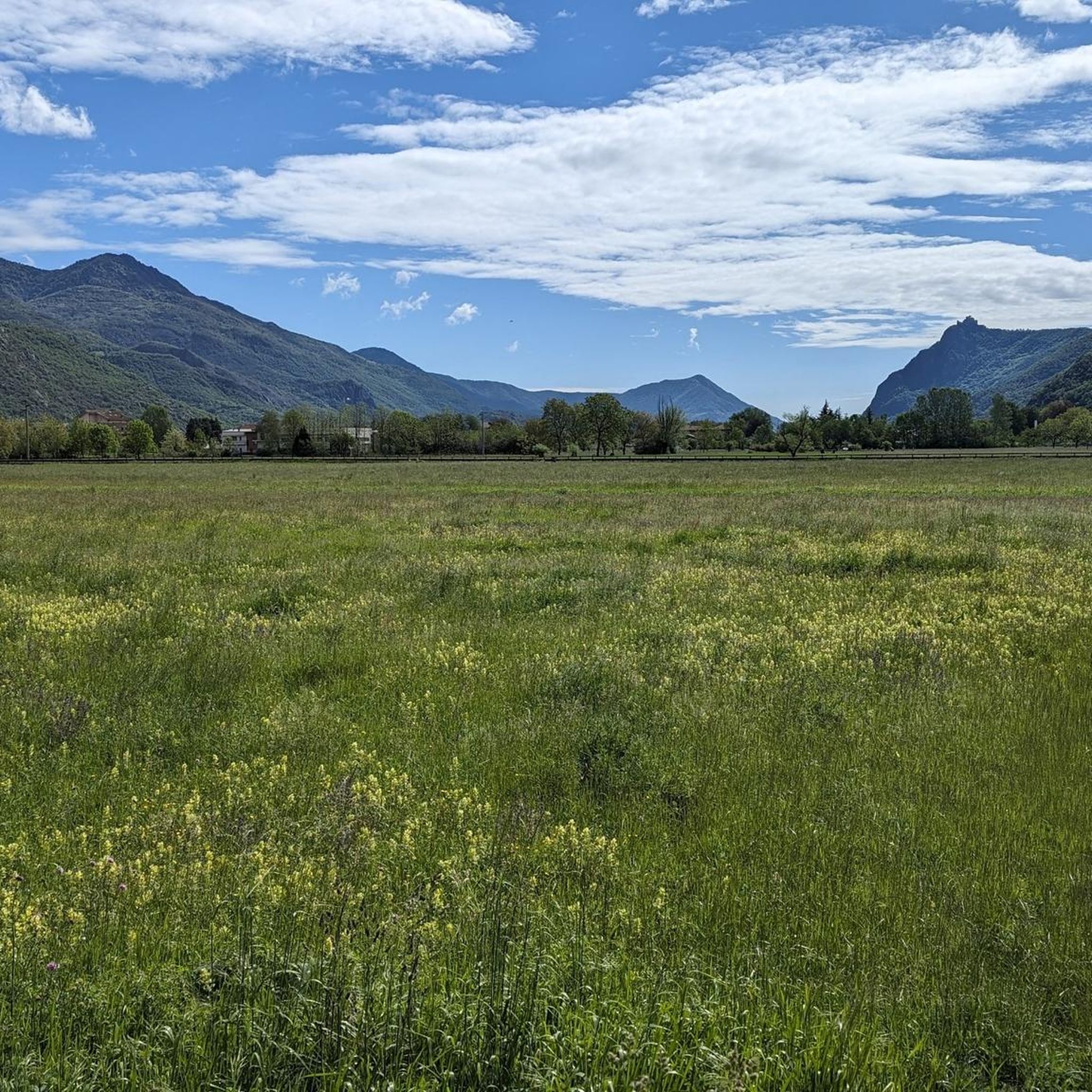
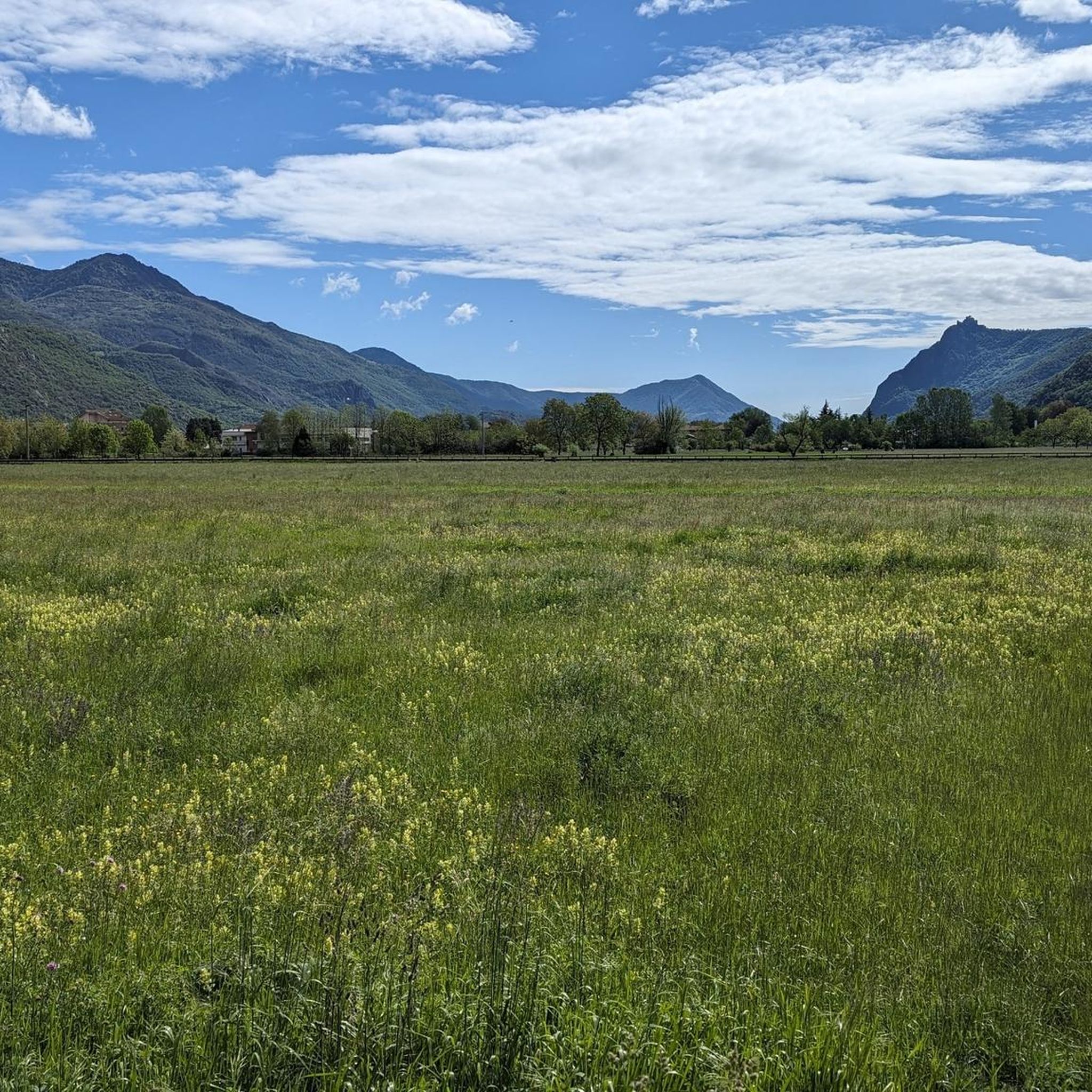
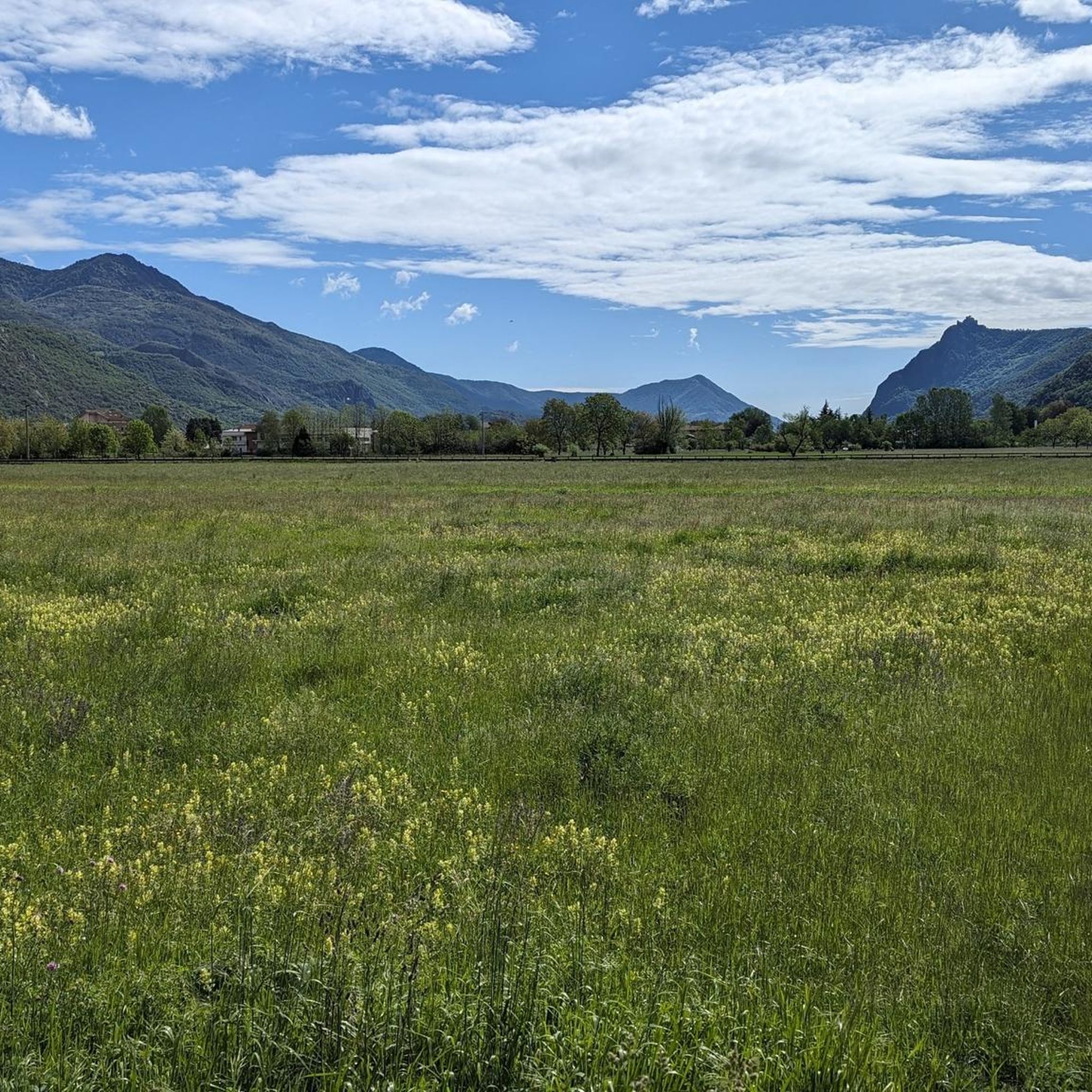
A very picturesque stretch of cycle path connecting Vaie to Chiusa San Michele.
1
0

The parish church of Sant'Antonino di Susa is one of the oldest in the Susa Valley. In fact, it is already mentioned in documents dating back to 1029. Over time it has undergone renovations and modernizations and today the bell tower is the only part that retains its original style.
1
0
The Prehistory Laboratory Museum collects experimental reconstructions and casts of archaeological finds found in the Vaie area. Established in 2000, this museum is an interesting stop if you want to delve deeper into pre-protohistoric archaeology. It is also suitable for children and you can find more information (such as timetables and fares) on the website: https://www.museopreistoriavaie.it/
2
0

cyclostrada that connects the various villages of the valley
2
0
Frequently Asked Questions
What types of running routes can I find around Sant'Antonino di Susa?
Sant'Antonino di Susa offers a diverse range of running experiences, from gentle paths to more challenging mountain routes. You'll find trails through natural parks like Parco Naturale Orsiera Rocciavrè, serene paths around the lakes of Parco Naturale dei Laghi di Avigliana, and riverside routes along the Dora Riparia. Many trails also trace ancient Roman and medieval paths, adding a historical dimension to your run.
Are there running trails suitable for beginners or those looking for an easy jog?
Yes, the area provides options for various fitness levels. While many routes are moderate, there are at least 2 easy running routes available. These typically feature gentler terrain and less elevation gain, perfect for a relaxed run. For example, the Running loop from Sant'Antonino di Susa offers gentle elevation changes, providing an accessible experience.
What are the typical distances and durations for running routes in Sant'Antonino di Susa?
The running routes vary in length and duration. For instance, the popular Running loop from Sant'Antonino - Vaie is about 3.9 miles (6.3 km) and takes around 45 minutes. Longer routes like the Piana di Vaie loop from Sant'Antonino - Vaie extend to 8.4 miles (13.5 km), offering longer running opportunities.
Are there any challenging running routes for experienced runners?
Absolutely. For those seeking a more demanding run, there are 3 difficult routes available. These trails often feature significant elevation changes and varied terrain. An example is the Punto panoramico loop from Sant'Antonino - Vaie, which includes over 500 meters of ascent, providing a rigorous workout and rewarding views.
Can I find circular running routes in the Sant'Antonino di Susa area?
Yes, many of the running routes in Sant'Antonino di Susa are designed as loops, allowing you to start and finish in the same location. Popular options include the Running loop from Sant'Antonino - Vaie and the Ghiacciaia Casasco loop from Sant'Antonino - Vaie, which offer varied scenery without retracing your steps.
What natural attractions or landmarks can I see while running in Sant'Antonino di Susa?
The region is rich in natural beauty. You can run through the stunning Alpine scenery of the Susa Valley, past glacial lakes, and through dense woodlands. Keep an eye out for wildlife in Parco Naturale Orsiera Rocciavrè. If you're interested in waterfalls, consider exploring highlights like the Goja del Pis Waterfall or Leuja Scura Waterfall, which are accessible from nearby trails.
Are the running trails in Sant'Antonino di Susa dog-friendly?
While specific regulations for each trail can vary, generally, the natural parks and many outdoor trails in the Susa Valley are welcoming to dogs, especially if kept on a leash. It's always a good idea to check local signage and be mindful of wildlife, particularly in protected areas like Parco Naturale Orsiera Rocciavrè.
What is the best season for running in Sant'Antonino di Susa?
Sant'Antonino di Susa offers great running conditions across multiple seasons. Spring and autumn provide pleasant temperatures and vibrant scenery. Summer is also excellent, especially for shaded forest trails or higher-altitude routes. Even winter can be suitable for running on lower-elevation paths, though some mountain trails might require specific gear or be inaccessible due to snow.
Are there options for public transport to access running routes in the area?
Sant'Antonino di Susa is located in the Susa Valley, which has a regional train line connecting various towns. While specific trailheads might require a short walk or local bus connection from train stations, public transport can be a viable option for reaching the general area and starting points for many runs. It's advisable to check local bus schedules for connections to more remote trailheads.
What do other runners say about the trails in Sant'Antonino di Susa?
The running routes in Sant'Antonino di Susa are highly rated by the komoot community, with an average score of 4.7 stars from over 15 reviews. Runners often praise the stunning Alpine scenery, the variety of terrain, and the well-maintained paths that cater to different fitness levels. Many appreciate the blend of natural beauty with historical elements found along the trails.
Are there any historical routes I can follow while running?
Yes, the Susa Valley has a rich history, serving as an important transit route since Roman times and a segment of the Via Francigena pilgrimage route. Many jogging paths trace these ancient routes, offering a unique cultural experience. You might even pass by historical landmarks or have views of nearby Susa with its ancient Roman Arch of Augustus.
Are there running routes suitable for families with children?
Yes, the region offers several family-friendly running options, particularly the easier, flatter paths around the lakes in Parco Naturale dei Laghi di Avigliana or along the Dora Riparia River. These routes are generally less strenuous and provide opportunities for children to enjoy the outdoors while jogging or walking alongside.
Most popular routes around Sant'Antonino Di Susa
Most popular attractions around Sant'Antonino Di Susa

Get inspired with the komoot mobile app


Explore more
Browse the best Running Trails & Routes in other regions.
