The best mountain hikes around Sant'Antonino Di Susa
4.4
(17)
199
hikers
11
hikes
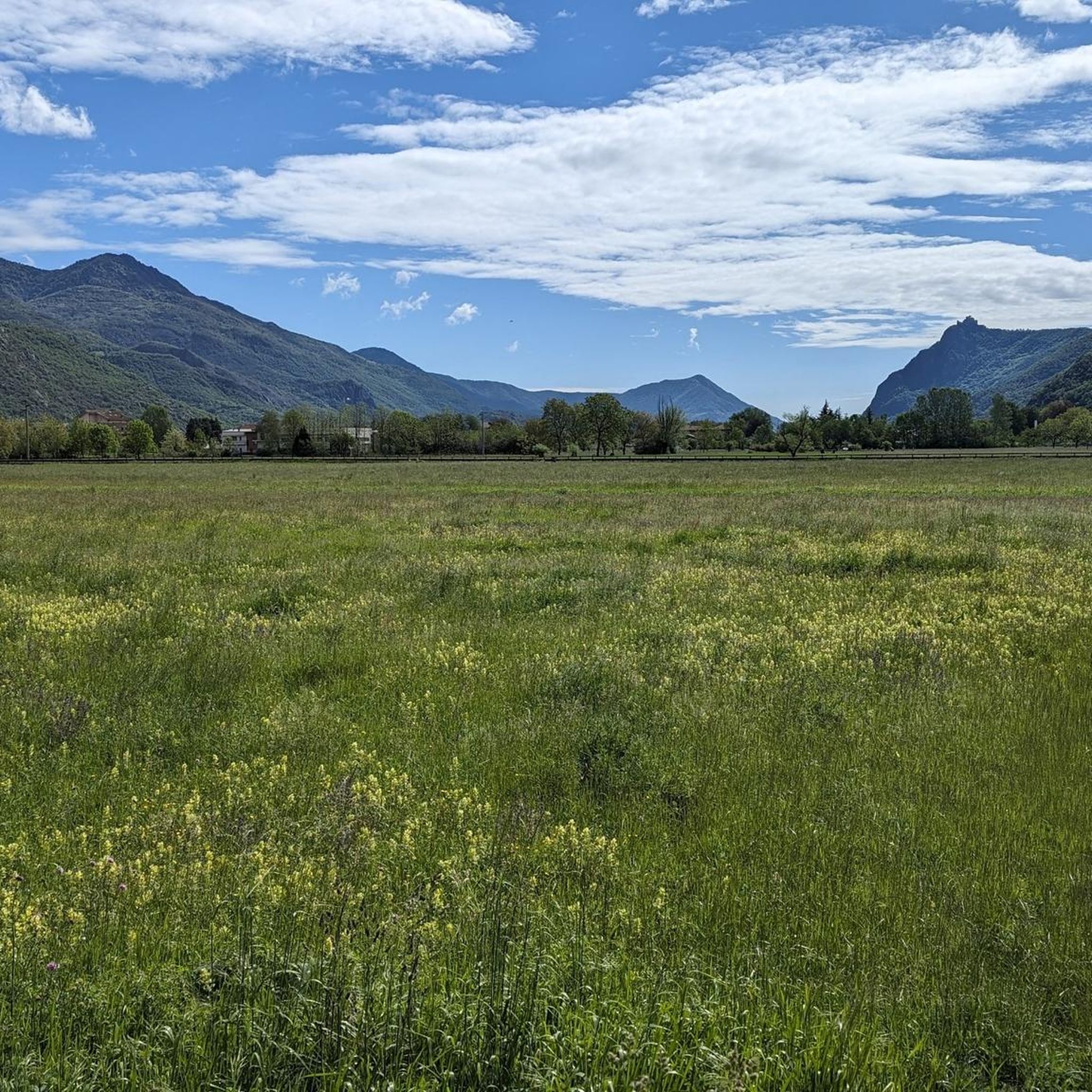
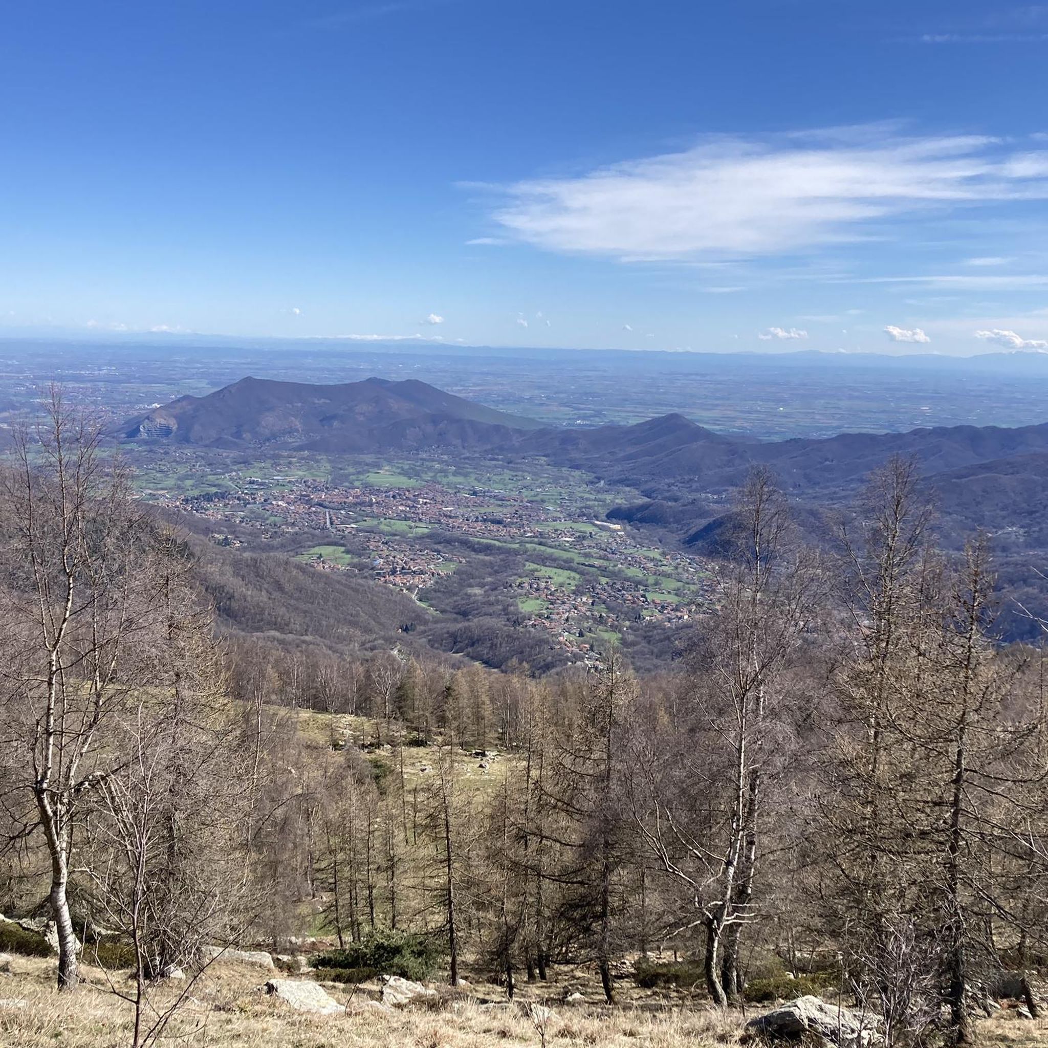
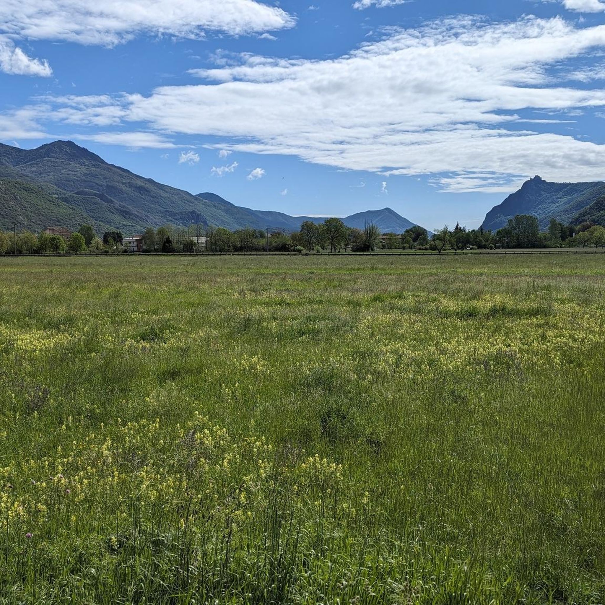
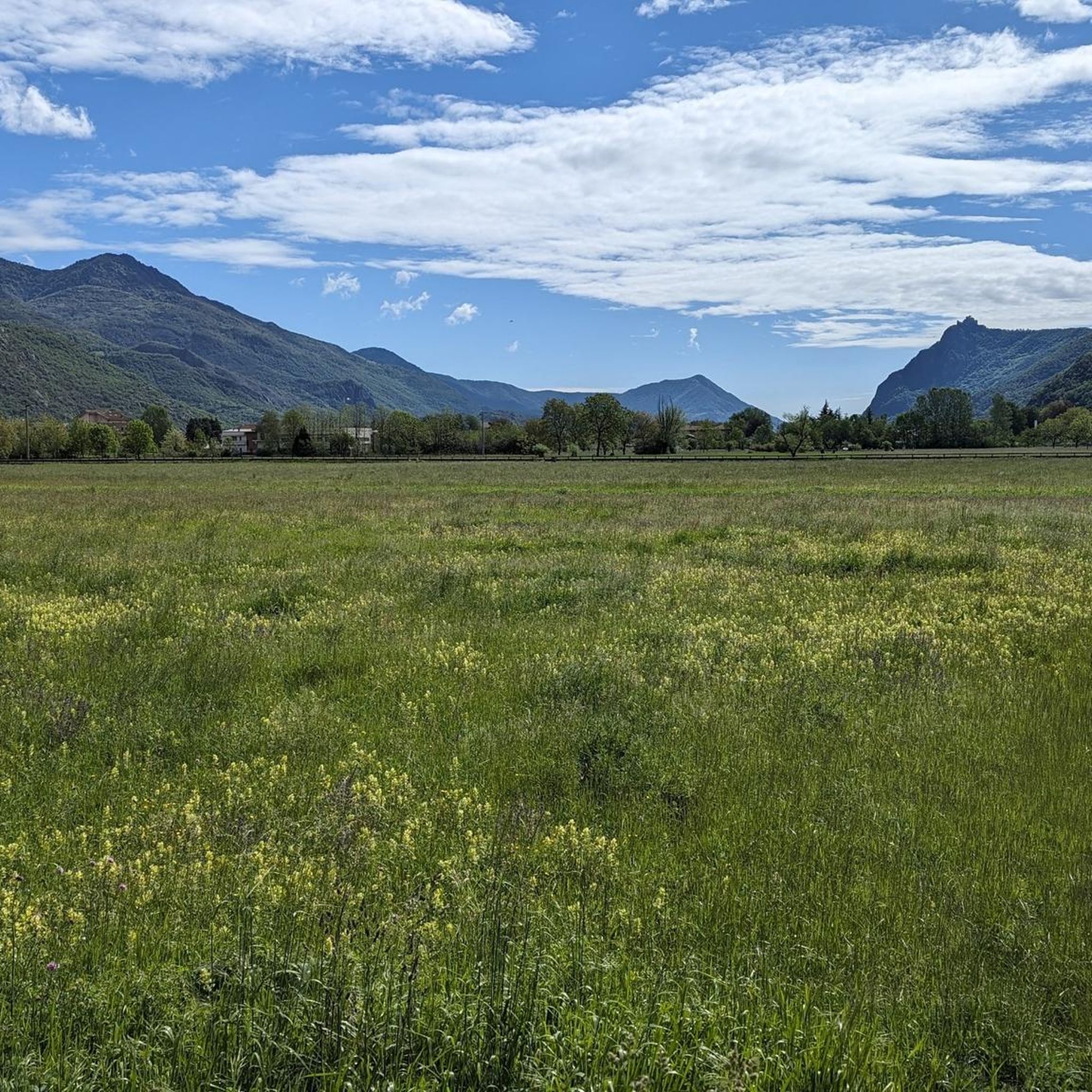
Mountaineering routes Sant'Antonino Di Susa are situated in Italy's Susa Valley, offering access to the Graian and Cottian Alps. The region is characterized by dramatic Alpine scenery, featuring towering peaks, verdant forests, and glacial lakes. The Orsiera Rocciavrè Natural Park provides a diverse mountainous landscape with terrains ranging from gentler slopes to rugged, high-altitude challenges, sculpted by ancient glaciers into distinctive ravines and rock formations.
Best mountaineering routes around Sant'Antonino Di Susa
- The most popular mountaineering route is Cesana Tibetan Bridge loop from Sant'Ambrogio di Torino, a 3.8 miles (6.2 km) trail that takes 4 hours 24 minutes to complete. This difficult route offers challenging ascents and panoramic views.
- Another top favourite among local mountaineers is Punta dell'Aquila Summit Cross loop from Alpe Colombino, a moderate 5.6 miles (9.1 km) path. This route features significant elevation gain and leads to a summit cross with expansive vistas.
- Local mountaineers also love the Mountaineering loop from Caprie, a 2.4 miles (3.8 km) trail leading through varied Alpine terrain, often completed in about 2 hours 23 minutes.
- Mountaineering around Sant'Antonino Di Susa is defined by towering peaks, verdant forests, and distinctive ravines and rock formations. The network of routes offers options for different ability levels, from demanding itineraries to challenging day hikes.
- The routes in Sant'Antonino Di Susa are highly rated by the komoot community with an average score of 4.4 stars from more than 10 reviews. More than 100 mountaineers have used komoot to explore Sant'Antonino Di Susa's varied terrain.
Last updated: May 20, 2026
4.8
(10)
112
hikers
Hard mountaineering route. Good fitness required. Sure-footedness, sturdy shoes and alpine experience required.
4.6
(5)
41
hikers
9.08km
04:29
810m
810m
Moderate mountaineering route. Good fitness required. Mostly accessible paths. Sure-footedness required.

Sign up for free
11
hikers
3.89km
02:25
460m
460m
Hard mountaineering route. Good fitness required. Sure-footedness, sturdy shoes and alpine experience required.
5.0
(1)
8
hikers
Hard mountaineering route. Good fitness required. Sure-footedness, sturdy shoes and alpine experience required.
6
hikers
8.80km
05:04
900m
900m
Hard mountaineering route. Very good fitness required. Sure-footedness, sturdy shoes and alpine experience required.
Get access to more routes and recommendations from other explorers.
Sign up for free
Already have an account?
Our route recommendations are based on thousands of hikes, rides, and runs completed by other people on komoot.
Start today with a free account
Your next adventure awaits.
Login or Signup

Tips from the Community

Once we reach the end of the road, the Eagle monument confirms that we've made it. It deserves praise just for that. And besides, it looks good on its own.
0
0

A grand 13th-century abbey, with walls as strong as the faith of its founders, evocative for its location and history, it's definitely worth a visit. A little trivia: Umberto Eco drew inspiration from this place for the setting of his masterpiece.
4
0
Steep climb to the hamlet of San Pietro, which can become a real Stations of the Cross if you get too excited! Beautiful views of San Michele and wonderful woods.
0
0

Accessible from multiple directions, both on asphalt and trail. Ideal stopping point
1
0


Beautiful Tibetan bridge on the Giorda Sacra San Michele via ferrata. First part is unsteady, then after the first "U" it becomes more stable
1
0
Frequently Asked Questions
What is the general difficulty level of mountaineering routes around Sant'Antonino Di Susa?
The mountaineering routes around Sant'Antonino Di Susa are predominantly challenging. Out of the 13 routes listed, 12 are rated as difficult, with one moderate option. These routes often feature significant elevation gains and rugged Alpine terrain, making them suitable for experienced mountaineers. For example, the Cesana Tibetan Bridge loop from Sant'Ambrogio di Torino is a difficult route with challenging ascents.
What are the typical distances and durations for mountaineering routes in this area?
Mountaineering routes near Sant'Antonino Di Susa vary in length and duration. You can find shorter, more intense climbs like the Mountaineering loop from Caprie, which is about 2.4 miles (3.8 km) and takes around 2 hours 23 minutes. Longer routes, such as the Punta dell'Aquila Summit Cross loop from Alpe Colombino, span about 5.6 miles (9.1 km) and can take over 4 hours to complete, offering substantial elevation gain.
Are there any circular mountaineering routes available near Sant'Antonino Di Susa?
Yes, many of the mountaineering routes around Sant'Antonino Di Susa are designed as loops, allowing you to start and finish at the same point. Examples include the Cesana Tibetan Bridge loop from Sant'Ambrogio di Torino, the Punta dell'Aquila Summit Cross loop from Alpe Colombino, and the Rocca Sella loop from Caprie. These circular paths offer diverse scenery without retracing your steps.
What kind of natural features and landscapes can I expect to see on these mountaineering routes?
The region around Sant'Antonino Di Susa is characterized by dramatic Alpine scenery. You'll encounter towering peaks, verdant forests, and landscapes sculpted by ancient glaciers, resulting in distinctive ravines and rock formations. The routes often traverse the Orsiera Rocciavrè Natural Park, which offers a pristine environment with rich biodiversity.
Are there any notable landmarks or viewpoints along the mountaineering routes?
Yes, the area offers several significant landmarks and viewpoints. For instance, the Madonna della Neve Chapel and Col Bione Fountain is a popular spot with panoramic views of the Sangone Valley. Other notable passes and points of interest include Colle Braida and Colle del Colombardo and Sanctuary, which offer expansive vistas of the surrounding Alpine landscape.
What wildlife might I encounter while mountaineering in the Susa Valley?
While exploring the mountaineering routes, particularly within the Orsiera Rocciavrè Natural Park, you might observe various wildlife. Chamois, deer, and roe deer are commonly seen in the area, adding to the natural allure of the Alpine environment.
What is the best time of year for mountaineering around Sant'Antonino Di Susa?
The best time for mountaineering in the Susa Valley typically spans from late spring through early autumn (May to October), when trails are generally free of snow and weather conditions are more stable. However, the region also offers opportunities for ski mountaineering during winter, allowing exploration of snow-covered peaks for those with appropriate skills and equipment.
Are there any waterfalls to see near the mountaineering routes?
Yes, the region around Sant'Antonino Di Susa features several beautiful waterfalls. You can explore highlights such as the Goja del Pis Waterfall, Leuja Scura Waterfall, and Gravio Waterfall. These natural attractions can be a refreshing addition to your mountaineering adventure.
What do other mountaineers enjoy most about the routes in Sant'Antonino Di Susa?
The mountaineering routes in Sant'Antonino Di Susa are highly rated by the komoot community, with an average score of 4.4 stars from over 10 reviews. Mountaineers often praise the diverse Alpine terrain, the challenging ascents, and the rewarding panoramic views from the summits and passes. The variety of landscapes, from verdant forests to rugged high-altitude areas, is also a frequently highlighted aspect.
Are there any permits required for mountaineering in the Susa Valley?
For general hiking and mountaineering on established trails within the Orsiera Rocciavrè Natural Park, permits are typically not required. However, for specific technical climbing routes, glacier travel, or certain protected areas, it's always advisable to check with local authorities or mountain guides for any specific regulations or permits that might be necessary.
Are there any dog-friendly mountaineering trails in the area?
Many trails in the Susa Valley, especially those outside strictly protected wildlife zones, are generally dog-friendly. However, given the challenging nature of many mountaineering routes, it's crucial to ensure your dog is fit for the terrain and that you carry enough water for both of you. Always keep dogs on a leash, especially in areas with wildlife or livestock, and check specific park regulations for any restrictions.
Can I find accommodation or places to eat in Sant'Antonino Di Susa?
Sant'Antonino Di Susa, being a town in the Susa Valley, offers various amenities for visitors. You can find local cafes, pubs, and restaurants to refuel after your mountaineering adventures. There are also accommodation options available, ranging from hotels to guesthouses, providing a convenient base for exploring the surrounding Alpine region.
Most popular routes around Sant'Antonino Di Susa
Most popular attractions around Sant'Antonino Di Susa

Get inspired with the komoot mobile app


Explore more
Browse the best Mountain Hikes & Routes in other regions.
