The best road cycling routes in the Sierra Nevada
4.6
(180)
9,682
riders
516
rides
Road cycling in the Sierra Nevada offers diverse terrain across towering granite peaks, crystal-clear alpine lakes, and deep valleys. The region features extensive forests and varied landscapes, providing both picturesque and challenging environments for cyclists. Roads often present significant elevation gains, catering to a wide range of fitness levels. This area is characterized by its dramatic glacially-scoured canyons and high-altitude routes.
Best road cycling routes in the Sierra Nevada
- The most popular road cycling route is Lake Tahoe loop, a 73.1 miles (117.7 km) trail that takes 5 hours 31 minutes to complete. This difficult route circles the iconic Lake Tahoe, offering extensive views.
- Another top favourite among local road cyclists is Lake Tahoe Century loop from Truckee, a difficult 90.2 miles (145.1 km) path. This challenging route provides a comprehensive tour of the Lake Tahoe area, starting from Truckee.
- Local road cyclists also love the Yosemite Valley beginner's loop — Yosemite National Park, a 12.6 miles (20.3 km) trail leading through Yosemite Valley, often completed in about 48 minutes.
- Road cycling in the Sierra Nevada is defined by granite peaks, alpine lakes, and deep valleys. The network offers options for easy rides through valleys as well as challenging climbs with significant elevation gains.
- The routes in Sierra Nevada are highly rated by the komoot community with an average score of 4.5 stars from over 130 reviews. More than 8,900 road cyclists have used komoot to explore Sierra Nevada's varied terrain.
Last updated: October 11, 2026
5.0
(6)
745
riders
118km
05:31
1,260m
1,260m
Embark on the Lake Tahoe loop, a challenging racebike route that promises an immersive journey through the Sierra Nevada. This difficult ride spans 73.1 miles (117.7 km) and involves a significant 4130 feet (1259 metres) of elevation gain, typically taking around 5 hours and 31 minutes to complete. As you cycle, you'll experience the changing scenery from dense forests to the sparkling turquoise waters of Lake Tahoe. Keep an eye out for the distinctive granite boulders lining the shore near Cave Rock, offering a unique visual highlight. The route also guides you past charming lakeside towns and offers expansive views, including the famous vista from Inspiration Point overlooking Emerald Bay.
To make the most of your racebike adventure, consider planning your ride during the shoulder seasons, such as late April to early May or October. This helps you avoid the heavy traffic often encountered on weekends and holidays, ensuring a more peaceful experience. While much of the route follows main roadways, you will find dedicated paved paths in many sections. These paths offer excellent alternatives to navigate around busier car traffic, enhancing your safety and enjoyment on the loop.
This iconic loop is renowned for showcasing the pristine beauty of Lake Tahoe, a natural wonder nestled within the Sierra Nevada mountains. The route provides a comprehensive tour of the lake's diverse shoreline, from secluded beaches to vibrant lakeside communities. You will encounter a variety of landscapes, from the deep blue of the lake itself to the lush surrounding forests. It's a journey that highlights the unique geological features and the serene atmosphere that makes Lake Tahoe a premier destination for outdoor enthusiasts.
5.0
(6)
739
riders
145km
06:44
1,550m
1,540m
The Lake Tahoe Century loop from Truckee offers a truly epic road cycling adventure, wrapping you in stunning Sierra Nevada scenery. You'll pedal past the iconic Emerald Bay, with its distinctive green waters, and enjoy the pristine, undeveloped shores of Sand Harbor. The route takes you through dense forests and offers breathtaking vistas of Lake Tahoe, making the challenging 90.2-mile (145.1 km) distance and 5070 feet (1545 metres) of elevation gain feel incredibly rewarding. Expect a difficult ride that takes around 6 hours and 43 minutes, best suited for experienced cyclists ready for a big day in the saddle.
Planning your ride requires some thought. Traffic can be a factor, especially during peak season and around the more populated areas of the North and South Shores, so an early start on a weekday is often your best bet. Be aware that some parts of the route, particularly around Emerald Bay, can have narrow roads and limited shoulder space. Always check local conditions and be prepared for high-altitude cycling, which will impact your performance.
This route is considered a bucket-list challenge for good reason, blending strenuous cycling with unparalleled natural beauty. The core of this century ride incorporates the famous 72-mile Lake Tahoe Loop, often hailed as "America's Most Beautiful Ride." Beyond the stunning views, you'll be riding through an area rich in history, with sections that follow old emigrant trails and railroad paths, adding another layer to this premier road cycling destination.

4.0
(2)
159
riders
20.3km
00:48
100m
100m
Imagine road cycling through the heart of Yosemite Valley on an easy 12.6 miles (20.3 km) route. You will experience a gentle ride with only 340 feet (104 metres) of elevation gain, typically completed in about 48 minutes. This paved loop offers continuous views of iconic landmarks like El Capitan and Half Dome, allowing you to pedal alongside the Merced River and through lush meadows. It is a perfect way to immerse yourself in the valley's grandeur.
The route is entirely paved, making it ideal for road bikes, and you can find bike rentals conveniently located within the valley. To make the most of your ride and avoid crowds, especially during peak summer months, consider starting early in the morning or planning your visit during the shoulder seasons. Remember that the National Park Service requires you to stay on paved roads open to cars and designated bike paths. This ensures a smooth and regulated experience as you explore.
This trail provides unparalleled close-up views of Yosemite's most famous natural wonders, including Yosemite Falls and Bridalveil Fall. The mostly flat terrain makes it accessible for all skill levels, offering a unique perspective of the colossal granite monoliths. It is a quintessential Yosemite experience, allowing you to connect with the park's majestic landscape at a comfortable pace.
5.0
(3)
134
riders
64.6km
02:55
660m
670m
Embark on the Lookout Mountain loop, a moderate racebike route spanning 40.1 miles (64.6 km) with a significant elevation gain of 2174 feet (663 metres). You can expect to complete this ride in about 2 hours and 55 minutes, experiencing varied terrain that includes both challenging ascents and exhilarating descents. As you cycle, you will encounter sections of paved multi-use paths, such as the scenic Truckee River Path or the West Shore Path, offering beautiful views of Lake Tahoe. Keep an eye out for Brockway Summit, where you will be rewarded with expansive vistas of the surrounding landscape. The route provides a substantial workout while immersing you in the natural environment of the Tahoe City area.
For your visit, parking is typically available in Tahoe City, which makes for a convenient starting point for this cycling adventure. If your route includes main roads around Lake Tahoe, you might find it beneficial to ride on Saturday or Sunday mornings to encounter less traffic. Always remember to check local conditions before you head out, especially during the spring and fall, as the weather in this region can be unpredictable. Being prepared ensures a smoother and more enjoyable ride.
While a specific
4.0
(1)
113
riders
80.5km
04:31
1,770m
1,770m
Prepare for a challenging road cycling adventure from Yosemite Valley up to Glacier Point and back. This difficult route spans 50.0 miles (80.5 km) and demands a significant climb of 5806 feet (1770 metres), typically taking around 4 hours and 31 minutes to complete. As you ascend, you'll experience the changing landscape of Yosemite National Park, with the iconic granite faces of Half Dome and El Capitan emerging into view, culminating in the expansive vistas from Glacier Point itself.
Planning your ride requires attention to seasonal conditions. Glacier Point Road, which forms a significant part of this route, occasionally opens exclusively for cyclists in the spring before vehicles are permitted. During these special
5.0
(1)
135
riders
23.7km
01:22
430m
430m
Get ready for a moderate road cycling adventure on the Lakes Basin Path, a route spanning 14.7 miles (23.7 km). You will climb 1404 feet (428 metres) over an estimated 1 hour and 21 minutes, making it a rewarding ride. The path takes you through towering pines and alongside rushing creeks, offering stunning views of the alpine landscape. You will wind past beautiful spots like Lake Mary and Horseshoe Lake, and enjoy a fantastic view of Twin Lakes. Look out for unique sections that go over a waterfall and through tunnels, adding visual interest to your journey.
Planning your visit is straightforward, especially with the free Lakes Basin Trolley. This service runs seasonally from late May through early September and comes equipped with bike trailers. You can use it to transport your bike to higher elevations, allowing for a mostly downhill ride back to town. Remember that this is a multi-use trail, so be mindful of hikers and other cyclists you might encounter along the way.
The Lakes Basin Path connects the town of Mammoth Lakes to a series of beautiful alpine lakes within the Inyo National Forest. This paved multi-use trail offers a convenient way to explore the area's natural beauty. It is a great option if you are looking for a scenic ride that combines physical activity with picturesque views and unique natural features.
71
riders
35.5km
01:37
370m
380m
Embark on the June Lake Loop, a moderate road cycling route spanning 22.1 miles (35.5 km) with an elevation gain of 1229 feet (375 metres). This scenic journey, estimated to take 1 hours and 36 minutes, guides you through the Inyo National Forest, past four picturesque alpine lakes: June, Gull, Silver, and Grant. You will experience diverse landscapes, from sandy lakeshores to thick pine forests and vibrant aspen groves, especially beautiful in the fall. The winding, rolling mountain road offers a peaceful atmosphere for your ride.
Planning your visit is best from late spring to early fall, typically May through October, as winter conditions can be unpredictable. You can find multiple convenient starting points with parking available, such as the June Lake Junction Shell Station, Oh Ridge lookout, or June Lake Beach. Restrooms and water access are also provided at various campgrounds located along the route, ensuring a comfortable experience.
This popular route is celebrated for its stunning natural beauty and tranquil setting, making it a rewarding experience for intermediate cyclists. As you cycle, you will enjoy breathtaking views of the towering Eastern Sierra mountains and even catch distant glimpses of Mono Lake. The diverse landscapes, including brushy hillsides and dense forests, contribute to the unique character of this Eastern Sierra gem.
5.0
(1)
67
riders
25.5km
01:15
370m
370m
Embark on the Mammoth Scenic Loop, a moderate racebike route spanning 15.8 miles (25.5 km) through the Inyo National Forest. You will experience a rewarding ride with 1224 feet (373 metres) of elevation gain, typically completed in about 1 hour and 15 minutes. The route winds through a dense Jeffrey pine forest, where you can often catch the distinct scent of vanilla from the trees. Keep an eye out for vibrant wildflowers lining the road and the chance to spot deer. While the forest canopy provides a serene atmosphere, on clear days you might glimpse the distant Sherwins and White Mountains.
Planning your visit to the Mammoth Scenic Loop is straightforward, especially during the summer months when it is a popular choice for road bikers. You will find wide shoulders along the route, which contribute to a safer cycling experience compared to busier roads like Highway 395. Parking is generally available, making access to the trailhead convenient for your ride. Consider starting your journey earlier in the day to enjoy cooler temperatures and potentially fewer people on the path.
This route is notable for its unique geological features, including the Inyo Craters. These fascinating volcanic formations were created by ancient steam blast eruptions and are a significant natural attraction you can explore along the way. The trail offers a distinct experience of the region's natural environment, showcasing its diverse ecosystem and providing a memorable ride through a landscape shaped by both forest and volcanic activity.
5.0
(1)
60
riders
51.6km
02:20
460m
460m
Embark on the Bartley Ranch to Crystal Peak Park loop for a moderate road cycling adventure that blends urban and natural scenery. This 32.1-mile (51.6 km) route challenges you with 1504 feet (458 metres) of elevation gain, typically taking about 2 hours and 20 minutes to complete. As you cycle, you'll follow sections of the Tahoe-Pyramid Bikeway, enjoying scenic views along the Truckee River. Look forward to the refreshing shade trees at Crystal Peak Park and the expansive vista of Reno from Audrey Harris Park. The varied landscapes make for an engaging and rewarding ride.
Before you set out, know that the route is mostly on well-paved roads, but you might encounter some unpaved or more challenging sections. You should feel comfortable riding alongside traffic on shared road segments, although many streets do provide shoulders or dedicated bike lanes for your safety. Parking is conveniently available at both Bartley Ranch Regional Park and Crystal Peak Park, making it easy to start your journey.
This loop offers a substantial workout for cyclists in the Reno-Verdi area, combining physical challenge with diverse visual interest. The route's design ensures you experience a dynamic mix of environments, from riverside paths to elevated viewpoints. It's an excellent choice if you're looking for a comprehensive tour that highlights the varied landscapes surrounding Reno.
43
riders
54.1km
02:17
340m
340m
Imagine yourself road cycling the Reno to Washoe Lake loop, a moderate ride that takes you through varied landscapes. You'll cover 33.6 miles (54.1 km) and climb 1100 feet (335 metres), a journey that typically takes about 2 hours and 17 minutes. As you pedal, you'll witness the vast expanse of Washoe Lake, framed by the impressive peaks of Mt. Rose and Slide Mountain. The terrain changes from open high desert around the lake to gentle pine-covered foothills, offering a dynamic visual experience. This route is perfect if you're looking for a scenic yet engaging road cycling adventure.
For your ride, consider starting early in the morning, especially on weekends, to avoid heavier traffic on the roads. Washoe Lake State Park is a convenient stop along the route, providing restrooms and water facilities. Keep in mind that these amenities might be closed during the colder winter months. Also, be sure to plan your specific route carefully, as some variations of the loop may involve crossing a freeway.
This loop is a popular choice for road cyclists in the region, known for its diverse scenery and accessible challenge. The route showcases the unique transition from high desert environments to the lower slopes of the Sierra Nevada. It offers a great way to experience the natural beauty surrounding Reno, providing both a good workout and memorable views of the lake and mountains.
Get access to more routes and recommendations from other explorers.
Already have an account?
Our route recommendations are based on thousands of hikes, rides, and runs completed by other people on komoot.
Start today with a free account
Your next adventure awaits.
Popular around Sierra Nevada

John Muir Trail – Along the legendary trail through the magical Sierra Nevada

American Discovery Trail — Walking from sea to shining sea

The Sierra High Route — Solitude in California's alpine country

Pacific Crest Trail from Mexico to Canada – 4,200 kilometres of wilderness
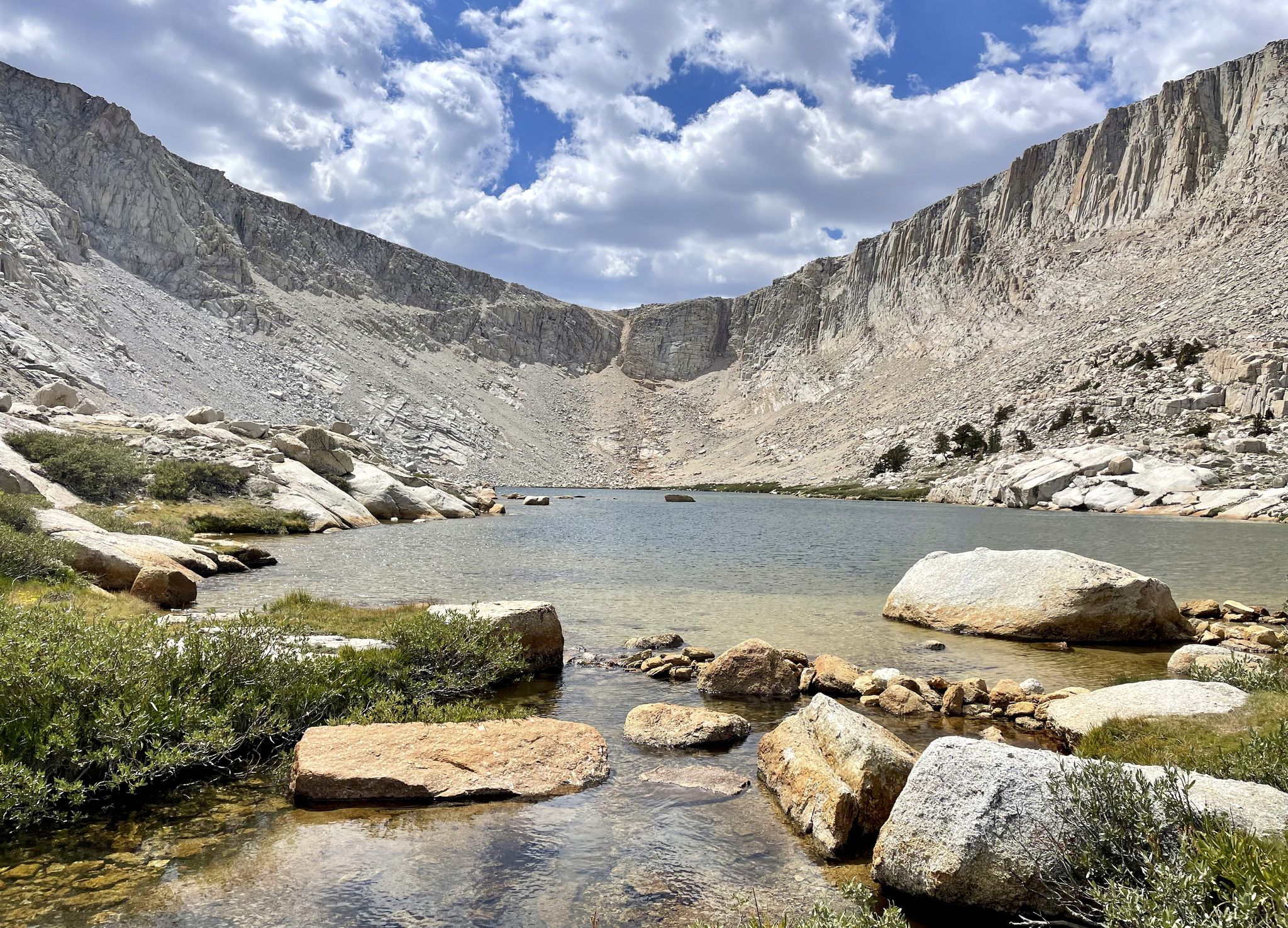
Cottonwood Lakes Loop — Exploring the Golden Trout Wilderness

Tahoe Rim Trail — Hiking along the Jewel of the Sierra

American Discovery Trail — Riding coast to coast
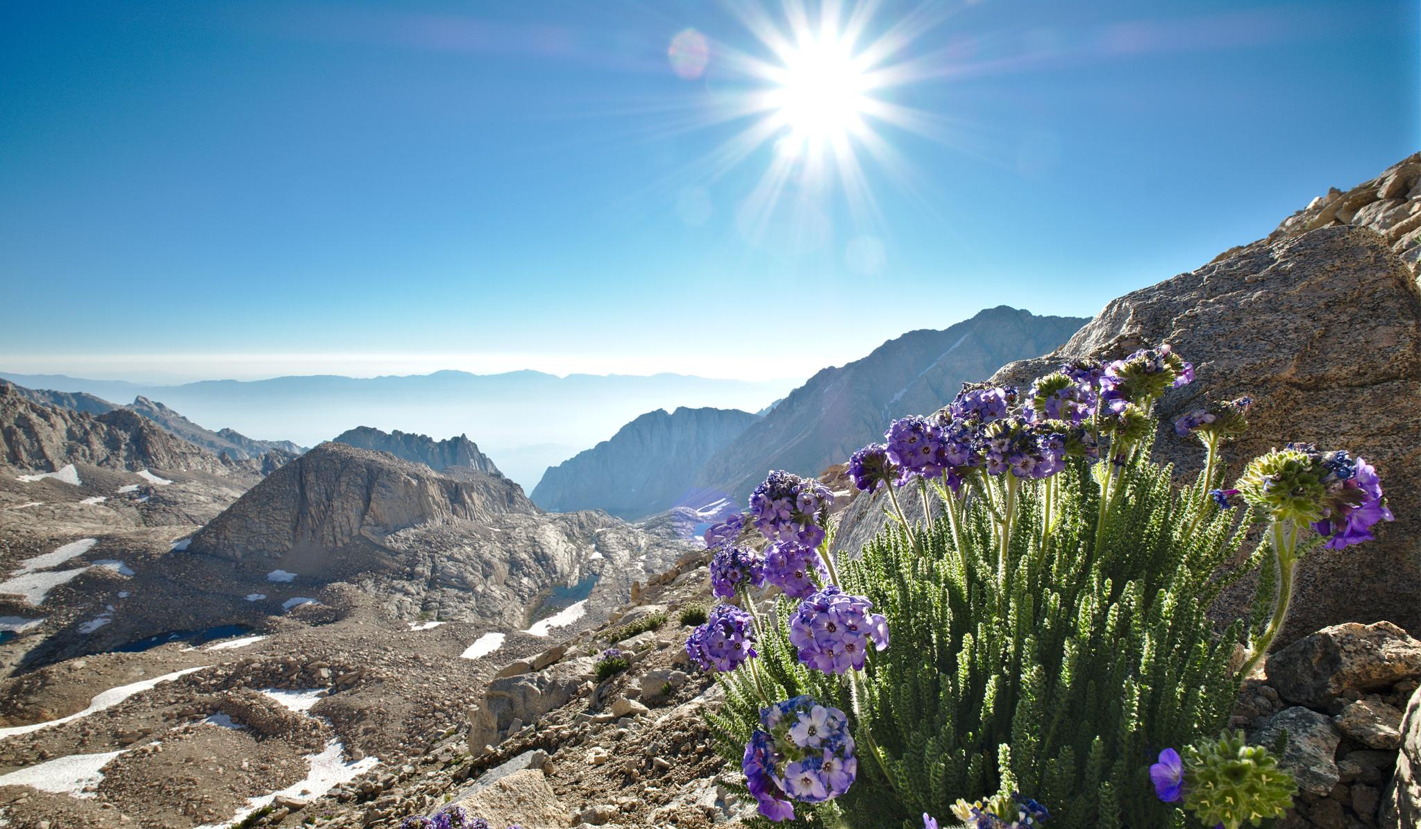
The High Sierra Trail — The Ultimate Sierra Experience

The tour of your life – music trails on the Pacific coast

California to Nevada – hiking between Volcanoes, Water & Forest
Other adventures in the Sierra Nevada


Tips from the Community

Fantastic views. Unfortunately, completely overcrowded.
0
0


One of many excellent Yosemite Valley viewpoints. The valley shows off Half Dome, El Capitan, and Yosemite Falls.
0
0

Depending on which way you're heading this could be your first, or last, view of Yosemite Valley. Regardless of direction you'll want to stop and savour the incredible view.
1
0

In the southern portion of Yosemite, this river is a boisterous cataract plunging down a steep channel. But here, it's more of a meandering channel and rich home for birds and fish. Swimming is generally allowed in calm parts of the river, as long as you enter/exit via sandy beaches to protect the shore from erosion. Watch out for poison oak along the banks!
0
0

Curry Village, located in Yosemite Valley, is a popular spot for food and lodging, offering a range of options to suit different preferences and budgets. For lodging, it provides a mix of accommodations, including canvas tent cabins, wooden cabins, and a limited number of hotel-style rooms. The tent cabins, available in both heated and unheated options, are a rustic yet iconic way to experience the park, while the hard-sided cabins provide more comfort. Each accommodation style offers easy access to the stunning views and nearby trails. When it comes to food, Curry Village has several dining options to keep visitors well-fed after a day of exploring. The Pizza Deck is a favorite, serving freshly made pizzas with outdoor seating that allows you to take in the incredible surroundings. The Coffee Corner is perfect for a morning pick-me-up or a quick snack. Meadow Grill offers burgers, fries, and other casual fare in a laid-back setting, while the Curry Village Dining Pavilion provides buffet-style meals in a family-friendly environment. Seasonal food trucks also appear on occasion, adding variety to the dining scene. The field near Curry Village, officially known as Stoneman Meadow, offers stunning views of some of Yosemite Valley’s most iconic landmarks. From this open area, you can take in breathtaking vistas of Half Dome, its sheer granite face rising dramatically against the sky, especially striking at sunrise or sunset. To the west, you’ll see the towering cliffs of Glacier Point and Sentinel Rock, while the lush greenery of the meadow provides a peaceful contrast to the rugged surroundings. In the spring and early summer, wildflowers often dot the meadow, adding vibrant colors to the scene.
0
0

The Bayview Campground would offer a good parking lot. However, it is now closed until Spring 2025. Maybe one has to consider parking along the street during day trips.
0
0
Frequently Asked Questions
How many road cycling routes are available in the Sierra Nevada?
The Sierra Nevada offers a vast network of road cycling routes, with over 500 tours available on komoot. These routes cater to various skill levels, from leisurely rides to challenging climbs.
What types of road cycling routes can I find in the Sierra Nevada?
You'll find a diverse range of routes, from easy rides through valleys to demanding climbs. Approximately 119 routes are rated as easy, 234 as moderate, and 162 as difficult, ensuring options for every cyclist.
Are there any easy road cycling routes suitable for beginners or families?
Yes, the Sierra Nevada has options for less experienced riders. A great choice is the Yosemite Valley beginner's loop — Yosemite National Park, a 12.6-mile (20.3 km) trail that offers a gentle introduction to road cycling amidst stunning scenery.
Where can I find challenging road cycling climbs in the Sierra Nevada?
For experienced cyclists seeking a challenge, the Sierra Nevada is renowned for its significant elevation gains. Routes like From the Yosemite Valley to Glacier Point and back – Yosemite National Park offer substantial climbs and rewarding views. The region's high-altitude roads provide an excellent training ground.
Are there road cycling routes around Lake Tahoe?
Lake Tahoe is a prime destination for road cyclists. You can enjoy iconic routes such as the Lake Tahoe loop, which circles the entire lake, or the more extensive Lake Tahoe Century loop from Truckee, both offering breathtaking views of the clear blue waters and surrounding mountains.
Can I find road cycling routes in Yosemite National Park?
Absolutely. Yosemite National Park offers incredible road cycling experiences. Beyond the beginner's loop, you can tackle more challenging rides like From the Yosemite Valley to Glacier Point and back – Yosemite National Park, which provides dramatic ascents and panoramic vistas of the valley.
What are some scenic road cycling routes around Mammoth Lakes?
The Mammoth Lakes area features stunning routes amidst alpine scenery. Consider the Lakes Basin loop — Mammoth Lakes, California for a picturesque ride around several pristine lakes, or the Mammoth Scenic Loop — Mammoth Lakes, California for a ride through forested landscapes.
Are there circular road cycling routes in the Sierra Nevada?
Many routes in the Sierra Nevada are designed as loops, allowing you to start and end in the same location. Popular examples include the Lookout Mountain loop — Tahoe City and the June Lake Loop — Mono County, California, both offering diverse scenery and varying levels of difficulty.
What natural attractions can I see along road cycling routes in the Sierra Nevada?
The Sierra Nevada is rich in natural wonders. Many routes pass by or offer views of majestic peaks like Half Dome Summit and Sentinel Dome. You might also encounter stunning waterfalls such as Vernal Fall and Nevada Fall, or ancient giant sequoia trees like the General Sherman Tree.
What do other road cyclists enjoy most about road cycling in the Sierra Nevada?
The Sierra Nevada is highly rated by the komoot community, with an average score of 4.5 stars from over 130 reviews. Cyclists frequently praise the region's breathtaking scenery, diverse terrain, and the challenge of its iconic climbs, often noting the smooth surfaces and low traffic on many routes.
When is the best time of year for road cycling in the Sierra Nevada?
The best time for road cycling in the Sierra Nevada is typically from late spring through early fall (May to October). During these months, mountain passes are generally clear of snow, and the weather is more favorable. Summer offers warm temperatures, while spring and fall provide cooler rides and vibrant foliage.
Are there road cycling routes near Reno, Nevada?
Yes, the Sierra Nevada region extends into Nevada, offering routes near Reno. You can explore options like the Bartley Ranch to Crystal Peak Park loop or the Reno to Washoe Lake loop, which provide scenic rides with moderate elevation changes.
Most popular routes in the Sierra Nevada
Most popular attractions in the Sierra Nevada

Get inspired with the komoot mobile app


Explore more
Browse the best Road cycling routes in other regions.
