The 19 Most Amazing Peaks around Crevoladossola
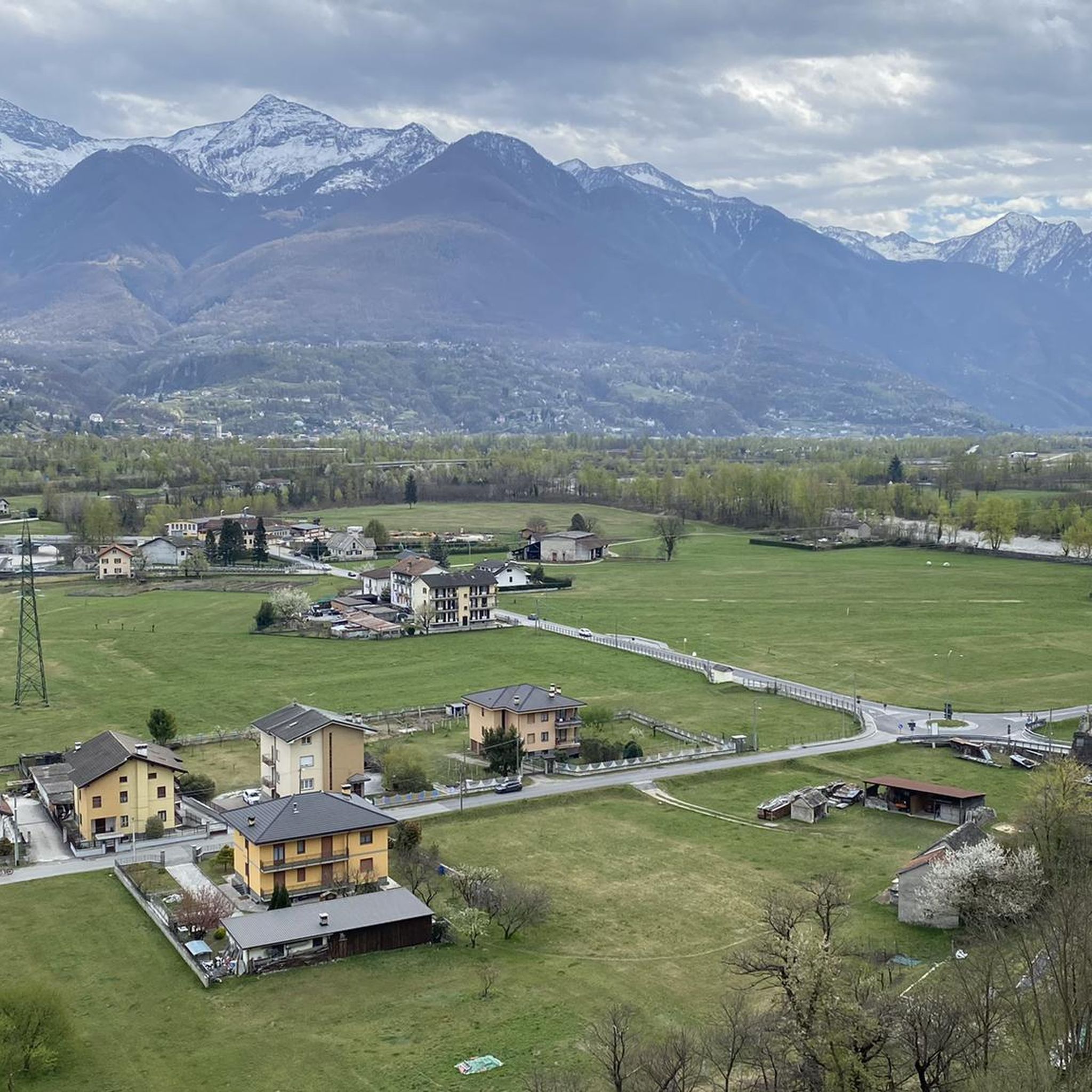
Best mountain peaks around Crevoladossola are found within the scenic Ossola Valley, offering diverse mountain experiences. This region provides access to numerous peaks and an extensive network of hiking trails, including historical routes. Crevoladossola serves as a gateway to the Upper Ossola, connecting the Divedro and Antigorio Valleys. The area is characterized by its mountainous terrain, providing opportunities for both panoramic views and challenging ascents.
Best mountain peaks around Crevoladossola
- The most popular mountain peaks is Crosta Hut, a…
Last updated: August 2, 2026
Monte Cistella
Highlight • Summit
Showing Translation
Tip by

Gattascosa Hut
Highlight • Mountain Hut
Showing Translation
Tip by

Sign up now to discover places like this
Get recommendations on the best single tracks, peaks, & plenty of other exciting outdoor places.
Sign up for free
Crosta Hut
Highlight • Mountain Hut
Translated by Google •
Tip by

Moncucco Peak
Highlight • Summit
Translated by Google •
Tip by

Alpe Parpinasca
Highlight • Mountain Hut
Translated by Google •
Tip by
Sign up for free to discover even more peaks around Crevoladossola.
Sign up for free
Already have an account?
Start today with a free account
Your next adventure awaits.
Login or Signup


Tips from the Community

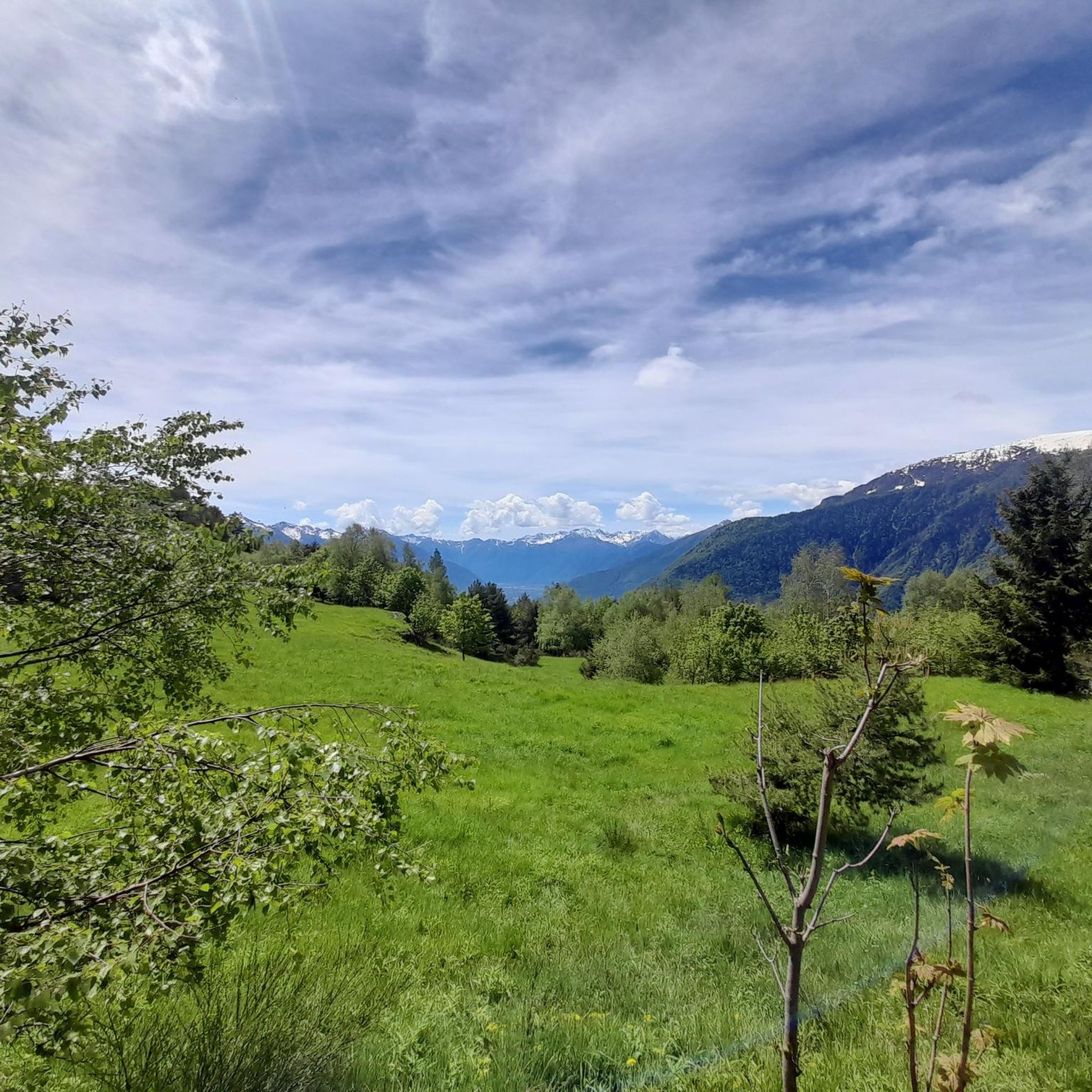
Monte Cistella (2,880 m) is one of the most striking and scenic peaks in the Italian Ossola region of the Lepontine Alps, not far from the Swiss border. Characteristic is its extensive high plateau, which is connected to the neighboring Pizzo Diei (2,906 m). From the summit, the view extends over the Valais four-thousanders, the Monte Rosa massif, the Simplon and, in clear visibility, down to the Po Valley. The most popular route starts in San Domenico via Alpe Ciamporino. From there, allow for approximately 890 meters of altitude gain and about 3½ hours to the summit. The trail is considered a demanding mountain hike (T3) in summer, but is not technically very difficult. If you wish, I can also put together a beautiful circular tour Monte Cistella – Pizzo Diei with walking times and a GPX recommendation.
0
0

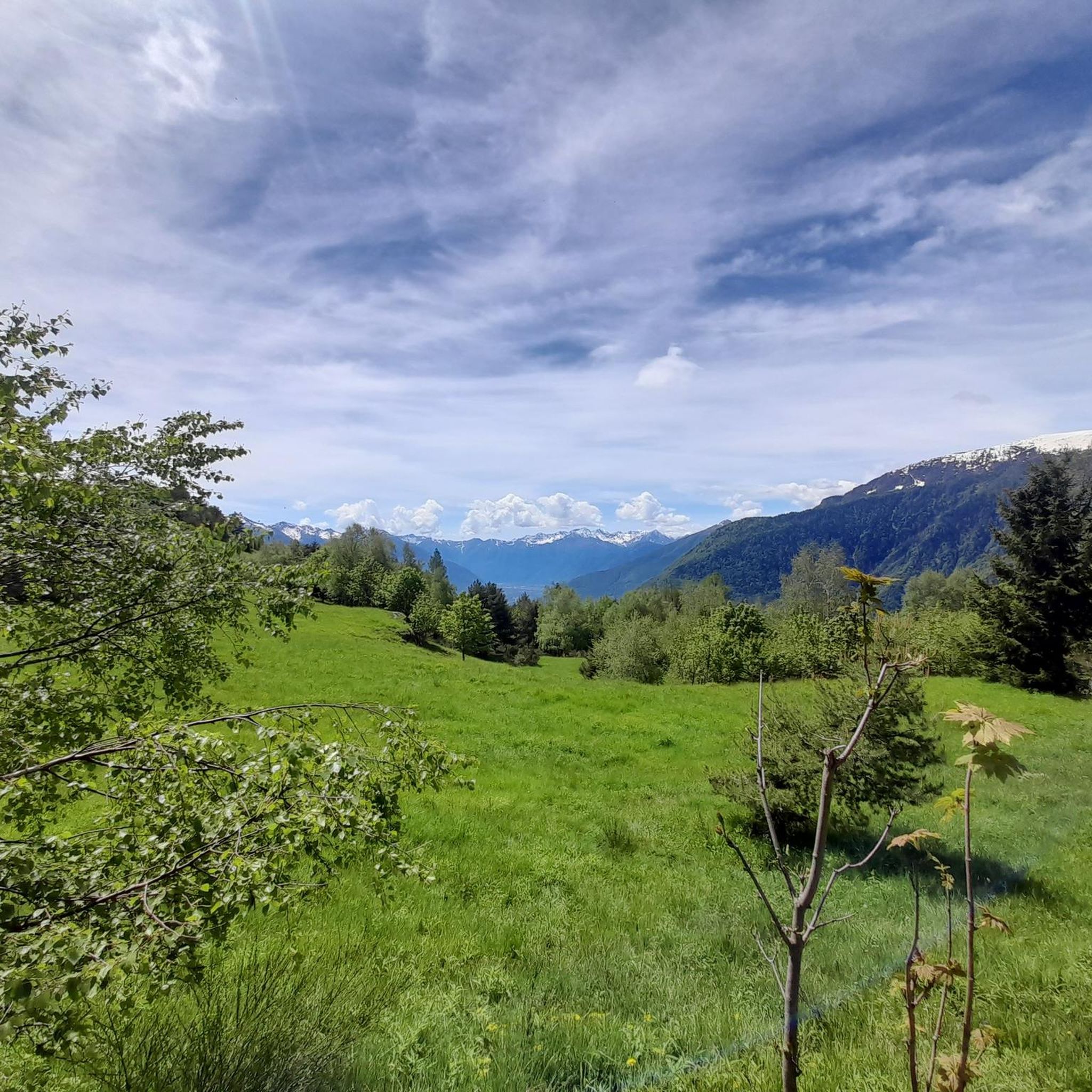
The Rifugio Gattascosa is located at 2,000 meters in the Italian Val Bognanco, just a few minutes' walk from the Swiss border. Surrounded by meadows and forests, the mountain hut is a popular stopover. The menu features regional specialties such as polenta, and accommodation for up to 20 guests is also available.
0
0


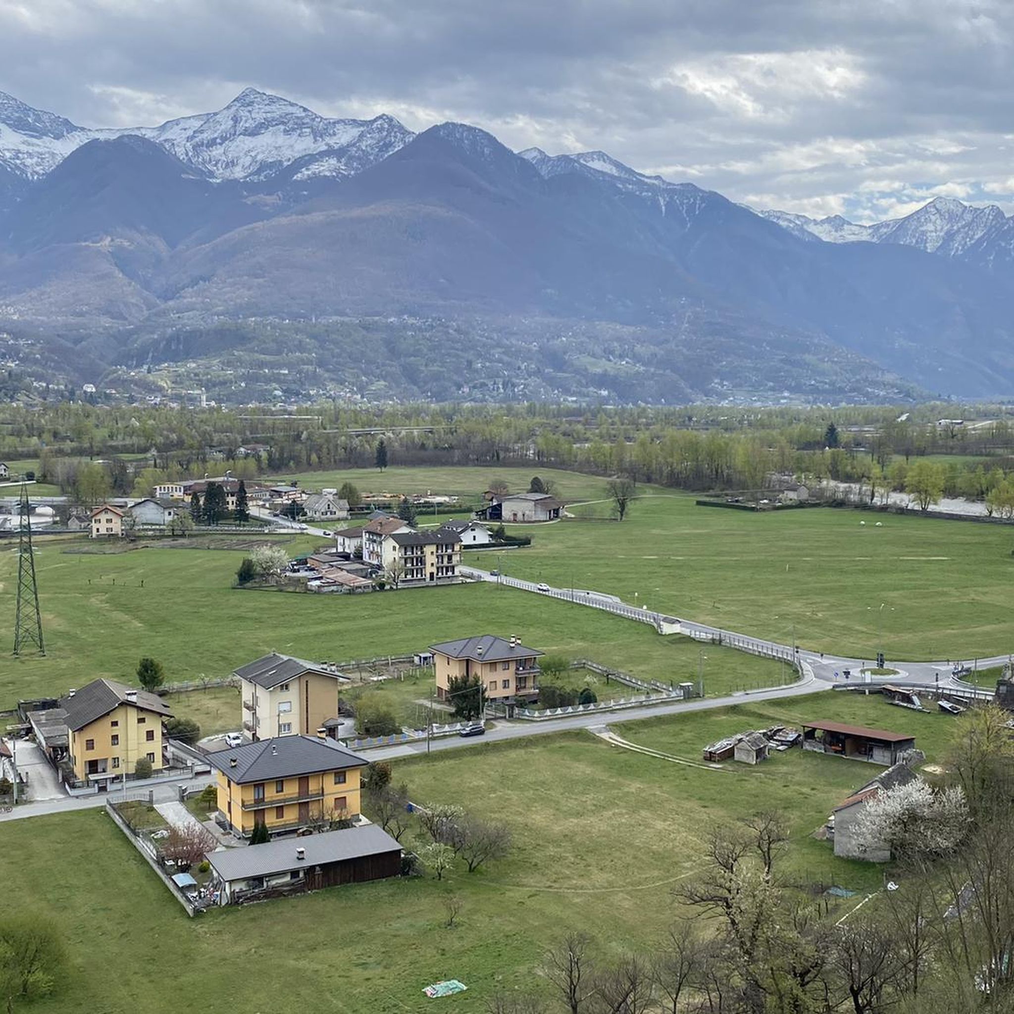
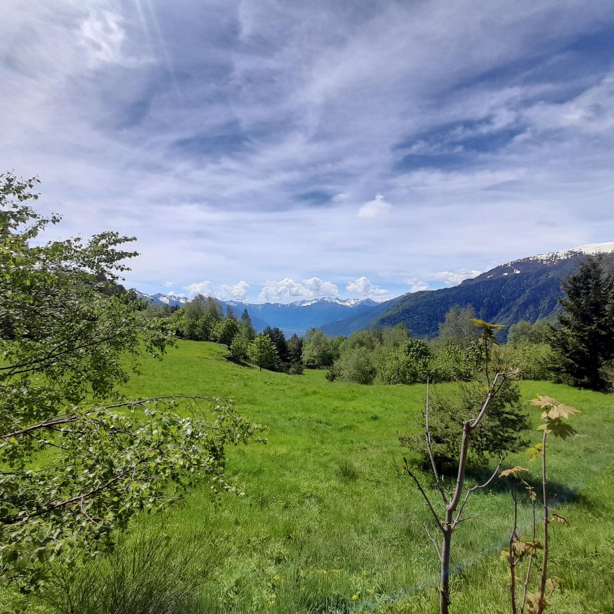
Panoramic peak at 1,896 m above Domodossola, reachable from Domobianca. Varied climb through woods and pastures, with spectacular views of Monte Rosa and the Ossola valleys. The last stretch on the ridge is breathtaking but exposed: it requires sure-footedness and attention, especially in the presence of wind.
0
0

Frequently Asked Questions
What are some prominent mountain peaks and viewpoints around Crevoladossola?
One of the most notable is Moncucco Peak, considered the reference peak of Domodossola, offering panoramic views at 1902 meters. Another significant spot is the Sacred Mount Calvary of Domodossola, a UNESCO World Heritage site that provides commanding views over the city.
Are there any mountain huts or refuges in the area that offer food and lodging?
Yes, the region features several welcoming huts. Crosta Hut, located at 1,751 meters along the Great Crossing of the Alps, is known for its excellent cuisine and breathtaking views of the Val d’Ossola. It also has a winter bivouac. Another popular spot is Gattascosa Hut, which is a great stop for a hearty meal like polenta.
What kind of hiking opportunities are available near Crevoladossola's peaks?
The area around Crevoladossola offers an extensive network of hiking trails, ranging from moderate to difficult. You can explore historical routes like the Via del Gries, which passes through areas of significant natural and historical interest. For more detailed routes, check out the Hiking around Crevoladossola guide, which includes trails like 'Crevoladossola - Alpe Colmine Trail' and 'Via del Gries from Crevoladossola to Arzalovo'.
Are there family-friendly mountain trails or activities near Crevoladossola?
While many trails offer varying difficulties, Alpe Parpinasca is a highlight known for its family-run refuge, offering a welcoming stop in a beautiful natural setting. The broader region also has easier sections of trails suitable for families, especially those exploring the lower altitudes or historical hamlets.
What is the best time of year to visit the mountain peaks around Crevoladossola?
The best time for hiking and exploring the mountain peaks is generally from late spring to early autumn (June to October), when the weather is milder and trails are clear of snow. Huts like Crosta Hut are typically open during this period. Winter offers opportunities for snow-related activities, but requires appropriate gear and experience.
What historical significance do the mountain routes near Crevoladossola hold?
Many mountain routes in the region, such as the Via del Gries and Via Stockalper, were historically vital trade and transit paths. These ancient mule tracks connected different valleys and even crossed into Switzerland, adding a rich cultural and historical layer to the natural beauty. Exploring these routes allows visitors to discover ancient hamlets and learn about the strategic importance of this Alpine crossroads.
Can I reach any of the peaks using lifts or other accessible options?
Moncucco Peak is relatively convenient to access, with various options available from Alpe Lusentino, also known as the "Domobianca" lifts. This makes it easier for visitors to reach higher altitudes and enjoy the views without a full ascent.
What other outdoor activities can I do near the mountain peaks of Crevoladossola?
Beyond hiking, the area is excellent for other outdoor pursuits. You can find numerous routes for gravel biking, with options like the 'Toce Bridge – View of the Toce River loop from Masera'. There are also dedicated Running Trails around Crevoladossola, including loops around the Toce River and through local villages.
Where can I find more information about historical hiking routes like the Via del Gries?
The Via del Gries is a significant historical route in the region. You can find more detailed information and specific itineraries for hiking this route, including sections from Crevoladossola, on the Visit Ossola website: Hiking Via del Gries.
What do visitors appreciate most about the mountain peaks around Crevoladossola?
Visitors frequently praise the breathtaking panoramic views from the summits and viewpoints, the excellent cuisine offered at mountain huts like Crosta Hut, and the diverse network of trails that cater to various skill levels. The combination of natural beauty, historical significance, and welcoming refuges makes for a memorable experience.
Are there any specific trails that offer a good overview of Crevoladossola's hamlets and local culture?
Yes, for those interested in local culture and historical hamlets, there are specific hiking itineraries. The Visit Ossola website provides a route focused on exploring the area: Hiking Crevoladossola and its hamlets.
Most popular routes around Crevoladossola
Most popular attractions around Crevoladossola

Get inspired with the komoot mobile app


Explore more
See even more amazing summits around Crevoladossola with these guides:
