The best walks and hikes around Crevoladossola
4.5
(1441)
7,154
hikers
41
hikes
Hiking around Crevoladossola offers a diverse landscape characterized by the Toce River valley, surrounding hills, and the lower slopes of the Alps. The region features a mix of forested areas, open pastures, and historical paths connecting villages. Hikers can expect varied terrain, from gentle riverside trails to more challenging ascents leading to elevated viewpoints.
Best hiking trails around Crevoladossola
- The most popular hiking route is Crevoladossola - Alpe Colmine Trail (A09), a 7.8 miles (12.5 km) trail that takes…
Last updated: October 10, 2026
4.8
(4)
75
hikers
12.5km
06:35
1,260m
1,260m
Hard hike. Very good fitness required. Mostly accessible paths. Sure-footedness required.
2
hikers
7.03km
02:04
190m
190m
Moderate hike. Good fitness required. Easily-accessible paths. Suitable for all skill levels.

4.8
(6)
41
hikers
10.7km
02:59
200m
200m
Moderate hike. Good fitness required. Easily-accessible paths. Suitable for all skill levels.
4.4
(16)
47
hikers
7.12km
03:26
630m
630m
Moderate hike. Good fitness required. Mostly accessible paths. Sure-footedness required.
4.8
(6)
18
hikers
9.01km
02:30
160m
160m
Moderate hike. Good fitness required. Easily-accessible paths. Suitable for all skill levels.
Get access to more routes and recommendations from other explorers.
Already have an account?
Our route recommendations are based on thousands of hikes, rides, and runs completed by other people on komoot.
Start today with a free account
Your next adventure awaits.


Tips from the Community

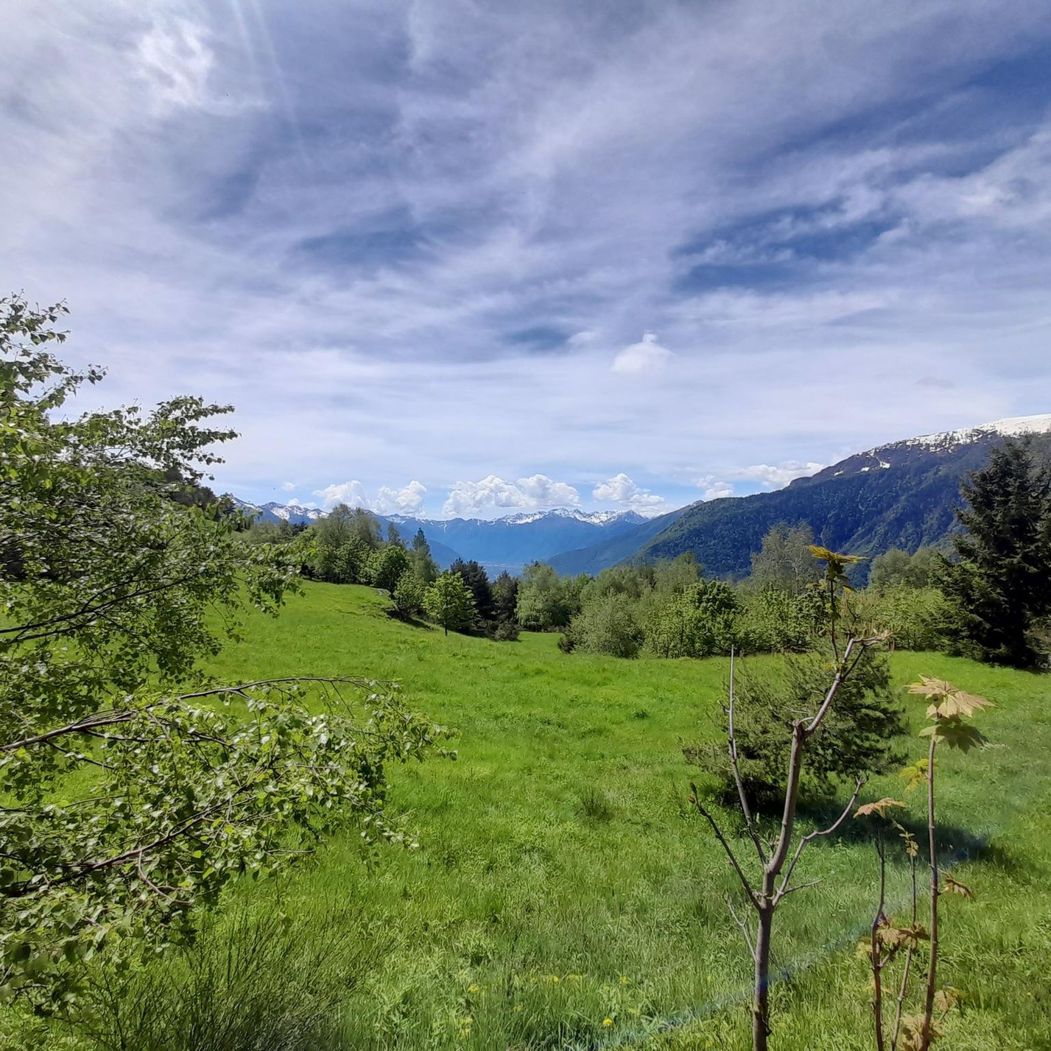
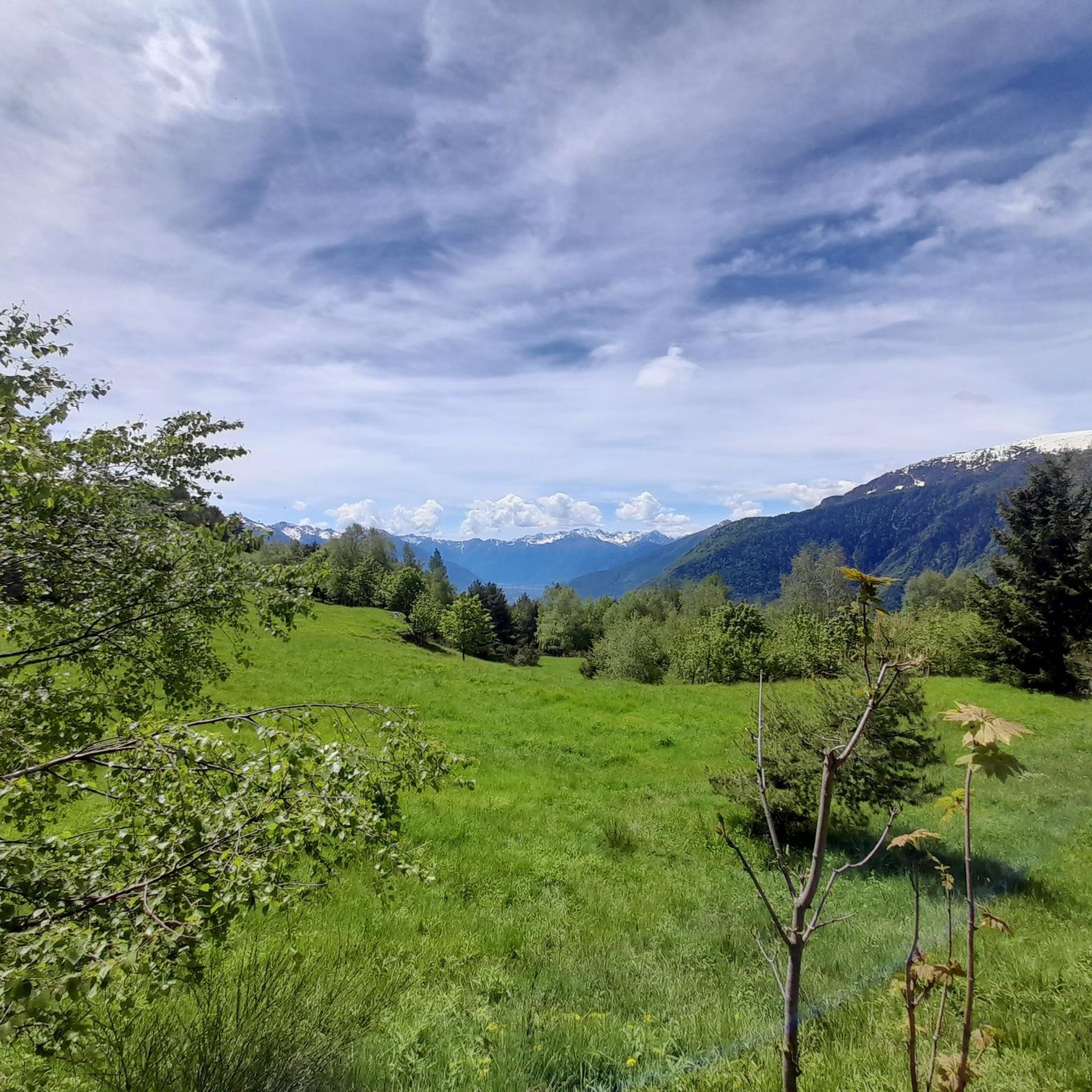
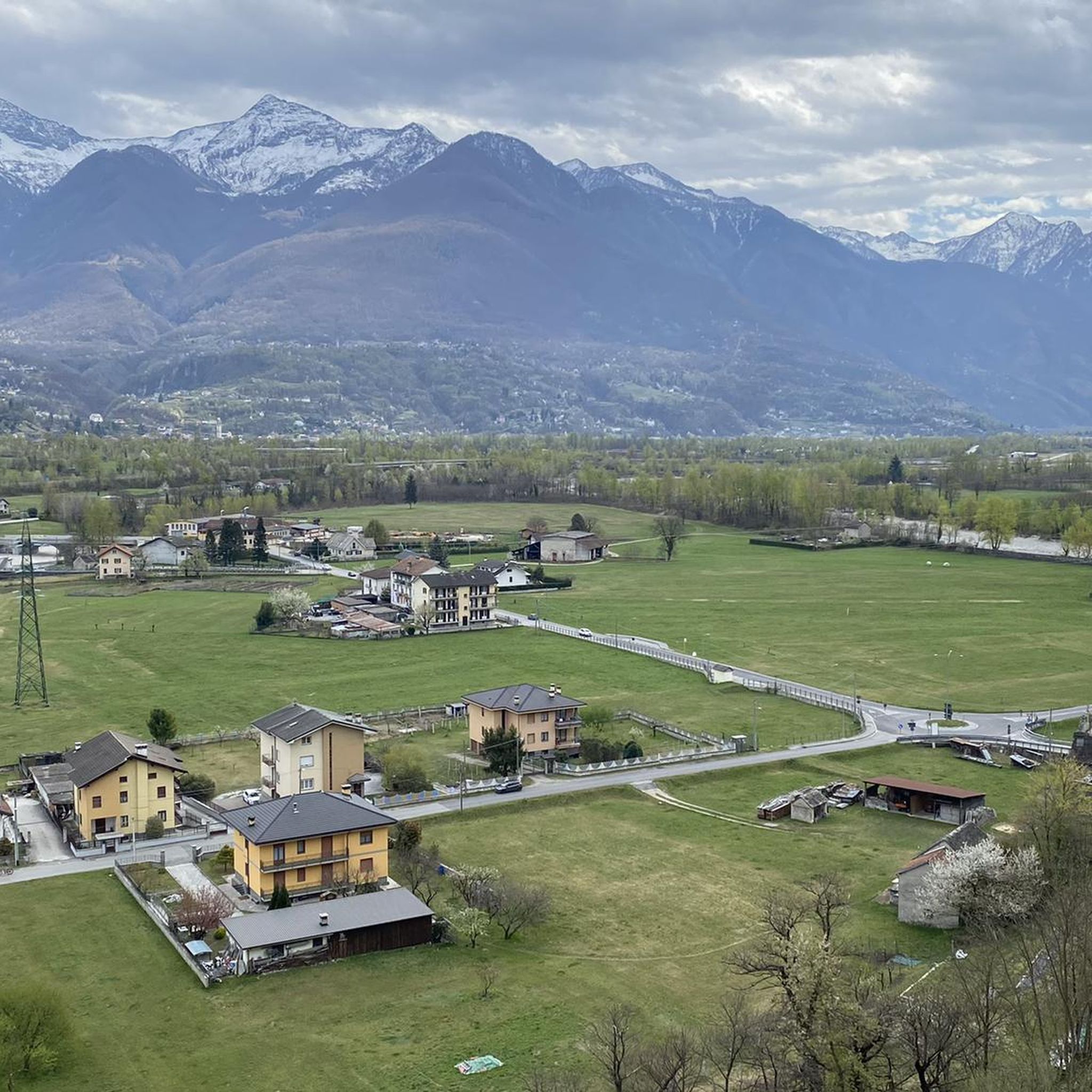
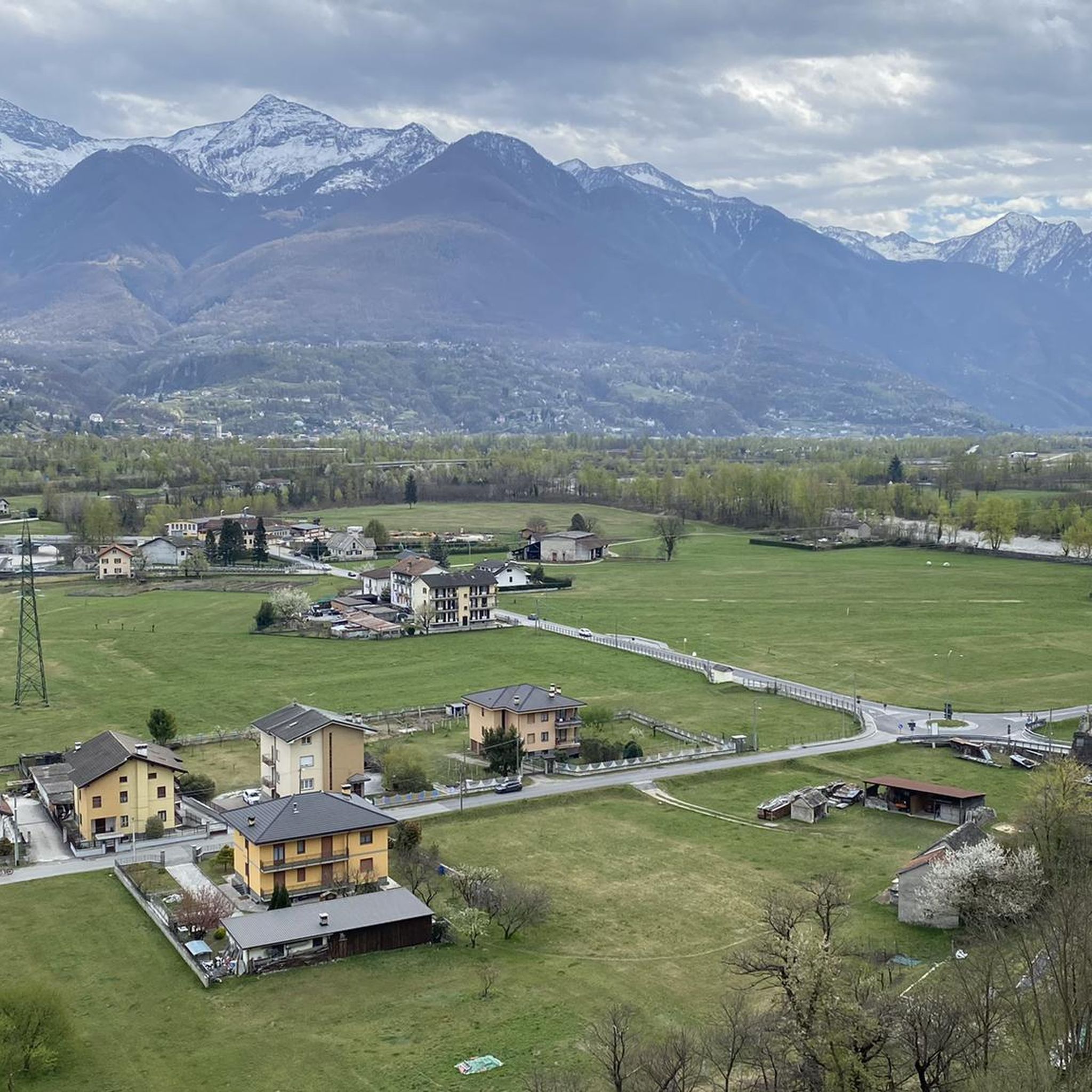
Fraction of Crevoladossola at 360m above sea level
0
0
Fraction of Crevoladossola at 440m above sea level
0
0
Fraction of Crevoladossola at 370m above sea level
0
0

A small mountain village with wine production
0
0

Impressive bridge to Pontemaglio over the Toce
0
0

It is a town located at 486 m with easy access thanks to the asphalt road
0
0

A truly beautiful small town, also on the outskirts of the little-known Valle Agarina. Worth noting is its imposing bell tower not far from the church which, with its 67.5 meters of height, is the second tallest bell tower in Ossola after that of Calasca with its 67.63 metres.
0
0
Frequently Asked Questions
How many hiking trails are available in Crevoladossola?
Crevoladossola offers a diverse network of over 35 hiking trails. These routes vary in difficulty, ranging from easy riverside walks to challenging mountain ascents, catering to different experience levels.
Are there easy hikes suitable for beginners or families in Crevoladossola?
Yes, Crevoladossola has 6 easy trails perfect for beginners or families. A good option is the Pontemaglio Bridge – Toce River loop from Crevoladossola, which offers a gentle path along the river and through the valley.
What kind of challenging hikes can I find in Crevoladossola?
For experienced hikers seeking a challenge, there are 10 difficult trails. The Crevoladossola - Alpe Colmine Trail (A09) is a notable example, featuring significant elevation gain towards alpine pastures and rewarding views.
Are there any circular hiking routes in Crevoladossola?
Yes, many routes in Crevoladossola are circular, allowing you to start and end at the same point. The Toce River – Pontemaglio Bridge loop from Crevoladossola is a popular moderate option that follows the Toce River valley.
What are some interesting natural attractions or landmarks to see while hiking?
The region around Crevoladossola is rich in natural beauty and historical sites. You can explore unique geological formations like the Giant's Kettles of the Toce or the impressive Uriezzo South Gorge. For cultural landmarks, consider visiting the Stations of the Cross at Sacro Monte Calvario, Domodossola.
Are there any hikes that pass by lakes or offer opportunities for wild swimming?
While the Toce River is prominent, the wider area features several beautiful lakes. You might find trails leading near Lake Ragozza or Lago Panelatte, which could offer refreshing stops, though specific wild swimming spots should be researched locally for safety and access.
What do other hikers enjoy most about hiking in Crevoladossola?
The hiking experience in Crevoladossola is highly rated by the komoot community, with an average score of 4.6 stars from over 1,100 reviews. Hikers often praise the diverse landscape, from river valleys to forested hills, and the well-maintained paths connecting historical villages.
Are there any historical routes or paths to explore in the area?
Yes, the region has historical paths connecting villages. The Via del Gries from Crevoladossola to Arzalovo (G00b trail) is a moderate path that follows a historic route through the valley, offering a glimpse into the area's past.
Can I find hikes that offer scenic viewpoints?
Many trails in Crevoladossola, especially those with higher elevation gain, lead to scenic viewpoints. The region's position in the Toce River valley and at the lower slopes of the Alps means that ascents often reward hikers with panoramic vistas of the surrounding mountains and valleys.
What is the best time of year to go hiking in Crevoladossola?
The best time to hike in Crevoladossola is generally from spring to autumn (April to October). During these months, the weather is milder, and the trails are typically clear of snow, offering pleasant conditions for exploring the diverse landscapes.
Are there any hikes that pass through traditional villages or offer cultural insights?
Absolutely. Many routes in Crevoladossola connect various small villages, allowing you to experience local culture and architecture. For example, the Simbo Village loop from Crevoladossola takes you through traditional hamlets, offering a glimpse into the region's heritage.
Most popular routes around Crevoladossola
Most popular attractions around Crevoladossola

Get inspired with the komoot mobile app


Explore more
Browse the best Hikes in other regions.
