The best running trails around Druogno
4.4
(37)
1,813
runners
143
runs
Jogging routes around Druogno are set in Italy's Vigezzo Valley, an area characterized by its diverse natural landscapes and an extensive network of paths. The region, nestled at an altitude of 831 meters, offers varied terrain from mostly paved surfaces to more challenging trails through stone villages, forests, and alpine pastures. Joggers can explore old mule tracks and footpaths connecting charming hamlets, providing inspiring backdrops for outdoor activity.
Best jogging routes around Druogno
- The most popular jogging route is Running…
Last updated: September 25, 2026
4.0
(2)
26
runners
7.34km
00:48
140m
140m
Moderate run. Good fitness required. Mostly paved surfaces. Suitable for all skill levels.
20
runners
Moderate run. Good fitness required. Mostly paved surfaces. Suitable for all skill levels.

4.0
(1)
19
runners
15.5km
01:49
380m
380m
Hard run. Very good fitness required. Mostly paved surfaces. Suitable for all skill levels.
5.0
(1)
10
runners
5.72km
00:45
200m
200m
Moderate run. Good fitness required. Mostly paved surfaces. Suitable for all skill levels.
3
runners
5.38km
00:35
80m
80m
Moderate run. Good fitness required. Mostly paved surfaces. Suitable for all skill levels.
Get access to more routes and recommendations from other explorers.
Already have an account?
Our route recommendations are based on thousands of hikes, rides, and runs completed by other people on komoot.
Start today with a free account
Your next adventure awaits.

Tips from the Community

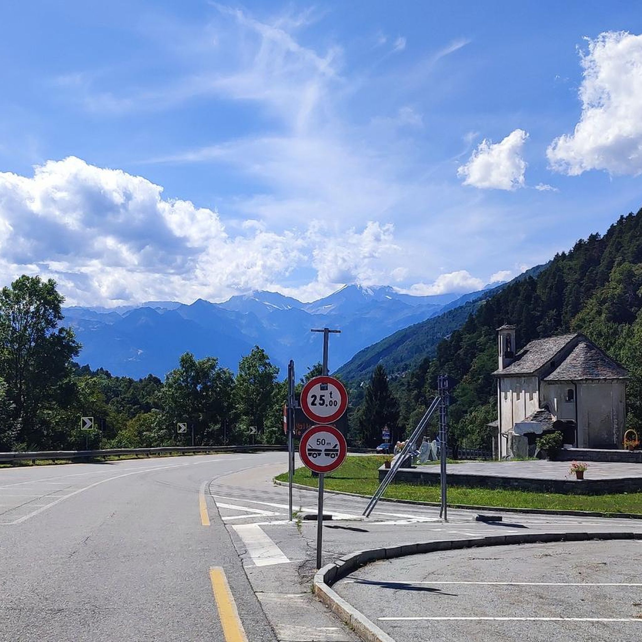
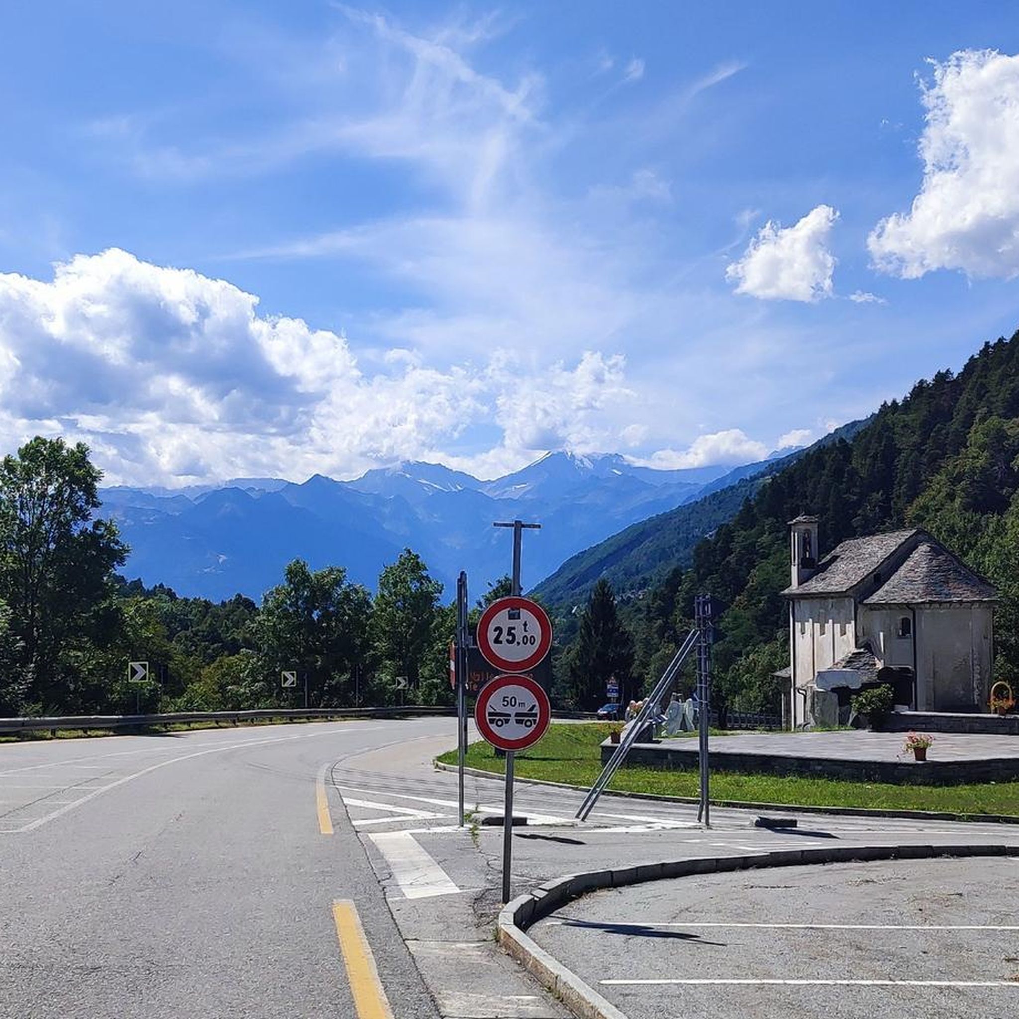
The name of the chapel is S. Gaudenzio, Sculptures are by Giancarlo Sangregorio (My oncle).
0
0

An old village with the unique feature of many chimneys on the roofs!
0
0

Beautiful town with bars and restaurants.
24
0

Among the fantastic alleys of the village of Craveggia, from where you dominate the Vigezzo valley
0
0

The chimneys are tall simply for greater draft.
0
0

The Basilisk fountain in Malesco was built in 2002 based on a design by Giorgio Cavalli. With a quadrangular plan inspired by the Potentilla tormentilla flower which is very widespread in the area and is present in the municipal coat of arms.
0
0

Malesco, a small town with many services. connection point between Valle Vigezzo, Valle Loana, Valle Cannobina and Centovalli towards Switzerland. A small pearl to absolutely visit.
4
0
Particular and noteworthy place, also called "The Mountain Garden". There are works by the sculptor Giancarlo Sangregorio who began his artistic production right in Ossola, fascinated by the material of its quarries.
0
0
Frequently Asked Questions
What kind of terrain can I expect on running routes around Druogno?
The Druogno area offers a diverse mix of terrain for runners. You'll find everything from mostly paved surfaces suitable for all skill levels to more accessible paths for moderate challenges. There are also trails requiring good fitness and sure-footedness, leading through charming stone villages, dense forests, and scenic alpine pastures. The region's extensive network of old mule tracks and footpaths connects various hamlets, providing varied environments for your run.
Are there any easy running trails in Druogno suitable for beginners or a relaxed jog?
Yes, Druogno offers several easier running options. While the guide highlights more moderate and difficult routes, there are 6 easy tours available on komoot. These paths often follow the extensive network of old mule tracks and footpaths connecting the hamlets, providing a pleasant experience through natural scenery. Look for routes with less elevation gain for a more relaxed jog.
Can I find running routes with panoramic views in the Druogno area?
Absolutely. Druogno's elevated position in the Vigezzo Valley, part of the Ossola area, ensures many running routes offer stunning panoramic views. The hamlet of Coimo, for instance, is noted for its sunny, panoramic situation, and routes like the Running loop from Coimo provide expansive vistas as you jog through varied terrain.
Are there any running routes that pass through charming villages or historical sites?
Yes, many running routes in Druogno allow you to explore its charming hamlets and historical sites. The region is known for its well-preserved villages like Albogno, Coimo, Gagnone, Orcesco, Sagrogno, and Sasseglio, all interconnected by old mule tracks. A great example is the Craveggia — Historic Village – Historic Center of Malesco loop from Druogno, which leads through historic villages and along scenic mule tracks, offering a glimpse into the region's rural architecture and history.
What kind of natural features can I expect to see along the running trails?
Druogno's running trails are rich in natural beauty. You can expect to jog through shady pine forests, offering tranquil and refreshing experiences. Some routes feature serene waterside elements as they pass by streams, particularly around the hamlet of Gagnone. The diverse terrain includes alpine pastures and offers inspiring backdrops, reflecting the area's 'Valle dei Pittori' (Valley of Painters) reputation.
Are there any waterfalls or gorges near the running routes in Druogno?
While not directly on every running route, the wider Druogno area does feature impressive natural monuments. You can find the Pogallo Gorge and Waterfalls, and even a Swimming bay with waterfall in Valle Verzasca, which are notable natural attractions in the vicinity. These could be visited as part of a longer outing or a separate trip.
What do other runners say about the trails in Druogno?
The running routes in Druogno are highly regarded by the komoot community, holding an average score of 4.5 stars from more than 15 reviews. Runners frequently praise the varied terrain, the inspiring scenic beauty, and the extensive network of paths that connect charming hamlets, making for engaging and beautiful outdoor experiences.
Are there any circular running routes available in Druogno?
Yes, many of the running routes around Druogno are designed as loops, offering convenient circular options. For instance, the Running loop from Druogno is a moderate 5.8 km trail that starts and ends in the town. Other popular circular routes include the Running loop from Santa Maria Maggiore and the Running loop from Coimo, providing diverse options for your run.
Can I combine running with exploring other activities or attractions in Druogno?
Absolutely. Druogno is well-suited for combining running with other activities. The region's hamlets offer unique rural architecture, ancient mills, and small oratories to explore. For those who enjoy a brisk walk, a Nordic skiing circuit links Druogno with Malesco and Santa Maria Maggiore, which can be used for Nordic walking. Additionally, a bike path connects Coimo to Druogno, and bicycle rental services are available, offering more ways to experience the area.
How many running routes are available in the Druogno area?
There are over 100 running routes available around Druogno on komoot, offering a wide variety of options for all skill levels. This extensive network includes 6 easy routes, 48 moderate routes, and 54 difficult routes, ensuring there's a suitable trail for every runner.
Is there public transport access to the running trails around Druogno?
Druogno is nestled in the Vigezzo Valley, and while specific public transport details for trailheads aren't provided, the region is generally accessible. The town itself is a hub, and many routes start directly from Druogno or its interconnected hamlets. For detailed public transport information to specific starting points, it's advisable to check local schedules.
Are there any specific landmarks or points of interest to look out for while running?
Beyond the charming hamlets themselves, the region around Druogno offers several points of interest. While running, you might encounter historical elements like ancient mills or small oratories within the villages. For more significant landmarks, the wider Ossola area includes sites like the Sacred Mount Calvary of Domodossola or the Marco Pantani Pass (Scopello Pass), which are popular attractions in the broader vicinity.
Most popular attractions around Druogno

Get inspired with the komoot mobile app


Explore more
Browse the best Running Trails & Routes in other regions.
