The best walks and hikes around Druogno
4.5
(771)
3,917
hikers
34
hikes
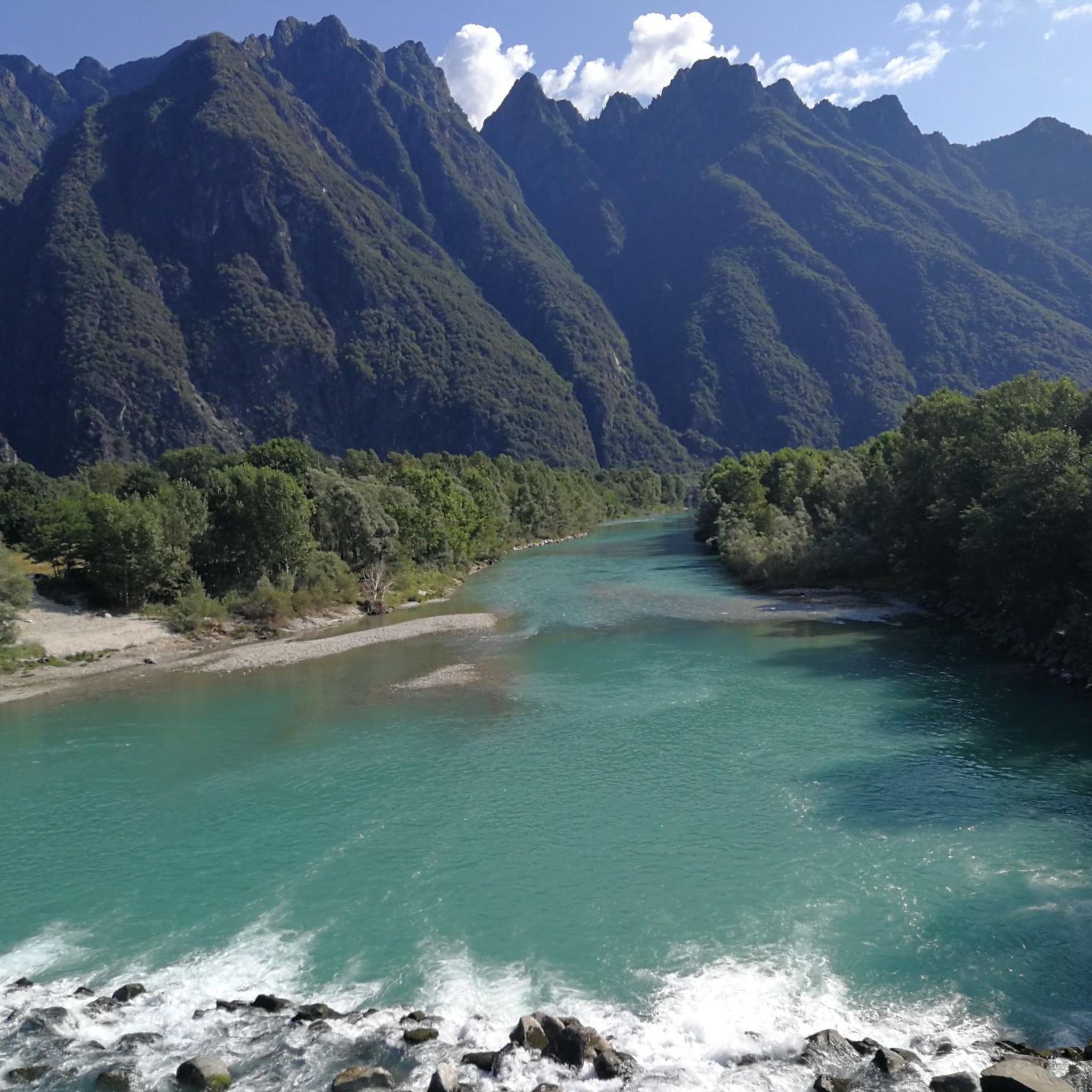
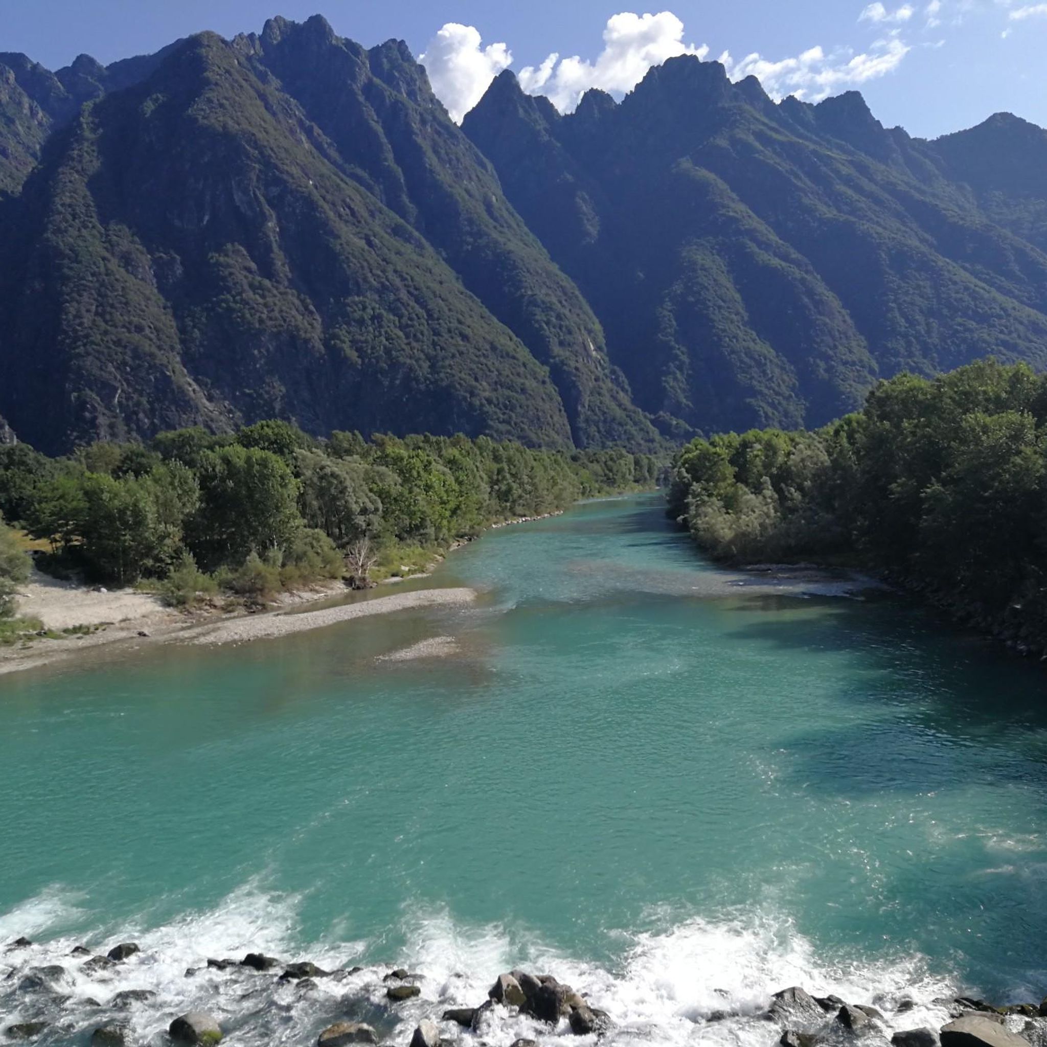
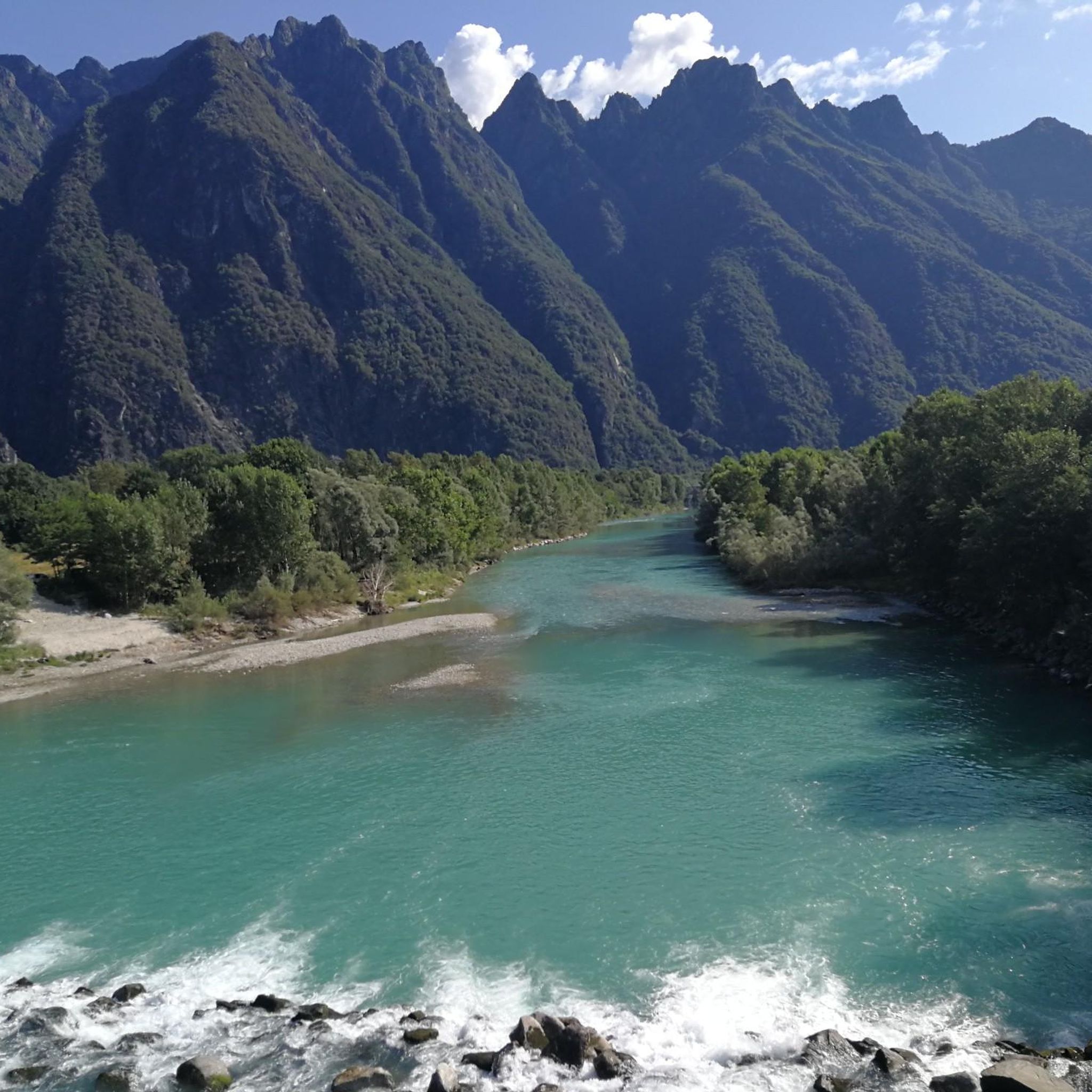
Hiking around Druogno, nestled in Italy's Vigezzo Valley, offers diverse alpine terrain ranging from forests to mountainous routes. The region is characterized by significant elevation changes, providing panoramic views of the Vigezzo Valley. Trails often connect picturesque rural hamlets, allowing for exploration of traditional architecture and cultural sites. The area features a mix of easy walks, moderate paths, and challenging mountain ascents.
Best hiking trails around Druogno
- The most popular hiking route is From Sagrogno to San Rocco Chapel (via M07), an 8.0 miles (12.8 km) difficult trail that takes 6 hours 6 minutes to complete. This route passes through woodlands and connects charming hamlets.
- Another top favourite among local hikers is M06: Druogno - Pizzo Ragno Trail, a difficult 7.9 miles (12.7 km) path. This trail leads to panoramic summit views over the Vigezzo Valley.
- Local hikers also love the M03: Coimo to Monte Loccia di Peve Trail, a 7.6 miles (12.3 km) trail leading through alpine landscapes and past the hamlet of Coimo, often completed in about 6 hours 49 minutes.
- Hiking around Druogno is defined by diverse alpine terrain, dense forests, and picturesque rural hamlets. The network offers options for easy walks, moderate paths, and challenging mountain ascents.
- The routes in Druogno are highly rated by the komoot community with an average score of 4.6 stars from over 600 reviews. More than 3,600 hikers have used komoot to explore Druogno's varied terrain.
Last updated: May 10, 2026
3.8
(12)
34
hikers
12.8km
06:06
990m
980m
Hard hike. Very good fitness required. Mostly accessible paths. Sure-footedness required.
4.4
(9)
27
hikers
12.7km
06:54
1,200m
1,200m
Hard hike. Very good fitness required. Sure-footedness, sturdy shoes and alpine experience required.

Sign up for free
4.7
(3)
12
hikers
12.3km
06:49
1,260m
1,260m
Hard hike. Very good fitness required. Sure-footedness, sturdy shoes and alpine experience required.
5.0
(2)
5
hikers
12.1km
05:23
1,150m
1,150m
Hard hike. Very good fitness required. Mostly accessible paths. Sure-footedness required.
5.0
(1)
1
hikers
7.76km
04:38
850m
850m
Moderate hike. Good fitness required. Mostly accessible paths. Sure-footedness required.
Get access to more routes and recommendations from other explorers.
Sign up for free
Already have an account?
Our route recommendations are based on thousands of hikes, rides, and runs completed by other people on komoot.
Start today with a free account
Your next adventure awaits.
Login or Signup

Tips from the Community

Should be Alpe Campra. Route is easy without difficulties except the effort.
0
0

The refuge is closed, but you can collect the key at the Bar Ristorante Belvedere in Albogno, paying a small fee.
0
0

Closed shelter but possibility to fill the bottle thanks to a fountain of fresh water
0
0
Frequently Asked Questions
What types of hiking trails can I find around Druogno?
Druogno, located in Italy's Vigezzo Valley, offers a diverse range of alpine terrain. You'll find trails winding through dense forests, across alpine pastures, and up to mountainous routes. The area features a mix of easy walks, moderate paths, and challenging mountain ascents, often connecting picturesque rural hamlets.
Are there easy or family-friendly hiking options in Druogno?
Yes, Druogno provides several easy walks suitable for families. Many trails connect the charming hamlets like Albogno, Coimo, and Sagrogno, which are generally less strenuous and allow for exploration of traditional architecture and cultural sites. These paths are often old mule tracks and footpaths, offering pleasant walks in any season.
What kind of views can I expect on hikes in the Vigezzo Valley?
Many hiking routes in Druogno offer breathtaking panoramic vistas of the Vigezzo Valley. Trails often feature significant elevation changes, leading to expansive views of the surrounding alpine landscape. For example, the difficult M06: Druogno - Pizzo Ragno Trail leads to panoramic summit views.
Can I hike with my dog in Druogno?
While specific restrictions for dogs on trails are not detailed, generally, dogs are welcome on most hiking trails in the Vigezzo Valley, provided they are kept under control, especially in areas with livestock. It's always advisable to check local signage and ensure your dog is well-behaved and on a leash when necessary.
Are there any waterfalls or significant water features along the trails?
Yes, the region includes natural springs, and in autumn, you can enjoy views of waterfalls in Val del Lupo near Gagnone-Orcesco. The Cui creek is also part of some hiking itineraries. For a notable water feature, you might explore highlights like Pogallo Gorge and Waterfalls or even a Swimming bay with waterfall in Valle Verzasca, though these might require a short drive from Druogno.
What cultural or historical sites can I explore while hiking?
Druogno's trails often connect picturesque hamlets such as Albogno, Coimo, and Sagrogno, where you can see ancient mills, small oratories, and traditional stone houses. Some itineraries partly follow the ancient 'Via del Mercato,' a historically significant route. You can also find historical religious sites like the Church of San Silvestro and the ancient Oratory of San Marco.
What is the typical duration of hikes around Druogno?
Hikes around Druogno vary significantly in duration depending on their difficulty and length. For instance, a challenging route like From Sagrogno to San Rocco Chapel (via M07) can take over 6 hours to complete, while easier hamlet walks might be much shorter, ranging from 1 to 3 hours.
When is the best time of year to go hiking in Druogno?
Druogno offers hiking opportunities throughout the year. The trails connecting the picturesque hamlets are suitable for pleasant walks in any season. Autumn is particularly beautiful for viewing waterfalls in Val del Lupo, while spring and summer provide lush landscapes and warmer weather for higher alpine routes.
Are there circular hiking routes available?
Many trails in Druogno are designed to be circular or can be combined to form circular routes, allowing you to start and end in the same location. This is particularly true for paths connecting the various hamlets, which are often linked by old footpaths and mule tracks.
What are some challenging hikes for experienced trekkers?
For experienced hikers seeking a challenge, Druogno offers several difficult routes with significant elevation gain. Examples include the M06: Druogno - Pizzo Ragno Trail, which leads to panoramic summit views, or the Monte Mater from Druogno Trail, both offering demanding ascents and rewarding vistas.
Where can I find parking or access trails via public transport?
Druogno and its surrounding hamlets are generally accessible. Parking is typically available in or near the villages, which often serve as trailheads. The Vigezzo Valley also has public transport options, such as the Vigezzina-Centovalli railway, which connects various points in the valley, making it possible to access different trail starting points.
What do other hikers enjoy most about hiking in Druogno?
The area is highly rated by the komoot community, with an average score of 4.6 stars from over 600 reviews. Reviewers often praise the diverse alpine terrain, the breathtaking panoramic views of the Vigezzo Valley, and the charm of exploring the picturesque rural hamlets connected by the trails.
Are there any lakes or natural monuments nearby worth visiting?
Yes, the region around Druogno features several natural attractions. You can find beautiful lakes such as Lago Panelatte or Lake Onzo Filippini. For natural monuments, consider visiting Laurasca Peak or the Pogallo Gorge and Waterfalls.
Most popular attractions around Druogno

Get inspired with the komoot mobile app


Explore more
Browse the best Hikes in other regions.
