The best running trails around Roccaforte Ligure
4.2
(12)
703
runners
72
runs
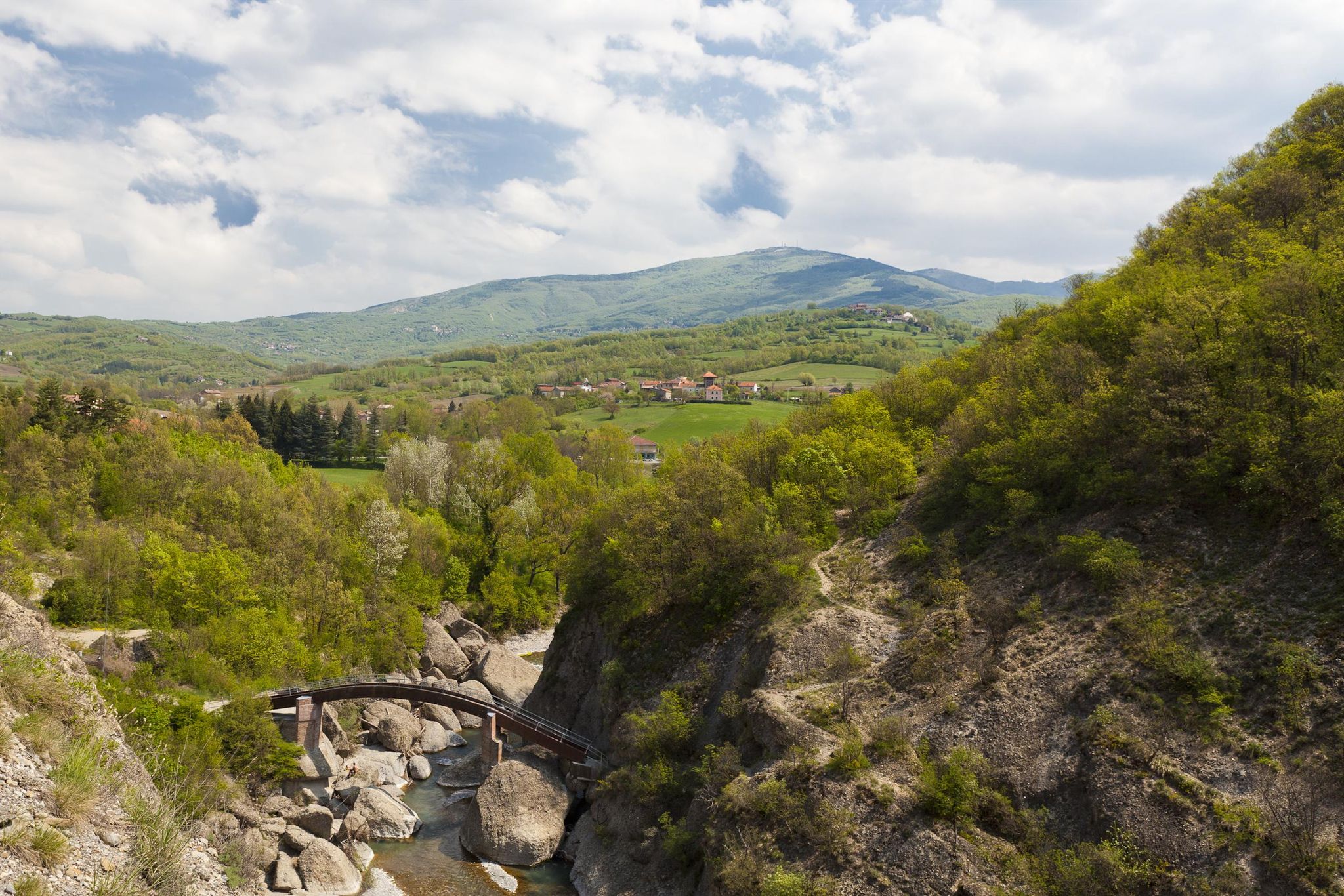
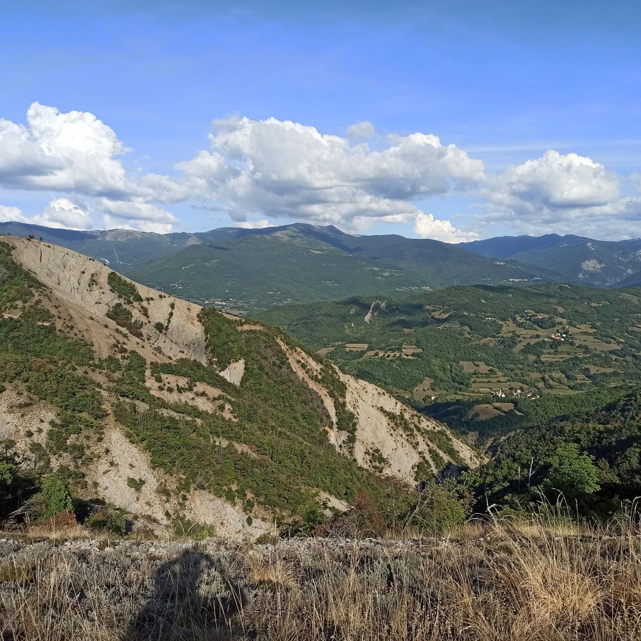
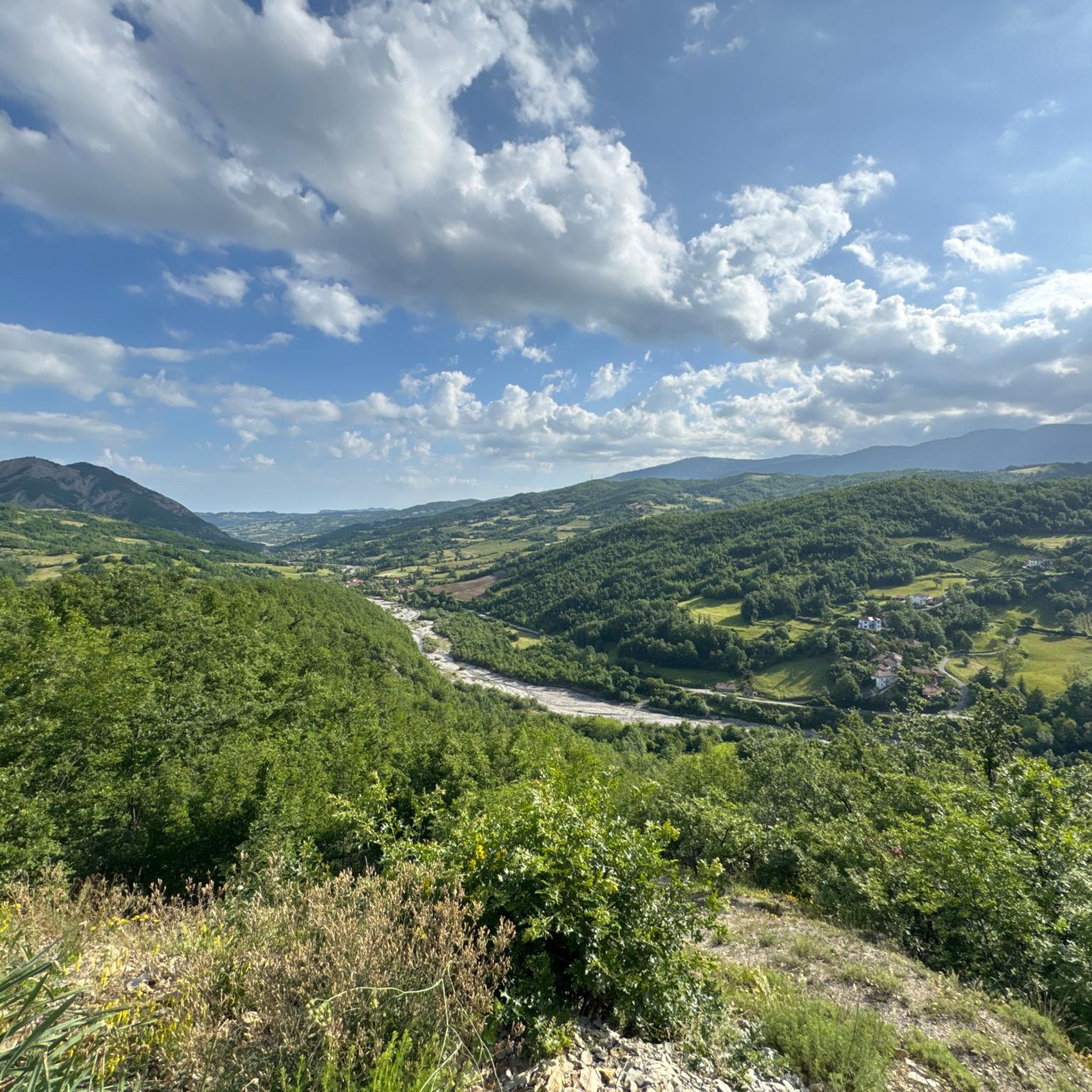
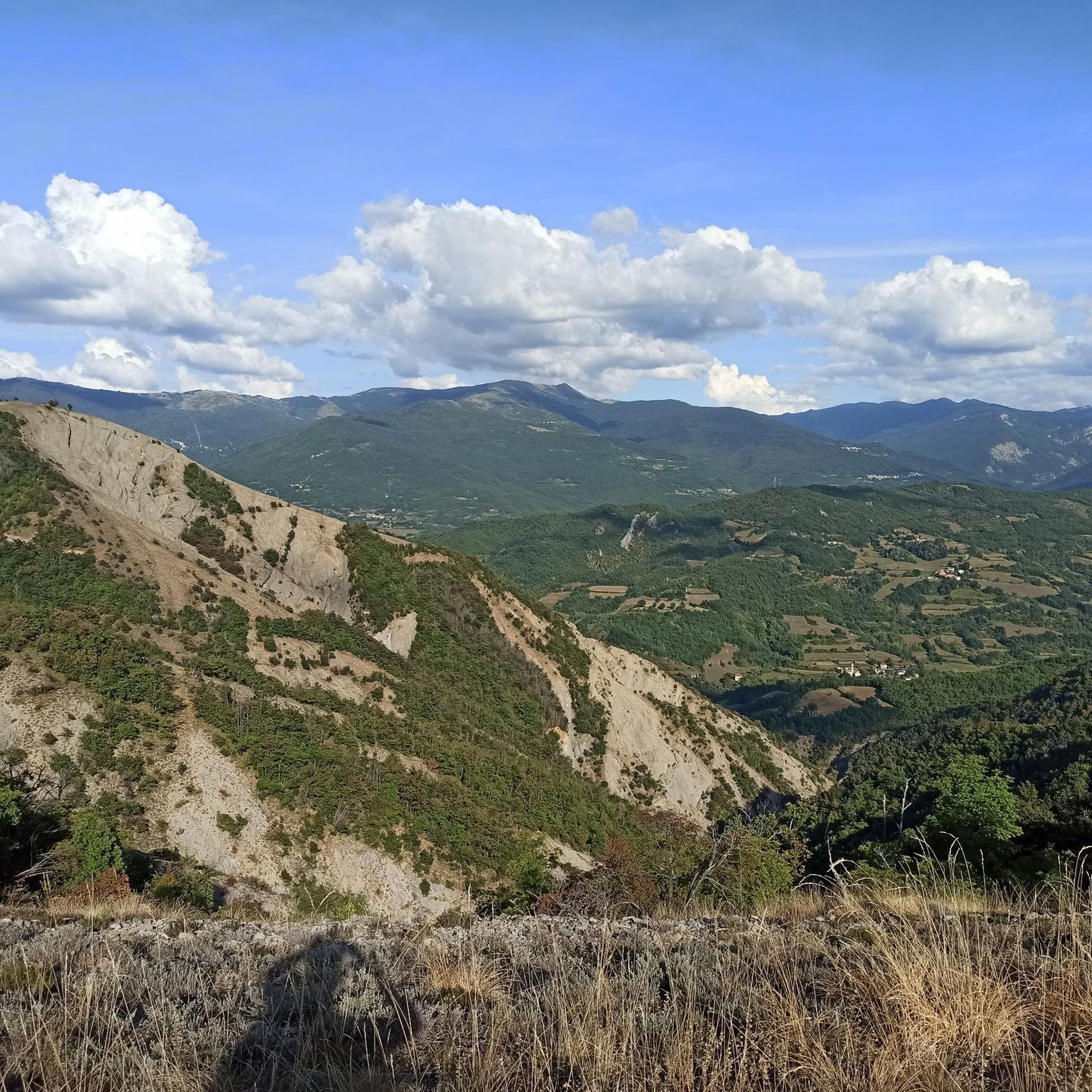
Jogging routes around Roccaforte Ligure traverse a landscape characterized by the wild Val Borbera, part of the Ligurian Apennines, offering diverse elevations from 300 to 1,700 meters above sea level. The region features hilly and wooded terrain, with trails winding through forests and past natural features like the Borbera Stream. Prominent peaks such as Monte Giarolo and Monte San Vito provide challenging routes for trail runners seeking elevation.
Best jogging routes around Roccaforte Ligure
- The most popular jogging route is…
Last updated: July 15, 2026
5.0
(1)
86
runners
42.5km
06:33
1,960m
1,960m
Hard run. Very good fitness required. Sure-footedness, sturdy shoes and alpine experience required.
4.5
(2)
72
runners
16.1km
02:13
580m
580m
Hard run. Very good fitness required. Mostly paved surfaces. Suitable for all skill levels.

Sign up for free
10
runners
21.5km
03:23
1,170m
1,170m
Hard run. Very good fitness required. Mostly paved surfaces. Suitable for all skill levels.
9
runners
Hard run. Very good fitness required. Sure-footedness, sturdy shoes and alpine experience required.
4
runners
14.1km
02:26
870m
870m
Hard run. Very good fitness required. Mostly paved surfaces. Suitable for all skill levels.
Get access to more routes and recommendations from other explorers.
Sign up for free
Already have an account?
Our route recommendations are based on thousands of hikes, rides, and runs completed by other people on komoot.
Start today with a free account
Your next adventure awaits.
Login or Signup

Other adventures around Roccaforte Ligure

Tips from the Community

Cycling along this stream was very beautiful
13
0

Up here, on Monte Giarolo, the hiker won't find the classic summit cross that crowns many mountains. Instead, on a pedestal divided into two sections, stands the figure of the Risen Christ, adorned with a cross. Christ raises one arm in greeting—or rather, in blessing—and with the other, he embraces the cross, that gruesome symbol of suffering and death, which, through his resurrection, he transformed into a glorious symbol of victory over death.
0
0

very suggestive wooden bridge
0
0
summit cross and panoramic place
0
0

At 1,473 meters above sea level, the peak of Mount Giarolo is on the so-called Ligurian Apennines but in the province of Alessandria, Piedmont. It is the northernmost point of the Antola chain and divides the Borbera and Curone valleys. On the summit there is a statue of Christ the Redeemer.
1
0

The Feast of the Redeemer has been celebrated on Mount Giarolo since the beginning of the last century, when the first statue of the Redeemer was erected on August 11, 1901 (replaced with the new one exactly one hundred years later) in order to celebrate the 19th centenary of the birth of Christ. It was inaugurated by the Bishop of Tortona who, for the occasion, promoted a diocesan pilgrimage in which approximately 12,000 faithful participated. Since then, every year on the first Sunday of August tourists and faithful go to the top of the mountain to renew the tradition.
3
0

Splendid view of the Borbera valley from the Alpine cross
0
0

Absolutely a marvel! worth the effort!
0
0
Frequently Asked Questions
What kind of terrain can I expect on running routes around Roccaforte Ligure?
The region offers diverse terrain, primarily characterized by hilly and wooded landscapes within the wild Val Borbera, part of the Ligurian Apennines. You'll find trails winding through forests and past natural features like the Borbera Stream, with elevations ranging from approximately 300 meters to 1,700 meters above sea level. Prominent peaks such as Monte Giarolo and Monte San Vito provide challenging ascents for trail runners.
How many running routes are available in the Roccaforte Ligure area?
There are over 60 running routes available around Roccaforte Ligure, catering to various fitness levels. While many are challenging, there are also options for moderate and easier runs.
Are there any family-friendly running trails near Roccaforte Ligure?
While many routes in the region are rated as difficult due to the hilly terrain and significant elevation changes, there are a few easier options available. For a less strenuous experience, look for routes with minimal elevation gain or shorter distances. Always check the route details on komoot for specific difficulty ratings and suitability for families.
What do other runners enjoy most about the trails in Roccaforte Ligure?
The running routes in Roccaforte Ligure are highly rated by the komoot community, with an average score of 4.2 stars. Runners often praise the diverse elevations, dense woods, and the scenic beauty of the Val Borbera. The variety of terrain, from easier paths to challenging ascents, is also frequently highlighted.
Are there any circular running routes in Roccaforte Ligure?
Yes, many running routes in the area are designed as loops, allowing you to start and finish at the same point. An example is Il Castello della Pietra di Vobbia – loop run in the Parco dell'Antola, which is a popular option exploring the area around the historic Castello della Pietra. Another is the Castello di Borgo Adorno loop from Cantalupo Ligure, offering varied terrain.
What kind of historical landmarks or natural attractions can I see along the running routes?
The region is rich in both natural beauty and historical sites. You can run past the dramatic Castello della Pietra overlooking the Vobbia gorge, or explore routes near the ruins of Malaspina Castle. Natural features include the Borbera Stream and panoramic views from peaks like Monte Giarolo and Monte San Vito. You might also encounter mountain passes such as Monte Costrone or Passo Monte Rosso.
Are there challenging running routes for experienced trail runners?
Absolutely. Roccaforte Ligure is known for its challenging routes, particularly those ascending prominent peaks. For instance, the Croce degli Alpini Summit – View of Val Borbera Ridge loop from Albera Ligure is a difficult 25.6-mile path offering extensive views. Another demanding option is the Monte Giarolo – Rifugio Piani di San Lorenzo loop from Cantalupo Ligure, which features significant elevation gain.
What is the best time of year to go running in Roccaforte Ligure?
The hilly and wooded terrain of Roccaforte Ligure is generally enjoyable for running during spring, summer, and autumn. Spring offers lush greenery, while autumn provides vibrant foliage. Summers can be warm, but the higher elevations and shaded forest trails can offer some respite. Winter running might be possible, but conditions can be challenging due to snow or ice, especially at higher altitudes.
Are there any running routes that offer panoramic views?
Yes, the region's prominent peaks and ridges provide magnificent panoramic views. The Croce degli Alpini Summit – View of Val Borbera Ridge loop from Albera Ligure is specifically highlighted for its extensive views along the Val Borbera ridge. Monte Giarolo and Monte San Vito also offer rewarding vistas from their summits.
Is it possible to access running trails in Roccaforte Ligure using public transport?
While Roccaforte Ligure is nestled in a tranquil, somewhat remote area, public transport options to the general region exist. However, direct access to specific trailheads via public transport might be limited. It's advisable to research local bus services or consider driving to a starting point, especially for routes that begin in smaller villages or more isolated areas. Parking information is often available in individual route descriptions on komoot.
Are there any dog-friendly running trails in the Roccaforte Ligure area?
Many trails in natural, rural areas like Roccaforte Ligure are generally dog-friendly, provided your dog is well-behaved and kept on a leash, especially when encountering wildlife or other trail users. Always check specific route details and local regulations, as some protected areas might have restrictions. The varied terrain and dense woods offer a great environment for running with your canine companion.
Most popular attractions around Roccaforte Ligure

Get inspired with the komoot mobile app


Explore more
Browse the best Running Trails & Routes in other regions.
