The best walks and hikes around Roccaforte Ligure
4.4
(642)
2,196
hikers
171
hikes
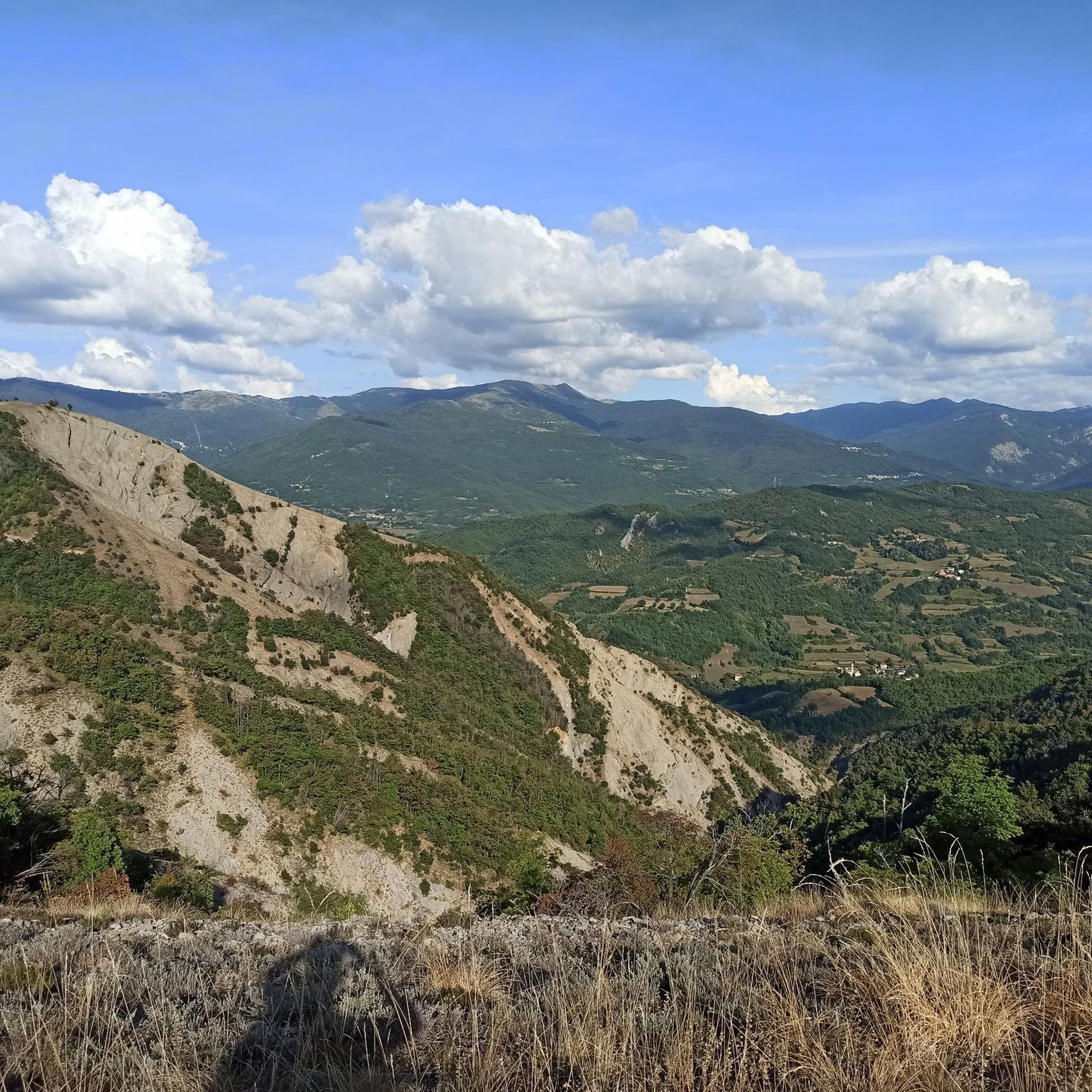
Hiking around Roccaforte Ligure offers access to the diverse landscapes of the Ligurian Apennines, characterized by rolling hills, forested valleys, and elevated peaks. The region features a mix of challenging mountain trails and more accessible paths through rural areas. Hikers can expect varied terrain, including ascents to panoramic viewpoints and routes following natural watercourses.
Best hiking trails around Roccaforte Ligure
- The most popular hiking route is From Cantalupo to Roccaforte Ligure (via Trail 260), a 8.9 miles (14.4 km)…
Last updated: July 21, 2026
5.0
(4)
12
hikers
14.4km
05:52
780m
790m
Hard hike. Very good fitness required. Sure-footedness, sturdy shoes and alpine experience required.
4.0
(3)
8
hikers
16.4km
06:06
1,080m
1,080m
Hard hike. Very good fitness required. Easily-accessible paths. Suitable for all skill levels.

Sign up for free
4.0
(2)
7
hikers
10.4km
03:43
590m
590m
Moderate hike. Good fitness required. Easily-accessible paths. Suitable for all skill levels.
14.0km
05:22
990m
990m
Hard hike. Very good fitness required. Easily-accessible paths. Suitable for all skill levels.
27.6km
08:12
840m
840m
Hard hike. Very good fitness required. Easily-accessible paths. Suitable for all skill levels.
Get access to more routes and recommendations from other explorers.
Sign up for free
Already have an account?
Our route recommendations are based on thousands of hikes, rides, and runs completed by other people on komoot.
Start today with a free account
Your next adventure awaits.
Login or Signup
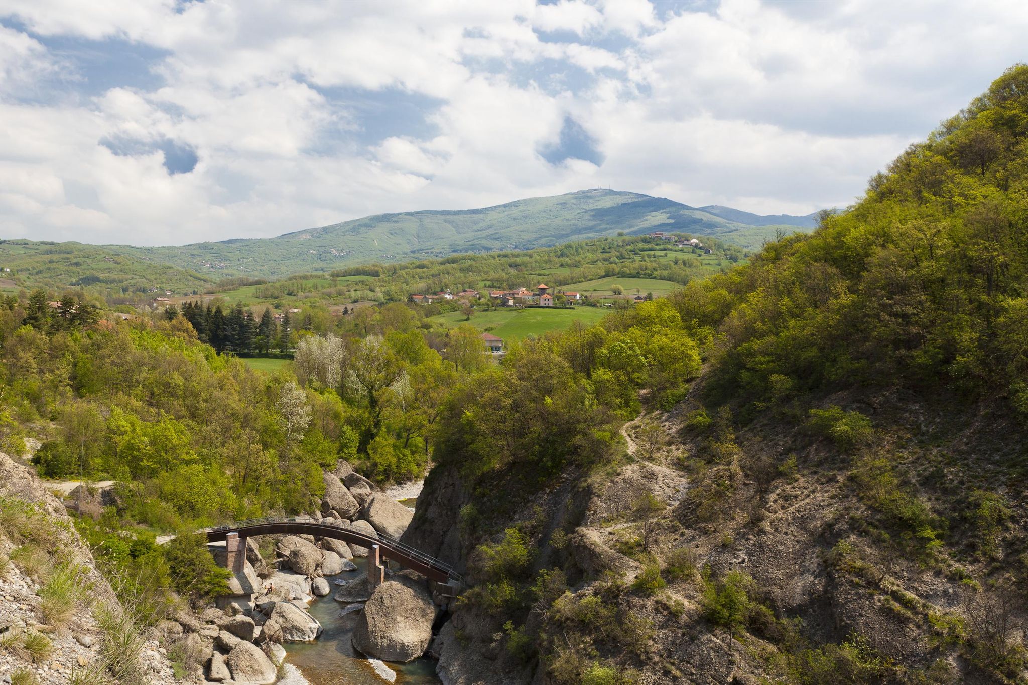
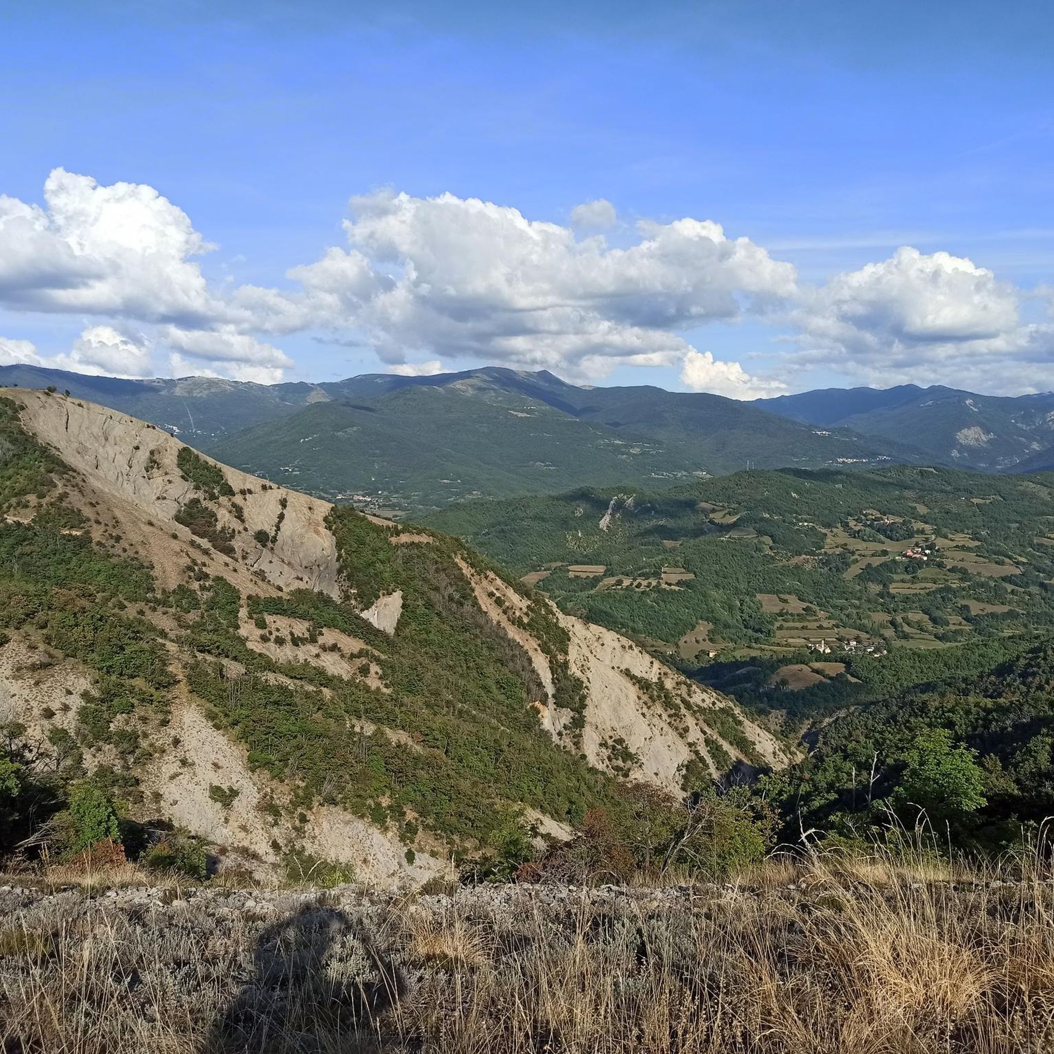
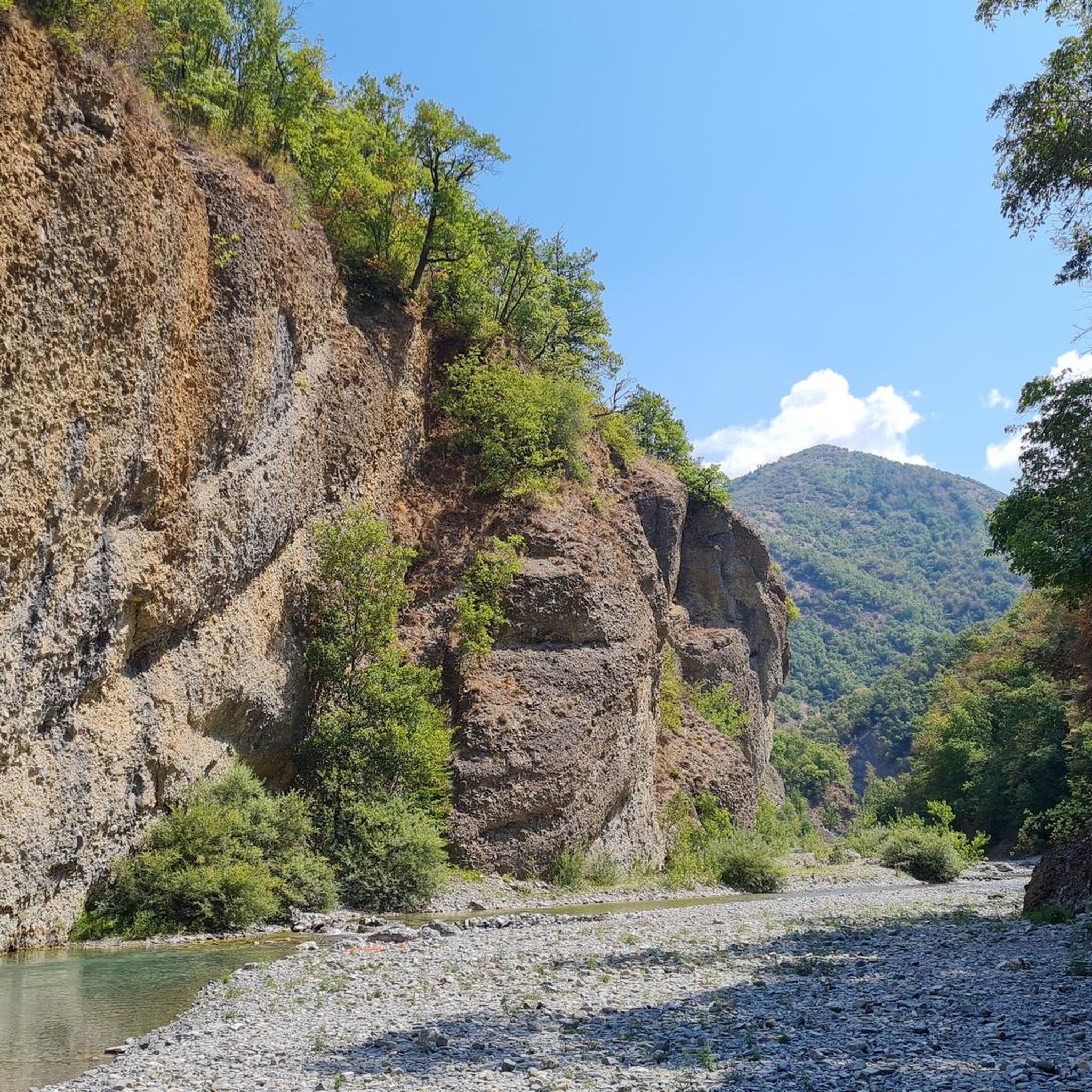
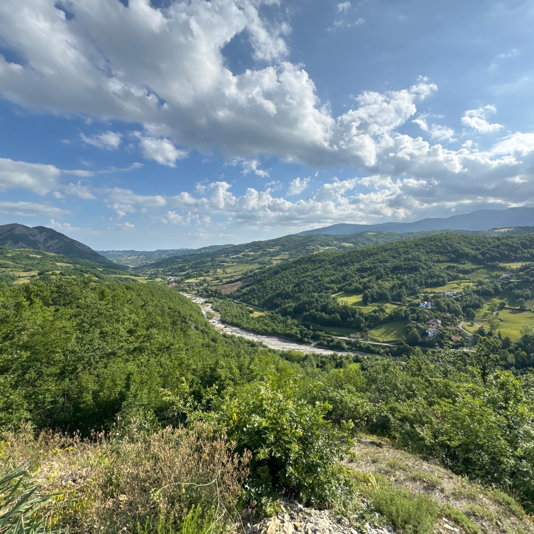

Other adventures around Roccaforte Ligure

Tips from the Community

Up here, on Monte Giarolo, the hiker won't find the classic summit cross that crowns many mountains. Instead, on a pedestal divided into two sections, stands the figure of the Risen Christ, adorned with a cross. Christ raises one arm in greeting—or rather, in blessing—and with the other, he embraces the cross, that gruesome symbol of suffering and death, which, through his resurrection, he transformed into a glorious symbol of victory over death.
0
0

At 1,473 meters above sea level, the peak of Mount Giarolo is on the so-called Ligurian Apennines but in the province of Alessandria, Piedmont. It is the northernmost point of the Antola chain and divides the Borbera and Curone valleys. On the summit there is a statue of Christ the Redeemer.
1
0

The Feast of the Redeemer has been celebrated on Mount Giarolo since the beginning of the last century, when the first statue of the Redeemer was erected on August 11, 1901 (replaced with the new one exactly one hundred years later) in order to celebrate the 19th centenary of the birth of Christ. It was inaugurated by the Bishop of Tortona who, for the occasion, promoted a diocesan pilgrimage in which approximately 12,000 faithful participated. Since then, every year on the first Sunday of August tourists and faithful go to the top of the mountain to renew the tradition.
3
0

Splendid view of the Borbera valley from the Alpine cross
0
0

Absolutely a marvel! worth the effort!
0
0


The top of the mountain can be reached starting from Cantalupo Ligure, Borgo Adorno and Albera Ligure (Val Borbera), from Giarolo (Val Museglia) and from Caldirola (Val Curone). The view from the top extends north and west over the plain up to the Alpine range with the profiles of Monviso, Cervino and Rosa. In the other directions the panorama shows the nearest mountains Boglelio, Penice, Lesima, Ebro, Chiappo, Monte Antola, other peaks of the Ligurian Apennines up to the Ligurian Sea, visible on the clearest days. (source Wikipedia)
0
0
Compared to the nearby Monte Gavasa it is panoramic ... on the east side it is characterized by a part of conglomerate and being devoid of trees the panorama is excellent ... worth a visit!
0
0
Frequently Asked Questions
How many hiking trails are available around Roccaforte Ligure?
There are over 160 hiking trails in the Roccaforte Ligure area, offering a wide range of options for different skill levels and preferences. You'll find everything from easy strolls to challenging mountain ascents.
Are there easy hiking trails suitable for beginners or families in Roccaforte Ligure?
Yes, Roccaforte Ligure offers 26 easy hiking trails. These paths are generally shorter and have less elevation gain, making them ideal for a relaxed outing or for families with children. Look for routes that explore the lower valleys and rural areas.
What are some of the more challenging hikes in the region?
For experienced hikers seeking a challenge, there are 30 difficult routes. One notable option is the Monte Giarolo Summit Trail from Cantalupo Ligure (via Route 210), which is 16.4 km long and involves significant elevation gain to reach panoramic views from the summit. Another demanding option is the Val Borbera Trail from Vignole Borbera (via Route 275), a lengthy 27.5 km route.
Are there any circular hiking routes around Roccaforte Ligure?
Yes, the region features several circular routes. A popular moderate option is the Monte Barilaro Loop Trail, which covers 10.4 km through hilly terrain and typically takes under four hours to complete.
What kind of views can I expect on hikes in Roccaforte Ligure?
Hiking in Roccaforte Ligure often rewards you with expansive views of the Ligurian Apennines. Many trails lead to elevated peaks or viewpoints offering panoramas of rolling hills, forested valleys, and distant mountain ranges. For instance, the summit of Monte Giarolo provides exceptional vistas.
Are there historical landmarks or points of interest along the trails?
Yes, the area is rich in history. You can explore several castles and religious sites. Consider visiting the impressive Castello della Pietra or the ruins of Brusamonica Castle. For religious landmarks, the Santuario di Monte Spineto is a notable highlight.
What is the best time of year to go hiking in Roccaforte Ligure?
The best time for hiking in Roccaforte Ligure is generally from spring to autumn (April to October). During these months, the weather is milder and more stable, making for pleasant conditions. Summer can be warm, especially in the valleys, while spring and autumn offer comfortable temperatures and beautiful foliage.
Can I hike in Roccaforte Ligure during winter?
Winter hiking is possible, but conditions can be challenging, especially at higher elevations where snow and ice may be present. Lower-altitude trails might still be accessible, but always check local weather forecasts and trail conditions before heading out. Appropriate winter gear is essential.
Are the hiking trails in Roccaforte Ligure dog-friendly?
Many trails in the Roccaforte Ligure area are suitable for dogs, especially those in natural park areas or less populated routes. However, it's always advisable to keep dogs on a leash, particularly near livestock or in protected areas, and to carry water for them. Check specific trail regulations if you plan to visit a nature reserve.
What do other hikers say about the trails in Roccaforte Ligure?
The hiking routes in Roccaforte Ligure are highly regarded by the komoot community, with an average rating of 4.4 stars from over 550 reviews. Hikers often praise the diverse terrain, the quiet woodlands, and the rewarding views from the higher peaks.
Are there any long-distance trails or multi-day hiking options?
While many routes are day hikes, some longer trails, like the From Cantalupo to Roccaforte Ligure (via Trail 260) at 14.4 km, can be combined for multi-day adventures. The region's network of trails, including the Val Borbera Trail, offers opportunities to link routes and explore the Ligurian Apennines over several days, often with small villages providing accommodation options.
Is there parking available at the trailheads?
Parking availability varies by trailhead. In smaller villages like Cantalupo Ligure or near popular starting points, you can often find designated parking areas. For more remote trails, roadside parking might be an option. It's recommended to check specific route details or local information for parking suggestions before your hike.
Most popular attractions around Roccaforte Ligure

Get inspired with the komoot mobile app


Explore more
Browse the best Hikes in other regions.
