The best walks and hikes around Wendisch Rietz
4.6
(1515)
5,331
hikers
81
hikes
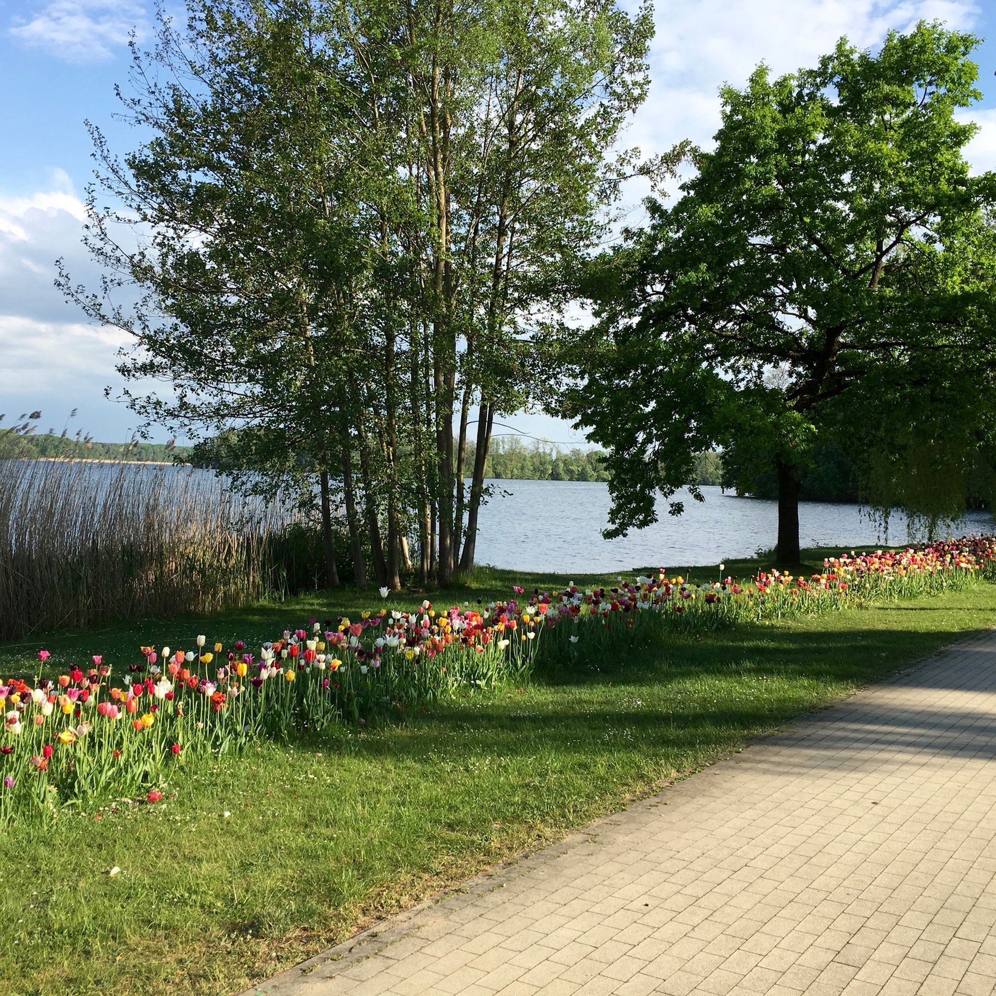
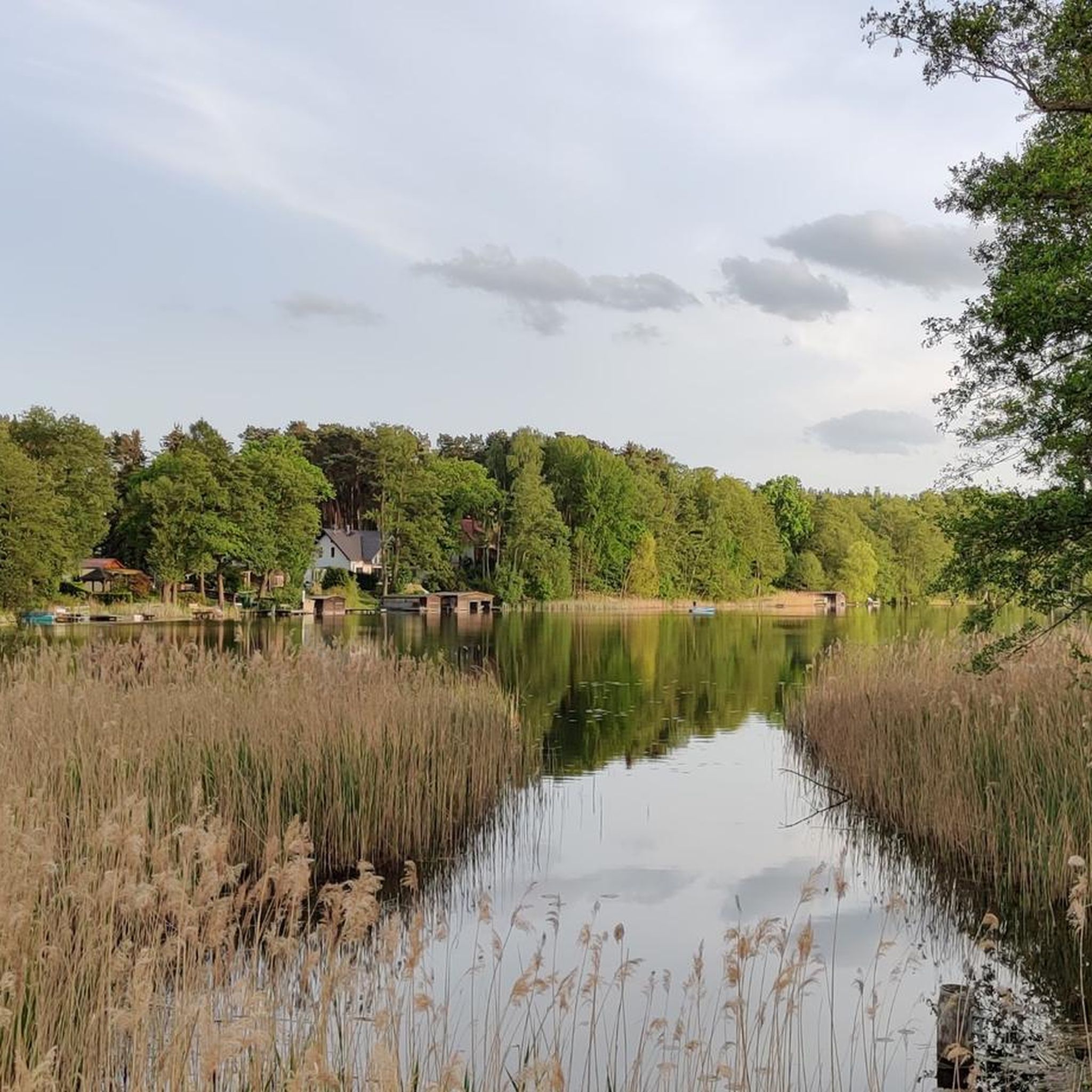
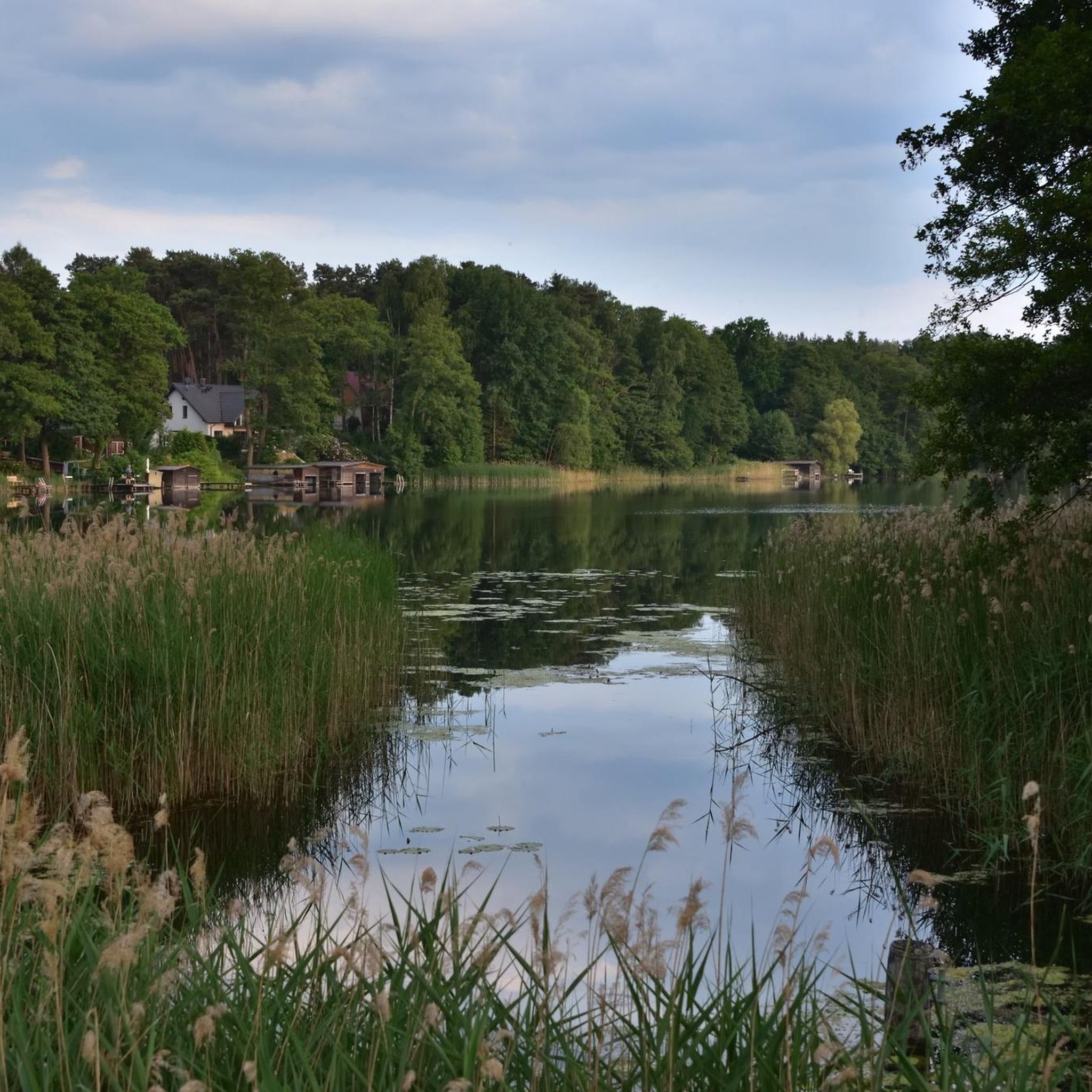
Hiking around Wendisch Rietz offers diverse landscapes within the Oder-Spree Lake District, characterized by a blend of water and woodlands. The region features the Scharmützelsee, Brandenburg's second-largest lake, along with the Glubigsee lake chain, extensive forests, and rolling hills. Hikers can also discover rare salt meadows in the Storkow region, providing varied terrain for outdoor activities.
Best hiking trails around Wendisch Rietz
- The most popular hiking route is Storkow Drawbridge – Boardwalk near Storkow loop from Wendisch Rietz, a…
Last updated: August 6, 2026
4.6
(231)
732
hikers
Moderate hike. Good fitness required. Easily-accessible paths. Suitable for all skill levels.
4.5
(231)
712
hikers
Hard hike. Very good fitness required. Easily-accessible paths. Suitable for all skill levels.

Sign up for free
4.7
(127)
381
hikers
9.66km
02:28
40m
40m
Moderate hike. Good fitness required. Easily-accessible paths. Suitable for all skill levels.
4.7
(374)
1,054
hikers
Moderate hike. Good fitness required. Easily-accessible paths. Suitable for all skill levels.
4.7
(100)
336
hikers
Easy hike. Great for any fitness level. Easily-accessible paths. Suitable for all skill levels.
Get access to more routes and recommendations from other explorers.
Sign up for free
Already have an account?
Our route recommendations are based on thousands of hikes, rides, and runs completed by other people on komoot.
Start today with a free account
Your next adventure awaits.
Login or Signup
Popular around Wendisch Rietz
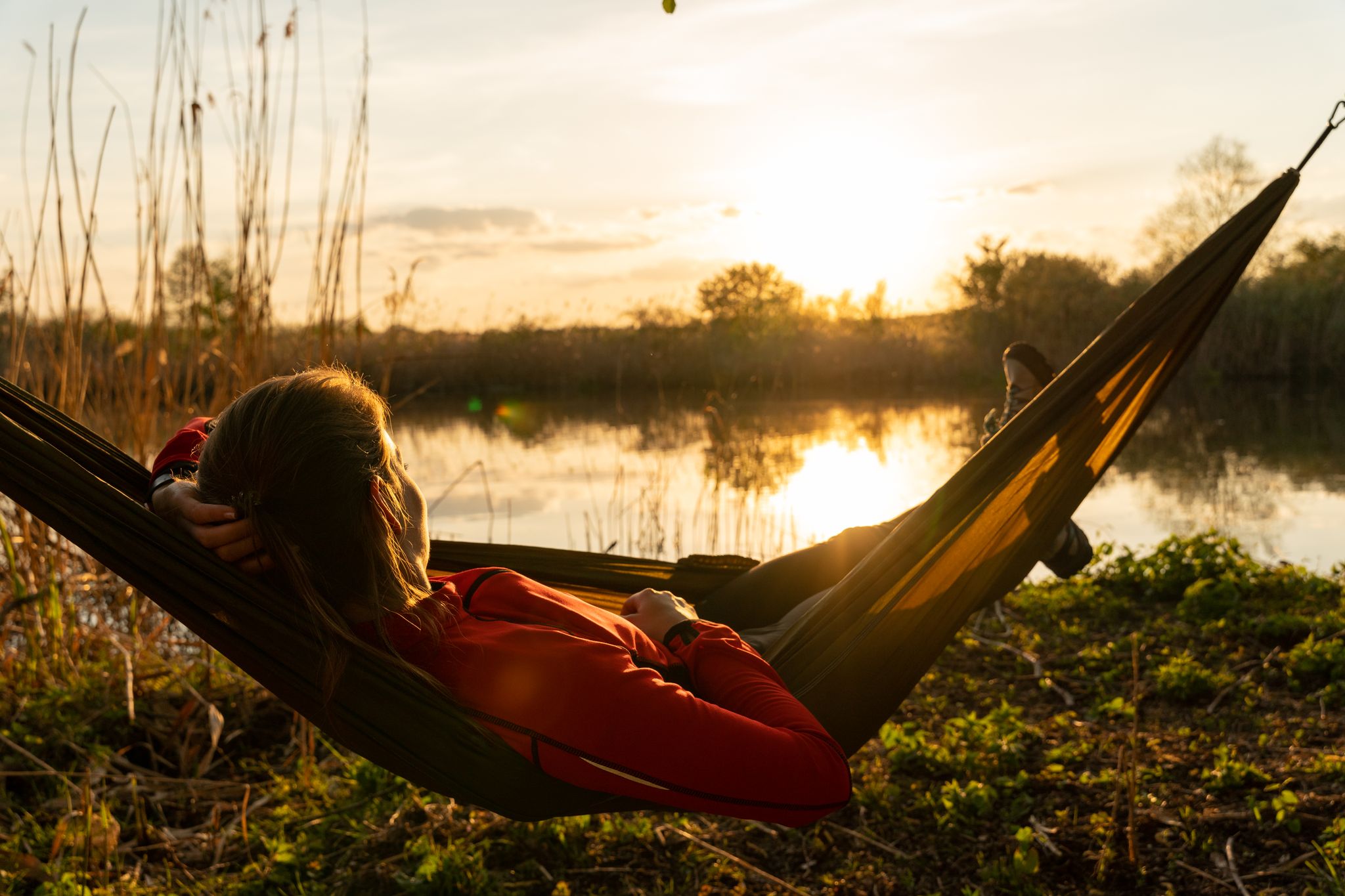
Late riser routes – hiking in the Oder-Spree Lake District
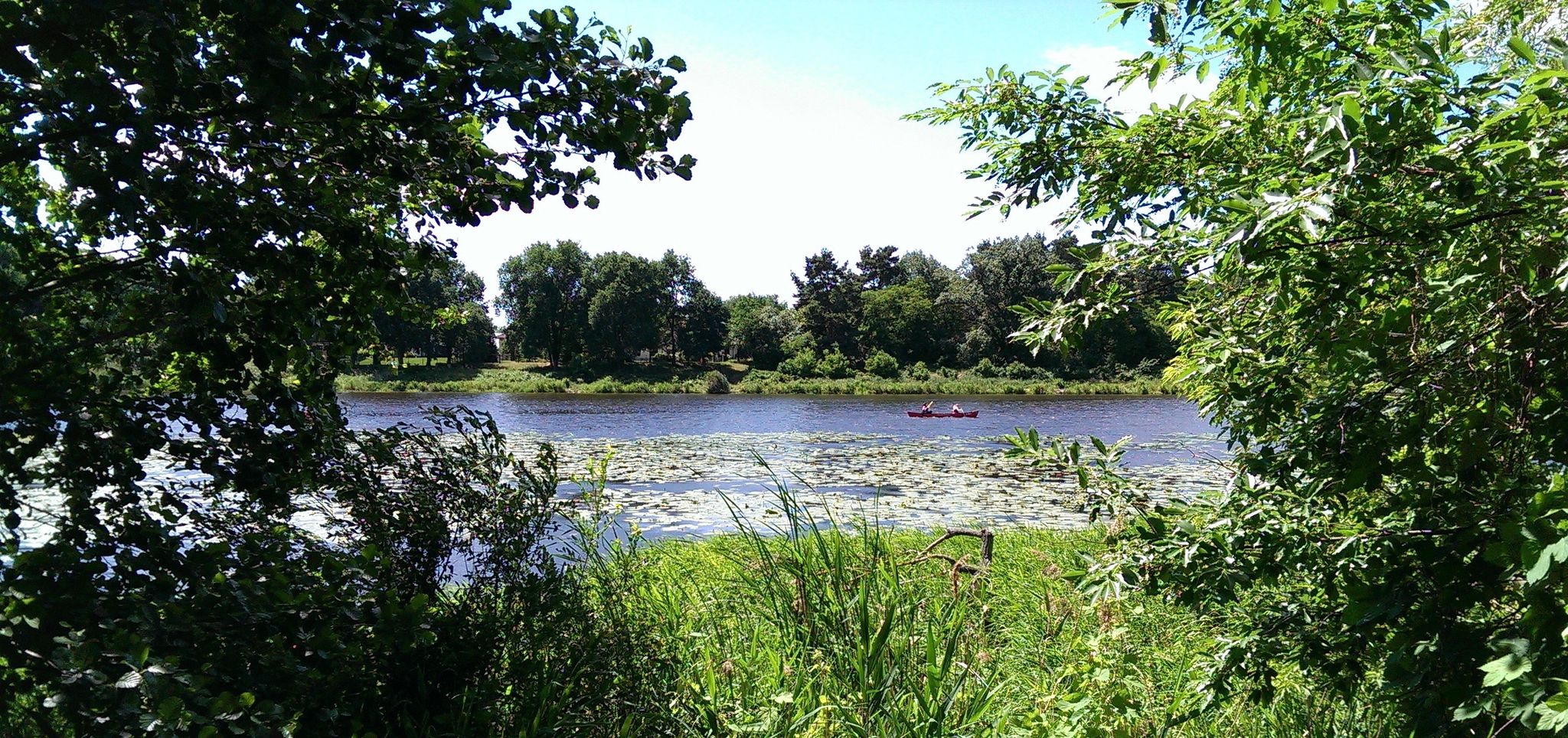
66 lakes around Berlin
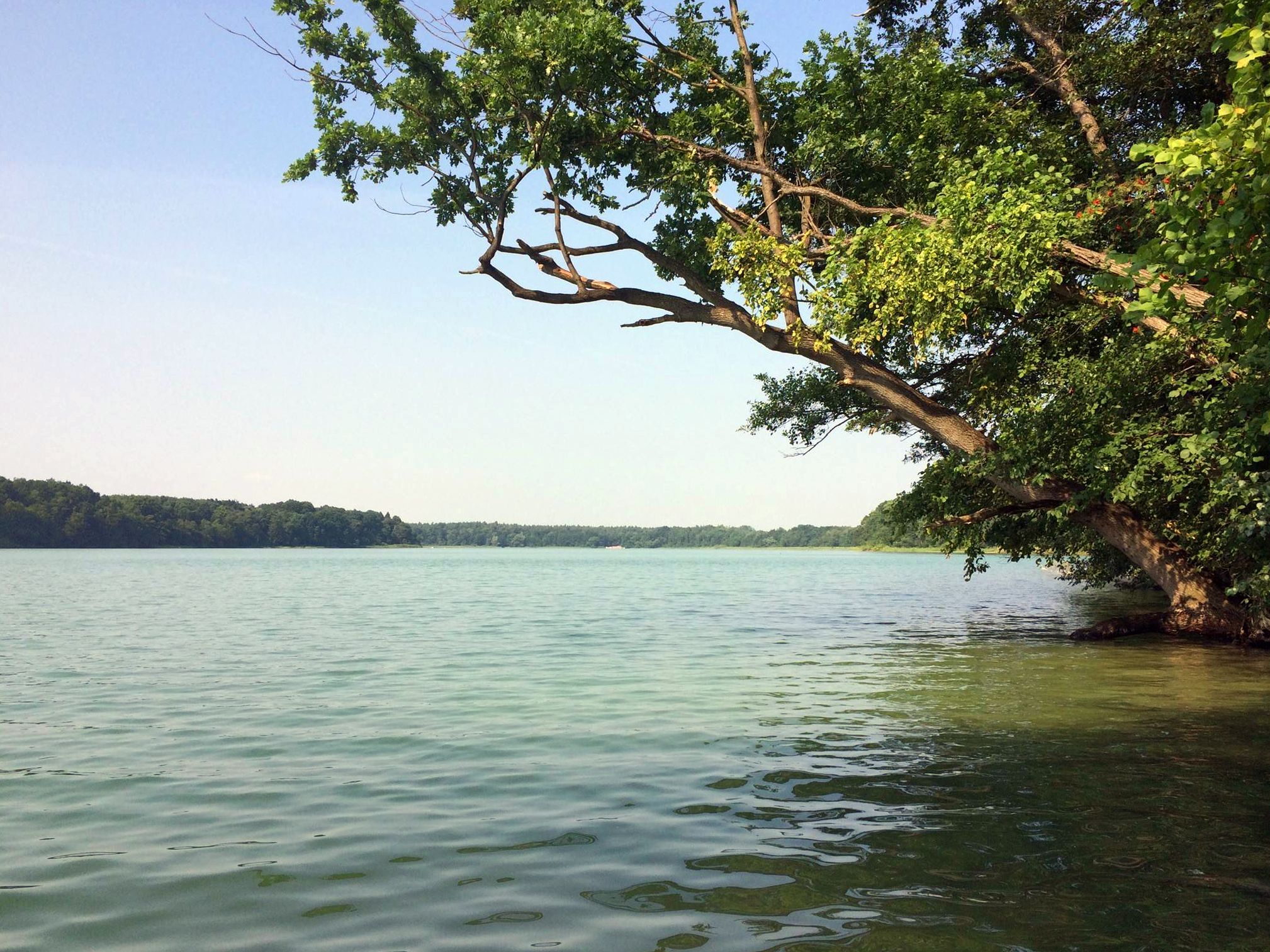
Berlin's sensational swimming lakes
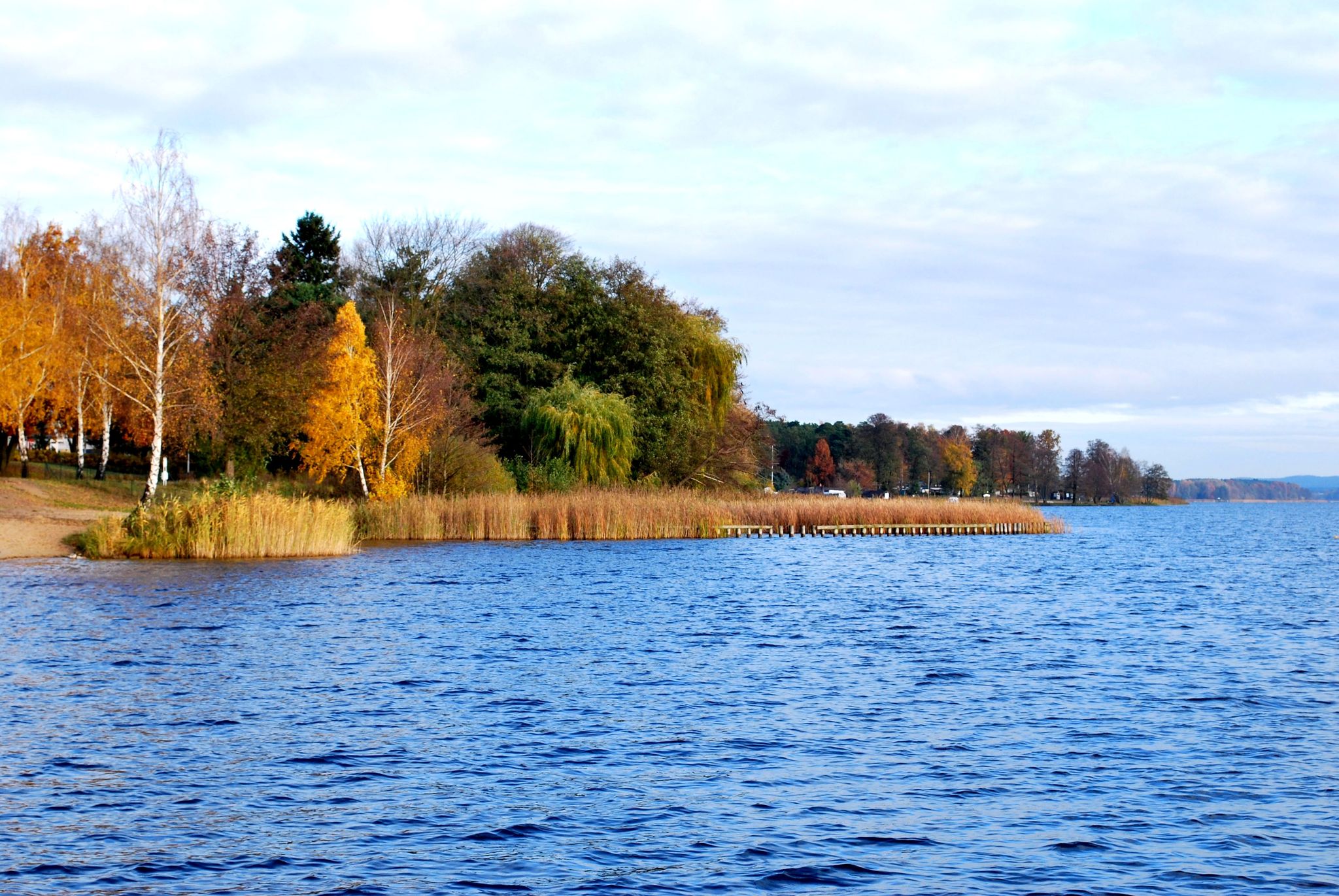
66-Seen-Wanderweg - Wandern im Seenland Oder-Spree
Cycling around Wendisch Rietz
Running Trails around Wendisch Rietz
Road Cycling Routes around Wendisch Rietz
MTB Trails around Wendisch Rietz

Gravel biking around Wendisch Rietz
Other adventures around Wendisch Rietz


Tips from the Community


Brick church, probably from the 15th century. Two-bay nave and chancel. Tower from 1895/1896. Burnt out in 1945 and rebuilt in 1949-1951.
0
0

A nice little harbor, which is at least mostly more sheltered from the wind.
0
0
The wooden bridge is partly rotten and partly has holes. You should really push your bike or ride carefully.
0
0

Almost directly along the water through the forest, but also quite rooty in short sections.
0
0

From a dilapidated cabin just 5 years ago, to a great new cabin, it has turned out beautifully!
1
0

The trail around all three lakes is approximately 12 km long and a real adventure for hikers. Obstacles such as fallen trees aren't a big problem, but they are more of a problem for cyclists.
0
0
Frequently Asked Questions
How many hiking trails are available around Wendisch Rietz?
There are over 80 hiking routes in the Wendisch Rietz area, offering a diverse range of experiences for all skill levels. These include easy lakeside strolls and more challenging forest paths.
What is the best time of year to go hiking in Wendisch Rietz?
The best seasons for hiking in Wendisch Rietz are spring and autumn. During these times, the weather is pleasantly mild, and nature displays its vibrant colors, from colorful flowers in spring to golden leaves in autumn.
What kind of terrain can I expect on hikes around Wendisch Rietz?
The region is characterized by a picturesque blend of water and woodlands. You can expect extensive lake shores, dense forests with a mix of pine, alder, and oak trees, and gentle rolling hills. Some areas also feature rare salt meadows.
Are there family-friendly hiking options in Wendisch Rietz?
Yes, Wendisch Rietz offers special, well-signposted hiking trails designed for families with children. These routes often include child-friendly challenges and opportunities for animal observation, making them enjoyable for younger hikers.
Can I bring my dog on the hiking trails?
Many trails in the Wendisch Rietz area are dog-friendly, allowing you to enjoy the beautiful landscapes with your canine companion. However, it's always recommended to keep dogs on a leash, especially in nature reserves or near wildlife, and to check local regulations for specific routes.
Are there circular hiking routes available?
Yes, many of the routes around Wendisch Rietz are circular, allowing you to start and end your hike at the same point. An example is the Sheep Bridge – Wendisch Rietz Lock loop from Wendisch-Rietz, which offers varied terrain over 6 miles.
What natural features or landmarks can I see while hiking?
The region is rich in natural beauty. You can explore the shores of Lake Scharmützelsee, discover the idyllic Glubigsee lake chain, or visit the rare salt meadows in the Storkow region, where an observation tower offers expansive views for birdwatching.
Are there any interesting historical sites or castles to explore near the trails?
Yes, the Märkische Höhenweg, which passes through the region, can lead you past historical sights such as Storkow Castle and Neuzelle Monastery. These offer a chance to appreciate impressive architecture and learn about the area's past while hiking.
What do other hikers say about the trails in Wendisch Rietz?
The hiking routes in Wendisch Rietz are highly rated by the komoot community, with an average score of 4.6 stars from over 1,300 reviews. Hikers often praise the diverse landscapes, well-maintained paths, and the tranquil atmosphere of the lakes and forests.
Are there any easy hikes suitable for beginners?
Yes, Wendisch Rietz offers numerous easy hikes perfect for beginners or those looking for a relaxed stroll. Many routes along the lake shores provide gentle terrain and beautiful views without significant elevation changes. There are 59 easy routes in the area.
Where can I find routes with water views or along lakes?
The region is defined by its lakes. You'll find many routes along the shores of the Scharmützelsee, Brandenburg's second-largest lake, and around the Glubigsee lake chain. The Forest trail by Lake Scharmützelsee is a popular option for extensive lake views.
Are there any observation towers or viewpoints along the trails?
Yes, you can find several excellent viewpoints. The Observation Tower at the Salt Meadows offers expansive views, particularly good for birdwatching. Additionally, the Kehlberg observation tower provides magnificent panoramic views over the entire region.
What are the options for public transport or parking near trailheads?
Wendisch Rietz is generally accessible, and many trailheads have designated parking areas. For public transport, regional train and bus services connect to the area, though specific trailhead access may require some planning. It's advisable to check local transport schedules when planning your hike.
Are there any long-distance trails that pass through Wendisch Rietz?
Yes, the region is part of the extensive 66-Lakes Trail, a long-distance path that can be explored in segments. The Märkische Höhenweg is another notable trail that passes through the area, offering varied terrain and connecting to historical sites.
Most popular routes around Wendisch Rietz
Most popular attractions around Wendisch Rietz

Get inspired with the komoot mobile app


Explore more
Browse the best Hikes in other regions.
