The best MTB trails around Pantigliate
4.1
(542)
1,377
riders
20
rides
Mountain biking around Pantigliate offers a network of routes primarily through local parks, along river paths, and past green spaces. The terrain is generally flat, with minimal elevation changes, making it accessible for various skill levels. Riders can explore areas like the Idroscalo of Milan and the Parco della Besozza, providing a mix of natural and semi-urban cycling experiences. These easy mountain bike trails Pantigliate often follow waterways and connect to larger park systems.
Best mountain bike trails around Pantigliate
…Last updated: October 29, 2026
3.8
(10)
20
riders
Easy mountain bike ride.
5.0
(3)
13
riders
Easy mountain bike ride.

4.0
(2)
8
riders
30.0km
01:33
50m
50m
Easy mountain bike ride.
3.7
(3)
11
riders
Moderate mountain bike ride. Good fitness required. Advanced riding skills necessary.
4.0
(4)
8
riders
Easy mountain bike ride.
Get access to more routes and recommendations from other explorers.
Already have an account?
Our route recommendations are based on thousands of hikes, rides, and runs completed by other people on komoot.
Start today with a free account
Your next adventure awaits.

Tips from the Community

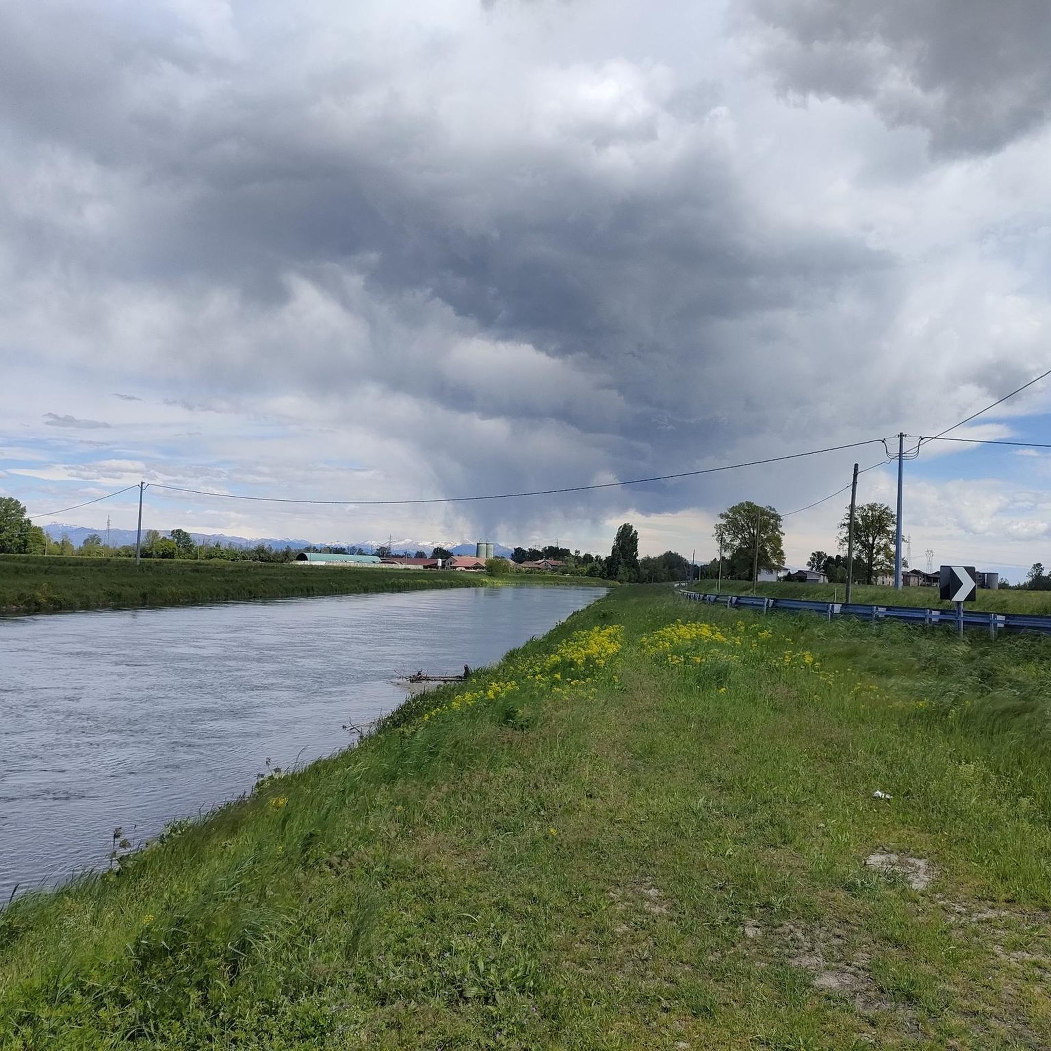
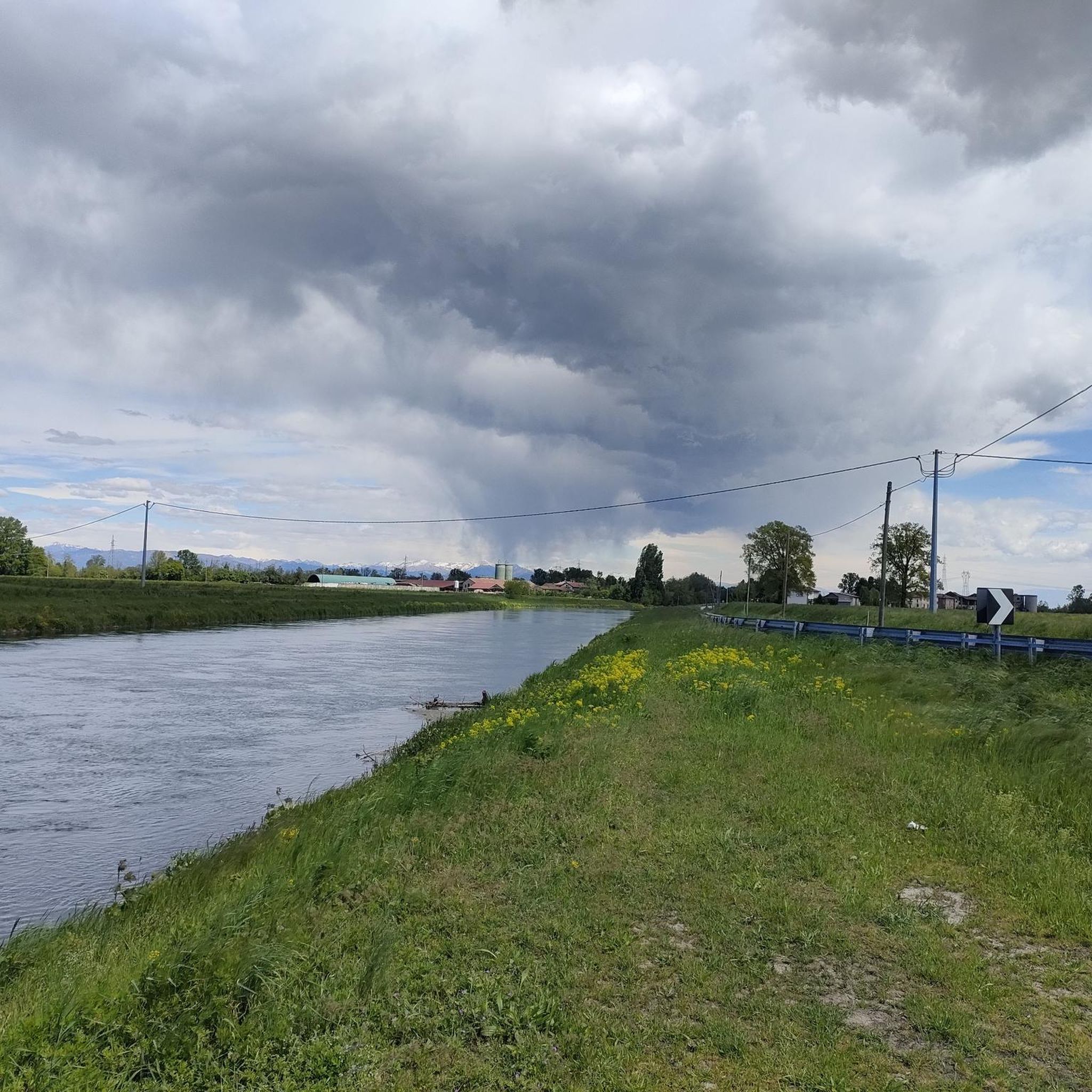
The Muzza Canal, also known as Canale della Muzza, originates near the Castello di Cassano d’Adda, where it draws water from the Adda river. After a course of about 39 km, it flows back into the Adda near Castiglione. Considered an important hydraulic engineering work at a European level, the Muzza Canal is among the oldest in Europe, with about 800 years of history, and is the largest in Northern Italy. Crossing the landscapes of the Po Valley, the canal contributes to the irrigation of the surrounding lands of the Lodi area and preserves precious patches of woodland vegetation, which characterize the Lombard territory. An ideal place to explore the beauty of nature and discover the agricultural history of the region!
1
0

all in the shade at any time
0
0

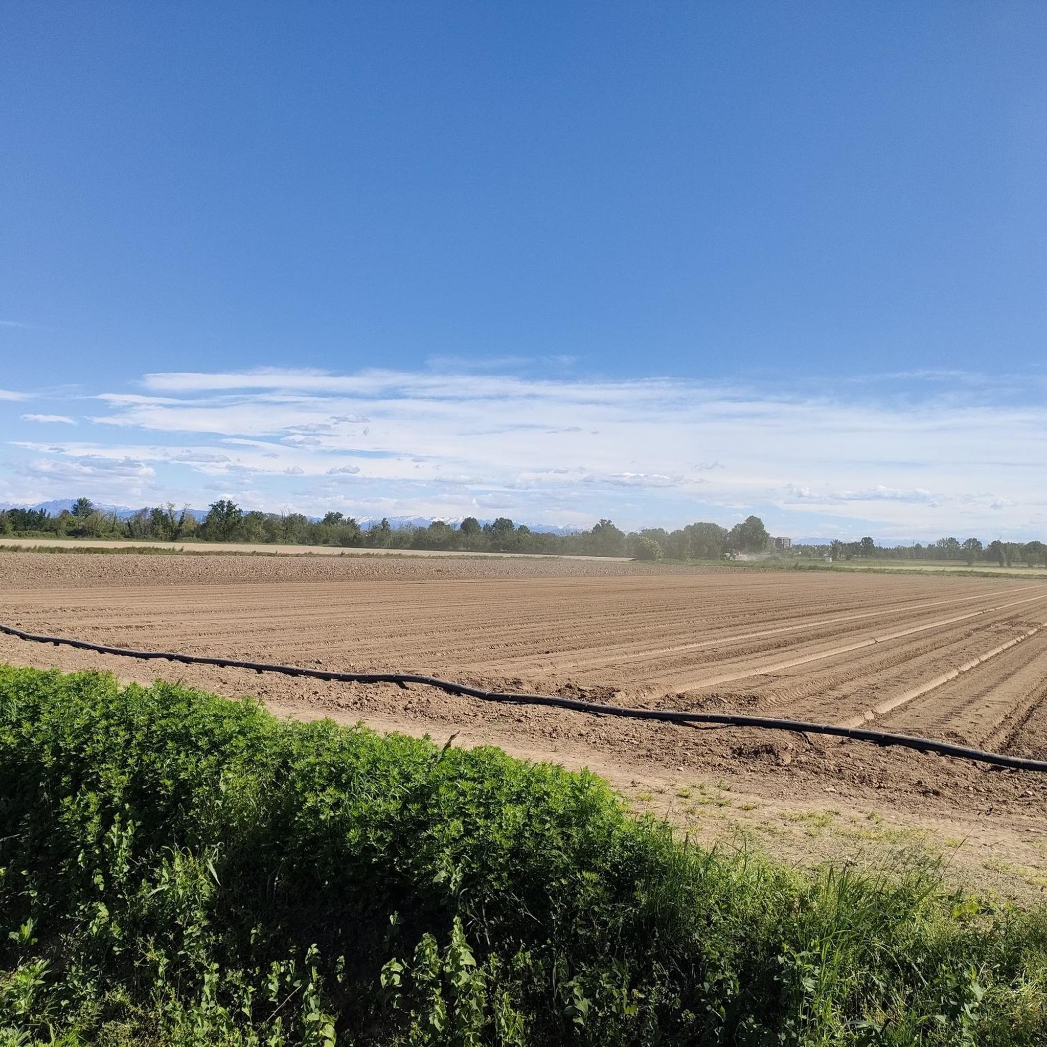
Crossing point between Paullo and Tribiano, a small, little-visited village, 100% safe road
0
0
The Abbey of Chiaravalle Milanese is a Cistercian monastic complex founded in 1135 by Saint Bernard of Clairvaux. Located within the Parco Agricolo Sud Milano, it represents one of the most important examples of the transition between Romanesque and Gothic architecture in Lombardy. The abbey is famous not only for its historical and artistic value, but also for the historical role of the monks in the agricultural reclamation of the surrounding territory.
0
0

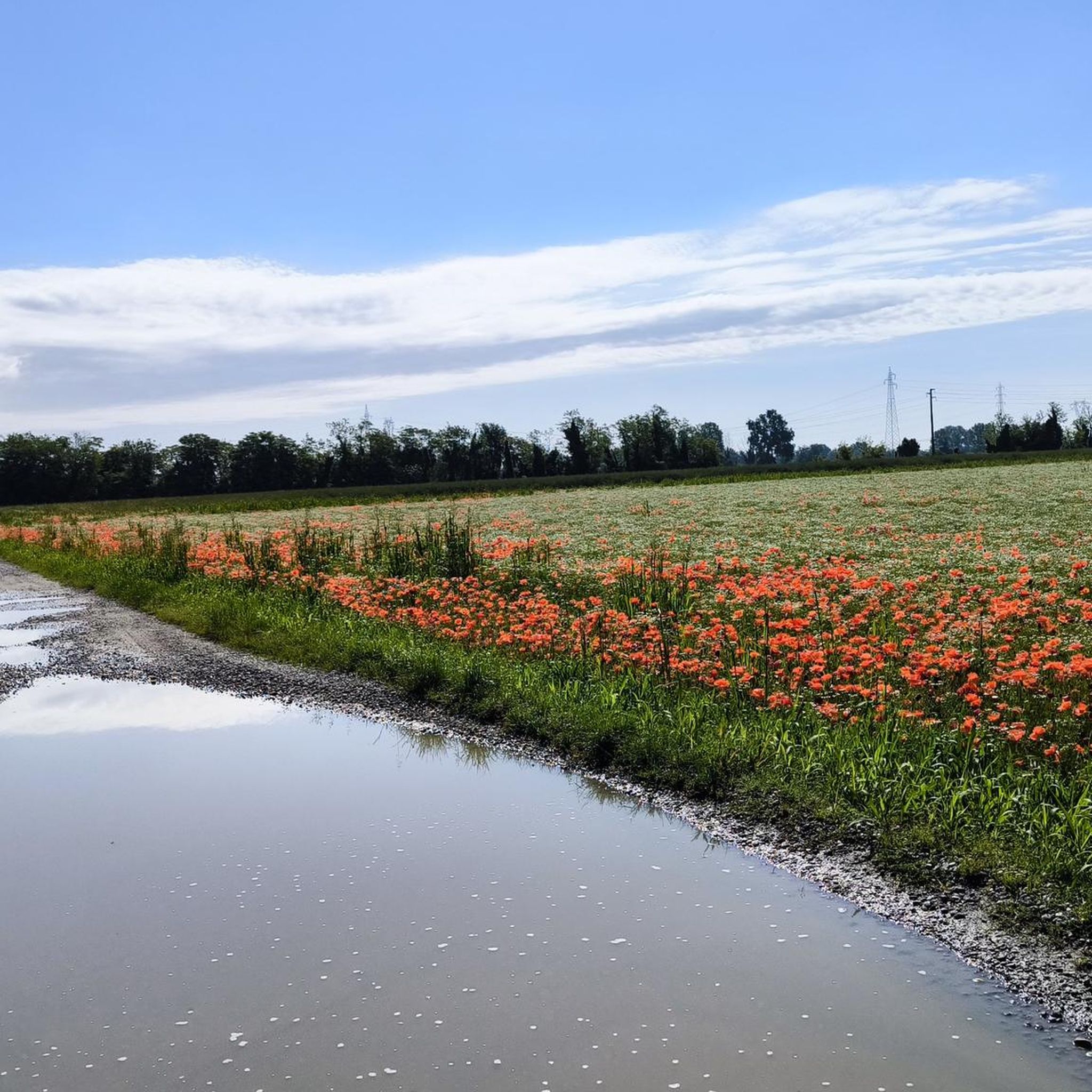
The cycle path between Malaspina (San Felice) and San Bovio is an easy and flat cycle-pedestrian route, ideal for leisure and commuting, which crosses the greenery between Segrate and Peschiera Borromeo. It passes along Lake Malaspina, near the quarry lakes and the Bosco della Besozza, offering a loop of about 9-10 km. [1, 2]
0
0
The Besozza Forest saw its origin in 2003, thanks to the project “Ten Great Plain Forests” by the Lombardy Region with the aim of improving the environment, increasing biodiversity, and promoting educational and recreational paths.
0
0
The Muzza Canal is the oldest in Europe and just this year, its 800th anniversary was celebrated by the Municipality of Paullo in collaboration with the Pro Loco and other Municipalities. Its origin dates back to the year 1220, when Frederick II of Swabia, crowned emperor of the Holy Roman Empire, issued an imperial edict that granted the people of Lodi the right to use the waters flowing within their territory. The current route, about 60 km long, receives the waters of the Adda River at Cassano d’Adda, at an altitude of 120 m above sea level, crosses the Lodi territory for about 40 km until near Castiglione d’Adda, at an altitude of 45 m above sea level, and here it releases them back into the Adda River. It has a regulated water regime, with a flow rate, depending on the season, of about 200 thousand liters of water per second; an initial width of 50 meters which reduces to a few meters at the end of its course and an average depth of 2 meters.
2
0
The Abbey is famous because it contributed to the reclamation of the surrounding lands in past centuries, transforming the marshes of the Po Valley into productive organisms. And in fact, right here, around the year 1000, the monks invented Grana Padano, the globally less famous version of Parmigiano.
1
0
Frequently Asked Questions
What kind of mountain bike trails can I expect around Pantigliate?
Mountain biking around Pantigliate primarily features routes through local parks, along river paths, and past green spaces. The terrain is generally flat with minimal elevation changes, making it accessible for various skill levels. You'll find a mix of natural and semi-urban cycling experiences, often following waterways and connecting to larger park systems.
Are there mountain bike trails suitable for beginners or families in Pantigliate?
Yes, Pantigliate is an excellent area for beginners and families. The guide features 13 easy mountain bike routes, characterized by their flat terrain and minimal elevation. A great option for families is the Castello di Peschiera Borromeo – Besozza Forest loop from Pantigliate, which is 20.1 km long and passes through pleasant forest sections and by a historic castle.
How many mountain bike trails are available in the Pantigliate area?
There are 21 mountain bike trails documented in the Pantigliate area on komoot. These include 13 easy routes and 8 moderate routes, offering a good variety for different preferences.
What are some scenic mountain bike routes in Pantigliate?
For scenic rides, consider routes that pass through the area's natural highlights. The Riverside Path Along the Muzza – View of Lanca della Cascinetta loop from Pantigliate offers beautiful views along the Muzza river. Another option is the Parco della Besozza Cycle Path – Start of Strada del Duca loop from Pantigliate, which guides riders through parkland and along dedicated cycle paths.
Are there any circular mountain bike routes starting from Pantigliate?
Yes, many of the mountain bike trails around Pantigliate are designed as loops. For example, the Mountainbike loop from Pantigliate is a 30 km easy route that starts and ends in Pantigliate, perfect for a round trip.
What kind of natural attractions can I see along the mountain bike trails?
While riding, you can explore several natural attractions. The Besozza Forest is a prominent feature, offering shaded paths. You might also encounter the Carengione Wood or the Isola delle Rose. These natural monuments provide beautiful scenery and a peaceful riding environment.
Are there historical landmarks or castles accessible by mountain bike in Pantigliate?
Yes, the area around Pantigliate is home to several historical sites. You can cycle past the impressive Castello di Peschiera Borromeo, which is featured on some routes. Other nearby castles include the Corneliano Bertario Castle and Melegnano Castle, offering interesting points of interest during your ride.
What do other mountain bikers say about the trails in Pantigliate?
The mountain bike trails in Pantigliate are highly rated by the komoot community, with an average score of 4.1 stars from over 450 reviews. Riders often praise the accessibility of the routes, the pleasant parkland, and the quiet river paths that make for enjoyable cycling experiences.
Is Pantigliate suitable for mountain biking in winter?
Given the generally flat terrain and minimal elevation, many trails around Pantigliate can be ridden in winter, provided there isn't heavy snow or ice. River paths and park trails might be muddy after rain, so checking local conditions and wearing appropriate gear is advisable.
Are there any moderate mountain bike trails for more experienced riders?
Yes, while many trails are easy, there are 8 moderate routes for those seeking a bit more challenge or longer distances. The Riverside Path Along the Muzza – View of Lanca della Cascinetta loop from Pantigliate is a moderate 48.1 km route, offering a longer ride with slightly more varied terrain compared to the easy options.
Can I find mountain bike trails that connect to larger park systems?
Yes, the trails around Pantigliate often connect to larger park systems. For instance, routes frequently lead through areas like the Idroscalo of Milan and the Besozza Forest, integrating into broader green networks for extended rides.
Most popular routes around Pantigliate
Most popular attractions around Pantigliate

Get inspired with the komoot mobile app


Explore more
Browse the best MTB trails in other regions.
