The best walks and hikes around Pantigliate
4.3
(317)
3,416
hikers
167
hikes
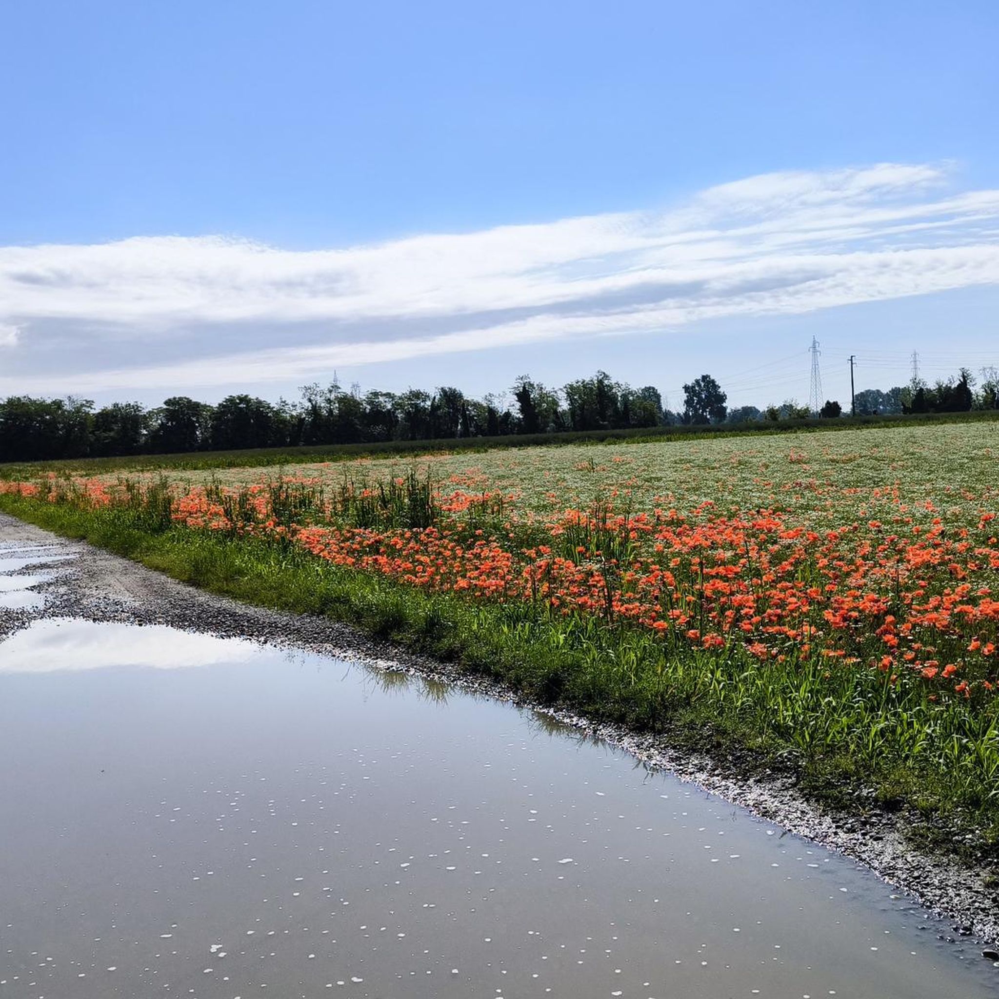
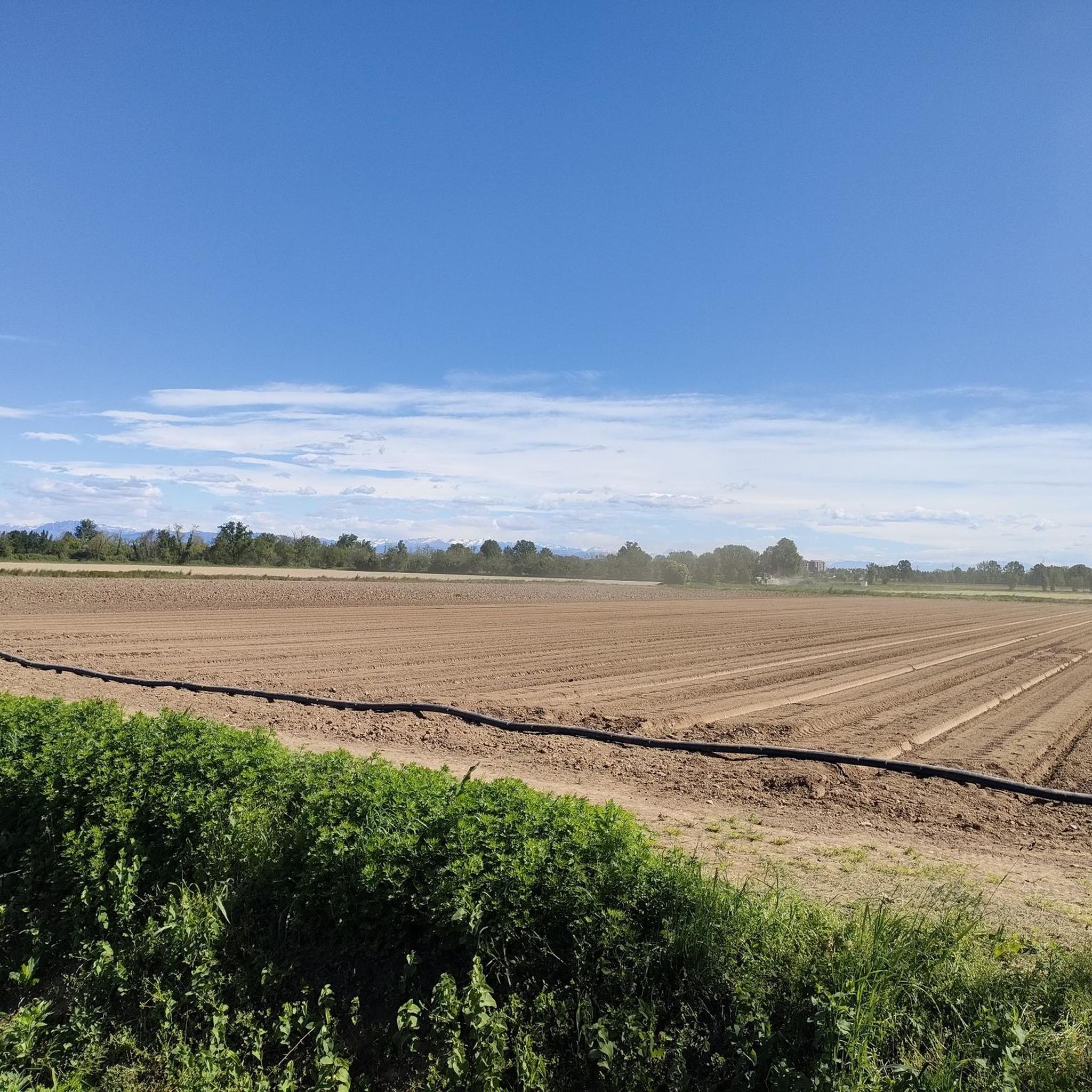
Hiking around Pantigliate offers access to varied landscapes transitioning from the flat Po Valley towards the initial elevations leading to the Alps. The region features lush natural and rural vegetation, providing diverse scenery for outdoor activities. While Pantigliate itself is closer to urban centers, the surrounding Lombardy area includes protected environmental zones and views of distant Alpine peaks. This network of trails caters to various fitness levels, from easy walks to more demanding routes.
Best hiking trails around Pantigliate
- The…
Last updated: October 29, 2026
5.0
(1)
26
hikers
Easy hike. Easily walkable paths.
4.7
(7)
38
hikers
9.73km
02:27
10m
10m
Moderate hike. Good fitness required. Easily walkable paths.

4.8
(5)
24
hikers
Easy hike. Easily walkable paths.
4.0
(1)
22
hikers
5.35km
01:21
10m
10m
Easy hike. Easily walkable paths.
4.3
(4)
12
hikers
Moderate hike. Good fitness required. Easily walkable paths.
Get access to more routes and recommendations from other explorers.
Already have an account?
Our route recommendations are based on thousands of hikes, rides, and runs completed by other people on komoot.
Start today with a free account
Your next adventure awaits.

Tips from the Community

A true gem just a stone's throw from Milan. It's a shame it can't be visited.
3
0

if you meet the owner Mr. Politi it is really nice to greet him and listen to his stories about life on the farm
0
0

Castello Borromeo, built in the 13th century, the medieval structure had a quadrangular plan, with a moat and a tall tower for defense and sighting purposes. Today, following modifications, it presents itself as a country villa, with an L-shaped plan and an elegant double loggia overlooking the noble courtyard. The long access avenue ends in a medieval turret while rustic buildings can be recognized on the sides of the complex. The castle is surrounded by a large park with centuries-old trees and two mulberry trees, part of the ancient plantation for silkworm breeding. The complex, privately owned, is not open to visitors.
1
0

Located between Peschiera Borromeo and Mezzate, the Carengione forest is a natural area of about 23 hectares. It is characterized by an alternation of cultivated areas and wooded strips. Its name probably refers to the presence, in the past, of extensive sedge beds, or annular areas that surround the lake basins, characterized by the presence of plants of the Carex genus.
1
0


Valid alternative to the Besozza park
1
0

Beautiful 1400s castle of the Borromeo family, located in a strategic area and easily reachable by bicycle. You can find the whole story at the following address: https://www.comune.peschieraborromeo.mi.it/it/page/il-castello-b63ef333-8b78-49ff-9876-a6e995cfd653
4
0

A castle with a moat still surrounding it full of water! It is the oldest Borromeo possession in Lombardy.
4
0
Frequently Asked Questions
How many hiking trails are available around Pantigliate?
There are over 130 hiking routes around Pantigliate, offering a wide variety of experiences. These include 77 easy routes, 55 moderate routes, and 1 difficult route, catering to all fitness levels.
What kind of terrain can I expect on hikes near Pantigliate?
The terrain around Pantigliate primarily features flat agricultural lands and river paths. You'll experience lush natural and rural vegetation, with occasional glimpses of distant Alpine foothills, as the region transitions from the Po Valley towards higher elevations.
Are there any family-friendly hiking options in the Pantigliate area?
Yes, many of the 77 easy routes are suitable for families. A good option is the Castello di Peschiera Borromeo loop from Pantigliate, which is 6.8 km long and takes about 1 hour 43 minutes, offering a pleasant walk through local surroundings.
Can I bring my dog on the hiking trails around Pantigliate?
Most trails around Pantigliate are dog-friendly, especially those through rural and wooded areas. Always ensure your dog is under control, and check local regulations for specific areas. The Piadana Gravel Road – Castello di Peschiera Borromeo loop from Peschiera Borromeo is a great easy option for a walk with your canine companion.
Are there any circular walks near Pantigliate?
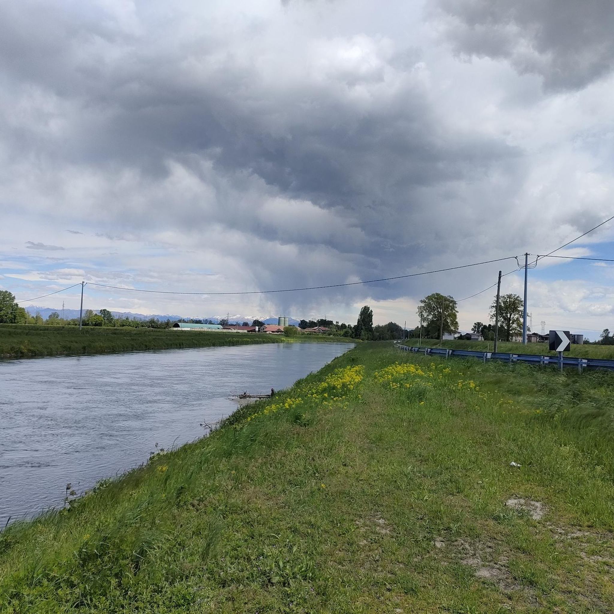
Yes, many routes are designed as circular walks, allowing you to start and end in the same location. Examples include the Canale Muzza loop from Paullo, a moderate 9.7 km route, and the longer Muzza River – Canale Muzza loop from Paullo, which is 15.6 km.
What interesting landmarks or attractions can I see while hiking?
Several routes pass by historical and natural points of interest. You can explore the Castello di Peschiera Borromeo, or enjoy the scenery around the Idroscalo of Milan. The Castello di Peschiera Borromeo – Carengione Wood loop from Peschiera Borromeo specifically leads through wooded areas and past historical landmarks.
What do other hikers enjoy most about hiking in Pantigliate?
The area is highly rated by the komoot community, with an average score of 4.4 stars from over 300 reviews. Hikers often praise the peaceful rural environment, the well-maintained paths, and the opportunity to enjoy nature close to urban centers. Over 3,700 hikers have used komoot to explore Pantigliate's varied terrain.
Are there any routes that go through wooded areas?
Yes, some routes incorporate wooded sections, offering shade and a different natural experience. The Castello di Peschiera Borromeo – Carengione Wood loop from Peschiera Borromeo is a moderate 8.6 km path that specifically leads through wooded areas.
What is the best time of year to go hiking around Pantigliate?
The region is enjoyable for hiking during most seasons. Spring and autumn offer pleasant temperatures and vibrant scenery. Summer can be warm, making early morning or late afternoon hikes ideal, while winter provides a different, often quieter, experience of the rural landscape.
Is there public transport access to the hiking trails near Pantigliate?
While Pantigliate is close to Milan, specific public transport connections directly to trailheads can vary. It's advisable to check local bus schedules or consider driving to starting points in towns like Peschiera Borromeo or Paullo, which are common access points for many routes.
Are there any longer, more challenging hikes available?
For those seeking a longer excursion, the Muzza River – Canale Muzza loop from Paullo is a moderate 15.6 km trail that takes approximately 3 hours 56 minutes to complete, leading through extensive riverine landscapes.
What kind of natural features can I expect to see?
You'll encounter a mix of agricultural fields, riverine environments along the Muzza River and Canale Muzza, and pockets of natural vegetation. The broader Lombardy region, which Pantigliate is part of, is also known for its transition from the flat Po Valley to the initial elevations leading to the Alps, offering varied scenery and distant views.
Most popular routes around Pantigliate
Most popular attractions around Pantigliate

Get inspired with the komoot mobile app


Explore more
Browse the best Hikes in other regions.
