The best walks and hikes around Carona
4.6
(2337)
13,954
hikers
80
hikes
Hiking around Carona offers access to the mountainous terrain of the Bergamasque Alps, characterized by steep slopes and impressive views. The region features an extensive network of hiking trails that wind through forests and past numerous alpine lakes. Hikers can explore diverse landscapes, from serene woods to challenging high-altitude paths.
Best hiking trails around Carona
- The most popular hiking route is Hike to the Fratelli Calvi Refuge, a 10.5 miles (16.8 km) trail that takes 6 hours 13 minutes…
Last updated: September 26, 2026
4.5
(372)
2,079
hikers
16.8km
06:14
890m
890m
Hard hike. Very good fitness required. Mostly accessible paths. Sure-footedness required.
4.6
(168)
935
hikers
14.6km
06:42
1,020m
1,020m
Hard hike. Very good fitness required. Mostly accessible paths. Sure-footedness required.

4.5
(180)
907
hikers
17.6km
06:24
830m
830m
Embark on a difficult hike from Carona to Rifugio Calvi and Lago di Fregabolgia, covering 10.9 miles (17.6 km) with a significant elevation gain of 2730 feet (832 metres). This…
4.6
(169)
1,056
hikers
18.3km
06:24
1,000m
1,000m
Embark on a challenging hike from Carona, covering 11.3 miles (18.3 km) with a significant elevation gain of 3278 feet (999 metres). This difficult route will take you approximately 6…
4.5
(143)
952
hikers
16.4km
06:18
1,010m
1,010m
Hard hike. Very good fitness required. Sure-footedness, sturdy shoes and alpine experience required.
Get access to more routes and recommendations from other explorers.
Already have an account?
Our route recommendations are based on thousands of hikes, rides, and runs completed by other people on komoot.
Start today with a free account
Your next adventure awaits.
Popular around Carona
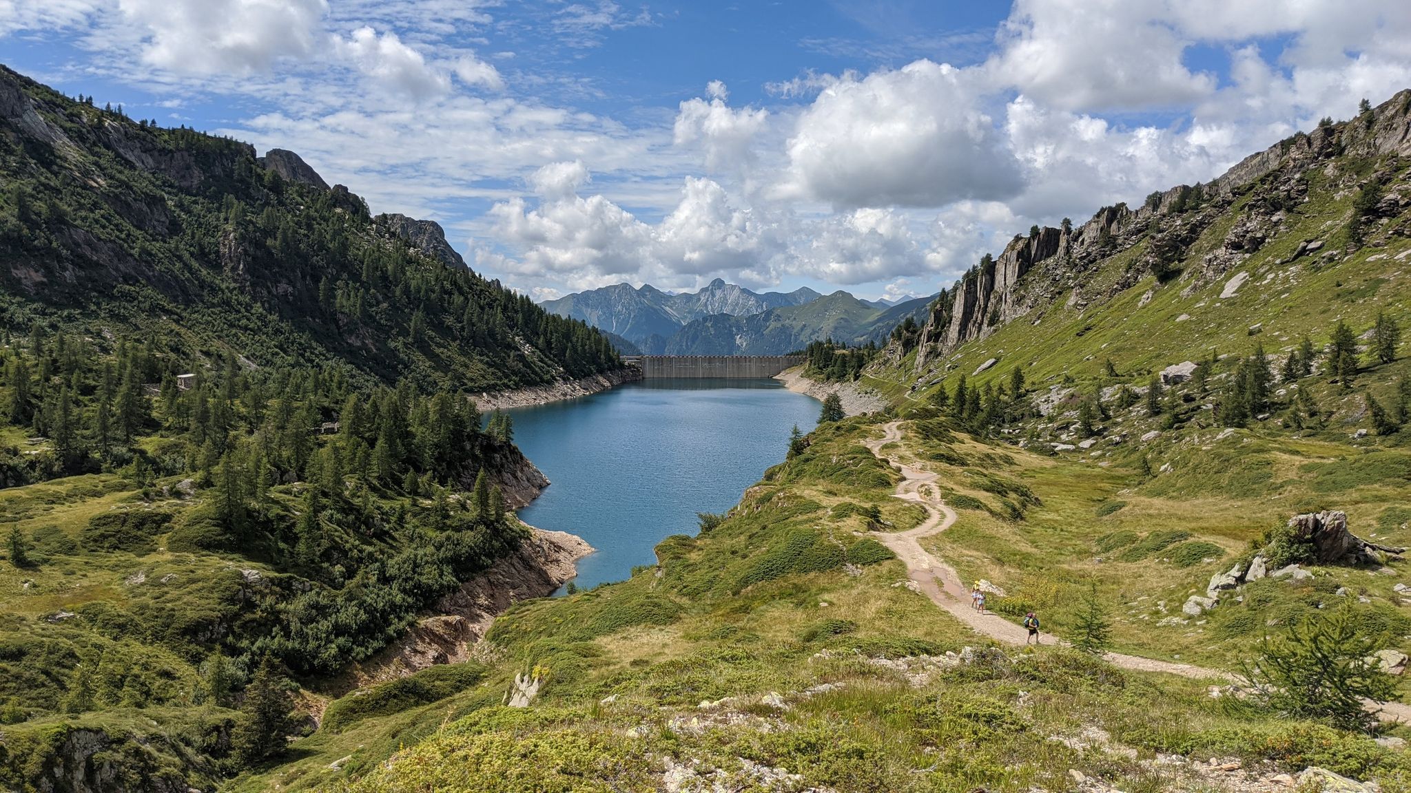
Eastern Orobie Path – a loop through Italy’s Orobie Mountains
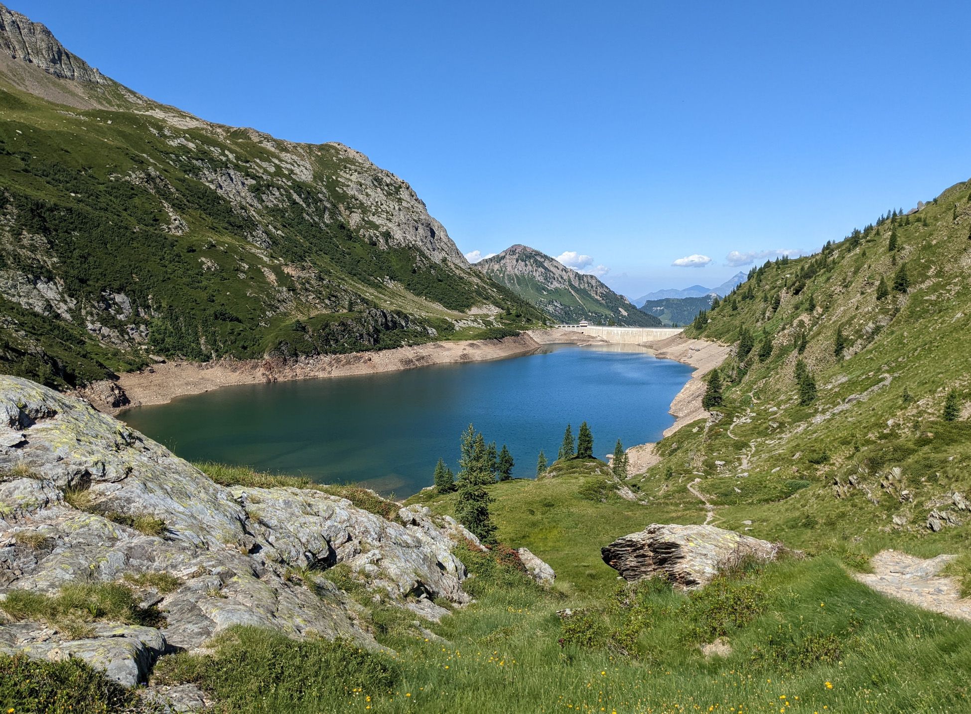
Walking on water – lakes, rivers and waterfalls in the Bergamo valleys
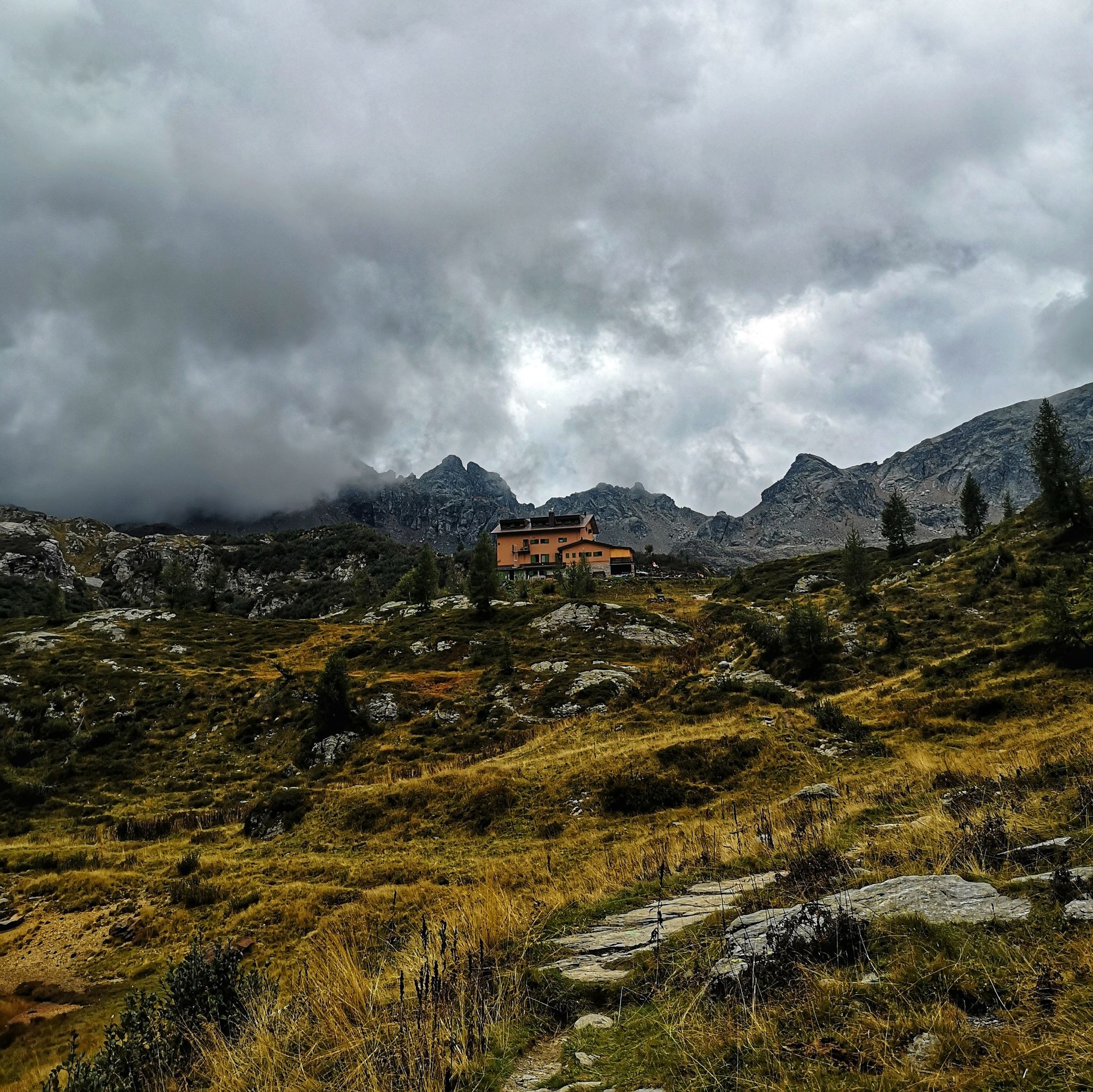
Discover the Brembana Valley – 3 hikes from Carona
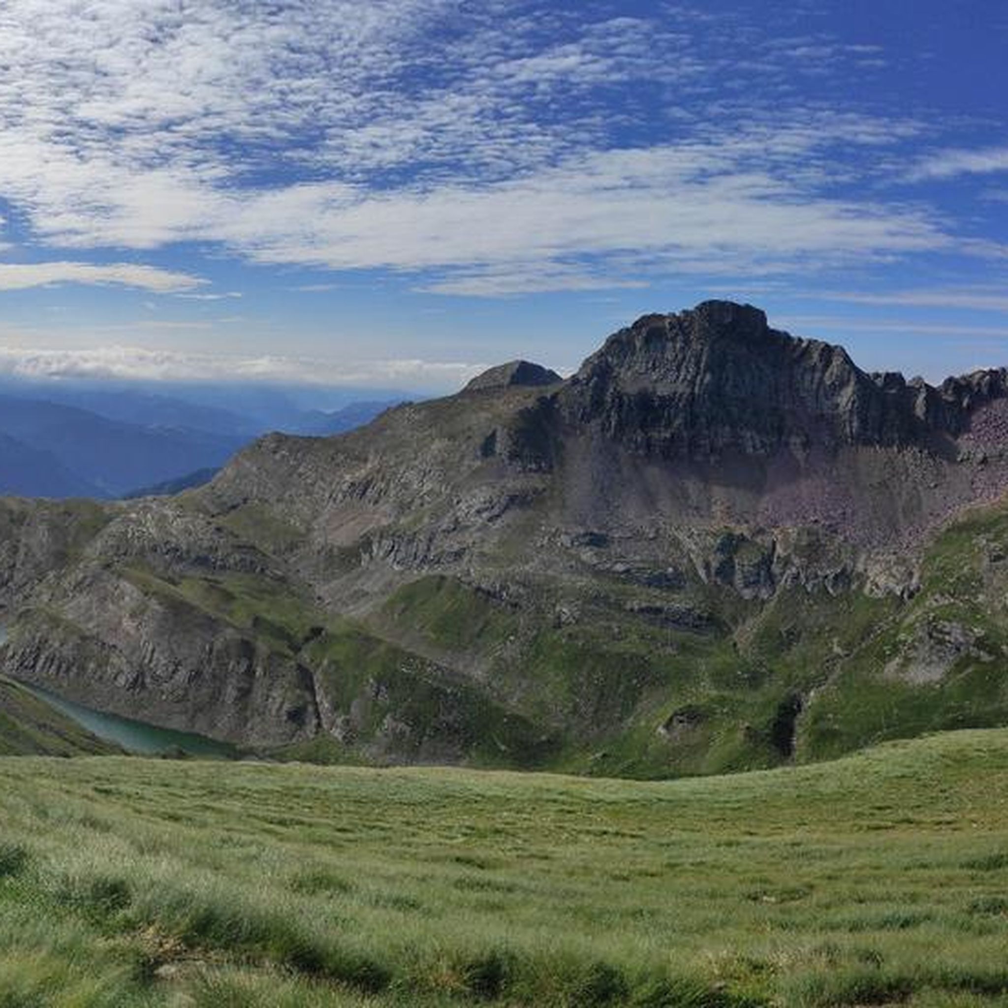
MTB Trails around Carona
Running Trails around Carona
Road Cycling Routes around Carona
Cycling around Carona

Mountain Hikes around Carona
Other adventures around Carona


Tips from the Community

Characteristic mountain hut, easy to reach, offers a fountain to quench your thirst and cool off.
0
0


The Rifugio Fratelli Longo is located at an altitude of 2,026 meters in the municipality of Carona (BG), in the splendid setting of the Alta Val Brembana within the Parco delle Orobie Bergamasche.
4
0
The Cascata della Val Sambuzza (also known as Cascata di Carona) is one of the most striking waterfalls in the Val Brembana, located at an altitude of about 1,413 meters in the municipality of Carona, in the province of Bergamo
4
0
PAGLIARI, memory in Stone. Up there, after the last houses of Carona, on the edge of the road leading to the Calvi Hut and, from here, to the many variants of the Orobie Alps trail network, the Hamlet of Pagliari emerges on the right, from a small yet evocative clearing. An ancient village, among the best preserved in its rustic architecture, which in winter appears as a single compact, dark stone, standing out against the immaculate carpet of snow, while in summer it blends into a gentler, more varied landscape, where the green tongues of pastures and meadows wind between the small streets and paths, within its open spaces. We are in the last valley of the upper Brembo, in the extreme Bergamo outpost to the North, under the imposing buttresses that divide, and in some ways unite, the Orobie valleys from those of Valtellina. The mountains that widen into an amphitheater and frame the superb peak of Pizzo del Diavolo, constitute, in fact, not only the watershed between the two neighboring provinces (Bergamo and Sondrio), but also the epicenter of a cultural and commercial area dense with paths and communication routes between one valley and another.
5
0

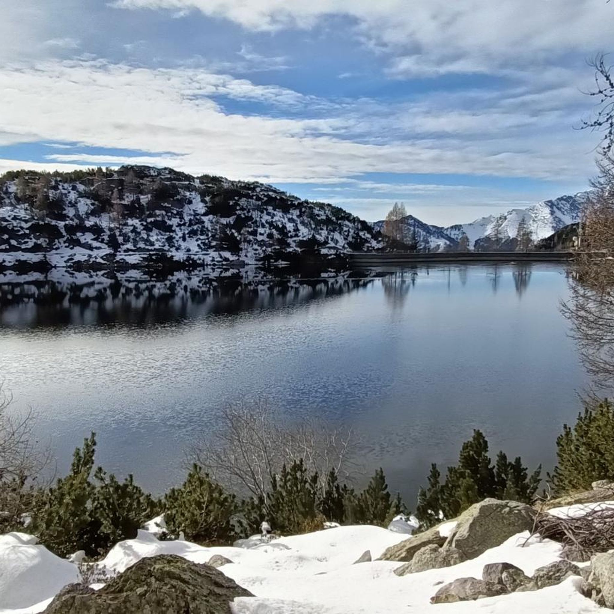
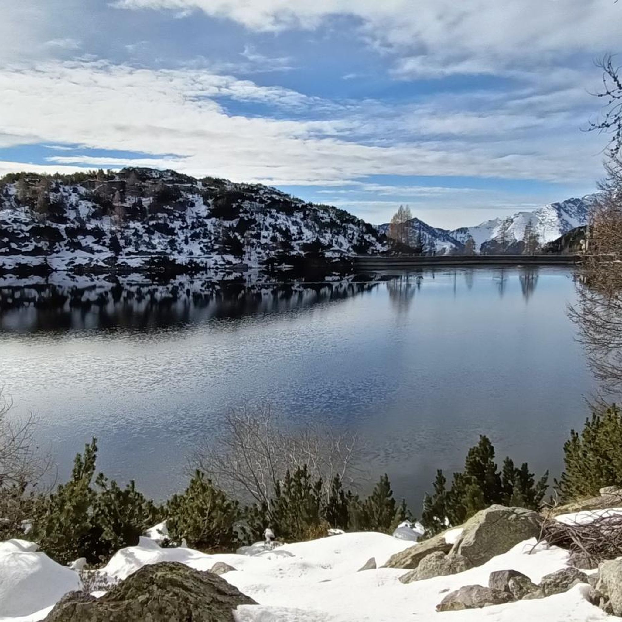
Beautiful artificial lake, we passed it both on the way there and on the way back
0
0

Rifugio recently renovated internally with a solid wood dining room and new windows and doors. Lunch service absolutely organized and up to par even on weekends with discreet attendance. Reachable by an easy dirt road, and a starting point for both the easy destination of the Diavolo lake, and for something more challenging like the Selletta pass, or Mount Aga, or even for a loop trail passing by the Calvi refuge on the way back.
0
0

From Lake Prato you go up to Calvi, just before the small bridge you take the left towards Longo and a little further along the path, you arrive at Lake Prato
0
0
Frequently Asked Questions
How many hiking trails are there around Carona?
Carona offers a vast network of hiking trails, with over 75 routes available for exploration. These trails cater to various skill levels, from moderate paths to challenging mountaineering routes, all set within the stunning Orobie Alps.
Are there easy hiking trails suitable for beginners or families in Carona?
While many trails in Carona are challenging, there are options for easier hikes. Approximately 22 routes are rated as moderate, and 4 are considered easy. These paths often wind through pleasant woods, providing a serene experience without extreme elevation gains. Look for trails that explore the lower valleys or around the smaller lakes for a more relaxed outing.
What kind of challenging hikes can I find in Carona?
For experienced hikers seeking a challenge, Carona is an ideal destination. Over 50 routes are rated as difficult, often involving significant altitude differences and exposed sections. Examples include the demanding Hike to the Fratelli Calvi Refuge or the scenic Hike to the Laghi Gemelli Refuge, both offering breathtaking alpine views.
Are there any circular hiking routes in Carona?
Yes, Carona features several circular hiking routes, perfect for those who prefer not to retrace their steps. Many trails are designed as loops, allowing you to experience diverse landscapes and return to your starting point. The region's extensive network makes it possible to combine paths for longer circular tours.
Can I hike with my dog in Carona?
Many trails in Carona are dog-friendly, allowing you to explore the beautiful Orobie Alps with your canine companion. However, it's always advisable to keep your dog on a leash, especially in areas with livestock or protected wildlife. Be sure to carry enough water for both yourself and your dog, as water sources can be scarce on higher altitude trails.
What natural attractions, like lakes or waterfalls, can I see while hiking in Carona?
Carona is renowned for its stunning natural features. Hikers can discover numerous alpine lakes, such as the picturesque 'twin lakes,' Lake Colombo, Lago Sucotto, Lago d'Aviasco, and Lago Nero. The area also boasts the beautiful Val Sambuzza Waterfall, which can be part of a longer hiking loop. Many routes, like the From Lake Carona to Devil's Lake, lead past these captivating bodies of water.
Are there mountain refuges accessible on hikes from Carona?
Absolutely. The Carona area is dotted with mountain refuges that serve as excellent destinations or waypoints for hikers. Popular refuges include Laghi Gemelli Mountain Hut, Fratelli Calvi Hut, and Rifugio Fratelli Longo. These refuges often offer food, drink, and overnight stays, providing a welcome break amidst challenging alpine terrain.
What do other hikers say about the trails in Carona?
The hiking trails around Carona are highly regarded by the komoot community, with an impressive average rating of 4.6 stars from over 1900 reviews. Hikers frequently praise the spectacular mountain views, the pristine alpine lakes, and the well-maintained paths that lead through diverse landscapes, from serene woods to rugged high-altitude terrain.
What are some notable landmarks or points of interest near Carona's hiking trails?
Beyond the natural beauty, hikers can encounter several interesting landmarks. The region features significant mountain passes like Branchino Pass and Twin Lakes Pass, offering panoramic vistas. You might also discover historical sites such as the Pagliari Historic Village or the charming Manina Chapel, adding cultural depth to your outdoor adventure.
What is the best time of year to go hiking in Carona?
The best time for hiking in Carona is typically from late spring to early autumn (May to October). During these months, the weather is generally mild, and the trails are free of snow, making high-altitude routes accessible. Summer offers warmer temperatures, ideal for enjoying the alpine lakes, while autumn brings stunning fall foliage.
Are there options for longer, multi-day hikes in the Carona area?
Yes, for those seeking extended adventures, Carona serves as a gateway to longer, multi-day treks. The renowned Sentiero delle Orobie Orientali and Sentiero delle Orobie traverse the Bergamasque Alps, offering challenging routes that can be explored over several days, often connecting various mountain refuges and showcasing the region's diverse landscapes.
Are there any trails that offer views of the 'twin lakes'?
Yes, the 'twin lakes' (Laghi Gemelli) are a prominent feature in the Carona area and a popular hiking destination. The Hike to the Laghi Gemelli Refuge is a prime example, leading directly to these scenic bodies of water and offering spectacular views of the surrounding peaks and alpine environment.
Most popular attractions around Carona

Get inspired with the komoot mobile app


Explore more
Browse the best Hikes in other regions.
