The best road cycling routes around Buglio In Monte
4.7
(145)
5,478
riders
42
rides
Road cycling around Buglio In Monte offers a diverse landscape for riders. The region is situated in the Valtellina valley, characterized by the Adda River and surrounded by the Rhaetian Alps, providing both flat valley routes and challenging mountain climbs. Road cyclists can expect a mix of scenic viewpoints, including routes near Lake Mezzola and along dedicated cycle paths. The terrain varies from gentle gradients suitable for easy road bike trails to significant ascents for advanced road bike climbs.
Best…
Last updated: September 26, 2026
76
riders
197km
09:45
2,690m
2,690m
Hard road ride. Very good fitness required. Some segments of this route may be unpaved and difficult to ride.
74
riders
43.1km
02:32
1,010m
1,010m
Hard road ride. Very good fitness required. Mostly well-paved surfaces and easy to ride.

5.0
(1)
57
riders
29.5km
01:33
420m
420m
Moderate road ride. Good fitness required. Mostly well-paved surfaces and easy to ride.
45
riders
53.4km
02:54
1,050m
1,040m
Hard road ride. Very good fitness required. Mostly well-paved surfaces and easy to ride.
44
riders
52.3km
02:48
940m
940m
Hard road ride. Very good fitness required. Mostly well-paved surfaces and easy to ride.
Get access to more routes and recommendations from other explorers.
Already have an account?
Our route recommendations are based on thousands of hikes, rides, and runs completed by other people on komoot.
Start today with a free account
Your next adventure awaits.
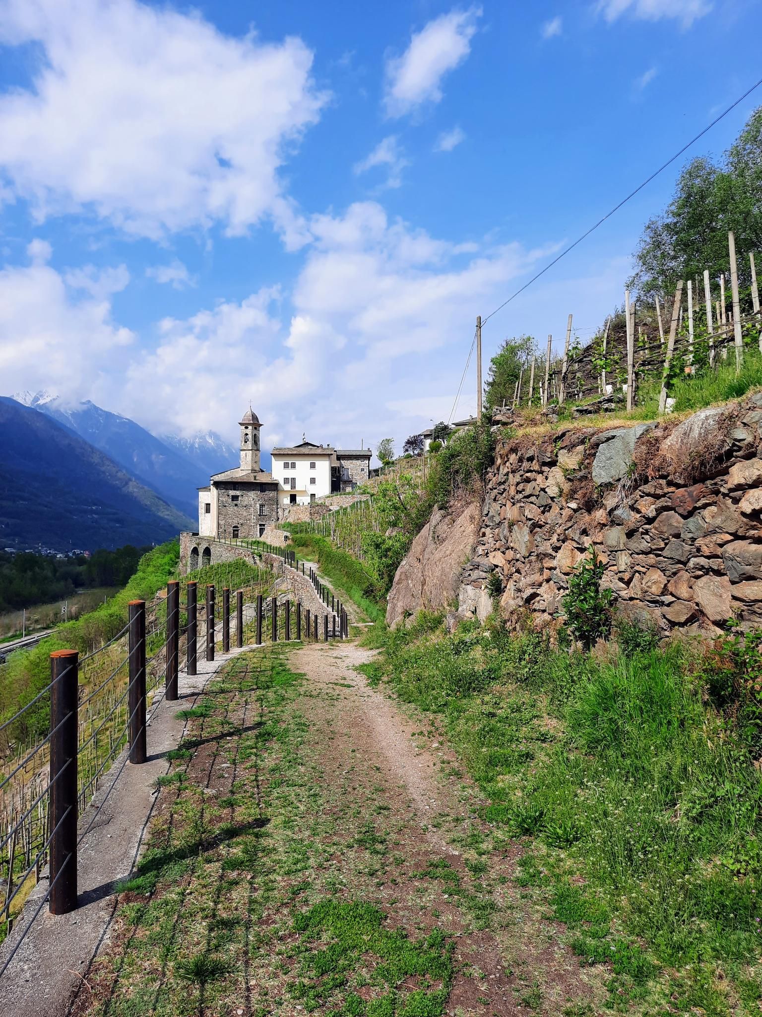
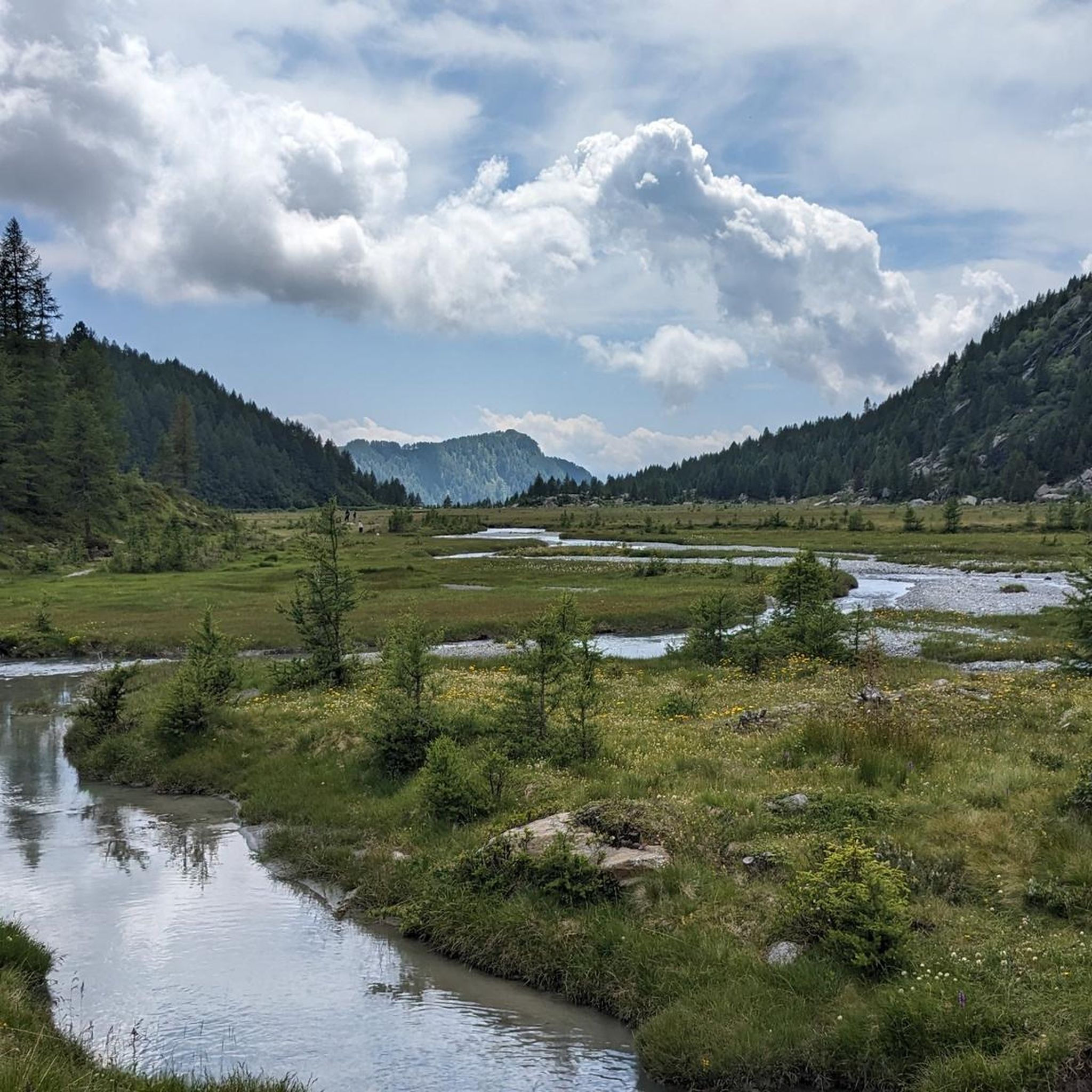
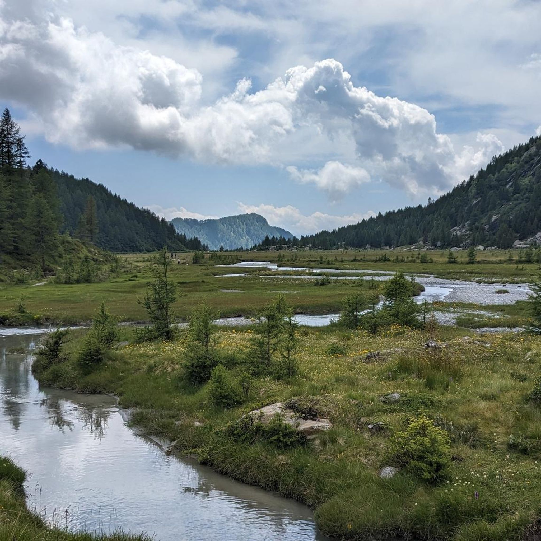
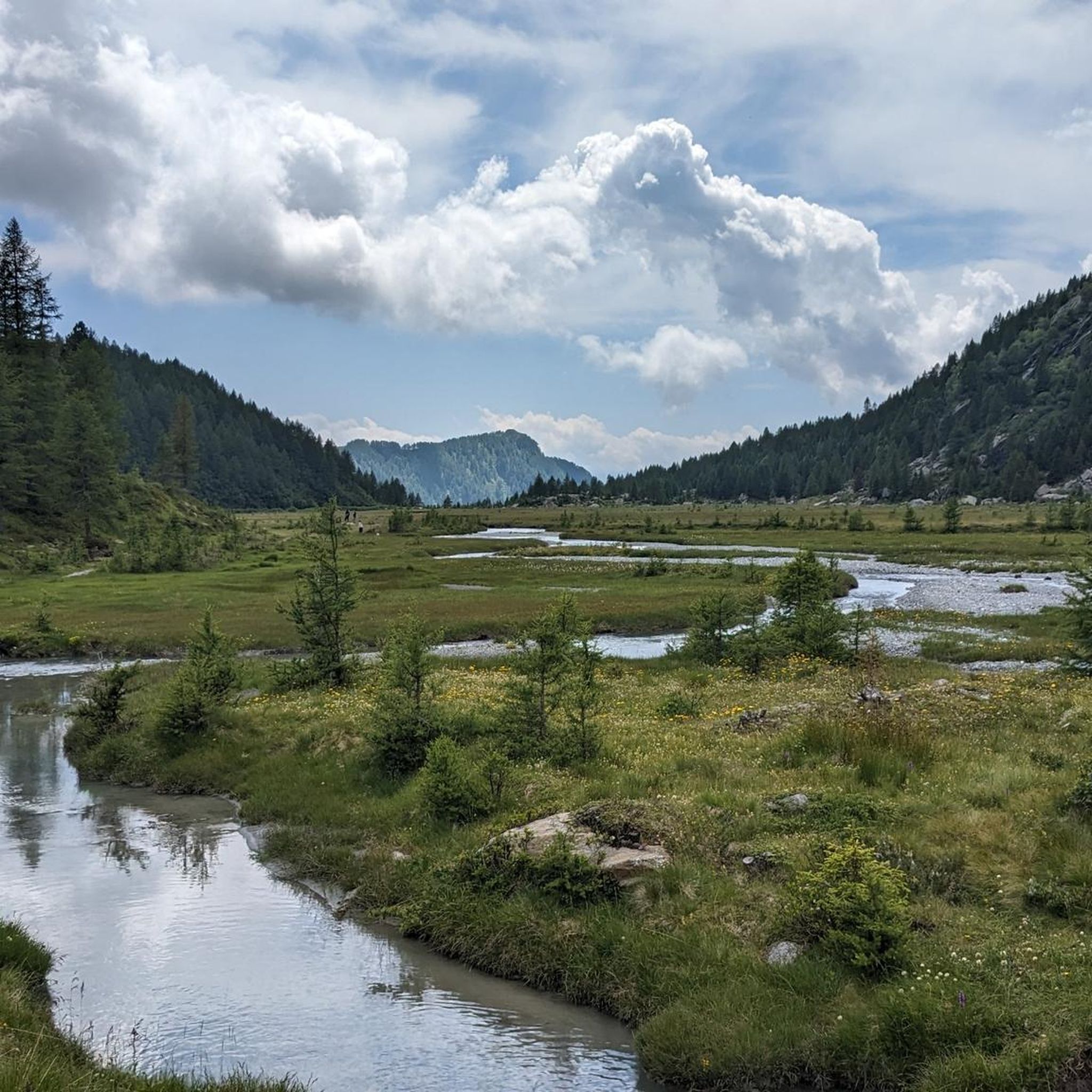
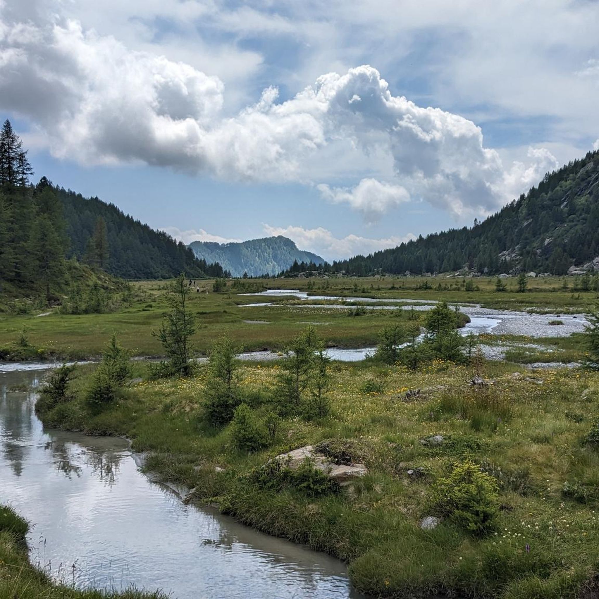

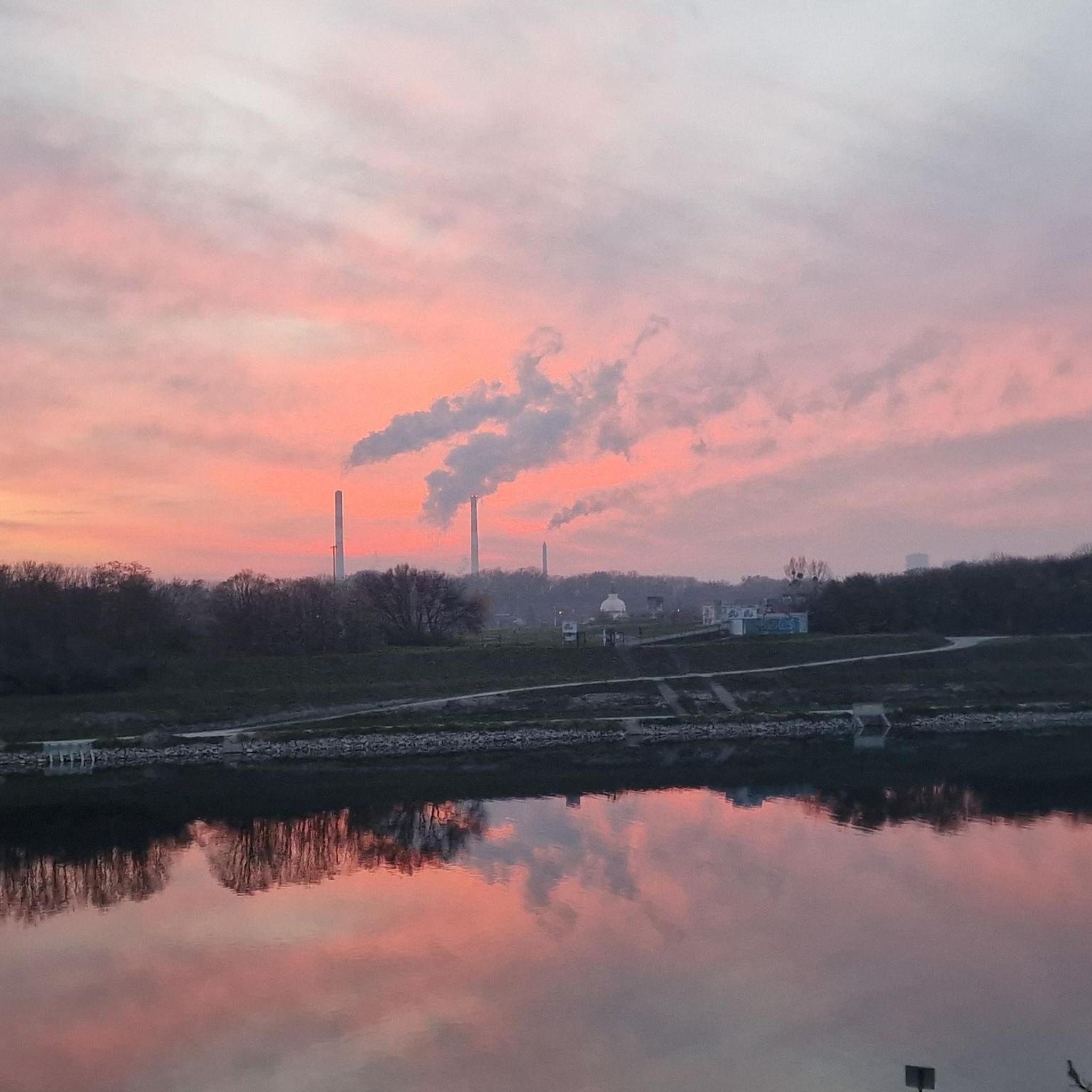
Other adventures around Buglio In Monte

Tips from the Community

Morteratsch glacier reached its greatest extent in 1857 AD (after the Little Ice Age 13th/14th century - 19th century) up to 100m from the RhB stop, since then a constant retreat. However, as a tree find from 2018 (C4 + Dendrochronology) of a 10400 year old larch shows, that the glacier after the last ice age, (Pleistocene 20000-14000) at the beginning of the Holocene approx. 10000 years ago, the glacier retreated even further than today. Minimum was around 7000 years ago. Then the glacier grew again until max. 1857. The beginning of measurements was from 1915, since then it has continuously retreated. (around 20000 years ago it had connection to the Bernina and Inn glaciers, around 14000 years ago it reached Pontresina and in 1857 almost to the Rhb Morteratsch stop.
0
0

Beautiful village of Val Masino, with historic thermal baths.
2
0

Both from the Morteratsch valley and from Montebello, you can enjoy a magnificent view of glaciers and the Bernina massif.
0
0

Ideal for families, where you can have a picnic, the parking cost is €8 for the whole day
1
0

Morteratsch Glacier Trail 16 information points provide insights into the glacier's retreat and the mysterious life in its foreland. Where else can you admire, touch, and even walk on eternal ice after such a short hike? Just under 50 minutes from Morteratsch train station, you'll reach your destination: the milky glacial lake and the gigantic ice tongue. A literary treat awaits you on the LiteraTOUR. The captivating audio texts can be accessed individually via QR code at the 16 information points along the Morteratsch Glacier Trail. The stories include anecdotes, poems, and tour reports from various eras. Text / Source: Engadin Tourism AG, Via Maistra 1, 7500 St. Moritz https://www.engadin.ch/de/aktivitaeten/gletscherweg-morteratsch/
14
0
Morteratsch Glacier The Morteratsch Glacier is a historically significant glacier that has been systematically monitored since 1878. Over the last 150 years, the glacier has retreated by almost three kilometers, and its ice volume has decreased by two-thirds. The Bernina Railway, which began operating in 1908, was then located just a stone's throw from the glacier's terminus. Since then, the glacier has retreated considerably, and the movement of its surroundings is no longer visible. Text / Source: wikipedia.org https://de.wikipedia.org/wiki/Morteratschgletscher
14
0

The bridge contains cobblestones and is quite steep, so enjoy the challenge!
0
0
Lago di Poschiavo / Puschlav Lake The Lago di Poschiavo, or Puschlav Lake in German, is located in the southern Graubünden municipality of Poschiavo/Puschlav. The natural reservoir is 962 meters above sea level. The lake is approximately 2.5 km long in a north/south direction and one kilometer wide. The Poschiavino river is both an inflow and outflow of the lake, which is up to 80 m deep at most. The Rhaetian Railway line runs along the western shore towards Brusio and Tirano in Italy. The village center of Poschiavo is about five kilometers north of the Puschlav Lake. On the lake itself are the villages of Miralago in the south and Le Prese in the north end. Both villages have Rhaetian Railway stops. The approximately seven-kilometer circular route around the Lago di Poschiavo can be completed in just under two hours. Since 2016, the "Sassalbo" has been a rentable boat on Lake Poschiavo. It is considered the largest passenger ship in the canton of Graubünden. Text / Source: schweizersee.ch https://www.schweizersee.ch/lago_di_poschiavo/
15
0
Frequently Asked Questions
How many road cycling routes are available around Buglio In Monte?
There are nearly 40 road cycling routes in the Buglio In Monte area, offering a diverse range of options for riders. These include routes along the Adda River valley and into the surrounding Rhaetian Alps.
Are there easy road cycling routes suitable for beginners or families in Buglio In Monte?
Yes, Buglio In Monte offers several easier routes. For a less strenuous option, consider the Ponte di Ganda – Valtellina Cycle Path loop from Ardenno-Masino, which is a moderate 22.7 miles (36.5 km) path along the dedicated Valtellina Cycle Path.
What are some challenging road bike climbs in the Buglio In Monte region?
For advanced riders seeking a challenge, the region offers significant ascents. The Lake Mezzola – Bernina Pass loop from San Pietro Berbenno is a difficult 120.3 miles (193.6 km) route with substantial elevation gain and panoramic views.
Are there any long-distance road cycling routes in Buglio In Monte?
Absolutely. The Lake Mezzola – Bernina Pass loop from San Pietro Berbenno is a notable long-distance option, covering 120.3 miles (193.6 km) and taking approximately 9 hours 37 minutes to complete.
What kind of scenery can I expect on road cycling routes around Buglio In Monte?
Road cyclists can expect a mix of scenic viewpoints. Routes often feature the Adda River valley, views of Lake Mezzola, and the majestic Rhaetian Alps. The Lake Mezzola – Bernina Pass loop, for instance, offers panoramic vistas of Lake Mezzola and the Bernina Pass.
Are there loop road cycling routes available in Buglio In Monte?
Yes, many routes in the area are designed as loops. Examples include the Ponte di Ganda – Valtellina Cycle Path loop from Ardenno-Masino and the Via Inferno Climb – Valtellina Cycle Path loop from San Pietro Berbenno.
What do other road cyclists say about the routes in Buglio In Monte?
The road cycling routes in Buglio In Monte are highly rated by the komoot community, with an average score of 4.6 stars from over 90 reviews. Riders often praise the varied terrain, from gentle valley paths to challenging alpine climbs, and the beautiful scenery.
What are some interesting landmarks or natural attractions to see near the road cycling routes?
Along or near the routes, you can explore natural attractions such as the Val di Mello Nature Reserve, the Mello Stream, and the Qualido Pond. The Ganda Bridge in Morbegno is also a notable point of interest.
Are there routes that combine valley riding with some climbing?
Yes, many routes offer a mix of terrain. The Via Inferno Climb – Valtellina Cycle Path loop from San Pietro Berbenno is a great example, leading through the Valtellina valley and incorporating a significant climb.
How varied is the terrain for road cycling in Buglio In Monte?
The terrain is quite diverse, ranging from flat sections along the Adda River and dedicated cycle paths in the Valtellina valley to challenging ascents into the surrounding Rhaetian Alps. This variety caters to different skill levels and preferences.
Can I find moderate difficulty road cycling routes in Buglio In Monte?
Yes, the majority of routes in Buglio In Monte are of moderate difficulty. For instance, the Ponte di Ganda – Valtellina Trail loop from Ardenno-Masino is a moderate 22.8 miles (36.7 km) route that offers a balanced ride.
What is a good route for exploring the local area around San Pietro Berbenno?
The Piazza Garibaldi, Sondrio – Parco Bartesaghi loop from San Pietro Berbenno is a moderate 21.1 miles (33.9 km) route that allows you to explore the local surroundings, including parts of Sondrio.
Most popular routes around Buglio In Monte
Most popular attractions around Buglio In Monte

Get inspired with the komoot mobile app


Explore more
Browse the best Road cycling routes in other regions.
