The best walks and hikes around Buglio In Monte
4.5
(3705)
23,491
hikers
524
hikes
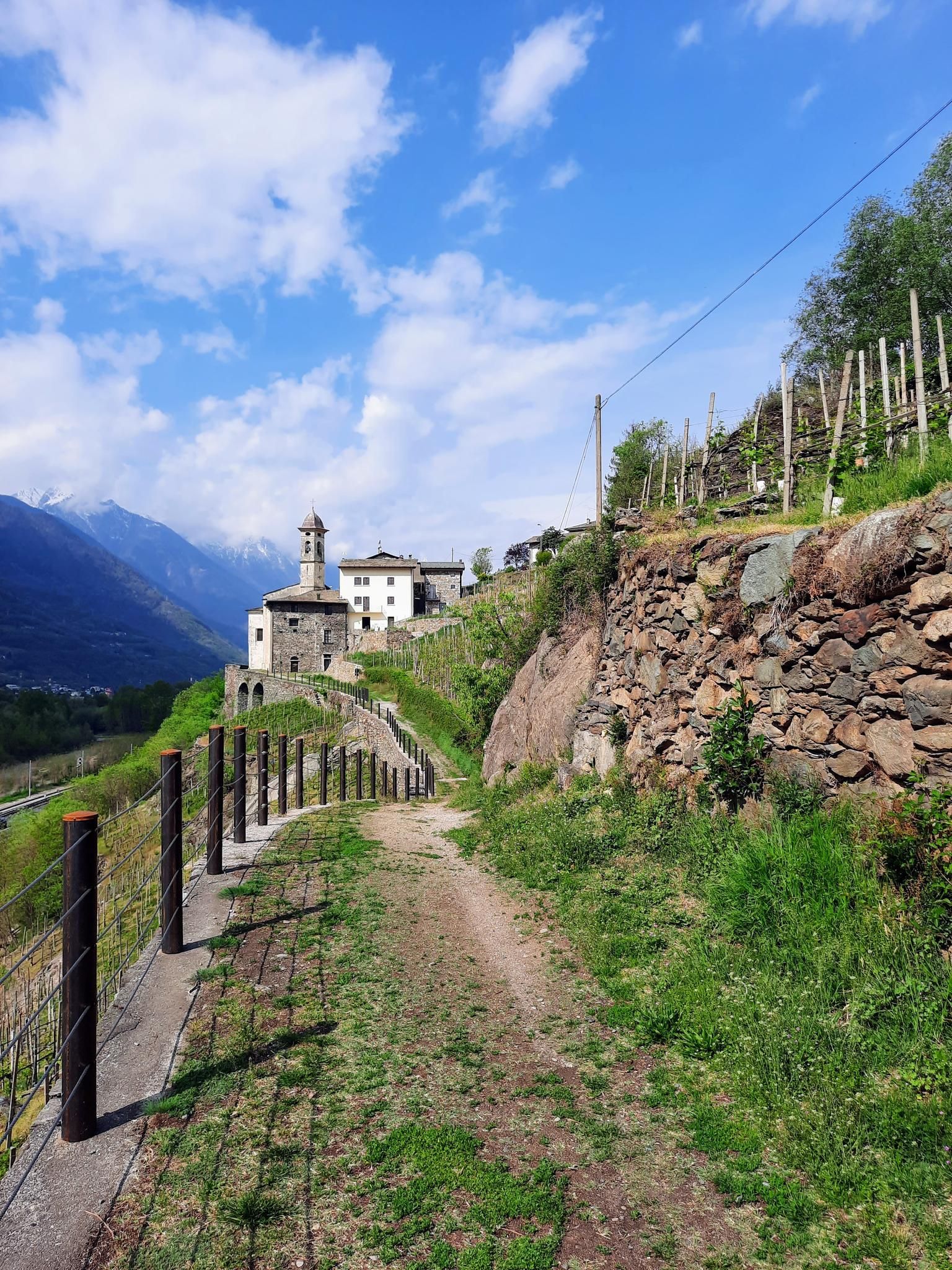
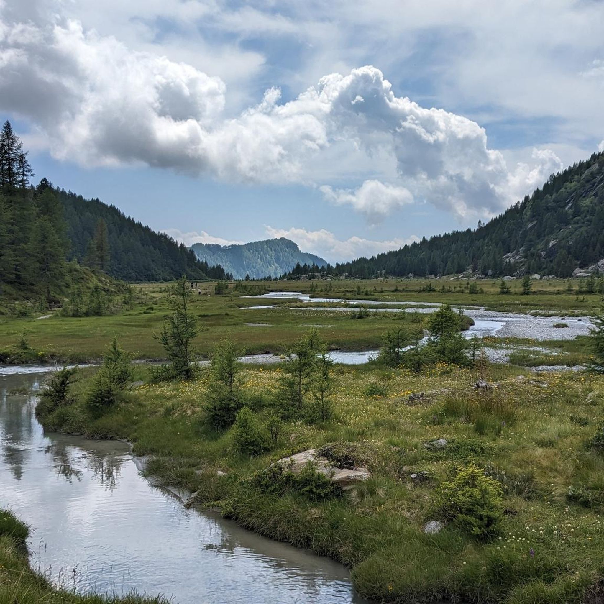
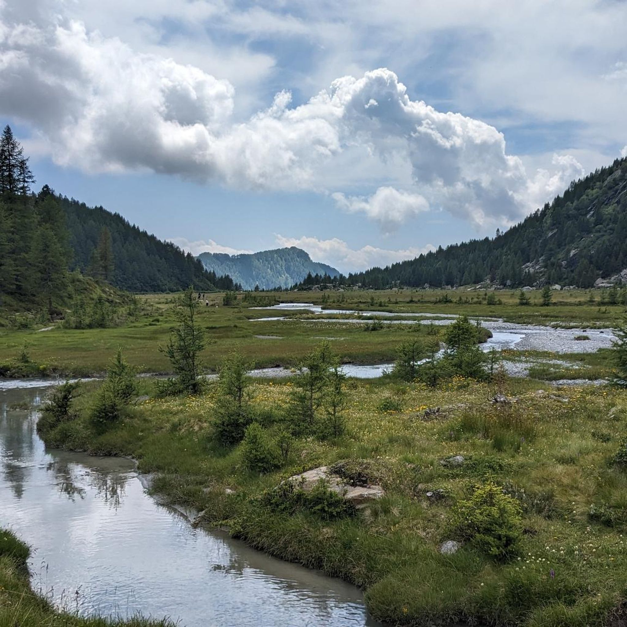
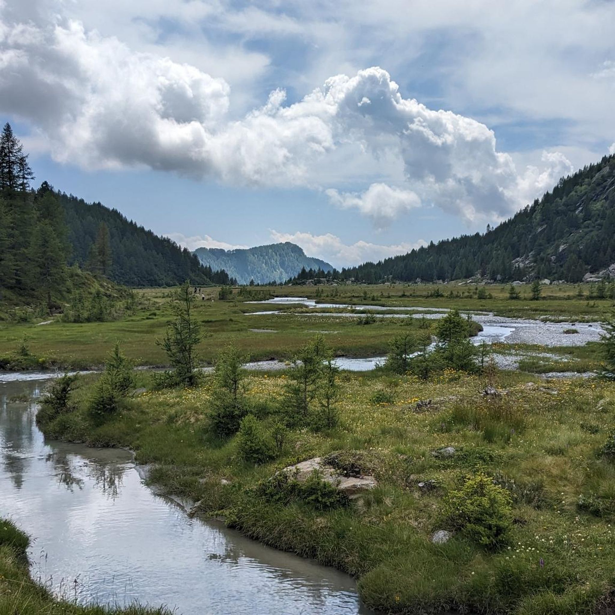
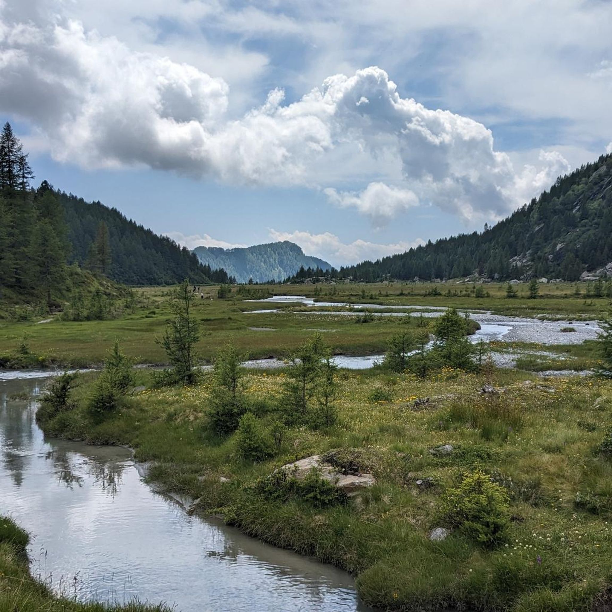
Hiking around Buglio In Monte offers a diverse landscape, ranging from terraced vineyards and abundant meadows to high alpine terrain. The municipal territory spans from 268 meters to the 3,678-meter summit of Monte Disgrazia, providing a wide range of elevations for exploration. The region is characterized by impressive peaks, significant mountain pastures, granite ridges, and alpine lakes, offering varied environments for hiking.
Best hiking trails around Buglio In Monte
- The most popular hiking route is Sentiero Italia CAI from Bivacco Scermendone to Alpe Piano di Spini, a 9.8 miles (15.7 km) trail that takes 7 hours 26 minutes to complete. This difficult route features granite ridges and alpine lakes.
- Another top favourite among local hikers is Alpe Granda Hut – Alpe Granda loop from Buglio in Monte, a difficult 12.1 miles (19.5 km) path. This trail explores the historic Alpe Granda mountain pasture, offering views of surrounding peaks.
- Local hikers also love the Alpe Merla – Fonte di Occ loop from Buglio in Monte, a 6.2 miles (9.96 km) trail leading through varied terrain, often completed in about 4 hours 19 minutes.
- Hiking around Buglio In Monte is defined by terraced vineyards, high alpine terrain, and mountain pastures. The network offers options for various ability levels, from moderate paths to challenging high-altitude treks.
- The routes in Buglio In Monte are highly rated by the komoot community with an average score of 4.5 stars from over 3,900 reviews. More than 23,000 hikers have used komoot to explore Buglio In Monte's varied terrain.
Last updated: July 22, 2026
5.0
(3)
19
hikers
10.8km
05:28
930m
920m
Hike the challenging 6.7-mile Sentiero Italia D20N from Filorera to Bivacco Scermendone, gaining 3038 feet for panoramic Orobie views.
2.0
(2)
12
hikers
7.04km
02:11
250m
250m
Forest trail through historic chestnut groves to alpine pastures with Bernina views and centuries-old trees.

Sign up for free
4.0
(1)
5
hikers
15.7km
07:26
1,160m
1,160m
High-altitude traverse along granite ridges with alpine lakes and historic stone shelters.
7.96km
05:11
790m
780m
Stage five of the legendary Sentiero Roma crosses granite slabs with chains and alpine views.
4.7
(58)
538
hikers
8.57km
03:57
590m
590m
Moderate hike. Good fitness required. Mostly accessible paths. Sure-footedness required.
Get access to more routes and recommendations from other explorers.
Sign up for free
Already have an account?
Our route recommendations are based on thousands of hikes, rides, and runs completed by other people on komoot.
Start today with a free account
Your next adventure awaits.
Login or Signup
Popular around Buglio In Monte


Other adventures around Buglio In Monte

Tips from the Community

Perfect for a flat hike in the valley
0
0

Historic pass, now become a tourist attraction thanks to the built path.
0
0

A pass with a magnificent view of the Valmalenco valley and Berbenno. It's quite technical, but the view is worth it. From the Rifugio Bosio, it's 2.7 km and a whopping 480 meters of elevation gain, so... you need to get your legs moving.
0
0

Legendary refuge at the foot of Mount Disgrazia. It is located along the Roma trail and is a passage point of the Kima Trophy. In short, an exceptional place for mountain lovers.
3
0

Path in the thick forest on the north side, in winter it is best to pay attention
0
0

Good starting point to reach Monte Disgrazia.
0
0

If you want to get to the lake.... you have to "rock" the bike.... and a lot. 🚵
0
0

Refuge stop on the Sentiero Roma or reachable from the Preda Rossa plain (toll road). Excellent location both for the view and for the streets that start from here
0
0
Frequently Asked Questions
What types of hiking trails can I expect in Buglio In Monte?
Buglio In Monte offers a diverse range of hiking trails, from paths through terraced vineyards and lush meadows to challenging high alpine terrain. The region's landscape varies significantly, with elevations spanning from 268 meters to the 3,678-meter summit of Monte Disgrazia, ensuring a wide variety of environments for exploration.
Are there any easy hiking trails suitable for beginners in Buglio In Monte?
While many trails in Buglio In Monte are moderate to difficult, there is at least one easy route available. The region's diverse landscape means that even less experienced hikers can find enjoyable paths, particularly in the lower elevations and vineyard areas, though specific easy routes are less common than more challenging ones.
What are some notable natural attractions or landmarks to see while hiking in Buglio In Monte?
Hikers in Buglio In Monte can discover several impressive natural formations and landmarks. The Val di Mello Nature Reserve is renowned for its wonderful granite walls. You might also encounter significant mountain passes like Muretto Pass, offering breathtaking views. The Piani di Fora plateau, near the Eli Longoni Hut, is known for its impressive beauty and numerous waterfalls.
Are there any circular hiking routes in Buglio In Monte?
Yes, Buglio In Monte features several circular hiking routes. A popular option is the Alpe Merla – Fonte di Occ loop from Buglio in Monte, a moderate 9.96 km trail that takes about 4 hours 19 minutes to complete. Another challenging circular route is the Alpe Granda Hut – Alpe Granda loop from Buglio in Monte, which explores the historic Alpe Granda mountain pasture.
What is the best time of year to go hiking in Buglio In Monte?
Buglio In Monte, often called the 'garden of Valtellina,' benefits from a mild winter climate, making it suitable for hiking across a longer season. However, for high alpine treks and to fully enjoy the mountain pastures, late spring through early autumn (May to October) generally offers the most favorable weather conditions. Always check local weather forecasts before heading out.
Are there mountain huts or refuges available for multi-day hikes in Buglio In Monte?
Yes, the hiking network in Buglio In Monte is well-supported by several huts and bivouacs, which are essential for multi-day treks. Notable options include the Eli Longoni Hut, praised for its dreamlike location and views of Monte Disgrazia, and the Alpe Granda Refuge. Other significant stops along longer routes like the Sentiero Roma include Rifugio Bosio and Rifugio Ponti.
What are some challenging high-altitude treks in the Buglio In Monte area?
For experienced hikers seeking a challenge, Buglio In Monte offers demanding high-altitude treks. The Sentiero Italia CAI from Bivacco Scermendone to Alpe Piano di Spini is a difficult 15.7 km route featuring granite ridges and alpine lakes. The renowned Sentiero Roma, a 55 km trek predominantly at 2500 meters, also passes through the area, leading over numerous passes and connecting mountain huts.
Can I find trails that offer views of terraced vineyards in Buglio In Monte?
Absolutely. Buglio In Monte is known for its terraced vineyards, particularly along the southern slopes of the Adda Valley. The Via dei Terrazzamenti is a picturesque wine hiking trail that winds through these centuries-old vineyards, offering unique cultural and scenic experiences.
What do other hikers say about the trails in Buglio In Monte?
The hiking trails in Buglio In Monte are highly regarded by the komoot community, with an average rating of 4.5 stars from over 3,900 reviews. Hikers often praise the diverse landscape, ranging from terraced vineyards to high alpine terrain, and the spectacular panoramas. Many appreciate the well-maintained paths and the variety of routes available for different skill levels.
Are there any historical or cultural points of interest along the hiking routes?
Beyond natural beauty, Buglio In Monte offers a glimpse into local history and culture. You can find historic stone shelters along trails like the Sentiero Italia CAI. The region also features ancient churches, such as the 13th-century Church of San Sisto with its 15th-century frescoes, and the Church of Saints Fedele and Gerolamo, dating back to the 1400s.
Are there any routes that lead to significant mountain pastures?
Yes, exploring mountain pastures is a highlight of hiking in Buglio In Monte. The Alpe Granda Hut – Alpe Granda loop from Buglio in Monte is a difficult 19.5 km path that specifically explores the historic Alpe Granda mountain pasture, offering breathtaking views. Alpe Scermendone is another large, high-altitude alpine pasture known for its panoramic interest.
How many hiking trails are available in Buglio In Monte?
There are over 10 hiking trails available for exploration in Buglio In Monte. These routes cater to various preferences and experience levels, ranging from moderate paths to challenging high-altitude treks.
Most popular routes around Buglio In Monte
Most popular attractions around Buglio In Monte

Get inspired with the komoot mobile app


Explore more
Browse the best Hikes in other regions.
