The best walks and hikes around Marcheno
4.5
(544)
3,555
hikers
36
hikes
Hiking around Marcheno offers access to a diverse pre-Alpine environment within Val Trompia, characterized by the Mella river and surrounding mountains. The terrain features pine forests, pastures, and valleys such as Vandeno, providing varied landscapes for exploration. Trails often lead towards prominent features like Mount Guglielmo, offering significant elevation changes. The region's natural composition supports a wide range of outdoor activities.
Best hiking trails around Marcheno
- The most popular hiking route is From Piani di Caregno to Malga Stalletti Bassi…
Last updated: July 7, 2026
4.3
(3)
30
hikers
7.77km
03:08
530m
530m
Moderate hike. Good fitness required. Mostly accessible paths. Sure-footedness required.
2
hikers
16.1km
05:33
770m
770m
Hard hike. Very good fitness required. Mostly accessible paths. Sure-footedness required.

Sign up for free
1
hikers
8.00km
02:42
400m
400m
Moderate hike. Good fitness required. Easily-accessible paths. Suitable for all skill levels.
4.5
(97)
631
hikers
12.6km
05:26
920m
920m
Hard hike. Very good fitness required. Mostly accessible paths. Sure-footedness required.
4.5
(33)
204
hikers
10.6km
03:24
420m
420m
Moderate hike. Good fitness required. Easily-accessible paths. Suitable for all skill levels.
Get access to more routes and recommendations from other explorers.
Sign up for free
Already have an account?
Our route recommendations are based on thousands of hikes, rides, and runs completed by other people on komoot.
Start today with a free account
Your next adventure awaits.
Login or Signup
Popular around Marcheno
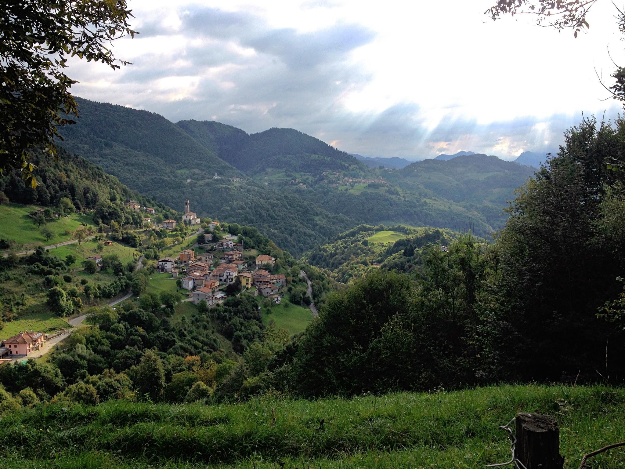
Far from the asphalt – the slopes of the middle Trompia Valley
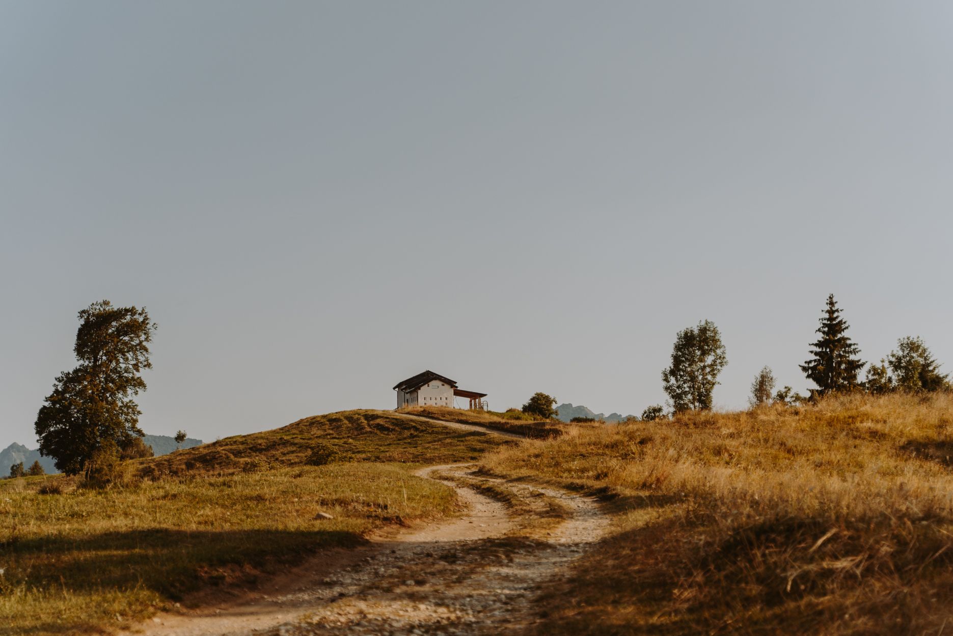
Superb descents and old huts – Italy’s upper Trompia Valley by MTB
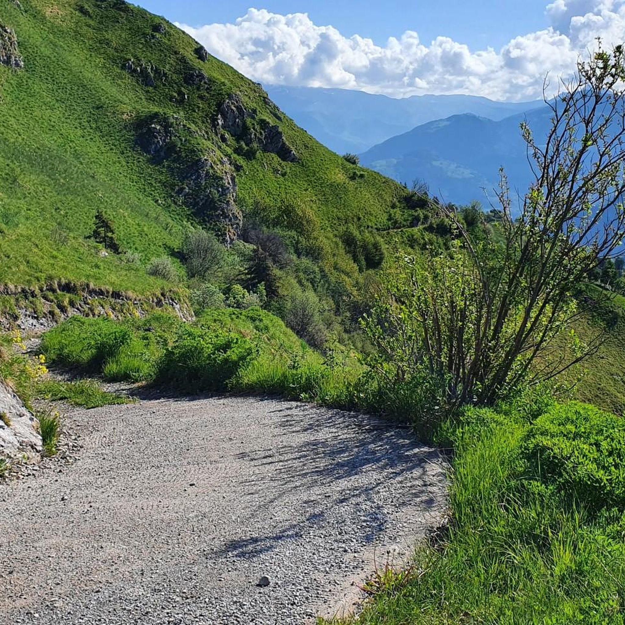
MTB Trails around Marcheno
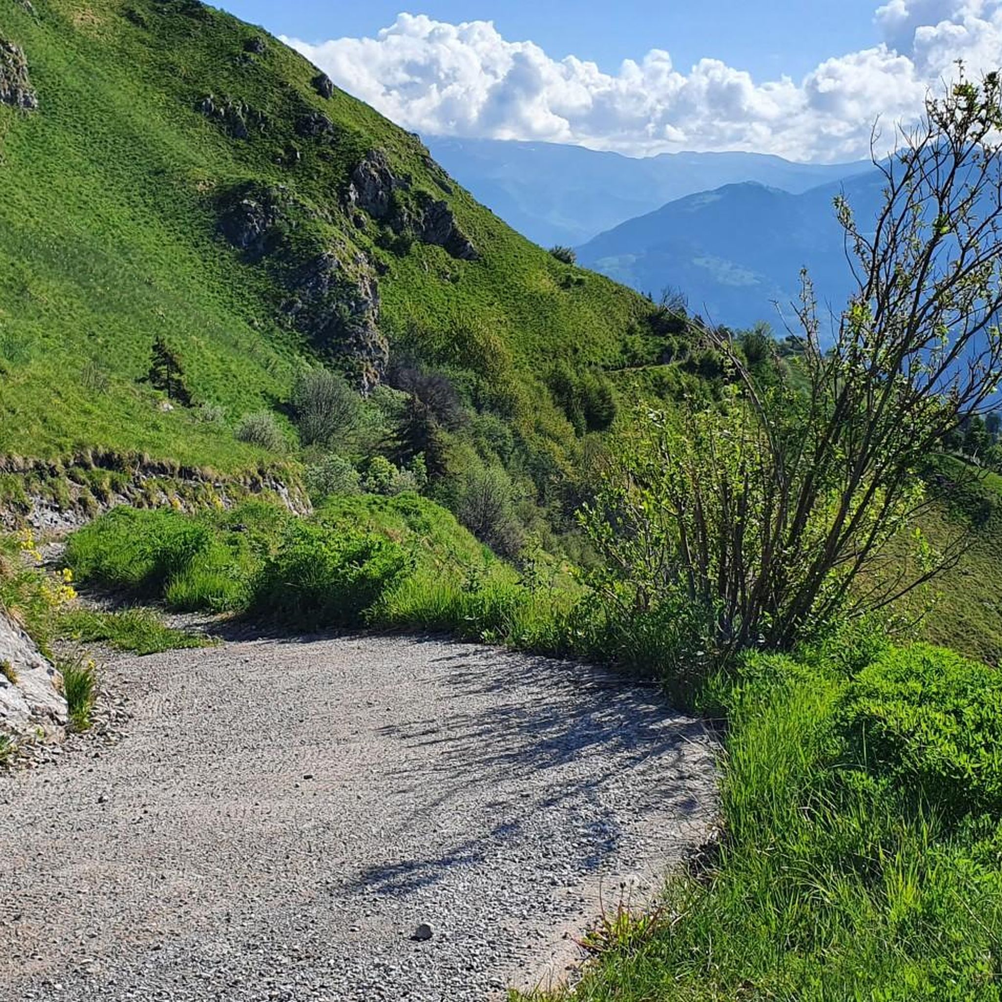
Road Cycling Routes around Marcheno
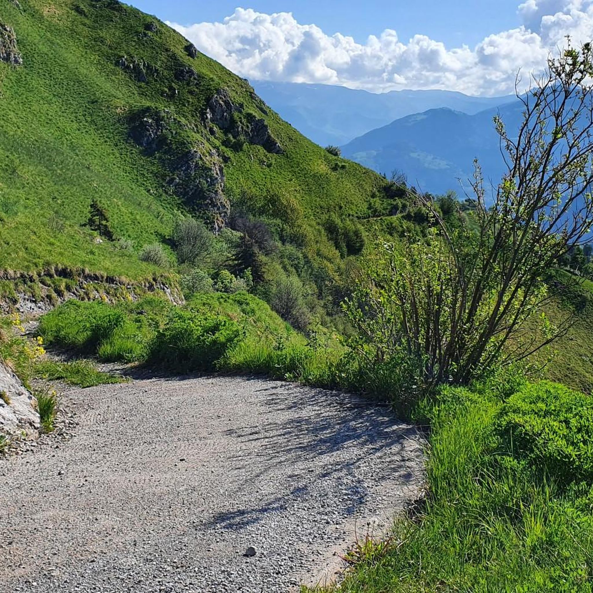
Cycling around Marcheno
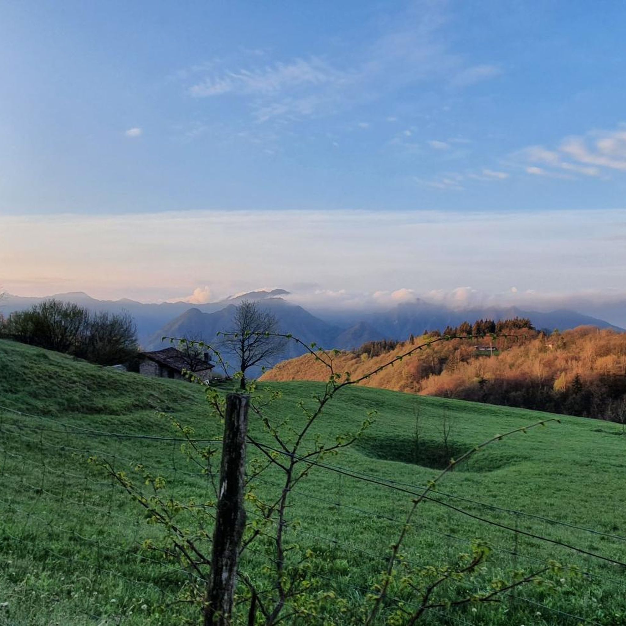
Running Trails around Marcheno

Gravel biking around Marcheno
Mountain Hikes around Marcheno

Tips from the Community

Watch out for electrified livestock fences located right on the trail.
0
0

Strategic and necessary position for a stop while climbing from Cimmo or Pezzoro
0
0

The Rifugio Croce di Marone is located at 1,166 m on the southern slope of Monte Guglielmo, above Marone, and is one of the most convenient and frequented starting points for climbing the Guglielmo. 🏔️ Hut identity and location The refuge is located in the Croce di Marone area, reachable via the road that climbs from Marone → Cislano → Madonna della Rota, crossing the Valle dell’Opol. It is situated in a panoramic and strategic point for: Monte Guglielmo (1948 m) – classic and very frequented ascent Malga Guglielmo di Sotto and di Sopra Rifugio Almici Piani di Caregno The refuge is open all year round, has a restaurant, electric light, hot water, and about 15 beds. 🚗 How to get there By car from Marone Follow the signs for Zone. After about 4.5 km, past the cable car underpasses, you will find a sharp right turn with a sign for the refuge. The road becomes narrow and steep in the final kilometers. Paid parking with scratch card (3 € up to 4 hours, 5 € for longer). On foot from Zone (Englar) You can leave your car at the Englar restaurant (640 m). Ascent along the road/CAI 226 trail → approx. 1h20’–1h50’ depending on whether you cut corners. 🚶♂️ Main excursions from the refuge 1. Monte Guglielmo (E – approx. 2h) This is the shortest and most direct route to reach the summit of Guglielmo: Initial mule track Junction for Malpensata Section with white-blue 3V trail markers Malga Guglielmo di Sotto → Malga di Sopra Rifugio Almici → summit with the Monument to the Redeemer The panorama over the Sebino and the Prealps is considered one of the most beautiful in the area. 2. Rifugio Almici (1861 m) – 2h Simple and panoramic route along the mule track. 3. Piani di Caregno – 3h30’ Longer but very scenic route. 🏞️ Environment and atmosphere The area is characterized by: beech and fir woods open pastures views of Lake Iseo and Val Trompia presence of the 3V trail nearby It is an ideal spot for short excursions, longer treks, or family days out.
0
0
The monument is located at the Croce di Marone pass (approx. 1167 m), a historic crossing point between Lake Iseo and Val Trompia. It is situated next to the parking area and at the start of the road/mule track that climbs towards Malpensata and Monte Guglielmo.
0
0
Panorama from Monte Guglielmo
0
0

on clear days you can see the Garda spot
0
0

Lake Iseo, located between the provinces of Bergamo and Brescia, is one of the most fascinating pre-Alpine lakes in Lombardy. With a surface area of about 65 square kilometers and an altitude of 185 meters above sea level, it is known for its natural beauty and the picturesque villages that surround it. In the center of the lake is Montisola, the largest lake island in Europe, which is one of the main tourist attractions. The shores of the lake are characterized by enchanting views, with mountains reflected in its waters and picturesque villages such as Lovere, Sarnico and Iseo, each rich in history and culture. The main activities include boat trips, trekking along the scenic paths that border the lake and discovering the cellars of Franciacorta, famous for the production of quality sparkling wines. Lake Iseo offers a unique mix of nature, sports, culture and gastronomy, making it a perfect destination for all types of visitors.
0
0

Just north of the 1,476-meter peak of Monte Bifo, this crossroads of trails allows you to continue towards Monte Guglielmo and the Almici refuge, or continue towards Passo Lividino. The view of the surrounding mountains is remarkable.
0
0
Frequently Asked Questions
How many hiking trails are available around Marcheno?
Marcheno and the surrounding Val Trompia offer a wide selection of routes, with over 30 hiking trails mapped on komoot. These range from easy walks to more challenging mountain ascents, catering to various skill levels.
Are there easy or beginner-friendly hiking routes in Marcheno?
Yes, Marcheno has options suitable for beginners. While many routes are moderate to difficult, there are at least 2 easy trails available. These typically feature less elevation gain and shorter distances, perfect for those new to hiking or looking for a relaxed stroll.
What kind of terrain can I expect on hikes around Marcheno?
The terrain around Marcheno is characteristic of a pre-Alpine environment. You'll encounter diverse landscapes including dense pine forests, open mountain pastures, and valleys carved by rivers like the Mella. Trails can vary from well-trodden paths to steeper, rocky sections, especially on routes leading towards peaks like Mount Guglielmo.
Are there any circular hiking routes near Marcheno?
Yes, there are several circular routes available. For example, the difficult route Monte Bifo Trail Junction – View of Lake Iseo loop from Marcheno offers a challenging loop with significant elevation gain and views towards Lake Iseo. Another demanding option is the Malga Pontodena – View of Lake Iseo loop from Marcheno, also providing panoramic vistas.
What natural attractions or landmarks can I see while hiking near Marcheno?
The region boasts several natural highlights. You can explore gorges and waterfalls, such as the Monticelli Brusati Waterfall or the Pisot Waterfall. The area also features impressive mountain passes like Sella dell'Oca Pass and San Fermo Pass (La Bratta), offering scenic viewpoints and challenging ascents.
What is the best time of year to go hiking in Marcheno?
The best time for hiking in Marcheno is generally from spring through autumn. During these seasons, the weather is milder, and the trails are more accessible. Spring brings lush greenery, while autumn offers vibrant foliage. Winter hiking is possible but may require specialized gear due to snow and ice, especially at higher elevations.
Are there options for longer, more challenging hikes in the Marcheno area?
Absolutely. Marcheno serves as a starting point for more demanding routes, including long-distance hikes and treks. Trails like From Marcheno to Cima del Tù (via CAI Trail 317) involve substantial elevation gain and cover significant distances, ideal for experienced hikers seeking a challenge. The region's extensive network, including paths towards Mount Guglielmo, offers plenty of opportunities for multi-day adventures.
Are there mountain refuges available for hikers in Val Trompia?
Yes, the Val Trompia region, where Marcheno is located, provides several mountain refuges. These include the Piardi Refuge, CAI Val Trompia Refuge, and Almici Refuge. They serve as important rest stops, offering opportunities for meals, refreshments, and even overnight stays, especially useful for longer treks.
What do other hikers say about the trails in Marcheno?
The hiking routes in Marcheno are highly rated by the komoot community, with an average score of 4.5 stars from over 500 reviews. Hikers often praise the diverse pre-Alpine environment, the well-maintained trails, and the rewarding views from higher elevations. The variety of routes, from moderate forest walks to challenging mountain climbs, is also frequently highlighted.
Are there any historical paths or cultural sites to explore while hiking?
Yes, the region offers trails with historical significance. You can explore ancient routes like the Valerian road, now known as Via Madonnina, which leads to the Sanctuary of Madonnina. The broader Val Trompia also features a traditional 'Iron and Mine Route,' providing insights into the area's industrial heritage while enjoying the natural landscape.
Where can I find parking for hiking trails around Marcheno?
Many trailheads in and around Marcheno, especially those starting from villages or popular access points like the Caregno plateau, typically have designated parking areas. It's advisable to check specific route descriptions on komoot for details on parking availability at the start of your chosen hike.
Is it possible to access hiking trails in Marcheno using public transport?
While Marcheno is a mountain municipality, public transport options exist to reach the area. However, direct access to specific trailheads via public transport might be limited. For detailed information on bus schedules and routes within Val Trompia, it's recommended to consult local transport services or the official Val Trompia tourism website: visitvalletrompia.it.
Most popular routes around Marcheno
Most popular attractions around Marcheno

Get inspired with the komoot mobile app


Explore more
Browse the best Hikes in other regions.
