The best traffic-free bike rides around Marcheno
3.9
(84)
657
riders
12
rides
No traffic gravel bike trails around Marcheno are found within the Val Trompia, a pre-Alpine region characterized by mountains, valleys, and the Mella River. The landscape offers a mix of terrains, from river paths to challenging mountain ascents. Gravel bikers can explore extensive networks that include both paved and unpaved sections, providing diverse riding experiences. The area features natural elements such as the Caregno Plateau and routes leading towards Mount Guglielmo.
Best no traffic gravel bike trails around Marcheno
- The…
Last updated: October 3, 2026
4.5
(11)
92
riders
43.2km
03:57
1,820m
1,820m
Hard gravel ride. Very good fitness required. Mostly paved surfaces. Suitable for all skill levels.
3.3
(3)
28
riders
Hard gravel ride. Very good fitness required. Mostly paved surfaces. Suitable for all skill levels.

4.3
(3)
18
riders
Moderate gravel ride. Good fitness required. Mostly paved surfaces. Suitable for all skill levels.
4.4
(7)
106
riders
85.3km
05:44
1,130m
1,130m
Hard gravel ride. Very good fitness required. Mostly paved surfaces. Suitable for all skill levels.
4.7
(3)
10
riders
47.1km
03:36
1,390m
1,390m
Hard gravel ride. Very good fitness required. Mostly paved surfaces. Suitable for all skill levels.
Get access to more routes and recommendations from other explorers.
Already have an account?
Our route recommendations are based on thousands of hikes, rides, and runs completed by other people on komoot.
Start today with a free account
Your next adventure awaits.
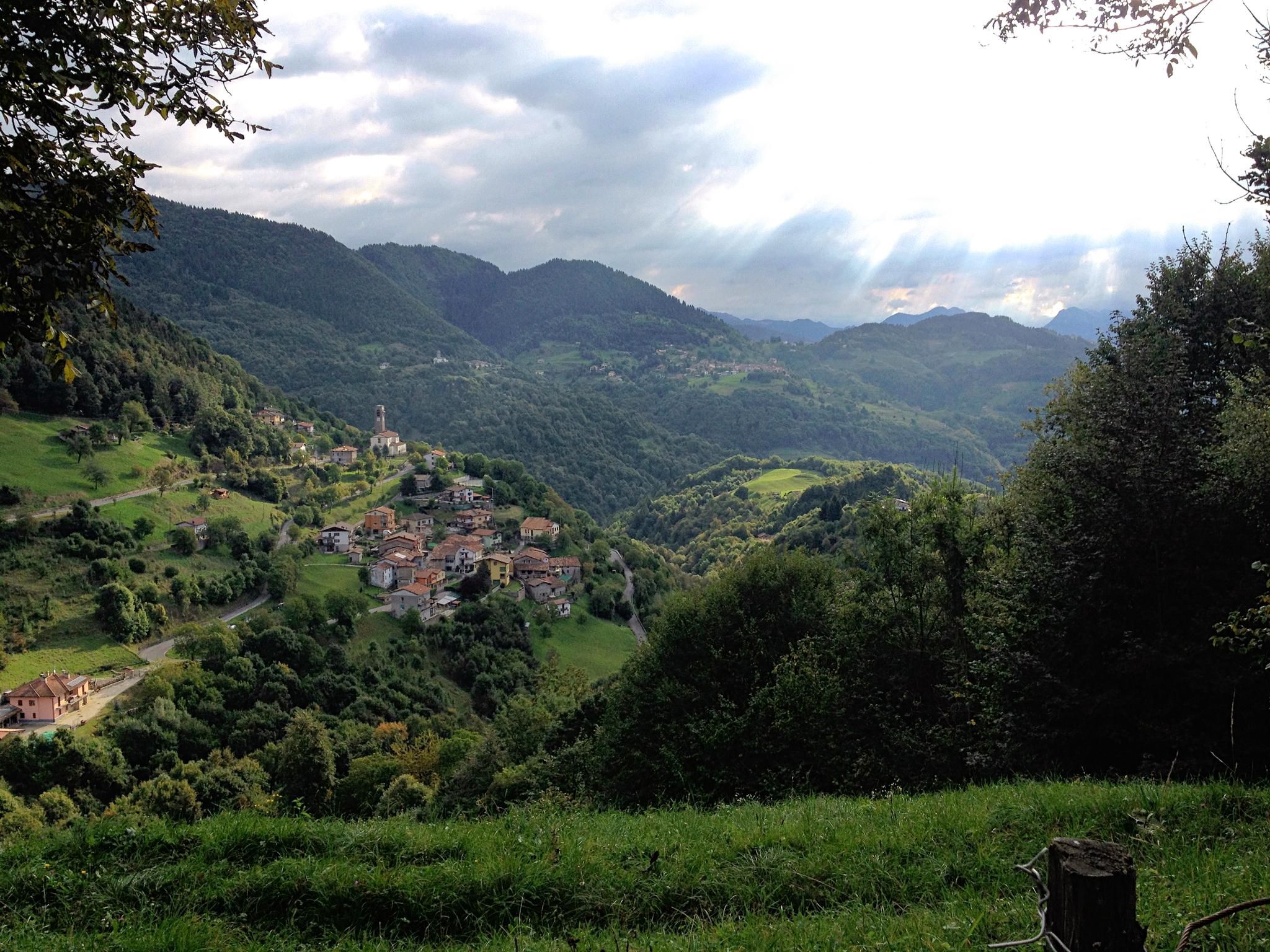
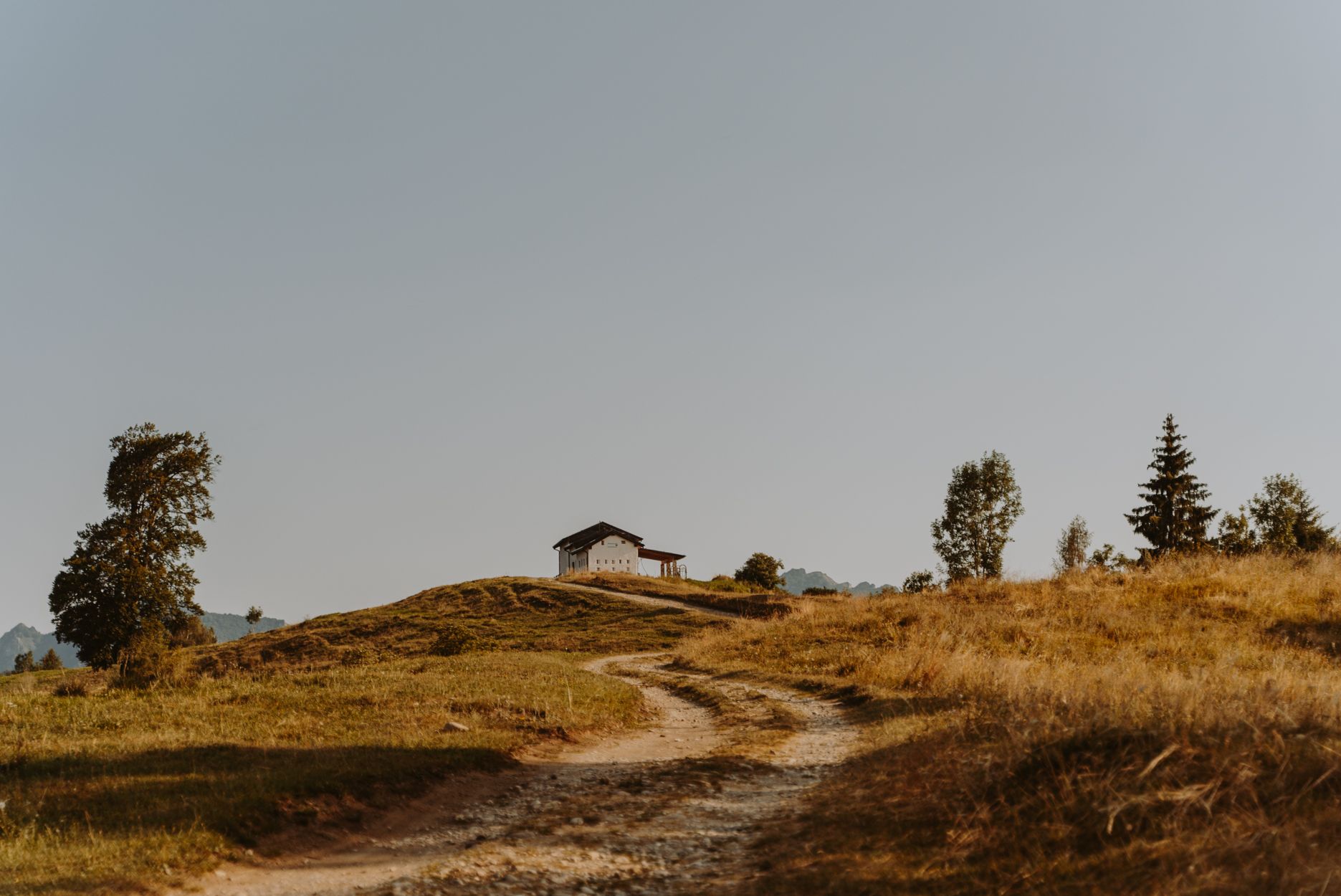
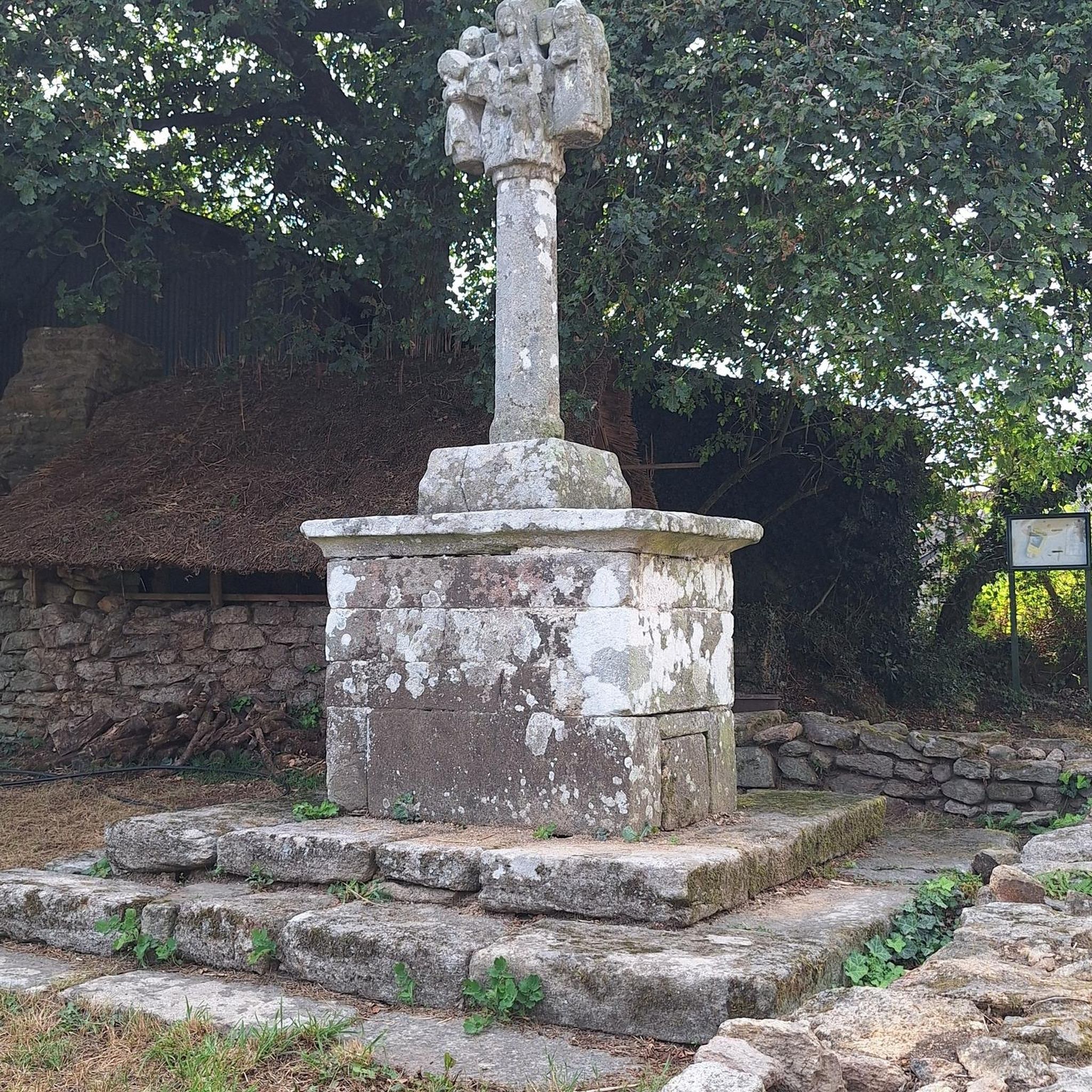


Tips from the Community

The Ciclovia dell'Oglio is an excellent cycle touring route of 282 kilometers that entirely follows the course of the Oglio river, connecting the mountains of Lombardy to the Po Valley. Considered the "most beautiful cycle path in Italy" (title received at the Italian Green Road Award 2019), it has a total negative elevation difference of almost 1,862 meters, starting from 1,883 meters at the Passo del Tonale to reach 21 meters of the Po at San Matteo delle Chiaviche. The route is 80% asphalt and 20% compact dirt road and is ideal for gravel, trekking, or e-bikes.
0
0

By train to Edolo and then by bike up to Ponte di legno. The next day, departure in four stages to Mantua. Beautiful cycle path. Recommended
0
0

Very nice, steady climb, great fun both up and down - at the top you can treat yourself to a well-deserved refreshment at the bar at Chiesa di San Giorgio.
0
0
Beautiful view of the magnificent Earth Pyramids of Zone.
0
0
Fast, unknown pass, ideal for a nice tour between Val Trompia and Val Camonica. Small, almost consistently very neatly asphalted road with almost no significant traffic, beautiful views, sporty altitude difference - what more could a road cyclist's heart desire!
0
0
Very remarkable works of art of nature - the path is in a protected area and must not be left.
0
0
The Pyramids of Zone are spectacular, imposing spires of earth located in Zone, in the province of Brescia, a short distance from the northeastern shore of Lake Iseo. These extraordinary geological formations, also known as "fairy chimneys", reach heights of up to 30 meters and are located within a protected regional nature reserve
0
0

The Rifugio Croce di Marone is located at 1,166 m on the southern slope of Monte Guglielmo, above Marone, and is one of the most convenient and frequented starting points for climbing the Guglielmo. 🏔️ Hut identity and location The refuge is located in the Croce di Marone area, reachable via the road that climbs from Marone → Cislano → Madonna della Rota, crossing the Valle dell’Opol. It is situated in a panoramic and strategic point for: Monte Guglielmo (1948 m) – classic and very frequented ascent Malga Guglielmo di Sotto and di Sopra Rifugio Almici Piani di Caregno The refuge is open all year round, has a restaurant, electric light, hot water, and about 15 beds. 🚗 How to get there By car from Marone Follow the signs for Zone. After about 4.5 km, past the cable car underpasses, you will find a sharp right turn with a sign for the refuge. The road becomes narrow and steep in the final kilometers. Paid parking with scratch card (3 € up to 4 hours, 5 € for longer). On foot from Zone (Englar) You can leave your car at the Englar restaurant (640 m). Ascent along the road/CAI 226 trail → approx. 1h20’–1h50’ depending on whether you cut corners. 🚶♂️ Main excursions from the refuge 1. Monte Guglielmo (E – approx. 2h) This is the shortest and most direct route to reach the summit of Guglielmo: Initial mule track Junction for Malpensata Section with white-blue 3V trail markers Malga Guglielmo di Sotto → Malga di Sopra Rifugio Almici → summit with the Monument to the Redeemer The panorama over the Sebino and the Prealps is considered one of the most beautiful in the area. 2. Rifugio Almici (1861 m) – 2h Simple and panoramic route along the mule track. 3. Piani di Caregno – 3h30’ Longer but very scenic route. 🏞️ Environment and atmosphere The area is characterized by: beech and fir woods open pastures views of Lake Iseo and Val Trompia presence of the 3V trail nearby It is an ideal spot for short excursions, longer treks, or family days out.
0
0
Frequently Asked Questions
How many no-traffic gravel bike trails can I find around Marcheno?
You'll find 12 dedicated no-traffic gravel bike trails around Marcheno, offering a range of experiences from easy riverside rides to challenging mountain ascents. These routes are carefully selected to ensure a peaceful ride away from vehicular traffic.
What kind of terrain and difficulty can I expect on Marcheno's no-traffic gravel trails?
The terrain varies significantly. You'll encounter flat, easy sections along river paths like parts of the Mella Cycle Path, as well as demanding climbs with significant elevation gain in the pre-Alpine areas. Routes range from 2 easy and 2 moderate to 8 difficult, so there's something for every fitness level. Be prepared for a mix of asphalted and unpaved surfaces, typical of gravel biking in Val Trompia.
Are there any family-friendly no-traffic gravel routes suitable for beginners around Marcheno?
Yes, there are options for families and beginners. The Mella Cycle Path, which passes through Marcheno, offers sections with alternating asphalted and dirt roads that are generally flat and suitable for a relaxed family ride. Consider routes like the Mella Cycle Path in Concesio – Church of Madonna della Stella loop from Concesio for a moderate, accessible experience.
What are the best times of year to go gravel biking in Marcheno?
Spring (April-June) and Autumn (September-October) are generally the best times for gravel biking in Marcheno. The weather is milder, and the natural scenery of Val Trompia is particularly beautiful. Summer can be hot, especially in the valleys, while winter may bring snow to higher elevations, making some trails inaccessible or requiring specialized equipment.
What natural features or landmarks can I see along the no-traffic gravel bike trails near Marcheno?
The trails often showcase the stunning natural beauty of Val Trompia. You might ride alongside the Mella River, pass through lush pre-Alpine landscapes, or even catch glimpses of the Caregno Plateau. For specific natural wonders, consider exploring areas near the Pyramids of Zone, which are unique earth formations, or the scenic Vello–Toline Cycle Path near Lake Iseo.
Are there any dog-friendly gravel cycling routes in the Marcheno area?
Many of the no-traffic gravel trails in Val Trompia are suitable for cycling with dogs, especially those on wider paths or quiet forest roads. Always ensure your dog is well-behaved, on a leash where required, and that you carry enough water for both of you. The less technical sections of the Mella Cycle Path are generally good options for rides with canine companions.
Where can I find parking for gravel bike trails around Marcheno?
Parking is generally available in and around the towns that serve as starting points for these trails. For routes along the Mella Cycle Path, you can often find parking in larger towns like Concesio or Gardone Val Trompia. For more remote mountain routes, look for designated parking areas near trailheads, such as those leading towards the Caregno Plateau or Mount Guglielmo.
What do other gravel bikers enjoy most about the no-traffic trails in Marcheno?
The komoot community highly rates the gravel biking experience around Marcheno, with an average score of 4.0 stars. Reviewers often praise the tranquility of the routes, the diverse landscapes ranging from riverside paths to challenging mountain ascents, and the opportunity to explore the authentic Val Trompia away from traffic.
Are there any cafes or places to stop for refreshments along these routes?
Yes, especially on routes that pass through or near villages in Val Trompia. You'll find opportunities to stop for coffee, snacks, or a meal. For example, routes starting from Gardone Val Trompia or Concesio will have amenities. On longer, more remote mountain routes, it's advisable to carry sufficient supplies, though some mountain huts (rifugi) might offer refreshments during peak seasons.
Can I reach the gravel bike trails around Marcheno using public transport?
Public transport options exist within Val Trompia, primarily bus services connecting the various towns. While some routes might be accessible by bus, direct access to specific trailheads, especially for more remote mountain paths, can be limited. It's best to check local bus schedules and routes in advance, considering bike transport policies if you plan to bring your bike on public transport.
Are there any challenging no-traffic gravel routes for experienced riders?
Absolutely. Marcheno and the surrounding Val Trompia offer several challenging routes for experienced gravel bikers. For instance, the Malga Guglielmo di Sopra – Ascent to Monte Guglielmo loop from Sale Marasino is a difficult route with significant elevation gain, taking you into the pre-Alpine environment. Another demanding option is the Malga Gale – Colle di San Zeno loop from Gardone Val Trompia, which also features substantial climbing.
Are there any specific permits required for gravel biking in the Marcheno area?
Generally, no specific permits are required for gravel biking on public trails and roads in the Marcheno area or Val Trompia. However, always respect private property, follow local signage, and adhere to any regulations posted in protected natural areas or parks. It's good practice to stay on marked trails to preserve the environment.
Most popular routes around Marcheno
Most popular attractions around Marcheno

Get inspired with the komoot mobile app


Explore more
Browse the best Gravel rides in other regions.
