The best running trails around Gardone Val Trompia
4.1
(38)
1,278
runners
21
runs
Jogging around Gardone Val Trompia offers diverse terrain within the Lombard Prealps and Valle Trompia. The region features mountainous landscapes, dense forests of beech, chestnut, and oak, and winding sections along the Mella river. Trails often traverse varied elevations, from valley floors to higher plateaus like Caregno, providing a range of running experiences.
Best jogging routes around Gardone Val Trompia
- The most popular jogging route is Dosso della Guarda – Grotta Caia Predele loop from Gardone Val Trompia, a…
Last updated: September 26, 2026
51
runners
15.2km
02:04
590m
590m
Hard run. Very good fitness required. Sure-footedness, sturdy shoes and alpine experience required.
5.0
(1)
26
runners
15.5km
02:35
940m
940m
Hard run. Very good fitness required. Sure-footedness, sturdy shoes and alpine experience required.

31
runners
11.2km
01:10
90m
90m
Moderate run. Good fitness required. Mostly paved surfaces. Suitable for all skill levels.
19
runners
15.4km
02:33
810m
810m
Hard run. Very good fitness required. Sure-footedness, sturdy shoes and alpine experience required.
19
runners
25.4km
03:29
1,260m
1,260m
Hard run. Very good fitness required. Sure-footedness, sturdy shoes and alpine experience required.
Get access to more routes and recommendations from other explorers.
Already have an account?
Our route recommendations are based on thousands of hikes, rides, and runs completed by other people on komoot.
Start today with a free account
Your next adventure awaits.
Popular around Gardone Val Trompia
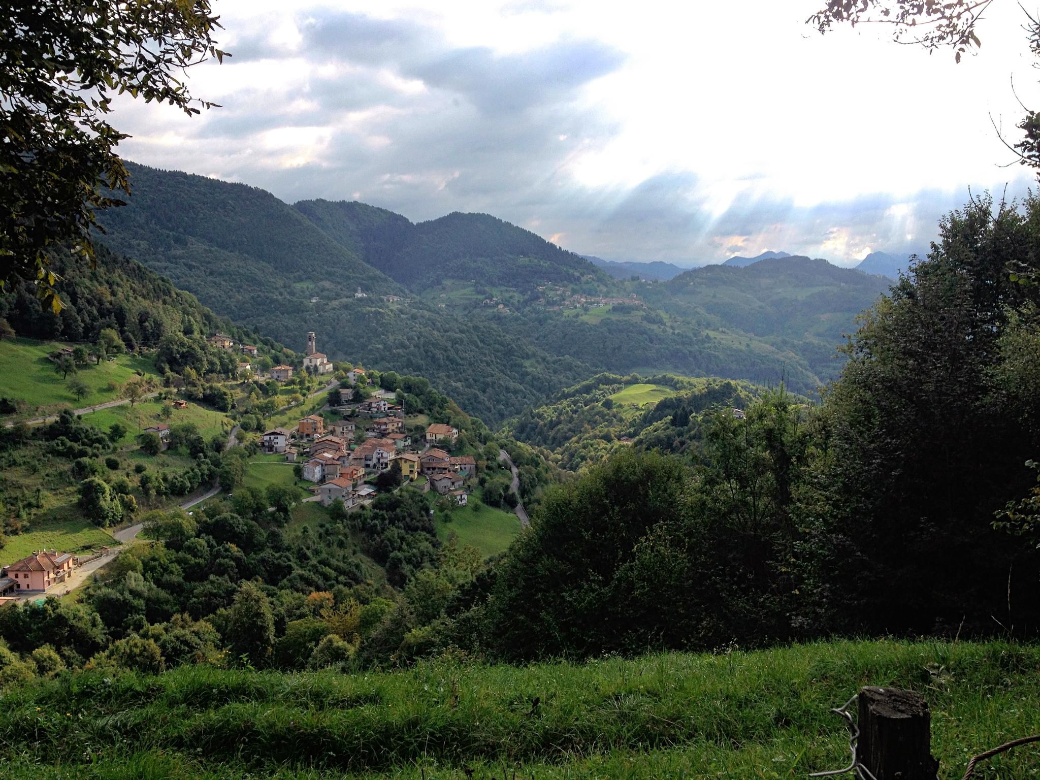
Far from the asphalt – the slopes of the middle Trompia Valley
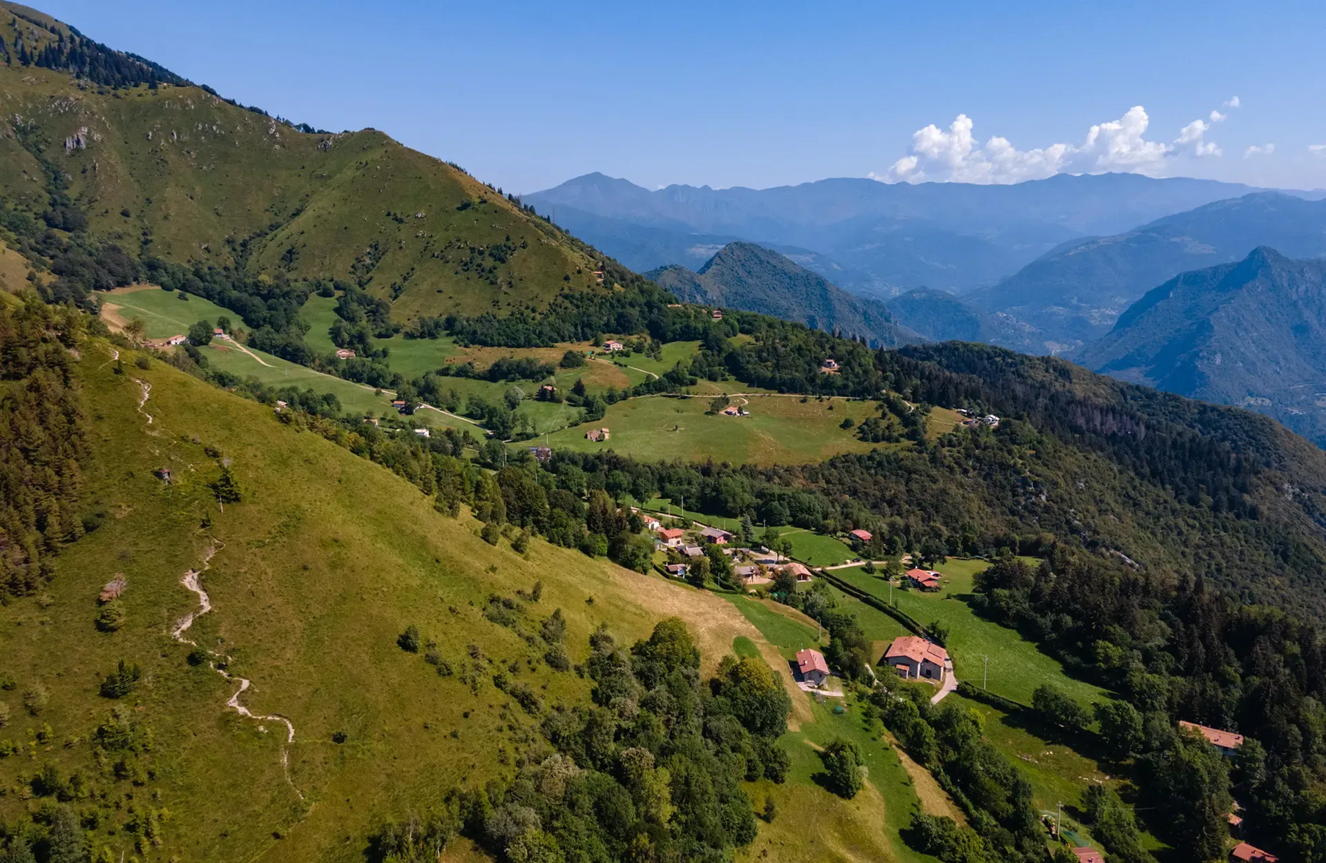
Montecampione – a gem among the valleys of Brescia
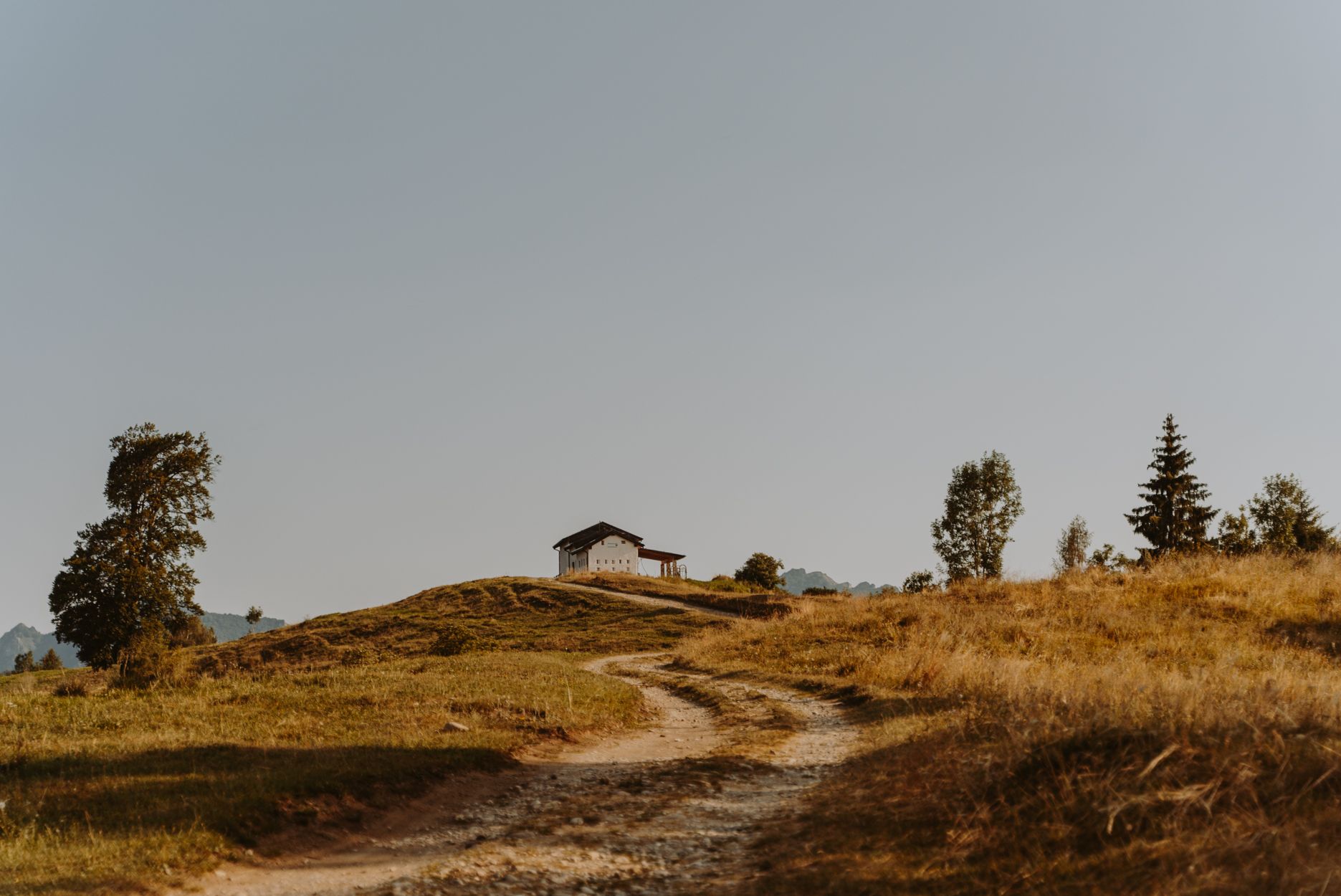
Superb descents and old huts – Italy’s upper Trompia Valley by MTB
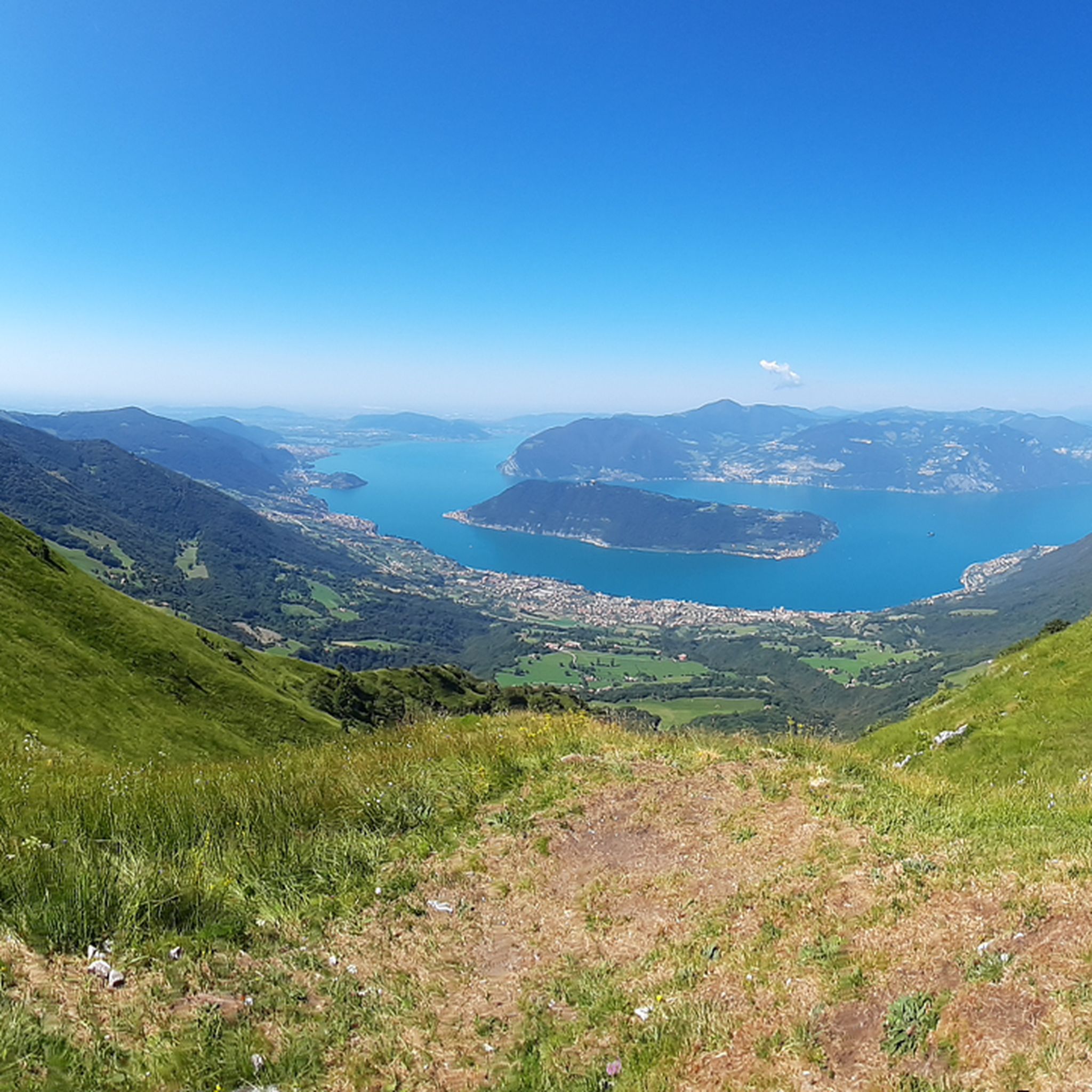
Hiking around Gardone Val Trompia
MTB Trails around Gardone Val Trompia
Road Cycling Routes around Gardone Val Trompia
Cycling around Gardone Val Trompia

Gravel biking around Gardone Val Trompia
Mountain Hikes around Gardone Val Trompia
Other adventures around Gardone Val Trompia

Tips from the Community

La Croce di Pezzolo is a panoramic pass at about 970 m above Sale Marasino, a fundamental crossing point between the Lake Iseo side and the Val Trompia. It is reachable both from Portole and from Pezzolo/Osteria Pastina and is a key junction for the trails towards Punta Almana. 📍 Where it is located and what it represents La Croce di Pezzolo is located along the southern ridge of the Almana, in a small grassy saddle that separates: the southern slope descending towards Pezzolo and Lake Iseo the northern slope facing Forcella di Sale and Val Trompia It is a popular spot for hikers because: it marks the transition between the 3V trail (lower section) and the path leading to the Almana summit it offers an open panorama of the Sebino and the Prealps it is easily accessible from multiple directions 🥾 How to reach it 1) From Pezzolo – Osteria Pastina (813 m) This is the shortest and simplest route. From the trattoria, follow the mule track that climbs through the woods and in 20–25 minutes you will reach La Croce di Pezzolo. 2) From Portole (Sale Marasino) From the Portole restaurant, climb towards Forcella di Sale and then descend slightly to the La Croce di Pezzolo pass. It is part of many loops, including the one leading to Punta Almana. 3) From the southern ridge of the Almana When descending from the summit along the southern ridge, La Croce di Pezzolo is the first point of reference. The ridge is scenic and highly appreciated. 🌄 Environment and panoramas The Croce is located in an open meadow, with views of: Lake Iseo Monte Isola Corna Trentapassi the Almana–Cabrera ridge It is a perfect place for a break during the Portole → Almana → Pezzolo loop.
0
0
The Rifugio Croce di Marone is located at 1,166 m on the southern slope of Monte Guglielmo, above Marone, and is one of the most convenient and frequented starting points for climbing the Guglielmo. 🏔️ Hut identity and location The refuge is located in the Croce di Marone area, reachable via the road that climbs from Marone → Cislano → Madonna della Rota, crossing the Valle dell’Opol. It is situated in a panoramic and strategic point for: Monte Guglielmo (1948 m) – classic and very frequented ascent Malga Guglielmo di Sotto and di Sopra Rifugio Almici Piani di Caregno The refuge is open all year round, has a restaurant, electric light, hot water, and about 15 beds. 🚗 How to get there By car from Marone Follow the signs for Zone. After about 4.5 km, past the cable car underpasses, you will find a sharp right turn with a sign for the refuge. The road becomes narrow and steep in the final kilometers. Paid parking with scratch card (3 € up to 4 hours, 5 € for longer). On foot from Zone (Englar) You can leave your car at the Englar restaurant (640 m). Ascent along the road/CAI 226 trail → approx. 1h20’–1h50’ depending on whether you cut corners. 🚶♂️ Main excursions from the refuge 1. Monte Guglielmo (E – approx. 2h) This is the shortest and most direct route to reach the summit of Guglielmo: Initial mule track Junction for Malpensata Section with white-blue 3V trail markers Malga Guglielmo di Sotto → Malga di Sopra Rifugio Almici → summit with the Monument to the Redeemer The panorama over the Sebino and the Prealps is considered one of the most beautiful in the area. 2. Rifugio Almici (1861 m) – 2h Simple and panoramic route along the mule track. 3. Piani di Caregno – 3h30’ Longer but very scenic route. 🏞️ Environment and atmosphere The area is characterized by: beech and fir woods open pastures views of Lake Iseo and Val Trompia presence of the 3V trail nearby It is an ideal spot for short excursions, longer treks, or family days out.
0
0
panorama from Monte Guglielmo
0
0

It was my destination for today, next summer I will go up to the top (in gravel)
0
0
when they say lose your head, unique landscapes that will steal your heart
0
0


The last stretches in sight of the destination, the monument to Christ the Redeemer above the Almici refuge.
0
0

Montisola peak and sanctuary
0
0
Frequently Asked Questions
How many jogging routes are available in the Gardone Val Trompia area?
The Gardone Val Trompia region offers a wide selection of over 20 running routes, catering to various preferences and fitness levels. These trails wind through the diverse landscapes of the Lombard Prealps and Valle Trompia.
Are there running routes suitable for beginners or those looking for an easy jog?
Yes, while many routes in Gardone Val Trompia feature challenging mountainous terrain, there are also options for easier jogs. For instance, the Grotta Caia Bros loop from Gardone Val Trompia is a moderate 10.6 km path that navigates through varied forest and valley terrain, offering a less strenuous experience.
What kind of terrain can I expect on the running trails around Gardone Val Trompia?
Jogging routes in Gardone Val Trompia offer a diverse range of terrain. You can expect mountainous landscapes, dense forests of beech, chestnut, and oak, and winding sections along the Mella river. Trails often traverse varied elevations, from valley floors to higher plateaus like Caregno, providing a dynamic running experience.
Are there any circular running routes in the area?
Yes, many of the running routes in Gardone Val Trompia are designed as loops, allowing you to start and finish at the same point. A popular example is the Palazzo Corulli loop from Gardone Val Trompia, a 9.1 km trail that leads through the local valley landscape.
Can I find running routes with scenic viewpoints in Gardone Val Trompia?
Absolutely. The mountainous terrain of Gardone Val Trompia means many routes offer rewarding views. For example, the challenging Dosso della Guarda – Grotta Caia Predele loop from Gardone Val Trompia provides expansive views over the landscape. Additionally, the nearby View of Lodrino is a highlight that can be incorporated into longer runs for panoramic vistas.
Are there any running trails that pass by historical sites or natural landmarks?
Yes, the region is rich in both natural beauty and historical significance. While running, you might encounter natural features like the Mella river or the unique geological formations of the Caregno Plateau. For historical interest, consider routes that pass near highlights such as the Oldofredi Castle of Iseo or the San Rocco Castle and Church, Provaglio d'Iseo, which are accessible from the wider area.
What do other runners say about the trails in Gardone Val Trompia?
The running routes in Gardone Val Trompia are highly rated by the komoot community, with an average score of 4.3 stars from over 47 reviews. Many runners praise the diverse terrain, the beautiful natural scenery, and the variety of options for different fitness levels.
Are there any running routes near water features like rivers or waterfalls?
The Mella river longitudinally traverses Gardone Val Trompia, offering potential riverside paths for a more relaxed run with the soothing sound of flowing water. The wider Valle Trompia region is also known for its stunning waterfall walks, providing beautiful and invigorating scenery for those who enjoy a more dynamic route.
Are there any dedicated paths or cycle routes that are suitable for jogging?
Yes, the provincial cycle path of Valle Trompia runs through Gardone Val Trompia, connecting to neighboring towns. These well-maintained paths often offer excellent surfaces suitable for jogging, providing a smooth and accessible option for runners.
What are some challenging running routes for experienced runners in Gardone Val Trompia?
For experienced runners seeking a challenge, Gardone Val Trompia offers several difficult routes with significant elevation gain. The Punta Almana loop from Gardone Val Trompia is a particularly demanding 36.2 km trail with over 2400 meters of elevation gain, offering a strenuous workout and rewarding views.
Where can I find more information about the natural landscapes of Valle Trompia?
For more detailed information about the flora, fauna, and mountainous landscapes of the Valle Trompia, you can visit the official tourism website: visitgardonevaltrompia.it.
Most popular routes around Gardone Val Trompia
Most popular attractions around Gardone Val Trompia

Get inspired with the komoot mobile app


Explore more
Browse the best Running Trails & Routes in other regions.
