The best walks and hikes around Trochtelfingen
4.5
(13477)
51,543
hikers
106
hikes
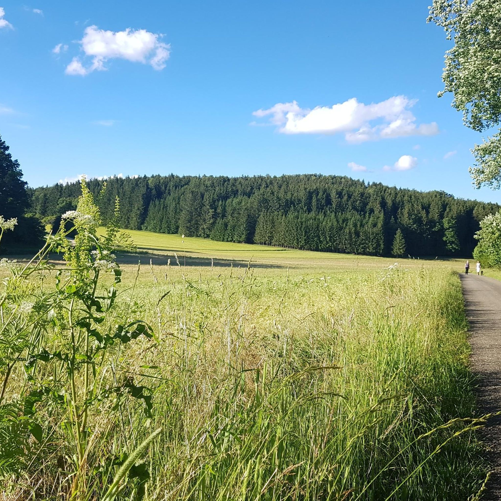
Hiking around Trochtelfingen offers a variety of trails through the diverse landscape of the Swabian Alb. The region is characterized by rolling hills, dense woodlands, and river valleys, with elevations typically under 200 meters. Numerous trails lead past natural features like Lauchert Lake and historical structures such as the Augstberg Tower, providing varied terrain for outdoor activities.
Best hiking trails around Trochtelfingen
- The most popular hiking route is Lauchert Lake – Lauchert Lake loop from Mägerkingen, a 4.5 miles…
Last updated: September 25, 2026
4.9
(25)
79
hikers
7.49km
02:07
160m
160m
Moderate hike. Good fitness required. Easily-accessible paths. Suitable for all skill levels.
4.6
(30)
67
hikers
8.09km
02:15
150m
150m
Moderate hike. Good fitness required. Easily-accessible paths. Suitable for all skill levels.

4.6
(11)
56
hikers
13.7km
03:48
250m
250m
Moderate hike. Good fitness required. Easily-accessible paths. Suitable for all skill levels.
4.5
(6)
51
hikers
14.7km
04:04
260m
260m
Moderate hike. Good fitness required. Easily-accessible paths. Suitable for all skill levels.
4.8
(9)
37
hikers
8.26km
02:18
150m
150m
Moderate hike. Good fitness required. Easily-accessible paths. Suitable for all skill levels.
Get access to more routes and recommendations from other explorers.
Already have an account?
Our route recommendations are based on thousands of hikes, rides, and runs completed by other people on komoot.
Start today with a free account
Your next adventure awaits.

Other adventures around Trochtelfingen

Tips from the Community

Fields and arable land - Beautiful view over the Swabian Jura - Trochtelfingen-Mägerkingen - LKR. Reutlingen
0
0
Beautiful view of the town Mägerkingen - Trochtelfingen-Mägerkingen - LKR. Reutlingen
0
0
Wanderparkplatz Roßmannskreuz 753 m above sea level. - Trochtelfingen-Mägerkingen - LKR. Reutlingen
0
0
Grill and rest hut - LSG Neuban - Neuban Steinriegel 802 m a.s.l. - Trochtelfingen-Mägerkingen - LKR. Reutlingen Ideal for a break 👍
0
0
Beautiful view of the town from the panoramic bench - Gewann: Wacht Obere Steige 751 m. ü.N.N. - Trochtelfingen-Mägerkingen - LKR. Reutlingen
0
0
St. Blasius Church Mägerkingen A Protestant island in a Catholic environment – since the Reformation, Mägerkingen has remained Protestant, unlike the surrounding villages. The spiritual center for believers has always been the St. Blasius Church, whose onion tower still shapes the village landscape today. In 2003, extensive renovation work on the building was completed. On the outside, the original coloring from the Baroque period was chosen. Inside, "windows into the past" were installed, offering insights into the church's former stone painting. Source: https://www.schwaebischealb.de/attraktionen/st.-blasius-kirche-maegerkingen#/article/31ee282e-b82e-481c-8315-01ed1d7f30ba
0
0
St. Blasiuskirche Mägerkingen Our St. Blasius Church in Mägerkingen was built as early as 1777. In June 2003, it was rededicated after extensive renovation work. Presumably, a first church was already built in Mägerkingen between 900 and 1000 AD. In any case, in 1275 Mägerkingen is mentioned as an independent parish in the "Konstanzer Zehntbuch". After the Thirty Years' War, Mägerkingen recovered only slowly from the destruction, which also affected the medieval nave of the church. It was time for a new building under master builder Goetz, which was consecrated in 1777. In 2001, the exterior renovation of the listed St. Blasiuskirche began. The roof structure was repaired and re-covered, and the exterior paint was redesigned. The extensive interior renovation followed a year later. Seating and the altar table allow for new forms of worship, new lighting creates accents, the baptismal font was moved to the center. The pulpit in its old form was dispensed with, but the baroque crucifix was hung back in its old place. And the Weigle organ was also cleaned and rebuilt. And so, the St. Blasiuskirche in its current form could be rededicated with a festive service on June 29, 2003. Source: https://www.gammertingen-trochtelfingen-evangelisch.de/kirchen-und-gemeindehaeuser/st-blasius-kirche-und-gemeindehaus-maegerkingen
0
0

A wonderful corner with a delicious bakery that is also open on Sundays.
0
0
Frequently Asked Questions
How many hiking trails are available around Trochtelfingen?
There are over 100 hiking routes in the Trochtelfingen area, offering a wide variety of options for different skill levels and preferences. The region is known for its diverse landscapes, including river valleys, forested hills, and open areas.
Are there easy hiking options suitable for beginners in Trochtelfingen?
Yes, Trochtelfingen offers many easy hiking options. Approximately 63 of the available routes are classified as easy, making them perfect for beginners or those looking for a relaxed stroll through the scenic Swabian Alb landscape.
What kind of terrain can I expect on hikes around Trochtelfingen?
The terrain around Trochtelfingen is varied, characterized by rolling hills, dense woodlands, and river valleys, particularly along the Lauchert. Elevations are generally moderate, typically under 200 meters, providing a mix of gentle ascents and descents through natural features and open landscapes.
Are there any circular hiking routes near Trochtelfingen?
Many routes in the area are circular. For example, the Lauchert Lake – Lauchert Lake loop from Mägerkingen is a popular moderate trail that circles the scenic Lauchert Lake. Another option is the Augstberg Tower – Augstberg Tower loop from Trochtelfingen, which leads through forested hills.
Can I find family-friendly hikes in the Trochtelfingen area?
Yes, the region offers several routes suitable for families. The generally moderate elevations and well-maintained paths make many of the easy and moderate trails enjoyable for all ages. Look for shorter, less strenuous loops that explore local natural features like Lauchert Lake.
What are some longer or more challenging hikes around Trochtelfingen?
For those seeking a longer hike, the Augstberg Tower – Hoher Turm Trochtelfingen loop from Mägerkingen is a moderate 9.1-mile (14.7 km) path featuring ascents to prominent towers with panoramic views. Another option is the Dachenstein Observation Tower – Fröschleteich loop from Steinhilben, which covers over 10 km.
What do other hikers say about the trails in Trochtelfingen?
The hiking routes in Trochtelfingen are highly rated by the komoot community, with an average score of 4.6 stars from over 2,600 reviews. Hikers often praise the varied terrain, the well-marked paths, and the beautiful natural scenery, especially around Lauchert Lake and the panoramic views from the towers.
Are there any interesting landmarks or viewpoints along the hiking trails?
Yes, the trails often lead past notable landmarks and offer scenic viewpoints. You can find structures like the Augstberg Tower, which provides panoramic views. Other points of interest include the Sternberg Tower and the Bolberg Summit, both offering great vistas of the surrounding Swabian Alb landscape.
Is it possible to hike in Trochtelfingen during winter?
While specific winter trail conditions can vary, the region's generally moderate elevations mean that many trails remain accessible in winter, especially after light snowfall. However, it's always advisable to check local conditions and wear appropriate gear for potentially icy or snowy paths.
Where can I find parking for hiking trailheads in Trochtelfingen?
Many trailheads in and around Trochtelfingen, as well as in nearby villages like Mägerkingen, offer designated parking areas for hikers. Specific parking information is often available on individual route descriptions, making it convenient to access the trails.
Are there any routes that pass by historical or cultural sites?
Yes, some routes incorporate historical elements. For instance, the Guild signs in Trochtelfingen – Pulverturm Trochtelfingen loop from Trochtelfingen ALB-GOLD takes you past guild signs and the Pulverturm (Powder Tower), offering a glimpse into the town's heritage while enjoying the outdoors.
Most popular routes around Trochtelfingen
Most popular attractions around Trochtelfingen

Get inspired with the komoot mobile app


Explore more
Browse the best Hikes in other regions.
