The best road cycling routes in Ruija region
4.6
(16)
652
riders
18
rides
Road cycling in Ruija region, located in Finnmark, Norway, offers diverse terrain for cyclists. The region features coastal roads, often following fjords and open landscapes, with routes that include both gentle sections and challenging ascents. Elevation changes are common, providing varied experiences from sea level climbs to higher plateaus. The landscape is characterized by its northern coastal environment, with routes connecting towns and natural landmarks.
Best road cycling routes in Ruija region
- The most popular road cycling route is Olderfjord…
Last updated: July 20, 2026
4.7
(6)
331
riders
124km
06:23
1,430m
1,130m
Hard road ride. Very good fitness required. Some segments of this route may be unpaved and difficult to ride.
4.0
(3)
119
riders
87.1km
03:55
830m
800m
Moderate road ride. Good fitness required. Mostly well-paved surfaces and easy to ride.

Sign up for free
5.0
(2)
13
riders
20.1km
00:57
180m
180m
Easy road ride. Great for any fitness level. Mostly well-paved surfaces and easy to ride.
10
riders
87.6km
03:41
630m
630m
Moderate road ride. Good fitness required. Mostly well-paved surfaces and easy to ride.
6
riders
73.2km
03:34
1,040m
1,050m
Hard road ride. Very good fitness required. Mostly well-paved surfaces and easy to ride.
7
riders
80.9km
05:09
1,440m
1,440m
Hard road ride. Very good fitness required. Some segments of this route may be unpaved and difficult to ride.
3
riders
118km
10:24
1,080m
1,080m
Hard road ride. Very good fitness required. Some segments of this route may be unpaved and difficult to ride.
31
riders
Hard road ride. Very good fitness required. Some segments of this route may be unpaved and difficult to ride.
5.0
(2)
38
riders
16.5km
00:43
150m
150m
Easy road ride. Great for any fitness level. Mostly well-paved surfaces and easy to ride.
21
riders
108km
04:34
830m
830m
Moderate road ride. Good fitness required. Some segments of this route may be unpaved and difficult to ride.
Get access to more routes and recommendations from other explorers.
Sign up for free
Already have an account?
Our route recommendations are based on thousands of hikes, rides, and runs completed by other people on komoot.
Start today with a free account
Your next adventure awaits.
Login or Signup
Popular around Ruija region
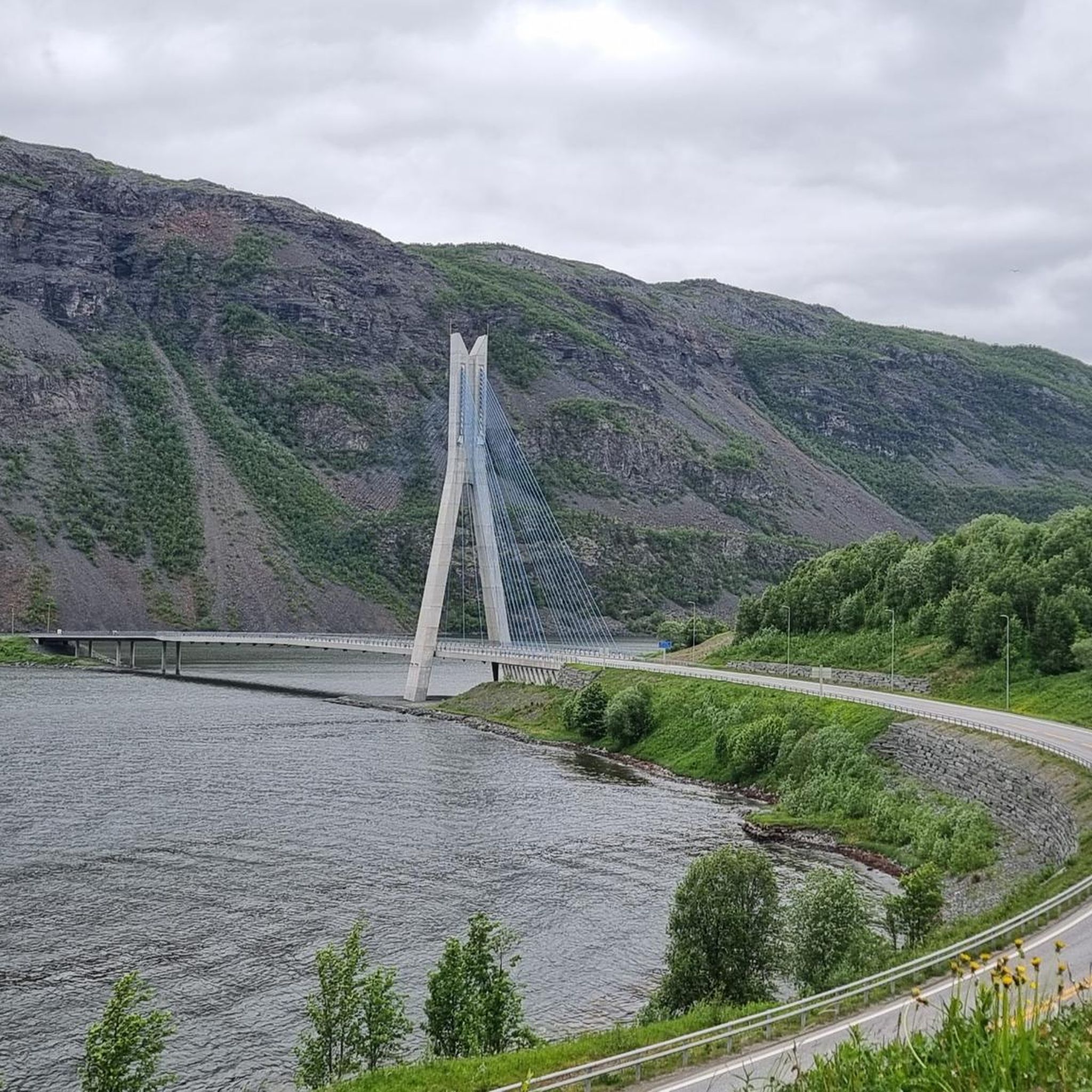
Road Cycling Routes around Alta
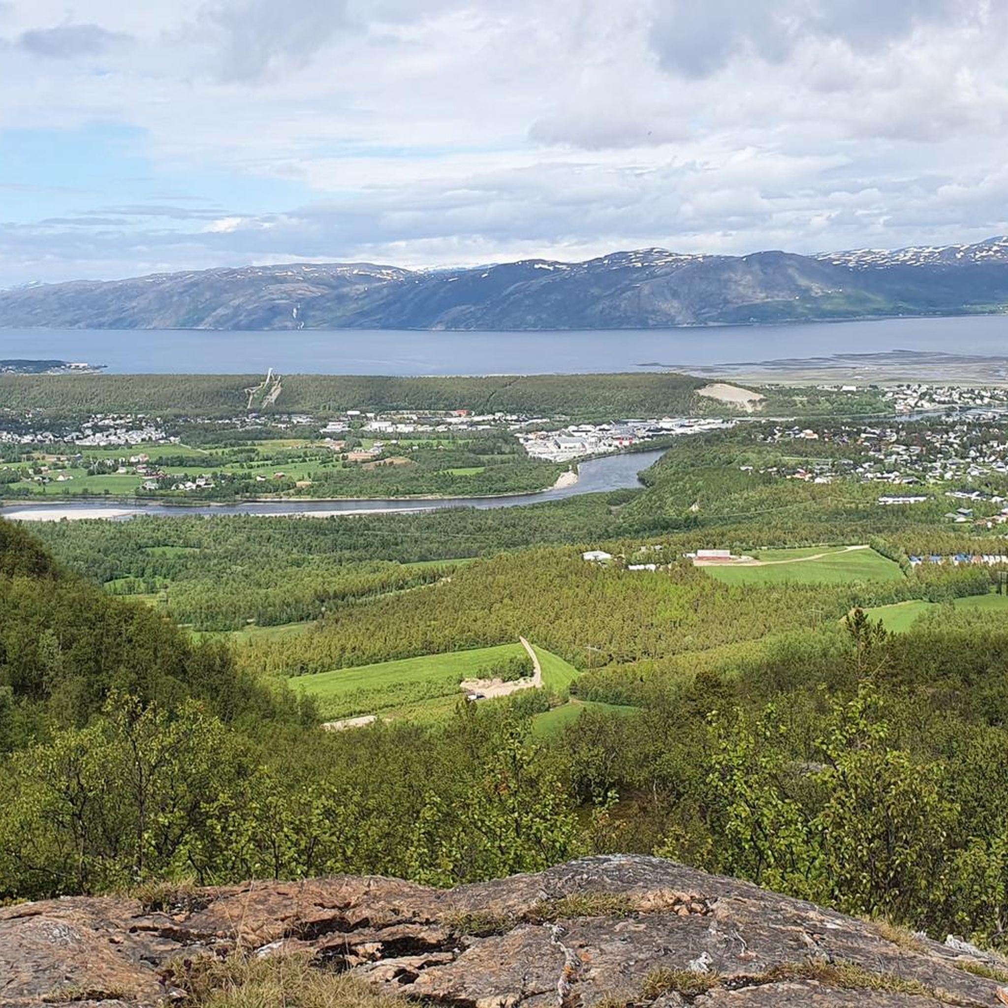
Road Cycling Routes in Tverrelvdalen Naturreservat
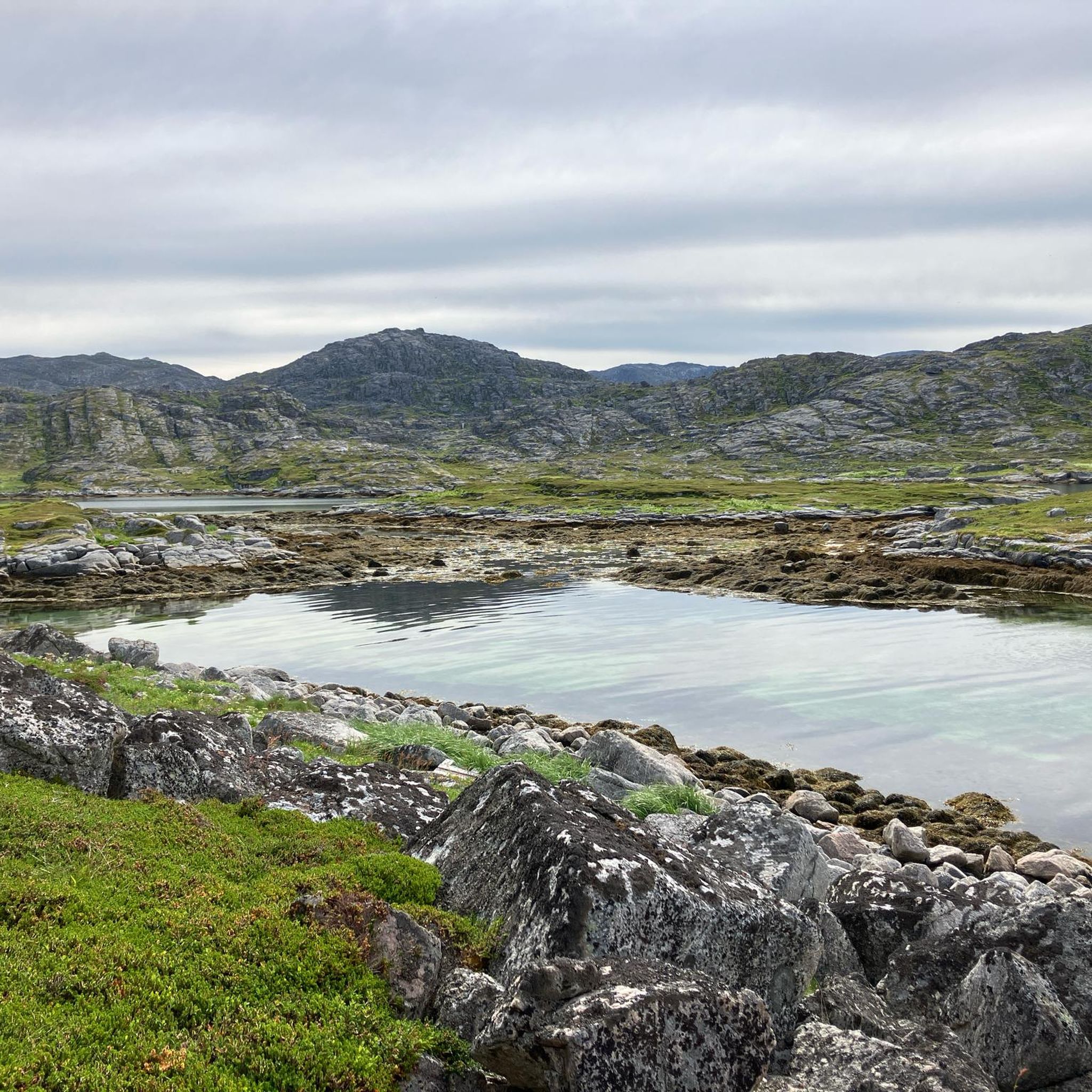
Road Cycling Routes around Nordkapp
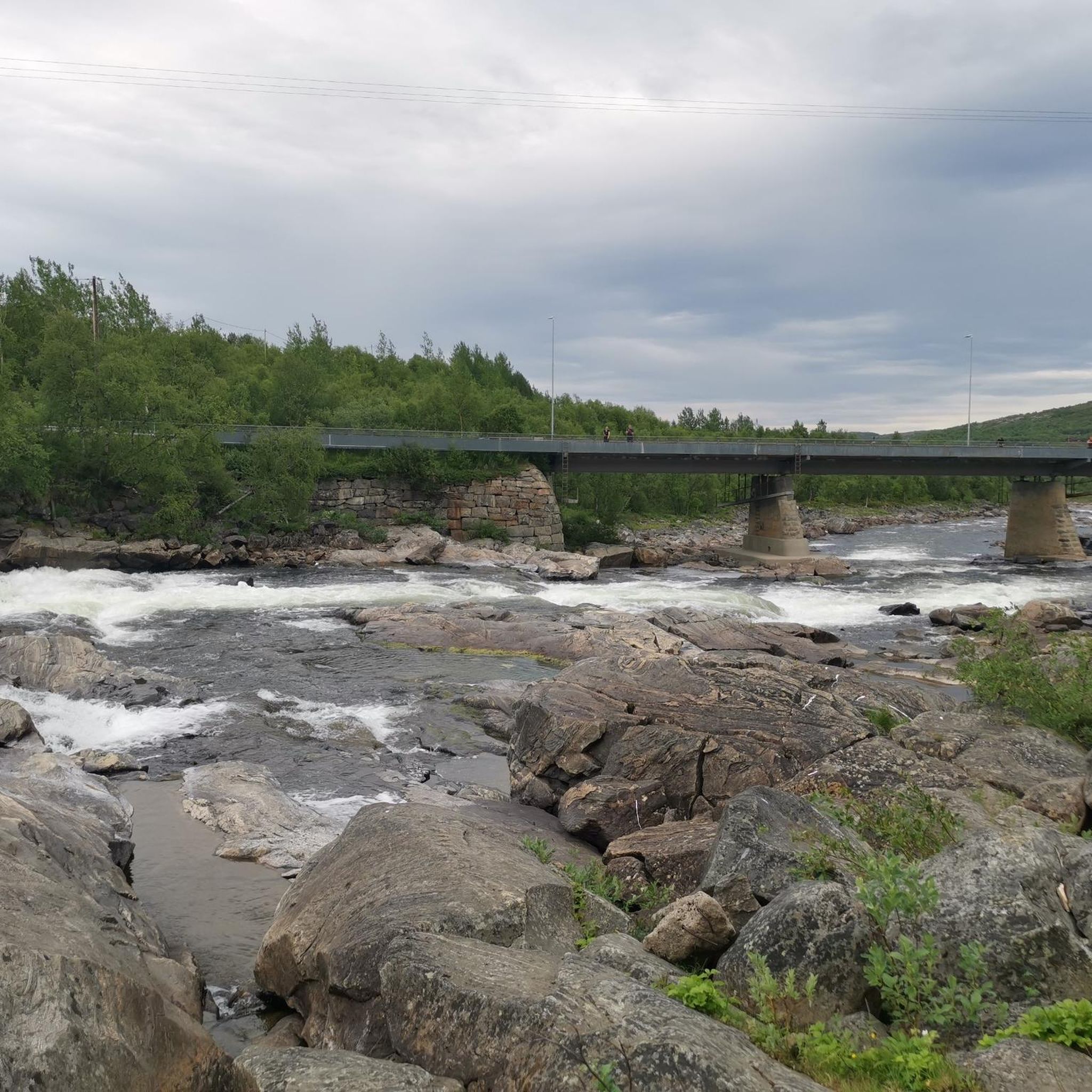
Road Cycling Routes around South Varanki
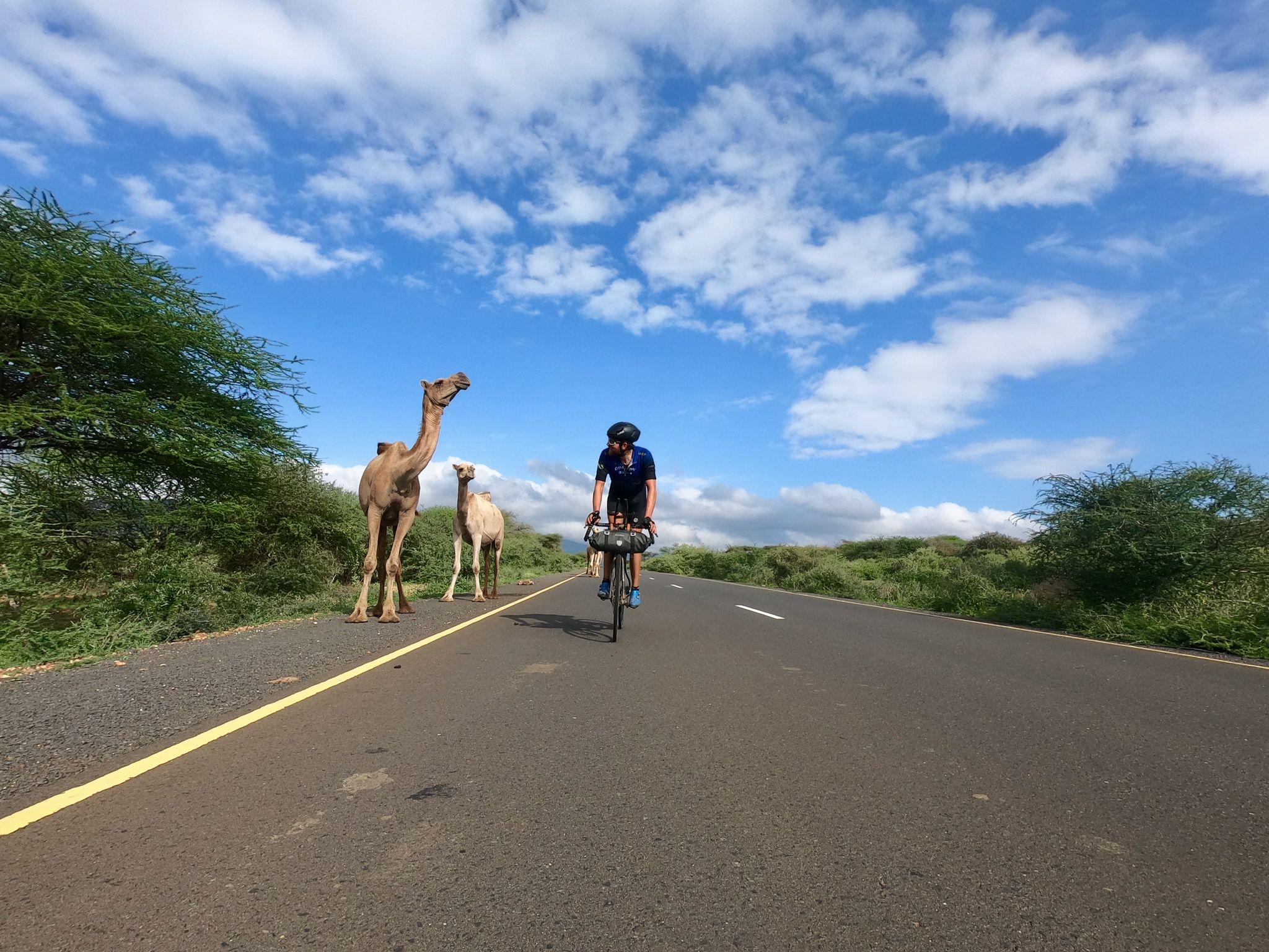
Cape to Cape Challenge – 18,000km in 73 days
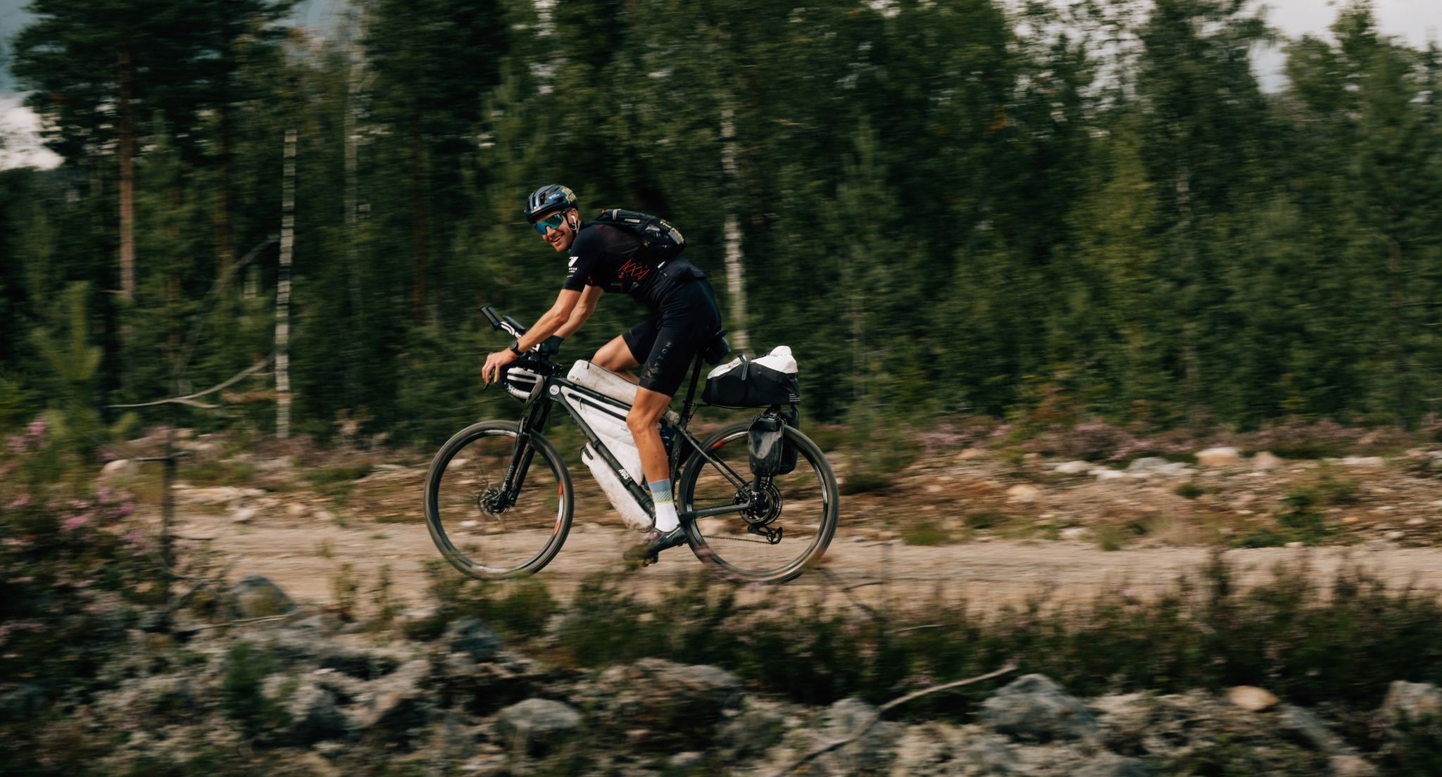
European D̶I̶V̶I̶D̶E̶ Connect Trail Project – a journey across Europe

European Divide Trail — 7,600 km across the continent
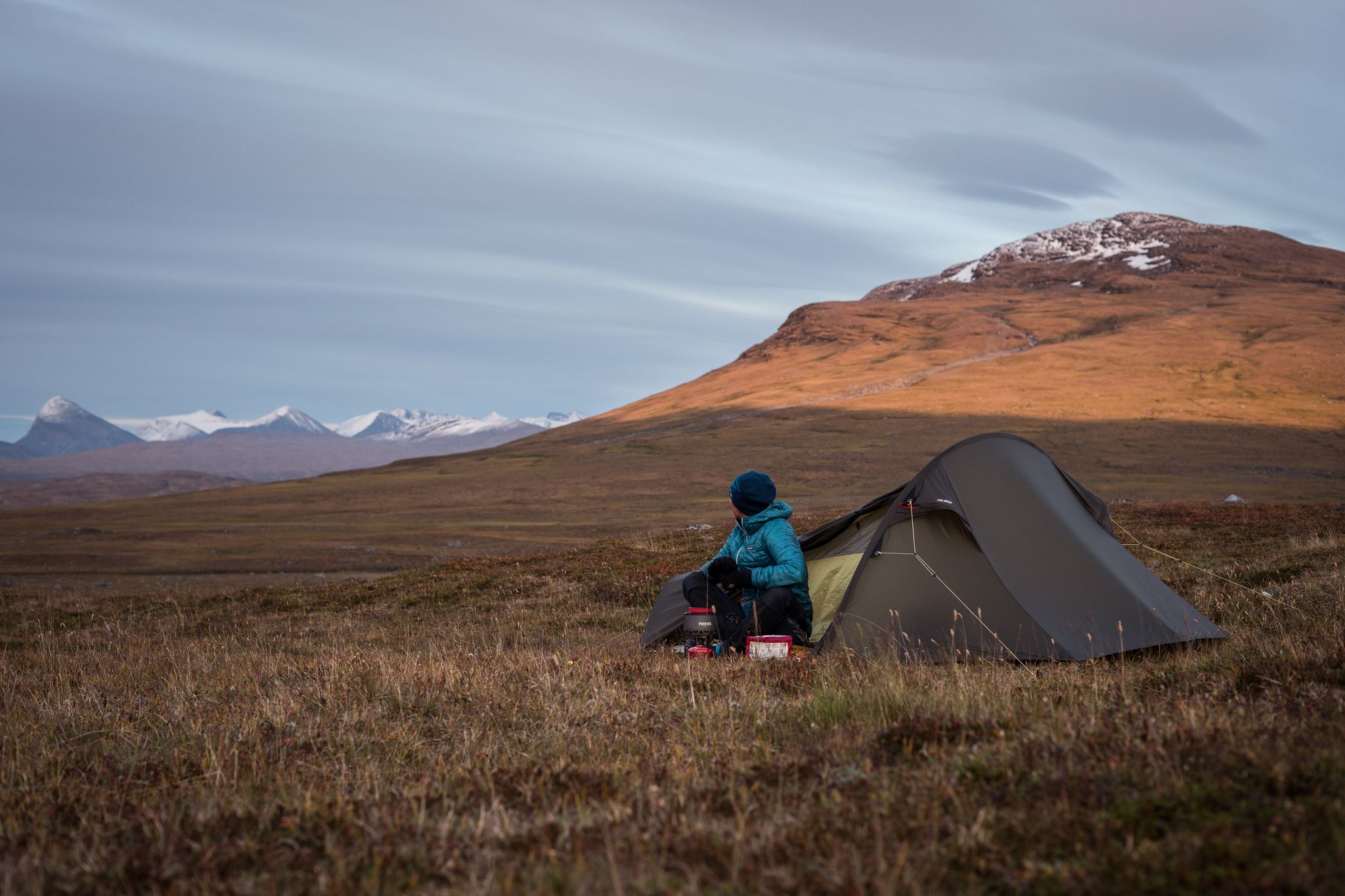
The Nordkalottleden — At the edges of the polar circle
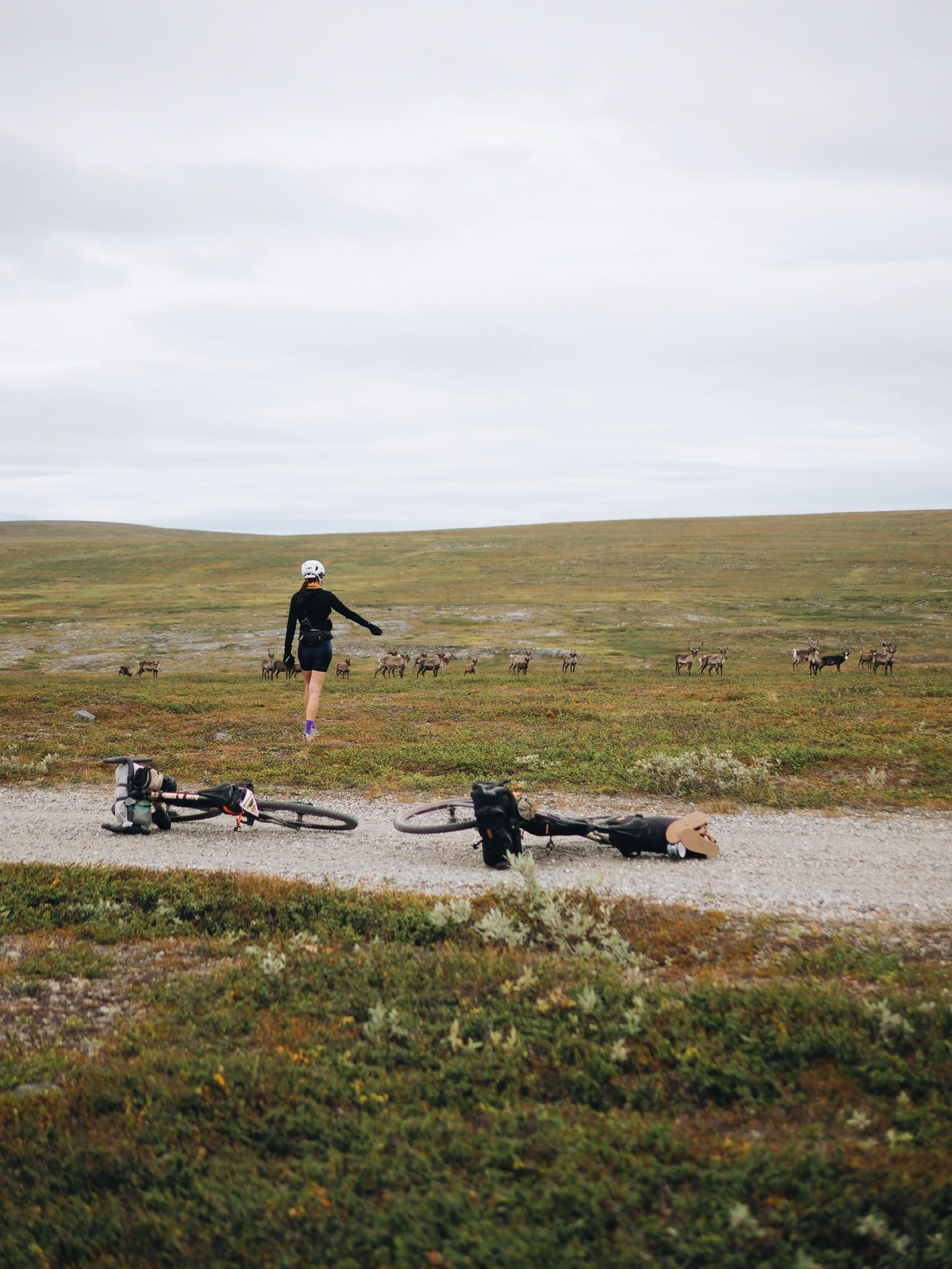
Arctic Post Road

Naples to North Cape — Two friends, one purpose and many scoops of ice-cream
Other adventures in Ruija region


Tips from the Community

The Globe at the North Cape is like a magnet, everyone rushes there as quickly as possible 🙈
0
0

Here you'll find a board with a map that shows the hiking trails around Komsatoppen.
0
0

1
1

Honningsvåg is the largest town and administrative center of the Nordkapp municipality. It is located in the southeast of the island of Magerøya in the Norwegian county of Finnmark. The Nordkapp municipality has a total population of approximately 3,200, three-quarters of whom live in Honningsvåg. The next largest town is Nordvågen with around 400 inhabitants. The rest is spread across the villages of Kamøyvær, Skarsvåg, Valan, and Gjesvær, all located on the island of Magarøya. There is also the small town of Kåfjord, located on the mainland near the entrance to the Nordkapp Tunnel. Besides tourism, the most important source of income for the Nordkapp municipality is fishing. Therefore, Honningsvåg is also the training center for the Finnmark fishing industry. In 1944, all the houses on the island, except for the church from 1885, were destroyed by the German Wehrmacht. Reconstruction lasted until 1960. Honningsvåg has called itself the northernmost town in the world since 1996. It lies further north than Hammerfest, which, however, is entitled to the title of northernmost town in Europe due to an agreement. This is because, by law, towns in Norway must have at least 5,000 inhabitants, but Honningsvåg invoked a legal clause stating that town charters, once granted, remain valid. More than 110 cruise ships visit Honningsvåg every year, as passengers wish to visit the North Cape. In Norway, only Bergen and Geiranger are visited more frequently by cruise ships.
2
0

The road goes on forever, and the sky just seems so big. Wonderful views on this perfect cycling road.
1
0

A peaceful and picturesque nature reserve at the end (or beginning) of National Cycle Route 1. Stop to enjoy the serenity, you'll think you're at the end of the world.
0
0
The abandoned fishing village of Hamningberg marks the end of the National Cycle Route 1. It's like stepping back in time. You can stay in the village during summer season.
0
0
A great suspension bridge with a dedicated cycle lane. The views in both directions are magnificent too.
0
0
Frequently Asked Questions
How many road cycling routes are available in Ruija region?
The Ruija region offers over 20 road cycling routes, catering to various skill levels. These routes are highly rated by the komoot community, with an average score of 4.75 stars.
What kind of terrain can I expect when road cycling in Ruija region?
Road cycling in Ruija region features diverse terrain, primarily characterized by coastal roads, often following fjords and open landscapes. You'll encounter both gentle sections and challenging ascents, with significant elevation changes from sea level to higher plateaus. The northern coastal environment defines the landscape.
What is the best time of year for road cycling in Ruija region?
Given its location in Finnmark, Norway, the best time for road cycling in Ruija region is typically during the warmer months, from late spring to early autumn. This period offers more favorable weather conditions and longer daylight hours, which are ideal for exploring the coastal roads and open landscapes.
Are there routes suitable for beginners or families in Ruija region?
Yes, Ruija region offers routes suitable for beginners and families. For an easier ride, consider the Alta Cycle City Environmental Route, a 12.5-mile trail through urban and natural environments. Another easy option is the Skipsfjorden Beach – Honningsvåg Harbour loop from Skipsfjord, which is about 10 miles long.
What are some challenging road cycling routes in Ruija region?
For experienced cyclists seeking a challenge, Ruija region has several difficult routes. The Olderfjord to Nordcap (National Cycle Route 1) is a demanding 77-mile trail with extensive coastal views and significant elevation gain. Another difficult option is the National Cycle Route 1: Nordkapp to Gjesvær, spanning over 50 miles with considerable climbing.
Are there any scenic viewpoints or landmarks to see along the routes?
Yes, Ruija region offers numerous scenic viewpoints and landmarks. You can cycle past the iconic North Cape Globe (Nordkapp Globe), visit the striking Northern Lights Cathedral (Alta Church), or admire the natural beauty of Kirkeporten Rock Arch. Many routes also offer views of the Porsangerfjord and other natural features.
Are there loop routes available for road cycling in Ruija region?
Yes, there are several loop routes for road cycling. An example is the Alta to Lake Trangdalsvatn loop (Euro Velo 7), a challenging route over 73 miles long. Another option is the Skipsfjorden Beach – Honningsvåg Harbour loop from Skipsfjord, which is an easier, shorter loop.
What do other cyclists say about road cycling in Ruija region?
The road cycling routes in Ruija region are highly regarded by the komoot community, holding an impressive average rating of 4.75 stars from over 13 reviews. Cyclists often praise the extensive coastal views, the varied terrain, and the opportunity to experience the unique northern coastal environment.
Are there options for long-distance road cycling in Ruija region?
Absolutely. Ruija region is home to several long-distance road cycling trails. The Olderfjord to Nordcap (National Cycle Route 1) is a significant 77-mile journey, and the Alta to Lake Trangdalsvatn loop (Euro Velo 7) covers over 73 miles, offering extensive rides through the region's landscapes.
Can I find routes that are part of national or international cycling networks?
Yes, several routes in Ruija region are part of larger networks. For instance, the Olderfjord to Nordcap and Alta to Skaidi routes are both sections of National Cycle Route 1. Additionally, the Alta to Lake Trangdalsvatn loop is part of Euro Velo 7.
Are there any routes that offer a mix of urban and natural environments?
Yes, the Alta Cycle City Environmental Route is a great option for those looking for a blend of urban and natural scenery. This 12.5-mile trail takes you through both city areas and the surrounding natural landscapes of Alta.
Most popular routes in Ruija region
Most popular attractions in Ruija region

Get inspired with the komoot mobile app


Didn’t find what you were looking for?
Check out more Road cycling routes throughout Ruija region below and find the perfect route in your destination.
Explore more
Browse the best Road cycling routes in other regions.
