The best city hikes and walks in Ruija region
4.6
(1697)
8,936
hikers
17
hikes
Urban hiking trails in Ruija region offer opportunities to explore coastal towns and their immediate surroundings. The region's urban landscapes are characterized by accessible paths suitable for city walks. These routes often feature views of the sea and local town architecture. The terrain is generally gentle, making it suitable for various fitness levels.
Best urban hiking trails in Ruija region
- The most popular urban hiking route is Kirkenes Town Square – Kirkenes Church loop from Kirkenes, a 3.1 miles (5.0 km) trail that takes 1 hour 20 minutes to complete. This route connects key points within Kirkenes.
- Another top favourite among local hikers is Kirkenes Church – Kirkenes Town Square loop from Kirkenes, an easy 4.0 miles (6.4 km) path. This route offers a slightly longer exploration of Kirkenes' urban environment.
- Local hikers also love the Kirkenes Church loop from Kirkenes, a 2.3 miles (3.7 km) trail leading through parts of Kirkenes, often completed in about 59 minutes.
- Hiking in Ruija region is defined by urban paths, coastal views, and town exploration. The network offers options for different ability levels, with a focus on easy routes.
- The routes in Ruija region are highly rated by the komoot community with an average score of 4.6 stars from over 1600 reviews. More than 8500 hikers have used komoot to explore Ruija region's varied terrain.
Last updated: May 16, 2026
4.6
(5)
26
hikers
4.95km
01:21
70m
70m
Easy hike. Great for any fitness level. Easily-accessible paths. Suitable for all skill levels.
4.2
(5)
22
hikers
6.60km
01:45
70m
70m
Easy hike. Great for any fitness level. Easily-accessible paths. Suitable for all skill levels.

Sign up for free
3.3
(3)
31
hikers
3.73km
00:59
30m
30m
Easy hike. Great for any fitness level. Easily-accessible paths. Suitable for all skill levels.
4.8
(4)
21
hikers
Easy hike. Great for any fitness level. Easily-accessible paths. Suitable for all skill levels.
4.5
(4)
23
hikers
8.04km
02:11
110m
110m
Moderate hike. Good fitness required. Easily-accessible paths. Suitable for all skill levels.
Get access to more routes and recommendations from other explorers.
Sign up for free
Already have an account?
Our route recommendations are based on thousands of hikes, rides, and runs completed by other people on komoot.
Start today with a free account
Your next adventure awaits.
Login or Signup
Popular around Ruija region
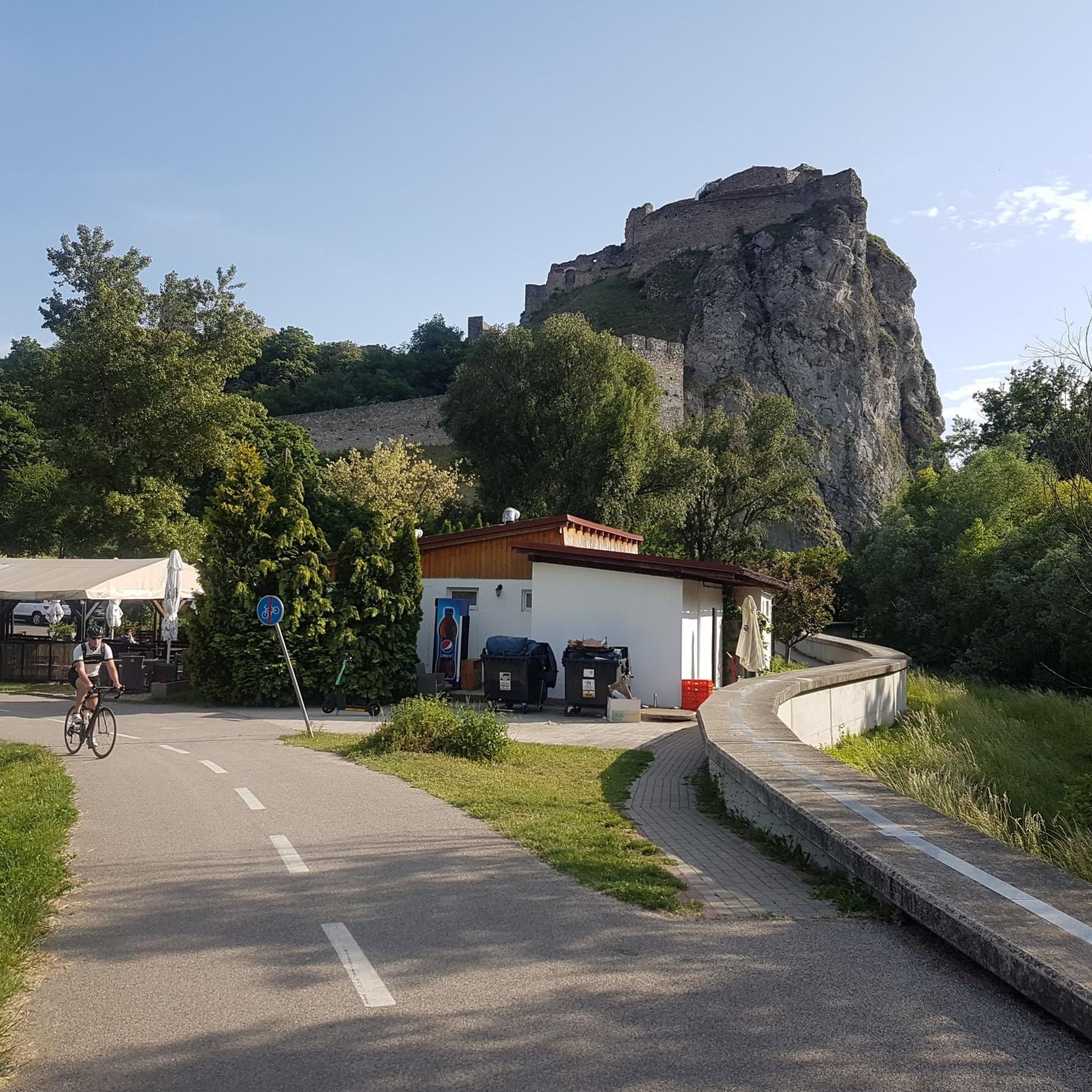
City hikes in Kirkeneshalvøya Dyrelivsfredning
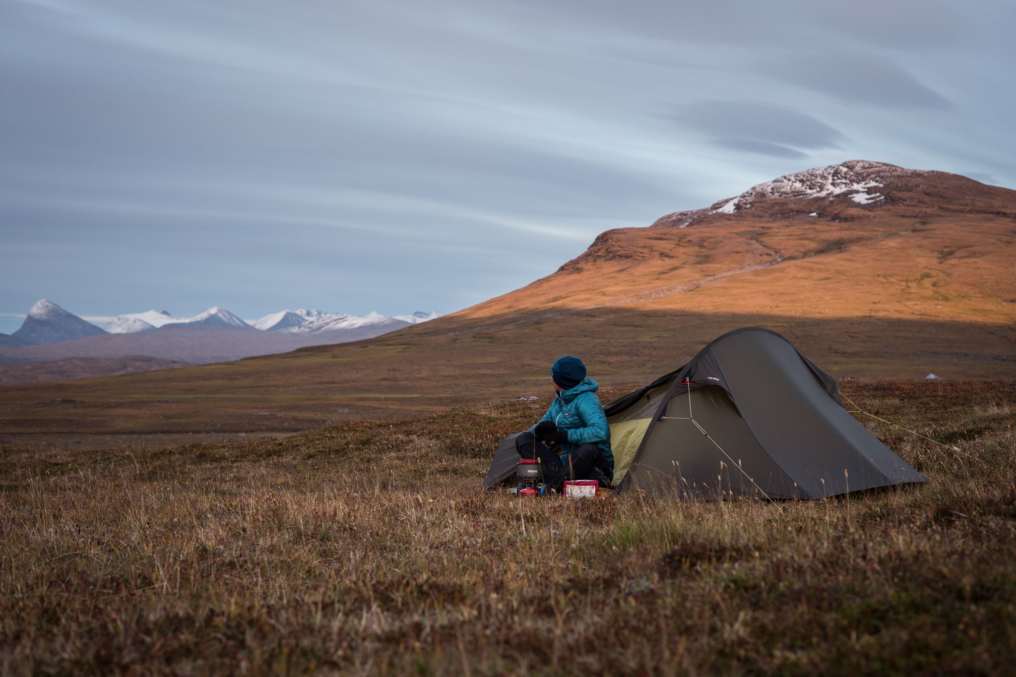
The Nordkalottleden — At the edges of the polar circle
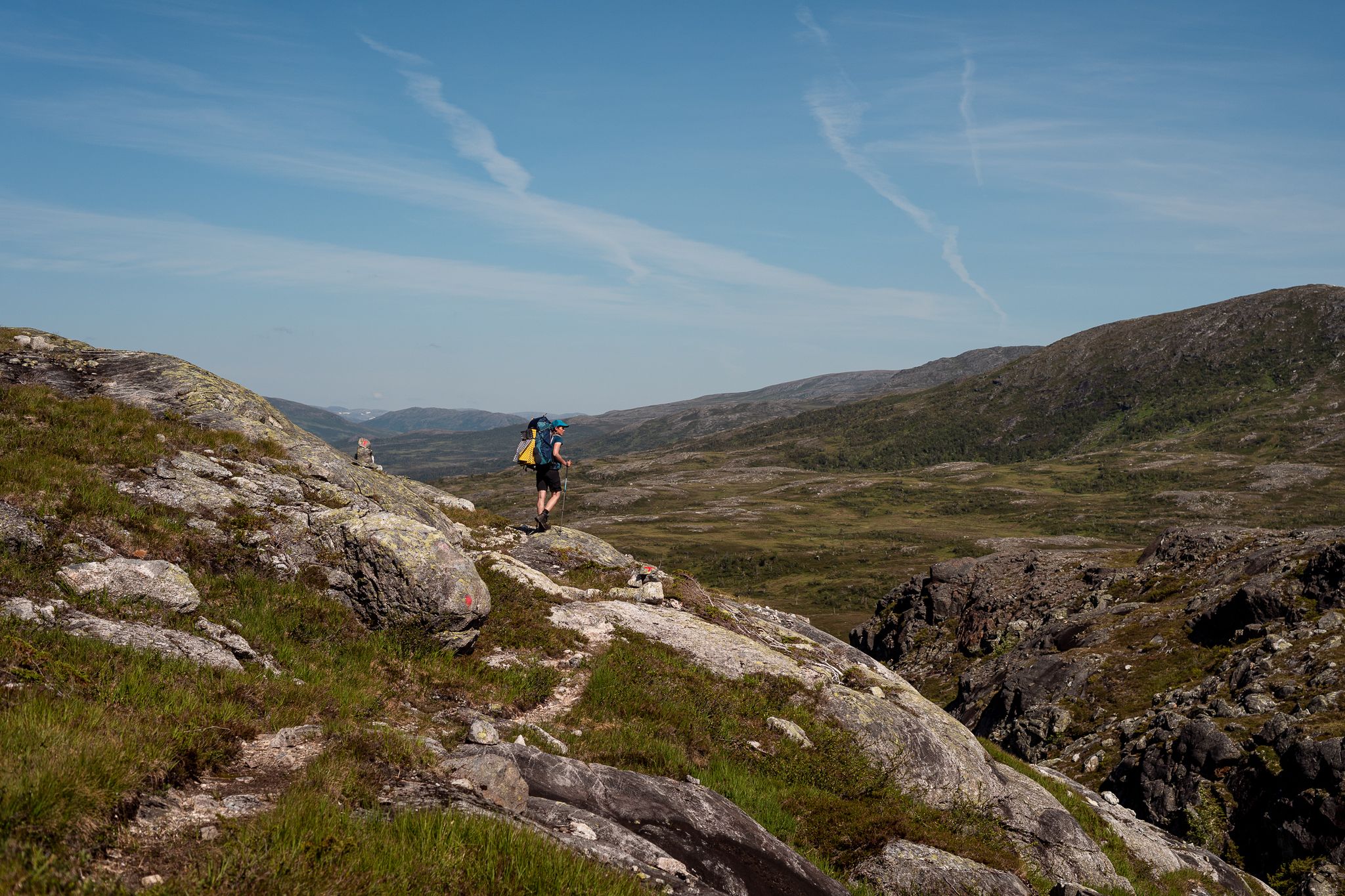
Norge på Langs – The length of spectacular Norway on foot

European Divide Trail — 7,600 km across the continent
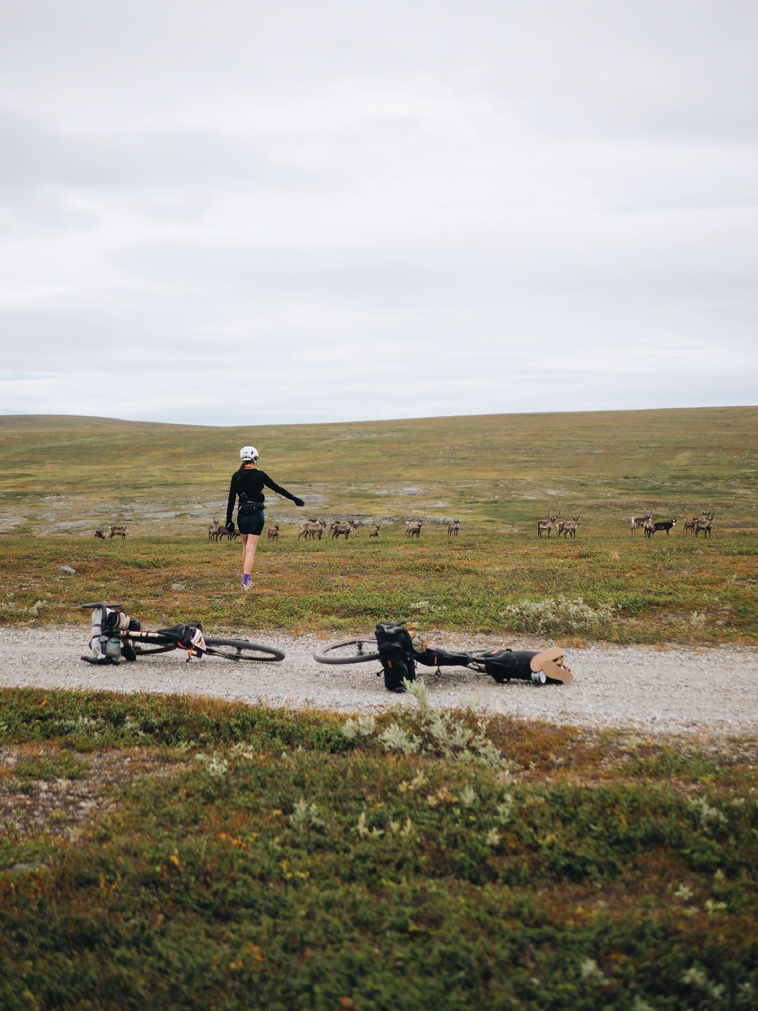
Arctic Post Road

Naples to North Cape — Two friends, one purpose and many scoops of ice-cream
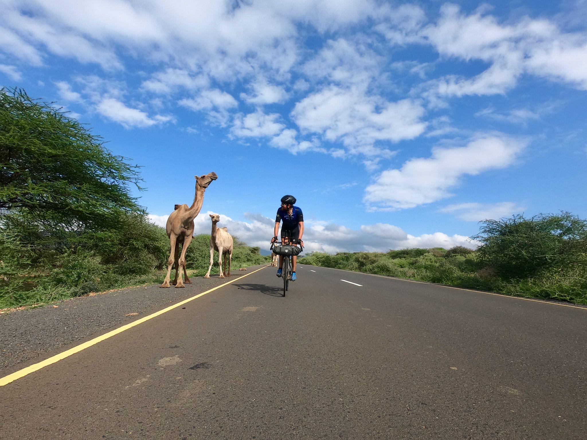
Cape to Cape Challenge – 18,000km in 73 days
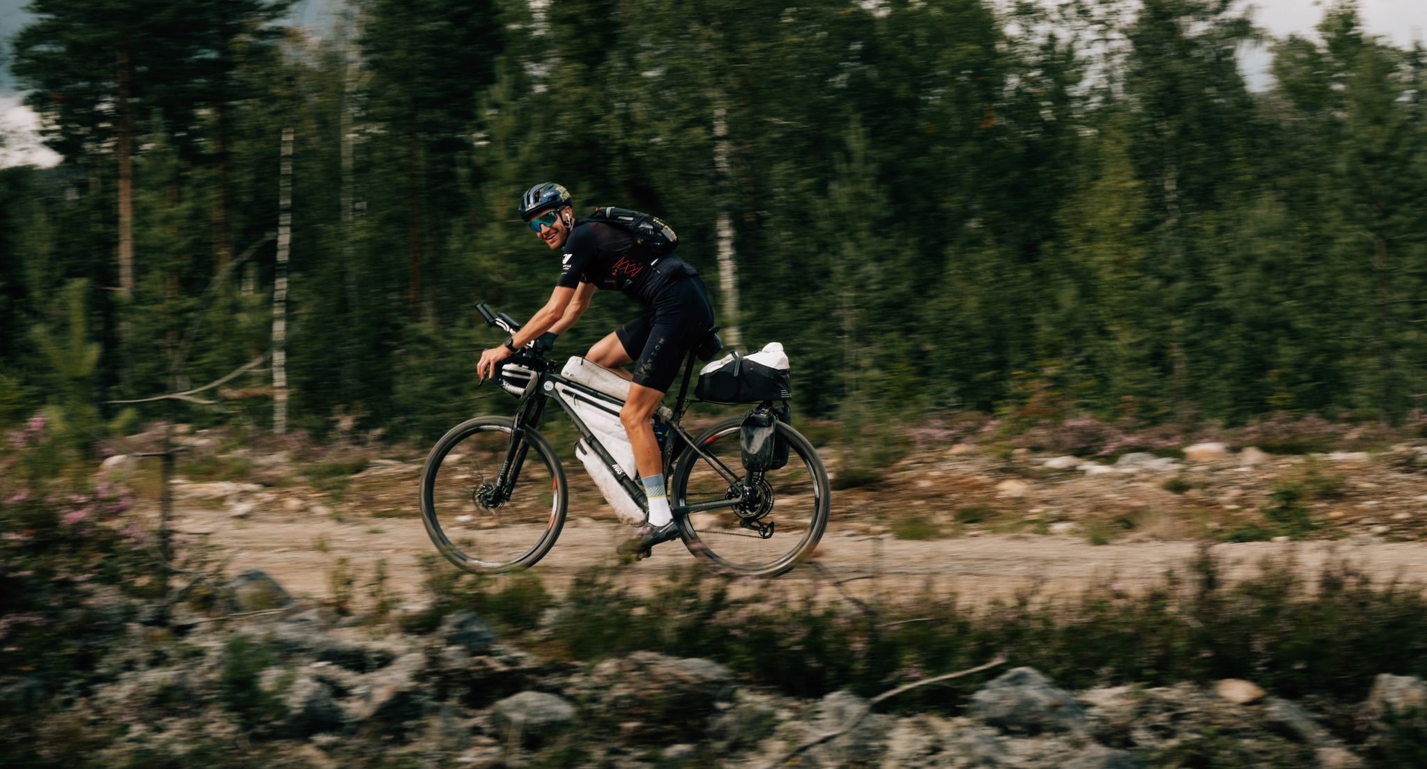
European D̶I̶V̶I̶D̶E̶ Connect Trail Project – a journey across Europe
Other adventures in Ruija region


Tips from the Community

The Struve Geodetic Arc was the first technical-scientific object to be inscribed on the UNESCO World Heritage List. The arc was determined using angle measurements from a chain of triangles (triangulation) extending from Hammerfest in the north to the Black Sea in the south. Four of these measuring points are located in Finnmark. The meridian column marks the northernmost measuring point at Fuglenes in Hammerfest.
1
0
The Andersgrotta is a World War II air-raid shelter located in the center of Kirkenes. Civilians sought refuge here during the more than 300 air raids against Kirkenes. In the Andersgrotta, you can watch a film about Kirkenes during the war, based on archival and newly filmed footage.
1
0

This is the king crab, the symbol of Kirkenes.
0
0

Arguably one of the oldest houses in Kirkenes. The city was the most heavily bombed in Norway during World War II.
0
0

70.7° north latitude: Hammerfest lies high in the north – and is teeming with life. Numerous Stone Age burial sites can be found here. Long before the town was granted market charter in 1789, Hammerfest was a bastion of fishing and hunting in the Arctic. Hammerfest was named after an old pier. The first part of the name, "hammer," refers to a collection of large rocks ideal for mooring boats. It derives from the Old Norse word "hamarr," meaning "steep mountain slope." The second part, "fest," derives from the Old Norse word "festr," meaning "to moor" (of boats). [Source: https://www.hurtigruten.com/de-de/haefen/hammerfest ]
1
0
The Struve Arc/Meridian Arc as a UNESCO World Heritage Site Since July 15, 2005, the entire Struve Arc/Meridian Arc has been a UNESCO World Heritage Site. Thirty-four representative measuring points were selected, including all participating countries. The northernmost measuring point, of course, is the one in Fuglenes/Hammerfest. With the inclusion of the Struve Arc in the UNESCO World Heritage List, this listing also marked the first time a scientific project has been carried out. [Source: https://weites.land/die-struve-saeule-meridian-monument-in-hammerfest-geschichte-des-meridian-bogen/ ]
1
0


Lots of construction going on around here at the moment!
0
0
Frequently Asked Questions
How many urban hiking trails are available in Ruija region?
There are over 15 urban hiking trails in the Ruija region, with 16 routes rated as easy and 1 as moderate. This offers a wide range of options for city walks and accessible nature experiences.
What do other hikers enjoy most about urban hiking in Ruija region?
The komoot community highly rates urban hikes in the Ruija region, with an average score of 4.6 stars from over 1600 ratings. Hikers often praise the accessibility of these trails, the blend of cityscapes with natural river paths, and the ease of finding routes suitable for all skill levels.
Are there any easy urban hikes suitable for beginners or families in Ruija region?
Yes, many urban routes in the Ruija region are considered easy and are perfect for beginners or families. For example, the Ant Playground, Kirkenes – Kirkenes Church loop from Kirkenes is a short, gentle walk. The region's green footpaths, like those along the Cidacos Valley, also offer accessible and pleasant strolls through orchards and scenic areas.
Can I find circular urban hiking routes in Ruija region?
Absolutely. Many urban trails in the Ruija region are designed as circular routes, allowing you to start and end at the same point. Examples include the Kirkenes Town Square – Kirkenes Church loop from Kirkenes and the Kirkenes Church loop from Kirkenes, which offer convenient ways to explore the city and its surroundings.
What kind of landmarks or attractions can I see along urban hikes in Ruija region?
Urban hikes in the Ruija region often lead you past interesting landmarks and natural features. You might encounter historical sites, river views, and local parks. For example, you could explore areas near the Honningsvåg Harbour or discover unique natural formations like the Kirkeporten Rock Arch. The region also features cultural monuments such as the North Cape Globe and the Northern Lights Cathedral.
Are there urban hiking trails in Ruija region that are dog-friendly?
Many urban trails in the Ruija region are suitable for walking with dogs, provided they are kept on a leash and you follow local regulations. River paths and green spaces often welcome pets. Always check specific trail signage for any restrictions.
What are the best seasons for urban hiking in Ruija region?
The best seasons for urban hiking in the Ruija region are generally spring, summer, and early autumn when the weather is mild and pleasant. These seasons offer comfortable temperatures for walking and allow you to fully enjoy the city's green spaces and river views. Winter can also be an option for those who enjoy crisp, cold walks, but be prepared for colder temperatures and potentially icy conditions.
Are there urban hikes in Ruija region with good viewpoints?
Yes, several urban hikes in the Ruija region offer excellent viewpoints, allowing you to appreciate the cityscapes and surrounding natural beauty. While specific urban routes might not reach high mountain peaks, many paths along riverbanks or through elevated city parks provide scenic vistas. The region itself is known for viewpoints like the Fortress Castle of San Vicente de la Sonsierra, offering views of vineyards and the Ebro River, and the Mirador Puerta de Cameros in Islallana.
How long do urban hikes in Ruija region typically take?
Urban hikes in the Ruija region vary in length and duration. Shorter routes, like the Hurtigruten Pier in Hammerfest – Fuglenes Lighthouse loop from Hammerfest, can be completed in under an hour, while others, such as the Kirkenes Church – Kirkenes Town Square loop from Kirkenes, might take around 1.5 to 2 hours. This allows you to choose a walk that fits your available time and fitness level.
Are there any urban trails that pass by cafes or pubs in Ruija region?
Many urban hiking trails in the Ruija region are conveniently located near city centers or charming neighborhoods, making it easy to find cafes, pubs, and restaurants. Paths along riverfronts or through town squares often have establishments where you can stop for a refreshment or a meal before, during, or after your walk.
Is public transport available to access urban hiking trailheads in Ruija region?
Yes, urban hiking trailheads in the Ruija region are generally well-connected by public transport, especially in larger towns like Logroño. Buses and local services can often take you close to the starting points of many city walks, making them easily accessible without a car.
Where can I find parking for urban hikes in Ruija region?
Parking for urban hikes in the Ruija region is typically available in or near city centers and residential areas. Depending on the specific trailhead, you might find street parking, public car parks, or designated parking areas for parks and attractions. It's advisable to check local parking regulations and availability for your chosen route.
Most popular routes in Ruija region
Most popular attractions in Ruija region

Get inspired with the komoot mobile app


Didn’t find what you were looking for?
Check out more Hikes throughout Ruija region below and find the perfect route in your destination.
Explore more
Browse the best Hikes in other regions.
