The best mountain hikes around Arta Terme
5.0
(4)
38
hikers
3
hikes
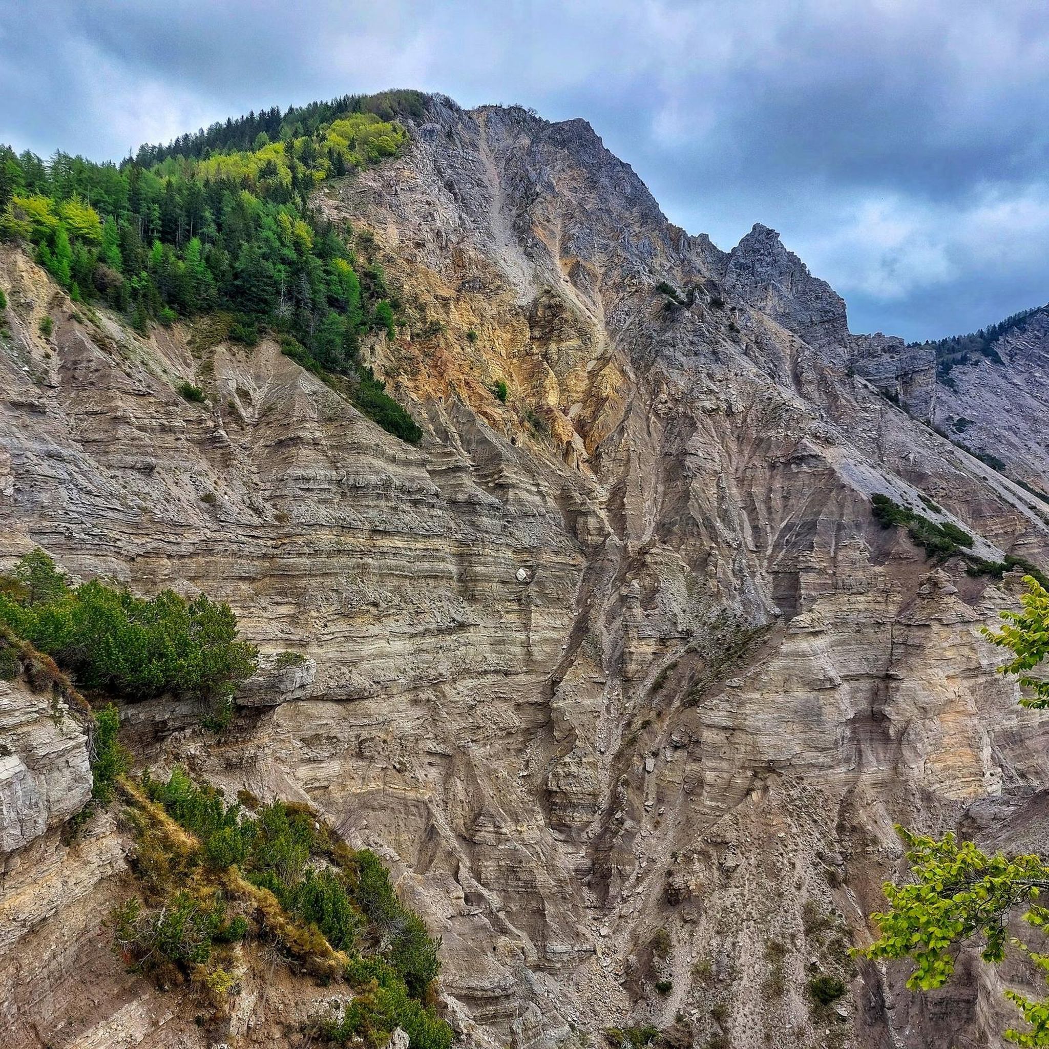
Mountaineering routes around Arta Terme are situated within the Carnic Alps, offering a diverse and challenging landscape. The region is characterized by rugged terrain, significant elevation changes, and prominent peaks such as Monte Zoncolan, Mount Zermula, and Cima Chiavals. Valleys like Val But and Degano valley contribute to varied exploration opportunities, while features like Lago Avostanis add to the natural appeal for outdoor enthusiasts.
Best mountaineering routes around Arta Terme
- The most popular mountaineering route is Casera Promosio – Lago…
Last updated: August 1, 2026
5.0
(3)
24
hikers
3.39km
01:48
280m
280m
Hard mountaineering route. Great for any fitness level. Sure-footedness, sturdy shoes and alpine experience required.
5.0
(1)
6
hikers
12.3km
04:34
680m
680m
Moderate mountaineering route. Good fitness required. Mostly accessible paths. Sure-footedness required.

Sign up for free
5
hikers
11.6km
06:23
1,090m
1,090m
Hard mountaineering route. Very good fitness required. Sure-footedness, sturdy shoes and alpine experience required.
3
hikers
Moderate mountaineering route. Good fitness required. Mostly accessible paths. Sure-footedness required.
Our route recommendations are based on thousands of hikes, rides, and runs completed by other people on komoot.
Start today with a free account
Your next adventure awaits.
Login or Signup

Tips from the Community

Beautiful natural landscape, you can find roe deer. Path doable for marked.
0
1

Beautiful alpine lake reachable on foot or by bike via paths or dirt road that goes up from Castel Valdajer
0
0
Alpine lake reachable by bike or on foot along the paths or dirt road.
0
0

From the car park, the CAI 450 path is closed and abandoned due to a large landslide below the path. To get to the CAI 428a path, go up the small road and at the end of the climb, when the small road tends to descend, on the right is the connecting path to CAI 428a and CAI 450.
3
0
Sections of the path on the ledge on the high route.
1
0
From the top you can enjoy a 360° panorama of the mountains of the Carnic and Julian Alps.
1
0
The CAI Moggio high route is a high mountain route for expert hikers, the top of Mount Chiavals is mountaineering in some sections, therefore it must be approached with due caution and experience. Those who follow the high route can avoid the summit and stay on the CAI 425 path which passes below.
1
0
some passages on sharp crest.
1
0
Frequently Asked Questions
What kind of terrain can I expect on mountaineering routes around Arta Terme?
The mountaineering routes around Arta Terme are primarily situated within the Carnic Alps, offering a diverse and challenging landscape. You'll encounter rugged terrain, significant elevation changes, and prominent peaks like Monte Zoncolan, Mount Zermula, and Cima Chiavals. The area features a mix of high mountain peaks, verdant valleys, and an extensive network of trails, including old mule tracks.
Are there any moderate mountaineering routes suitable for those looking for a challenge without extreme difficulty?
Yes, there are moderate options available. For example, the Casera Promosio – Lago Avostanis loop from Casera Promosio / Promôs is a moderate 9.8 km trail that takes approximately 3 hours 52 minutes to complete, featuring significant elevation gain and leading to the picturesque Lago Avostanis. Another moderate option is the Mountaineering loop from Ligosullo / Liussjûl.
What are some of the more difficult mountaineering challenges in the Arta Terme region?
For experienced mountaineers seeking a significant challenge, the Arta Terme region offers several difficult routes. The Farina del Diavolo via ferrata loop from Villa Santina is a particularly challenging 3.4 km path that includes a via ferrata section, requiring technical climbing skills. Another demanding option is the Cima Chiavals (2089 m) – Alta Via CAI Moggio loop from Natura 2000 - Zuc dal Bor, which covers 11.6 km through high alpine terrain.
Are there any circular mountaineering routes around Arta Terme?
Yes, several routes are designed as loops, allowing you to start and end at the same point. Examples include the Casera Promosio – Lago Avostanis loop, the Farina del Diavolo via ferrata loop, and the Cima Chiavals (2089 m) – Alta Via CAI Moggio loop. These circular routes offer varied scenery without retracing your steps.
What natural attractions or landmarks can I see along the mountaineering routes?
The region around Arta Terme is rich in natural beauty. Along your routes, you might encounter features like the picturesque Lago Avostanis. Additionally, the area boasts stunning gorges such as Las Callas Gorge and The Las Calas Gorge. You can also explore trails within the Val Alba Regional Nature Reserve, offering diverse natural environments.
Are there any mountain passes or climbs of note in the vicinity of Arta Terme?
Yes, the region is known for its challenging mountain passes and climbs. Notable ascents include the Monte Zoncolan Climb from Ovaro and the Monte Zoncolan Ascent from Sutrio. Other significant passes in the area include Passo del Cason di Lanza and Sella Cereschiatis, which offer breathtaking views and challenging terrain.
What do other mountaineers say about the routes in Arta Terme?
The mountaineering routes in Arta Terme are highly regarded by the komoot community, holding an average rating of 4.75 stars from over 8 reviews. Mountaineers frequently praise the rugged alpine peaks, the historical World War I routes, and the diverse valley landscapes that offer a wide range of experiences for various skill levels.
How many mountaineering routes are available in the Arta Terme area?
There are 5 distinct mountaineering routes available around Arta Terme, catering to different skill levels with both moderate and difficult options.
Is it possible to do multi-day mountaineering treks in the Arta Terme region?
Yes, the presence of shepherd's huts and shelters throughout the mountains makes multi-day treks feasible. These provide essential resting and resupply points, allowing adventurers to explore the extensive network of trails and remote areas for longer periods.
What is the typical duration for a mountaineering route in Arta Terme?
The duration varies significantly depending on the route's difficulty and length. For instance, a moderate route like the Casera Promosio – Lago Avostanis loop typically takes around 3 hours 52 minutes, while a more difficult and longer route such as the Cima Chiavals (2089 m) – Alta Via CAI Moggio loop can take approximately 6 hours 20 minutes.
Are there any routes that lead to high peaks or offer significant elevation gain?
Absolutely. Many routes in the Arta Terme area involve significant ascents and lead to high peaks. The Cima Chiavals (2089 m) – Alta Via CAI Moggio loop, for example, features over 1000 meters of elevation gain, taking you through high alpine terrain to the summit of Cima Chiavals.
Most popular routes around Arta Terme
Most popular attractions around Arta Terme

Get inspired with the komoot mobile app


Explore more
Browse the best Mountain Hikes & Routes in other regions.
