The best running trails around Pasian Di Prato
4.0
(5)
457
runners
46
runs
Jogging around Pasian Di Prato offers a network of routes primarily characterized by flat terrain and gentle gradients. The region features river valleys, such as the Cormor River, and natural reserves like Biotopo Prati del Lavia, providing varied scenery for runners. Paths often traverse local green spaces and connect to nearby towns, with minimal elevation changes.
Best jogging routes around Pasian Di Prato
- The most popular jogging route is Historic Center of Tavagnacco loop from Bluenergy Stadium, a 7.6…
Last updated: November 5, 2026
20
runners
13.0km
01:22
30m
30m
Moderate run. Good fitness required. Mostly paved surfaces.
22
runners
14.4km
01:29
40m
40m
Moderate run. Good fitness required. Mostly paved surfaces.

23
runners
Moderate run. Good fitness required. Mostly paved surfaces.
16
runners
5.89km
00:36
20m
20m
Moderate run. Good fitness required. Mostly paved surfaces.
5.0
(1)
13
runners
15.0km
01:36
110m
110m
Hard run. Very good fitness required. Mostly paved surfaces.
Get access to more routes and recommendations from other explorers.
Already have an account?
Our route recommendations are based on thousands of hikes, rides, and runs completed by other people on komoot.
Start today with a free account
Your next adventure awaits.
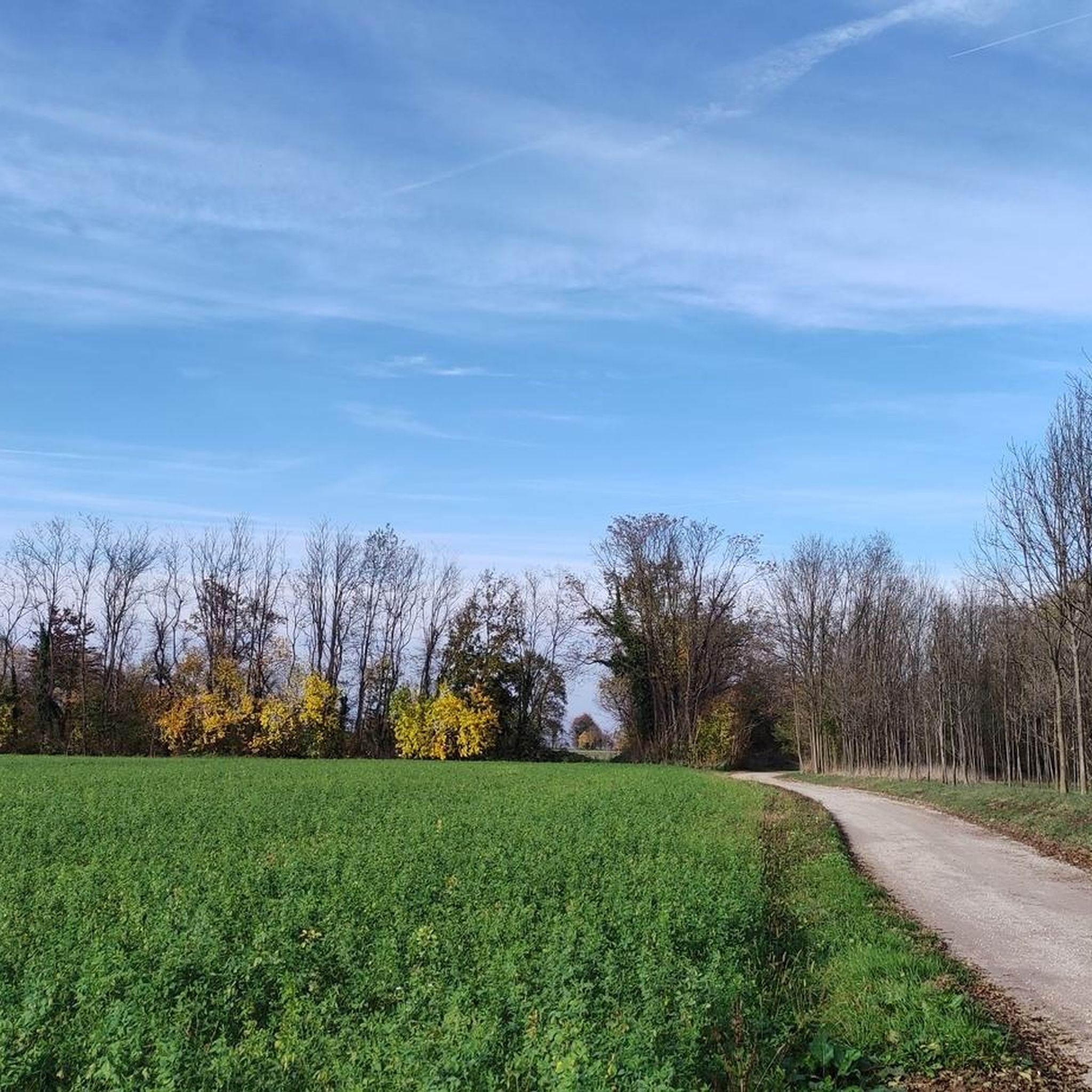

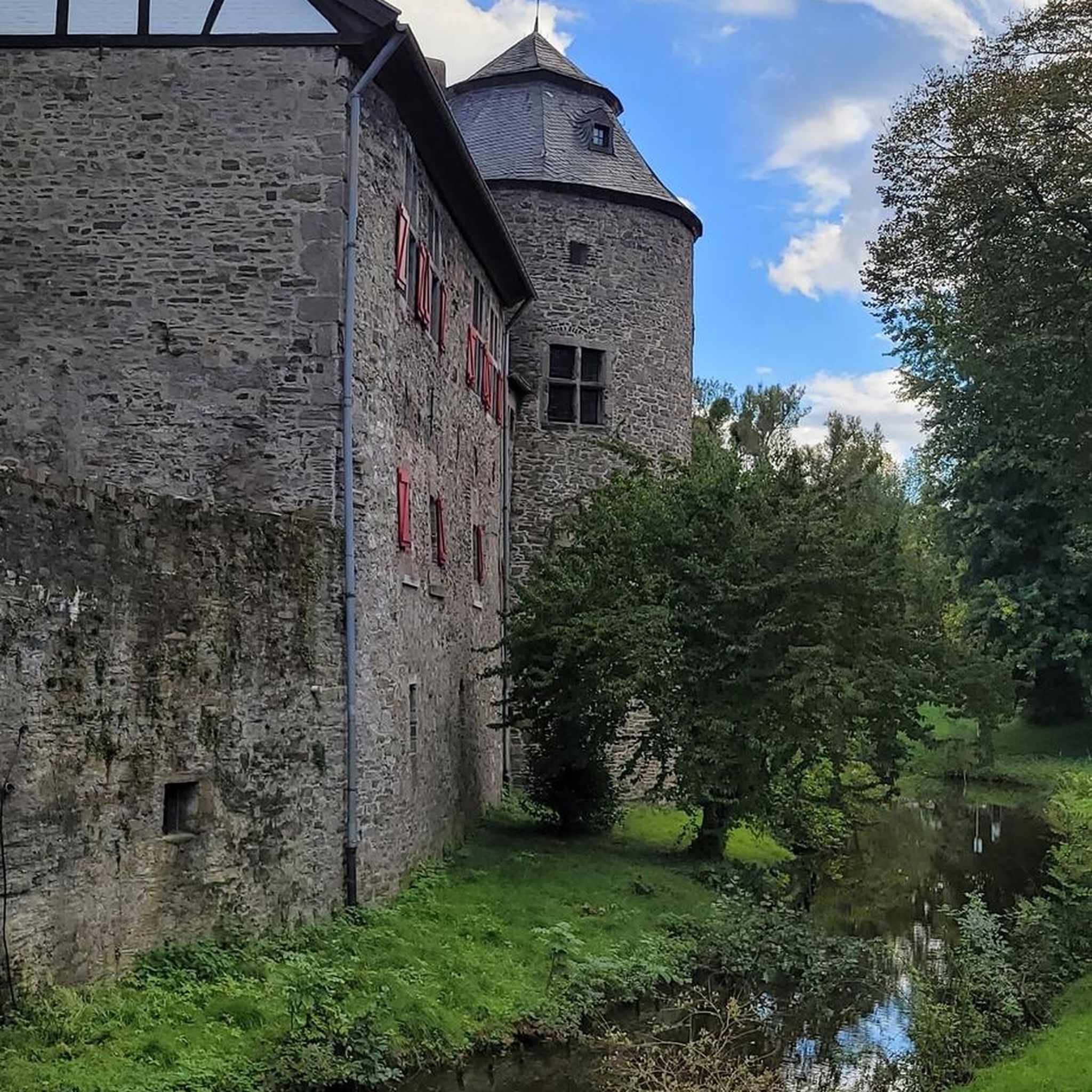
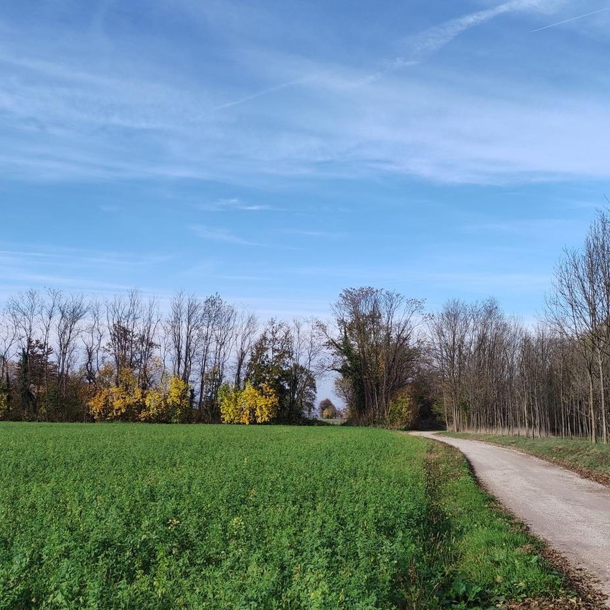
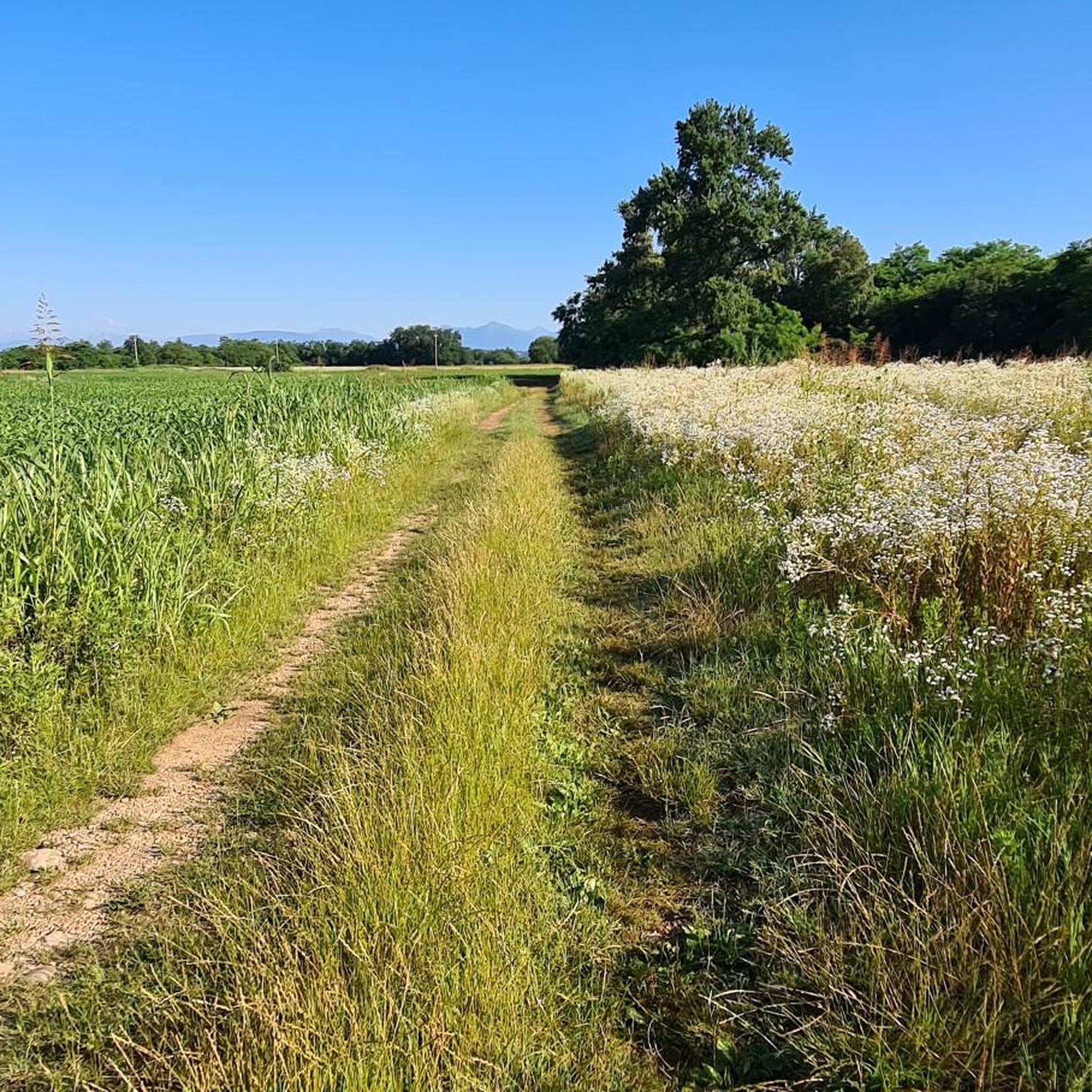
Tips from the Community

very fun, XC trail that can be ridden in both directions in parts
0
0

This route is not in the province of Belluno!!! It's in the province of Udine
0
0

Look at the photos, because it is a Journey of the Heart ❤️
0
0

It is in the province of Udine on Friday not Belluno and the description is totally wrong
1
0

The Sentiero Stringher-Tacoli is a fascinating hiking trail that connects the Municipality of Belluno to the Rifugio Tacoli. The trail winds through coniferous forests and meadows, offering magnificent views of the surrounding mountains and the city of Belluno. With a duration of about 3-4 hours, it is an itinerary suitable for medium-level hikers, which allows you to immerse yourself in the nature and history of the area. The trail takes its name from Luigi Stringher, a well-known local character, and offers the opportunity to discover a little-known corner full of beauty and tranquility.
0
10

Nice place surrounded by nature
1
0
Beautiful church with a nice view near Udine
1
0

Former military position that is now used for festivities.
1
0
Frequently Asked Questions
How many running routes are available in Pasian Di Prato?
There are over 45 running routes available around Pasian Di Prato, catering to various fitness levels. The majority are moderate, with some easier and more challenging options.
What kind of terrain can I expect on the running trails in Pasian Di Prato?
The running trails in Pasian Di Prato are primarily characterized by flat terrain and gentle gradients. You'll find paths traversing river valleys, such as the Cormor River, and local green spaces, with minimal elevation changes.
Are there options for longer distance running in the area?
Yes, Pasian Di Prato offers several long-distance running paths. For example, the Valle del Cormor – Cormor River Ford loop from Bluenergy Stadium is a challenging 9.6-mile (15.4 km) route exploring riverine landscapes.
Are there easy running routes suitable for beginners in Pasian Di Prato?
Yes, Pasian Di Prato has easy jogging routes perfect for beginners. The region's generally flat terrain makes it accessible. While specific beginner routes aren't highlighted, many of the moderate trails can be enjoyed at a leisurely pace.
What natural sights can I see while running in Pasian Di Prato?
Many running routes pass through natural reserves like Lazzacco Peat Bog Nature Reserve and Biotopo Prati del Lavia. You might also encounter the The Tumbule of Foscjan, a historical site within a natural setting.
Are the running routes in Pasian Di Prato typically circular?
Many of the popular running routes in Pasian Di Prato are designed as loops, offering a convenient way to start and finish at the same point. Examples include the Running loop from Pasian di Prato / Pasian di Prât and the Biotopo Prati del Lavia loop from Colloredo di Prato / Colorêt di Prât.
What do other runners enjoy most about jogging in Pasian Di Prato?
The running routes in Pasian Di Prato are highly rated by the komoot community, with an average score of 4.6 stars from 16 reviews. Runners often praise the varied scenery, including river valleys and green spaces, and the well-maintained paths.
Are dogs allowed on the running trails in Pasian Di Prato?
Generally, dogs are welcome on many outdoor trails in the region, especially if kept on a leash. However, it's always advisable to check local regulations for specific nature reserves or protected areas you plan to visit.
When is the best time of year to go running in Pasian Di Prato?
Pasian Di Prato offers pleasant running conditions for much of the year. Spring and autumn provide mild temperatures and beautiful scenery. Summer mornings and evenings are also popular, while winter running is possible on clear days, though some paths might be muddy after rain.
Can I find cafes or refreshments along the running paths?
While many routes traverse natural areas, Pasian Di Prato and nearby towns offer cafes and shops where you can find refreshments. It's recommended to plan your route and carry water, especially on longer runs, as amenities might not be directly on every trail.
Are there any historical landmarks visible from the running routes?
Yes, some routes offer glimpses of historical sites. For instance, the Historic Center of Tavagnacco loop from Bluenergy Stadium passes through the Historic Center of Tavagnacco itself, allowing you to combine your run with a touch of local history.
Is public transport available to access the running trails?
Pasian Di Prato is well-connected by local public transport, making it possible to reach various starting points for running routes. Checking local bus schedules for specific trailheads is recommended.
Most popular routes around Pasian Di Prato
Most popular attractions around Pasian Di Prato

Get inspired with the komoot mobile app


Explore more
Browse the best Running Trails & Routes in other regions.
