The 11 Most Amazing Peaks around Contà
Best mountain peaks around Contà, a municipality in Trentino, northern Italy, provide access to the Brenta Dolomites and the Adamello Brenta Natural Park. The area features notable peaks such as Monte Corno and Monte Sabbionare, offering panoramic views of the Val di Non. These mountains are integrated into a network of hiking trails and mountain refuges. The region is ideal for exploring diverse natural landscapes and experiencing the local mountainous terrain.
Best mountain peaks around Contà
- The most popular mountain…
Last updated: October 10, 2026
Graffer Hut at Grostè
Highlight • Mountain Hut
Translated by Google •
Tip by

Malga Kraun
Highlight • Mountain Hut
Translated by Google •
Tip by

Sign up now to discover places like this
Get recommendations on the best single tracks, peaks, & plenty of other exciting outdoor places.
Malga Tassulla
Highlight • Mountain Hut
Translated by Google •
Tip by

Corno di Tres
Highlight • Summit
Translated by Google •
Tip by

Claudio Costanzi Albasini Bivouac
Highlight • Mountain Hut
Translated by Google •
Tip by

Sign up for free to discover even more peaks around Contà.
Already have an account?
Start today with a free account
Your next adventure awaits.
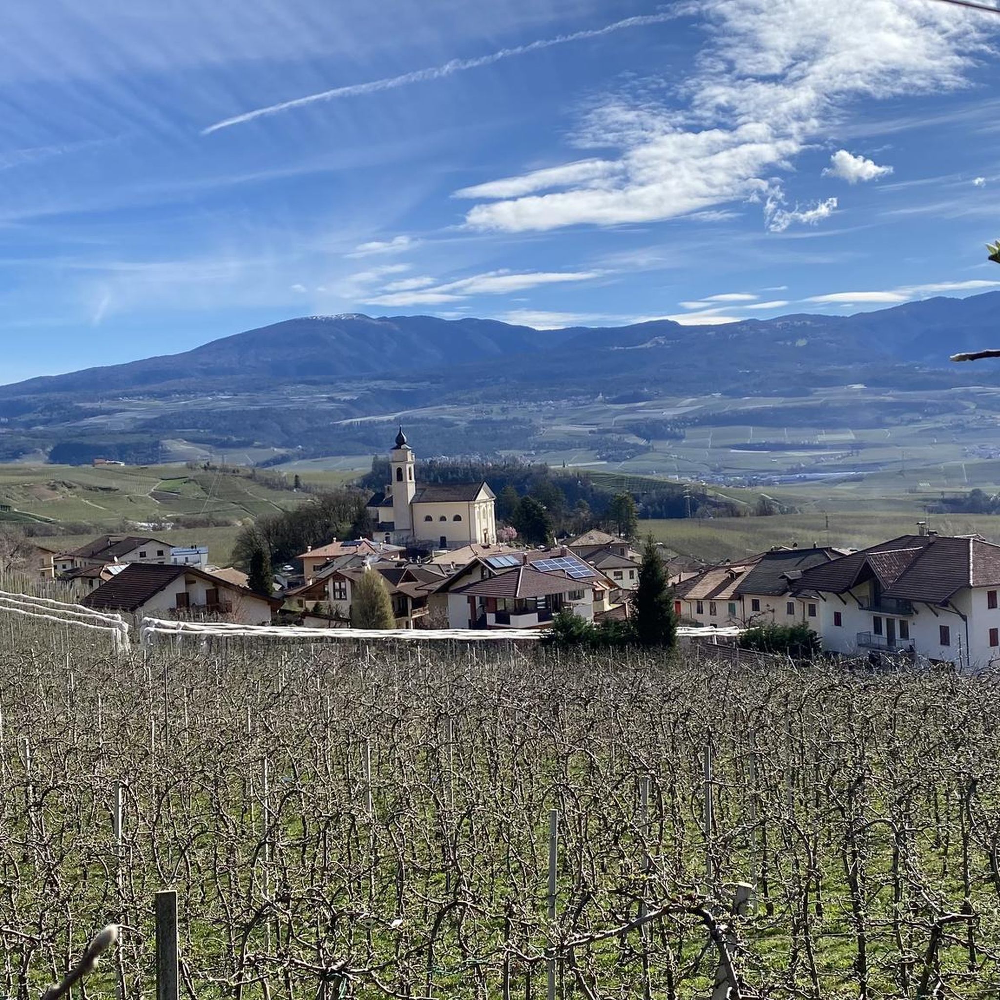
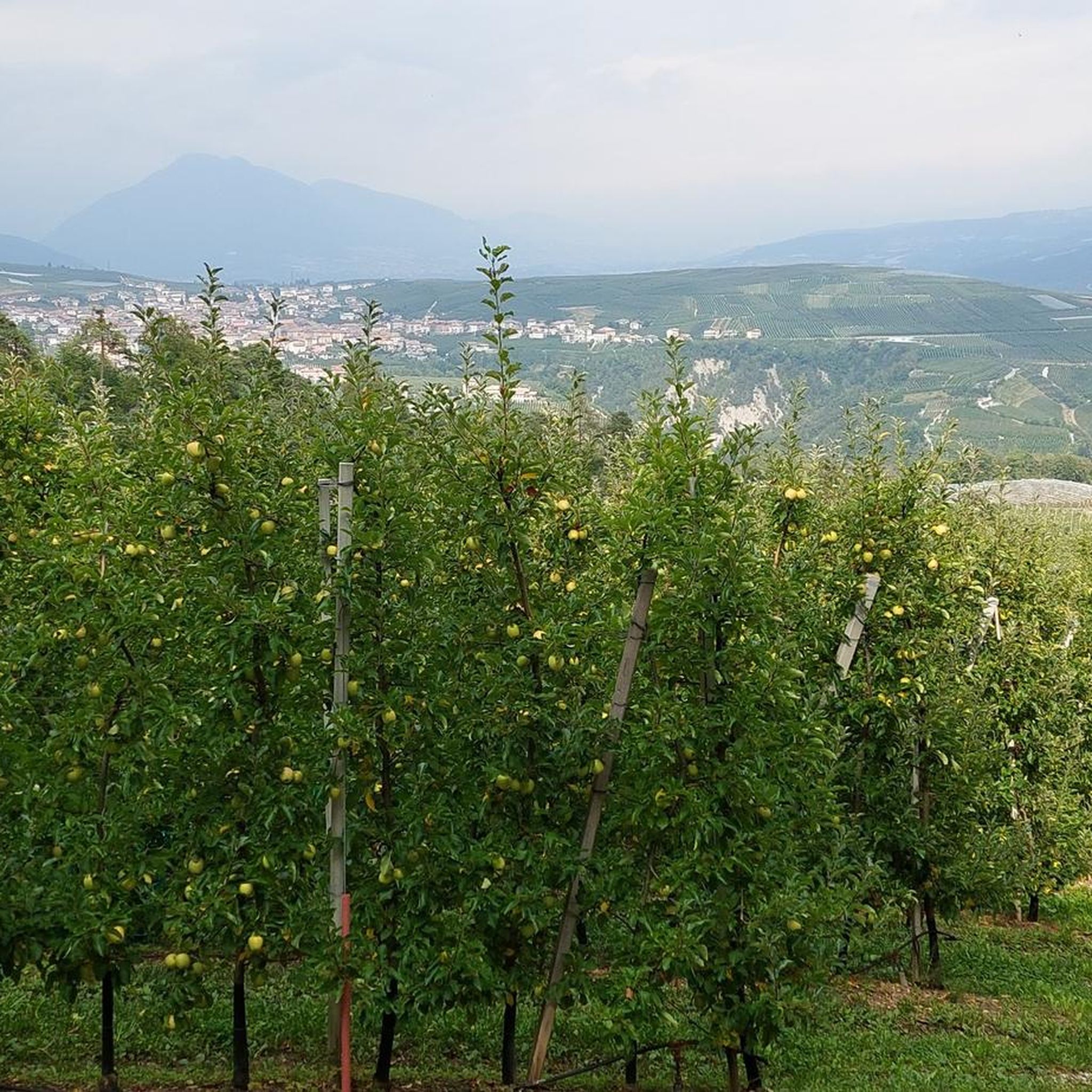
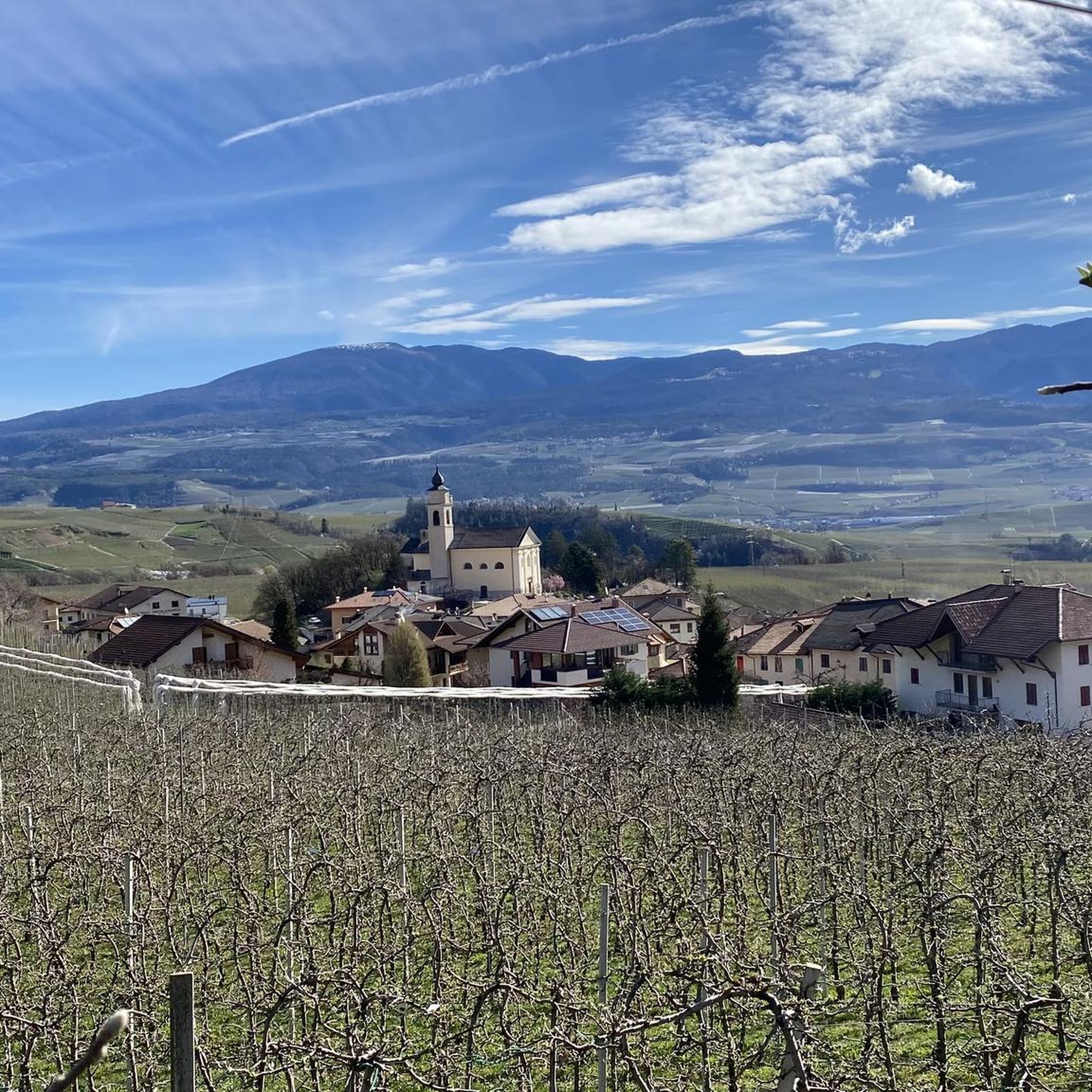
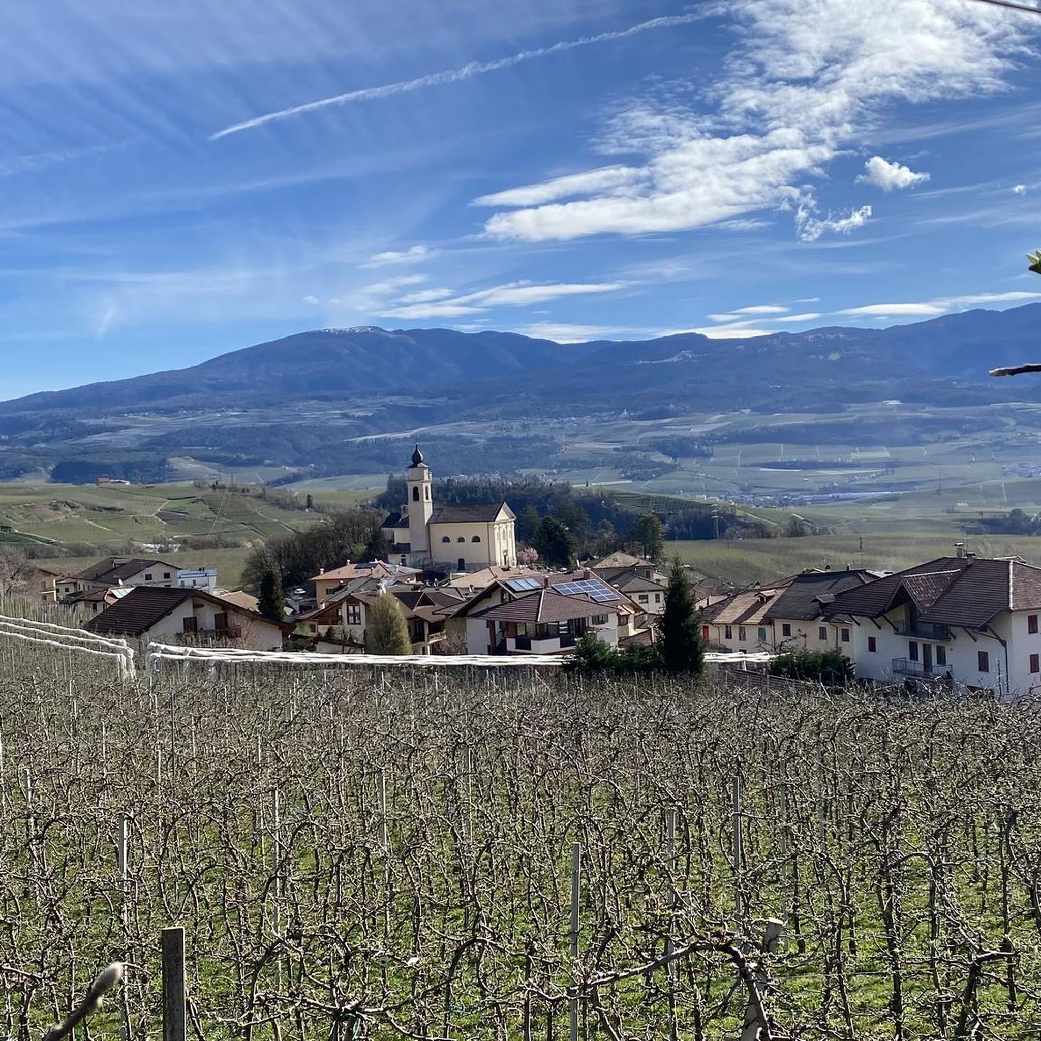


Tips from the Community


A very nice Malga. Food is delicious and people are very kind.
0
0

It's a very cozy bivouac. There's a spring nearby (5-10 minutes). It's also signposted. There's a canister in the bivouac, so it's best to bring it with you. The spring has been expanded so that water can be drawn from a single well. I was there on June 25, 2025. It hadn't rained before. No water came from the expanded spring. About 5 meters further on, the pipe seems to be broken. There's water there, but very little. It takes patience. With a small container for scooping, the water is easy to get.
1
0

Excellent food and a warm, welcoming staff that greets you with a smile and the inviting aroma of moka coffee, making you feel right at home. An experience to savor! Excellent food and a warm, welcoming staff that greets you with a smile and the inviting aroma of moka coffee, making you feel right at home. An experience to savor!
0
0

Beautiful peak that divides the Val di Non from the Adige Valley (both can be admired from the summit).
0
0

Small but beautiful summit, away from the main routes but with sensational views of the Ortler and the Dolomites...with a 360° panoramic metal disc at the summit for better orientation!
0
0

The Graffer Hut is an ideal starting point for tours in the Brenta Mountains.
25
0

From Malga di tres, a beautiful path that takes you to the top in 40 minutes, then a 10-minute trail to do uphill on an ebike, all in the saddle with a wonderful arrival at the top of the horn (avoid Sunday mornings
1
1
Frequently Asked Questions
What are the most prominent mountain peaks directly accessible from Contà?
Contà offers direct access to Monte Corno and Monte Sabbionare, both part of the Brenta Dolomites' Campa subgroup. Monte Corno stands at 1761 meters, while Monte Sabbionare reaches 1655 meters. Both provide stunning panoramic views of the Val di Non and are integrated into a network of hiking trails.
Are there any family-friendly hiking options around Contà's peaks?
Yes, the area around Contà offers several family-friendly options. For instance, the plateau at View of the Adige Valley from Monte di Mezzocorona, reachable by cable car, is a perfect place for family walks. Additionally, Malga Tassulla is surrounded by vast mountain pastures, offering a welcoming atmosphere for families to enjoy local cuisine and observe grazing animals.
What natural features and viewpoints can I expect to see near Contà?
The region boasts diverse natural beauty, including the dramatic karstic peaks of the Brenta Dolomites and the varied environments of the Adamello Brenta Natural Park. Key viewpoints include the View of the Adige Valley from Monte di Mezzocorona, offering expansive vistas. From Corno di Tres, you can enjoy sensational 360° views of the Ortler and Dolomites, dividing the Val di Non from the Adige Valley.
Are there mountain huts or refuges available for hikers near Contà?
Absolutely. The area is well-equipped with mountain refuges. Rifugio Doss della Quarta, located at 1653 meters, serves as a base for ascents to Monte Sabbionare and Monte Corno. Other notable huts include Rifugio Fontana in Pianezza and Graffer Hut at Grostè, which is an ideal starting point for tours in the Brenta Mountains and offers overnight stays. Malga Kraun also provides a welcoming refreshment point with typical Trentino cuisine.
What historical or cultural sites are near the mountain peaks of Contà?
While exploring the slopes of Monte Corno, you can discover the ancient ruins of Castel Corona, nestled within a grotto carved into the rock face of Dosso Corona. This adds a unique historical and intriguing element to the natural landscape.
What outdoor activities can I do near the mountain peaks of Contà?
Beyond hiking, the region around Contà offers a variety of outdoor activities. You can explore numerous routes for gravel biking, road cycling, and more challenging mountain hikes. For detailed routes, you can check out guides like Gravel biking around Contà, Road Cycling Routes around Contà, and Mountain Hikes around Contà.
When is the best time to visit the Brenta Dolomites and peaks around Contà for hiking?
The best time for hiking in the Brenta Dolomites and around Contà is generally from late spring to early autumn, typically June to September. During these months, the weather is usually favorable, trails are clear of snow, and mountain huts like Malga Tassulla are open, with animals grazing in the pastures.
Are there challenging mountain climbs available for experienced hikers?
Yes, the Brenta Dolomites offer challenging routes for experienced hikers, including parts of the Dolomiti di Brenta Trek and various via ferratas. The trail to the summit of Monte di Mezzocorona, for example, is known as one of the steepest in Trentino, providing a rewarding challenge with significant elevation gain.
What do visitors enjoy most about the mountain peaks around Contà?
Visitors particularly appreciate the stunning panoramic views, the well-maintained network of hiking trails, and the welcoming atmosphere of the mountain huts. The opportunity to immerse oneself in the natural beauty of the Brenta Dolomites and the Adamello Brenta Natural Park, combined with the region's rich history, makes for a memorable experience.
Can I find less crowded hiking options near Contà?
While popular spots attract many, areas like Corno di Tres are noted for being 'away from the main routes,' offering a beautiful summit experience with sensational views in a quieter setting. Exploring the trails around Monte Corno and Monte Sabbionare, especially outside peak hours, can also provide a more tranquil experience.
Is public transport available to reach hiking trailheads near Contà?
Information on specific public transport routes directly to all trailheads is limited, but Contà's central location in the Val di Non provides access to the broader regional transport network. For detailed planning, it's advisable to consult local transport schedules for connections within the Val di Non to reach various starting points for hikes.
Are there any specific permits required for climbing or hiking in the Brenta Dolomites near Contà?
Generally, permits are not required for standard hiking trails in the Brenta Dolomites or the Adamello Brenta Natural Park. However, for specific climbing routes, via ferratas, or multi-day treks involving overnight stays in certain refuges, it's always best to check with the local alpine clubs or refuge managers for any specific requirements or bookings.
Most popular routes around Contà
Most popular attractions around Contà

Get inspired with the komoot mobile app


Explore more
See even more amazing summits around Contà with these guides:
