The best mountain hikes around Contà
4.9
(43)
219
hikers
4
hikes
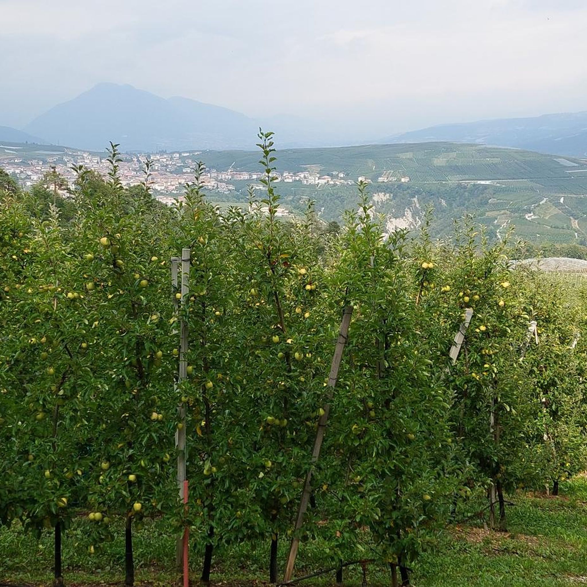
Mountaineering routes around Contà are situated in the Trentino region, characterized by its mountainous terrain, deep gorges, and dense forests. The landscape features prominent rock formations and offers access to scenic lakes and valleys. This area provides a variety of challenging ascents and trails that traverse diverse natural environments.
Best mountaineering routes around Contà
- The most popular mountaineering route is Giovanelli Gorge Via Ferrata – Tret Waterfall loop from Mezzolombardo, a 3.7 miles (6.0 km) trail that takes 3…
Last updated: October 22, 2026
4.9
(18)
97
hikers
5.98km
03:25
620m
620m
Hard mountaineering route. Good fitness required. Sure-footedness, sturdy shoes and alpine experience required.
5.0
(11)
19
hikers
2.72km
02:11
330m
330m
Hard mountaineering route. Good fitness required. Sure-footedness, sturdy shoes and alpine experience required.

3
hikers
14.0km
06:27
1,050m
1,050m
Hard mountaineering route. Very good fitness required. Sure-footedness, sturdy shoes and alpine experience required.
6
hikers
12.0km
05:06
620m
620m
Hard mountaineering route. Very good fitness required. Sure-footedness, sturdy shoes and alpine experience required.
5
hikers
3.70km
01:04
50m
50m
Moderate mountaineering route. Mostly walkable paths. Sure-footedness required.
Our route recommendations are based on thousands of hikes, rides, and runs completed by other people on komoot.
Start today with a free account
Your next adventure awaits.

Tips from the Community

Very rewarding via ferrata - can also be combined well with the Burrone and the Rio Secco https://www.via-ferrata.de/klettersteige/topo/via-ferrata-val-del-ri-mezzolombardo
0
0

A waterfall in the middle of the via ferrata is something special.
7
0
Rather easy via ferrata through an impressive karst gorge with many altitude meters.
7
0

Nice place and accessible to everyone
0
0
The Red Lake
0
0
Winter is even more beautiful
0
1

Impressive suspension bridge that is also a lot of fun for children.
1
0
Frequently Asked Questions
Are there any easy or beginner-friendly mountaineering routes in Contà?
While many routes in Contà are challenging, there is a moderate option available. The Red Bay (Lake Tovel) – Lake Tovel loop from Ville d'Anaunia is a 3.7 km trail that takes about 1 hour 4 minutes, offering a less strenuous experience around the scenic Lake Tovel.
What kind of challenges can I expect on mountaineering routes in Contà?
Contà is characterized by its mountainous terrain, deep gorges, and prominent rock formations, offering a variety of challenging ascents. Many routes feature via ferratas, such as the Giovanelli Gorge Via Ferrata – Tret Waterfall loop from Mezzolombardo, which includes a via ferrata through a gorge. Expect significant elevation changes and exposed sections on more difficult trails.
Is parking available near the mountaineering trailheads in Contà?
Routes often start from towns like Mezzolombardo or Ville d'Anaunia. While specific parking details are best checked on the individual tour pages, public parking facilities are generally available in these starting locations, allowing access to the trails.
Can I reach the mountaineering routes in Contà using public transport?
The region of Trentino has public transport options connecting its towns. For routes starting from Mezzolombardo or Ville d'Anaunia, it is advisable to check local bus or train schedules to plan your access to the trailheads. Specific public transport details for each route are usually available on the individual tour pages.
Are there any family-friendly mountaineering options in Contà?
The Red Bay (Lake Tovel) – Lake Tovel loop from Ville d'Anaunia is a moderate route that could be suitable for families looking for a less demanding experience. It offers scenic views around Lake Tovel without the extreme challenges of the via ferratas.
What is the best time of year for mountaineering in Contà?
The mountainous terrain of Contà is generally best explored during the warmer months, typically from late spring to early autumn, when trails are clear of snow and weather conditions are more stable. This allows for safe access to via ferratas and higher elevation paths.
Are there any circular mountaineering routes in Contà?
Yes, several routes in Contà are designed as loops. Examples include the Giovanelli Gorge Via Ferrata – Tret Waterfall loop from Mezzolombardo, the Tibetan bridge – Val del Rì via ferrata loop from Mezzolombardo, and the Lake Tovel loop from Ville d'Anaunia, offering varied experiences from via ferratas to scenic lake trails.
What interesting natural features or landmarks can I see along the mountaineering routes?
The routes in Contà offer access to stunning natural features. You can explore the Vidi Trail Via Ferrata, discover the scenic area around Lake Tovel, or encounter waterfalls like the Tret Waterfall. The region is also home to several mountain passes such as Grostè Pass and Predaia Pass.
Are there any huts or refuges available along the trails in Contà?
Yes, the area around Contà features several huts and bivouacs that can serve as resting points or overnight stays. Notable options include the Graffer Hut at Grostè, Peller Hut, and Malga Kraun.
What do other mountaineers enjoy most about the routes in Contà?
The mountaineering routes in Contà are highly rated by the komoot community, with an average score of 4.8 stars from over 30 reviews. Mountaineers often praise the diverse terrain, including challenging via ferratas, dense forested mountain trails, and picturesque lake surroundings, offering a variety of experiences for different skill levels.
Are there any routes that feature waterfalls in Contà?
Yes, the Giovanelli Gorge Via Ferrata – Tret Waterfall loop from Mezzolombardo specifically leads to a waterfall, offering a refreshing natural highlight along the trail.
How many mountaineering routes are available in the Contà area?
There are several mountaineering routes available in the Contà area, with komoot featuring a selection of 4 distinct tours. These routes cater to various difficulty levels, from moderate loops to challenging ascents.
Most popular attractions around Contà

Get inspired with the komoot mobile app


Explore more
Browse the best Mountain Hikes & Routes in other regions.
