The best walks and hikes around Trento
4.4
(3009)
17,207
hikers
602
hikes
Hiking around Trento offers access to diverse natural landscapes, from the dramatic peaks of the Dolomites to lush valleys and serene lakes. The region is characterized by high alpine terrain, extensive forests, and picturesque waterways. Hikers can explore a network of trails that traverse limestone cliffs, expansive plateaus, and rolling hills, providing varied experiences for different skill levels.
Best hiking trails around Trento
- The most popular hiking route is Giro del Sorasass: Historic WWI Loop from Cadine, a 3.8…
Last updated: August 17, 2026
4.8
(88)
363
hikers
6.18km
02:07
290m
290m
Embark on the Giro del Sorasass, a moderate 3.8-mile (6.2 km) loop that winds through thick woodland and historic landscapes near Cadine. You will gain 938 feet (286 metres) in…
4.4
(14)
64
hikers
10.4km
04:42
830m
830m
Begin your adventure on the Lagorai Range Trail (via SAT 413), a moderate hike that takes you deep into the wild Lagorai mountains. This route covers 6.5 miles (10.4 km)…

Sign up for free
4.3
(11)
116
hikers
5.87km
02:02
300m
300m
Sentiero della Croce offers a moderate hiking experience through varied landscapes. You will cover 3.6 miles (5.9 km) and gain 975 feet (297 metres) in elevation, taking about 2 hours…
4.6
(5)
30
hikers
12.0km
03:50
500m
500m
This moderate loop tour near Trento offers a varied hiking experience, covering 7.5 miles (12.0 km) with an elevation gain of 1625 feet (495 metres). You can expect to traverse…
4.8
(18)
90
hikers
15.8km
06:24
1,260m
1,260m
The Monte Marzola Loop Trail offers a difficult hiking experience, covering 9.8 miles (15.8 km) with a significant elevation gain of 4135 feet (1260 metres). You can expect varied terrain,…
Get access to more routes and recommendations from other explorers.
Sign up for free
Already have an account?
Our route recommendations are based on thousands of hikes, rides, and runs completed by other people on komoot.
Start today with a free account
Your next adventure awaits.
Login or Signup
Popular around Trento
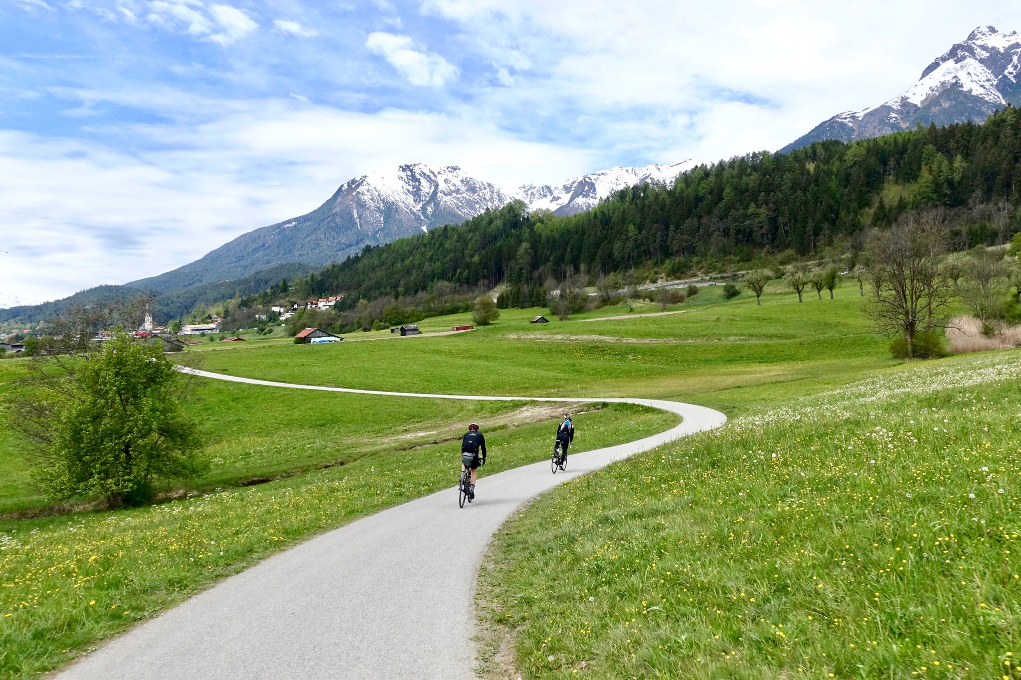
Rando Imperator — a road bike dream with gravel
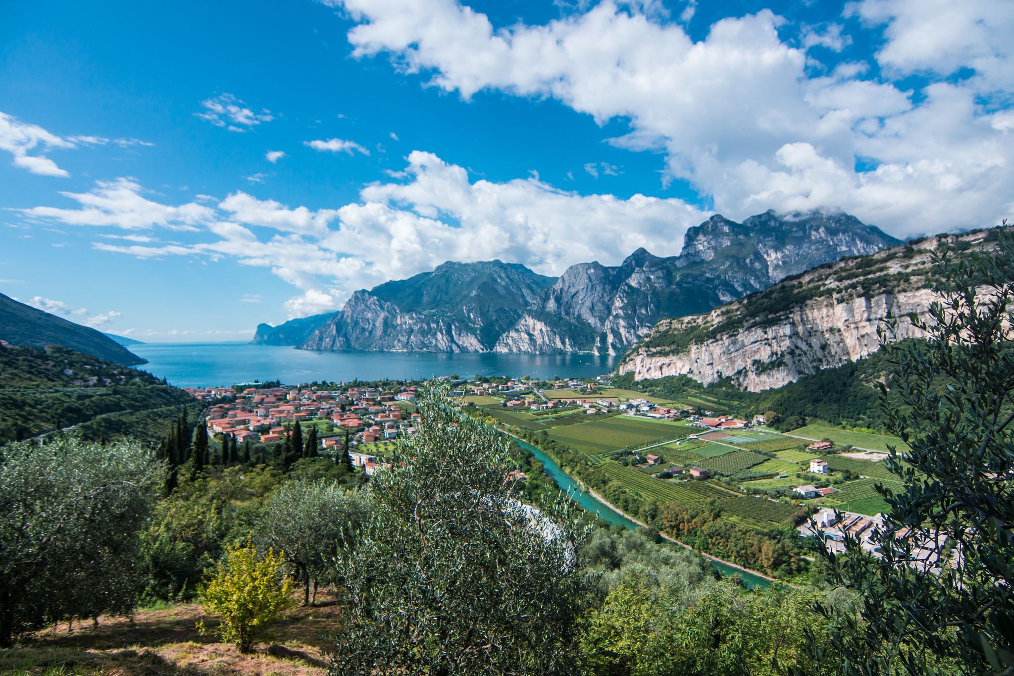
Via Claudia Augusta – Your first transalp
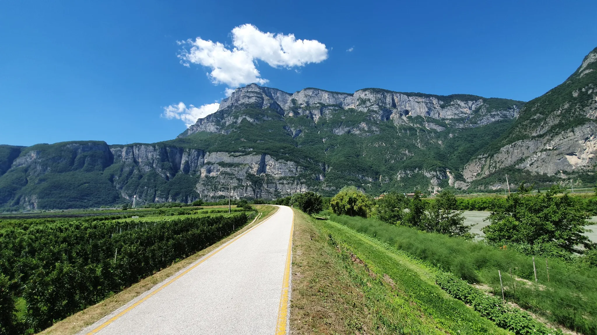
Ride a Roman road in Northern Italy – Claudia Augusta Cycle Path
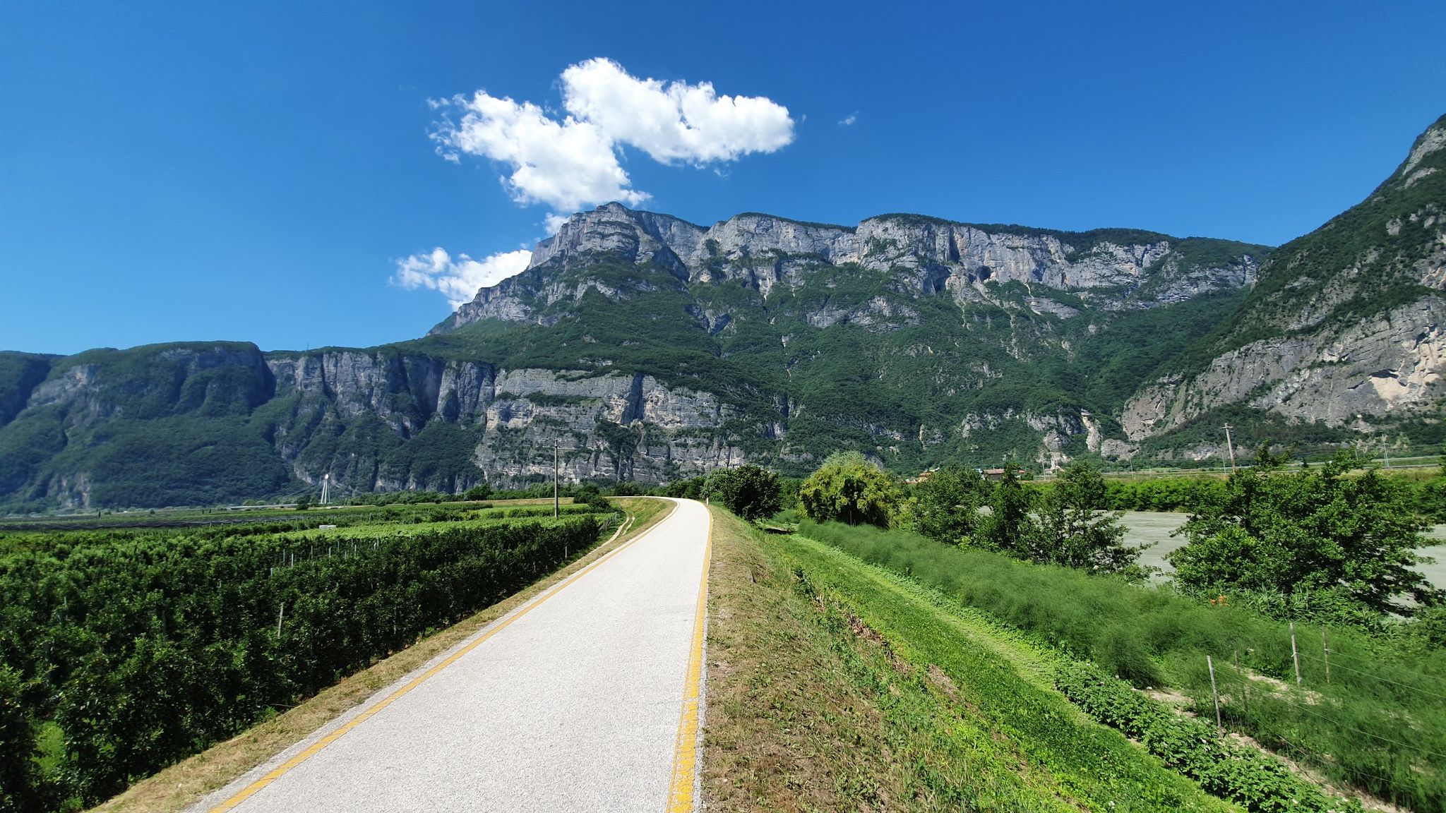
Ciclopista del Sole – Brenner Pass to Florence by bike
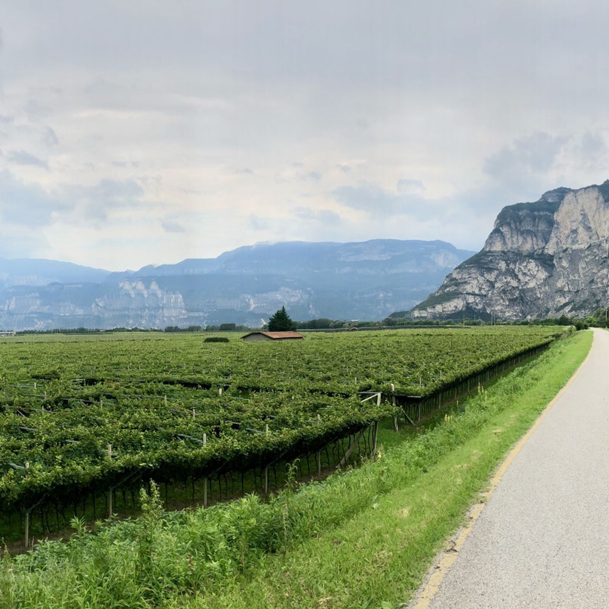
Cycling around Trento
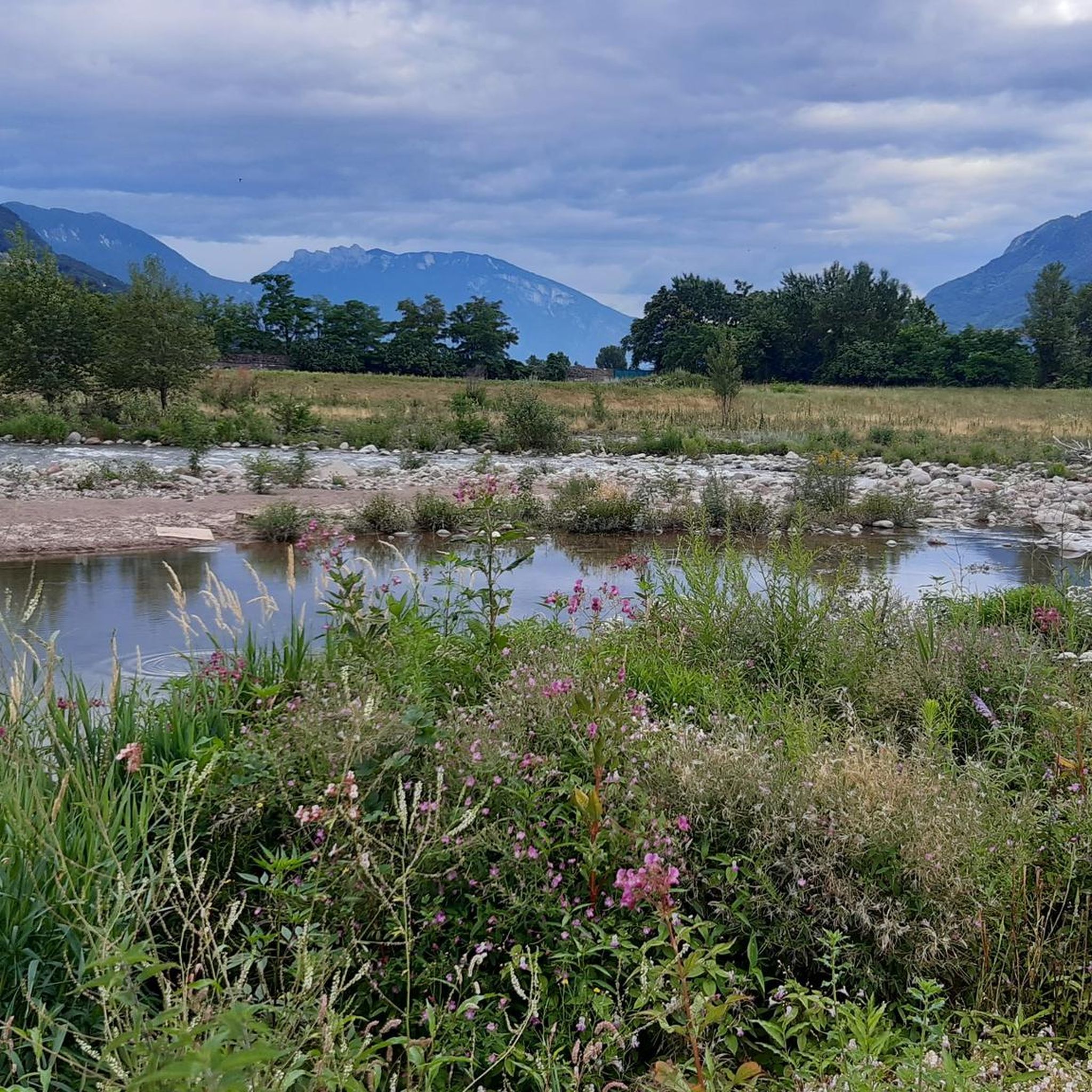
Road Cycling Routes around Trento
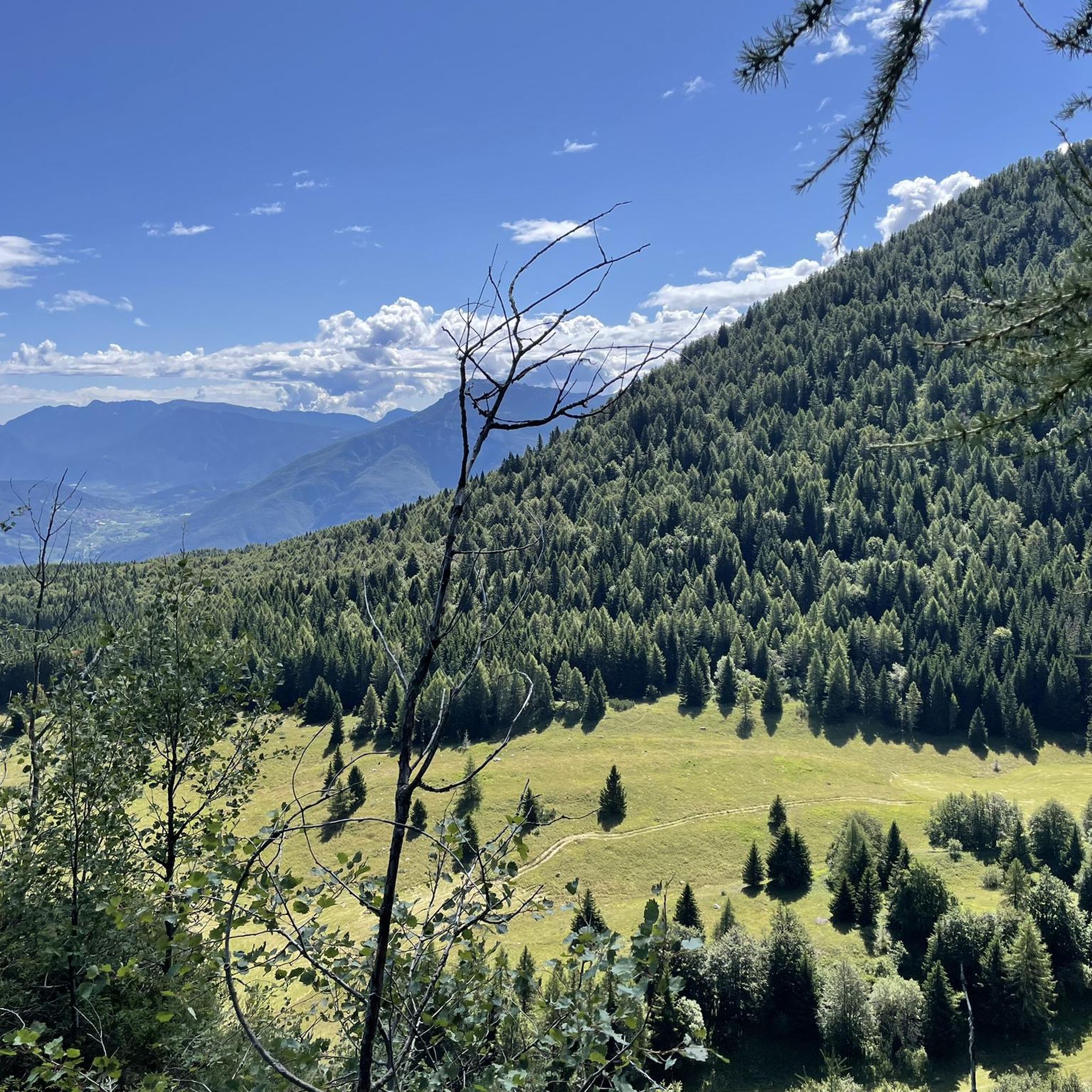
MTB Trails around Trento
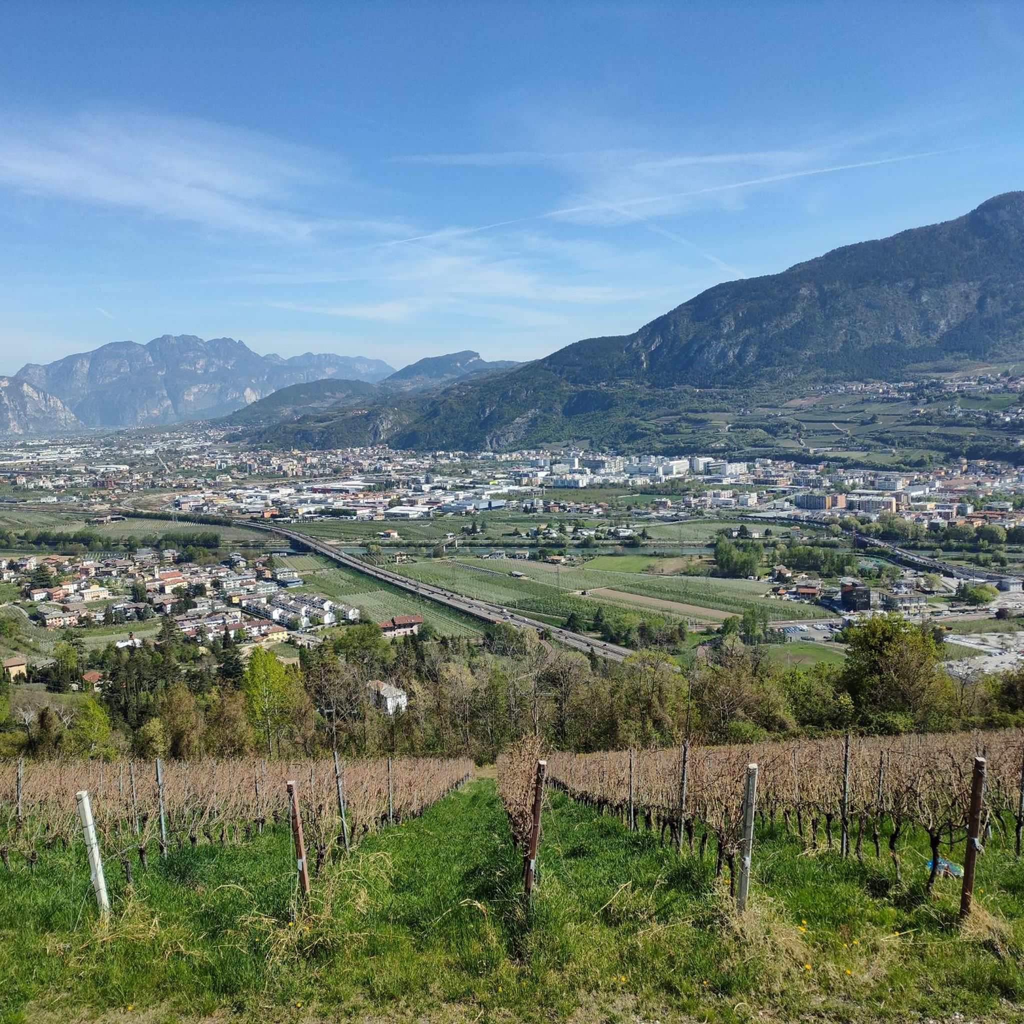
Running Trails around Trento

Mountain Hikes around Trento

Gravel biking around Trento
Other adventures around Trento


Tips from the Community

Near the large picnic area.
6
0
A great viewpoint with a view of the Etschtal valley.
6
0

The old shelters of the soldiers of the Great War
0
0
Viewpoint on the route. Very suggestive
0
0
Splendid view of the Adige valley
1
0

Dos Le Grave (or Doss de le Grave) is one of the most interesting natural areas in the Argentario Ecomuseum, in the Monte Calisio area. It features an important biotope that displays two extremely different environmental typologies: a wetland and an arid zone, located respectively at the foot and on the western flank of Dos. A characteristic of this small, semi-desert-like elevation is the striking presence of bonsai-like Scots pines growing on waste material from silver mining (an activity that affected the entire plateau from the 11th to the 15th century). The arid portion is in immediate contact with the wetland below. This peat bog was formed by the filling of a small lake basin. Small bodies of open water still remain from this basin.
1
0

Path not passable by bike
0
0
Frequently Asked Questions
How many hiking trails are available around Trento?
Trento offers a vast network of hiking trails, with nearly 600 routes recorded on komoot. These trails cater to all levels, from easy walks to challenging multi-day treks, traversing diverse landscapes including the Dolomites, lush valleys, and serene lakes.
What types of terrain can I expect on hikes near Trento?
The terrain around Trento is incredibly varied. You'll find high alpine environments in the Dolomites, extensive forests, rolling hills, and paths alongside picturesque waterways and lakes. Expect limestone cliffs, expansive plateaus, and even historical sites along routes like the Giro del Sorasass: Historic WWI Loop from Cadine.
Are there any family-friendly hiking options around Trento?
Yes, Trento has many trails suitable for families. The region offers numerous easy walks through valleys and around lakes. While specific family-friendly routes are not detailed here, you can find over 200 easy routes on komoot that are generally suitable for all ages.
Can I find circular hiking routes near Trento?
Absolutely. Many trails around Trento are designed as loops, allowing you to start and end at the same point. An example is the Walking near Trento — Loop tour, which covers about 12 km. The Marzola Loop Trail is another excellent circular option offering panoramic views.
What are some notable natural attractions or landmarks to see while hiking?
Trento's hiking trails often lead to stunning natural and historical landmarks. You can explore the majestic Dolomites, discover beautiful lakes like Lake Toblino, or visit impressive mountain peaks such as Cima Paganella and Monte Cornetto summit. The region is also home to historic castles like Pergine Castle and Drena Castle.
Are there any trails that feature waterfalls or canyons?
Yes, the Trentino region is known for its impressive water-sculpted landscapes. Hikers can discover the Gorg d'Abiss waterfall in Val di Ledro or explore the hidden worlds of tunnels, caves, and waterfalls within the Trentino canyons, such as the Rio Sass canyon in Val di Non. These natural features add a unique element to many hikes.
What is the best time of year for hiking around Trento?
The best time for hiking around Trento is generally from late spring to early autumn (May to October). During these months, the weather is milder, and the trails are typically free of snow, offering ideal conditions for exploring the diverse landscapes. Summer provides access to high alpine routes, while spring and autumn offer vibrant colors and pleasant temperatures for lower-altitude walks.
Are there mountain huts (rifugi) available for hikers in the region?
Yes, Trentino boasts over 146 mountain huts (rifugi) throughout the region. These huts provide essential services for hikers, including places to rest, enjoy regional delicacies, and even stay overnight. They are particularly useful for those undertaking multi-day treks in the Dolomites and other alpine areas.
What do other hikers say about the trails in Trento?
The hiking trails around Trento are highly regarded by the komoot community, with an average rating of 4.4 stars from over 2,200 reviews. Hikers frequently praise the diverse natural landscapes, from the dramatic Dolomites to serene lakes, and the well-maintained network of paths that cater to various skill levels.
Are there any specific trails known for panoramic views?
Many trails around Trento offer breathtaking panoramic views. The Lagorai Range Trail (via SAT 413) provides expansive vistas across the Lagorai mountain range. Additionally, the La Marzola ridge is known as a natural viewing balcony, offering stunning perspectives between two valleys.
Where can I find information about public transport to hiking trailheads?
While specific public transport details for individual trailheads are not provided here, Trento's regional transport network often connects to popular hiking areas. For detailed information on bus and train schedules to reach various trail starting points, it's recommended to consult local transport authority websites or the official Trentino tourism site: visittrentino.info.
Most popular routes around Trento
Most popular attractions around Trento

Get inspired with the komoot mobile app


Explore more
Browse the best Hikes in other regions.
