The best running trails around Collecchio
3.4
(37)
831
runners
52
runs
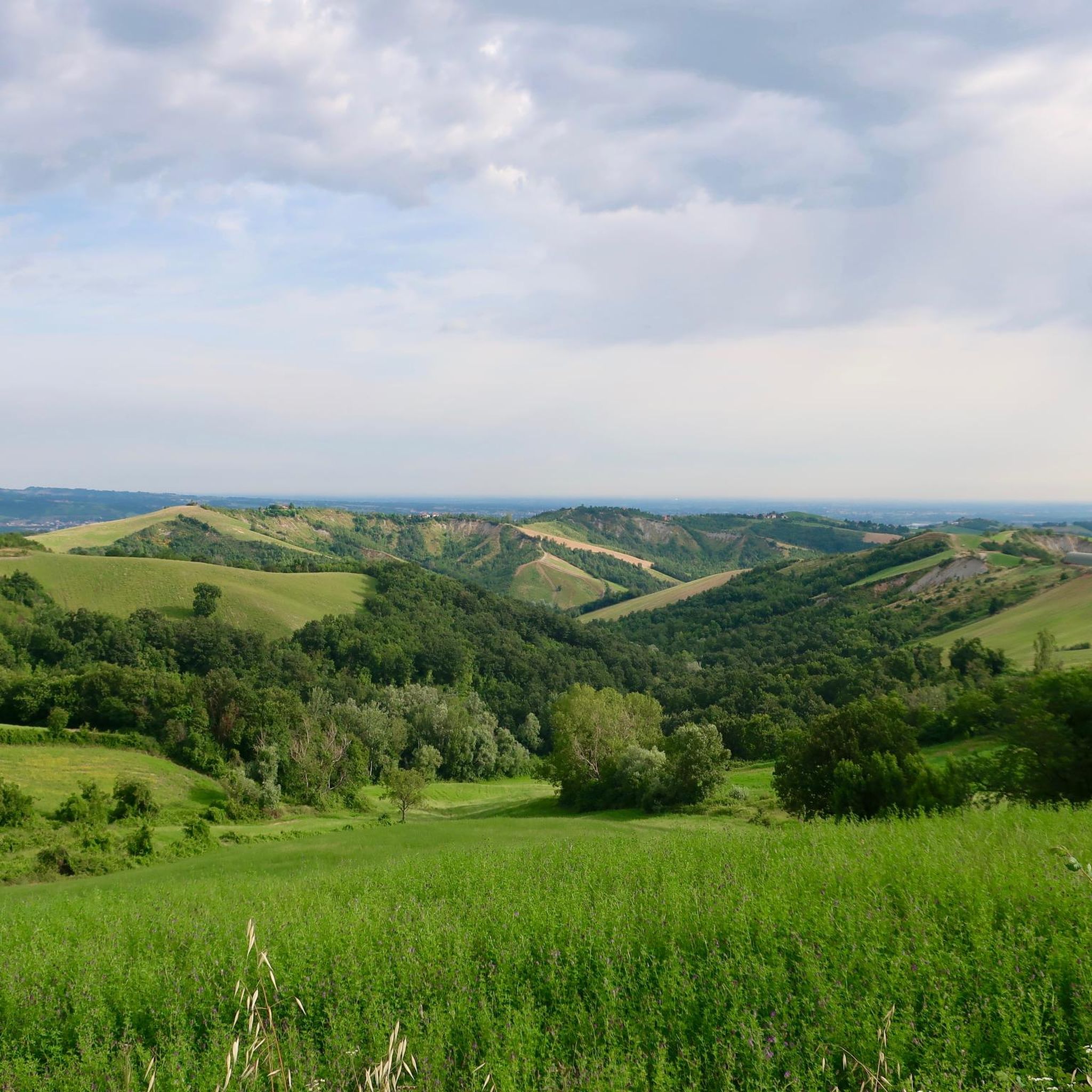
Jogging around Collecchio offers diverse terrain, situated between the gentle hills and expansive plains southwest of Parma. The region is characterized by extensive woodlands, including the ancient Carrega Woods Regional Park, and riverine environments along the Taro River. Runners can explore well-marked trails through forests, past artificial lakes, and across open parkland, providing varied landscapes for different fitness levels.
Best jogging routes around Collecchio
- The most popular jogging route is Lago della Svizzera – Casino dei Boschi loop from Collecchio…
Last updated: July 28, 2026
75
runners
Moderate run. Good fitness required. Mostly paved surfaces. Suitable for all skill levels.
5.0
(1)
71
runners
17.7km
02:01
230m
230m
Hard run. Very good fitness required. Mostly paved surfaces. Suitable for all skill levels.

Sign up for free
5.0
(1)
39
runners
21.9km
02:22
310m
310m
Hard run. Very good fitness required. Mostly paved surfaces. Suitable for all skill levels.
4.0
(1)
43
runners
15.5km
01:40
250m
250m
Hard run. Very good fitness required. Mostly paved surfaces. Suitable for all skill levels.
3.2
(5)
40
runners
7.08km
00:44
20m
20m
Moderate run. Good fitness required. Mostly paved surfaces. Suitable for all skill levels.
Get access to more routes and recommendations from other explorers.
Sign up for free
Already have an account?
Our route recommendations are based on thousands of hikes, rides, and runs completed by other people on komoot.
Start today with a free account
Your next adventure awaits.
Login or Signup
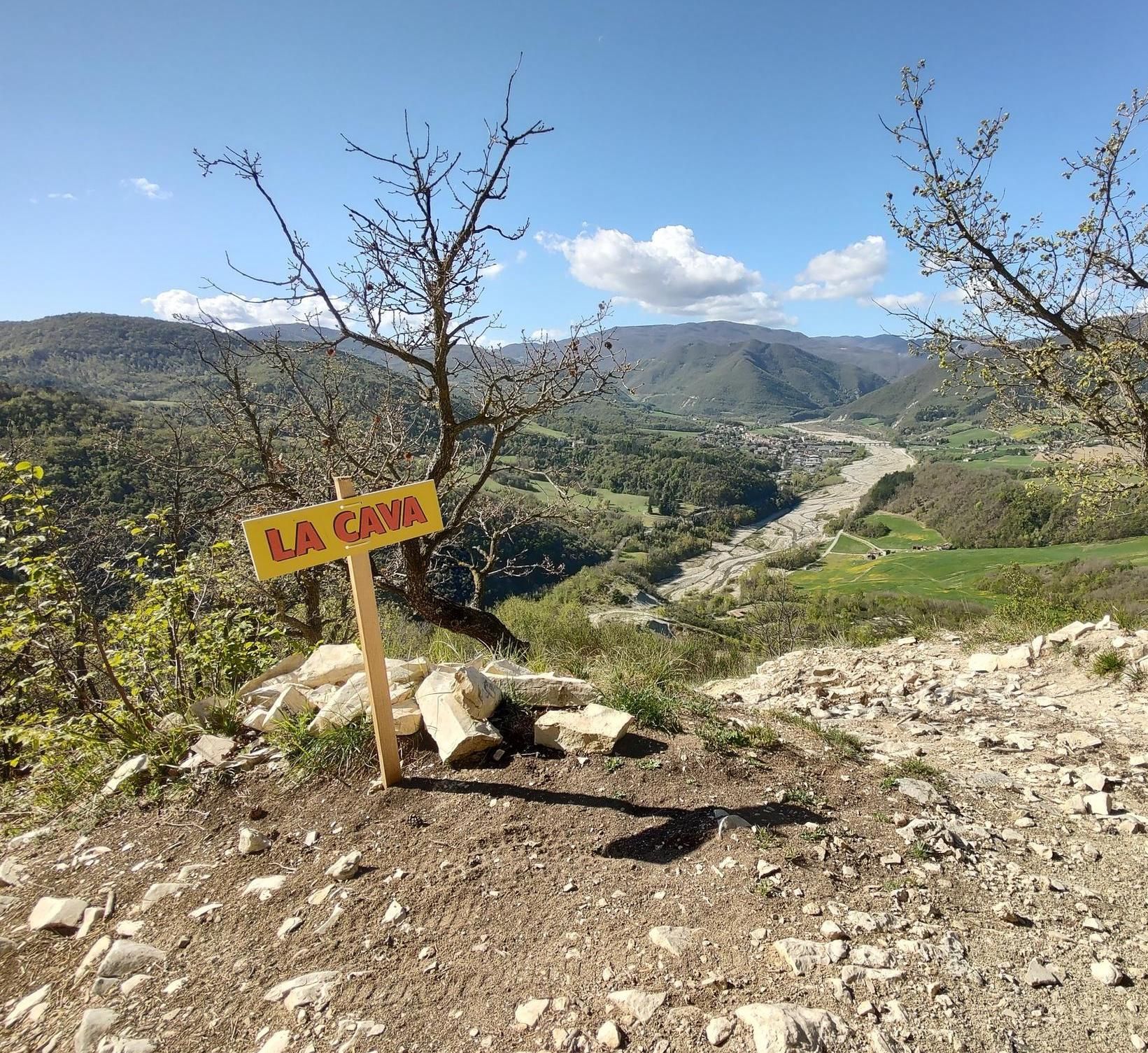
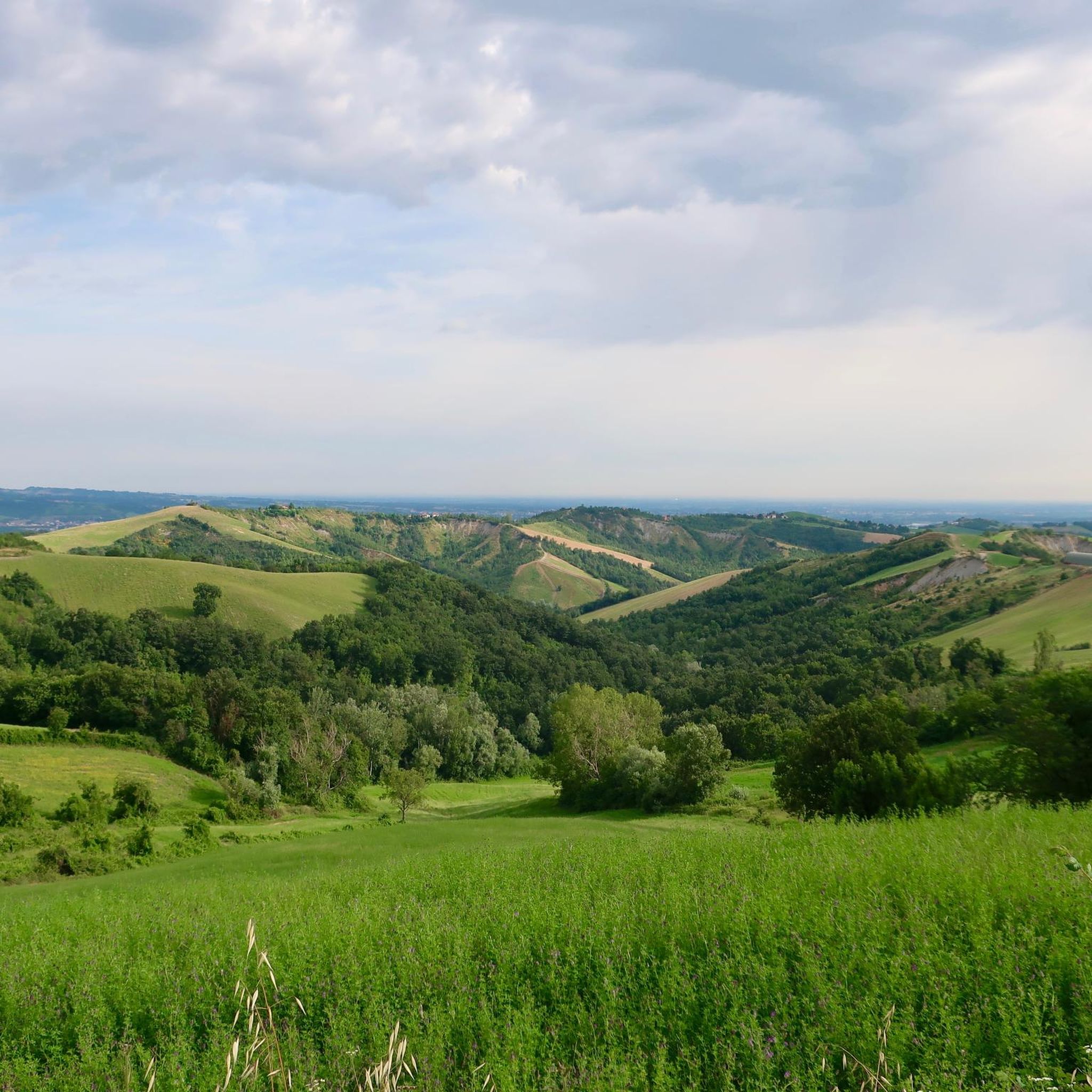
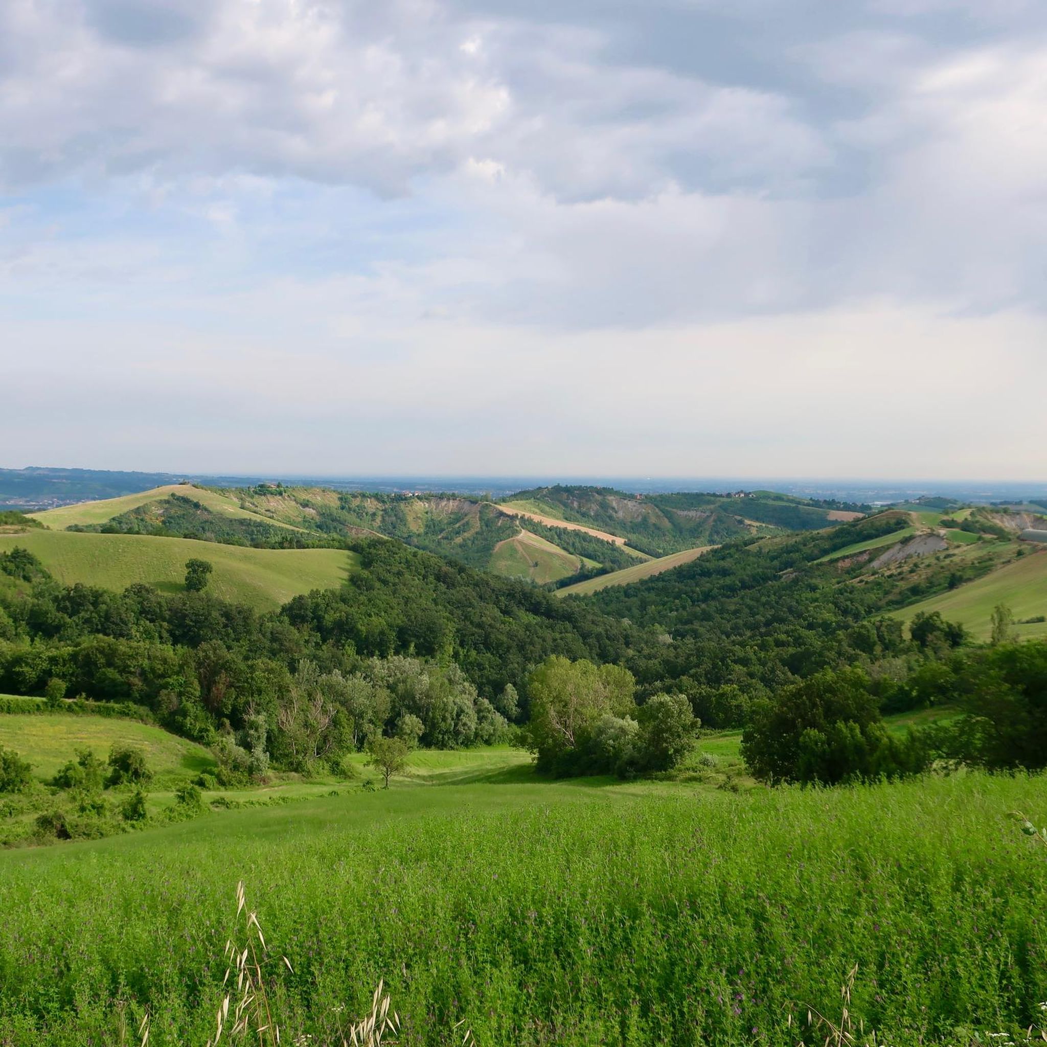
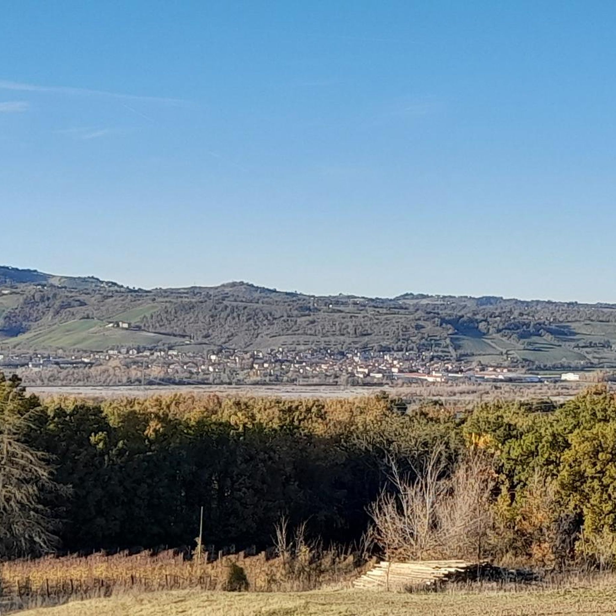
Other adventures around Collecchio

Tips from the Community

The Boschi di Carrega Regional Nature Park was established in 1982 as the first regional park in Emilia-Romagna. It is located in the province of Parma, extending for about 1270 hectares on the river terraces between the Taro river and the Baganza stream, in the municipal territories of Collecchio, Sala Baganza and Fornovo di Taro. This green lung protects a hilly area of immense naturalistic, historical and cultural value, famous for its ducal atmospheres and elegant landscapes.
0
0

La corte di Giarola è una corte rurale medievale dotata di chiesa interna, situata nell'omonima località presso Pontescodogna, frazione di Collecchio, in provincia di Parma; costituisce la sede dell'Ente di Gestione per i Parchi e la Biodiversità Emilia Occidentale, del museo del pomodoro, del museo della pasta, del Teatro alla Corte, del centro visite "Sotto il segno dell'acqua", di due sale convegni e di un ristorante.[1][2] È il punto di partenza per semplici camminate nel Parco del Taro. STORIA: La corte fu costruita originariamente tra l'VIII e il IX secolo per volere della casata di Ingo, nobile franco; l'edificio nacque quale presidio fortificato a controllo del vicino guado di un ramo della via Francigena attraverso il fiume Taro; a causa della sua prossimità al corso d'acqua, la località era conosciuta col nome di Glarola, forse di origine latina, in riferimento alla grande quantità di ghiaia depositata sulle sponde. La più antica testimonianza della sua esistenza risale al 1034, quando Glariola fu citata in un rogito di compravendita di terreni da parte di Alberto Prete a Giovanni di Viarolo. I discendenti di Ingo, feudatari della zona,nel 1045 donarono il castrum con la sua cappella romanica alla badessa Imila del monastero di San Paolo di Parma. L'anno seguente il vescovo Cadalo cedette alcune terre in castro clariolae alle monache. Nei decenni seguenti le religiose trasformarono la struttura in una corte agricola indipendente,[4][5] protetta da mura e dotata di abitazioni, stalle, caseificio e mulino alimentato dalle acque del canale Naviglio; le boscose e paludose terre circostanti furono bonificate e coltivate. Nel 1187 il papa Gregorio VIII emanò una bolla confermando alla badessa di San Paolo i diritti sull'Ecclesiam Sancti Nicomedi de Glarola, oltre a numerose altre del Parmense. A difesa dell'edificio e del guado il vescovo di Parma fece inoltre erigere una torre difensiva, che si aggiunse ai vicini castelli di Collecchio, Segalara, Madregolo e Carona. Nel 1308 i Rossi e i Lupi, dopo la loro cacciata da Parma, presero possesso della struttura fortificata di Giarola, che pochi mesi dopo fu contrattaccata dalle truppe di Giberto III da Correggio e distrutta al termine di un aspro combattimento; sopravvissero solo la corte agricola e la cappella. Nel 1440 ogni residua struttura fortificata fu completamente demolita o trasformata in abitazioni. Nel 1451 la corte ospitò durante il suo viaggio il duca di Milano Francesco Sforza,mentre nel 1495 vi si accamparono, in vista della battaglia di Fornovo, le truppe di Ludovico il Moro. Secondo il Catasto farnesiano del 1562, la corte, dipendente dalla magistratura di Parma e abitata da 110 persone, gestiva un territorio di 1140 biolche parmigiane, corrispondenti a circa 342 ettari, appartenenti in gran parte al monastero di San Paolo; le coltivazioni si estendevano in particolare nella pianura occidentale, in quanto all'epoca il fiume Taro scorreva molto più a ovest. Nel 1760 la chiesa romanica fu modificata in stile neoclassico. Dopo la conquista napoleonica del ducato di Parma e Piacenza, la corte rimase per alcuni anni soggetta direttamente al Comune (o mairie) di Parma, ma nel 1806 fu aggregata a quello di Collecchio. In seguito alla soppressione degli ordini religiosi che colpì anche le benedettine del monastero di San Paolo, nel 1811 la tenuta fu confiscata dal governo francese e affittata a imprenditori agricoli, primi tra tutti i conti Camillo e Alessandro Zileri. Gli abitanti della struttura raggiunsero la quota di 312 nel 1855, per calare un po' alla volta nei decenni seguenti. Le terre furono lottizzate e alienate a privati, mentre la corte fu acquistata alla fine del XIX secolo dalla famiglia Montagna, che dedicò parte dei terreni circostanti alla coltivazione di pomodori e costruì in adiacenza una fabbrica di conserva e un moderno caseificio con annesso allevamento di suini, affittati a conduttori esterni. Durante la seconda guerra mondiale, il 17 aprile 1945 la corte fu colpita dai bombardamenti alleati, che causarono la morte di nove persone[14] e il parziale crollo della chiesa di San Nicomede, di cui rimasero in piedi soltanto alcune porzioni delle murature esterne; il luogo di culto fu ricostruito nel 1950 nelle originarie forme romaniche. La fabbrica conserviera fu alienata nel 1957 all'imprenditore Ercole Azzali; pochi anni dopo fu però chiusa, mentre il caseificio sopravvisse ancora per qualche tempo. Dopo la cessazione dell'attività, il degrado aumentò, finché nel 1998 la corte e le strutture annesse furono acquistate dall'Ente Parco Fluviale Regionale del Taro, poi Ente di Gestione per i Parchi e la Biodiversità Emilia Occidentale, che ne avviò i lavori di ristrutturazione, adibendo parte dell'edificio a propria sede; nell'ala est furono inoltre ricavati un percorso espositivo e una sala auditorium. Nel 2005 fu recuperata la casa colonica esterna, destinata a Laboratorio storico. Nel 2006, su finanziamento della Regione Emilia-Romagna, del Comune di Collecchio e della Fondazione Cariparma, l'ala sud, originariamente adibita a legnaia e deposito, fu trasformata in sala teatrale; il Teatro alla Corte fu inaugurato nel settembre del 2007; nello stesso anno furono avviati i lavori di sistemazione dell'ala ovest, ove all'interno delle antiche stalle trovò spazio nel 2010 il Museo del pomodoro. Nel 2013 il cantiere dell'ala ovest fu completato recuperando anche l'antico pastificio e il mulino; l'anno seguente gli ambienti divennero la sede del Museo della pasta. Nel 2014 fu inoltre ricostruito il tetto della chiesa di San Nicomede,sede parrocchiale a servizio della frazione di Pontescodogna. Nel 2019 fu ristrutturato l'antico caseificio posto nell'ala nord ovest, al cui interno nel novembre dello stesso anno fu inaugurato l'Agrilab Giarola, un laboratorio di cucina per promuovere la biodiversità agroalimentare, i prodotti del territorio e la loro stagionalità. FONTE ed altre b notizie: https://it.wikipedia.org/wiki/Corte_di_Giarola
0
0

Great place for a stop and to fill up your water bottle
1
0

"It still remains to be added," writes Sigfried Grän OFM in 'Noah, the builder of the ark and inventor of viticulture', "what we left out above in the summary of the Noah story. Noah not only survives the flood and, after his rescue, offers a burnt offering to the Creator. He also incidentally becomes the inventor of viticulture. (...) In ancient Israel, the vine was considered the noblest of all plants. To own a vineyard, to enjoy its fruits and to be able to rest in the peace of its shade was ... the epitome of a happy and blessed existence." (Source: "In the Land of the Lord. Franciscan Magazine for the Holy Land", Issue 4/2024)
0
0

From behind the courtyard you enter the Taro Park towards the canals and the butterfly path
0
0

Talignano is a hamlet of the municipality of Sala Baganza (PR), it is crossed by the Scodogna stream, and is located at the entrance to the road that leads to the Boschi di Carrega and which subsequently leads to the municipality of Sala Baganza.
1
0
The court of Giarola is a medieval rural court with an internal church, located in the locality of the same name near Pontescodogna, a hamlet of Collecchio. The court was originally built between the 8th and 9th centuries at the behest of the Ingo family, a Frankish noble; the building was born as a fortified garrison to control the nearby ford of a branch of the Via Francigena across the Taro river; due to its proximity to the watercourse, the locality was known by the name of Glarola, perhaps of Latin origin, in reference to the large quantity of gravel deposited on the banks.
1
0
The parish church of San Biagio, also known as the parish church of Talignano, is a Catholic place of worship with Romanesque forms. The parish church was probably built at the beginning of the 12th century by the friars belonging to the now disappeared Cistercian monastery of Rocchetta, which at the time stood on a slope of the nearby Mount Prinzera, even if the first evidence of its existence dates back only to 1230; in Romanesque style, it was born as an intermediate stop for pilgrims who traveled the Via Francigena, who could find hospitality in the annexed hospice which was later destroyed. Between the 16th and 18th centuries the church was modified with the addition of Baroque and Neoclassical decorations. Between 1930 and 1940 the building was completely restored by removing the added superstructures, with the aim of returning it to its original appearance: the exterior was almost entirely recovered with the demolition of the plaster and the reconstruction of the Romanesque decorations, the part of the rectory annexed to the church was demolished and some single-lancet windows were opened in the apse.
1
0
Frequently Asked Questions
What kind of terrain can I expect on running routes around Collecchio?
Collecchio offers a diverse landscape for runners, situated between gentle hills and expansive plains. You'll find routes winding through extensive woodlands, including the ancient Carrega Woods Regional Park, as well as riverine environments along the Taro River. This variety provides options from flat park runs to more challenging trails with significant elevation changes.
Are there running routes suitable for beginners in Collecchio?
Yes, Collecchio has routes suitable for various ability levels. While many are moderate or difficult, there are 4 easy running routes available. These typically feature less elevation and shorter distances, perfect for those new to running or looking for a relaxed jog.
Can I find long-distance running trails in Collecchio?
Absolutely. For those looking for a longer challenge, Collecchio offers several extended routes. For example, the Lake of Switzerland – Lago del Casino del Bosco loop from Collecchio is a difficult 11.0 miles (17.7 km) path, and the Lake of Switzerland – Vineyards in the Carrega Woods loop from Collecchio stretches over 22.0 km, providing ample distance for endurance training.
What natural attractions can I see while jogging in Collecchio?
Many running routes in Collecchio pass through beautiful natural areas. You can explore the Parco Regionale dei Boschi di Carrega with its ancient woodlands, meadows, and small artificial lakes. Keep an eye out for highlights like the Road in the Boschi di Carrega or the intriguing Maria Amalia's Grotto. The Pietra Corva also offers scenic views.
Are there any circular running routes available in Collecchio?
Yes, many of the running routes in Collecchio are circular, allowing you to start and finish in the same location. A popular option is the Lago della Svizzera – Casino dei Boschi loop from Collecchio, which is a moderate 8.2 km trail through the scenic Carrega Woods.
What do other runners say about the trails in Collecchio?
The running routes in Collecchio are highly rated by the komoot community, with an average score of 3.2 stars from over 20 reviews. More than 800 runners have used komoot to explore the varied terrain, often praising the diverse landscapes, from quiet woodlands to riverine paths, and the well-marked trails within the regional parks.
Are there any historical or cultural landmarks near the running paths?
While focusing on natural beauty, some routes are close to historical sites. Within the Carrega Woods Regional Park, you can find architectural gems like the Villa Casino dei Boschi. Other nearby attractions include the Garibaldi Square and the historic Corte di Giarola.
How many running routes are there in total around Collecchio?
There are over 50 running routes documented around Collecchio, offering a wide selection for different preferences and fitness levels. This includes a mix of easy, moderate, and difficult trails.
Can I find routes with significant elevation for a more challenging run?
Yes, Collecchio's hilly terrain provides excellent options for challenging runs. Routes like the Vineyards in the Carrega Woods – Pieve di Talignano loop from Collecchio feature substantial elevation gains, making them ideal for runners seeking a more strenuous workout.
Are there any facilities like drinking fountains along the running trails?
Yes, some routes pass by facilities that can be useful for runners. For instance, you might find the Oppiano drinking fountain along certain paths, which is convenient for refilling water bottles during your run.
What are the main natural parks that offer running opportunities in Collecchio?
Collecchio is fortunate to host two significant natural parks ideal for running: the Parco Regionale dei Boschi di Carrega, known for its gentle hills and extensive woodlands, and the Parco Regionale Fluviale del Taro, which protects the riverine environment along the Taro River. Both offer diverse landscapes and well-marked trails.
Most popular routes around Collecchio
Most popular attractions around Collecchio

Get inspired with the komoot mobile app


Explore more
Browse the best Running Trails & Routes in other regions.
